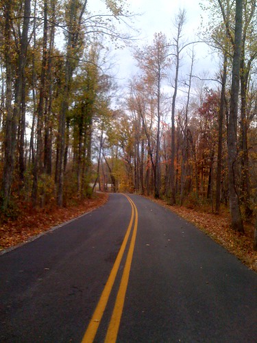
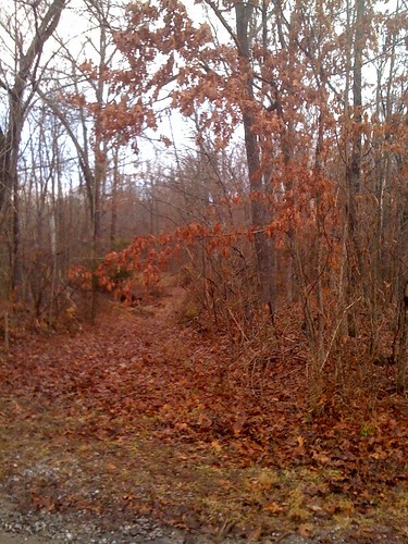
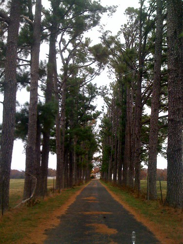
Elevation of 95 Dogwood Ln, Kirksey, KY, USA
Location: United States > Kentucky > Calloway County > Kirksey >
Longitude: -88.399633
Latitude: 36.7002565
Elevation: 169m / 554feet
Barometric Pressure: 99KPa
Related Photos:
Topographic Map of 95 Dogwood Ln, Kirksey, KY, USA
Find elevation by address:

Places near 95 Dogwood Ln, Kirksey, KY, USA:
Kirksey
1777 Hopkins Rd
169 North Dr
98 Riley Cemetery Ln, Mayfield, KY, USA
Almo Rd, Almo, KY, USA
Dr. James R. Wells Iii, Dmd
263 Mullins Ln
1494 Pleasant Hill Dr
1415 Lowes Dr
Murray State University
Almo
4th St, Hardin, KY, USA
Hardin
Murray
Main St, Murray, KY, USA
701 Olive St
Calloway County
Briggs & Stratton
1508 London Dr
138 Fairway Dr
Recent Searches:
- Elevation of Corso Fratelli Cairoli, 35, Macerata MC, Italy
- Elevation of Tallevast Rd, Sarasota, FL, USA
- Elevation of 4th St E, Sonoma, CA, USA
- Elevation of Black Hollow Rd, Pennsdale, PA, USA
- Elevation of Oakland Ave, Williamsport, PA, USA
- Elevation of Pedrógão Grande, Portugal
- Elevation of Klee Dr, Martinsburg, WV, USA
- Elevation of Via Roma, Pieranica CR, Italy
- Elevation of Tavkvetili Mountain, Georgia
- Elevation of Hartfords Bluff Cir, Mt Pleasant, SC, USA
