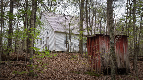
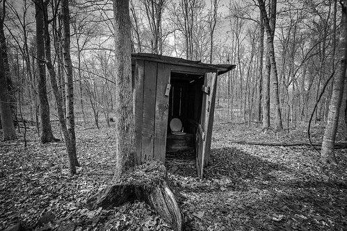
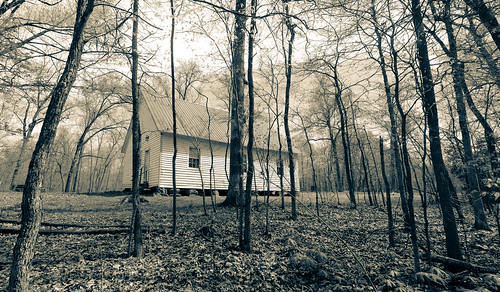
Elevation of 4th St, Hardin, KY, USA
Location: United States > Kentucky > Marshall County > Hardin >
Longitude: -88.295393
Latitude: 36.7645312
Elevation: 125m / 410feet
Barometric Pressure: 100KPa
Related Photos:
Topographic Map of 4th St, Hardin, KY, USA
Find elevation by address:

Places near 4th St, Hardin, KY, USA:
Hardin
1777 Hopkins Rd
1494 Pleasant Hill Dr
Almo Rd, Almo, KY, USA
Almo
169 North Dr
183 Championship Ln
183 Championship Ln
138 Fairway Dr
138 Fairway Dr
138 Fairway Dr
Benton
Redmond Lane
1361 Almo-shiloh Rd
Kirksey
95 Dogwood Ln, Kirksey, KY, USA
Calloway County
111 Dawson Ln
66 Wayside Ln
Marshall County
Recent Searches:
- Elevation of Corso Fratelli Cairoli, 35, Macerata MC, Italy
- Elevation of Tallevast Rd, Sarasota, FL, USA
- Elevation of 4th St E, Sonoma, CA, USA
- Elevation of Black Hollow Rd, Pennsdale, PA, USA
- Elevation of Oakland Ave, Williamsport, PA, USA
- Elevation of Pedrógão Grande, Portugal
- Elevation of Klee Dr, Martinsburg, WV, USA
- Elevation of Via Roma, Pieranica CR, Italy
- Elevation of Tavkvetili Mountain, Georgia
- Elevation of Hartfords Bluff Cir, Mt Pleasant, SC, USA
