Elevation of Old Watson Rd, Johnson City, TN, USA
Location: United States > Tennessee > Washington County > Johnson City >

Longitude: -82.322058

Latitude: 36.2831116

Elevation: 516m / 1693feet

Barometric Pressure: 95KPa

Elevation Map:

elevation map of Old Watson Rd, Johnson City, TN, USA

Satellite Map:

Satellite map of Old Watson Rd, Johnson City, TN, USA
Related Photos:

city sports basketball memorial university state tennessee johnson mini center east explore dome ncaa etsu bucs thechallengefactory
Watching the Game
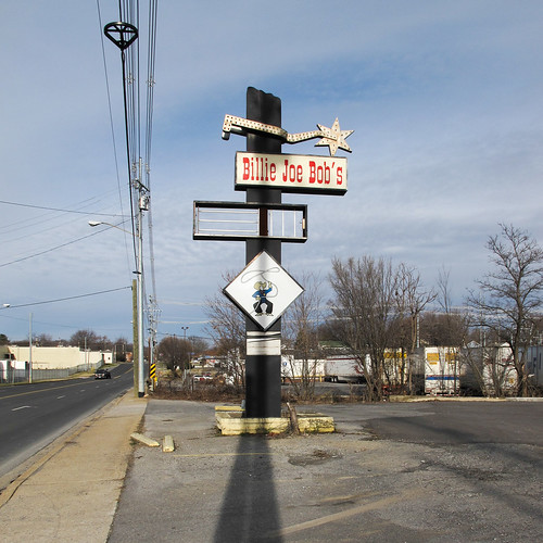
2013 20131228 billiejoebob billiejoebobs broadwaystreet december december2013 img8730 johnsoncity johnsoncitytennessee johnsoncitylandscape johnsoncitystreetscape tennessee tennesseelandscape tricities tricitiesregion washingtoncounty washingtoncountytennessee bar barsign cowboy cowboyillustration cowboywithalasso curbs dirt distanttrees drinkingestablishment easttennessee easterntennessee electriclines fourlanestreet giantspur landscape lariat lasso lightpole missingpanels northeasttennessee northeasterntennessee oversizedspur parking parkingcurbs parkinglot powerlines sand sidewalk signlesssign spur street streetlight streetscape view unitedstates
Cowboy drinking establishment of this urbanized region of the southern Appalachians.
square squareformat iphoneography instagramapp uploaded:by=instagram
My view - what are you looking at right now?
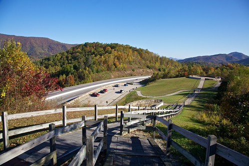
tennessee fallcolors reststop restarea highway26 24105l tennesseehighways highway26tennessee
203 walking down path to parking lot
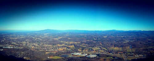
sunset panorama lens unitedstates tennessee hdr unicoi hdrpanorama vanlife geo:country=unitedstates geo:state=tennessee exif:make=panasonic camera:make=panasonic exif:aperture=ƒ35 lumixg14mmf25 exif:lens=lumixg14f25 picsporadic exif:isospeed=100 exif:focallength=14mm brendanjamesphotography camera:model=dmcg7 exif:model=dmcg7 geo:city=unicoi
Pinnacle Mountain Fire Tower HDR Panorama
hiking treking johnsoncitytn buffalomtn
Buffalo Pano
church tn tennessee presbyterian jonesborough 1850 jonesboro washingtoncounty bmok bmokchurch
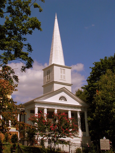
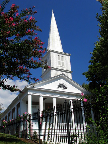
First Presbyterian Church - Jonesborough, TN
film night historic favorites scan 1976 tennessee closeup everything views nosduhmj virginia
2013.12.27 125K Views
tennessee reststop highway26 scenicviewpoint 24105l tennesseehighways scenicreststop highway26tennessee
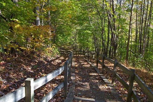
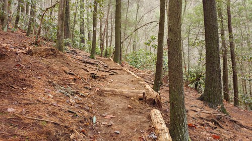
195 Trail to top of hill at rest stop in Tennessee
highway26 scenicviewpoint tennesseehighways scenicreststop claireastafford claireathompson highway26tennessee
201 Claire on the trail
unitedstates tennessee unicoi vanlife geo:country=unitedstates geo:state=tennessee exif:make=panasonic camera:make=panasonic exif:aperture=ƒ35 exif:lens=lumixg14f25 picsporadic exif:isospeed=100 exif:focallength=14mm brendanjamesphotography camera:model=dmcg7 exif:model=dmcg7 geo:city=unicoi
Pinnacle Tower HDR Panorama 2
church tn tennessee presbyterian jonesborough 1850 jonesboro washingtoncounty bmok bmokchurch
First Presbyterian Church - Jonesborough, TN
tn tennessee storefronts 1908 elizabethton cartercounty bmok bmok2 elizabethtonwalkingtour barnesboringhardware
Storefronts of Historic Elizabethton - Barnes Boring Hardware
uploaded:by=flickrmobile flickriosapp:filter=nofilter
Great view
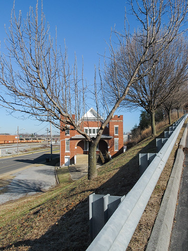
2013 20131227 december december2013 img8134 johnsoncity johnsoncitytennessee johnsoncitylandscape tennessee tennesseelandscape tricities tricitiesregion v vshape washingtoncounty washingtoncountytennessee waterstreet y yshape yshapedtree building citytree cloudlesssky downtown downtownjohnsoncity easttennessee easterntennessee embankment grass guardrail landscape mowed mowedembankment mowedgrass northeasttennessee northeasterntennessee paved pavment steepembankment sunny tree trees urbanlandscape urbantree view winterlandscape unitedstates
A view of a building!
park city autumn kite geotagged photography tennessee johnson aerial deer kap winged geotoolgmif geolat36394066 geolon82360811
May Isolation Theme Entry
travel tn tennessee butterflies insects roadtrip moths bicycletour cycletouring fromabike theworldfromabike
myspace 022
mountain buffalo tn tennessee hdr johnsoncity stateoffranklin
Buffalo Mountain
cinema theater tn tennessee artnouveau elizabethton cartercounty ritztheater bmok birchfielbuilding bmok2
Birchfiel Building (Ritz Theater)
hiking tennessee fallcolors trails highway26 scenicviewpoint tennesseehighways scenicreststop highway26tennessee
197 On the trail to the top
tennessee reststop restarea highway26 tennesseehighways scenicreststop highway26tennessee
199 View top of the trail
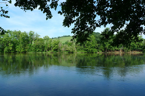
Wautauga River
county city washington tn tennessee johnson tenn east
Pine Oaks Golf Course
square squareformat iphoneography instagramapp uploaded:by=instagram
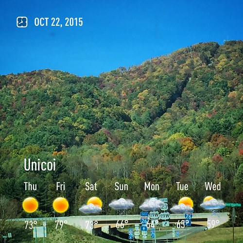
#firetower #pinnacle #Unicoi #forecast #weatherforecast
Weather Up Ahead
IMG_0160.JPG
instagramapp square squareformat iphoneography uploaded:by=instagram normal foursquare:venue=4ba3eb27f964a5207f6d38e3
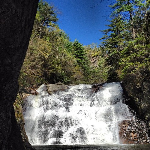
Laurel Falls, on the Appalachian Trail.
berg heuvel buffel wetenschap
Wetenschap Heuvel
chfstew tennessee tncartercounty appalachiantrail landscape
north of Laurel Fork Falls, Appalachian NST, Hampton, TN
county city washington tn tennessee johnson tenn east
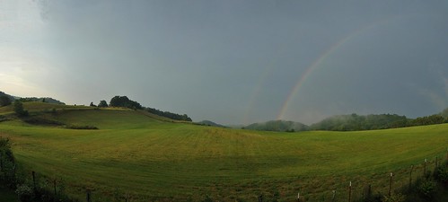
Jonesborough, TN Rainbow
barn rural tennessee redbarn
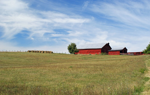
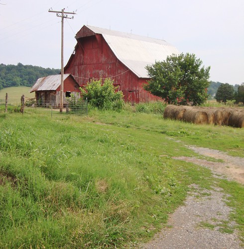
RED BARN
unitedstates tennessee elizabethton
20081020-135034.jpg
IMG_1583.JPG
day tennessee clear coveredbridge elizabethton doeriver
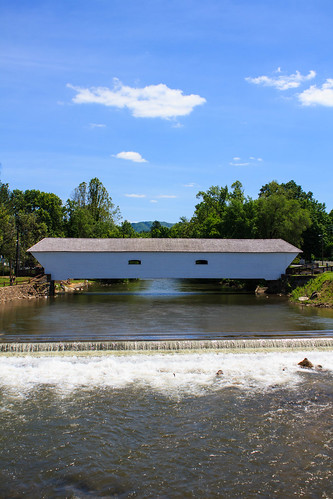
Elizabethton's Covered Bridge
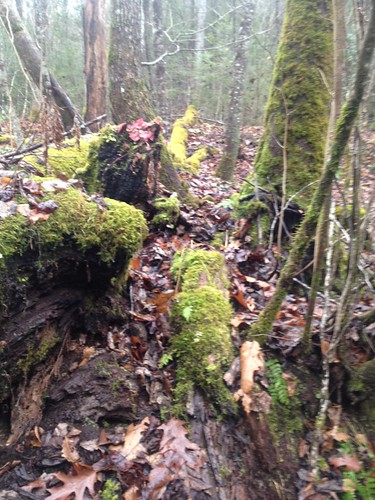
spoiler - Green Mossy Tree
creek dark hollow
Dark Hollow Creek
landscapes tn tennessee rockymount easttennessee sullivancounty pineyflats
East Tennessee Farm (Sullivan County, Tennessee)
flags scouts memorialdayweekend flagceremony troup10
Placing Flags for Memorial Day