Elevation of Johnson City, TN, USA
Location: United States > Tennessee > Washington County >
Longitude: -82.353472
Latitude: 36.3134397
Elevation: 500m / 1640feet
Barometric Pressure: 95KPa
Elevation Map:
Satellite Map:
Related Photos:

Pinnacle Tower HDR Panorama 2

Pinnacle Mountain Fire Tower HDR Panorama

Watching the Game

My view - what are you looking at right now?

203 walking down path to parking lot

Buffalo Pano

Hale's Grocery

Parents view.

View of Gray, TN

First Presbyterian Church - Jonesborough, TN

201 Claire on the trail

195 Trail to top of hill at rest stop in Tennessee

Great view

myspace 023

First Presbyterian Church - Jonesborough, TN
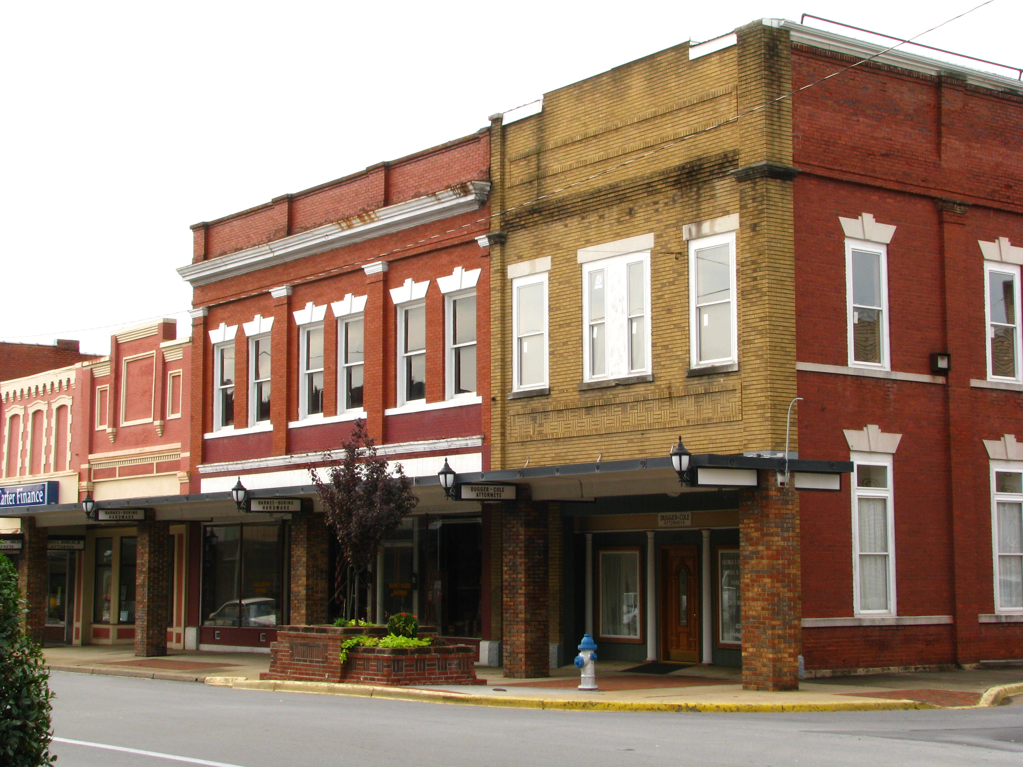
Storefronts of Historic Elizabethton - Barnes Boring Hardware

myspace 022

May Isolation Theme Entry

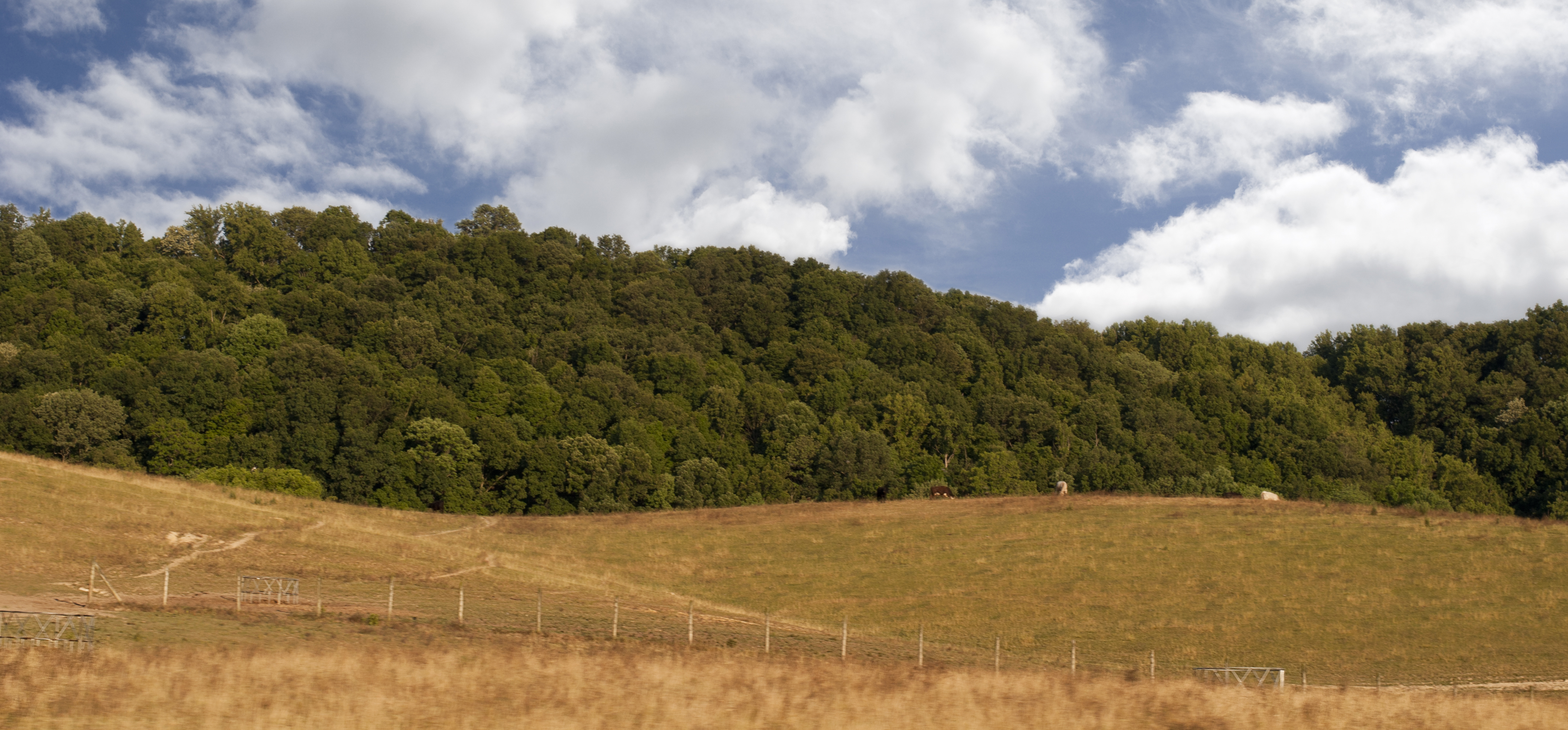
Buffalo Mountain

197 On the trail to the top
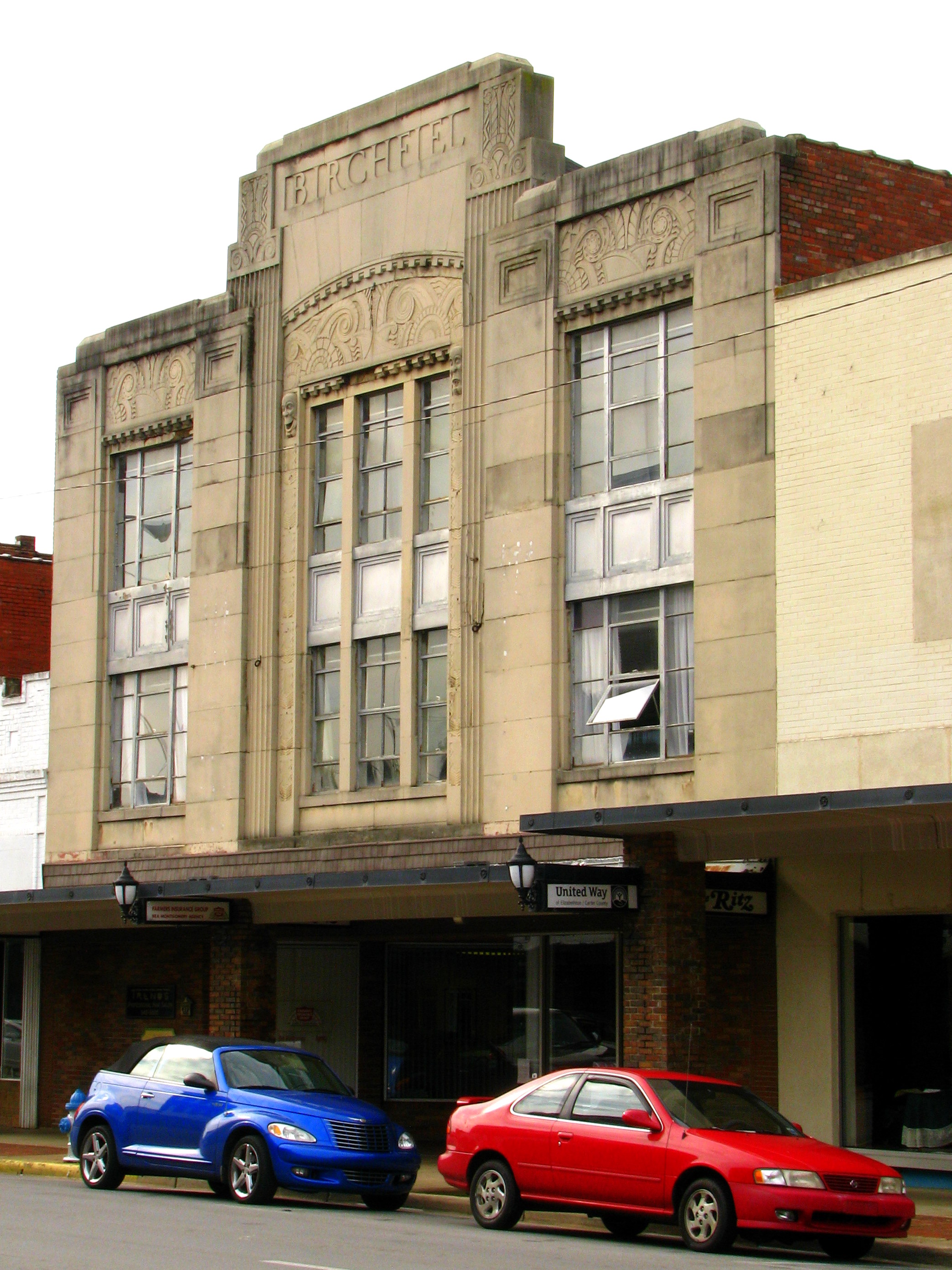
Birchfiel Building (Ritz Theater)
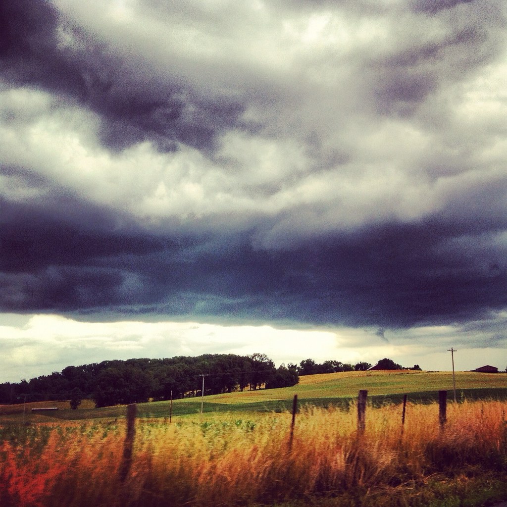
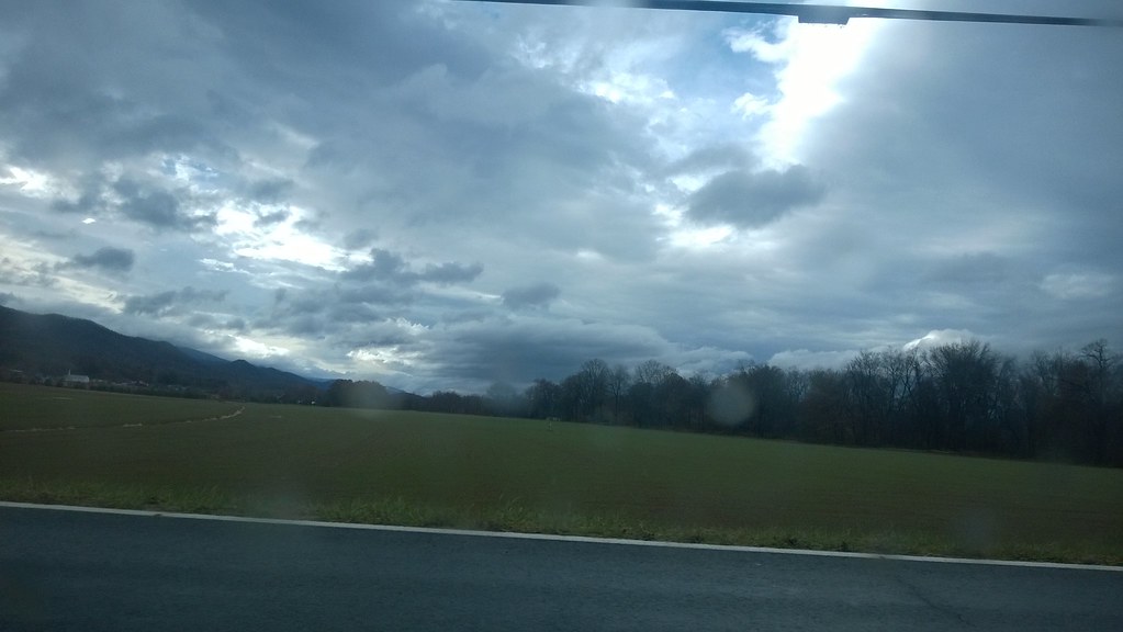
Weather Up Ahead
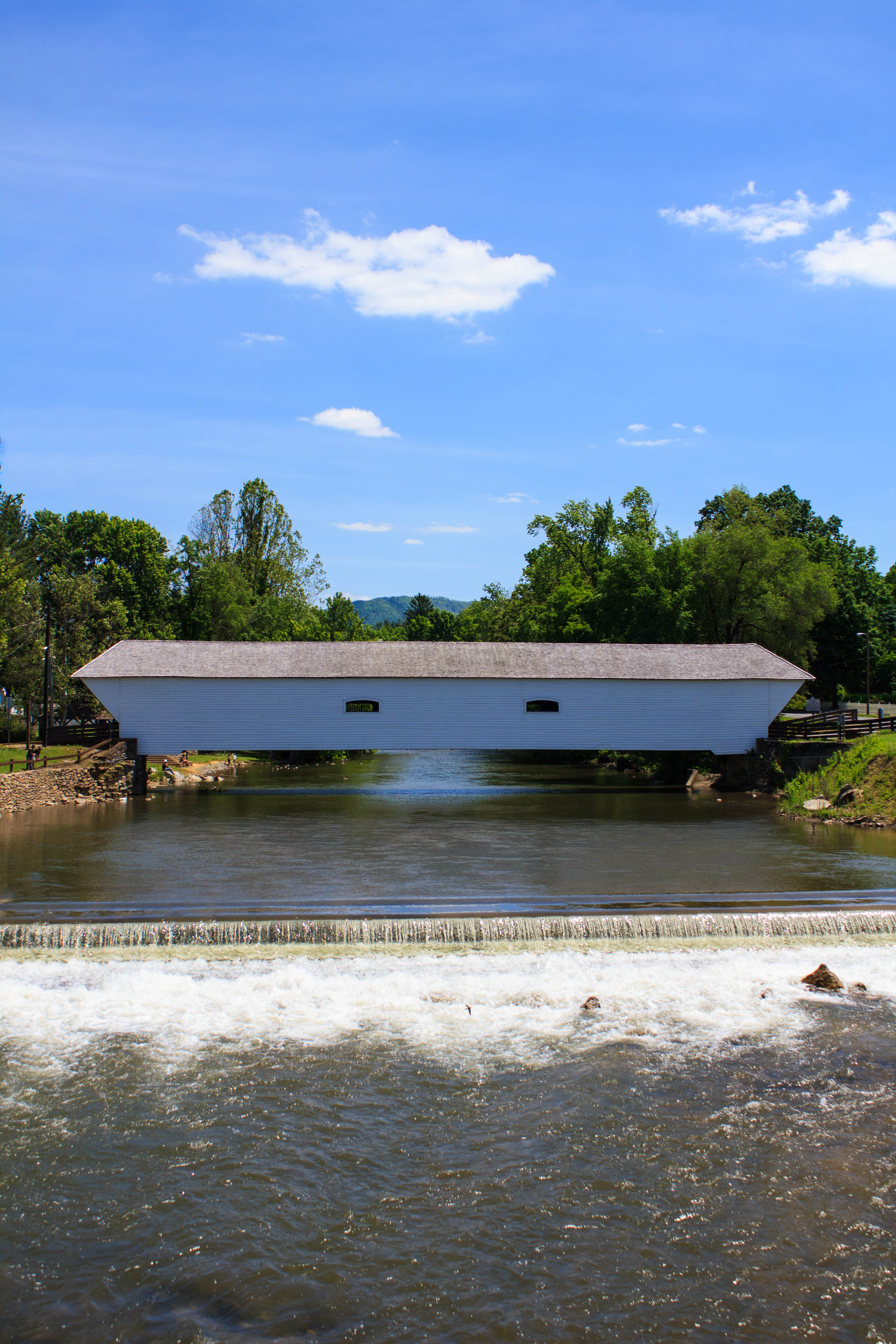
Elizabethton's Covered Bridge

Nolichucky River
Luscious Landscape Layers

Elizabethon, TN

Elizabethon, TN

Elizabethon, TN

Doe River Covered Bridge

Wautauga River

Pine Oaks Golf Course

IMG_0160.JPG

Elizabethon, TN

P1000298.JPG

Elizabethon, TN
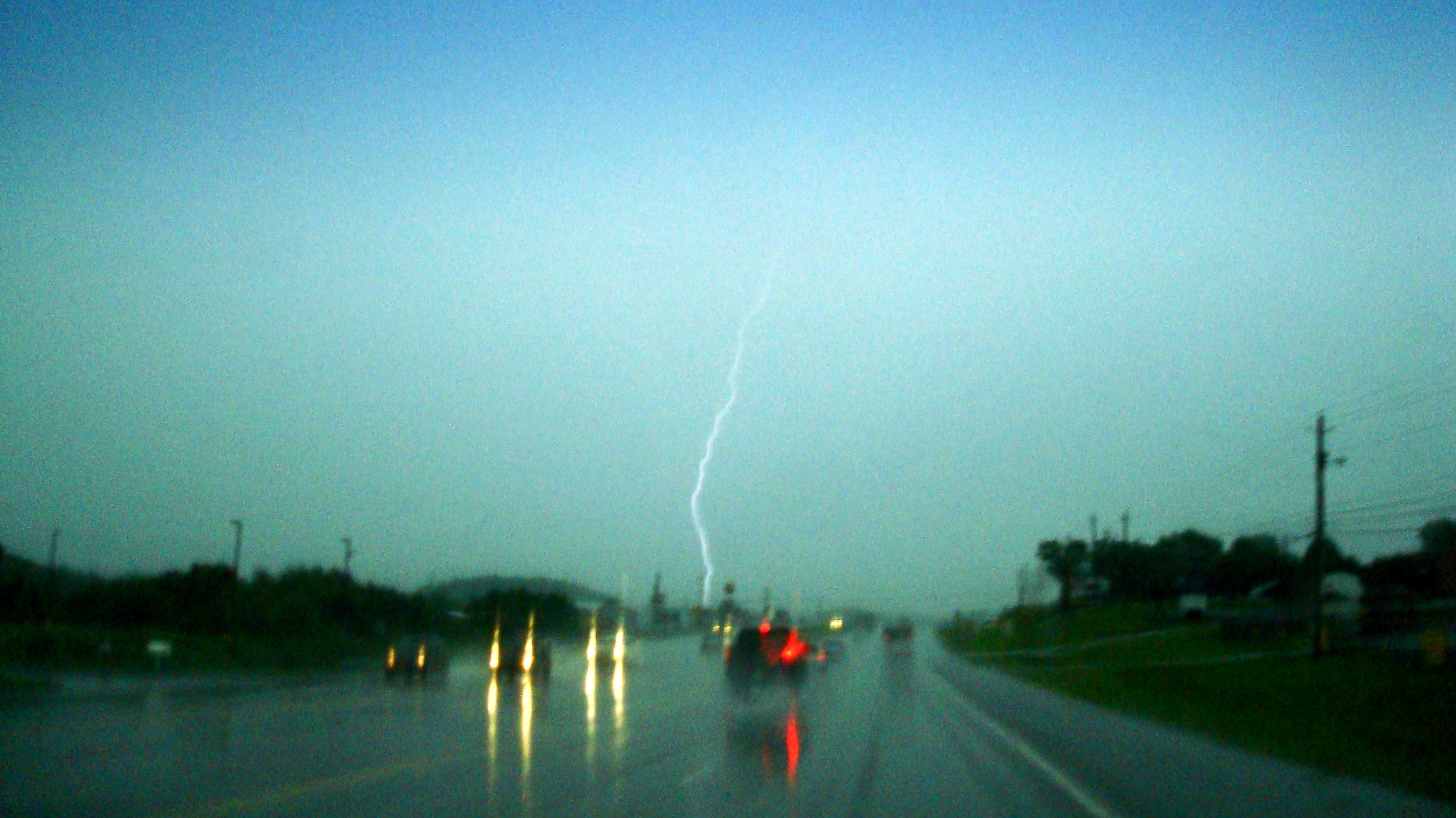
2009.06.18.01 Lightning

Elizabethon, TN
WP_20141123_063.JPG

IMG_1583.JPG

Wetenschap Heuvel
Topographic Map of Johnson City, TN, USA
Find elevation by address:

Places in Johnson City, TN, USA:
Milligan Hwy, Johnson City, TN, USA
Oak Ln, Johnson City, TN, USA
Watauga Flats Rd, Johnson City, TN, USA
Lake Harbor Dr, Johnson City, TN, USA
Carter Sells Rd, Johnson City, TN, USA
W Walnut St, Johnson City, TN, USA
S Roan St, Johnson City, TN, USA
Indian Ridge Rd, Johnson City, TN, USA
Princeton Rd, Johnson City, TN, USA
Honeysuckle Lane
Gilbreath Drive
Buffalo Mountain
Johnson City, TN, USA
Cherokee
Highridge Road
Highridge Road
Coldwater Drive
Tree Streets
Boone Lake
Mcqueen Hollow Road
Carroll Creek Road
Carroll Creek Road
Tree Top Lane
Places near Johnson City, TN, USA:
Tree Streets
701 W Locust St
311 Holly St
1111 Southwest Ave
734 W Maple St
Johnson City, TN, USA
Gilbreath Drive
1212 Welbourne St
563 Hale St
Johnson City Fire Department
904 Echo Ln
East Tennessee State University
111 Ridgemont Rd
Honeysuckle Lane
Milligan Hwy, Johnson City, TN, USA
East Tennessee State University - Quillen College Of Medicine
Highridge Road
Highridge Road
Oak Ln, Johnson City, TN, USA
6 Perry Cir
Recent Searches:
- Elevation of Corso Fratelli Cairoli, 35, Macerata MC, Italy
- Elevation of Tallevast Rd, Sarasota, FL, USA
- Elevation of 4th St E, Sonoma, CA, USA
- Elevation of Black Hollow Rd, Pennsdale, PA, USA
- Elevation of Oakland Ave, Williamsport, PA, USA
- Elevation of Pedrógão Grande, Portugal
- Elevation of Klee Dr, Martinsburg, WV, USA
- Elevation of Via Roma, Pieranica CR, Italy
- Elevation of Tavkvetili Mountain, Georgia
- Elevation of Hartfords Bluff Cir, Mt Pleasant, SC, USA