Elevation of Hyder House, State Hwy, Johnson City, TN, USA

Location: United States > Tennessee > Carter County > Elizabethton >

Longitude: -82.294244

Latitude: 36.2980648

Elevation: 494m / 1621feet

Barometric Pressure: 96KPa

Elevation Map:

elevation map of Hyder House, State Hwy, Johnson City, TN, USA

Satellite Map:

Satellite map of Hyder House, State Hwy, Johnson City, TN, USA

Related Photos:

arrivalsunset iphone johnsoncitytn melsyard sunset johnsoncity tennessee unitedstates us
Buffalo Mountain Sunset_-1643-Edit
unitedstates tennessee unicoi vanlife geo:country=unitedstates geo:state=tennessee exif:make=panasonic camera:make=panasonic exif:aperture=ƒ35 exif:lens=lumixg14f25 picsporadic exif:isospeed=100 exif:focallength=14mm brendanjamesphotography camera:model=dmcg7 exif:model=dmcg7 geo:city=unicoi
Pinnacle Tower HDR Panorama 2
lake dam appalachian watauga
Watauga Lake
uploaded:by=flickrmobile flickriosapp:filter=nofilter
Great view
lake river dam appalachian watauga
Watauga Lake Dam
View from White Rocks on Buffalo Mountain
2013 20131228 broadwaystreet brushcreek december december2013 holstonriverdrainagebasin holstonriverwatershed img8724 johnsoncity johnsoncitytennessee johnsoncitylandscape northbroadwaystreet ohioriverdrainagebasin ohioriverwatershed tennessee tennesseeriverdrainagebasin tennesseeriverwatershed tennesseelandscape tricities tricitiesregion washingtoncounty washingtoncountytennessee wataugariverdrainagebasin wataugariverwatershed channelisation channelization channelizedcreek channelizedriver channelizedstream creek creekchannelization creekengineering creeklandscape easttennessee easterntennessee electriclines electricpoles landscape mowedcreekbanks mowedriverbanks mowedstreambanks northeasttennessee northeasterntennessee overheadelectriclines overheadpowerlines partlycloudy powerlines river riverchannelization riverengineering riverlandscape riverinelandscape rocks semitrailers smallriver stream streamchannelization streamengineering streamlandscape street telephonepoles trailers treelesscreekbanks treelessriverbanks trucktrailers urbancreek urbanriver urbanstream utilitypoles view viewfromabridge winter winterlandscape unitedstates
Ah the treelessness of the urban waters of Brush Creek in Johnson City, on full view.
history rural vintage photography photo nikon tennessee engineering americanflag pic oldbuildings historic photograph americana courthouse thesouth hdr redwhiteblue easttennessee jonesborough oldglory ruralamerica engineeringasart courtsquare historicbuilding historiccourthouse 2015 smalltownamerica washingtoncounty nationalregisterofhistoricplaces photomatix bracketed vintagebuilding ruraltennessee hdrphotomatix ofandbyengineers ruralview fadingamerica jonesboroughtn hdrimaging retrobuilding classicbuilding vanishingamerica oldandbeautiful ibeauty historyisallaroundus antiquebuilding jonesboroughtennessee washingtoncountycourthouse hdraddicted tennesseephotographer d5200 structuresofthesouth southernphotography screamofthephotographer hdrvillage engineeringisart tennesseesoldesttown jlrphotography photographyforgod worldhdr tennesseehdr nikond5200 hdrrighthererightnow engineerswithcameras hdrworlds jlramsaurphotography washingtoncountytncourthouse americanrelics it’saretroworldafterall
Washington County, TN Courthouse - Jonesboro, TN
sunset panorama lens unitedstates tennessee hdr unicoi hdrpanorama vanlife geo:country=unitedstates geo:state=tennessee exif:make=panasonic camera:make=panasonic exif:aperture=ƒ35 lumixg14mmf25 exif:lens=lumixg14f25 picsporadic exif:isospeed=100 exif:focallength=14mm brendanjamesphotography camera:model=dmcg7 exif:model=dmcg7 geo:city=unicoi
Pinnacle Mountain Fire Tower HDR Panorama
city sports basketball memorial university state tennessee johnson mini center east explore dome ncaa etsu bucs thechallengefactory
Watching the Game
square squareformat iphoneography instagramapp uploaded:by=instagram
My view - what are you looking at right now?
chfstew tennessee tncartercounty landscape lake
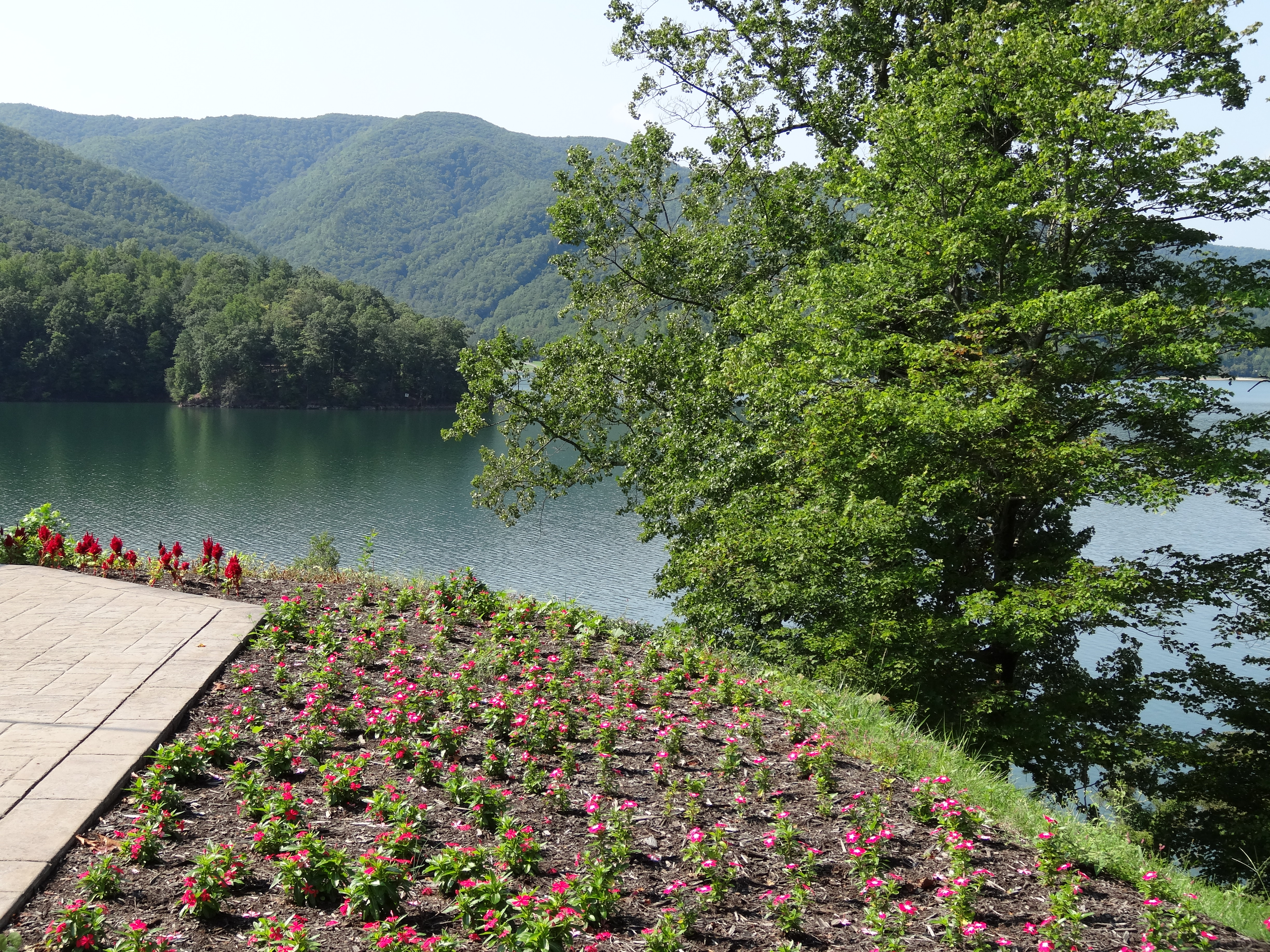
Watauga Lake, Carter County, TN
tennessee fallcolors reststop restarea highway26 24105l tennesseehighways highway26tennessee
203 walking down path to parking lot
hiking treking johnsoncitytn buffalomtn
Buffalo Pano
pinnacle buffalo mountain lookout tower jack snider park unicoi tennessee cherokee
Pinnacle Mountain Lookout Tower
film night historic 1976 tennessee closeup virginia scanned views
2013.12.27 125K Views
highway26 scenicviewpoint tennesseehighways scenicreststop claireastafford claireathompson highway26tennessee
201 Claire on the trail
square lofi squareformat iphoneography instagramapp uploaded:by=instagram foursquare:venue=4dc9b734b0fb4d30a44181bf
Parents view.
tennessee reststop highway26 scenicviewpoint 24105l tennesseehighways scenicreststop highway26tennessee
195 Trail to top of hill at rest stop in Tennessee
tn tennessee storefronts 1908 elizabethton cartercounty bmok bmok2 elizabethtonwalkingtour barnesboringhardware
Storefronts of Historic Elizabethton - Barnes Boring Hardware
nature scenic falls trail waterfalls appalachiantrail laurelfalls cherokeenationalforest at
Scenic View #2
trees mountain lake color fall forrest tennessee east explore national hero winner cherokee watauga thechallengefactory
Watauga Lake
Laurel Falls
county city washington tn tennessee johnson tenn east
Pine Oaks Golf Course
bridge tn tennessee coveredbridge elizabethton haer 1882 doeriver cartercounty howetruss nrhp queenofthesouth doerivercoveredbridge elizabethtoncoveredbridge bmok fivedollarbridge kissingbeidge
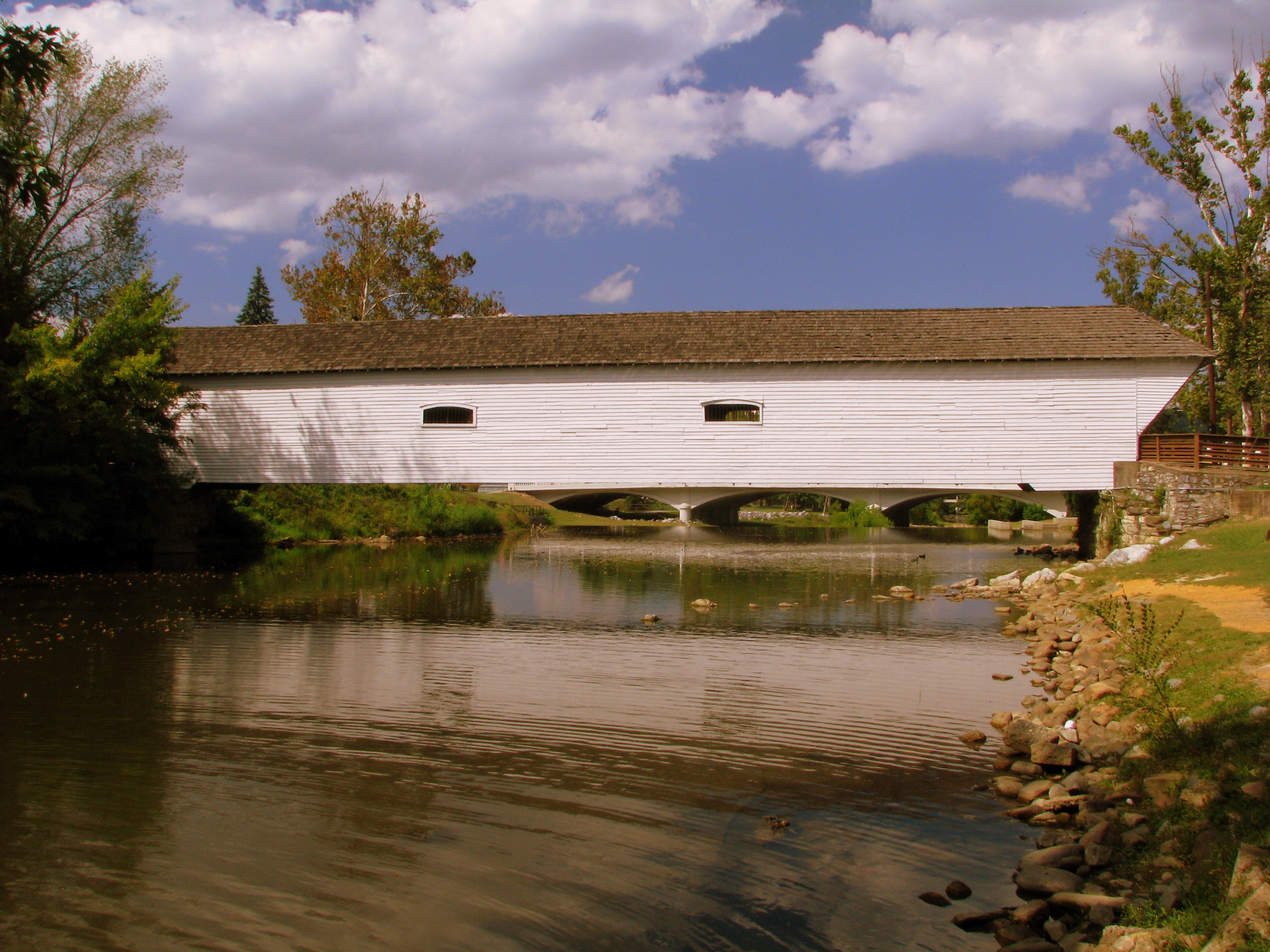
Doe River Covered Bridge
barn rural tennessee redbarn
RED BARN
river tennessee cartercounty wataugariver
Morning on the Watauga
chfstew landscape tennessee appalachiantrail waterfall tncartercounty
Laurel Fork Falls, Appalachian NST, TN
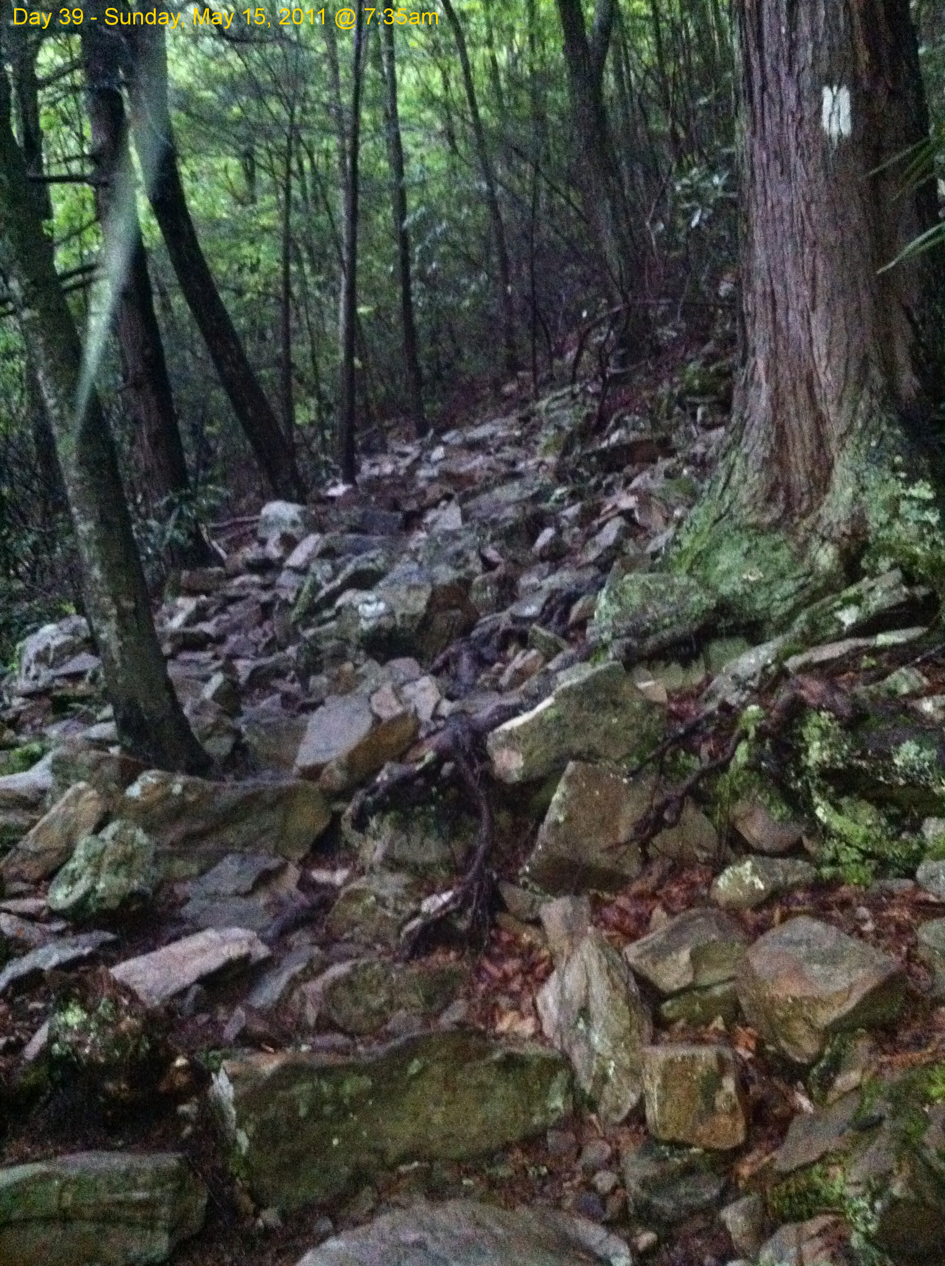
Scribbles AT Hike 2011-05-15 @ 07-35-14