Elevation of Old U.S. 81, McPherson, KS, USA
Location: United States > Kansas > Mcpherson County > King City > Mcpherson >
Longitude: -97.627766
Latitude: 38.290918
Elevation: 453m / 1486feet
Barometric Pressure: 96KPa
Elevation Map:
Satellite Map:
Related Photos:

'roid week 09 - day 2
'roid week 09 - day 5
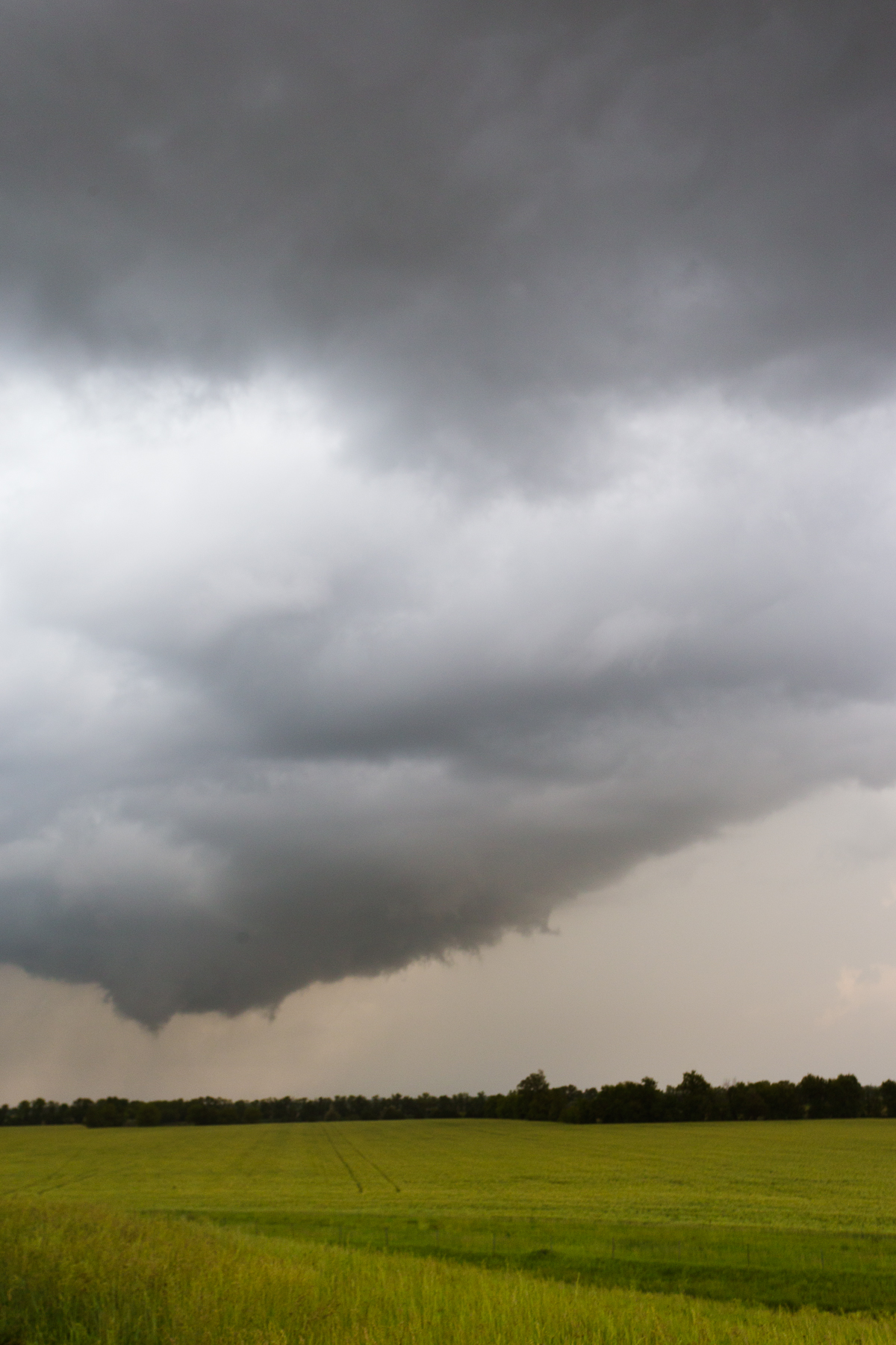
Oxford Storm 4

Brown eyed boy
Statue Closeup

Self 10/23/06 - Day 52 - TripletSelf

McPherson County Courthouse Clock Tower (McPherson, Kansas)
McPherson Water Park
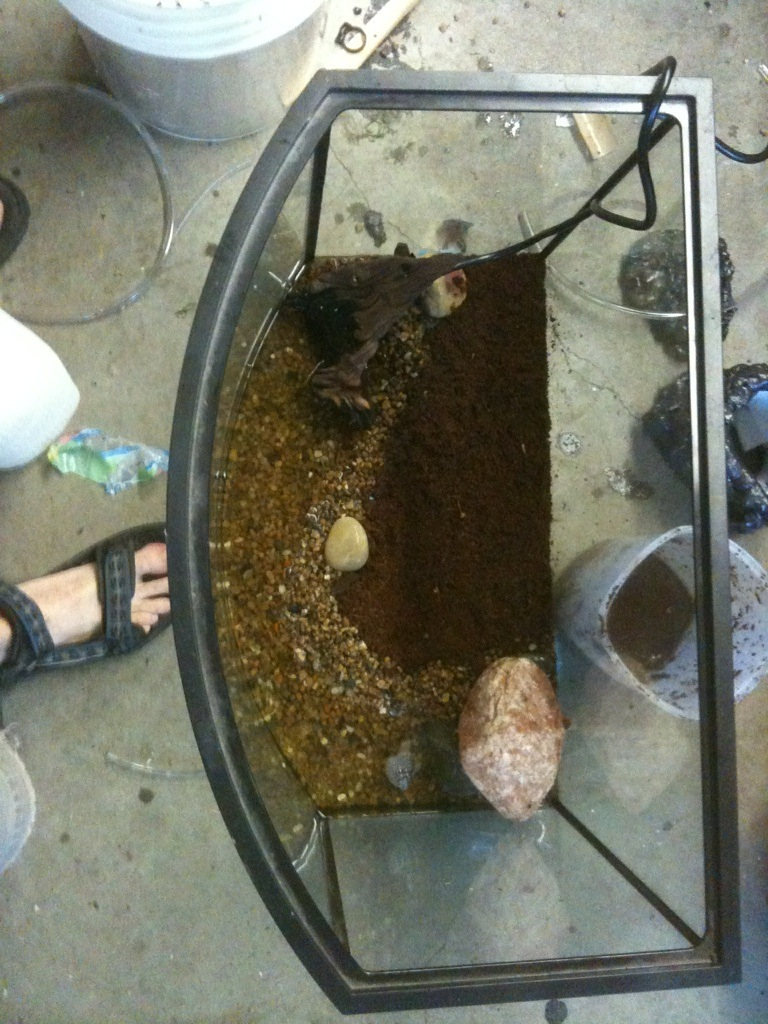
Terrarium build, top view finished.
More begging for votes :oD
IMG_0797.jpg
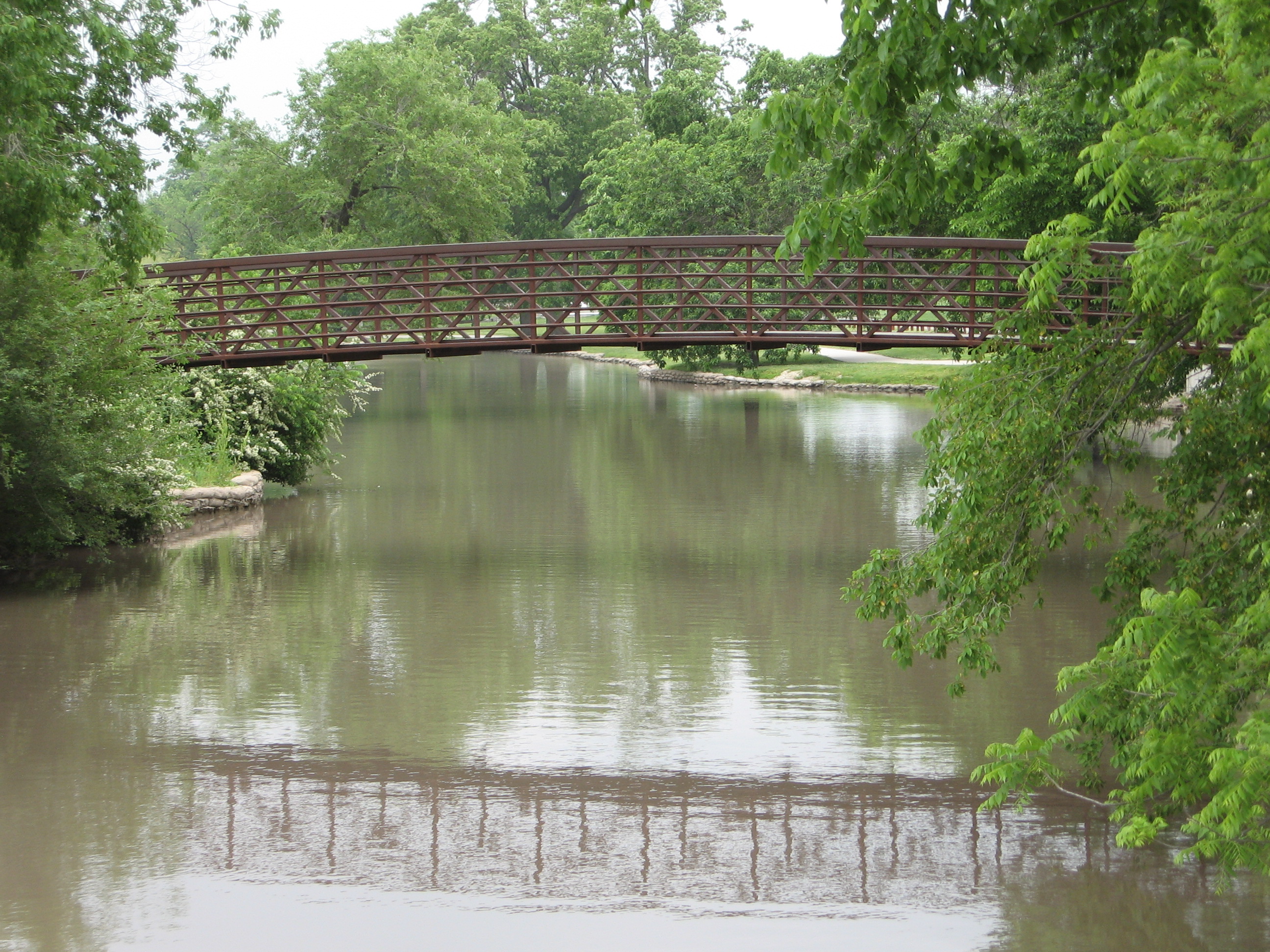
Bridge + its reflection
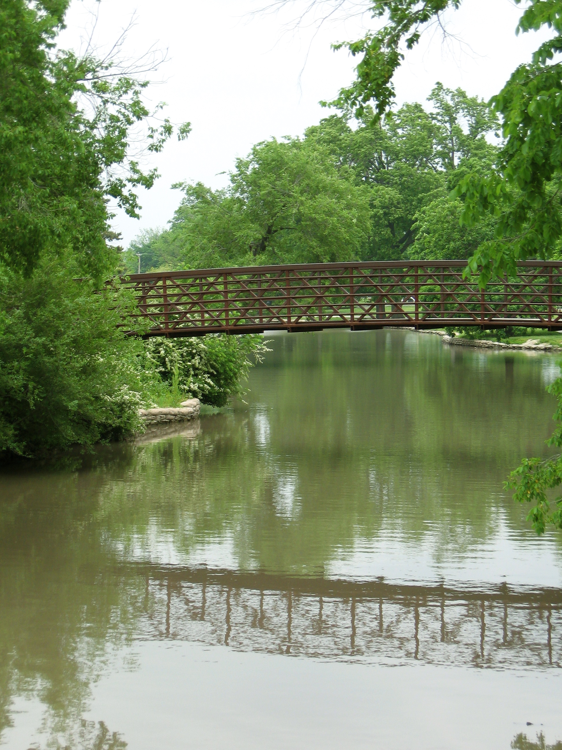
Bridge + its reflection
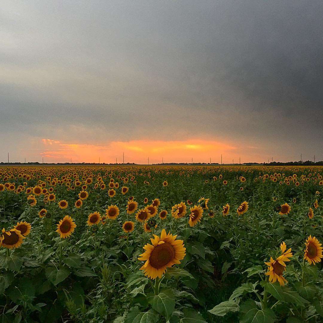
Sunset in Central KS #motopic
Topographic Map of Old U.S. 81, McPherson, KS, USA
Find elevation by address:

Places near Old U.S. 81, McPherson, KS, USA:
King City
Mcpherson County
2400 E Kansas Ave
Mcpherson
N Elm St, McPherson, KS, USA
Pennsylvania St, McPherson, KS, USA
Mound
Apache Road
Empire
Galva
Moundridge
Cole St, Moundridge, KS, USA
US-56, Galva, KS, USA
Pathfinder Ln, McPherson, KS, USA
Alta
Jackson
New Gottland
Pawnee Rd, McPherson, KS, USA
New Gottland
US-56, McPherson, KS, USA
Recent Searches:
- Elevation of Corso Fratelli Cairoli, 35, Macerata MC, Italy
- Elevation of Tallevast Rd, Sarasota, FL, USA
- Elevation of 4th St E, Sonoma, CA, USA
- Elevation of Black Hollow Rd, Pennsdale, PA, USA
- Elevation of Oakland Ave, Williamsport, PA, USA
- Elevation of Pedrógão Grande, Portugal
- Elevation of Klee Dr, Martinsburg, WV, USA
- Elevation of Via Roma, Pieranica CR, Italy
- Elevation of Tavkvetili Mountain, Georgia
- Elevation of Hartfords Bluff Cir, Mt Pleasant, SC, USA