Elevation of Alta, KS, USA
Location: United States > Kansas > Mcpherson County >
Longitude: -97.633113
Latitude: 38.1318318
Elevation: 433m / 1421feet
Barometric Pressure: 96KPa
Elevation Map:
Satellite Map:
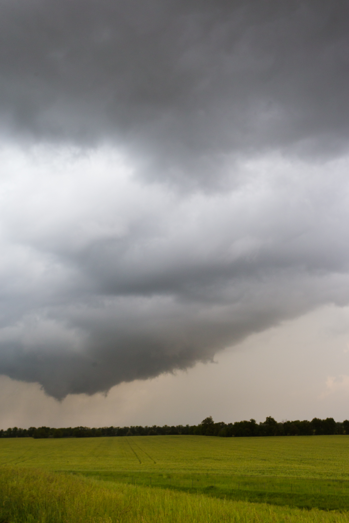
Related Photos:
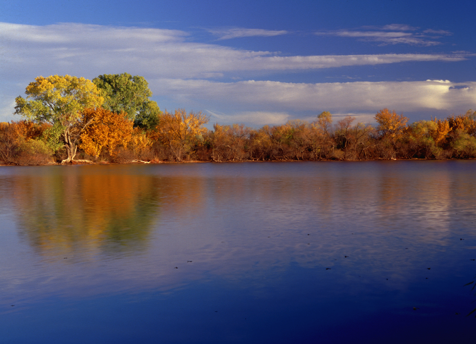
Fall Color 3

Bridge 1018-02
Horse Hair in snow

RoadTrip 201207300022

Trappers Rendezvous at Harvey County Park West
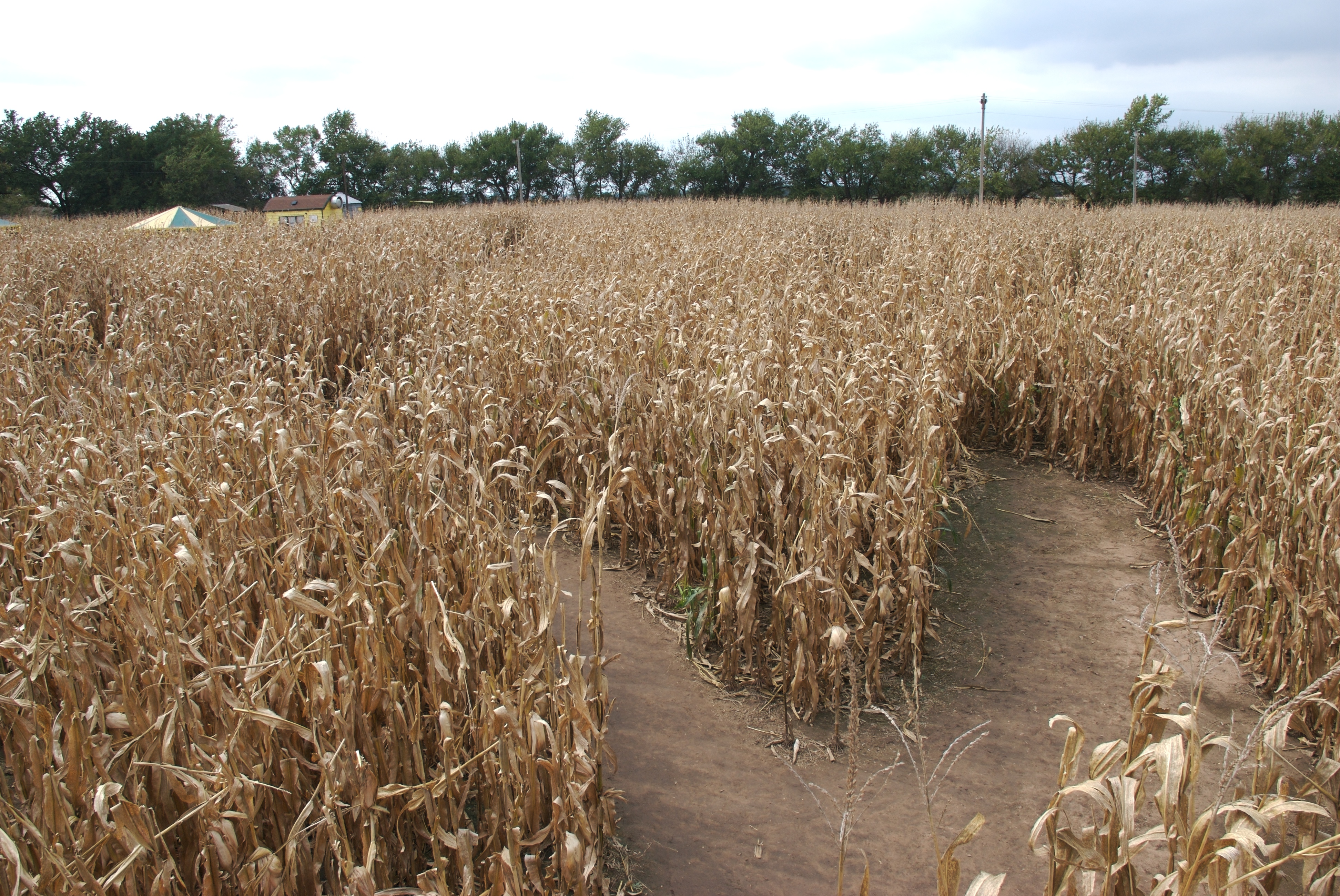
Corn maze from bridge
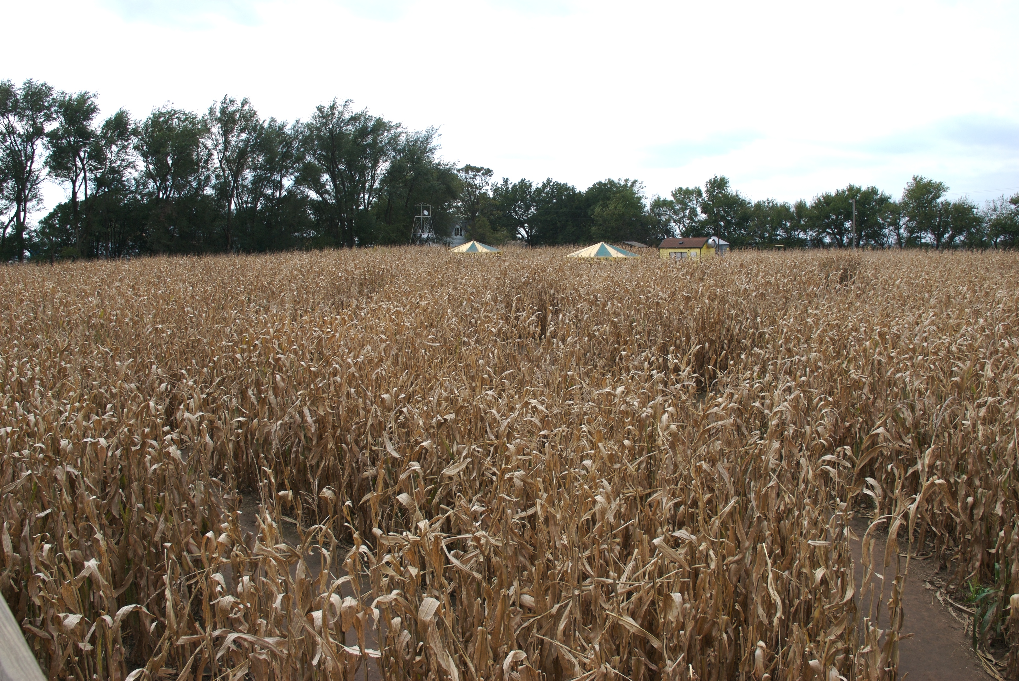
A look at the start
IMG_0797.jpg

Evening Sky

Kansas Sunset

Kansas sunset

backlit grasses

a "lake" at the campground
Google Burrton, Kansas.
Topographic Map of Alta, KS, USA
Find elevation by address:

Places in Alta, KS, USA:
Places near Alta, KS, USA:
Apache Road
4026 N River Park Rd
Burrton
N Sedgwick Ave, Burrton, KS, USA
Burrton
Halstead
Mound
Little River
Moundridge
Cole St, Moundridge, KS, USA
Buhler
Old U.S. 81, McPherson, KS, USA
King City
420 College St
Halstead
415 Walnut St
Pennsylvania St, McPherson, KS, USA
907 Main St
1303 Redbud Ct
Mcpherson County
Recent Searches:
- Elevation of Corso Fratelli Cairoli, 35, Macerata MC, Italy
- Elevation of Tallevast Rd, Sarasota, FL, USA
- Elevation of 4th St E, Sonoma, CA, USA
- Elevation of Black Hollow Rd, Pennsdale, PA, USA
- Elevation of Oakland Ave, Williamsport, PA, USA
- Elevation of Pedrógão Grande, Portugal
- Elevation of Klee Dr, Martinsburg, WV, USA
- Elevation of Via Roma, Pieranica CR, Italy
- Elevation of Tavkvetili Mountain, Georgia
- Elevation of Hartfords Bluff Cir, Mt Pleasant, SC, USA