Elevation of Buhler, KS, USA
Location: United States > Kansas > Reno County > Little River >
Longitude: -97.770047
Latitude: 38.1344546
Elevation: 449m / 1473feet
Barometric Pressure: 96KPa
Elevation Map:
Satellite Map:
Related Photos:

Rare View of SR-71 Blackbird in Cosmosphere Lobby

Rescue Handle and Fuselage Skin on SR-71

Hutchinson Sunset

Blackbird Cockpit and Engine Nacelle

Hutchinson Sunset

Hutchinson Sunset
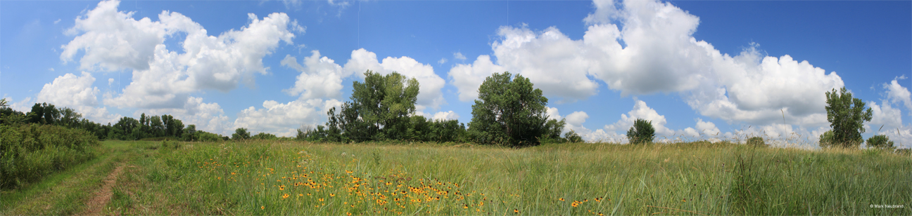
Prairie flowers at Sand Hill State Park
60412-20 Best View of Pond

Hutchinson Sunset
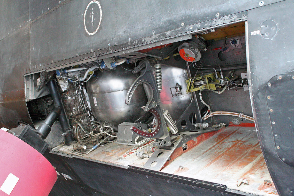
SR-71 Nose Gear Bay

Fair Crowd

Oldies & Goodies

Chan's Chicken on a Stick

Sugar Shack
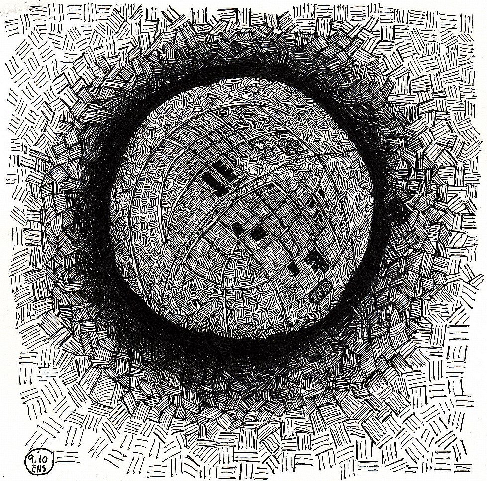
virgibacillus organism

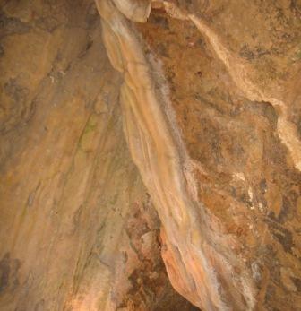
ceiling fall

Fisheye view of SR-71 Blackbird at Cosmosphere
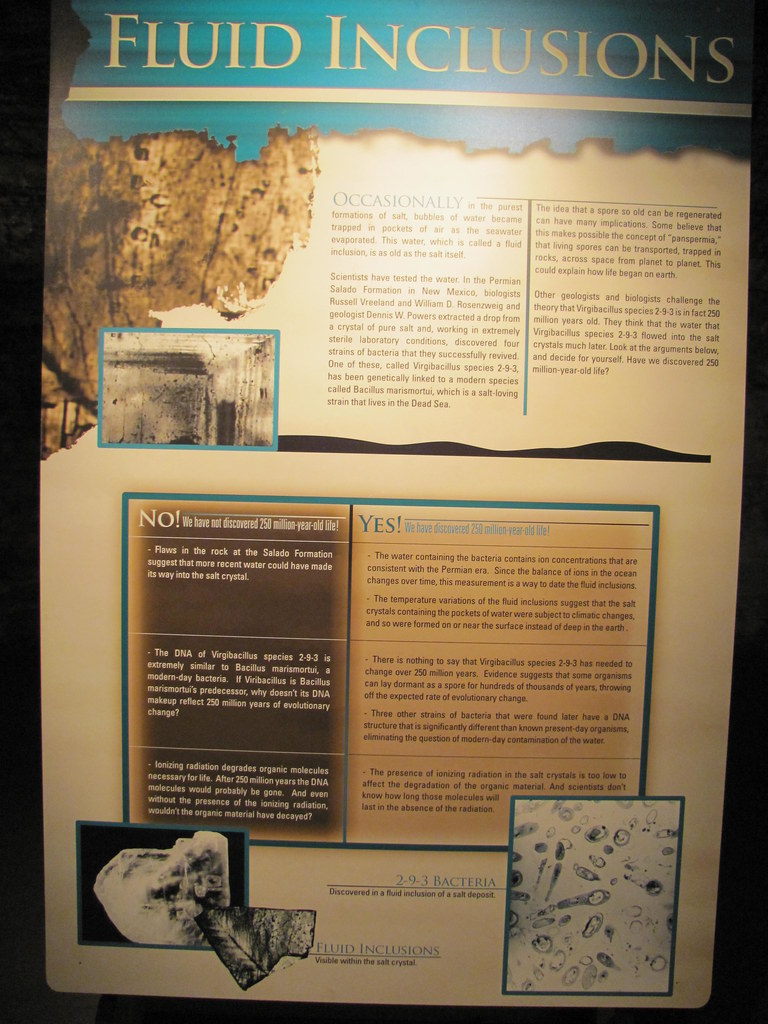
virgibacillus organism
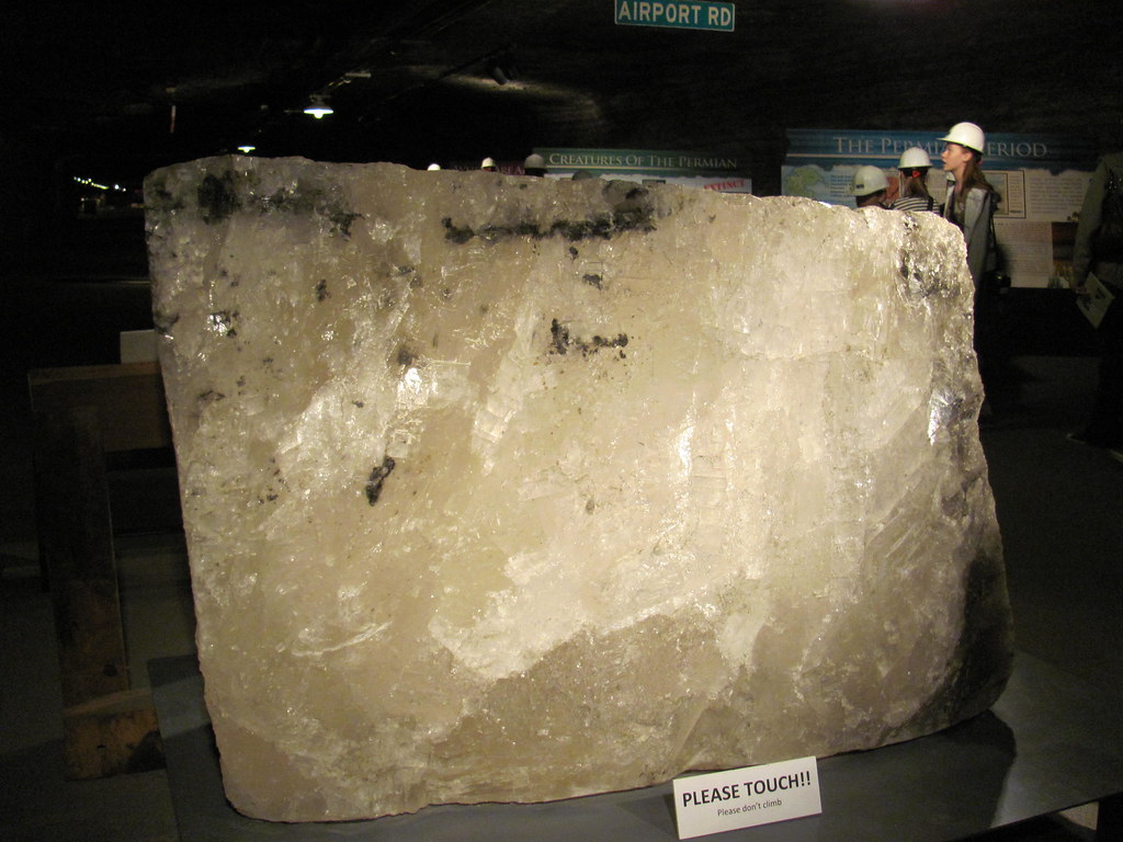
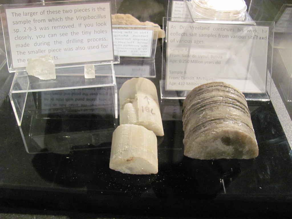
6,000 pound salt block
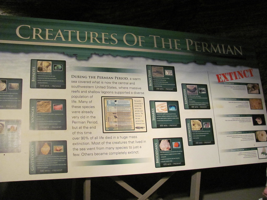
Creatures of the Permian
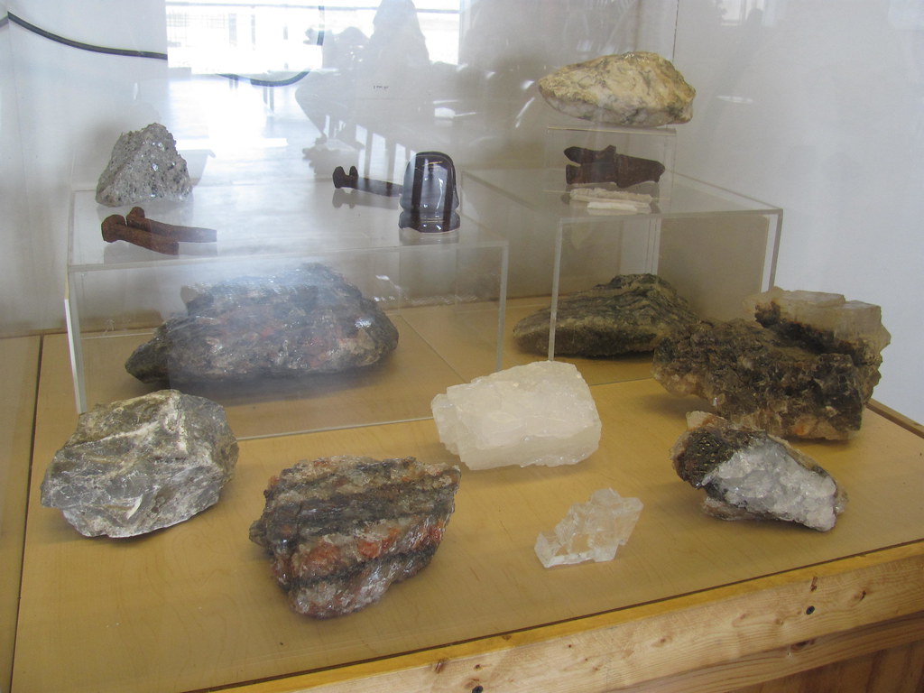
rock salt

Storm clouds loom over a wheat field.
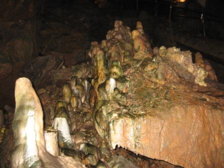
Phallic Rock

60412-22, Canoe & Small Boat Dock
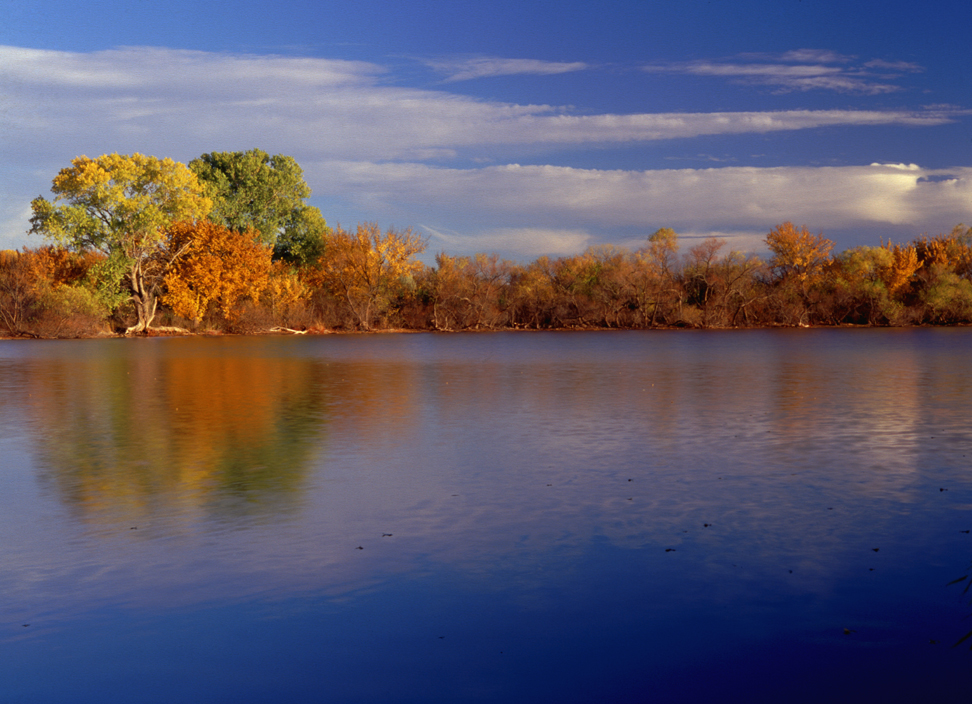
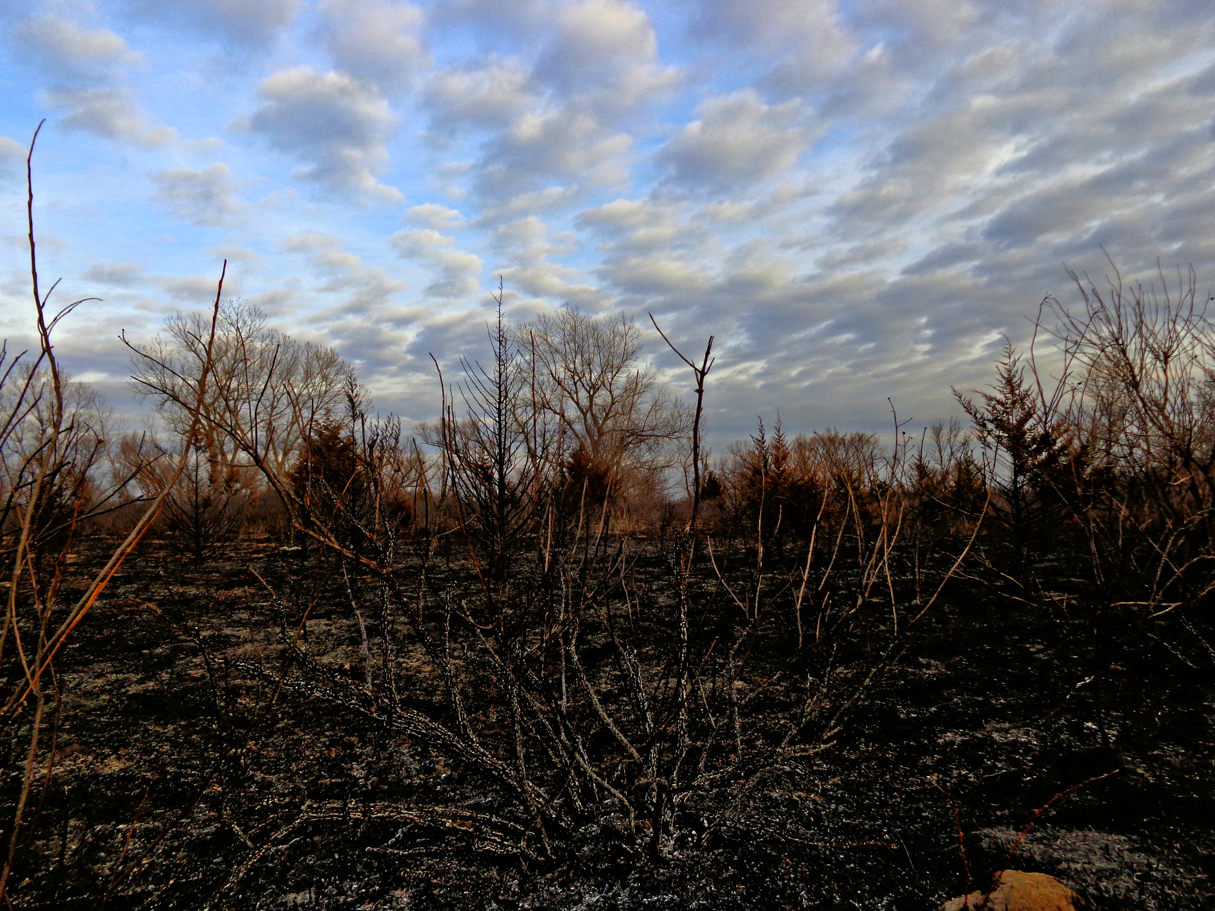
Fall Color 3

Wheat field

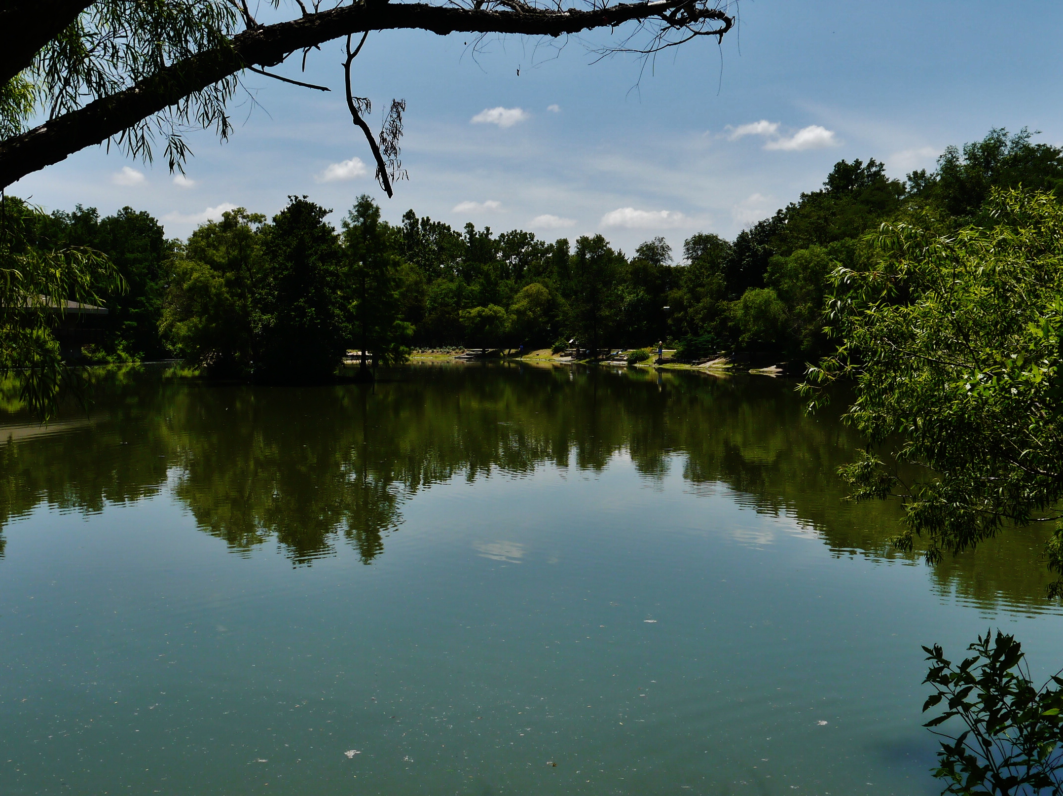
60412-11, Stagnant Lake at the Dillon Nature Center
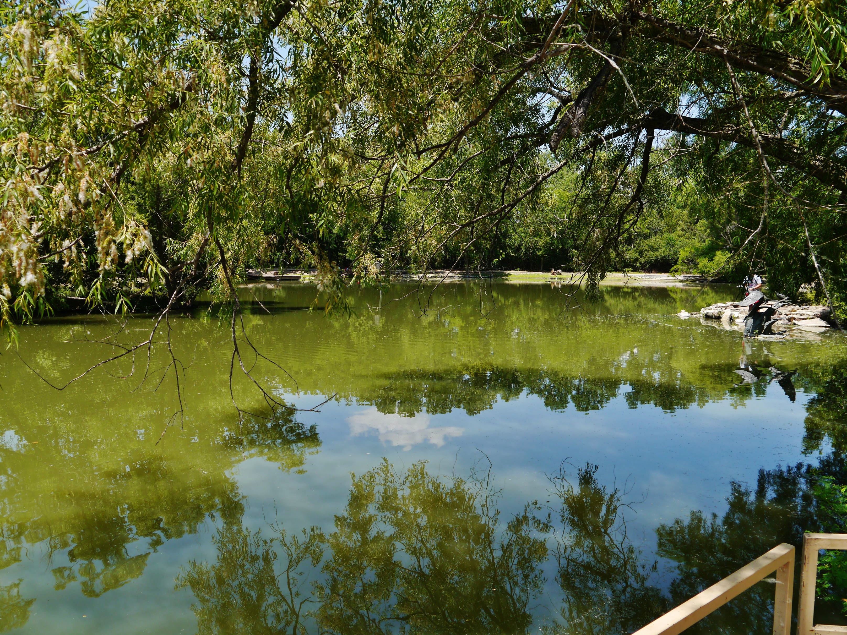
60412-13, Stagnant Pond

60412-21, Turtles On A Log
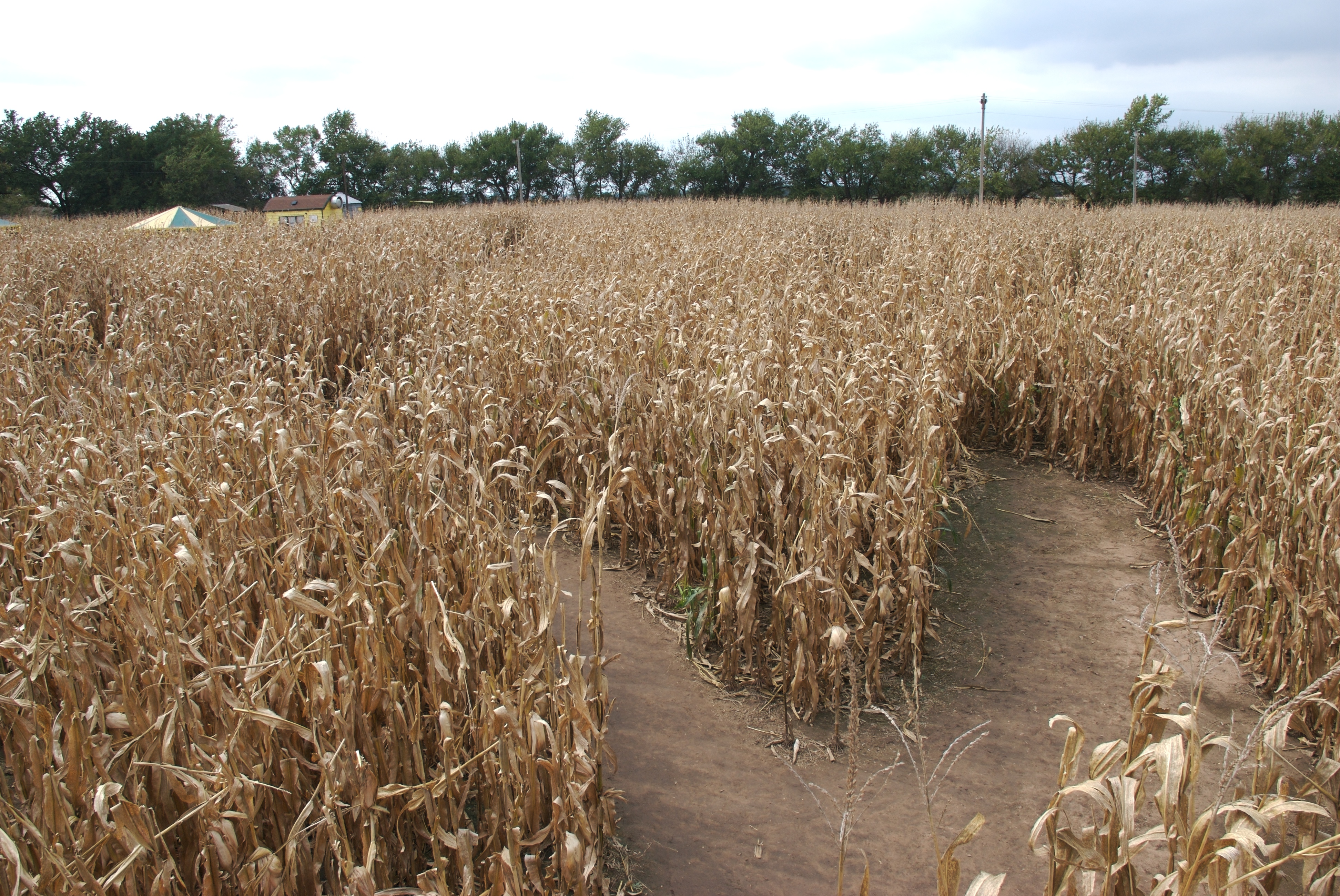
Corn maze from bridge
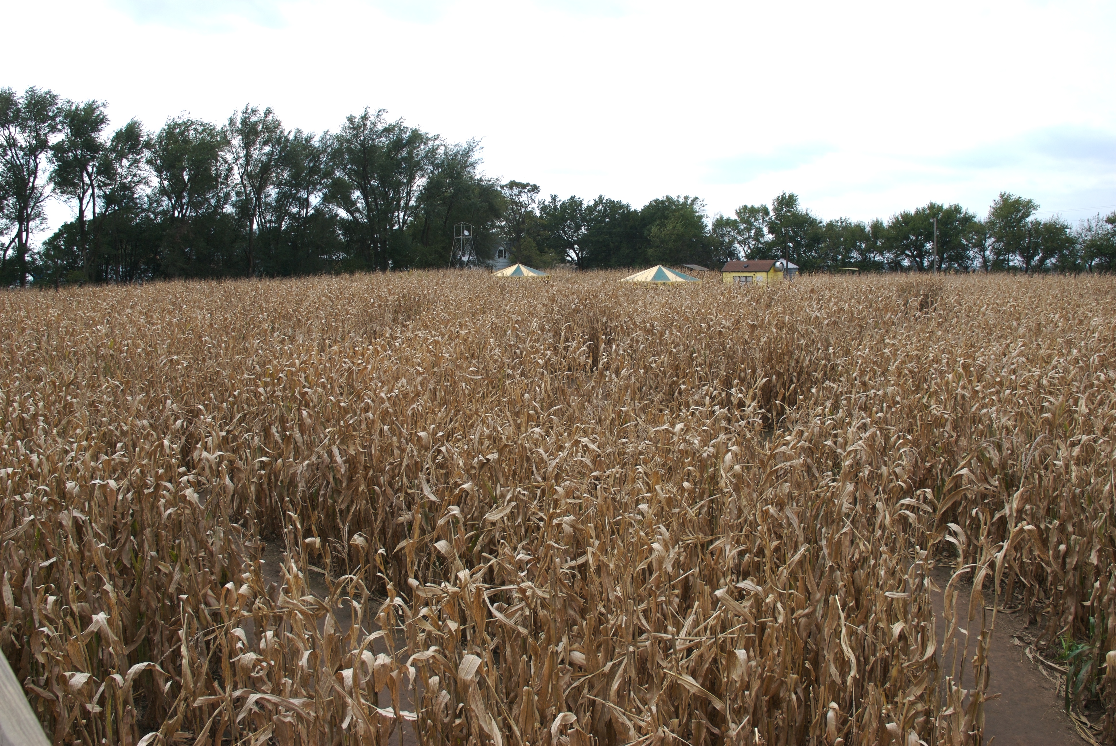
A look at the start
Google Burrton, Kansas.
Big rock?
Sandhills Park
Topographic Map of Buhler, KS, USA
Find elevation by address:

Places near Buhler, KS, USA:
Little River
Sandhills State Park
Hutchinson Muni Airport-hut
7908 N Lorraine St
Hutchinson Regional Medical Center
1701 E 23rd Ave
Hutchinson Clinic: Salahuddin Naveed Md
4151 N Lorraine St
Hutchinson Sports Arena
Hutchinson
3008 Princeton Dr
10 E Blanchard Ave, South Hutchinson, KS, USA
South Hutchinson
Willowbrook
63 Willowbrook Dr, Hutchinson, KS, USA
E Trail West Rd, Hutchinson, KS, USA
Reno
Nickerson Blvd, Hutchinson, KS, USA
Center
Recent Searches:
- Elevation of Corso Fratelli Cairoli, 35, Macerata MC, Italy
- Elevation of Tallevast Rd, Sarasota, FL, USA
- Elevation of 4th St E, Sonoma, CA, USA
- Elevation of Black Hollow Rd, Pennsdale, PA, USA
- Elevation of Oakland Ave, Williamsport, PA, USA
- Elevation of Pedrógão Grande, Portugal
- Elevation of Klee Dr, Martinsburg, WV, USA
- Elevation of Via Roma, Pieranica CR, Italy
- Elevation of Tavkvetili Mountain, Georgia
- Elevation of Hartfords Bluff Cir, Mt Pleasant, SC, USA