Elevation of McPherson, KS, USA
Location: United States > Kansas > Mcpherson County > King City >
Longitude: -97.664208
Latitude: 38.3708415
Elevation: 456m / 1496feet
Barometric Pressure: 96KPa
Elevation Map:
Satellite Map:
Related Photos:

'roid week 09 - day 2
'roid week 09 - day 5
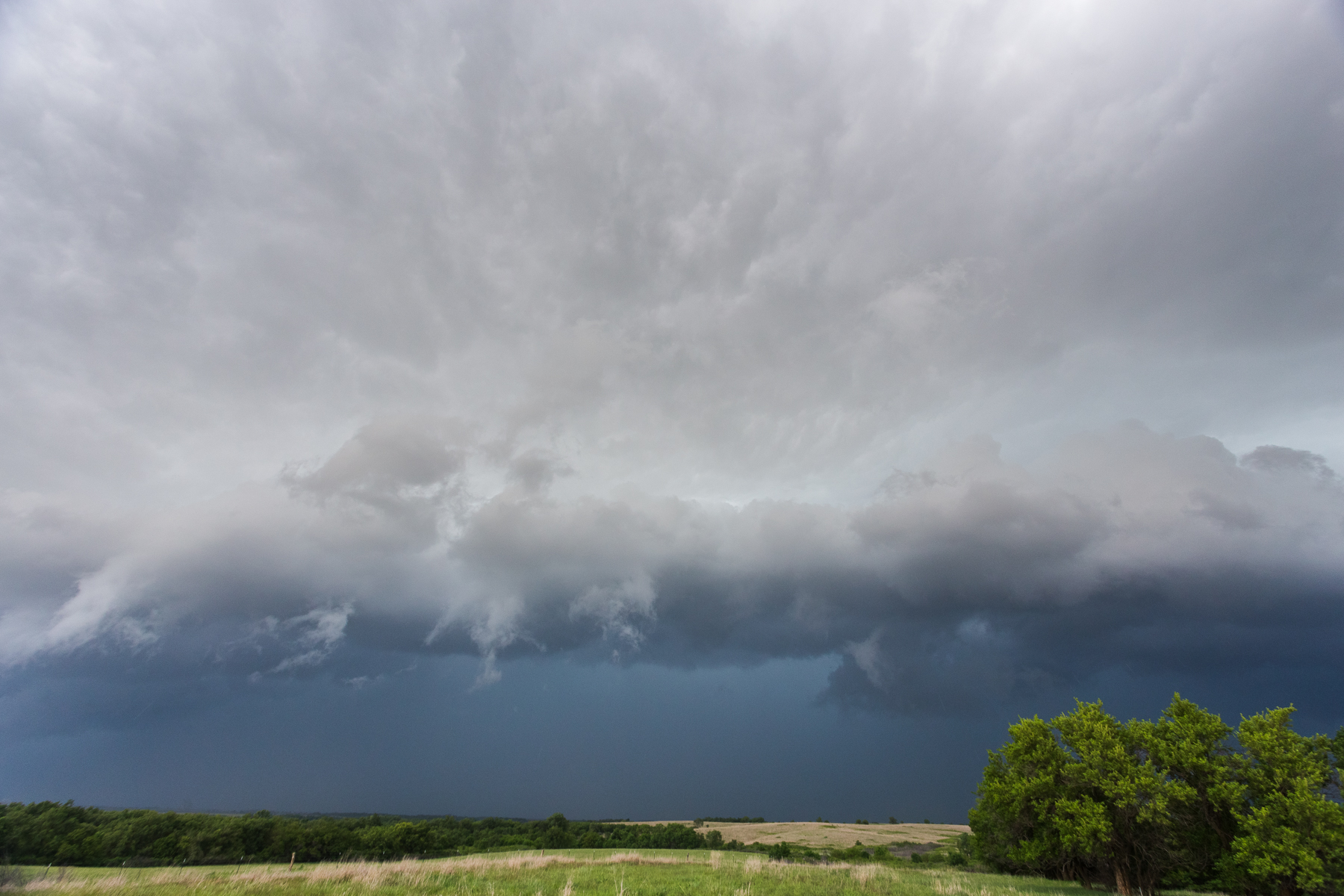
Oxford Storm 4

Brown eyed boy
Statue Closeup

Self 10/23/06 - Day 52 - TripletSelf

McPherson County Courthouse Clock Tower (McPherson, Kansas)
McPherson Water Park
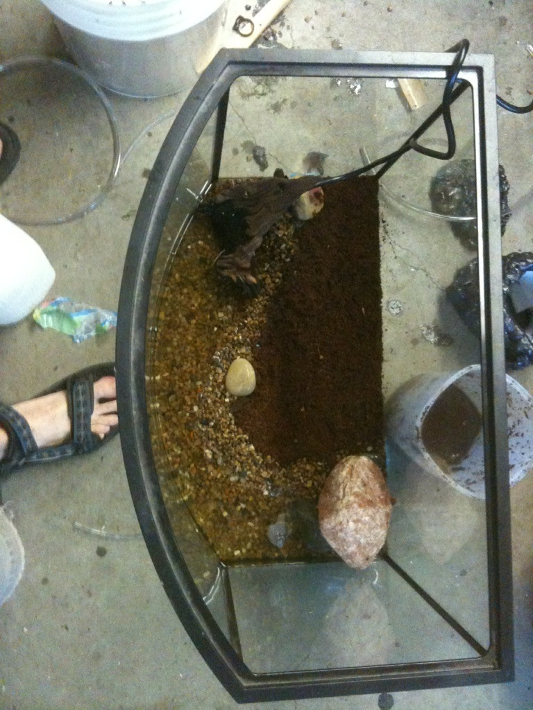
Terrarium build, top view finished.
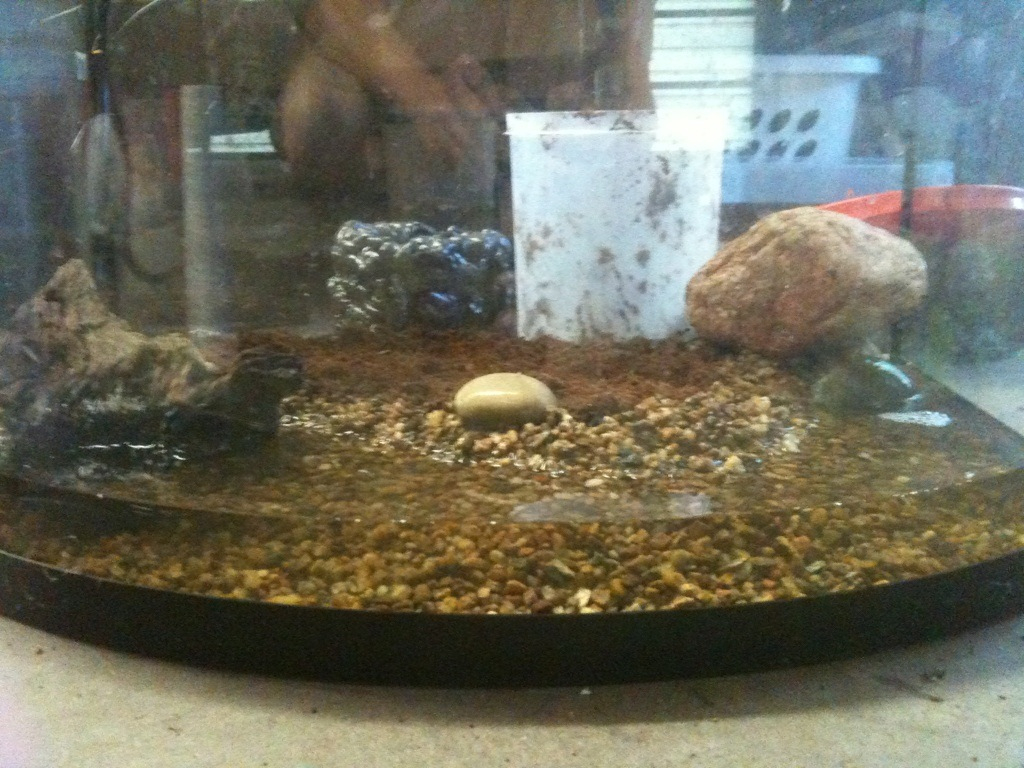
Terrarium build, front view finished.

Roadside Cattails
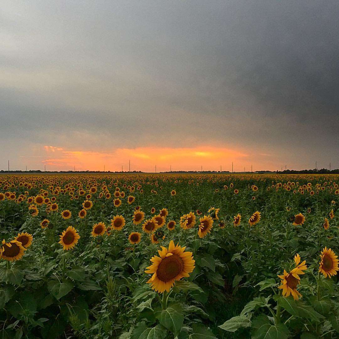
Sunset in Central KS #motopic
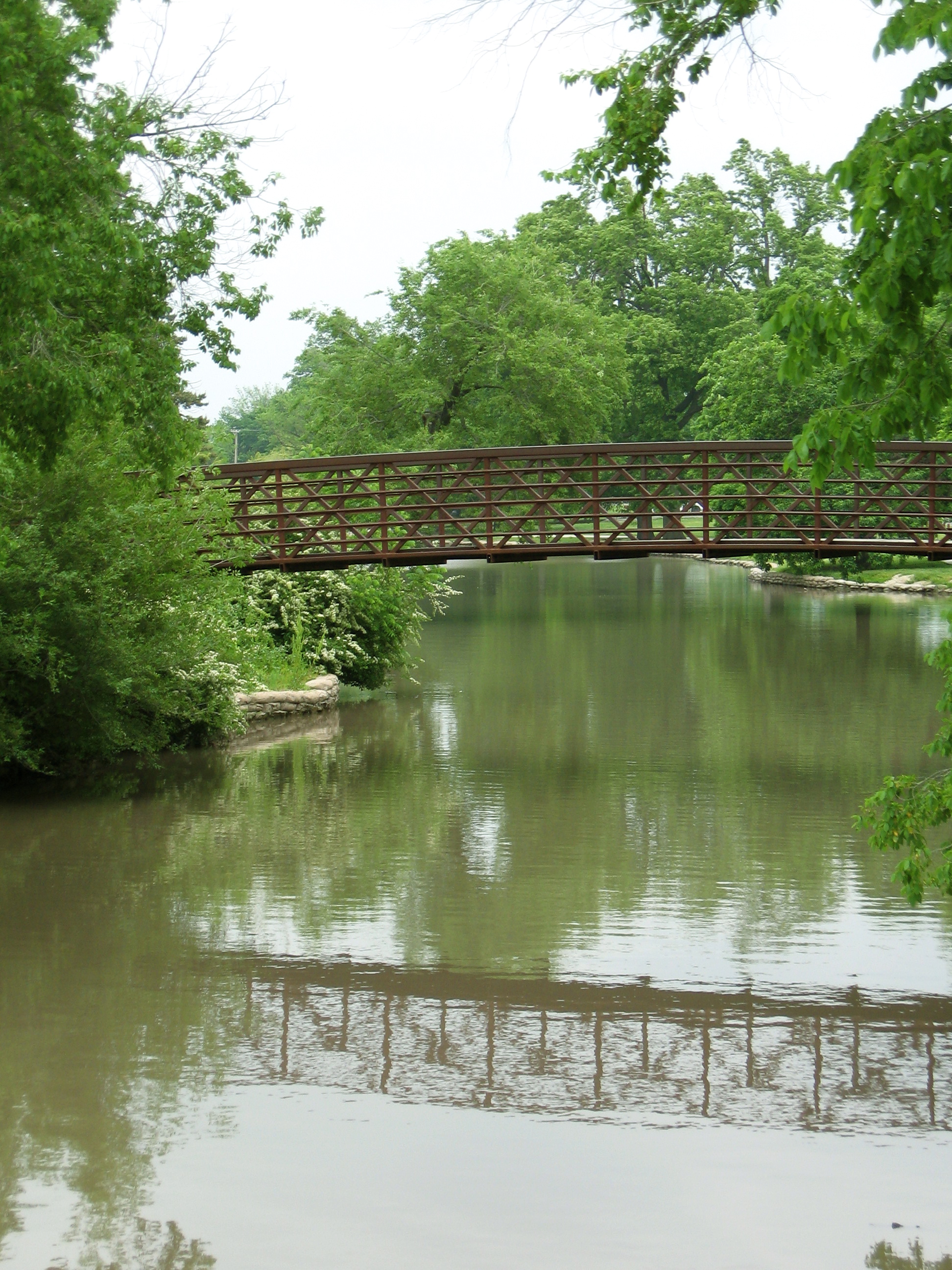
Bridge + its reflection
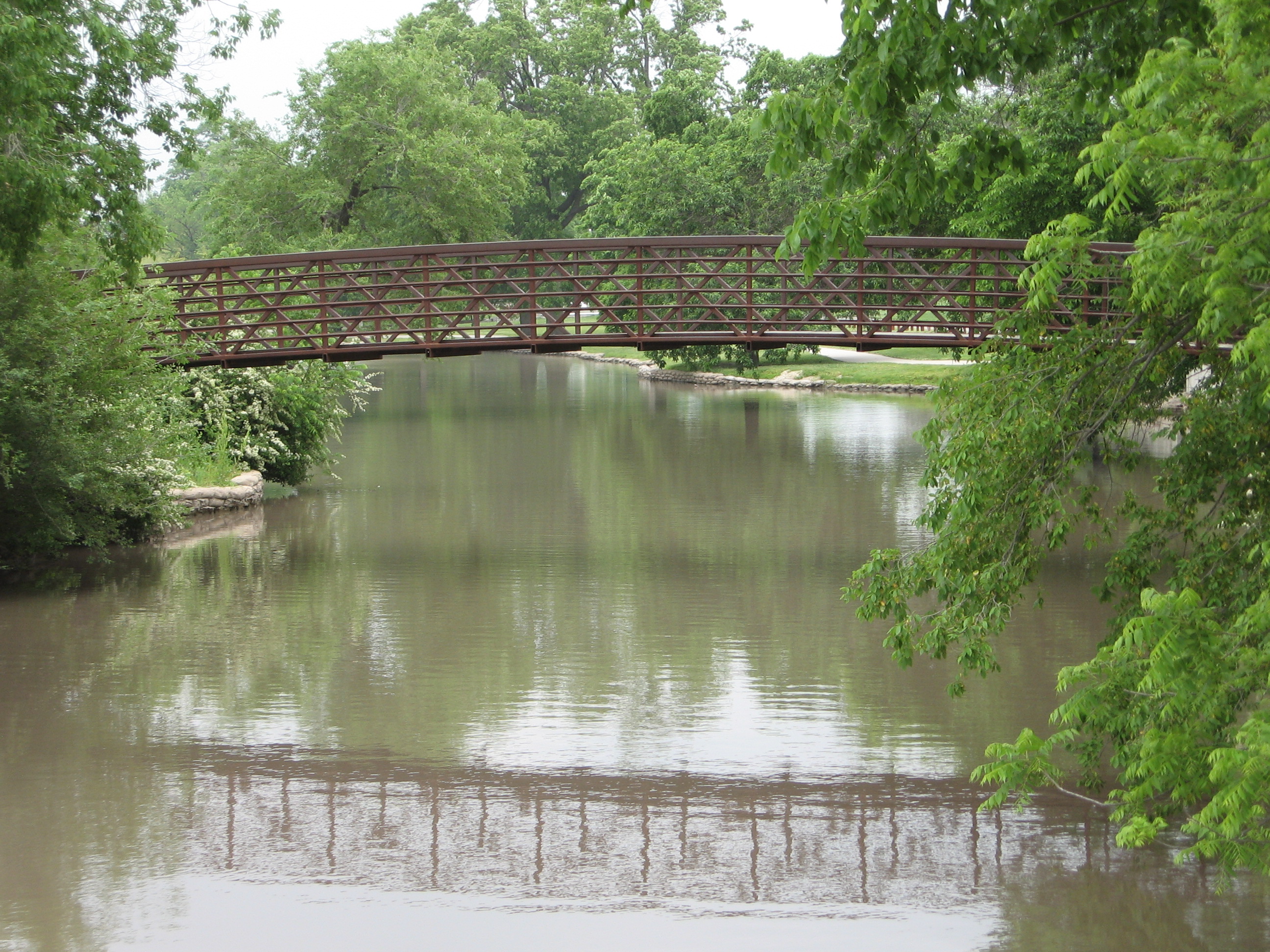
Bridge + its reflection

Country Lane

IMG_0810-HDR.jpg

IMG_0813-HDR.jpg
IMG_0801.jpg
Topographic Map of McPherson, KS, USA
Find elevation by address:

Places in McPherson, KS, USA:
Places near McPherson, KS, USA:
N Elm St, McPherson, KS, USA
2400 E Kansas Ave
Mcpherson County
Pathfinder Ln, McPherson, KS, USA
King City
Old U.S. 81, McPherson, KS, USA
New Gottland
Pawnee Rd, McPherson, KS, USA
Jackson
New Gottland
Pennsylvania St, McPherson, KS, USA
Empire
Quivira Rd, McPherson, KS, USA
US-56, McPherson, KS, USA
Galva
US-56, Galva, KS, USA
11th Ave, Lindsborg, KS, USA
Mound
Castle
202 Svensk Rd
Recent Searches:
- Elevation of Corso Fratelli Cairoli, 35, Macerata MC, Italy
- Elevation of Tallevast Rd, Sarasota, FL, USA
- Elevation of 4th St E, Sonoma, CA, USA
- Elevation of Black Hollow Rd, Pennsdale, PA, USA
- Elevation of Oakland Ave, Williamsport, PA, USA
- Elevation of Pedrógão Grande, Portugal
- Elevation of Klee Dr, Martinsburg, WV, USA
- Elevation of Via Roma, Pieranica CR, Italy
- Elevation of Tavkvetili Mountain, Georgia
- Elevation of Hartfords Bluff Cir, Mt Pleasant, SC, USA