Elevation of New Gottland, KS, USA
Location: United States > Kansas > Mcpherson County > New Gottland >

Longitude: -97.611427

Latitude: 38.4497297

Elevation: 467m / 1532feet

Barometric Pressure: 96KPa

Elevation Map:

elevation map of New Gottland, KS, USA
Satellite Map:

Satellite map of New Gottland, KS, USA

Related Photos:

wood red metal closeup truck grit polaroid chain 600 bolt slats roidweek09
'roid week 09 - day 2
green texture wall polaroid 600 roidweek09
'roid week 09 - day 5
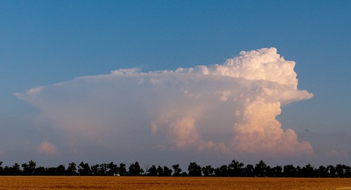
clouds kansas thunderstorm thunderstorms mcphersoncounty
Oxford Storm 4
man male me face self james eyes photographer tear selectivecolor selportrait slm i utatafeature 365reject sicklittlemonkey flickr:userid=53087193n00
Brown eyed boy
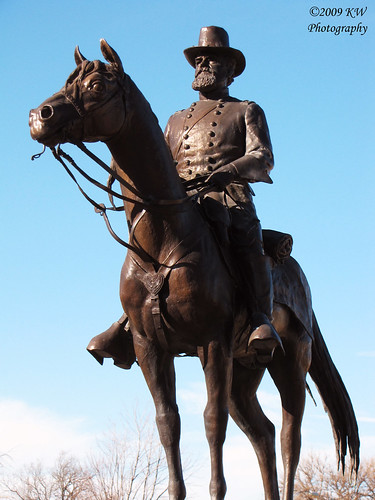
statues kansas mcpherson usccksmcpherson mcphersoncountycourthouse generaljamesbirdseyemcpherson statuecloseup
Statue Closeup
selfportrait man male me face self james photographer triplet year1 slm minichallenge fromlefttoright 365days i themoreilookatthis themoreitlookslike imjustgettingfatter sicklittlemonkey flickr:userid=53087193n00
Self 10/23/06 - Day 52 - TripletSelf
ks kansas mcpherson mcphersoncounty johnghaskell courthouseextras
McPherson County Courthouse Clock Tower (McPherson, Kansas)
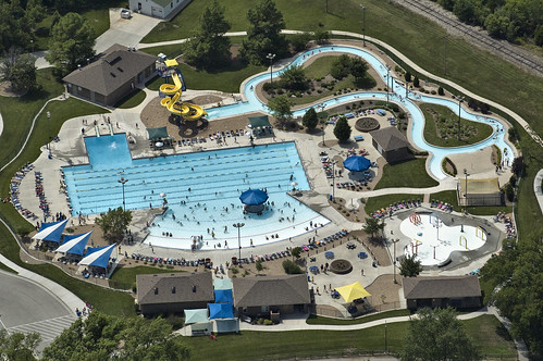
summer water pool swimming ks slide aerial kansas mcpherson 67460
McPherson Water Park
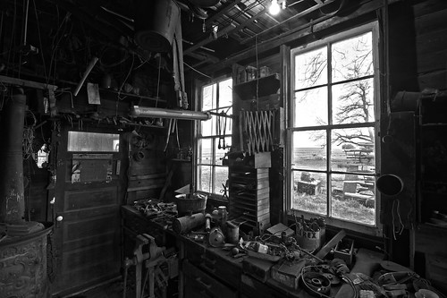
monochrome interior hdr clutter
Cluttered room with a less colorful view
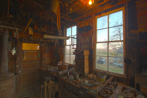
interior hdr clutter
Cluttered room with a view
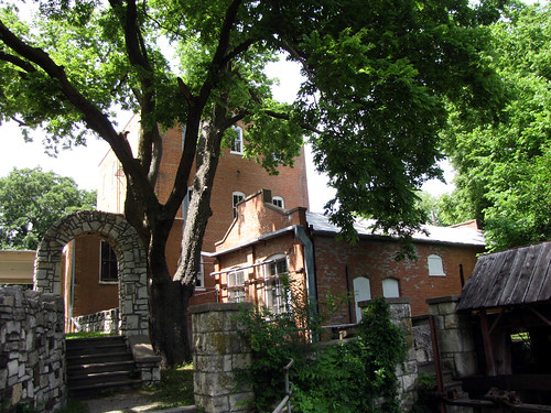
kansas rearview museums lindsborg nationalregister smokyvalleyrollermill mcphersoncountyoldmillmuseum nr72001451
Rear View
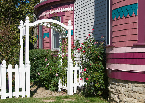
kansas lindsborg architecturaldetails
At the Rosberg B&B ~ Lindsborg, Kansas
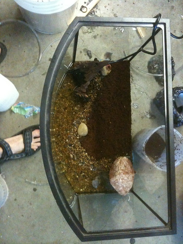
Terrarium build, top view finished.
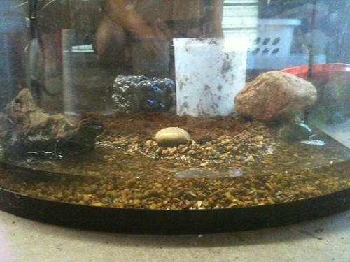
Terrarium build, front view finished.
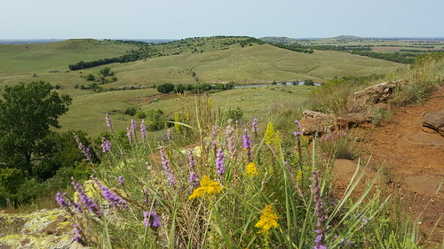
wildflowers sunnyday flinthills scenicview coronadoheights
On a Clear Day...
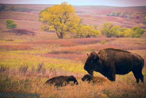
unitedstates kansas canton
Buffalo and two calves in storm on the Maxwell Reserve
2009
Roadside Cattails
unitedstates kansas canton
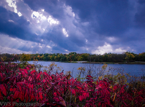
Miracle Rays and fall colors on Maxwell Lake
sunset usa ks kansas lindsborg
Lindsborg Sunset 2
sunset 2006 kansas lindsborg
Kansas Sunset 2006
weather day cloudy bikeride meadowlarktrail rurallindsborg
meadowlark-trail-nov13-14
sunset 2006 kansas lindsborg
Clouds Above Lindsborg 2006
sunset 2006 kansas lindsborg
Kansas Sunset Take 2
bikeriding rurallindsborg
bike-riding-june2012-9
2009
Yellow & Red
unitedstates kansas gypsum
StoneAlaBean in storm on the Maxwell Reserve
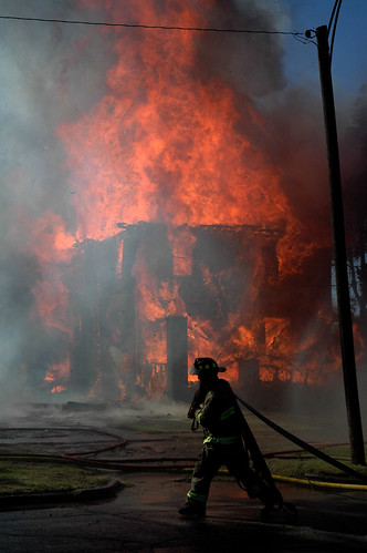
house fire ks burn kansas vote 9to5 firefighter mcpherson fd 67460 jpegmagcom
More begging for votes :oD
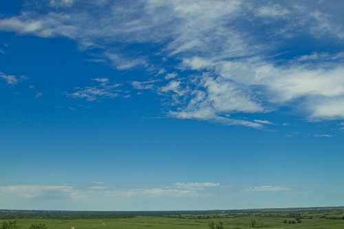
summer sky landscape wildlife maxwell prairie refuge
A Prairie Vista
Kansas Prairie Trail - 11
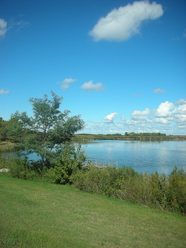
nikond90 naturesgreenpeace nikon70300mmvrkansas
Maxwell Wildlife Refuge
Kansas Prairie Trail - 10
weather day cloudy 30daysofbiking
30-days-of-biking-fl-8
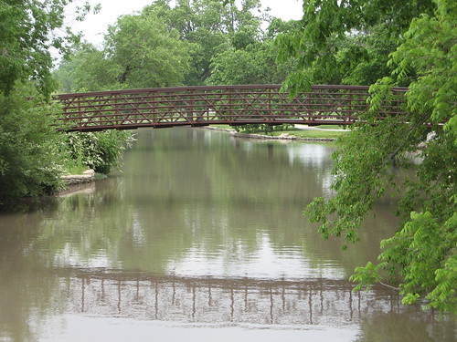
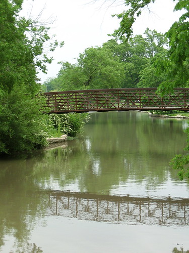
Bridge + its reflection
square squareformat iphoneography instagramapp uploaded:by=instagram
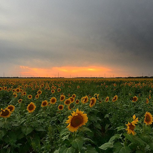
Sunset in Central KS #motopic
unitedstates kansas bikeriding lindsborg
bike-ride-may12-14