Elevation of OH-, Vincent, OH, USA
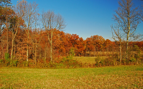
Location: United States > Ohio > Washington County > Palmer Township >

Longitude: -81.683903

Latitude: 39.457684

Elevation: 234m / 768feet

Barometric Pressure: 99KPa

Elevation Map:

elevation map of OH-, Vincent, OH, USA
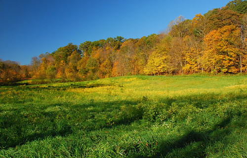
Satellite Map:

Satellite map of OH-, Vincent, OH, USA
Related Photos:

birds insurance malecardinal gieco
I Could Save How Much by Switching to Geico
snowstorm snowfall wintersnow snowacape
It's Here
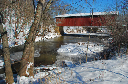
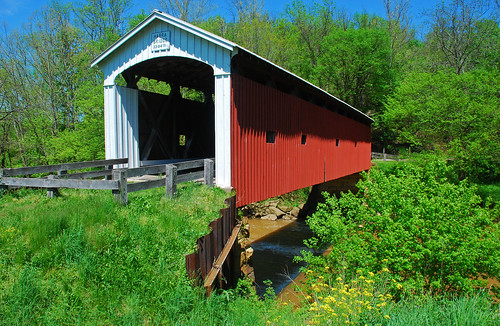
winter ohio snow landscape coveredbridge barlow snowscape burnettroad millbranchcoveredbridge
Mill Branch Covered Bridge
macro insect bees wasps paperwasps socialinsects macrolife amazingstructure
Ok Thats Close Enough
flowers ohio may phlox 2009 washingtoncounty canon24105l
Flowers by Mill Branch Bridge
autumn fall leaves landscape day fallcolor clear tornesroad
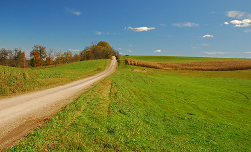
Road to the Sky
winter snowfall wintersnow snowscape winterscape
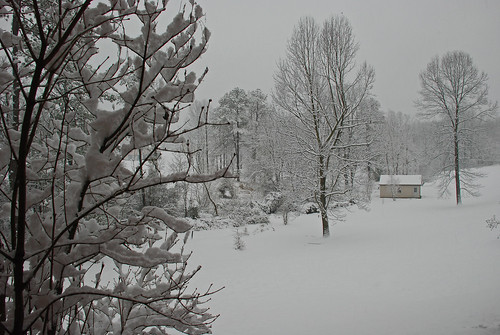
Late December Snow
autumn fall colors leaves churchtown mariettaohio warrenchapelroad
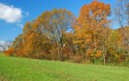
Warren Chapel Road Fall Landscape
ohio landscape spring churchtown abandonedfarm christyroad
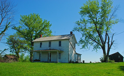
Christy Road Spring Landscape
ohio painting 1830s washingtoncounty waterfordtownship ohioartthrough1865 wolfcreekmills
View of Mill at Wolf Creek near Muskingum River
fall oct churchtown falllandscape
Red Fox Road
autumn fall colors leaves churchtown mariettaohio warrenchapelroad
Warren Chapel Road Fall Landscape
Veto Lake (aged)
autumn fall leaves landscape fallcolor tornesroad
Tornes Road Fall Landscape
ohio wolfcreek 1878 washingtoncounty harracoveredbridge rollamarydith camphervidaroad
Harra Covered Bridge Winter View
autumn fall colors leaves churchtown mariettaohio warrenchapelroad
Warren Chapel Road Fall Landscape
ohio wolfcreek 1878 washingtoncounty harracoveredbridge rollamarydith camphervidaroad
Harra Covered Bridge Spring View
ohio wolfcreek 1878 washingtoncounty harracoveredbridge rollamarydith camphervidaroad
Harra Covered Bridge Spring View
autumn fall colors leaves churchtown mariettaohio warrenchapelroad
Warren Chapel Road Fall Landscape
ohio wolfcreek 1878 washingtoncounty harracoveredbridge rollamarydith camphervidaroad
Harra Covered Bridge Winter View
winter snow macro firstsnow mybackyard grassstem
First Snow
nature walk naturetrail mariettaohio
Nature Trail
ohio landscape spring churchtown olynnroad
May Landscape
november autumn leaves fallcolor
Late Fall Color in Churchtown Ohio
november autumn leaves fallcolor
Late Fall Color in Churchtown Ohio
autumn landscape christyroad
Autumn Landscape
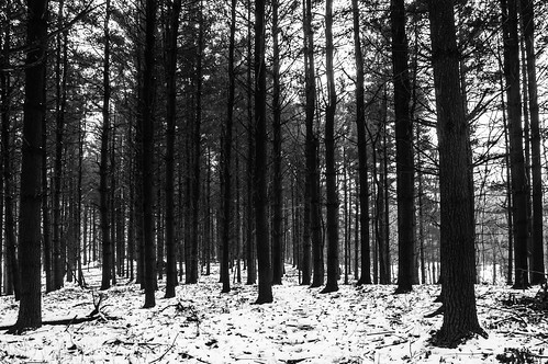
Pine forest at Boord State Nature Preserve
autumn landscape christyroad
Autumn Landscape
autumn fallcolor churchtown lanndscape
Churchtown Fall Landscape
autumn ohio fall leaves landscape fallcolors lancasterave churchtownohio
Churchtown Fall Landscapes
autumn color all churchtown christyroad olinnroad
Olinn Road Fall Landscape
ohio fall landscape churchtown
Fall Landscape
county ohio sunrise washington nikon d90
Morning has Broken
ohio fallcolor autumncolors marietta churchtown falllandscape churchtownohio rummerroad
Rummer Road fall Colors
november autumn leaves fallcolor
Late Fall Color in Churchtown Ohio
autumn ohio color fall churchtown mariettaohio falllandscape
Churchtown Fall Landscape
ohio usa washingtoncounty muskingumriverparkwaystatepark lukechute lukechutelockdam5
Luke Chute Lock & Dam #5
autumn ohio fall rural landscape marietta lowell countryroads rainbowroad langridgeroad
Lang Ridge Road Fall Landscape
macro butterfly redspottedpurple july2010 rauchroad
Red Spotted Purple Butterfly