Elevation of 1st St, Vincent, OH, USA
Location: United States > Ohio > Washington County > Barlow Township > Vincent >
Longitude: -81.669334
Latitude: 39.375227
Elevation: 233m / 764feet
Barometric Pressure: 99KPa
Elevation Map:
Satellite Map:
Related Photos:

wade senior portrait 4

wade train tracks 1
Downtown Parkersburg at sunset as viewed from Ft. Boreman
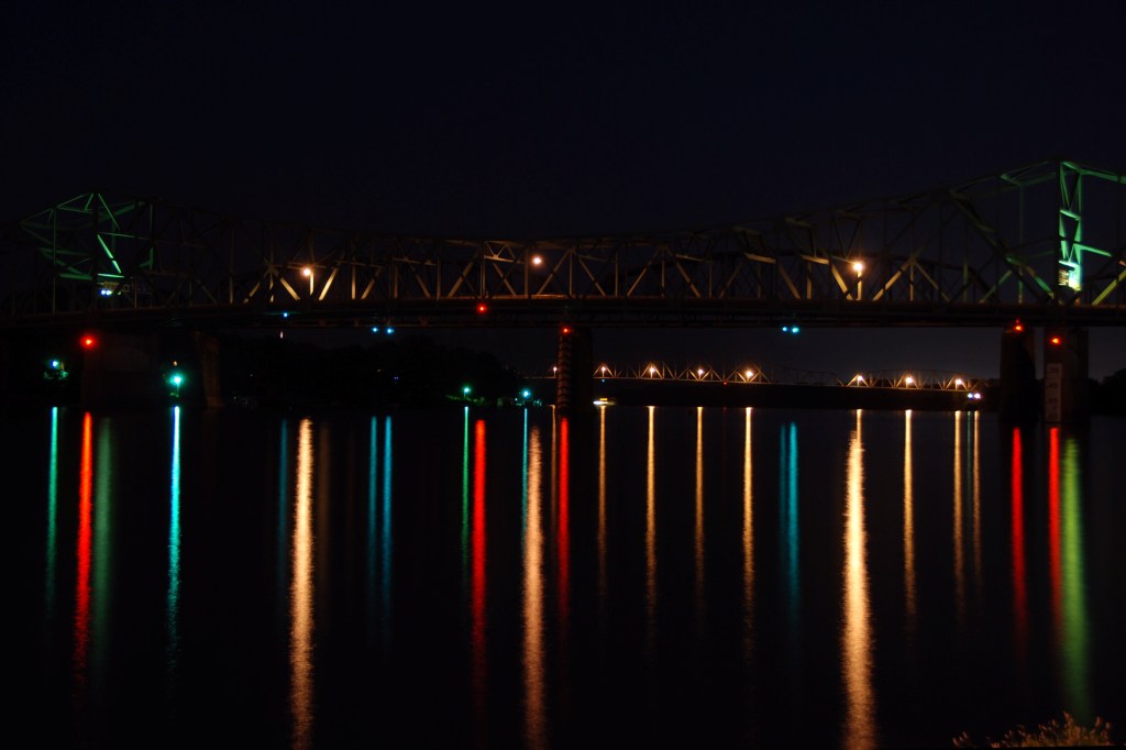
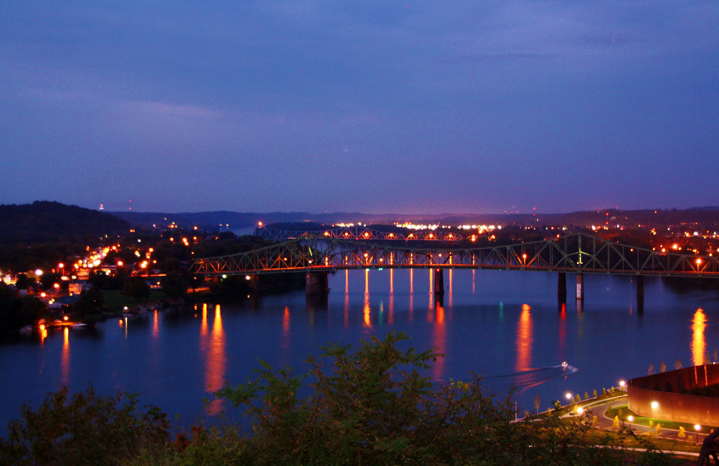
Parkersburg-Belpre Bridge at Night II
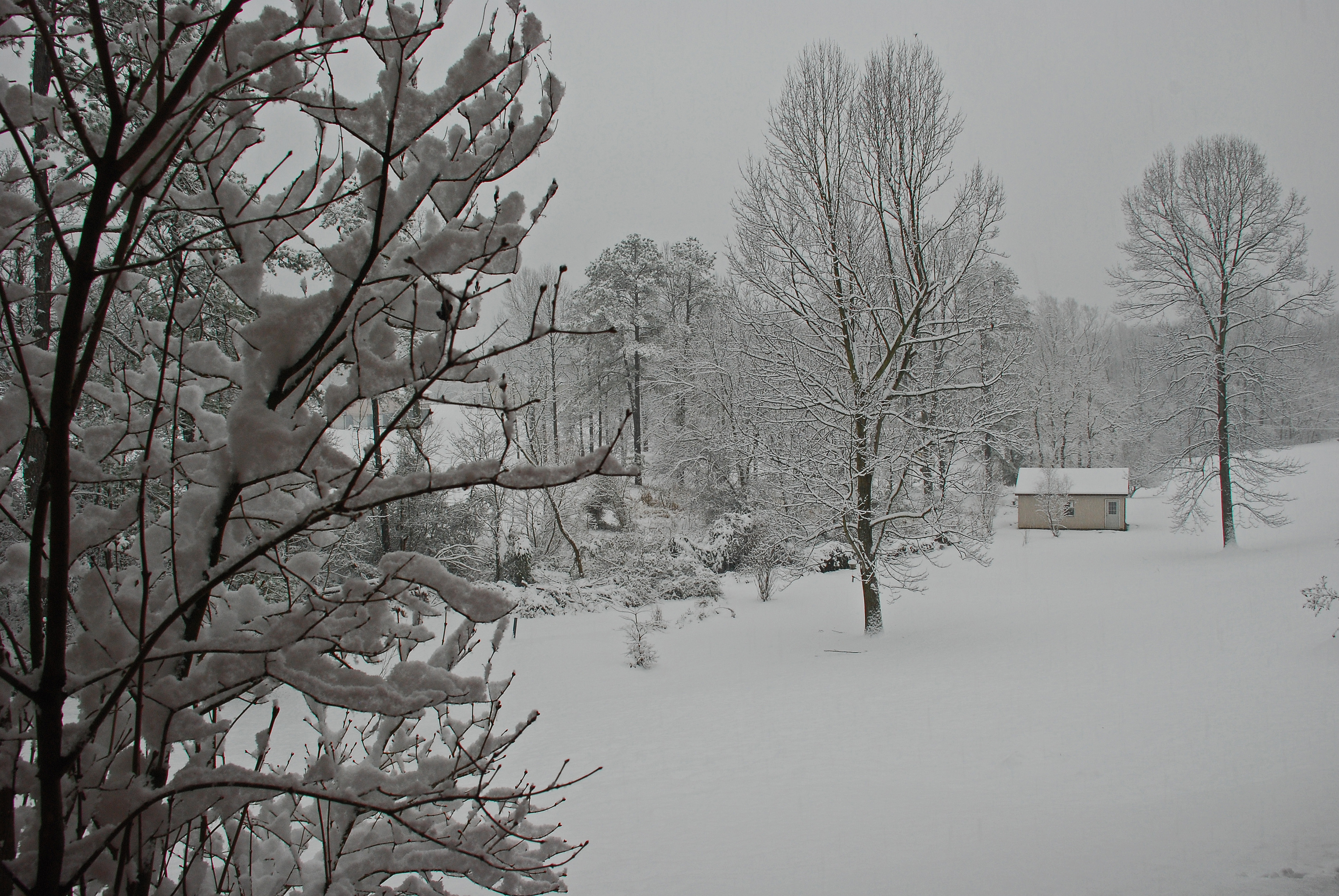
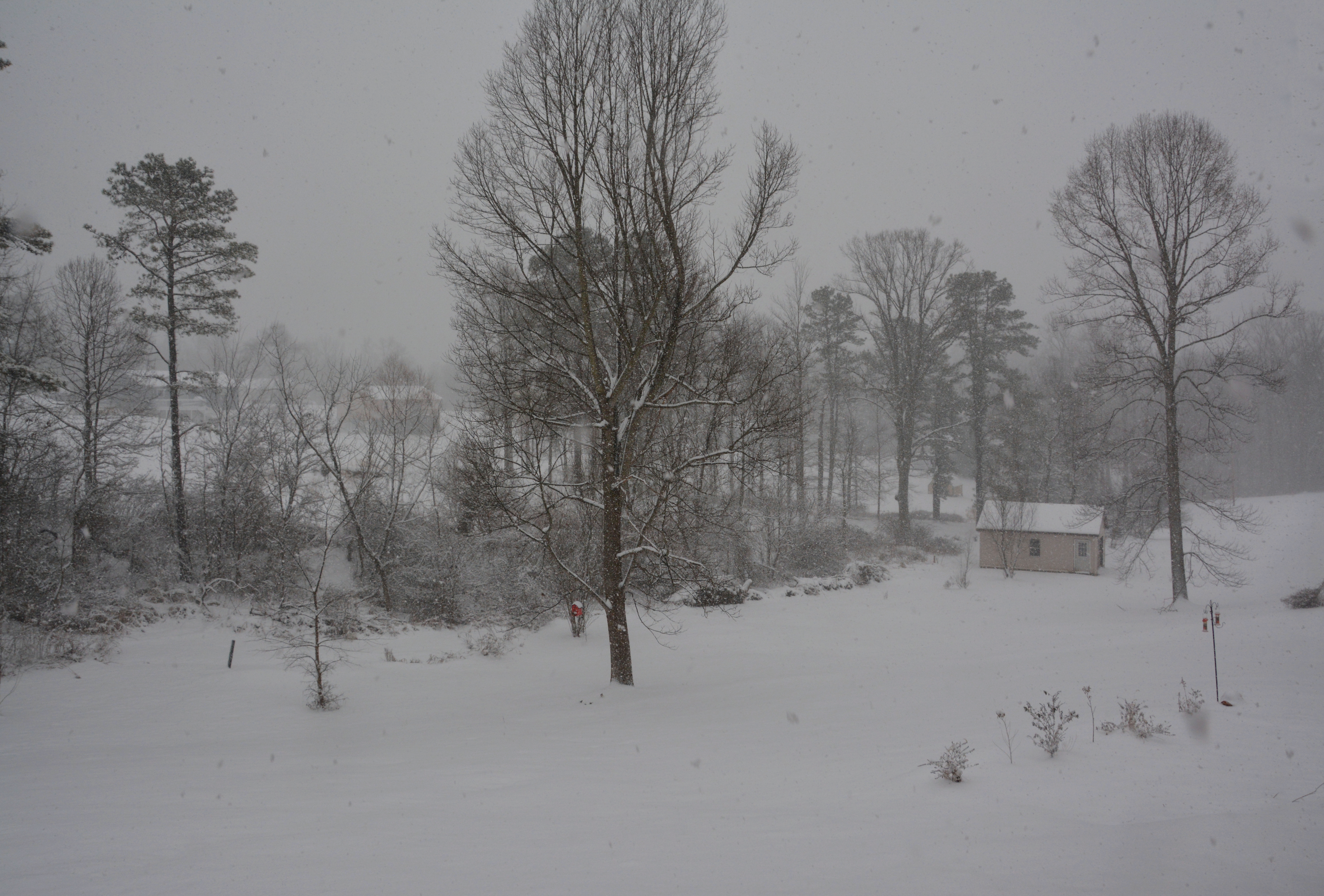
Late December Snow

wade at sunset 1
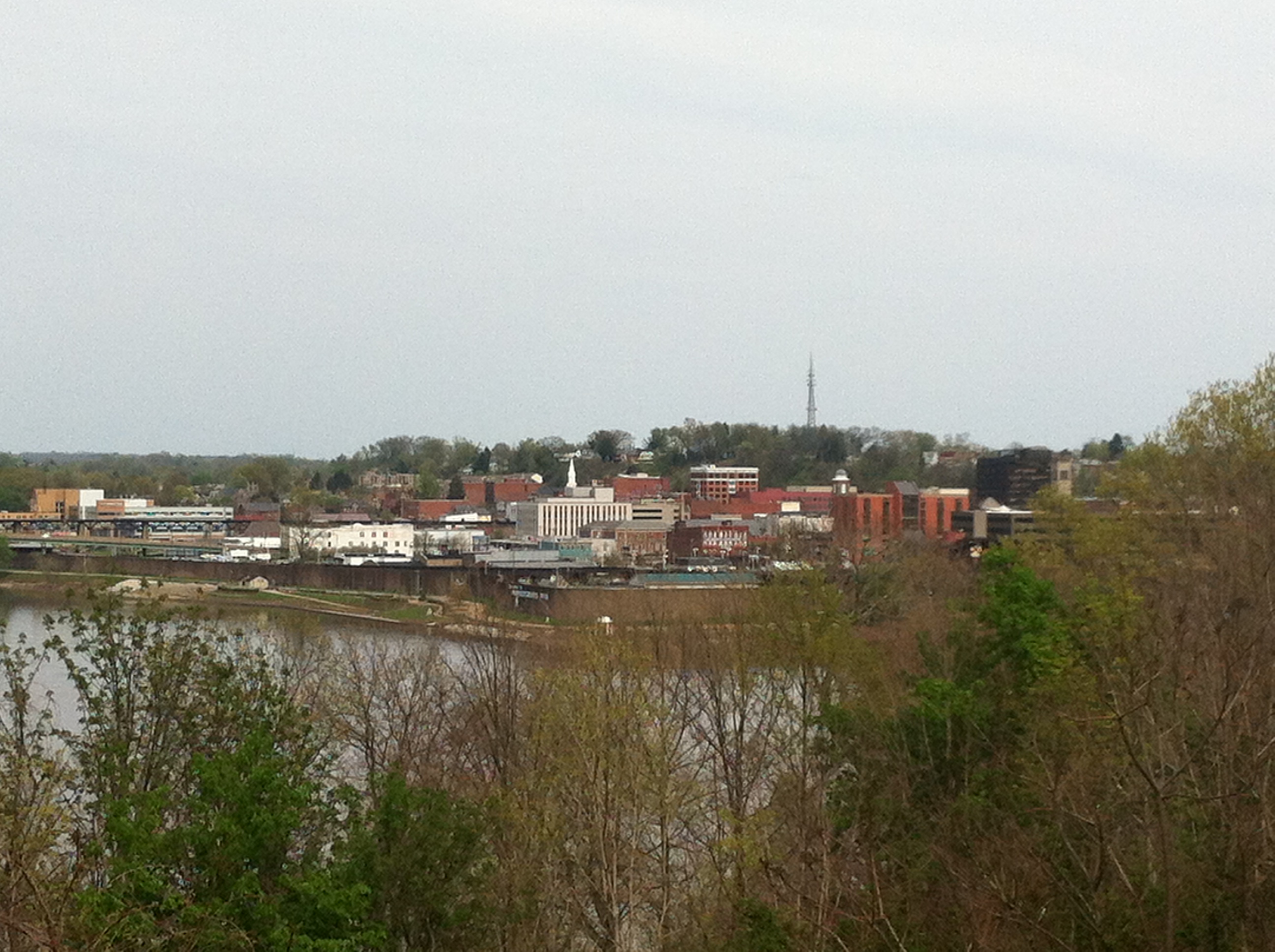
Downtown Parkersburg, WV
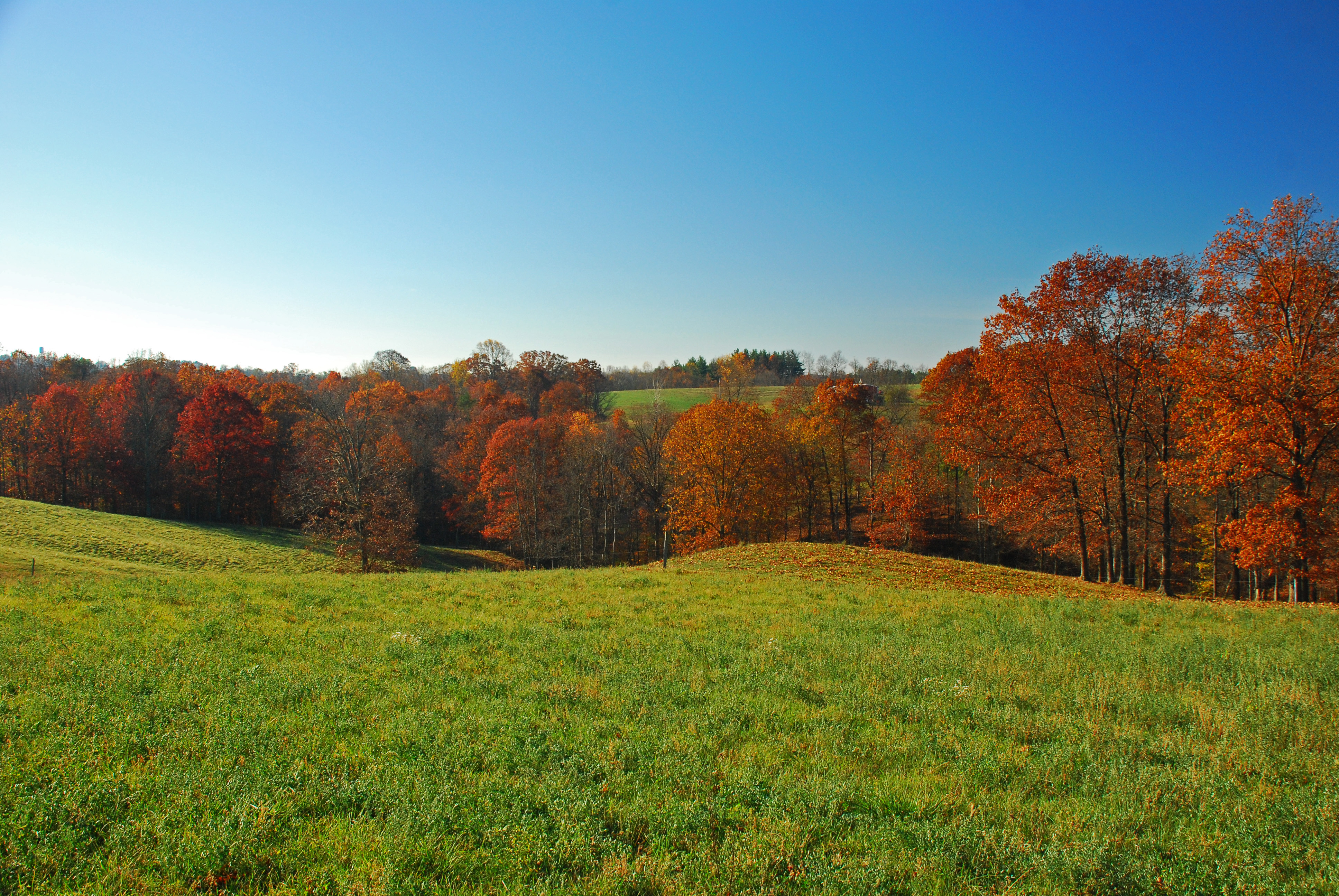
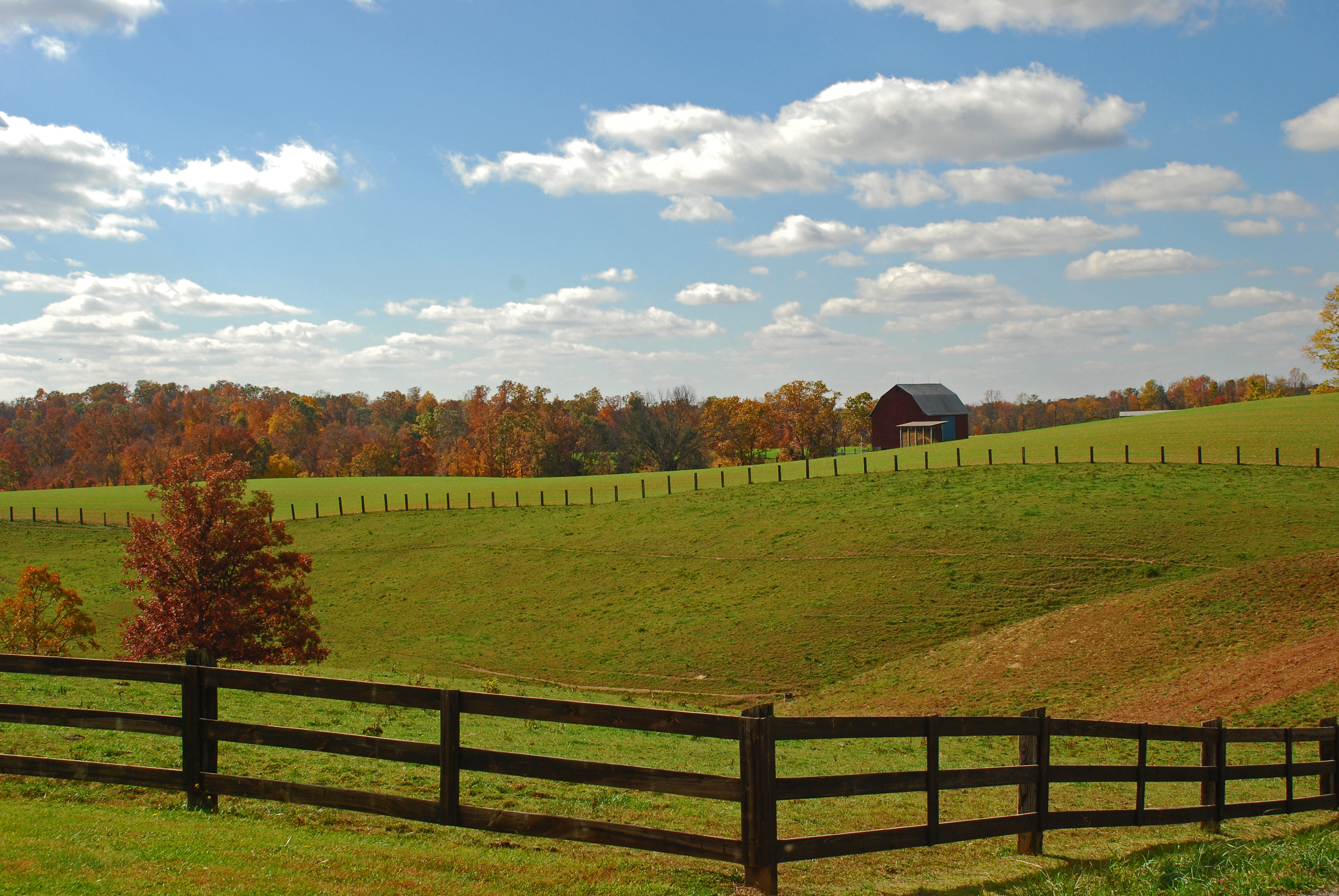
Warren Chapel Road Fall Landscape
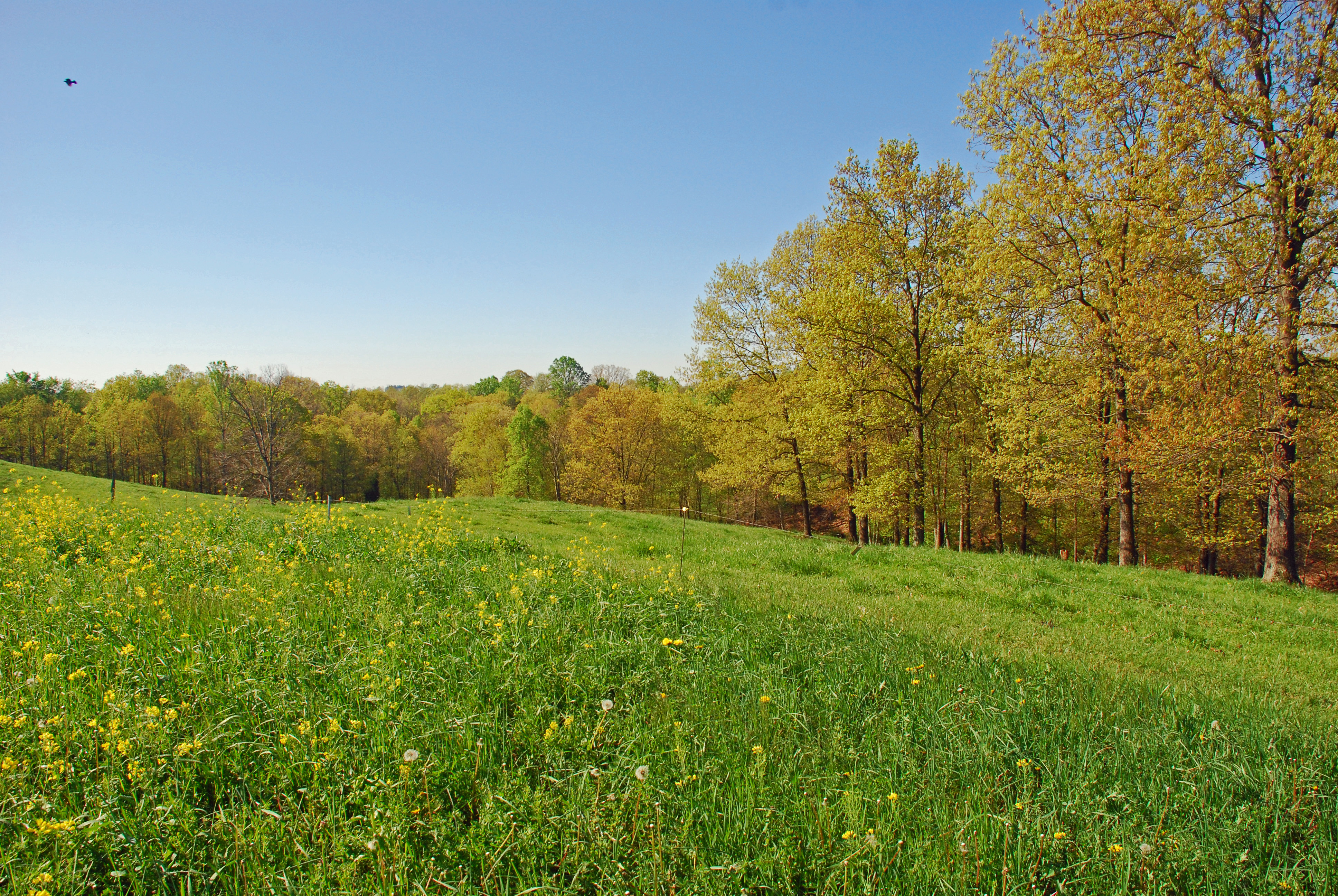
Christy Road Spring Landscape
panorama - point park1

Warren Chapel Road Fall Landscape

Sunset on the Ohio River
Veto Lake (aged)
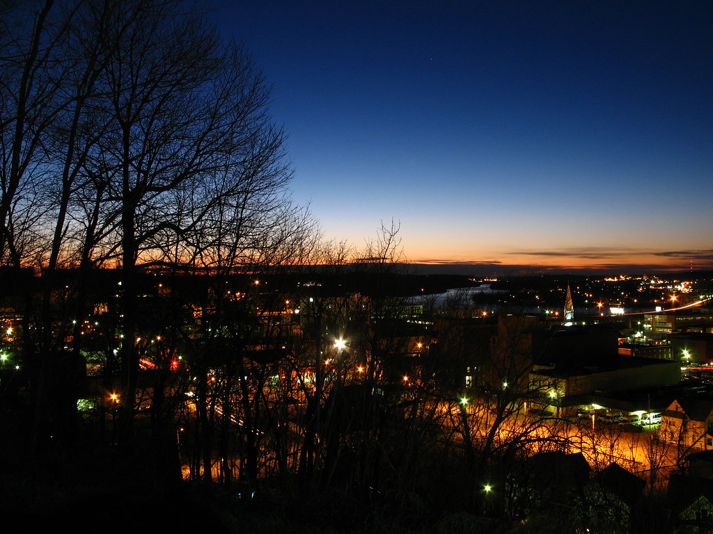
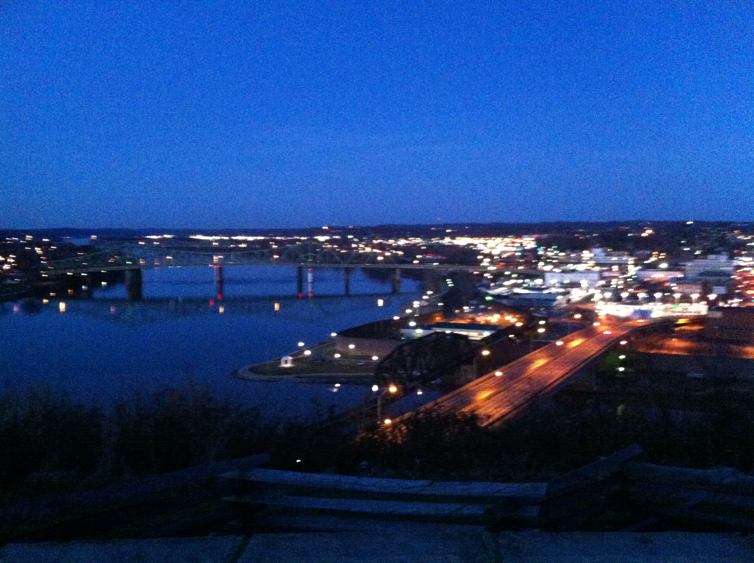
Overlooking Parkersburg at Night.

I Could Save How Much by Switching to Geico
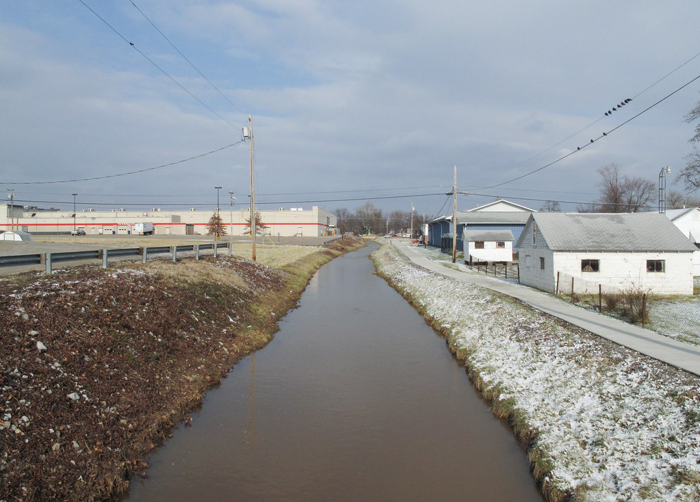
Now the stream known as "Pond Run" lays itself down among some faint wintertime sunshine.
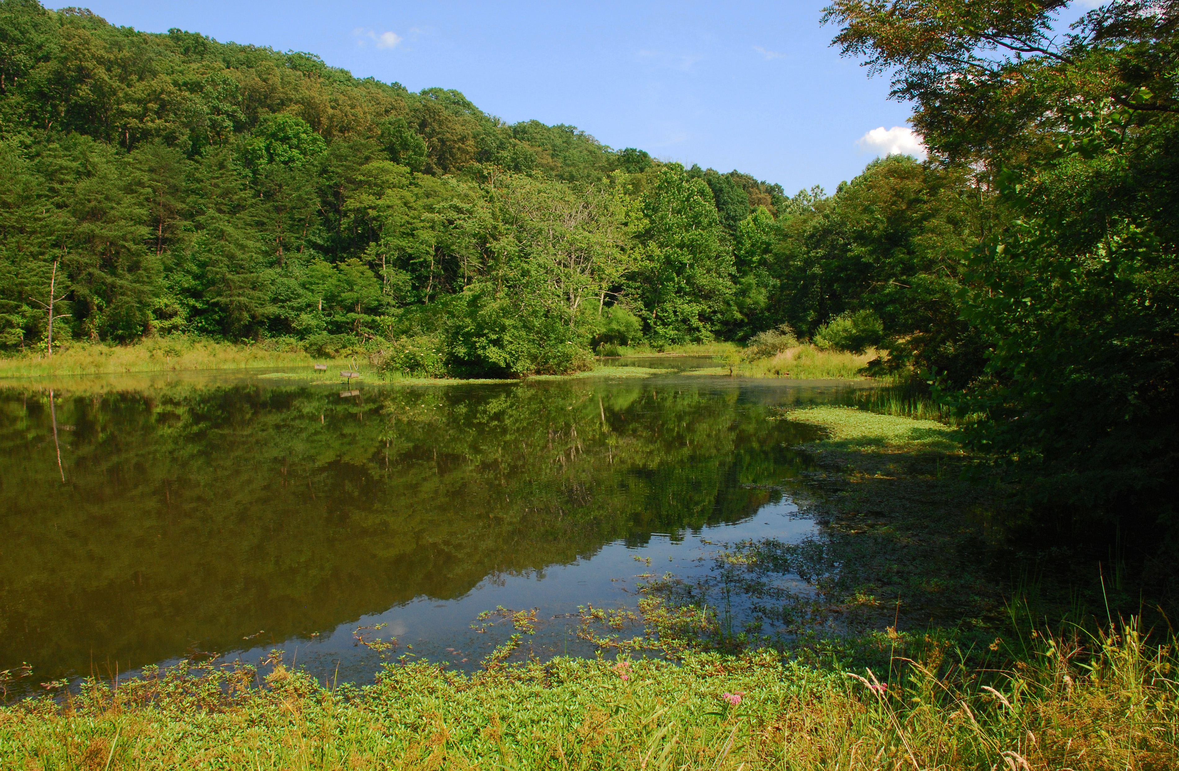
McDonough Wildlife Refuge
It's Here
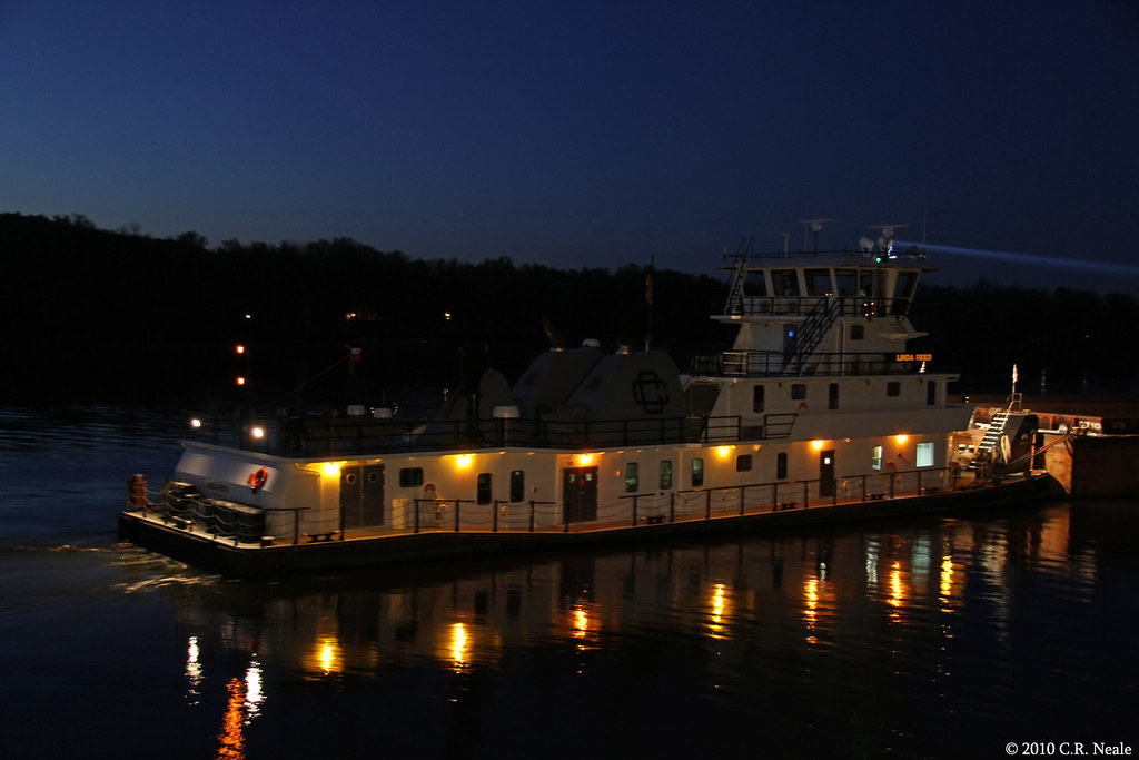
Linda Reed Night Shot
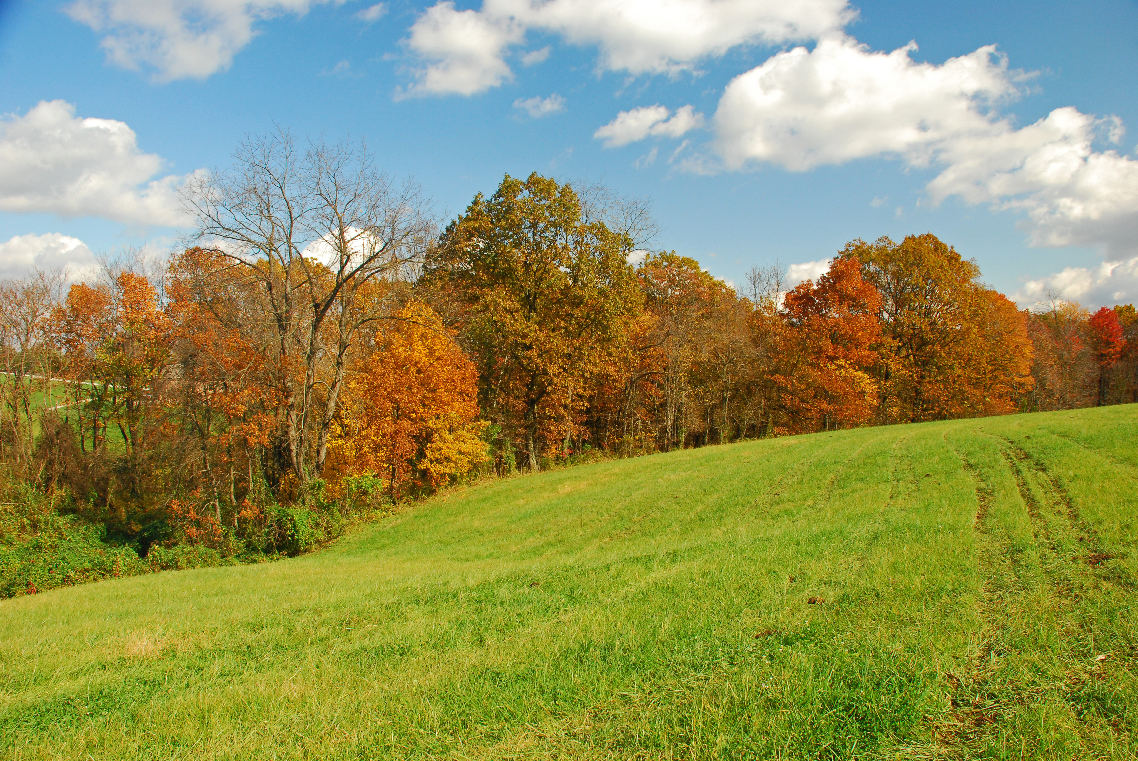
Warren Chapel Road Fall Landscape
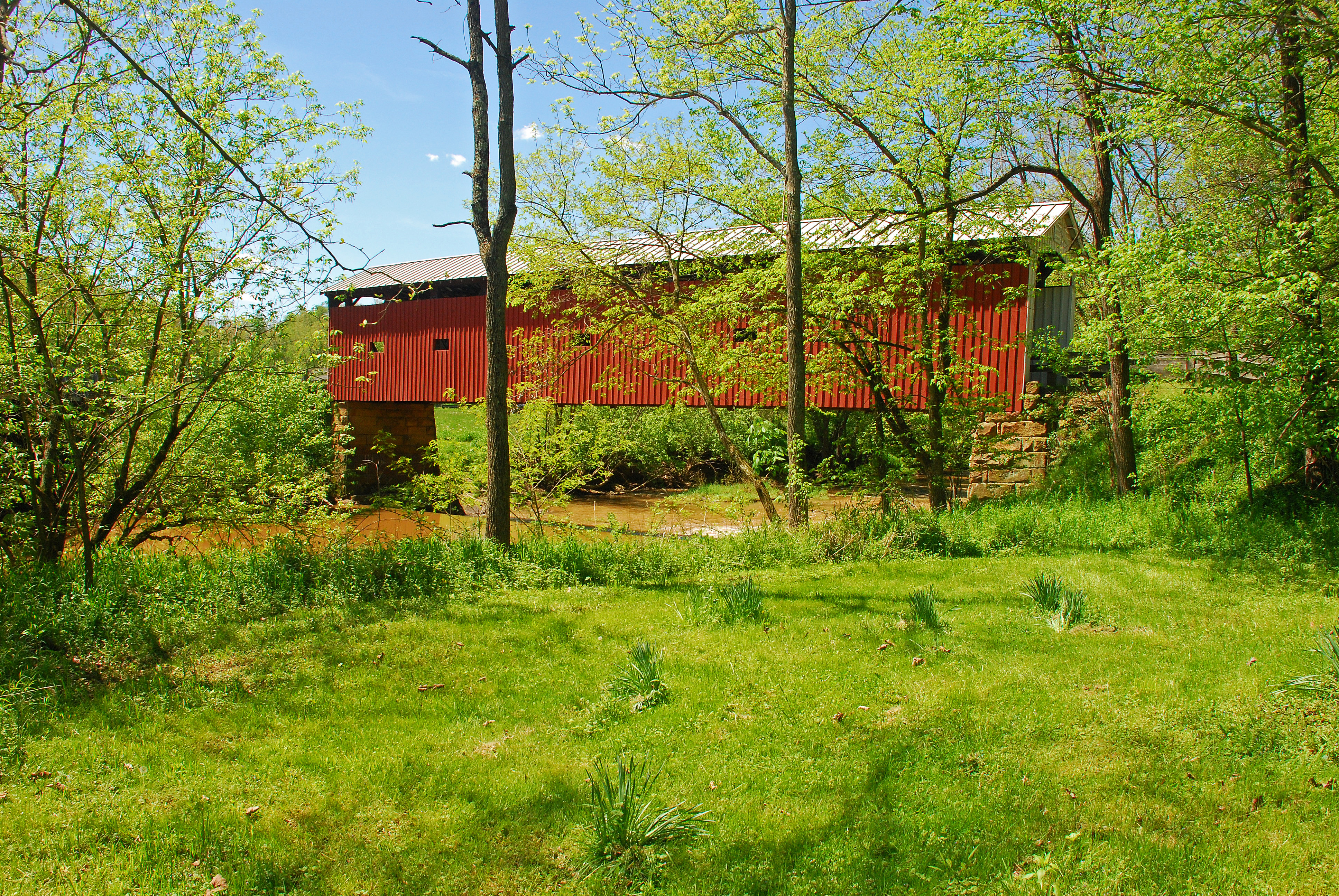
Harra Covered Bridge Spring View

Afterglow on the Ohio River

One more because it's beautiful #sunset

Autumn Stalks

Nature Trail

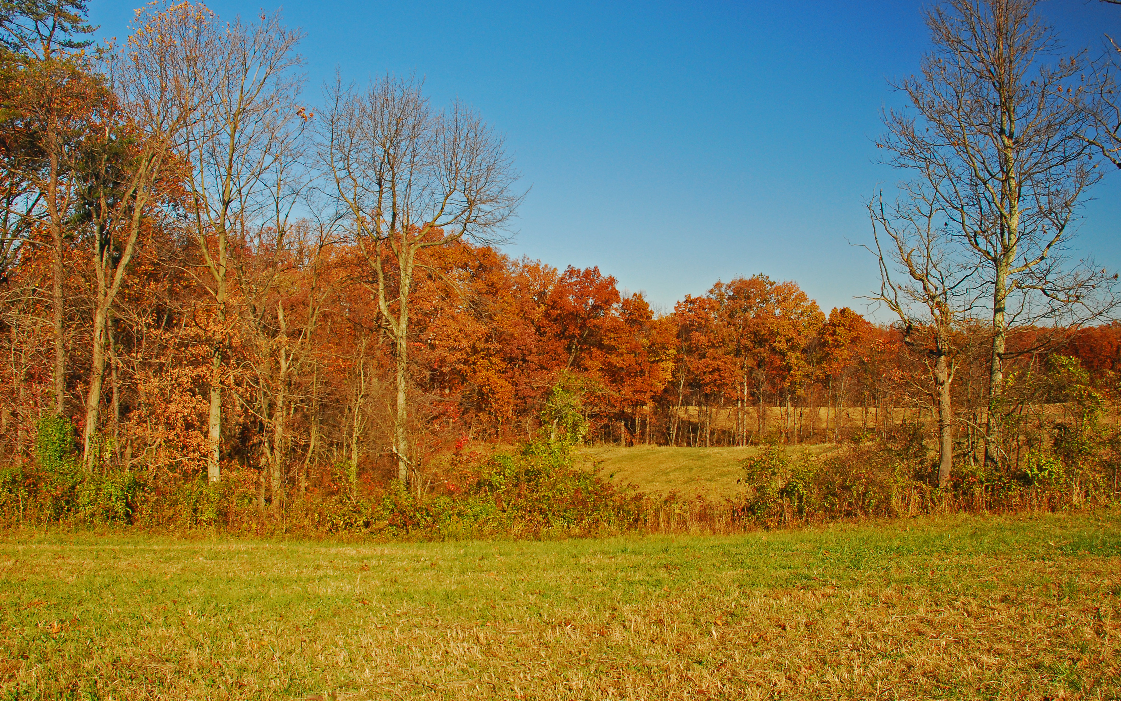
Autumn Landscape
Churchtown Fall Landscape

Churchtown Fall Landscapes
May Landscape
Dusk over the Ohio River
Late Fall Color in Churchtown Ohio

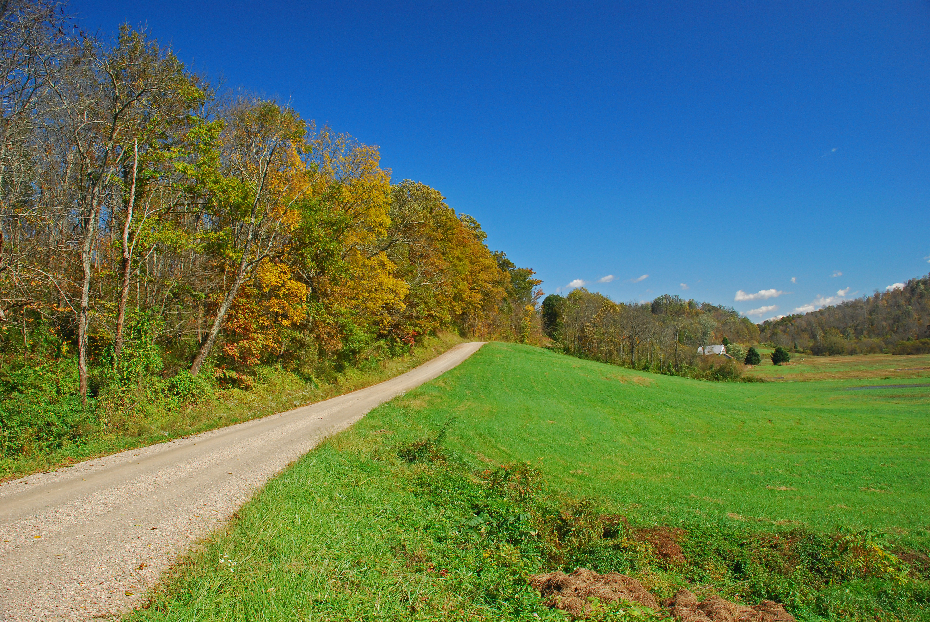
Olinn Road Fall Landscape
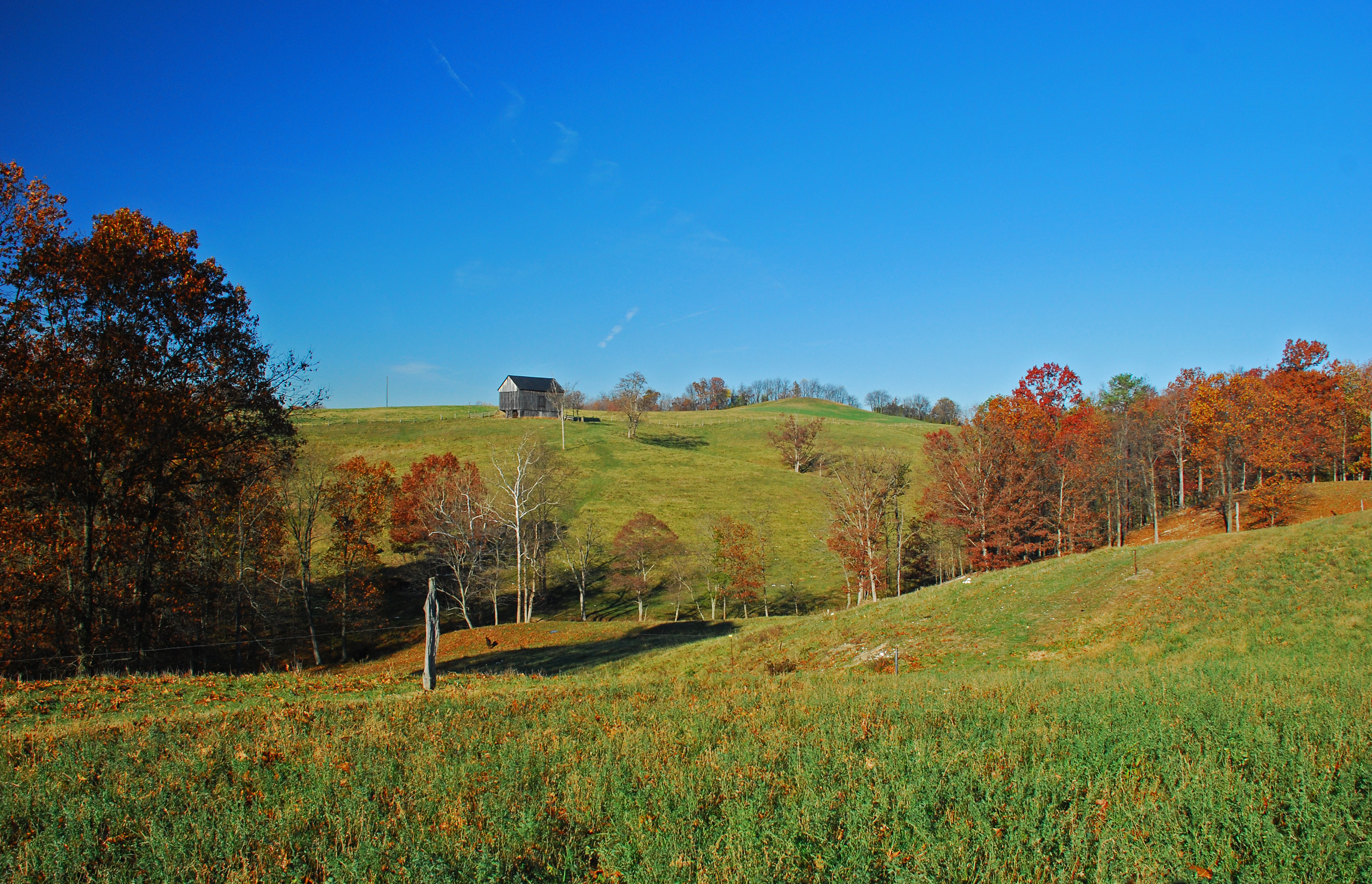
Fall Landscape

Morning has Broken

Sunset @ CRF
Rummer Road fall Colors
Late Fall Color in Churchtown Ohio
Late Fall Color in Churchtown Ohio
Churchtown Fall Landscape

Sunday morning on the OH, Rr

Red Spotted Purple Butterfly
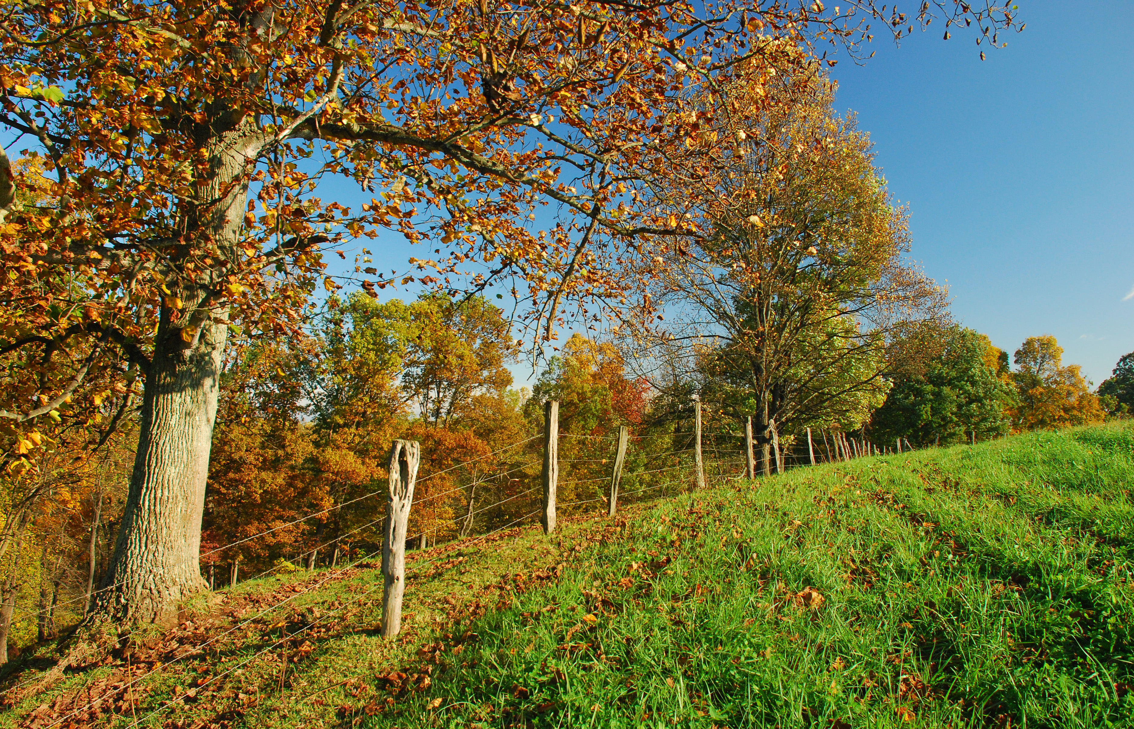
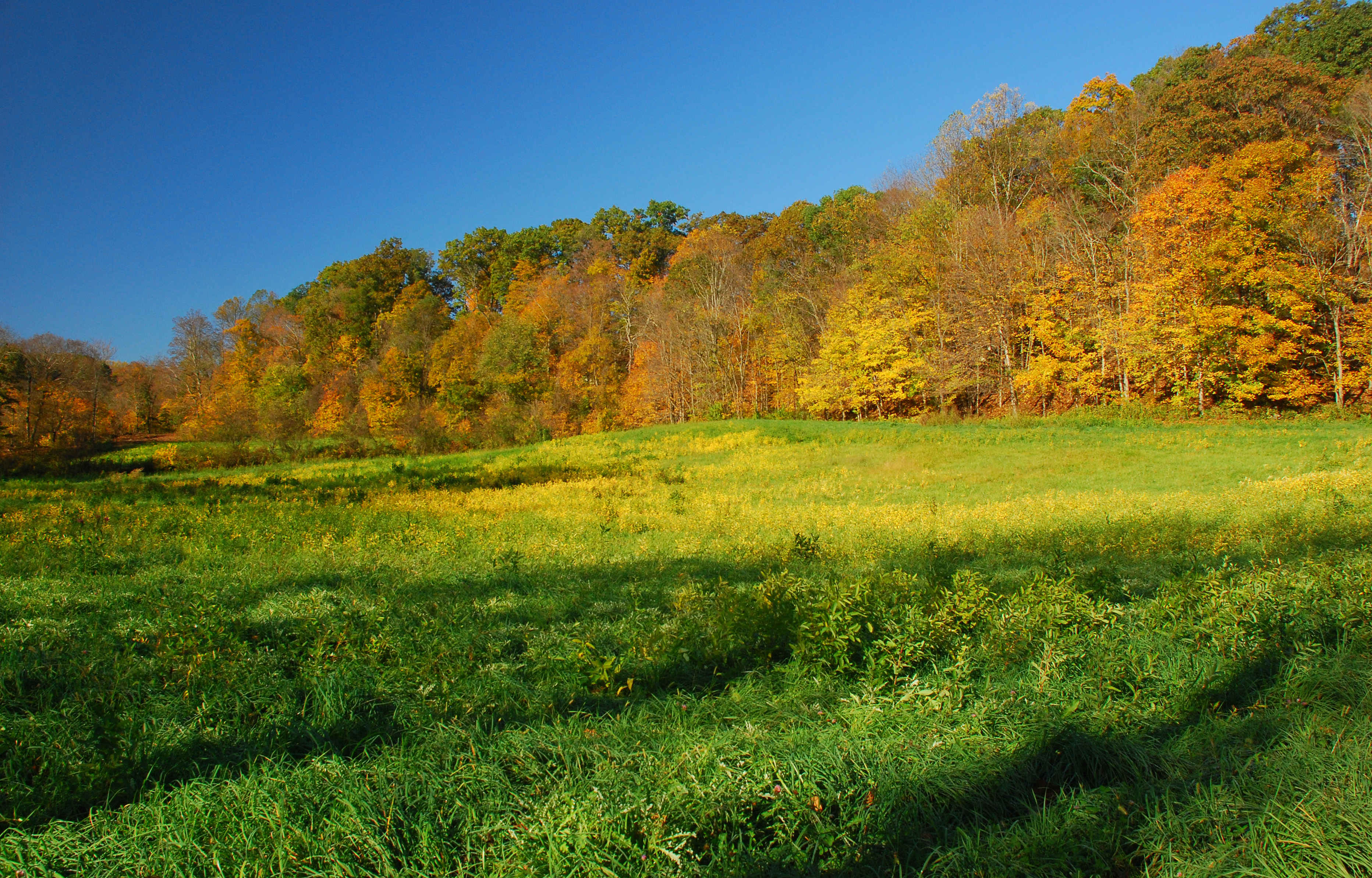
Mid Oct Fall Landscape
Topographic Map of 1st St, Vincent, OH, USA
Find elevation by address:

Places near 1st St, Vincent, OH, USA:
Barlow Township
Fleming
OH-, Cutler, OH, USA
9510 Oh-676
Fairfield Township
Palmer Township
OH-, Fleming, OH, USA
20 Watertown Rd, Waterford, OH, USA
1856 Pineridge Rd
2320 Robinson Hill Rd
Oak Hill Road
2505 Warren Chapel Rd
Watertown Township
Creek Rd, Stockport, OH, USA
86 T330
568 T330
1127 Sandridge Rd
871 Mcneal Rd
20 Windy Point Dr
Wesley Township
Recent Searches:
- Elevation of Corso Fratelli Cairoli, 35, Macerata MC, Italy
- Elevation of Tallevast Rd, Sarasota, FL, USA
- Elevation of 4th St E, Sonoma, CA, USA
- Elevation of Black Hollow Rd, Pennsdale, PA, USA
- Elevation of Oakland Ave, Williamsport, PA, USA
- Elevation of Pedrógão Grande, Portugal
- Elevation of Klee Dr, Martinsburg, WV, USA
- Elevation of Via Roma, Pieranica CR, Italy
- Elevation of Tavkvetili Mountain, Georgia
- Elevation of Hartfords Bluff Cir, Mt Pleasant, SC, USA