Elevation of Oak Hill Road, Oak Hill Rd, Stockport, OH, USA
Location: United States > Ohio > Washington County > Palmer Township >
Longitude: -81.741804
Latitude: 39.4515644
Elevation: 281m / 922feet
Barometric Pressure: 98KPa
Elevation Map:
Satellite Map:
Related Photos:
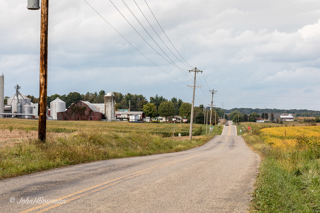
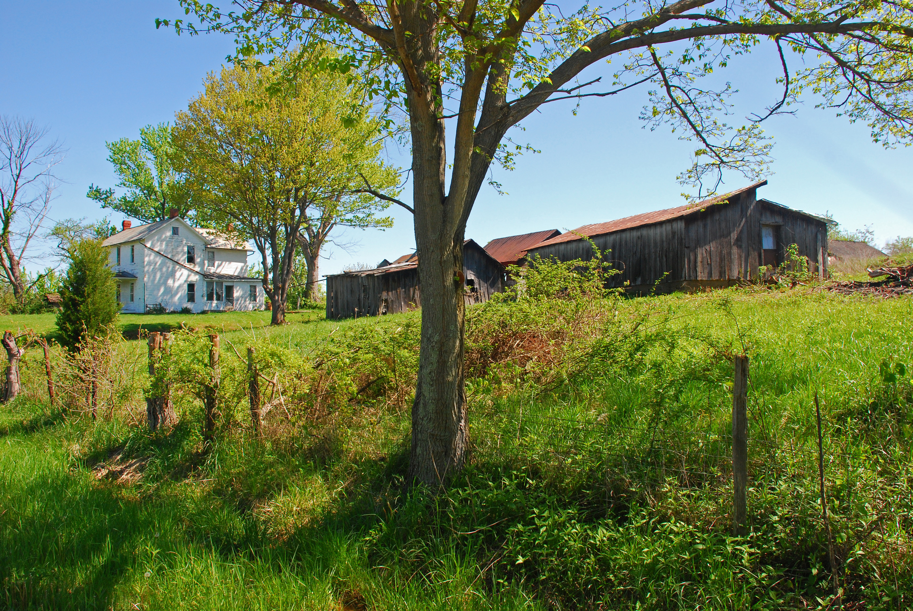
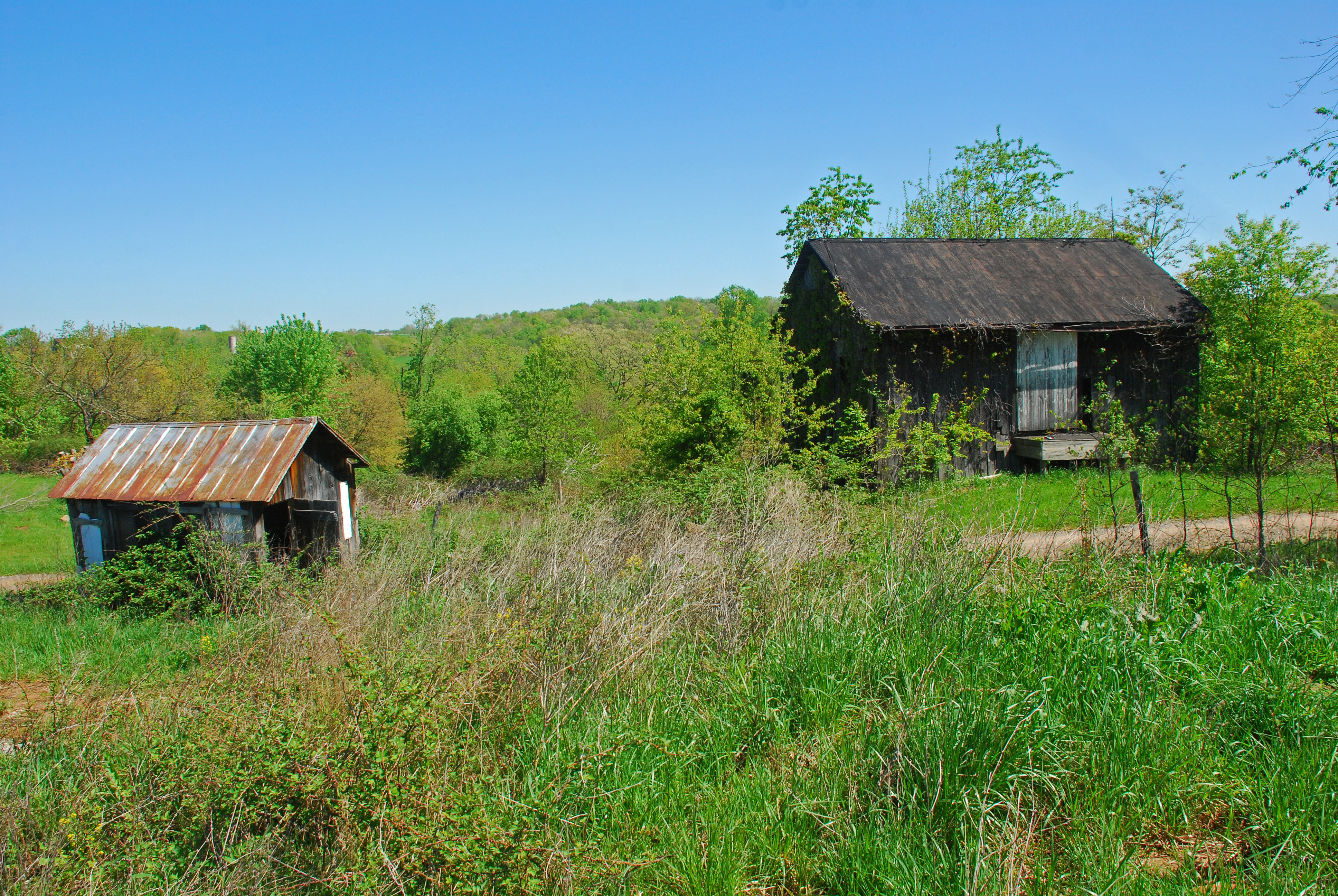
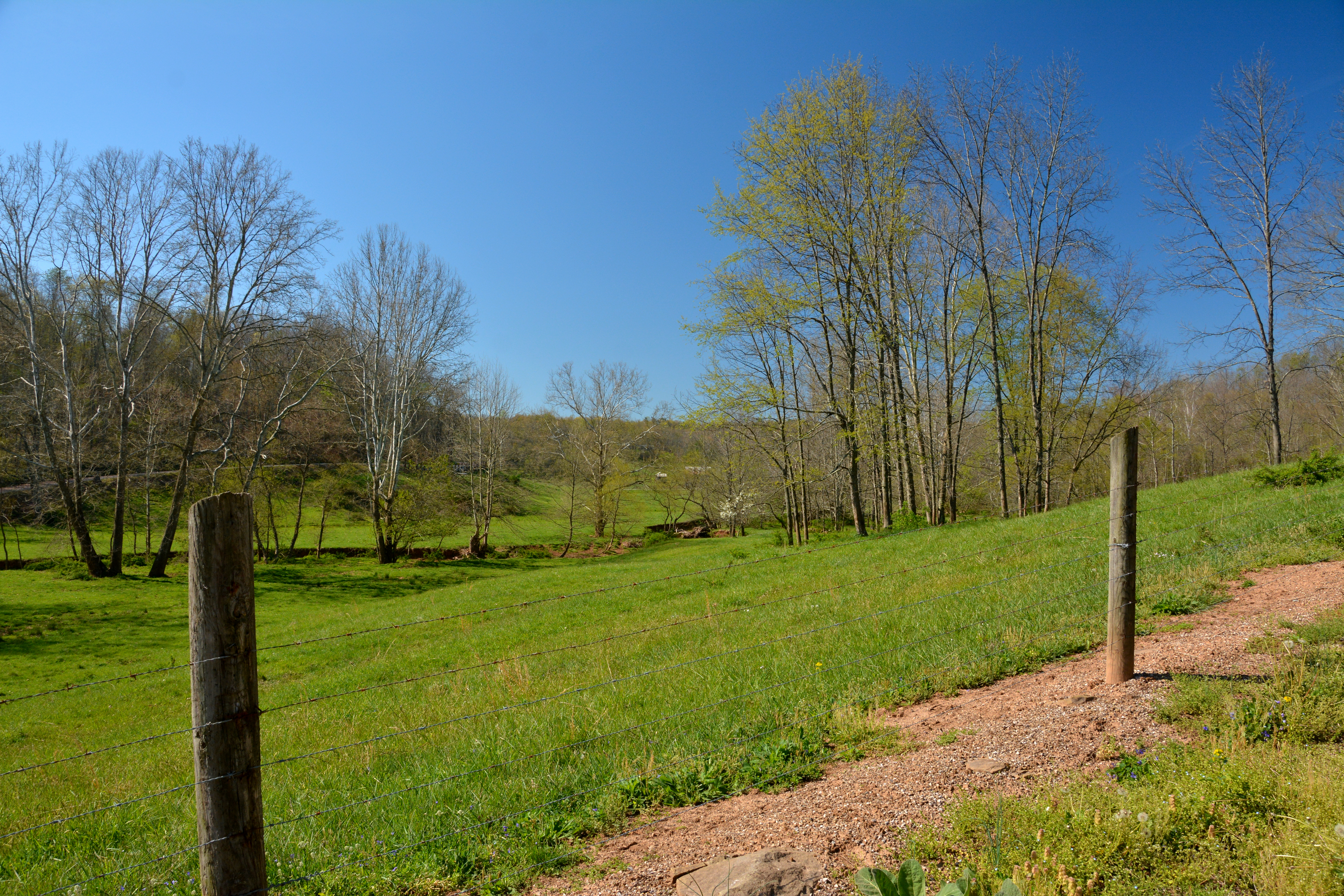
Rolling Countryside

View of Mill at Wolf Creek near Muskingum River
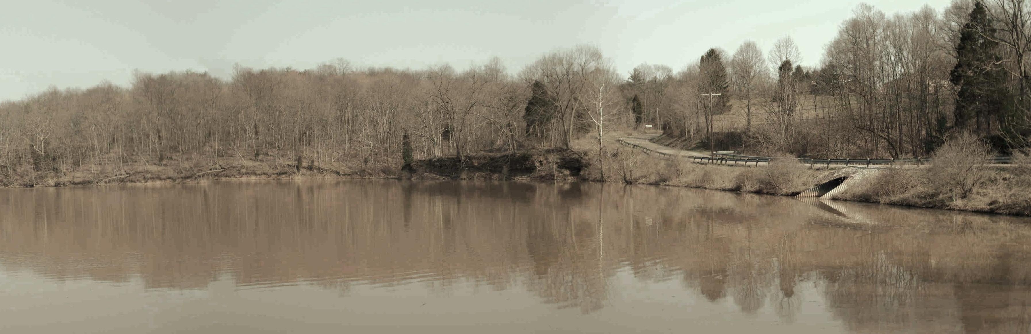
Veto Lake (aged)
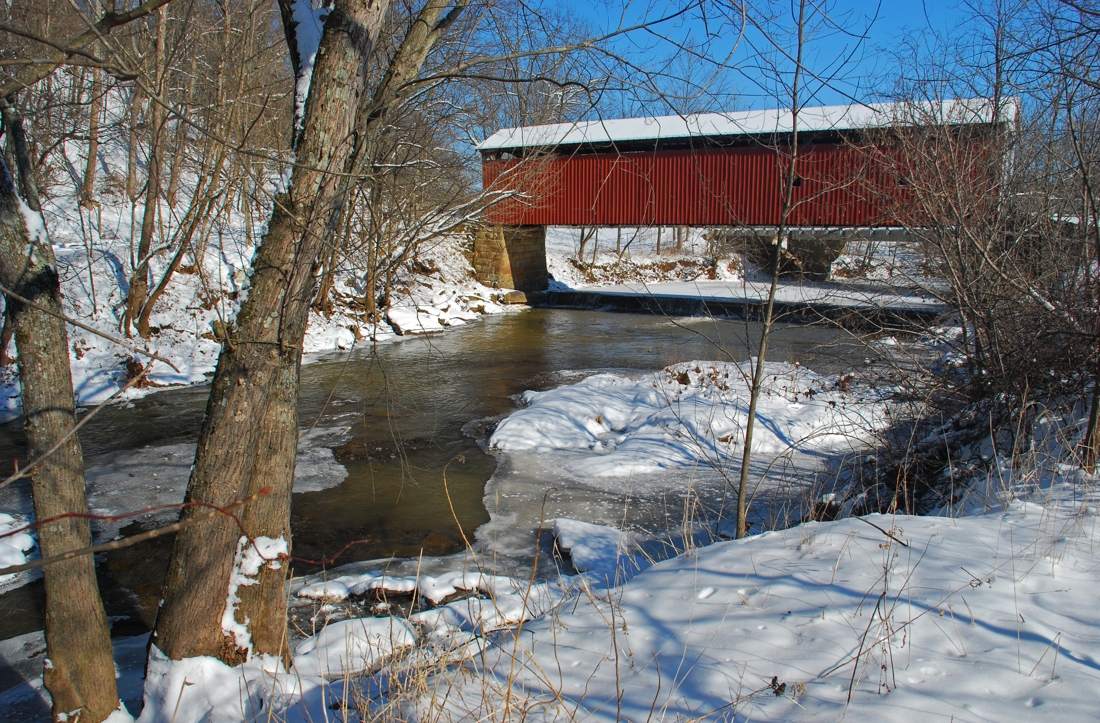
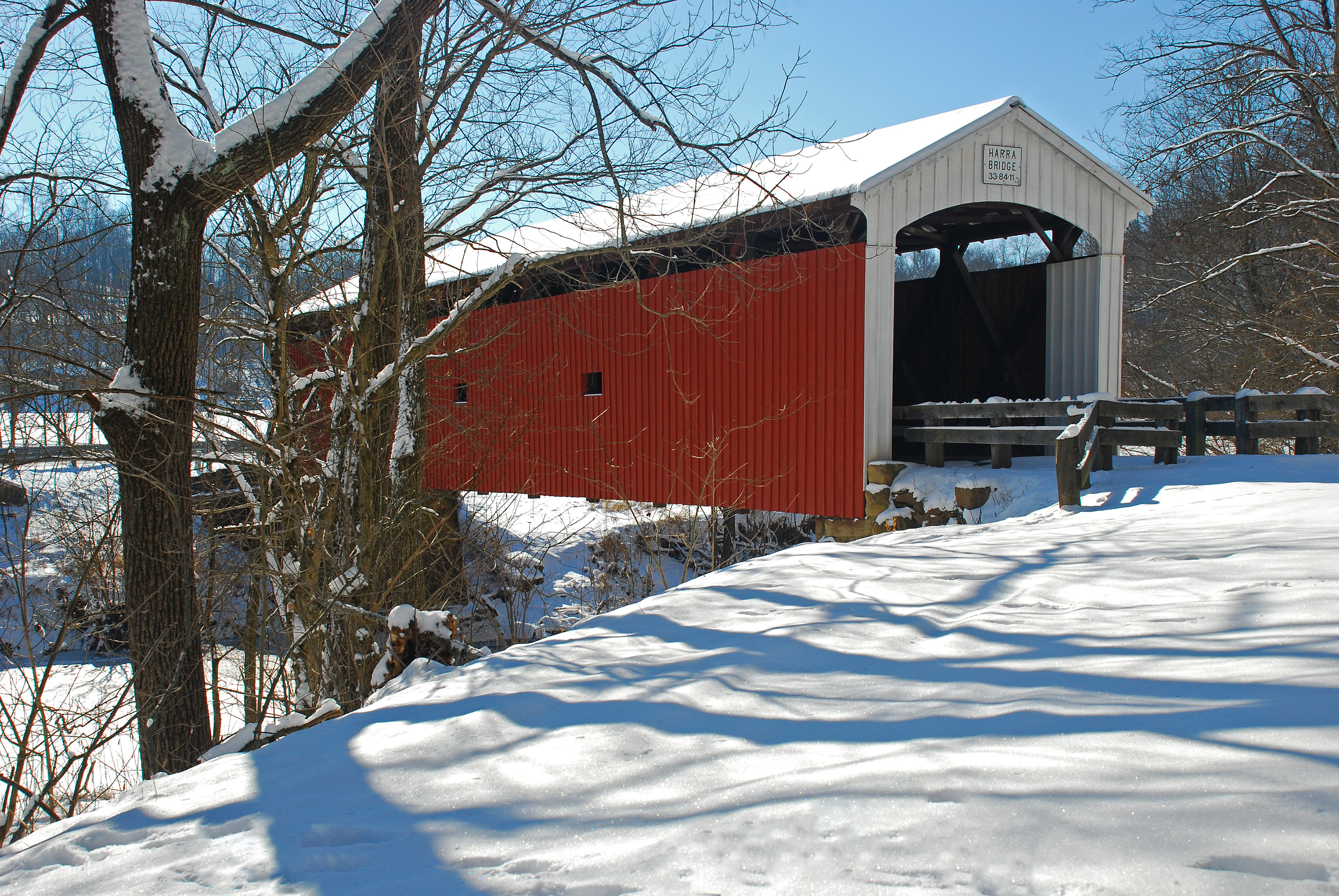
Harra Covered Bridge Winter View
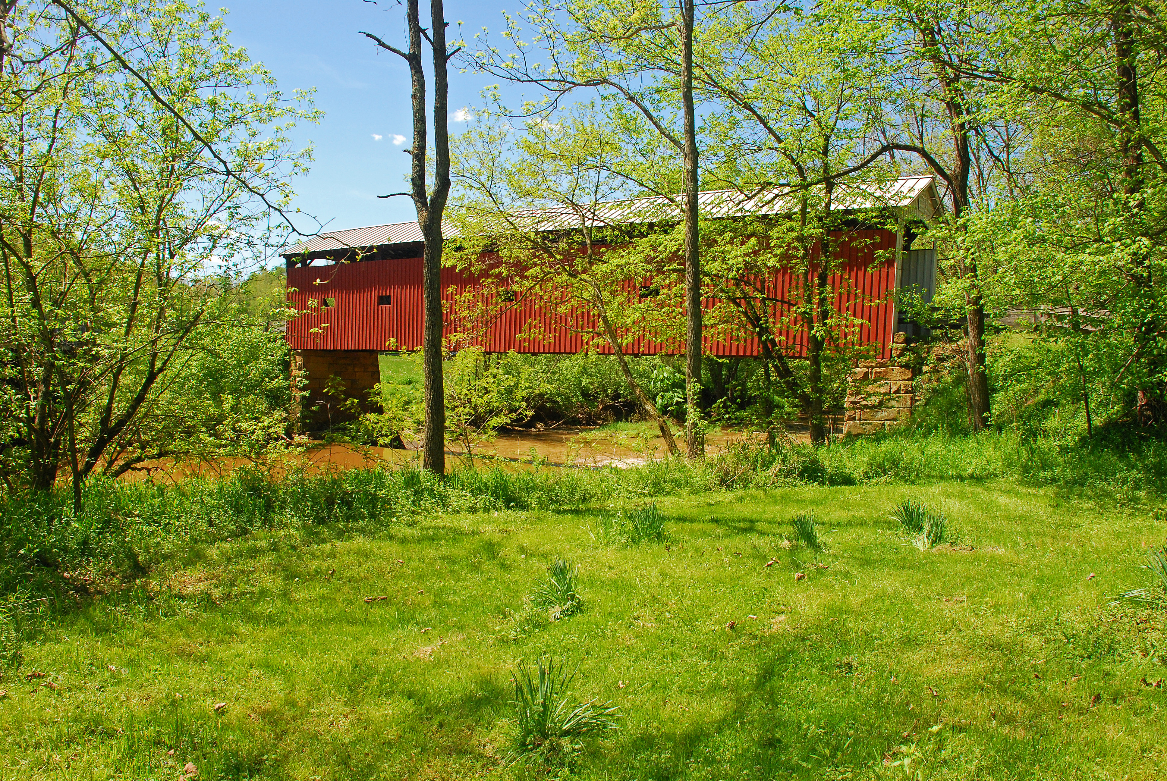
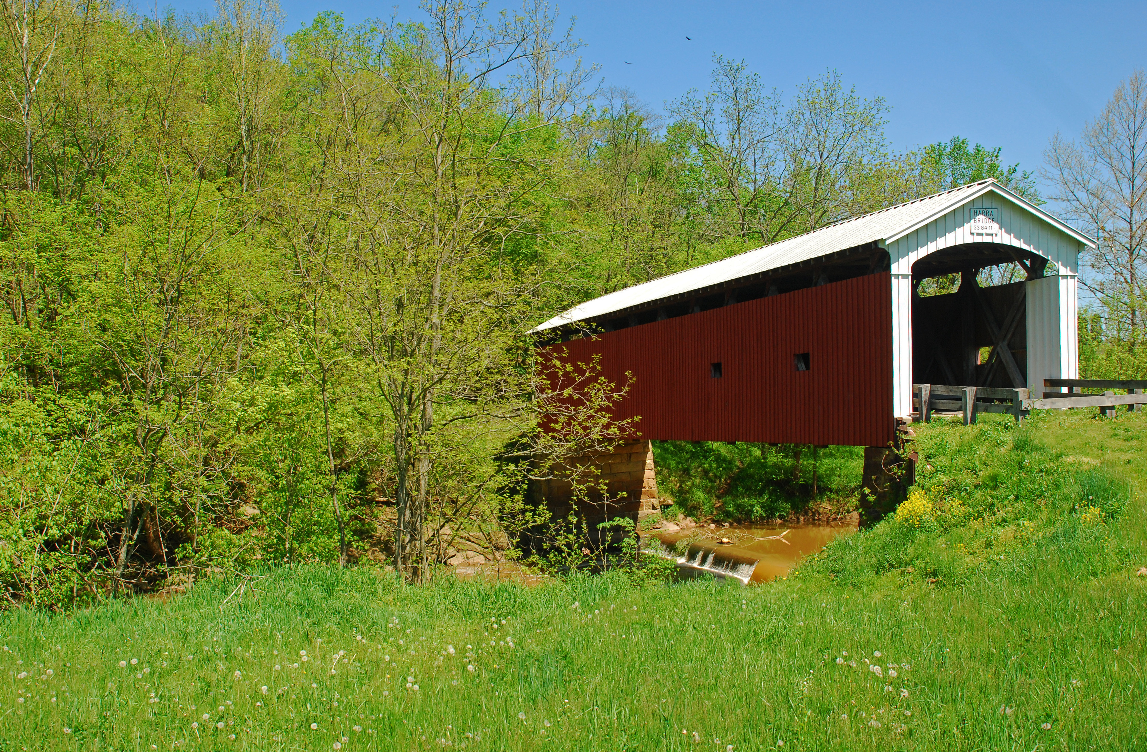
Harra Covered Bridge Spring View
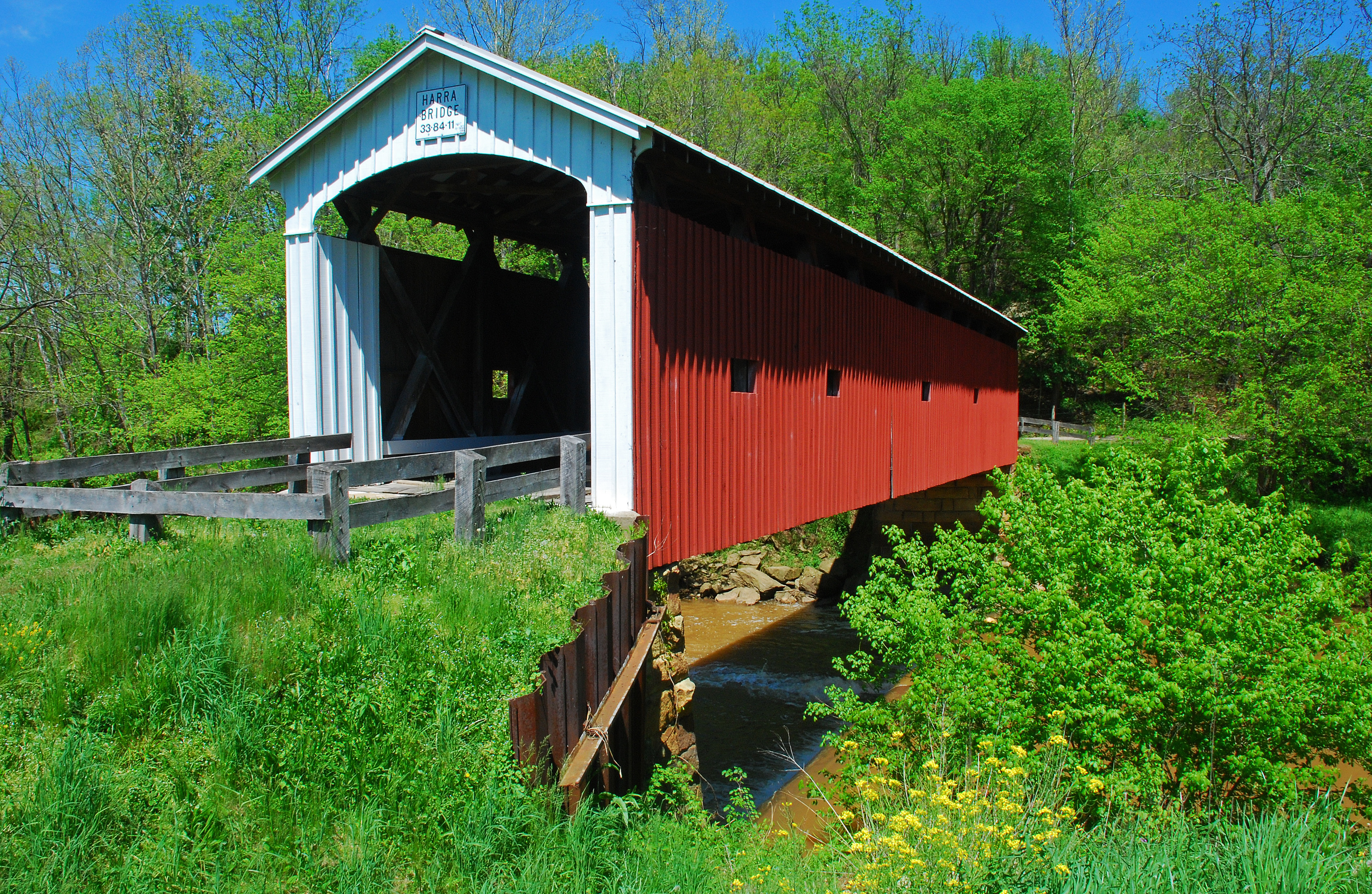
Harra Covered Bridge Spring View
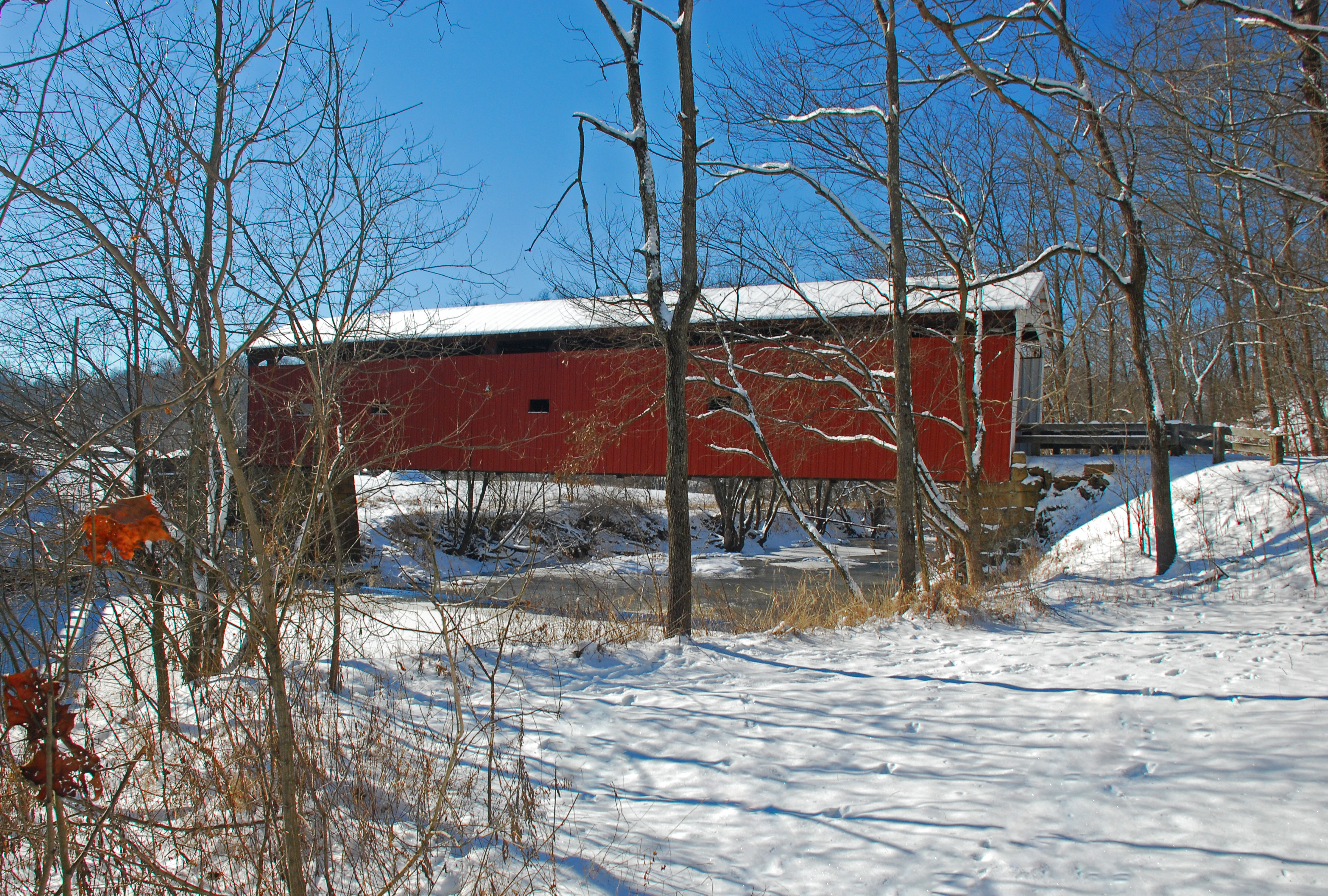
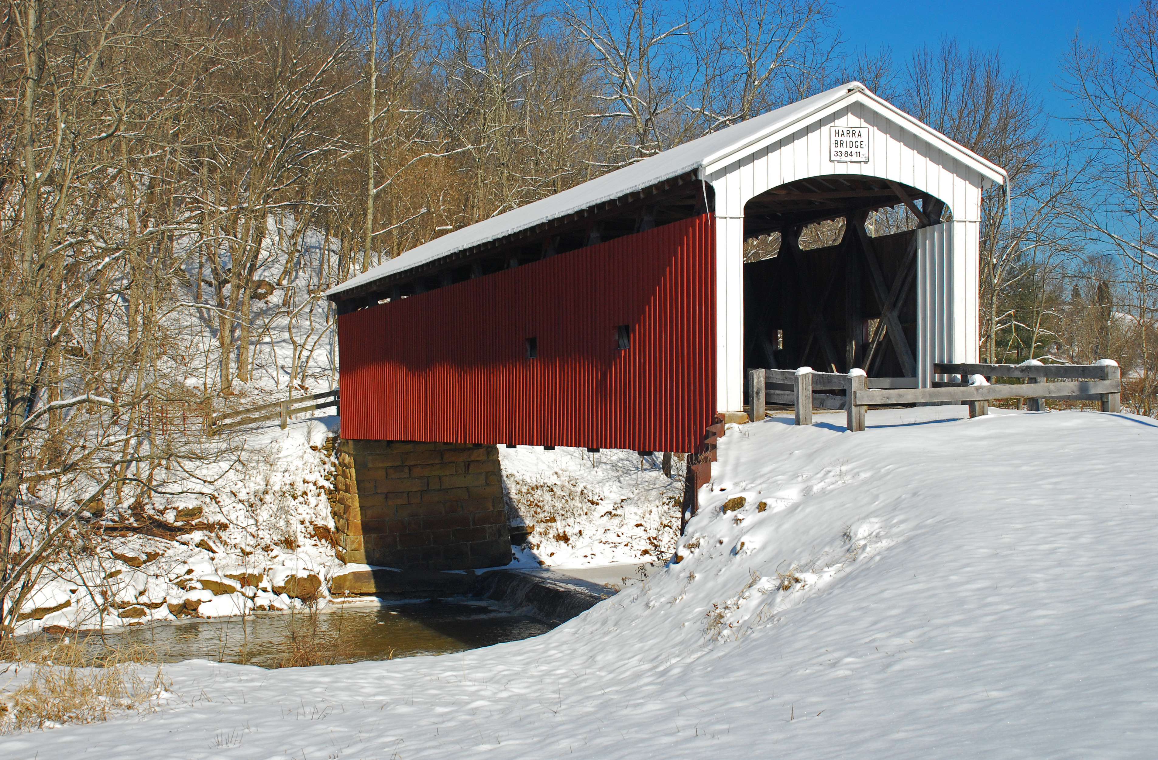
Harra Covered Bridge Winter View
Christy Road Spring Landscape

Harra Covered Bridge Spring View
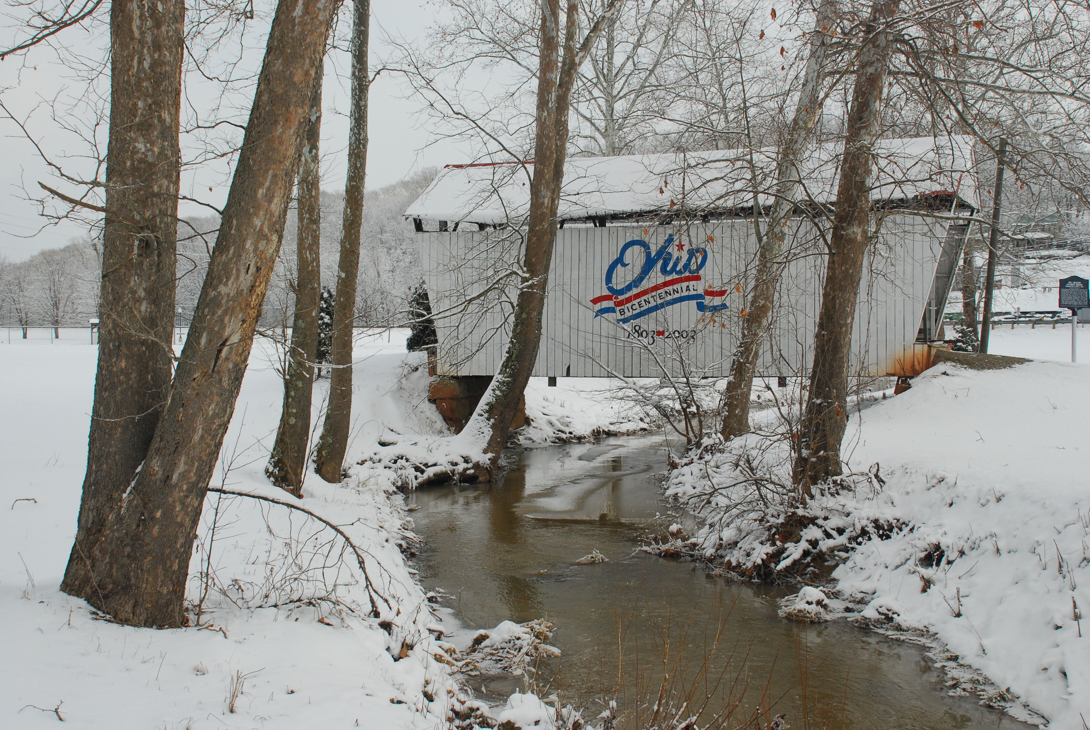
Mill Branch Covered Bridge
Christy Road Spring Landscape

Flowers by Mill Branch Bridge
Harra Covered Bridge Spring View
Harra Covered Bridge Winter View
Harra Covered Bridge Winter View
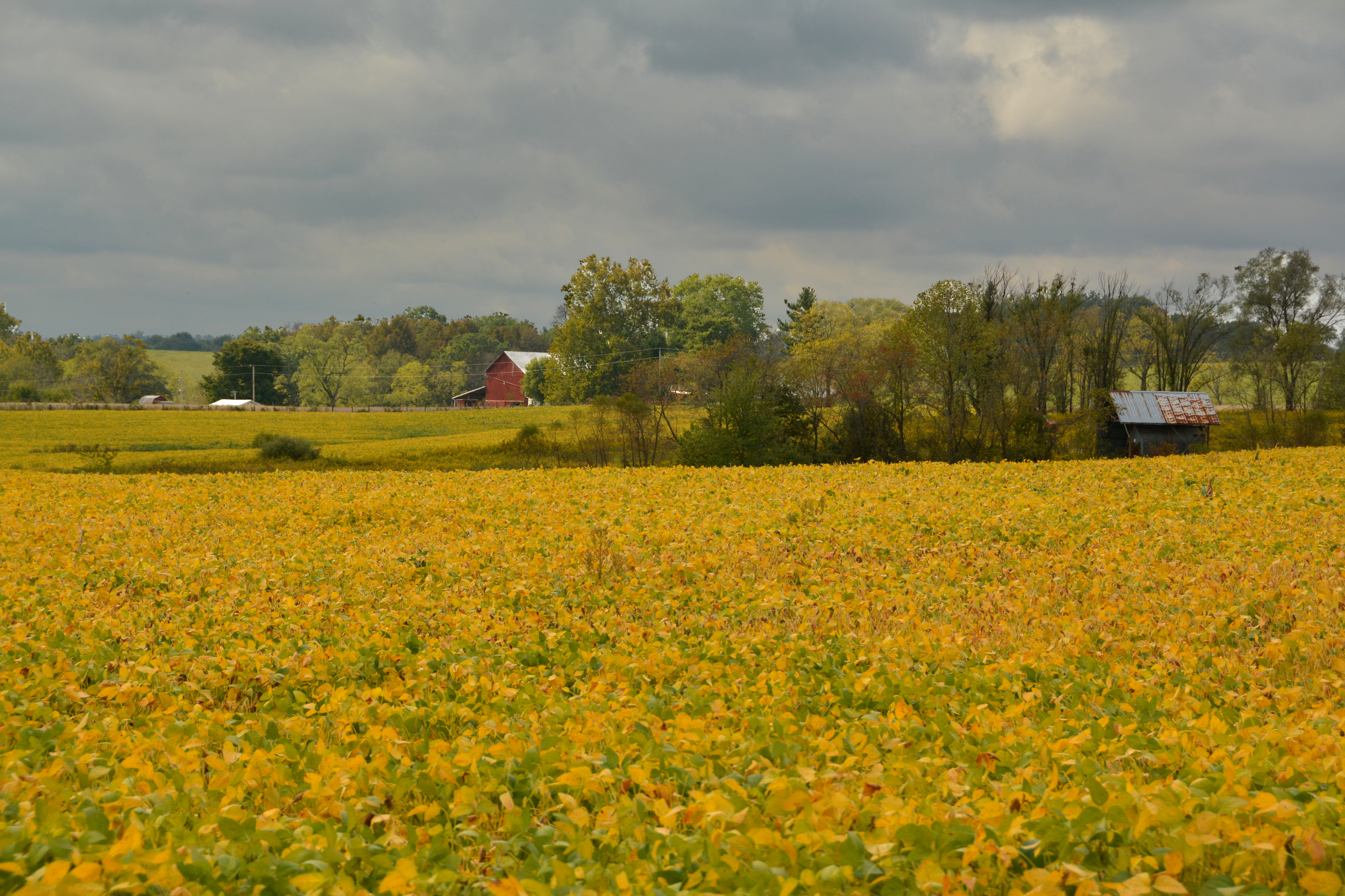
Fields of Gold
Olinn Road Spring Landscape
Olinn Road Spring Landscape
Olinn Road Spring Landscape
Olinn Road Spring Landscape
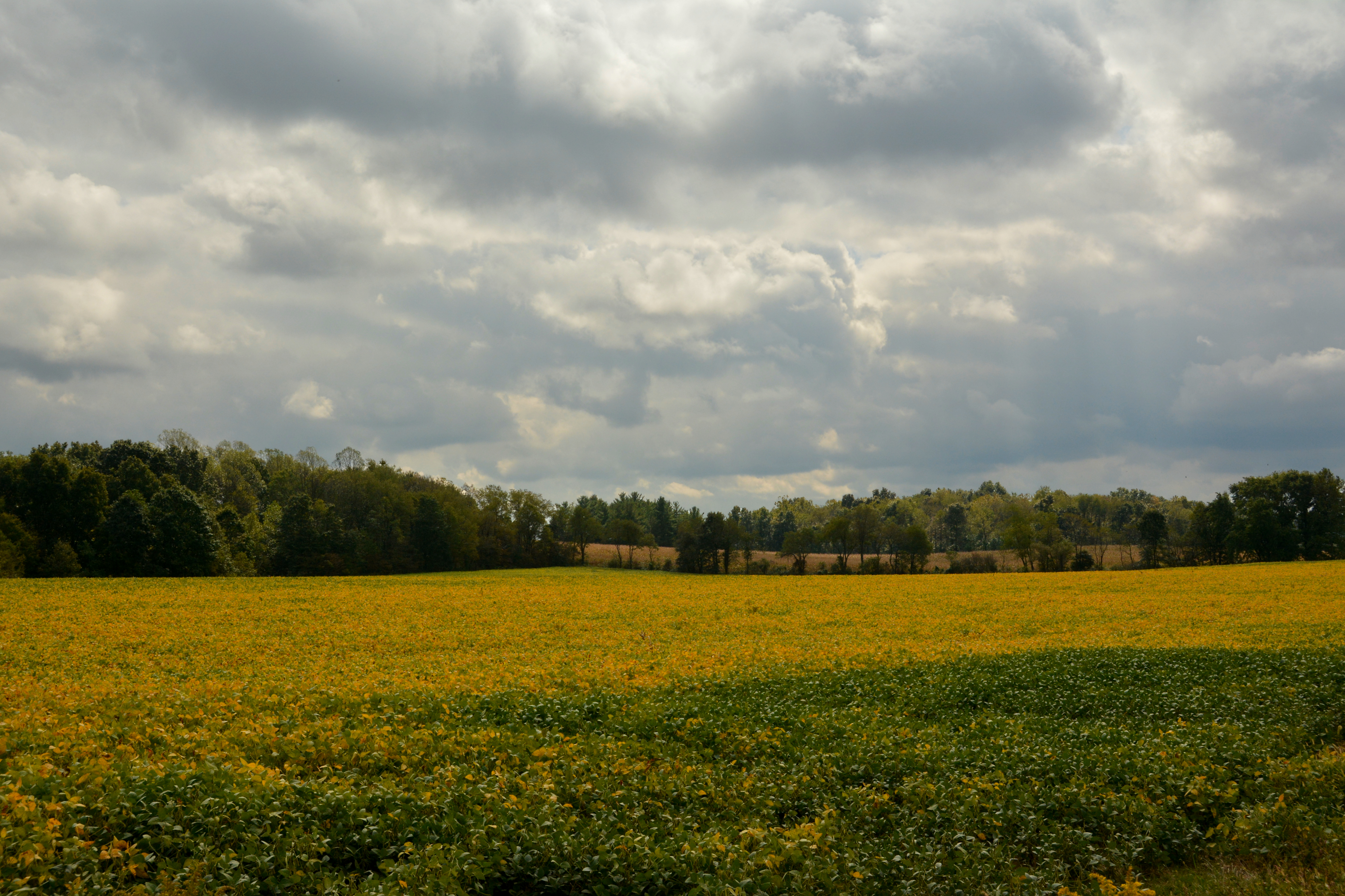
Fields of Gold
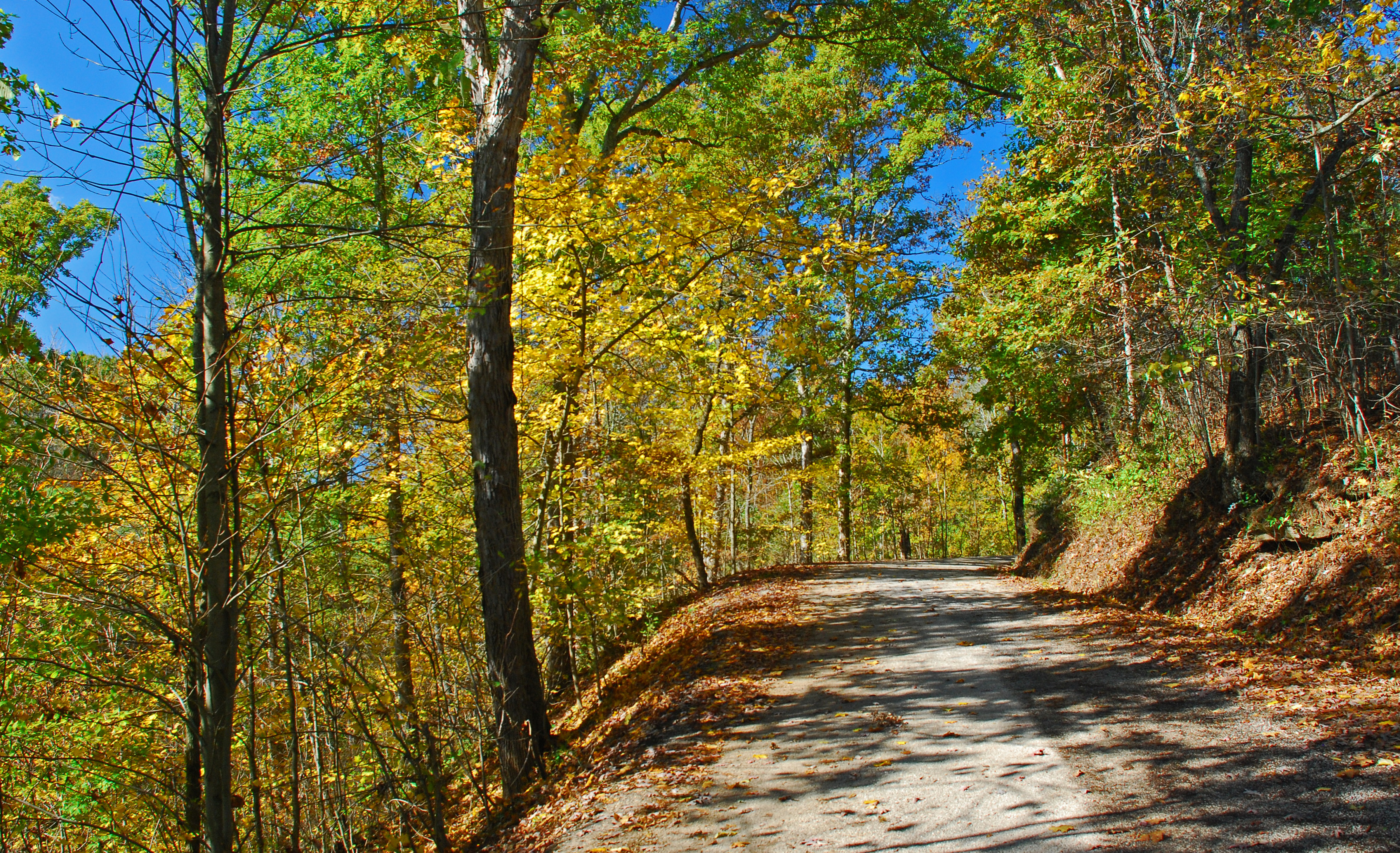
Christy Road Oct Landscape

Pine forest at Boord State Nature Preserve
Olinn Road Fall Landscape
Rauch Road Oct Landscape

Happy Thanksgiving

Autumn Landscape

Morning has Broken

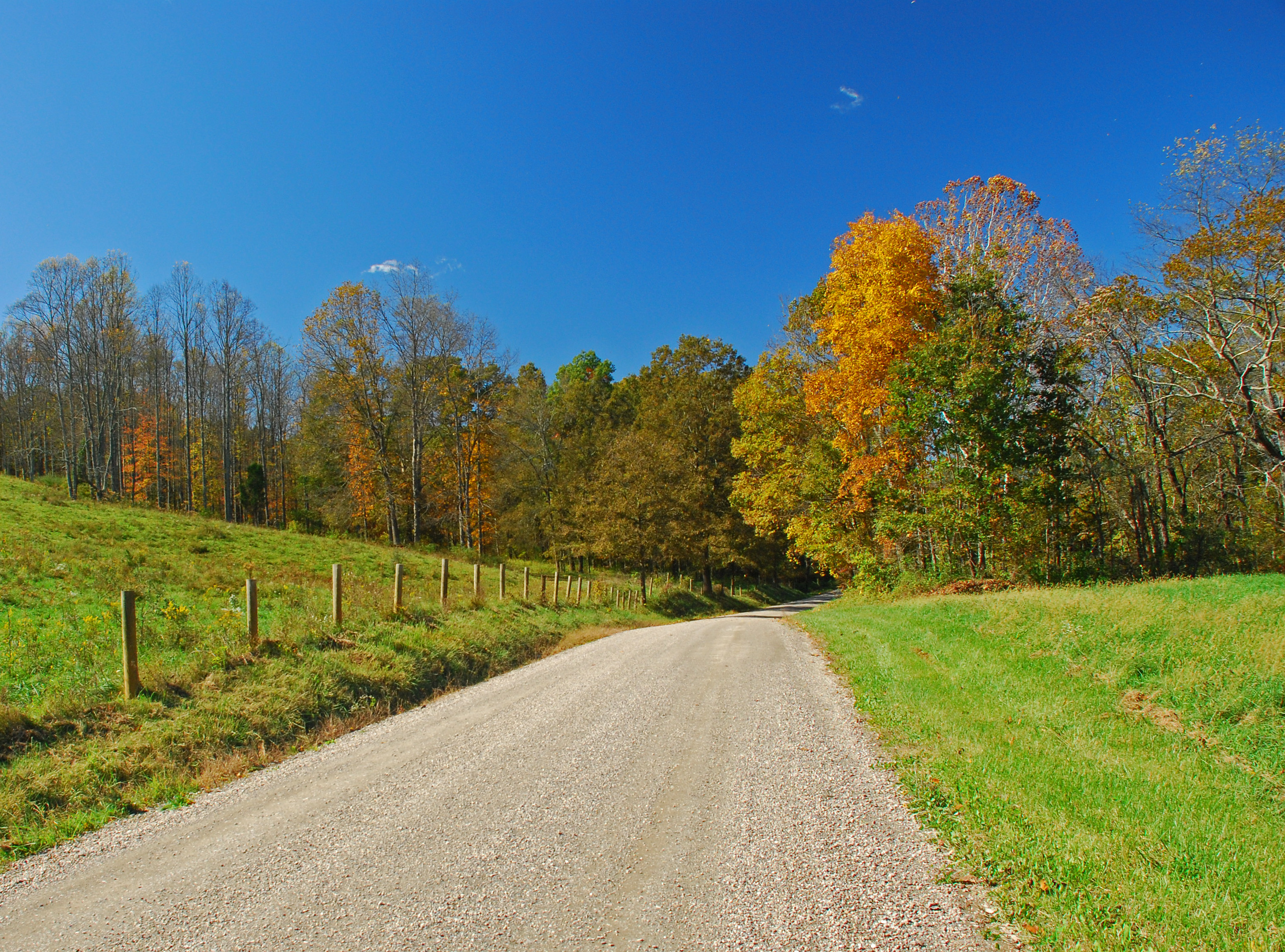
Christy Road Fall Landscape
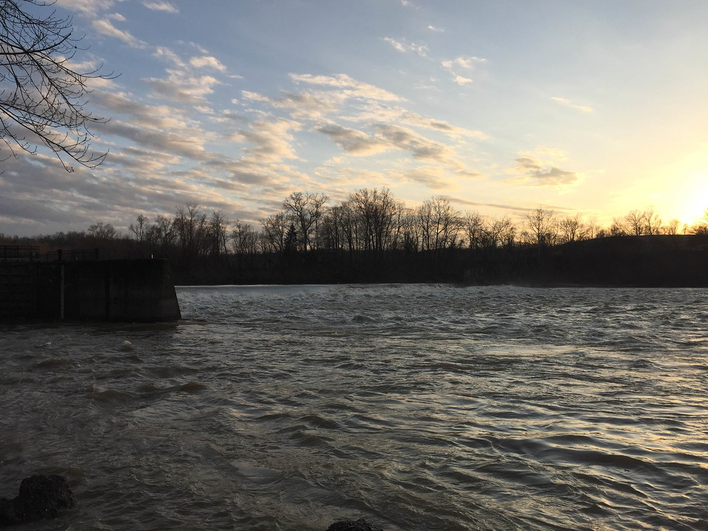
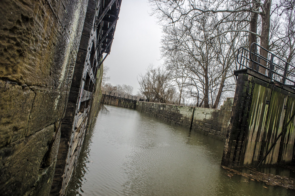
Luke Chute Lock & Dam #5

Red Spotted Purple Butterfly
DSC06618.jpg

Autumn Landscape

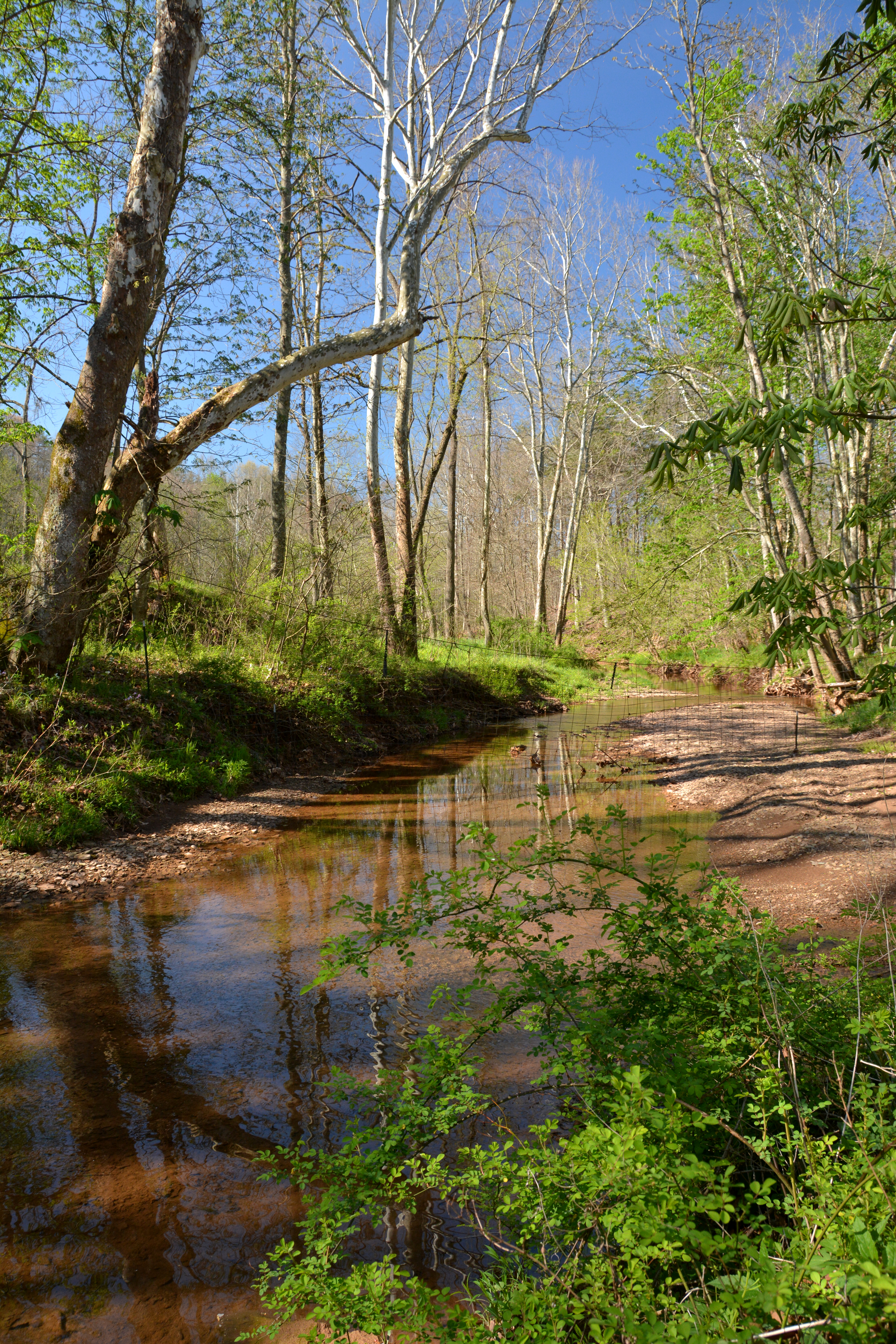
Halfway Run Spring Landscape

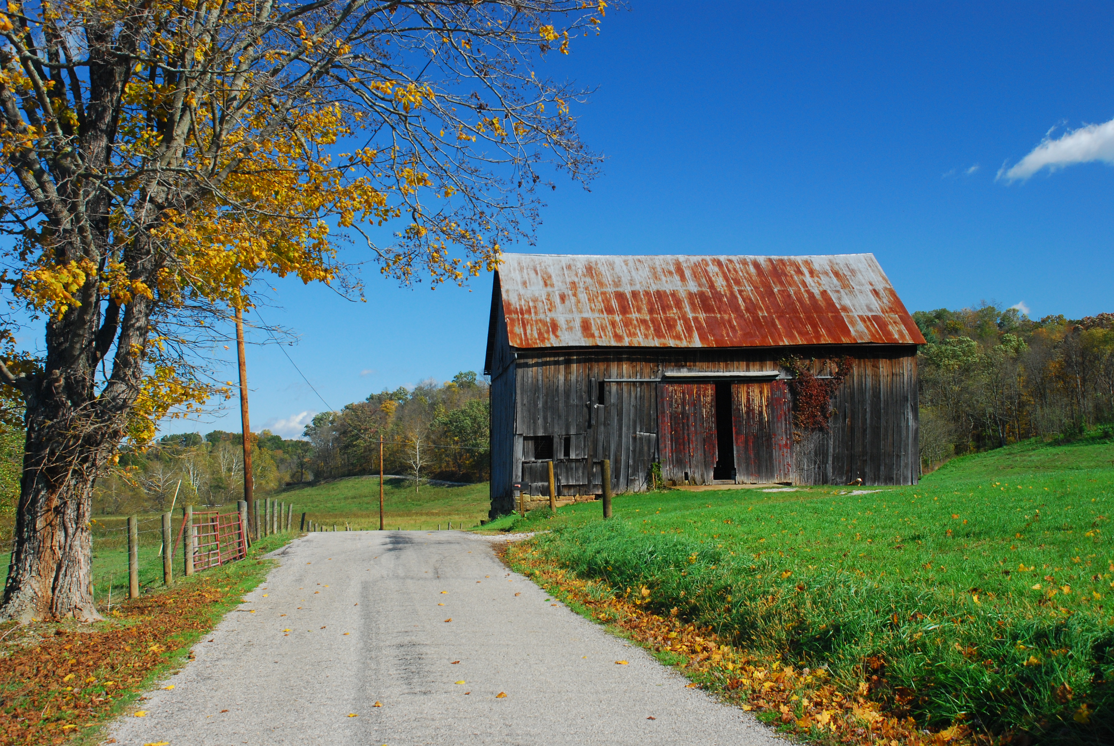
Potmeyer Road Fall Landscape

Potmeyer Road Fall Landscape

Christy Road Autumn Landscape

Early May Landscape

Rauch Road Fall Landscape

Schott Road Fall Landscape

Potmeyer Road Fall Landscape
Topographic Map of Oak Hill Road, Oak Hill Rd, Stockport, OH, USA
Find elevation by address:

Places near Oak Hill Road, Oak Hill Rd, Stockport, OH, USA:
Palmer Township
Creek Rd, Stockport, OH, USA
OH-, Cutler, OH, USA
9510 Oh-676
Wesley Township
6139 Mercer Ln
6139 Mercer Ln
Fairfield Township
86 T330
Luke Chute
568 T330
Windsor Township
2371 Righteous Ridge Rd
1st St, Vincent, OH, USA
20 Watertown Rd, Waterford, OH, USA
Waterford Township
20 Windy Point Dr
871 Mcneal Rd
Barlow Township
900 Beebe Rd
Recent Searches:
- Elevation of Corso Fratelli Cairoli, 35, Macerata MC, Italy
- Elevation of Tallevast Rd, Sarasota, FL, USA
- Elevation of 4th St E, Sonoma, CA, USA
- Elevation of Black Hollow Rd, Pennsdale, PA, USA
- Elevation of Oakland Ave, Williamsport, PA, USA
- Elevation of Pedrógão Grande, Portugal
- Elevation of Klee Dr, Martinsburg, WV, USA
- Elevation of Via Roma, Pieranica CR, Italy
- Elevation of Tavkvetili Mountain, Georgia
- Elevation of Hartfords Bluff Cir, Mt Pleasant, SC, USA