Elevation of Waterford, OH, USA
Location: United States > Ohio > Washington County > Waterford Township >
Longitude: -81.640682
Latitude: 39.5425161
Elevation: 195m / 640feet
Barometric Pressure: 99KPa
Elevation Map:
Satellite Map:
Related Photos:

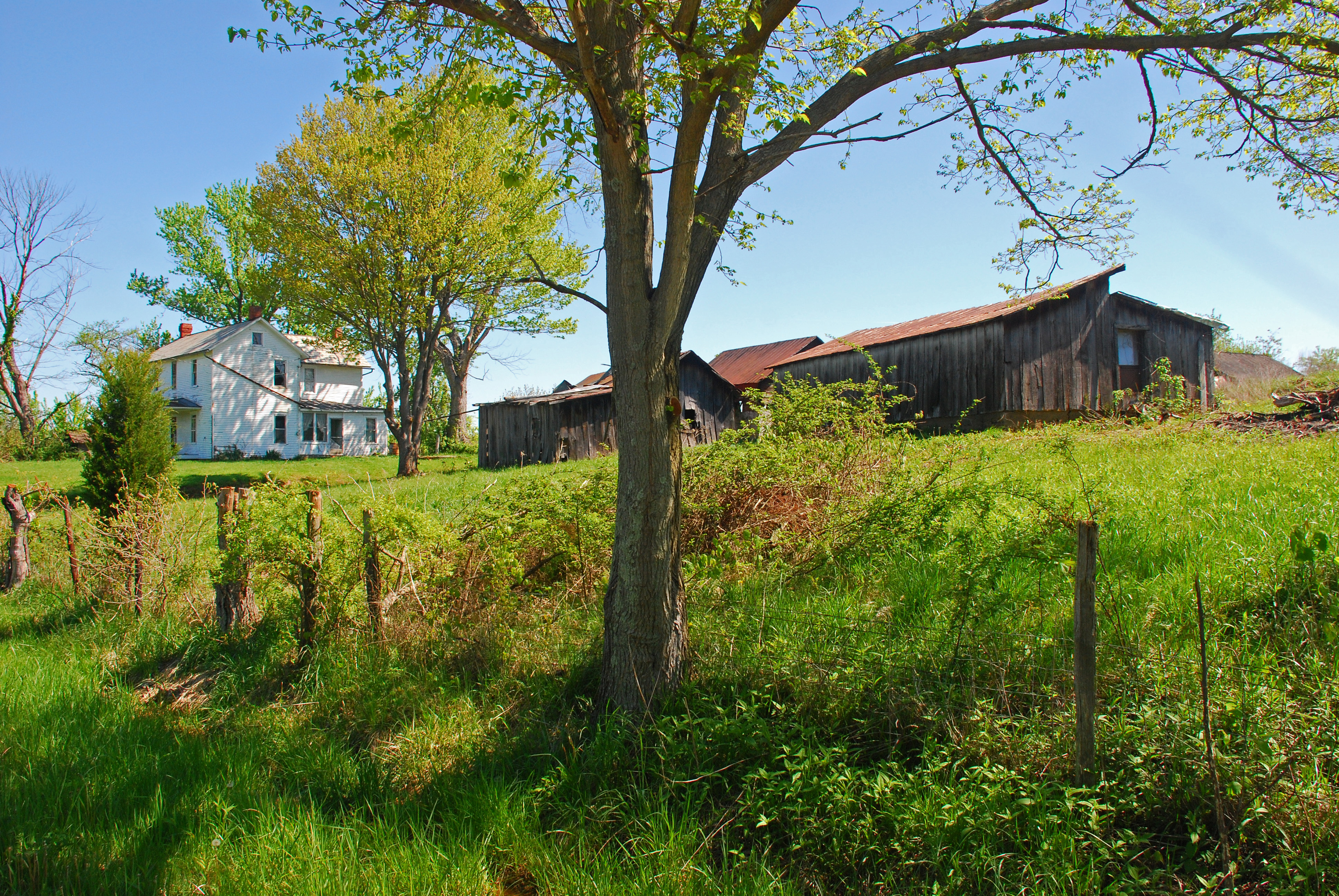
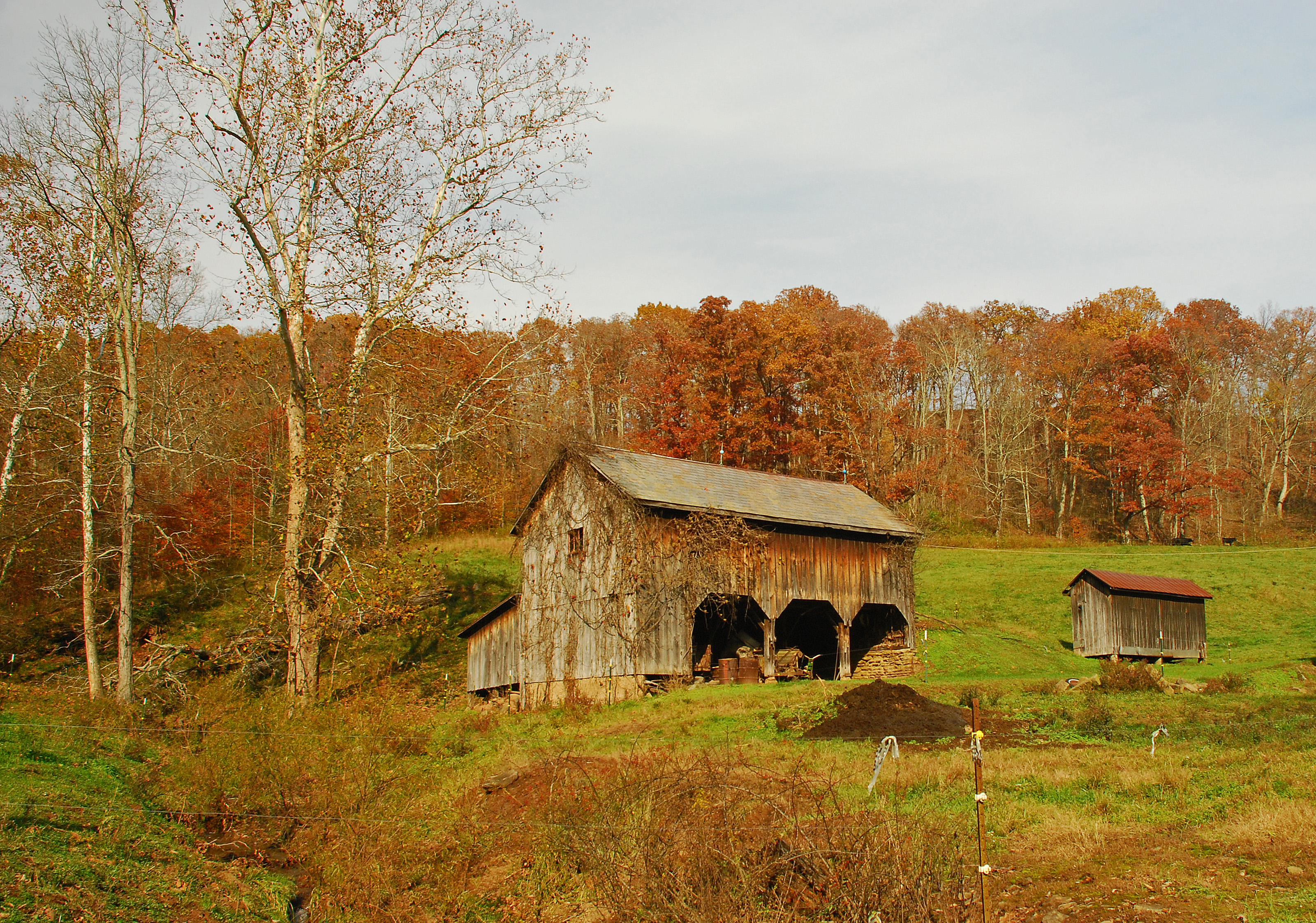
Vine-covered barn

Road to the Sky
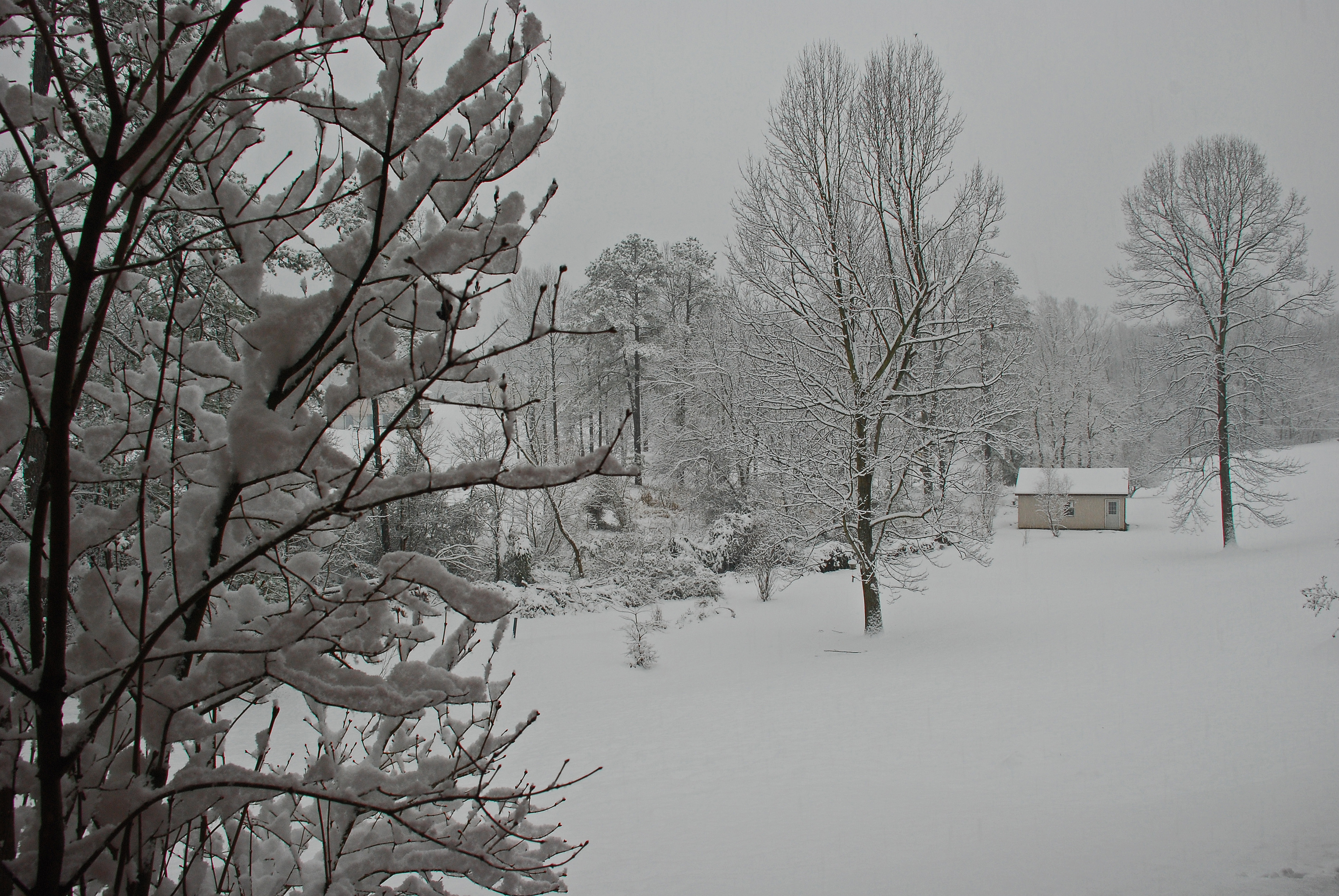
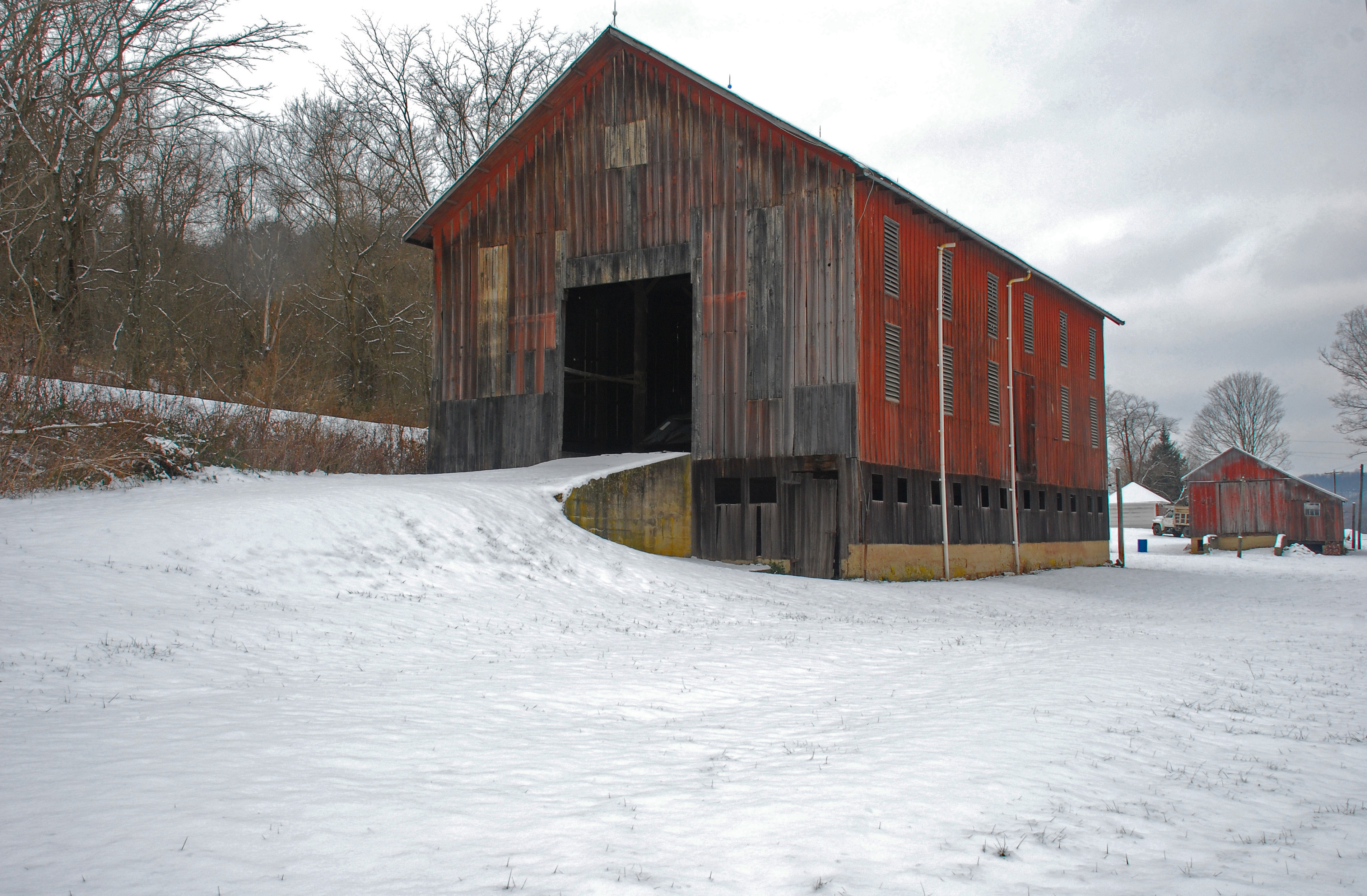
Late December Snow

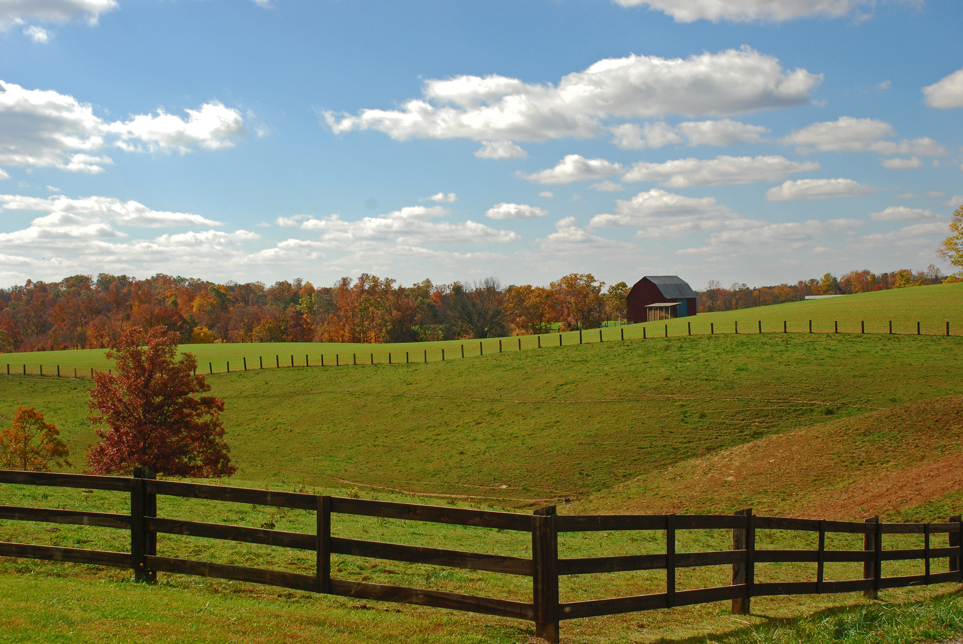
Warren Chapel Road Fall Landscape

Christy Road Spring Landscape

View of Mill at Wolf Creek near Muskingum River

Red Fox Road

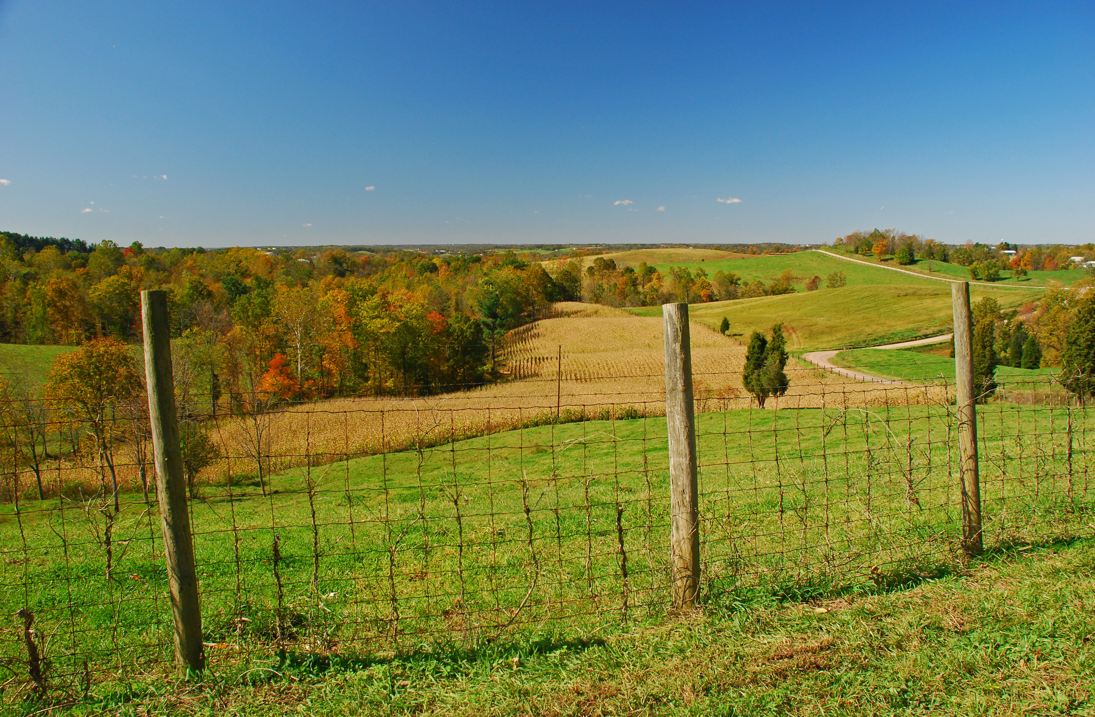
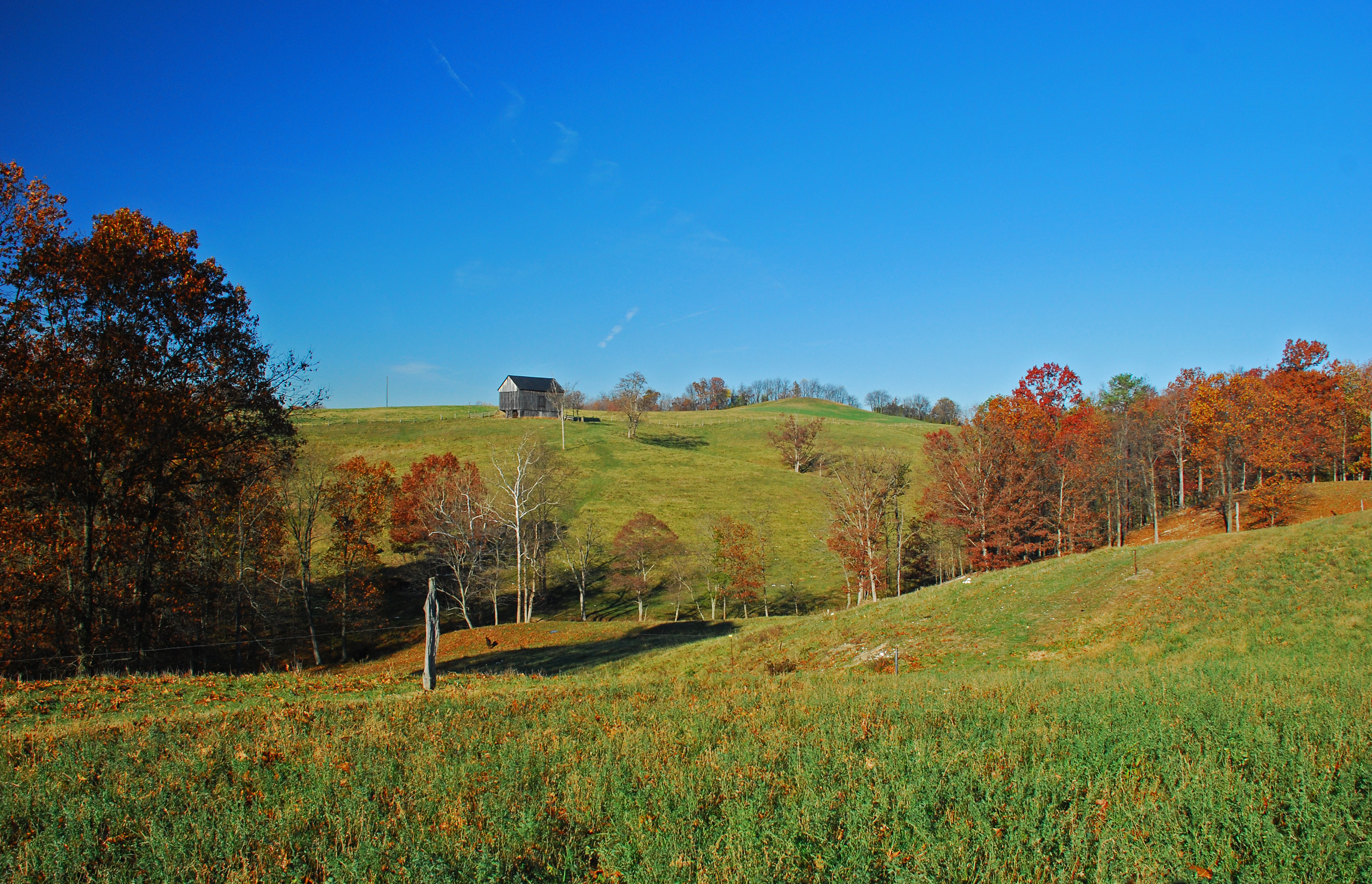
Warren Chapel Road Fall Landscape

Tornes Road Fall Landscape

I Could Save How Much by Switching to Geico
It's Here

Warren Chapel Road Fall Landscape
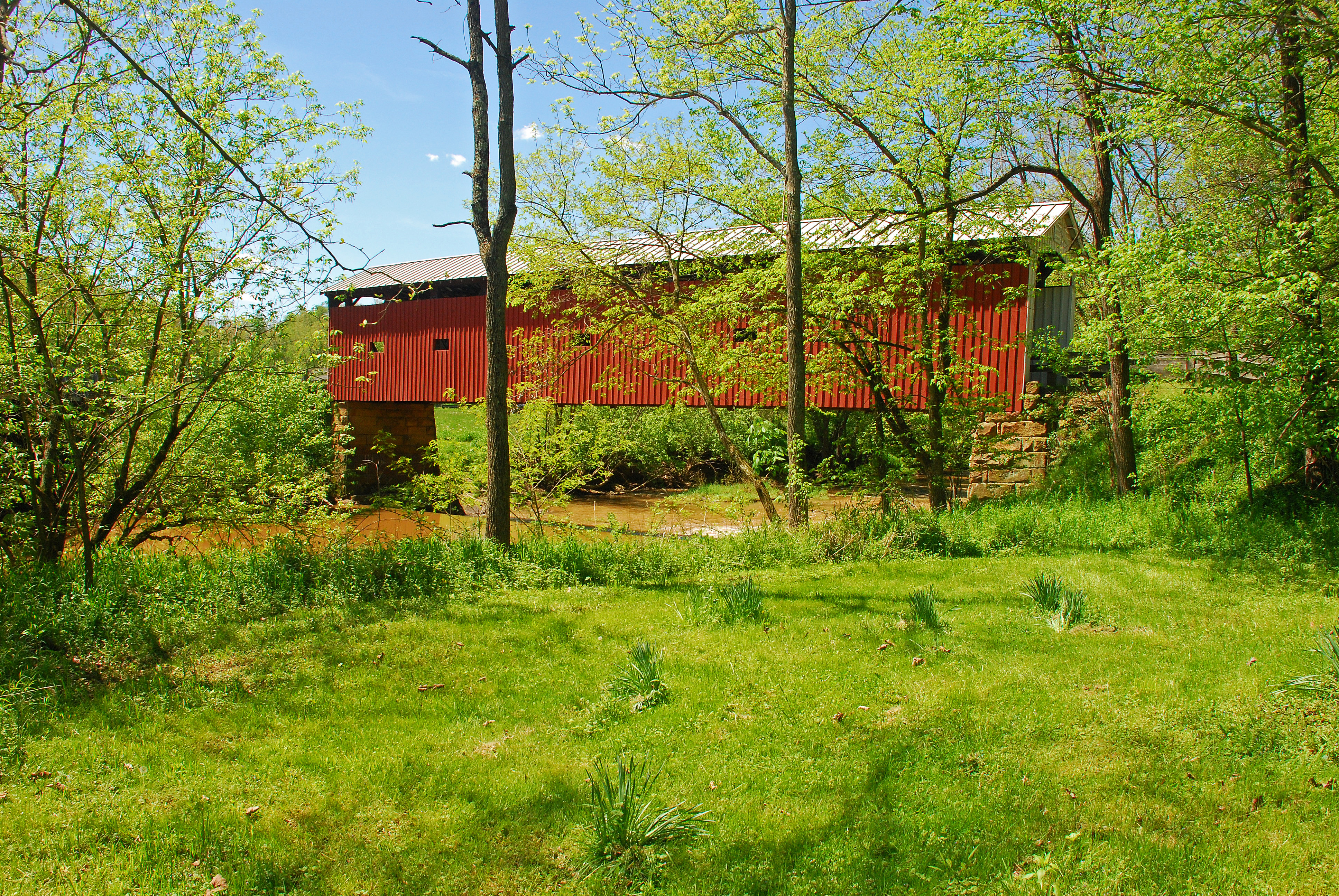
Harra Covered Bridge Spring View
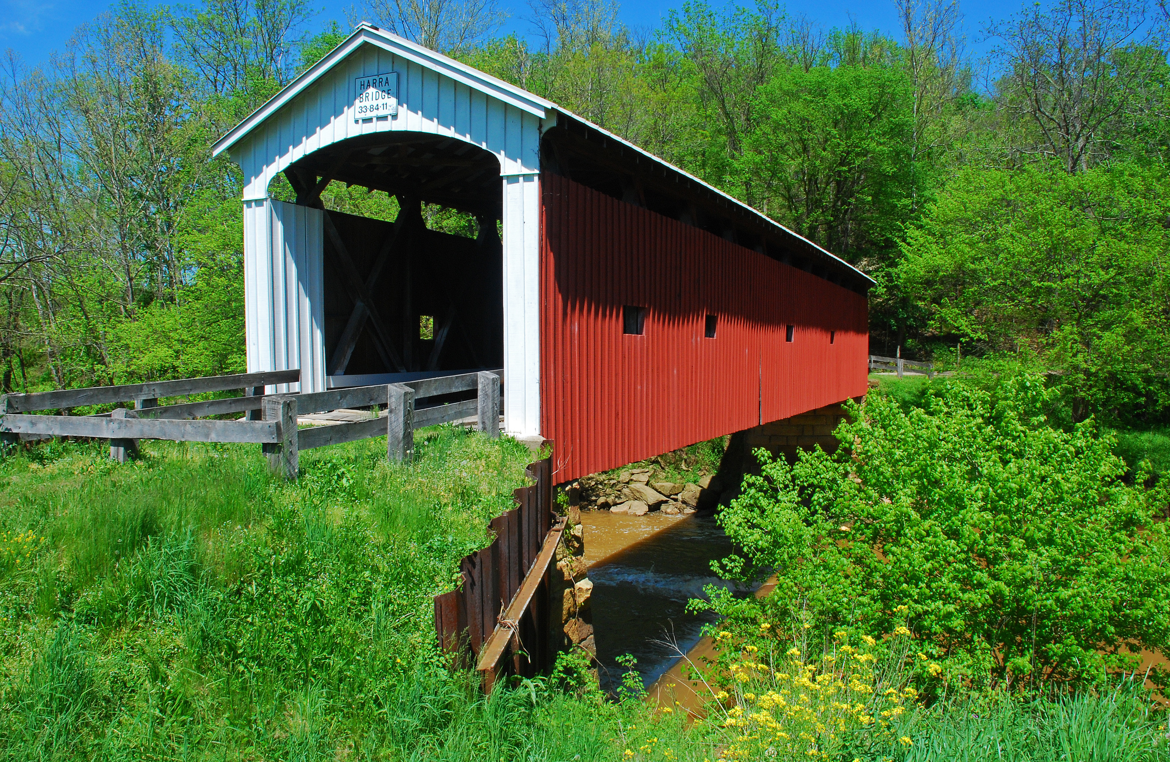
Harra Covered Bridge Spring View

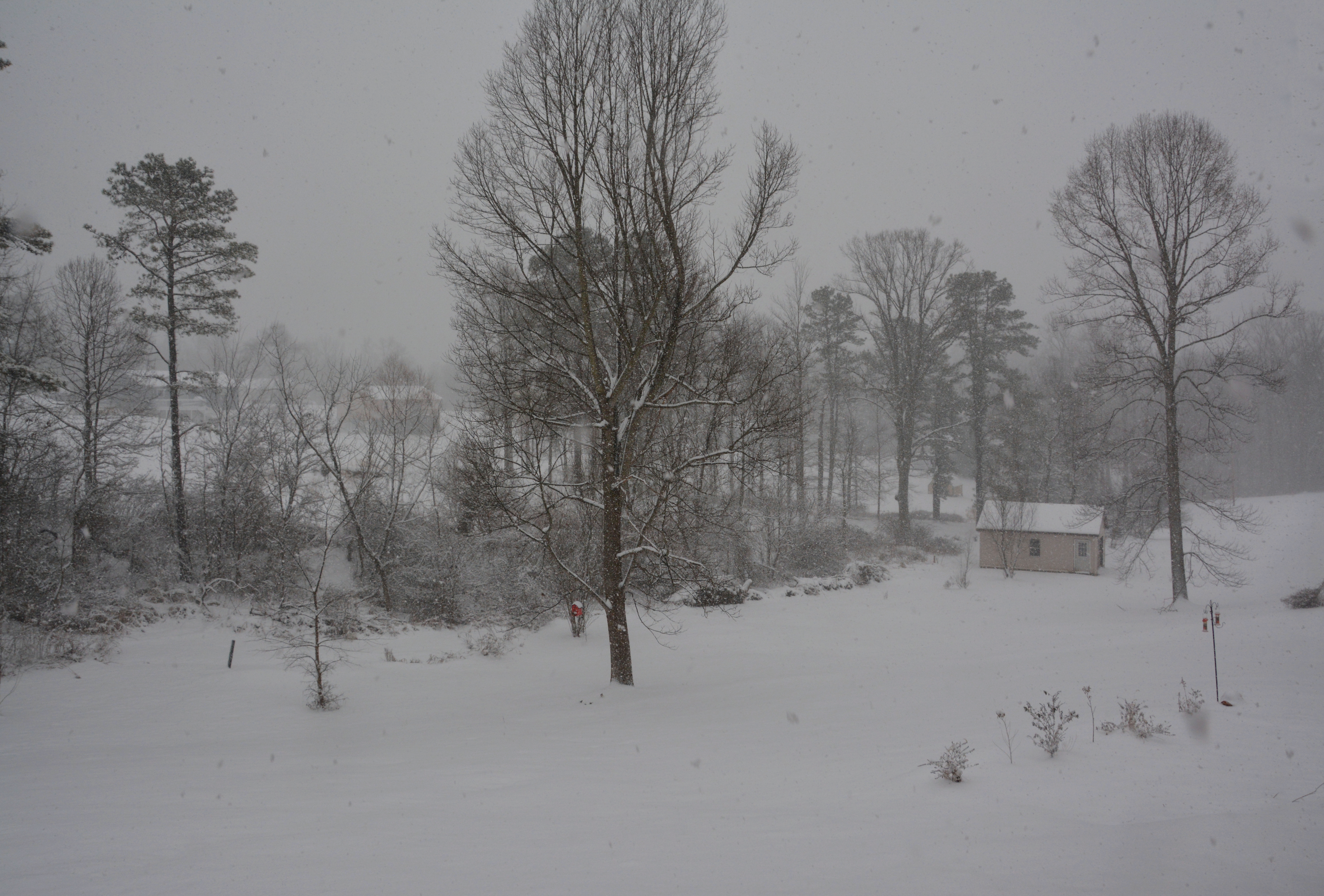
First Snow

Warren Chapel Road Fall Landscape

Tornes Road Fall Landscape
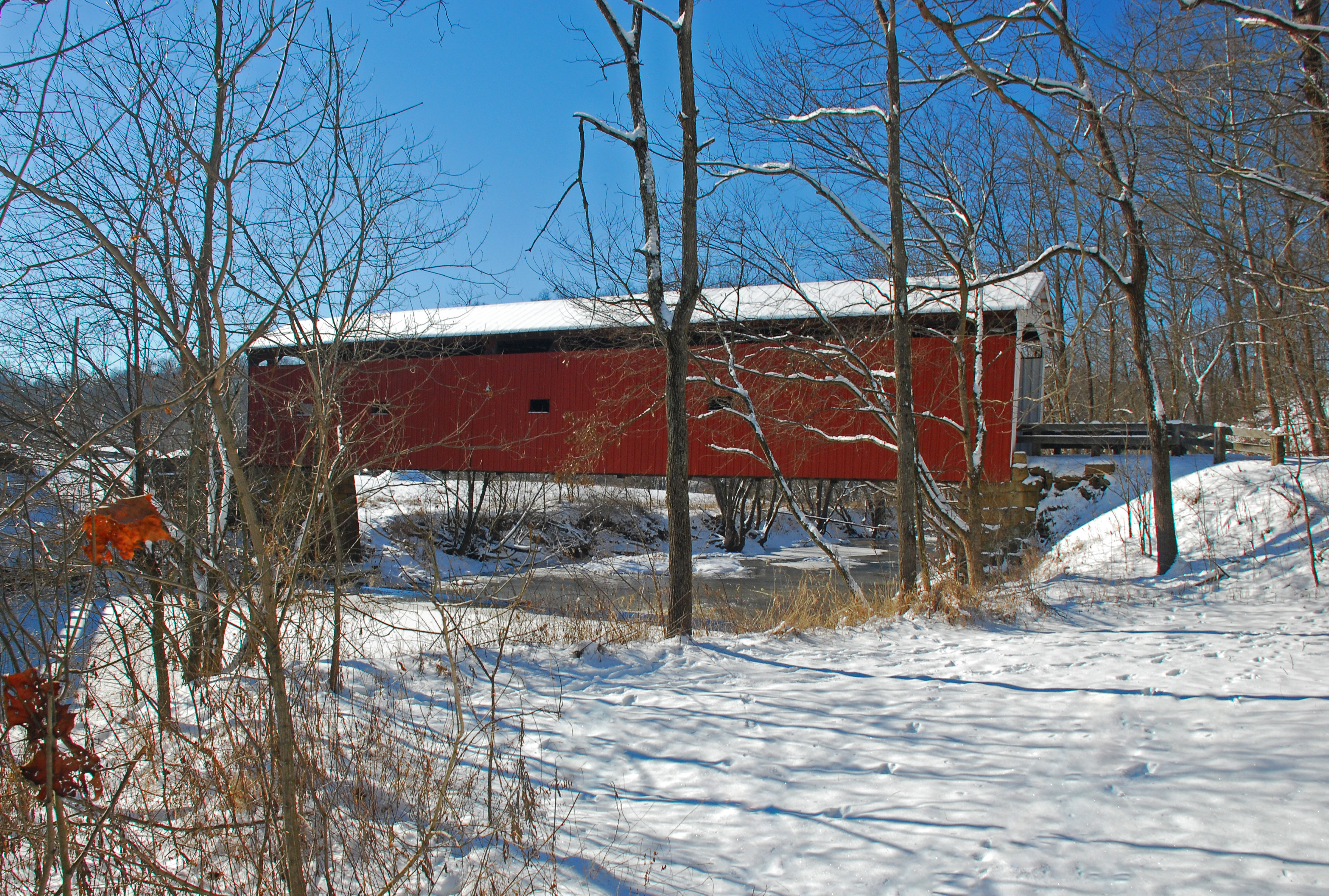
Harra Covered Bridge Winter View
Tornes Road Fall Landscape
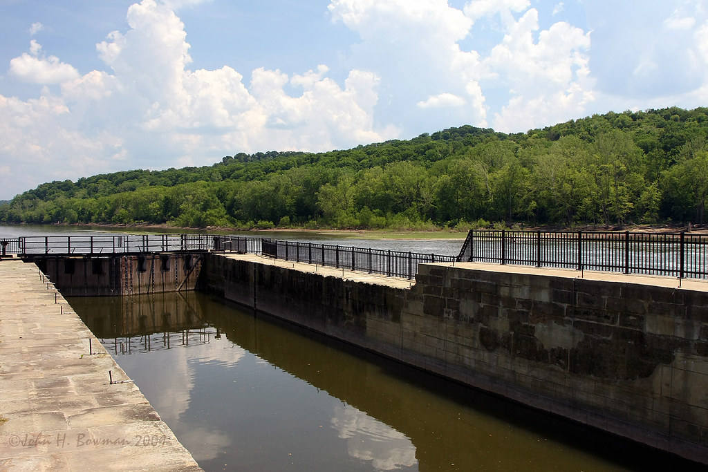
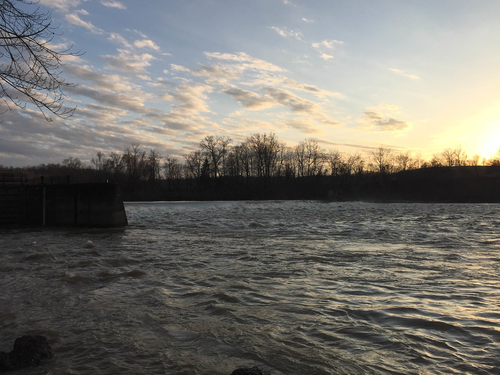
Devola lock - Muskingum River, Ohio
Christy Road Spring Landscape

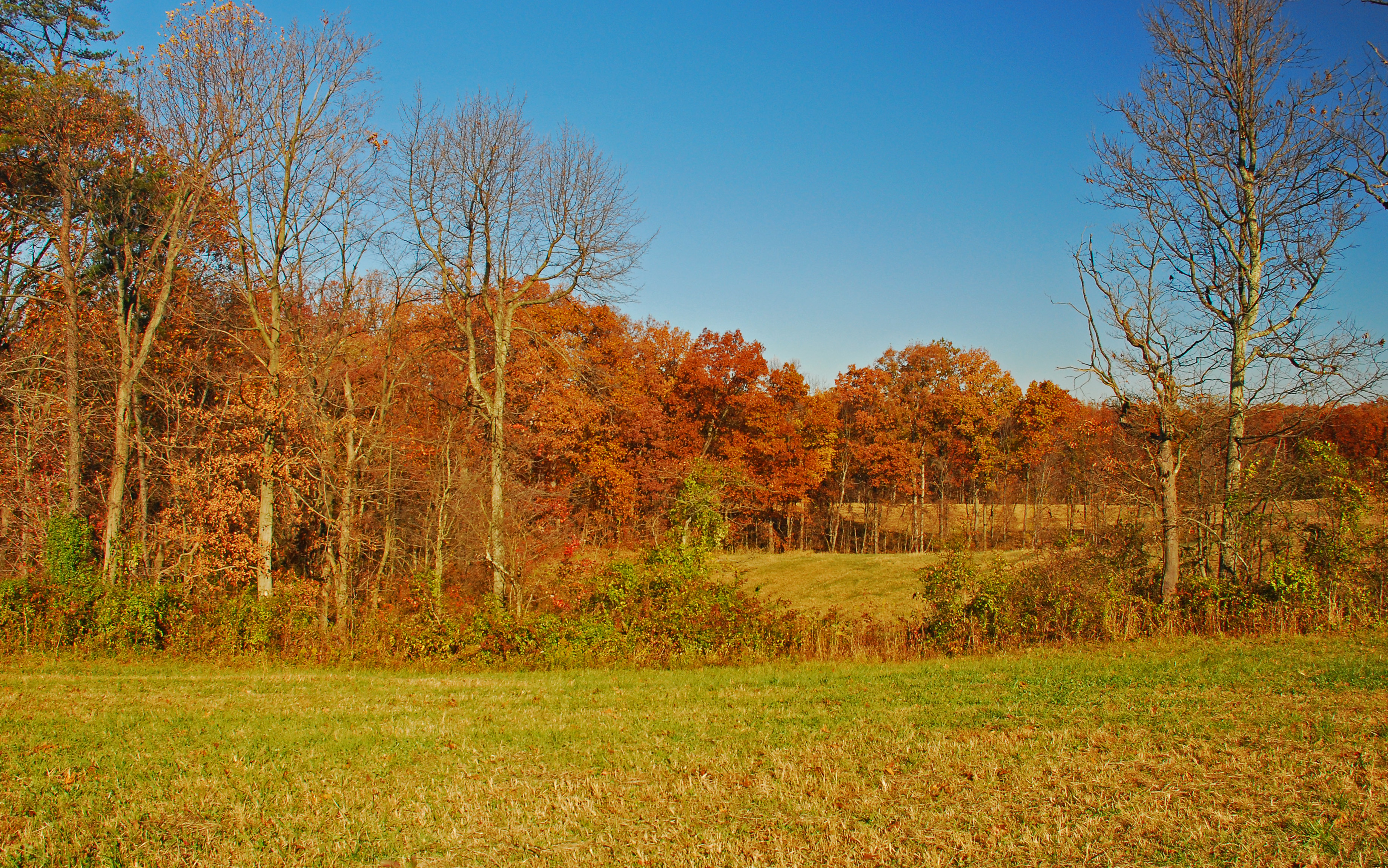
Autumn Landscape

Churchtown Fall Landscape

Churchtown Fall Landscapes

May Landscape

Late Fall Color in Churchtown Ohio

Olinn Road Fall Landscape
December 2010 Snowacape

Fall Landscape
Rummer Road fall Colors
Luke Chute Lock & Dam #5
Late Fall Color in Churchtown Ohio
Late Fall Color in Churchtown Ohio

Churchtown Fall Landscape

Lang Ridge Road Fall Landscape

Red Spotted Purple Butterfly

Mid Oct Fall Landscape

Fall Landscape

Autumn Landscape

Churchtown Fall Landscape
Rainbow Road Fall Landscape
Topographic Map of Waterford, OH, USA
Find elevation by address:

Places in Waterford, OH, USA:
Places near Waterford, OH, USA:
20 Windy Point Dr
900 Beebe Rd
871 Mcneal Rd
Waterford Township
1127 Sandridge Rd
2371 Righteous Ridge Rd
Watertown Township
20 Watertown Rd, Waterford, OH, USA
Luke Chute
1856 Pineridge Rd
9510 Oh-676
Creek Rd, Stockport, OH, USA
Windsor Township
Palmer Township
Barlow Township
Oak Hill Road
2505 Warren Chapel Rd
6139 Mercer Ln
6139 Mercer Ln
Fleming
Recent Searches:
- Elevation of Corso Fratelli Cairoli, 35, Macerata MC, Italy
- Elevation of Tallevast Rd, Sarasota, FL, USA
- Elevation of 4th St E, Sonoma, CA, USA
- Elevation of Black Hollow Rd, Pennsdale, PA, USA
- Elevation of Oakland Ave, Williamsport, PA, USA
- Elevation of Pedrógão Grande, Portugal
- Elevation of Klee Dr, Martinsburg, WV, USA
- Elevation of Via Roma, Pieranica CR, Italy
- Elevation of Tavkvetili Mountain, Georgia
- Elevation of Hartfords Bluff Cir, Mt Pleasant, SC, USA