Elevation of Oakridge Rd, Gresham, SC, USA
Longitude: -79.389156
Latitude: 33.9041572
Elevation: 17m / 56feet
Barometric Pressure: 101KPa
Elevation Map:
Satellite Map:
Related Photos:
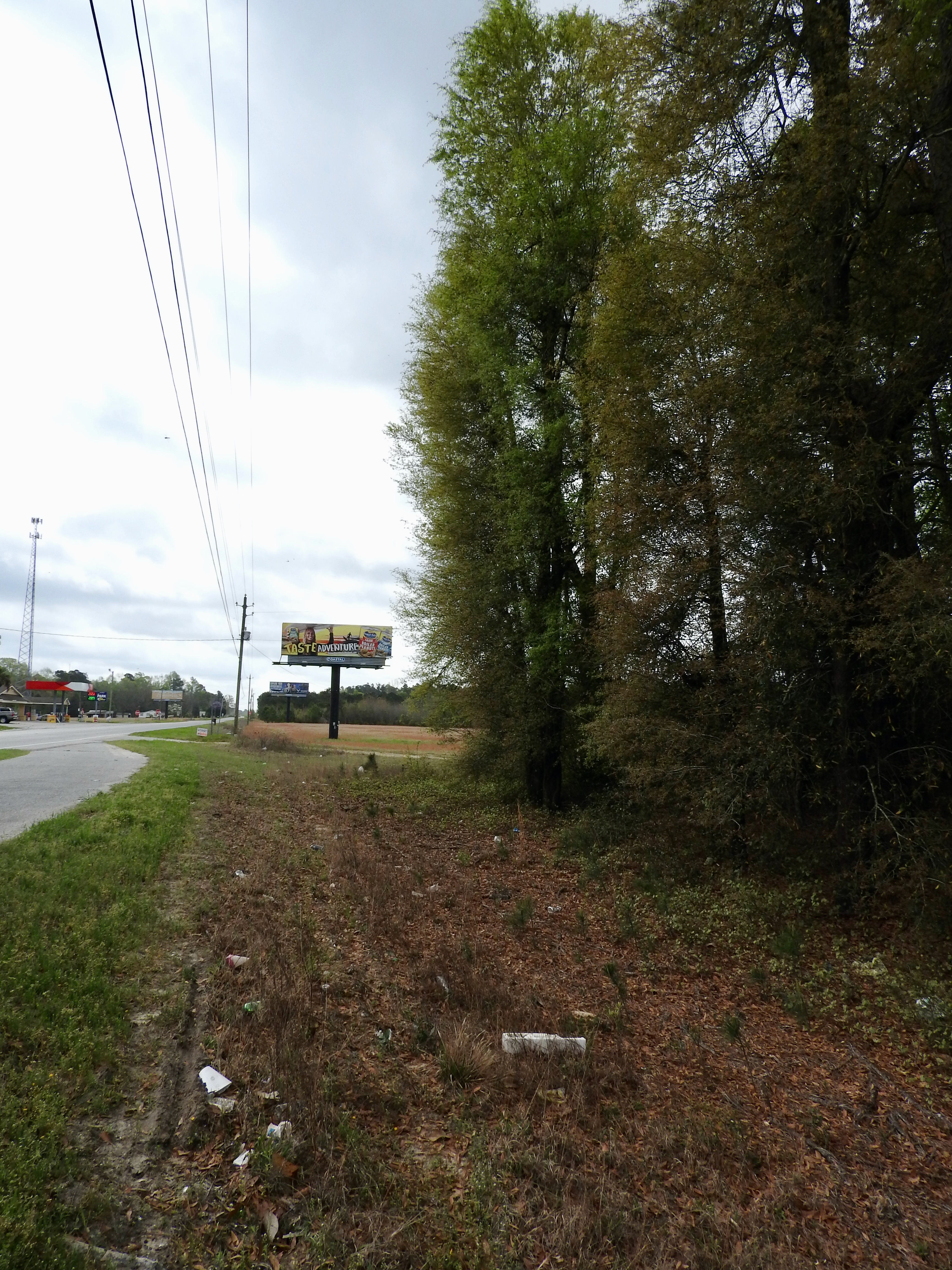
Marion's Camp

2021.04.23.1212.D850 The Skinning Shed

Odell Venters Landing

Odell Venters Landing

Odell Venters Landing

Odell Venters Landing

Odell Venters Landing

Odell Venters Landing

Marion's Camp

Marion's Camp

Swamp Fox

2020 1221 Johnsville SC RS a

2020 1221 Johnsville SC RS b

2012 VW EOS

Civil War Grave Brittons Neck South Carolina. Old Neck Cemetery est. 1855

Homemade Grave marker from the 1800’s

Flower South Carolina
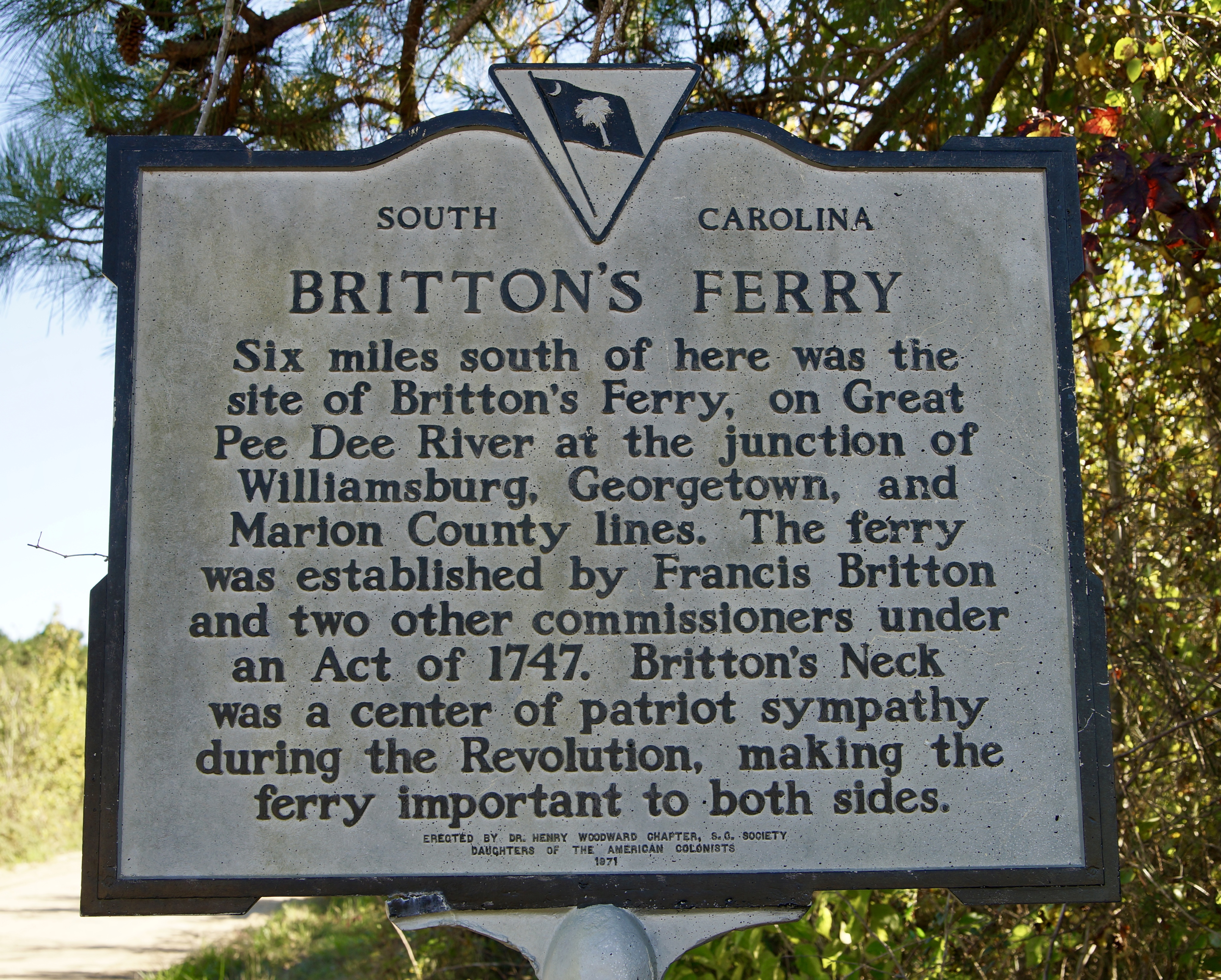
Brittons Ferry. My great great great great grandfather Britton
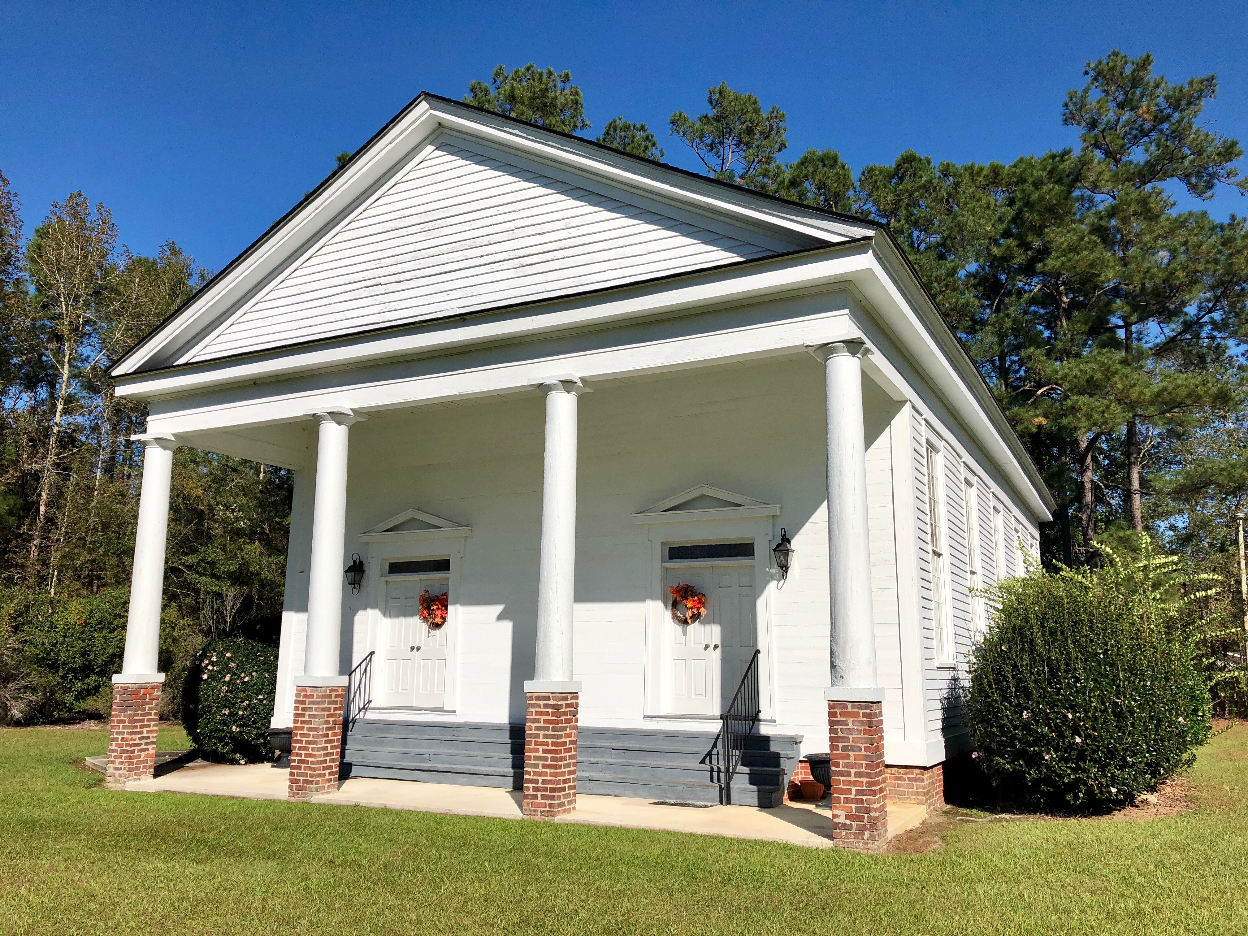
Central United Methodist Church South Carolina 1735

Central United Methodist Church South Carolina 1735

Central United Methodist Church South Carolina 1735
Topographic Map of Oakridge Rd, Gresham, SC, USA
Find elevation by address:

Places near Oakridge Rd, Gresham, SC, USA:
US-, Gresham, SC, USA
416 Paul Richardson Rd
7133 Farm Rd
Brittons Neck
7016 Sc-908
369 Duvall Ct
Johnsonville
Bay Road
8765 Bay Rd
Hemingway
6830 Middleton Rd
6923 Juniper Bay Rd
US-, Conway, SC, USA
Oak Grove Road
Pee Dee Hwy, Conway, SC, USA
Pee Dee Athletic Associates
6075 Us-378
6714 Lundy Short Cut Rd
116 Pumpkin Ash Loop
106 Pumpkin Ash Loop
Recent Searches:
- Elevation of Corso Fratelli Cairoli, 35, Macerata MC, Italy
- Elevation of Tallevast Rd, Sarasota, FL, USA
- Elevation of 4th St E, Sonoma, CA, USA
- Elevation of Black Hollow Rd, Pennsdale, PA, USA
- Elevation of Oakland Ave, Williamsport, PA, USA
- Elevation of Pedrógão Grande, Portugal
- Elevation of Klee Dr, Martinsburg, WV, USA
- Elevation of Via Roma, Pieranica CR, Italy
- Elevation of Tavkvetili Mountain, Georgia
- Elevation of Hartfords Bluff Cir, Mt Pleasant, SC, USA