Elevation of US-, Conway, SC, USA
Location: United States > South Carolina > Horry County > Conway >
Longitude: -79.214345
Latitude: 33.8361895
Elevation: 23m / 75feet
Barometric Pressure: 101KPa
Elevation Map:
Satellite Map:
Related Photos:

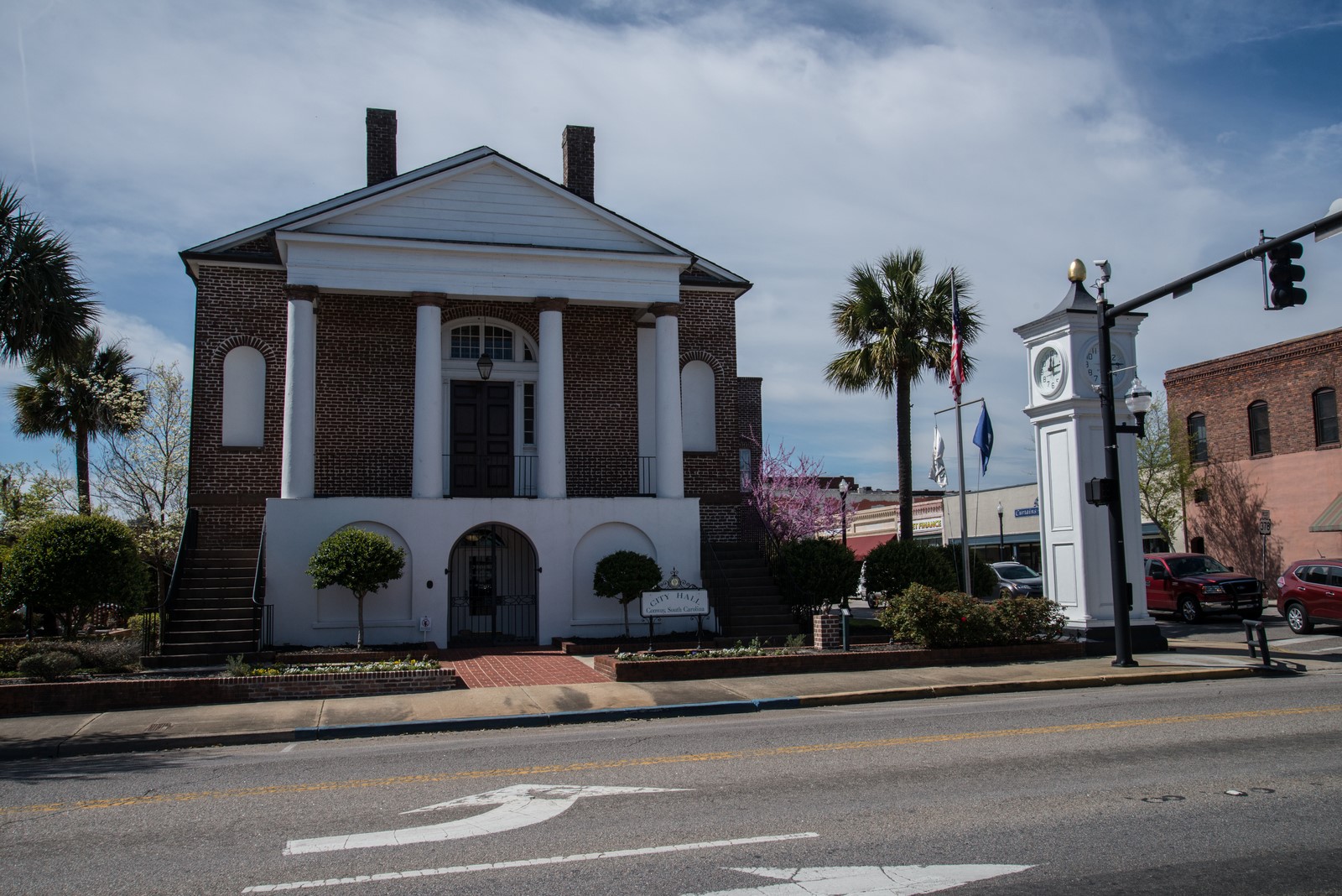
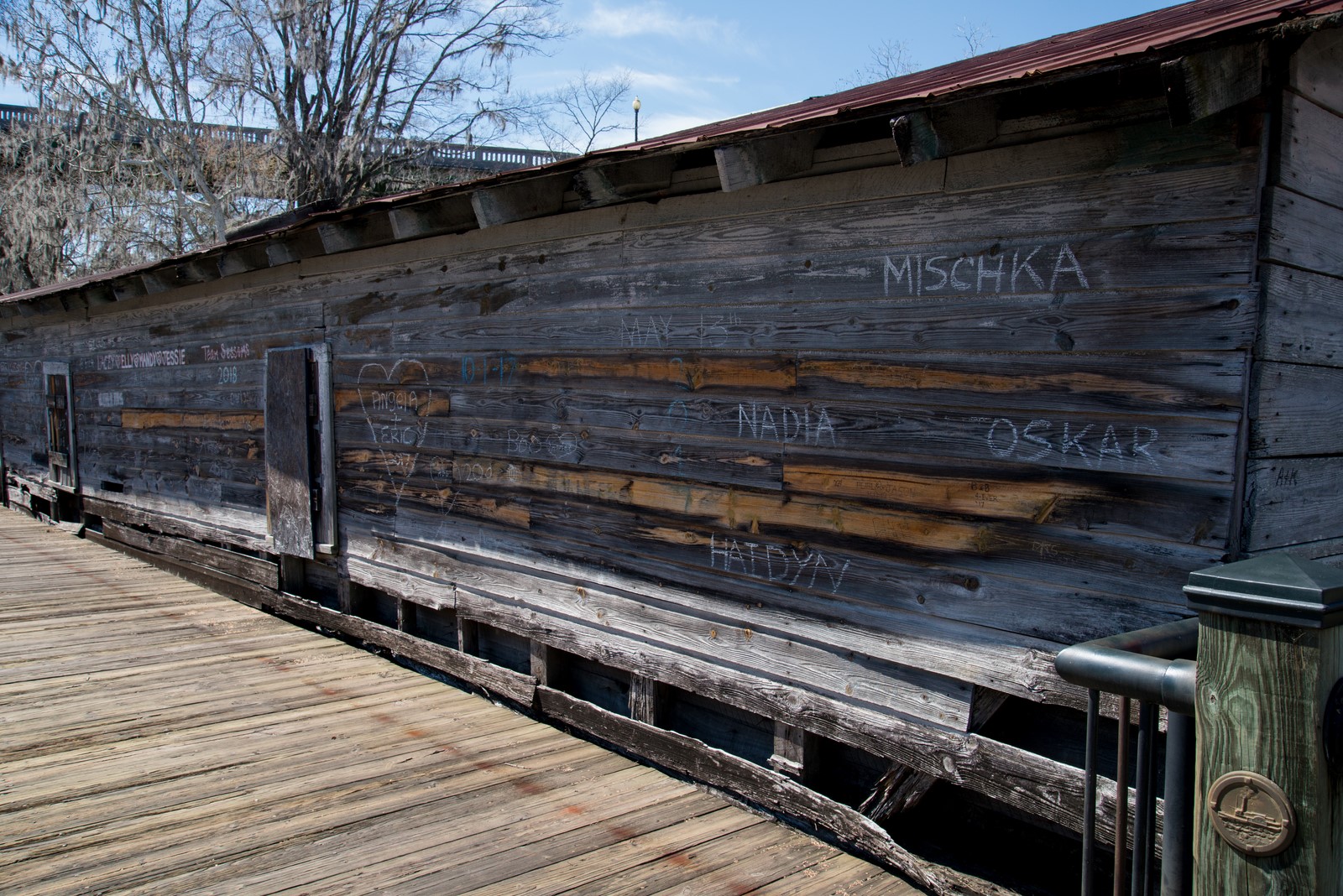
City Hall, Conway, SC
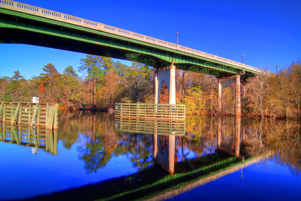
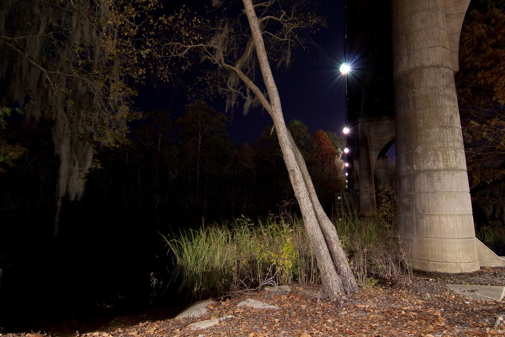
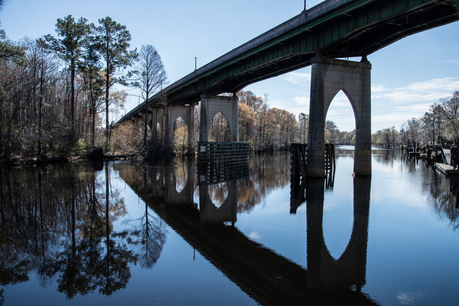
Bridge reflection
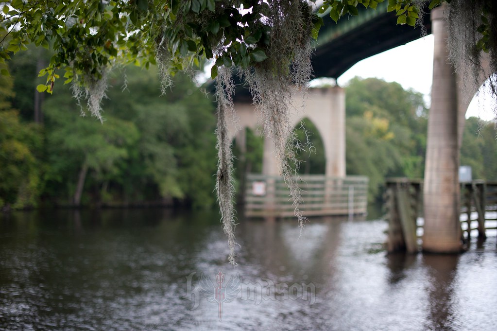
hanging moss
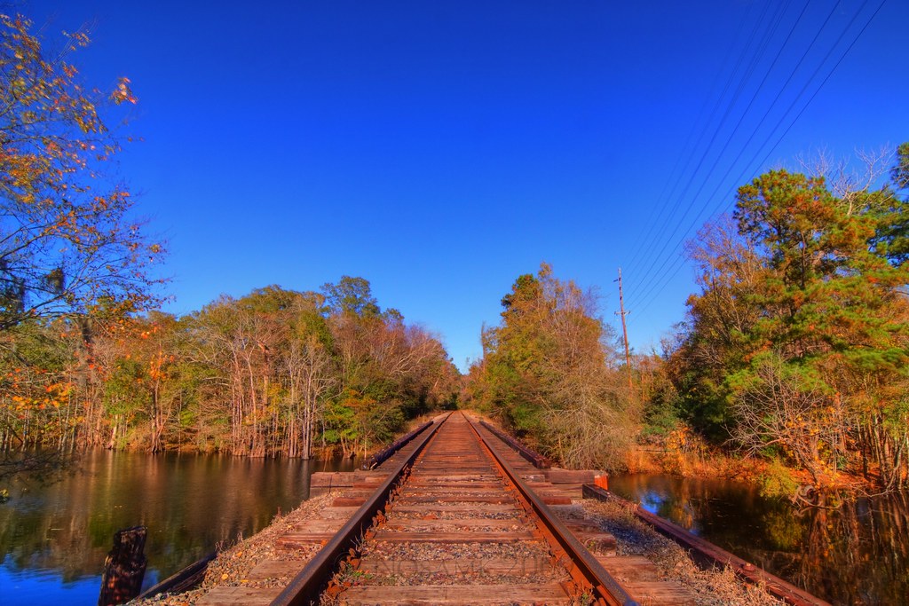
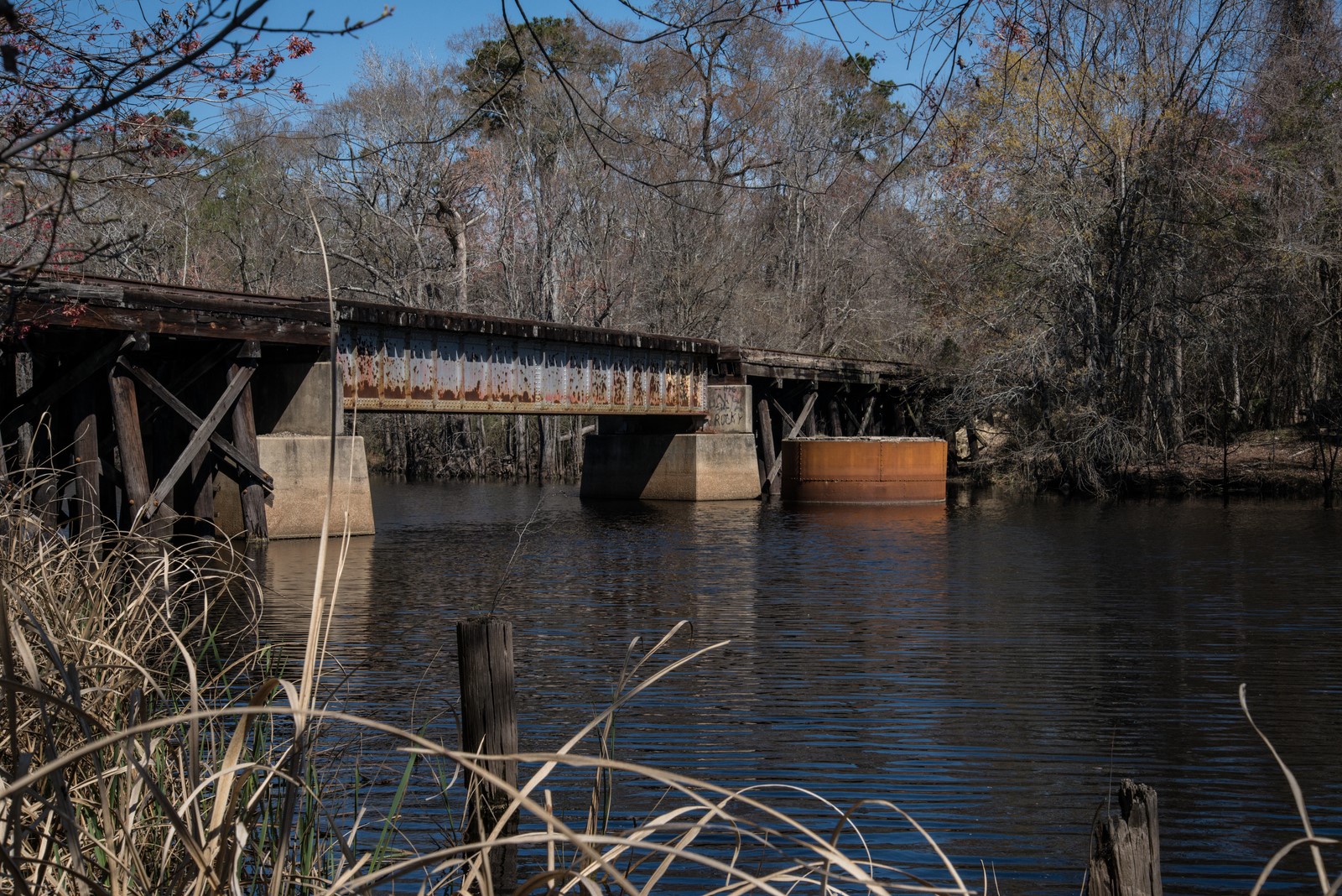
Train Trestle

Baltimore Oriole (Icterus galbula) ♂
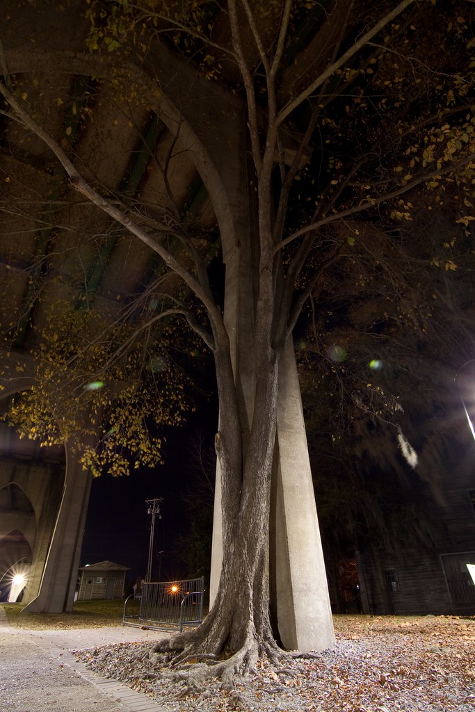
Tree under the bridge
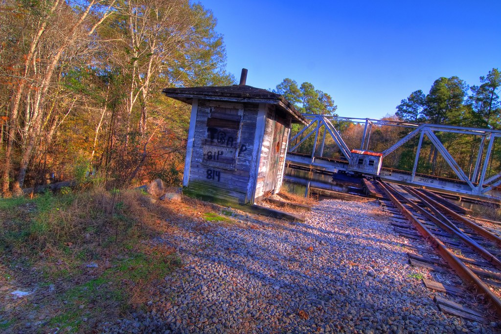
Rotating trestle
Bridge support

Bridge with xmas decorations
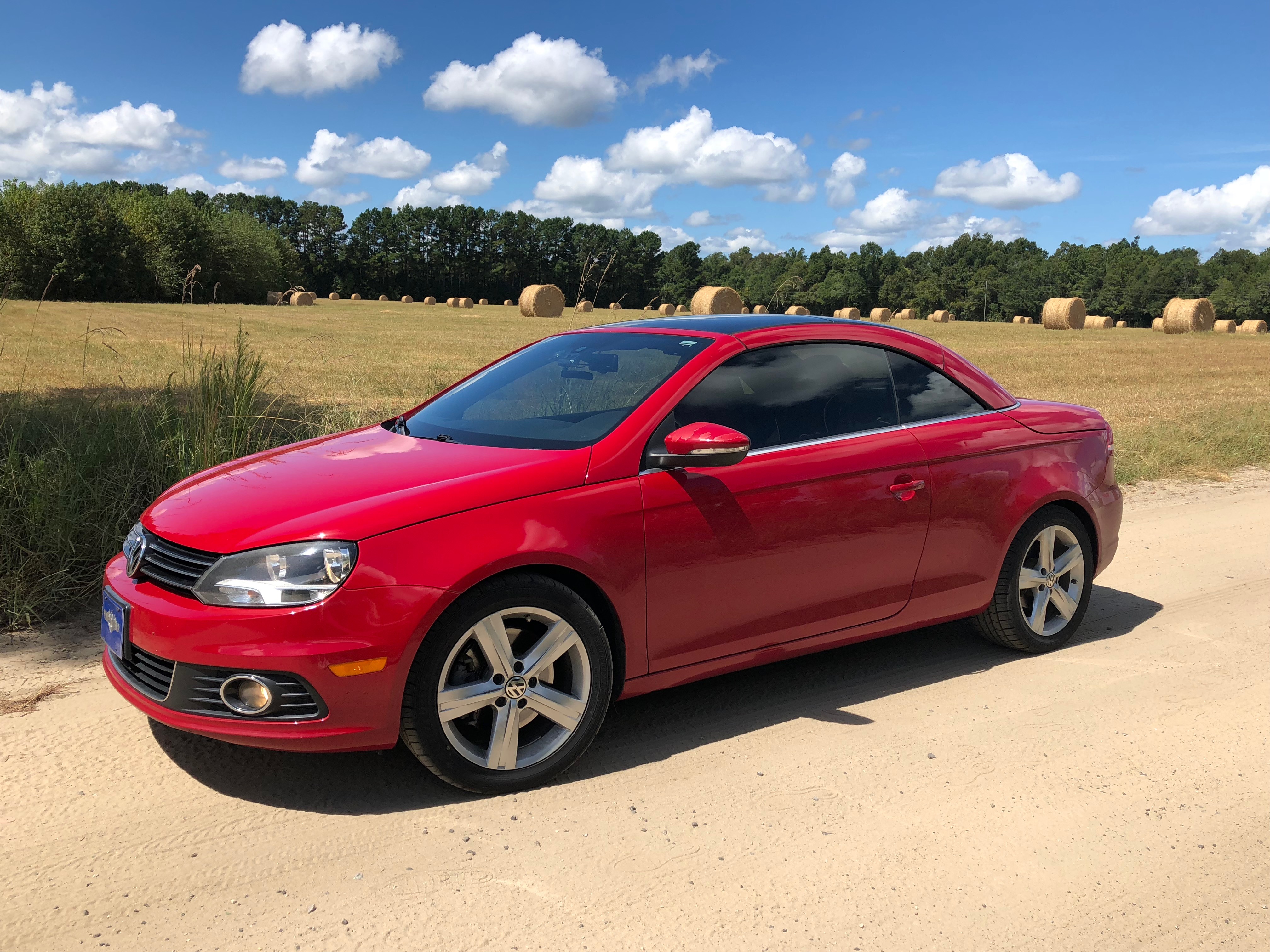
2012 VW EOS

I have a great bit of money on hand, but looking to spend 200 on a cool pair of shoes size 8. Tigers, rulons (except red!), old adidas, Kolats. Hmu
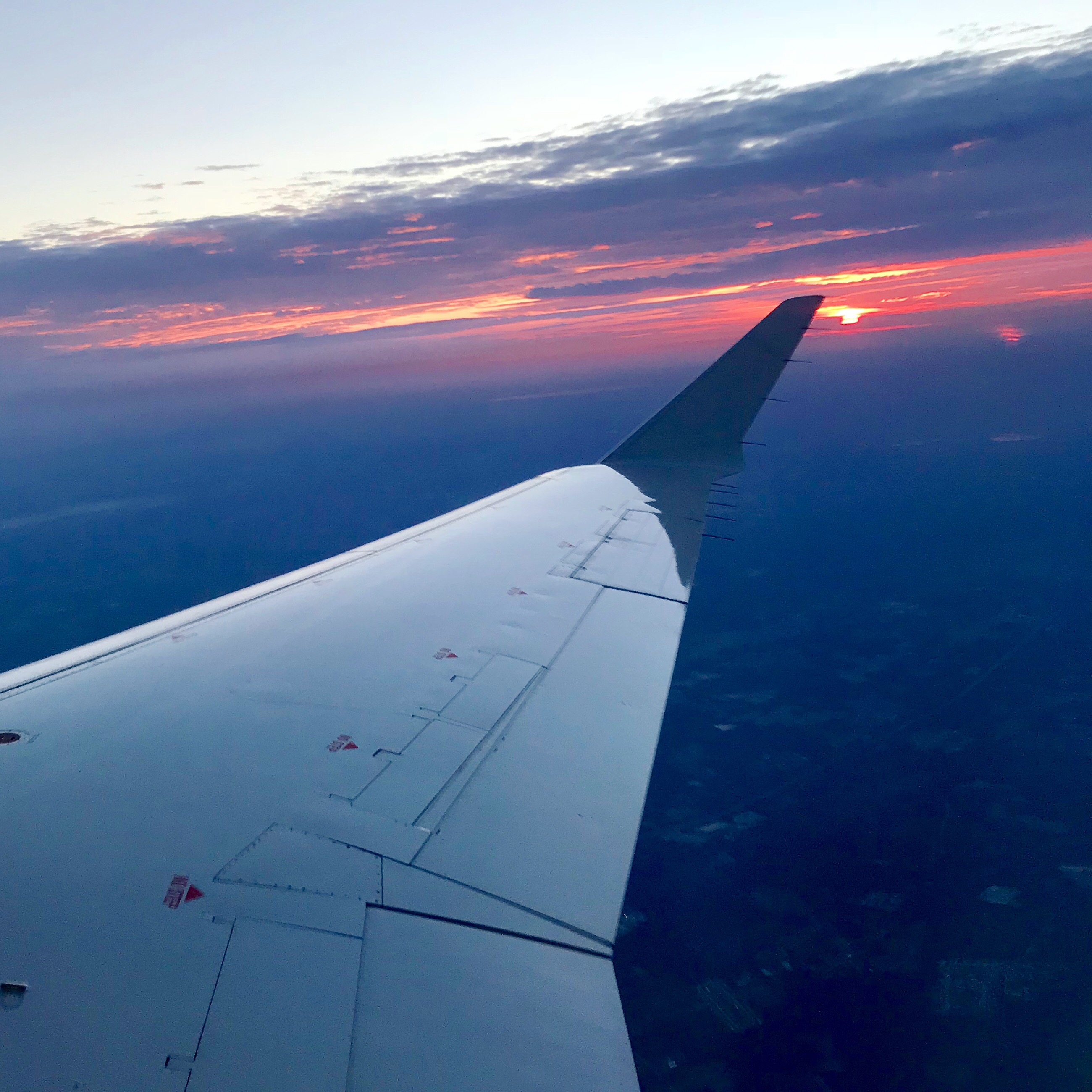
Over Myrtle Beach at sunrise
DSC_5172 (Copy)
Myrtle Beach
Myrtle Beach

Old Raiload Bridge
DSC_5306 (Copy)
DSC_5264 (Copy)
DSC_5269 (Copy)

DSC_5276 (Copy)

DSC_5284 (Copy)
DSC_5290 (Copy)
DSC_5301 (Copy)
DSC_5210 (Copy)

DSC_5197 (Copy)
DSC_5176 (Copy)

DSC_5168 (Copy)
DSC_5215 (Copy)
DSC_5217 (Copy)
DSC_5230 (Copy)
Topographic Map of US-, Conway, SC, USA
Find elevation by address:

Places near US-, Conway, SC, USA:
US-, Conway, SC, USA
Pee Dee Hwy, Conway, SC, USA
Oak Grove Road
116 Pumpkin Ash Loop
106 Pumpkin Ash Loop
Pee Dee Athletic Associates
Antioch Rd, Conway, SC, USA
6030 Ford Taylor Rd
6118 Pee Dee Hwy
6830 Middleton Rd
127 Ole Nobleman Ct
6923 Juniper Bay Rd
5444 Deere Dr
6453 Cates Bay Hwy
Perry St, Conway, SC, USA
6161 Hunting Swamp Rd
6194 Hunting Swamp Rd
5545 Juniper Bay Rd
6087 State Hwy 135
6270 Lundy Short Cut Rd
Recent Searches:
- Elevation of Corso Fratelli Cairoli, 35, Macerata MC, Italy
- Elevation of Tallevast Rd, Sarasota, FL, USA
- Elevation of 4th St E, Sonoma, CA, USA
- Elevation of Black Hollow Rd, Pennsdale, PA, USA
- Elevation of Oakland Ave, Williamsport, PA, USA
- Elevation of Pedrógão Grande, Portugal
- Elevation of Klee Dr, Martinsburg, WV, USA
- Elevation of Via Roma, Pieranica CR, Italy
- Elevation of Tavkvetili Mountain, Georgia
- Elevation of Hartfords Bluff Cir, Mt Pleasant, SC, USA