Elevation of Pumpkin Ash Loop, Conway, SC, USA

Location: United States > South Carolina > Horry County > Conway >

Longitude: -79.208816

Latitude: 33.8219698

Elevation: -10000m / -32808feet

Barometric Pressure: 295KPa

Elevation Map:

elevation map of Pumpkin Ash Loop, Conway, SC, USA

Satellite Map:

Satellite map of Pumpkin Ash Loop, Conway, SC, USA

Related Photos:

bridge autumn trees reflection green fall sc river conway tripod southcarolina hdr gitzo photomatix 5exposure arcatech tokinaatx116prodx gt2531
Bridge reflection
conwaysc sunset hdr cityhall clocktower downtown smalltown southcarolina
City Hall, Conway, SC
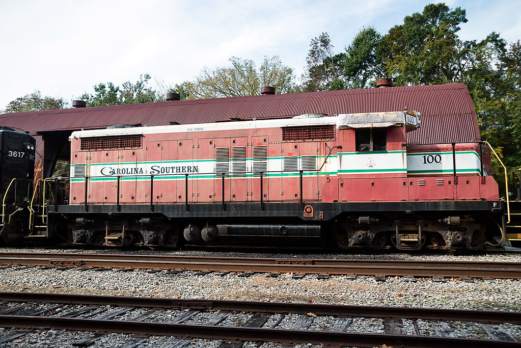
trestle sc train conway tripod southcarolina hdr gitzo photomatix 5exposure arcatech tokinaatx116prodx gt2531
Train Trestle
winter explore baltimoreoriole yardbird icterusgalbula adultmale ©allrightsreserved conwaysouthcarolina southcarolinabirds
Baltimore Oriole (Icterus galbula) ♂
trestle sc train conway tripod tracks southcarolina hdr gitzo photomatix 5exposure arcatech tokinaatx116prodx gt2531
Rotating trestle
longexposure bridge trees tree sc night lights conway southcarolina tokinaatx116prodx
Bridge support
longexposure sc night downtown conway southcarolina lightstream tokinaatx116prodx
Bridge with xmas decorations
old bridge water reflections river landscape outdoors nikon trains riverwalk conwaync d800e easterncarolinas richstrobel
River Walk
park bridge river
Waccamaw River
trees reflection river landscape gh2 conwaysc waccamawriver 14140mm panasoniclumixgh2 conwayriverwalk
P1130058.jpg
old bridge water reflections river landscape outdoors nikon trains riverwalk conwaync d800e easterncarolinas richstrobel
D800E-4065-Edit
landscape spring outdoor conway riverfront gh2 lunix waccamawriver 14140mm lumixgh2
P1070015.jpg
trees reflection river landscape fallcolors gh2 conwaysc waccamawriver 14140mm panasoniclumixgh2 conwayriverwalk
P1130036.jpg
old bridge water reflections river landscape outdoors nikon trains riverwalk conwaync d800e easterncarolinas richstrobel
D800E-4010-Edit
fireinsky sunset storm clouds sky orange
Sunset at tail end of storm.
old bridge water reflections river landscape outdoors nikon trains riverwalk conwaync d800e easterncarolinas richstrobel
D800E-4004-Edit
old bridge water reflections river landscape outdoors nikon trains riverwalk conwaync d800e easterncarolinas richstrobel
D800E-4036-Edit
old bridge water reflections river landscape outdoors nikon trains riverwalk conwaync d800e easterncarolinas richstrobel
D800E-4037-Edit
trees fallcolors gh2 conwaysc waccamawriver 14140mm panasoniclumixgh2 conwayriverwalk
P1130043.jpg
old bridge water reflections river landscape outdoors nikon trains riverwalk conwaync d800e easterncarolinas richstrobel
D800E-4063-Edit
old bridge water reflections river landscape outdoors nikon trains riverwalk conwaync d800e easterncarolinas richstrobel
D800E-4050-Edit
old bridge water reflections river landscape outdoors nikon trains riverwalk conwaync d800e easterncarolinas richstrobel
D800E-4043-Edit
old bridge water reflections river landscape outdoors nikon trains riverwalk conwaync d800e easterncarolinas richstrobel
D800E-4014-Edit
old bridge water reflections river landscape outdoors nikon trains riverwalk conwaync d800e easterncarolinas richstrobel
D800E-4047-Edit
old bridge water reflections river landscape outdoors nikon trains riverwalk conwaync d800e easterncarolinas richstrobel
D800E-4059-Edit
trees reflection river landscape fallcolors gh2 conwaysc waccamawriver 14140mm panasoniclumixgh2 conwayriverwalk
P1130029.jpg
old bridge water reflections river landscape outdoors nikon trains riverwalk conwaync d800e easterncarolinas richstrobel
D800E-4011-Edit
old bridge water reflections river landscape outdoors nikon trains riverwalk conwaync d800e easterncarolinas richstrobel
D800E-4041-Edit