Elevation of NS-, Maitland, NS B0N 1T0, Canada
Location: Canada > Nova Scotia > Hants County > East Hants >
Longitude: -63.560709
Latitude: 45.311073
Elevation: -10000m / -32808feet
Barometric Pressure: 295KPa
Elevation Map:
Satellite Map:
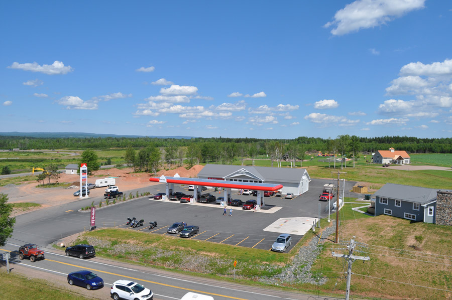
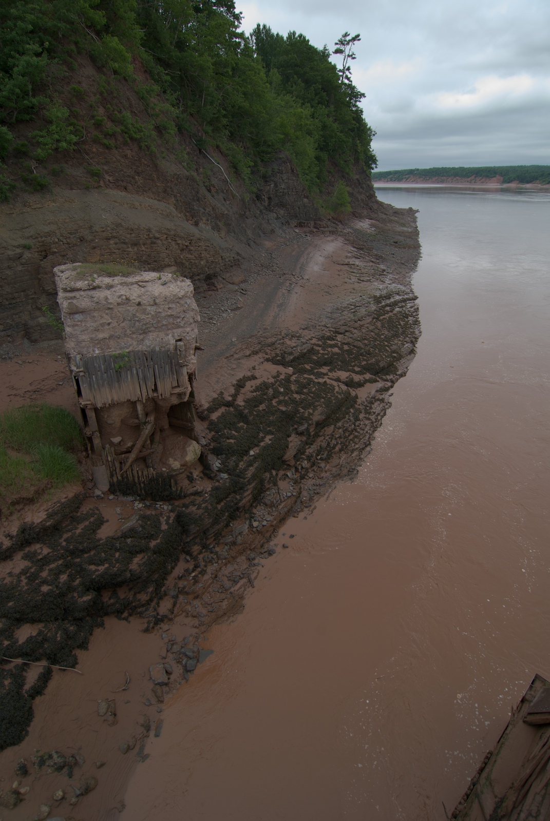
Related Photos:
View from the lighthouse

View from the lighthouse

View from the lighthouse

Leasers At Sun Up

Great Village

Cutting hay, Nova Scotia

Lawrence Museum Wetlands

The fish again

Corn Field

Shubenacadie river vor der flutwelle

Footprints in the sand

Early morning, Cobequid Bay

Wentworth Falls

Black Rock

Shubenacadie River

mit der welle kommen auch die rafter
Shubenacadie River

Tidal Bore in Full Effect

Black Rock

Kanada 2017
Topographic Map of NS-, Maitland, NS B0N 1T0, Canada
Find elevation by address:

Places near NS-, Maitland, NS B0N 1T0, Canada:
B0n 1t0
123 Hamilton Ln
Glooscap Trail, Shubenacadie, NS B0N 2H0, Canada
Northfield Rd, Upper Kennetcook, NS B0N 2L0, Canada
99 Archibald Rd
Upper Kennetcook
Beaver Brook
Plains Rd, Debert, NS B0M 1G0, Canada
47 Lockheed Crescent
Folly Mountain
Debert
Portapique
NS-, Old Barns, NS B6L 1N6, Canada
Lornevale
Highway 104
Lightbody Road
Kennetcook
NS-, Kennetcook, NS B0N 1P0, Canada
Admiral Rock
Cobequid Pass Toll Plaza
Recent Searches:
- Elevation of Corso Fratelli Cairoli, 35, Macerata MC, Italy
- Elevation of Tallevast Rd, Sarasota, FL, USA
- Elevation of 4th St E, Sonoma, CA, USA
- Elevation of Black Hollow Rd, Pennsdale, PA, USA
- Elevation of Oakland Ave, Williamsport, PA, USA
- Elevation of Pedrógão Grande, Portugal
- Elevation of Klee Dr, Martinsburg, WV, USA
- Elevation of Via Roma, Pieranica CR, Italy
- Elevation of Tavkvetili Mountain, Georgia
- Elevation of Hartfords Bluff Cir, Mt Pleasant, SC, USA