Elevation of Kennetcook, NS B0N, Canada
Location: Canada > Nova Scotia > Hants County > East Hants >
Longitude: -63.721297
Latitude: 45.1778959
Elevation: 40m / 131feet
Barometric Pressure: 101KPa
Elevation Map:
Satellite Map:
Related Photos:
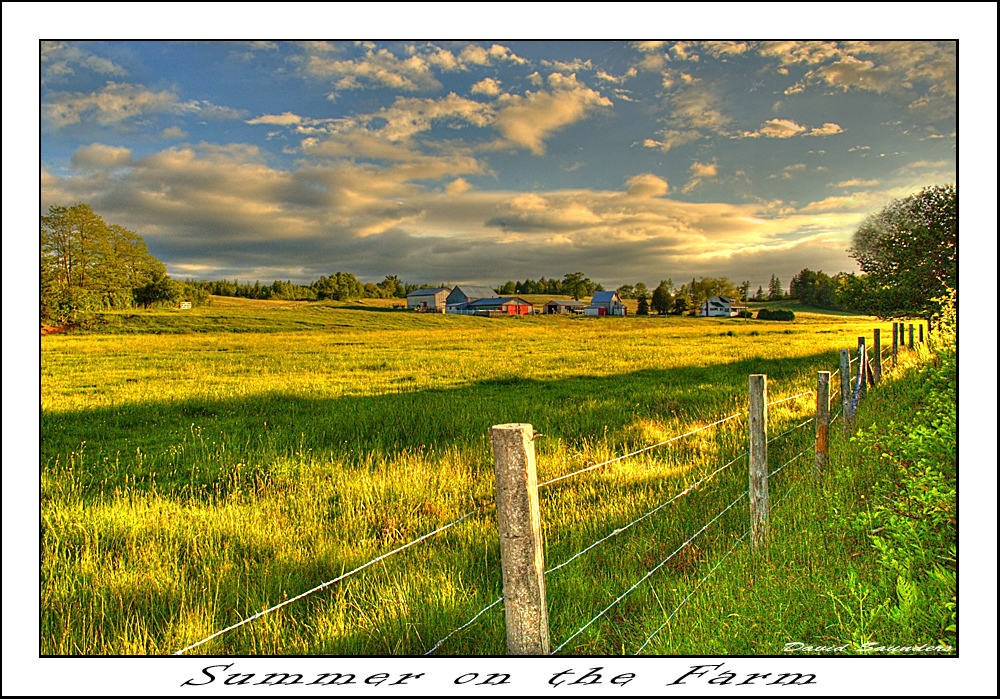
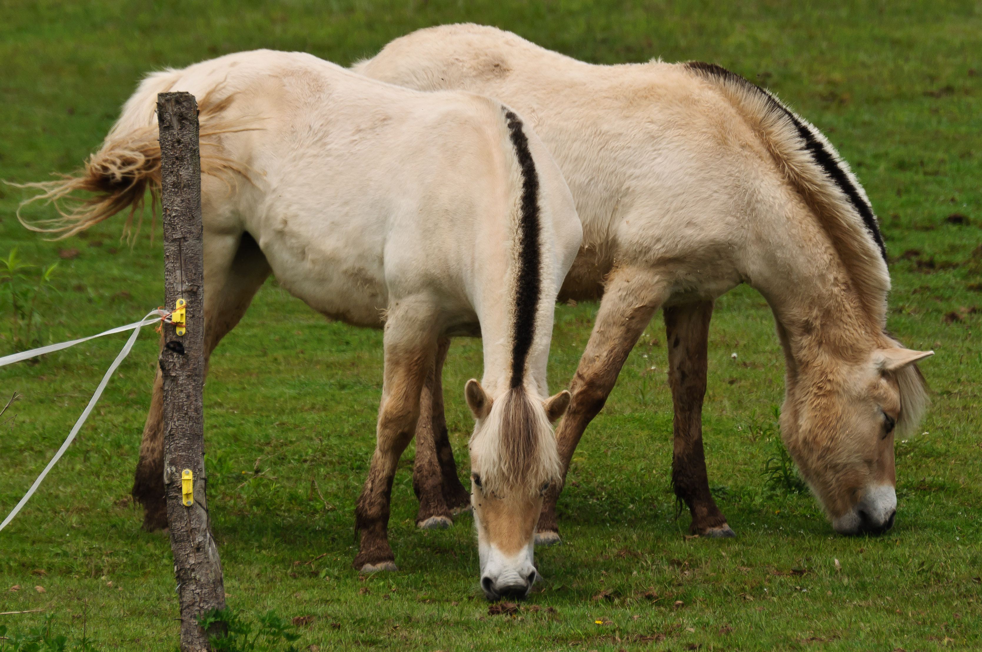
Summer on the Farm
Hants County, NS
Hants County, NS
Rawdon Gold Mines, NS
West Gore, NS
Courthouse Hill
Rawdon Gold Mines, NS
Hants County, NS
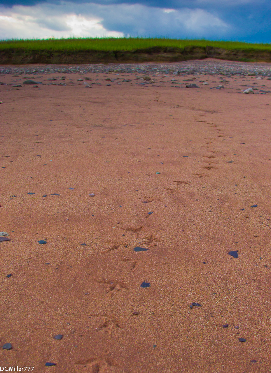
Footprints in the sand
_DSC9859.jpg

_C060041-Edit

_C060042-Edit
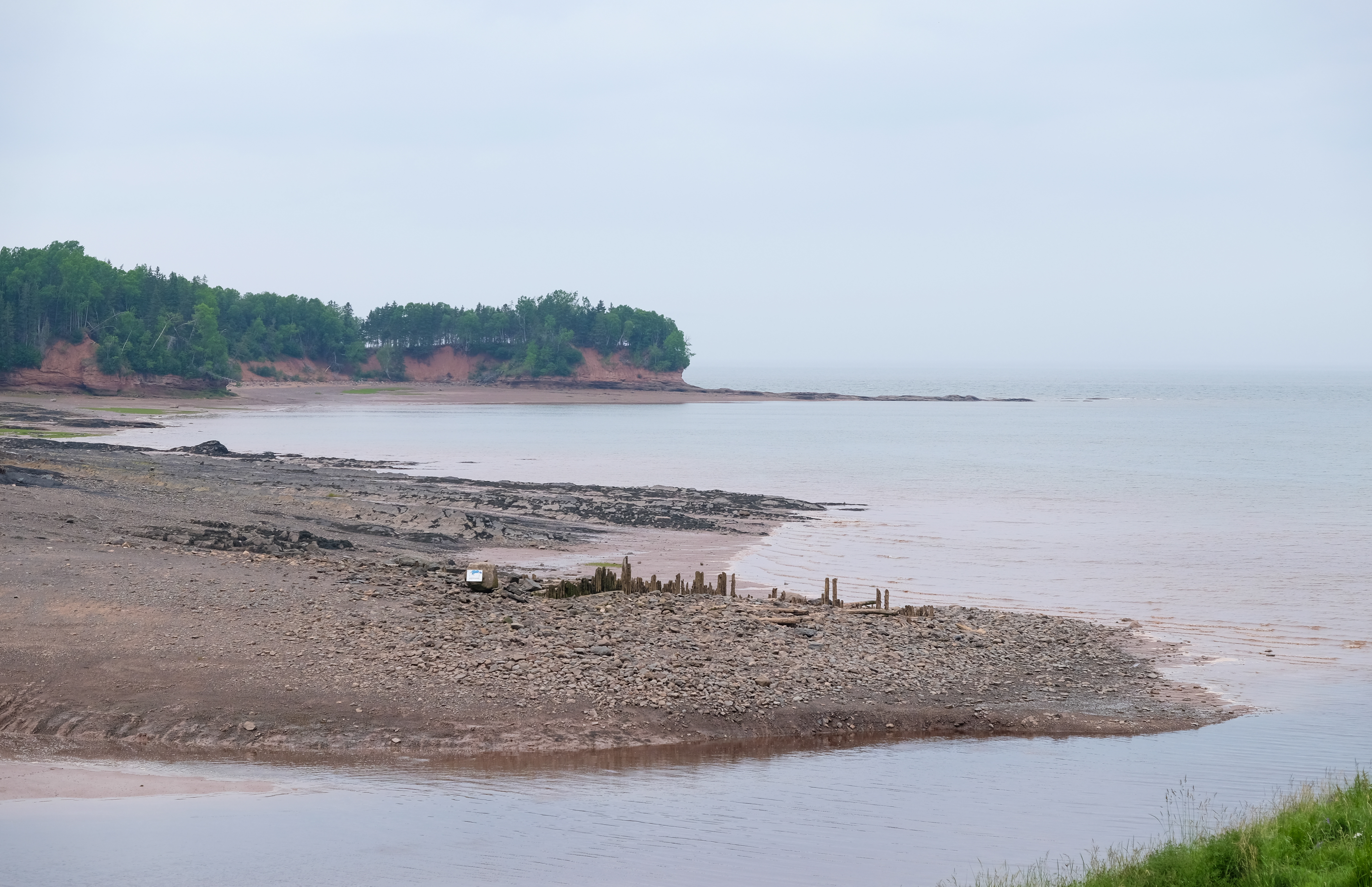
Low tide, Bay of Fundy

_C060046-EditBW
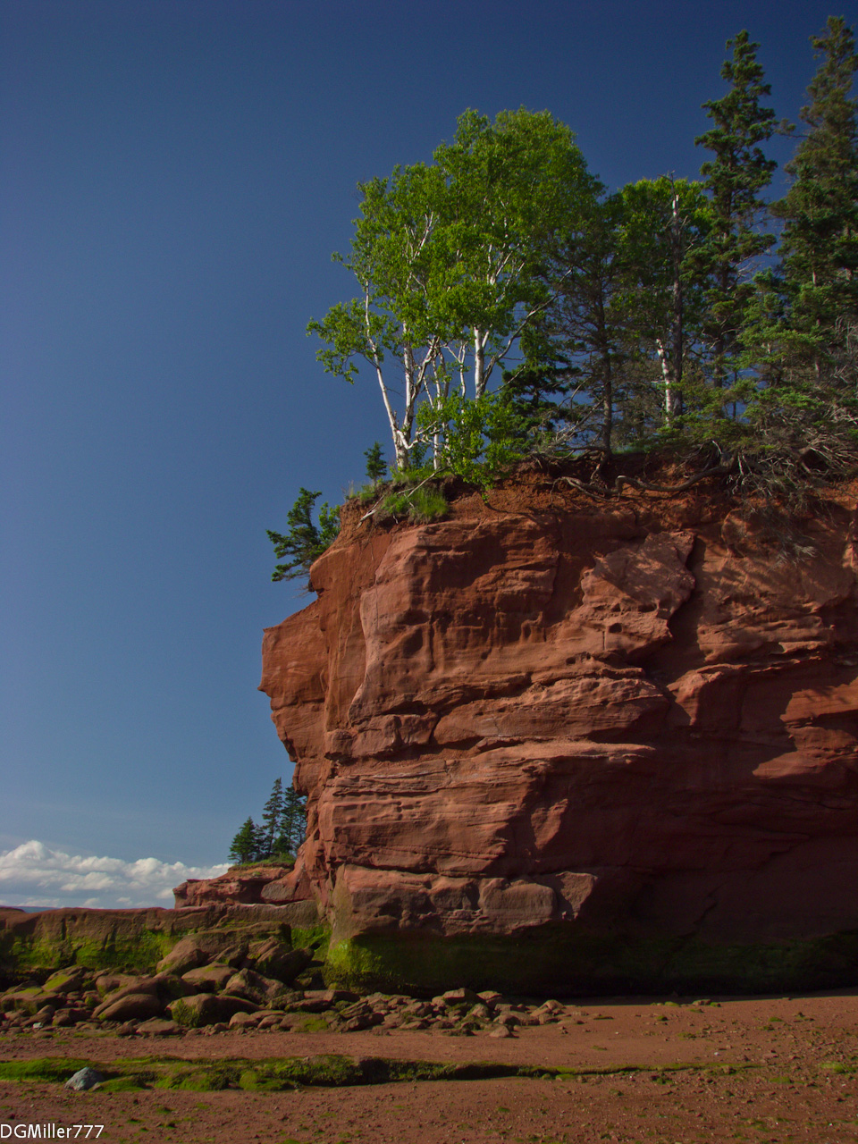
Red, White and Blue
Topographic Map of Kennetcook, NS B0N, Canada
Find elevation by address:

Places in Kennetcook, NS B0N, Canada:
Places near Kennetcook, NS B0N, Canada:
NS-, Kennetcook, NS B0N 1P0, Canada
Upper Kennetcook
Northfield Rd, Upper Kennetcook, NS B0N 2L0, Canada
4628 Nova Scotia Trunk 14
123 Hamilton Ln
East Hants
B0n 1t0
Highway 215
7877 Ns-215
181 Cross 2 Rd
Hants County
Portapique
Quarry Road
Quarry Road
663 Cross 3 Rd
Colchester, Subd. A
Glooscap Trail, Shubenacadie, NS B0N 2H0, Canada
Walton
Lornevale
Highway 104
Recent Searches:
- Elevation of Corso Fratelli Cairoli, 35, Macerata MC, Italy
- Elevation of Tallevast Rd, Sarasota, FL, USA
- Elevation of 4th St E, Sonoma, CA, USA
- Elevation of Black Hollow Rd, Pennsdale, PA, USA
- Elevation of Oakland Ave, Williamsport, PA, USA
- Elevation of Pedrógão Grande, Portugal
- Elevation of Klee Dr, Martinsburg, WV, USA
- Elevation of Via Roma, Pieranica CR, Italy
- Elevation of Tavkvetili Mountain, Georgia
- Elevation of Hartfords Bluff Cir, Mt Pleasant, SC, USA