Elevation of Glooscap Trail, Shubenacadie, NS B0N 2H0, Canada
Location: Canada > Nova Scotia > Hants County > East Hants > Shubenacadie >
Longitude: -63.472934
Latitude: 45.2534073
Elevation: 19m / 62feet
Barometric Pressure: 101KPa
Elevation Map:
Satellite Map:
Related Photos:
On the Road 2of2 (20080512-113714-PJG)
and the clouds blow in
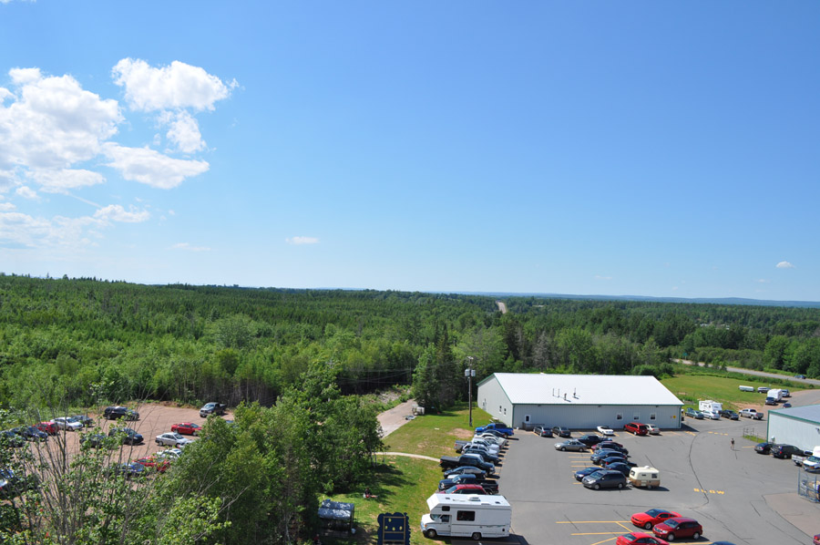
View from the lighthouse

View from the lighthouse
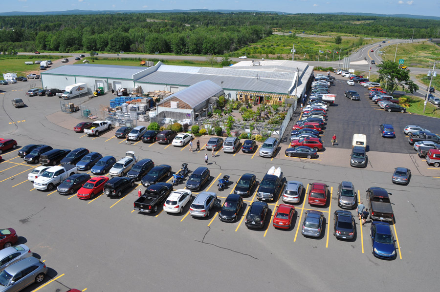
View from the lighthouse

View from the lighthouse

Haunted house on the hill?
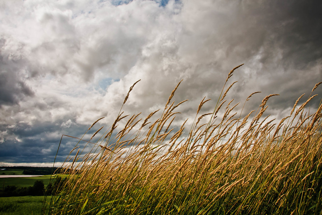
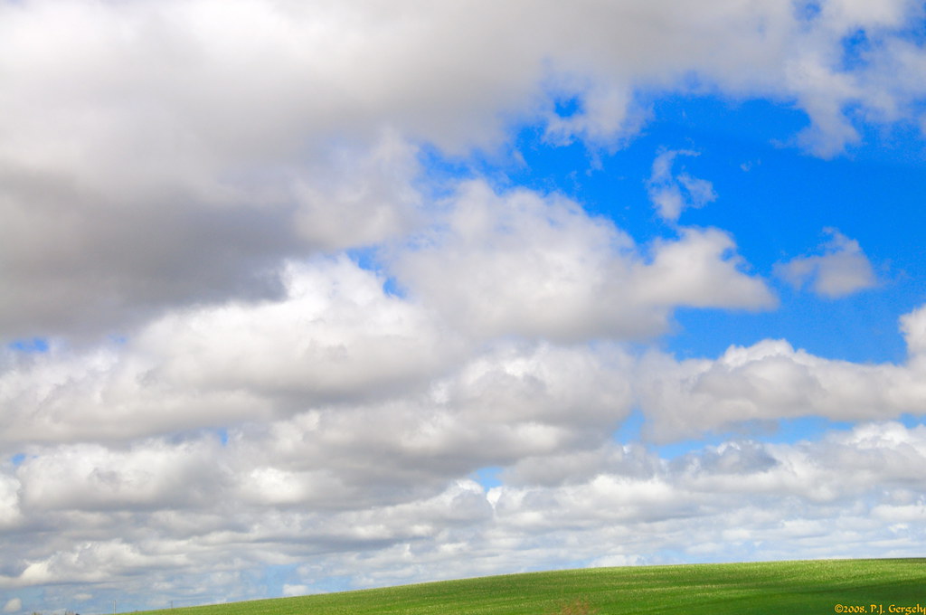
Clouds and hay
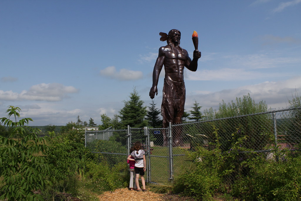
Statue of Glooscap

Lawrence Museum Wetlands
The fish again

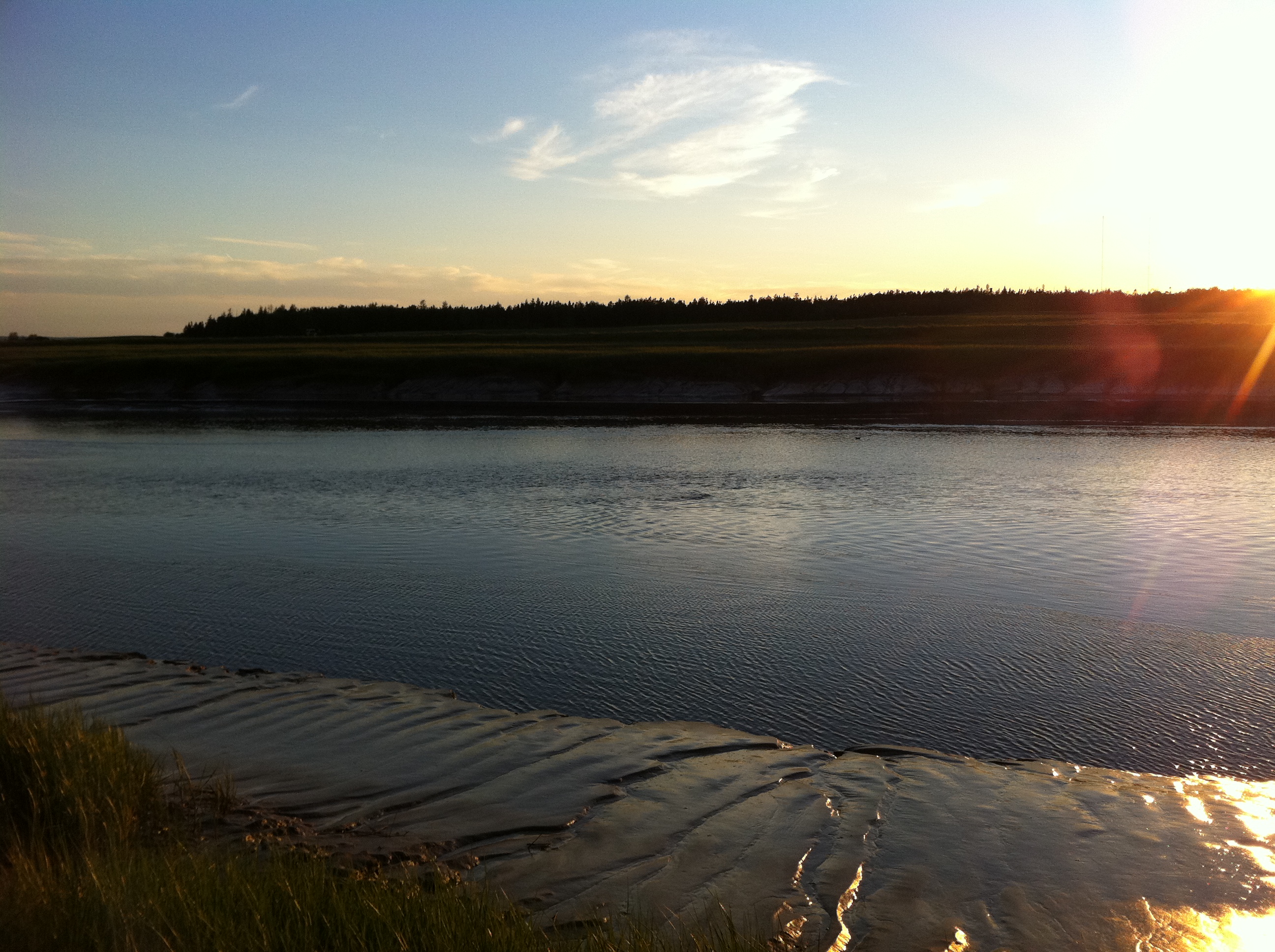
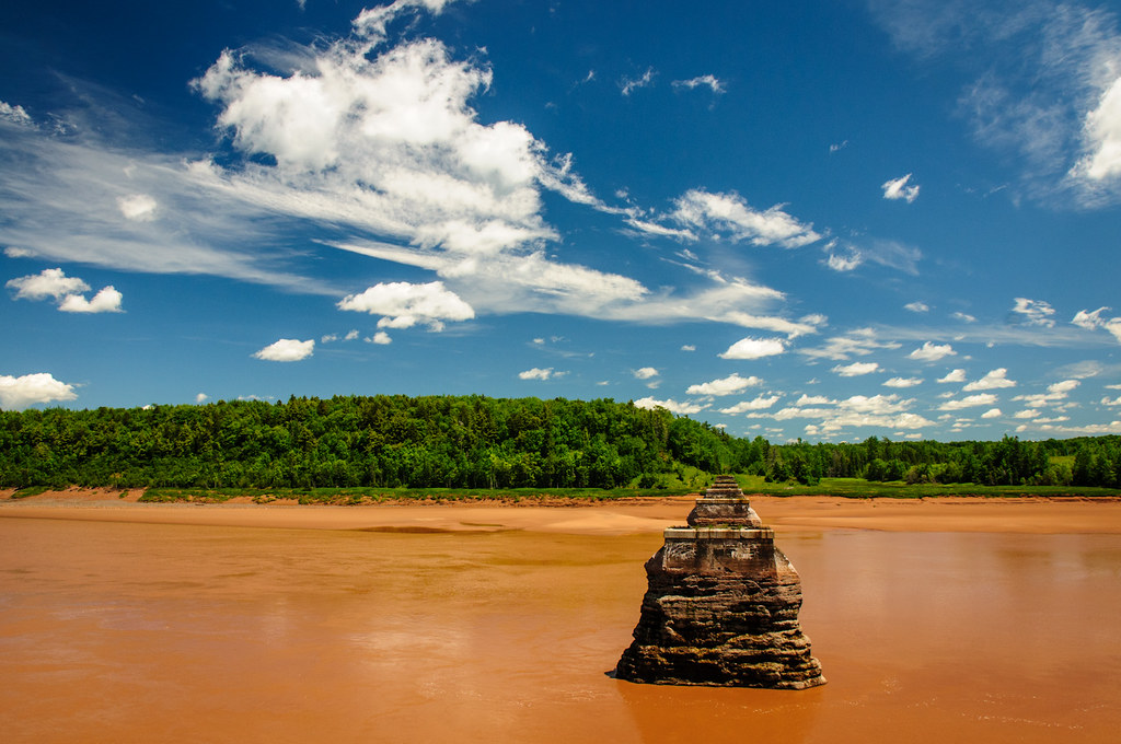
Before the Bore

Shubenacadie River, NS

Cutting hay, Nova Scotia

Fundy Mud as seen along the Cobequid trail in Truro

The farm on the hill
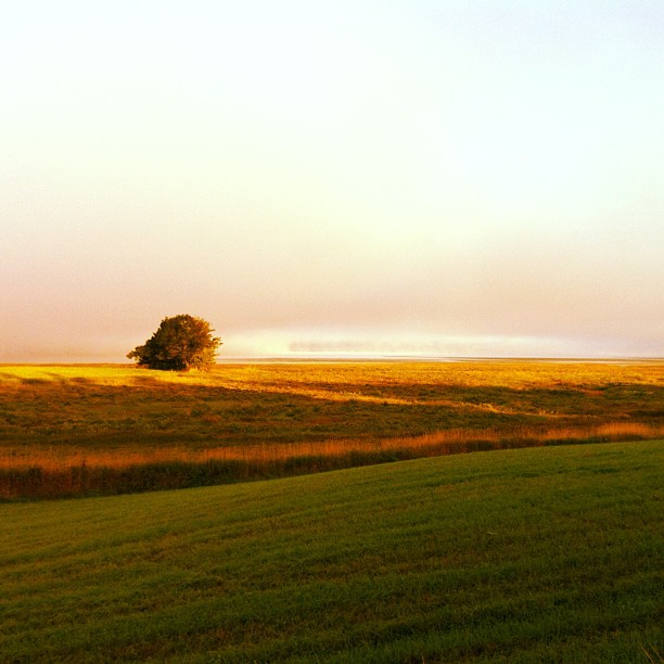
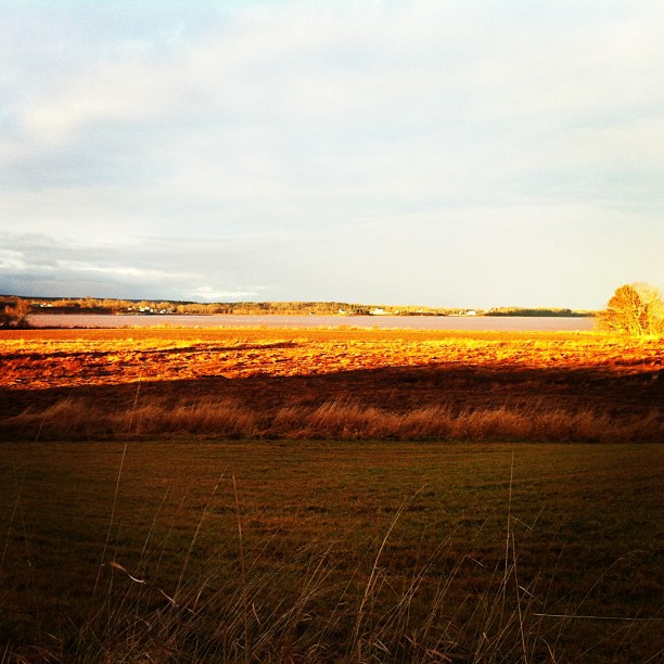
Early morning, Cobequid Bay
Low tide
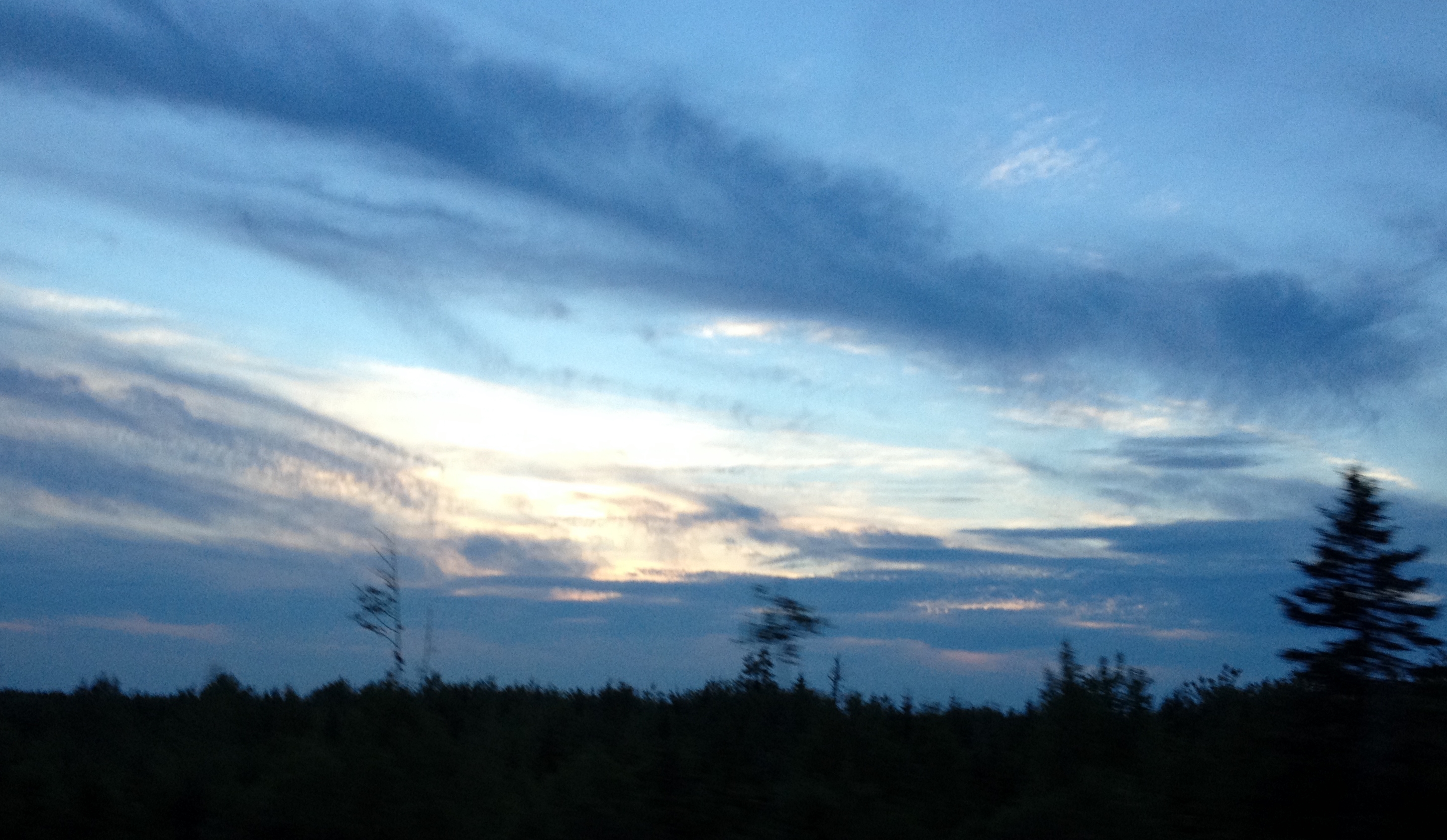
Pretty sky on the way home last night.
Where the Shubenacadie River meets the Cobequid Bay

Shubenacadie River, NS
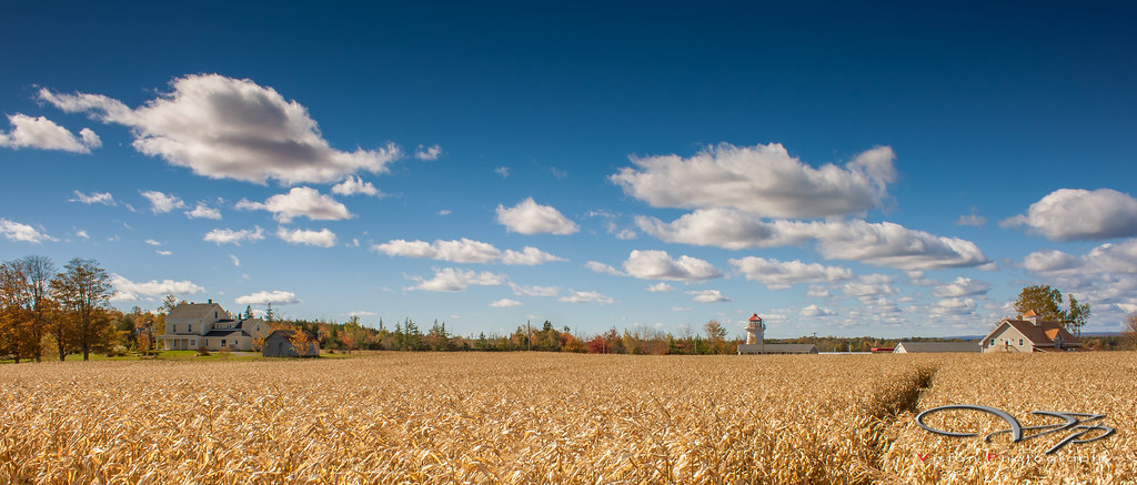
Corn Field

Shubenacadie river vor der flutwelle
Stewiacke Panorama 2
Stewiacke Panorama 1

Shubenacadie River
Topographic Map of Glooscap Trail, Shubenacadie, NS B0N 2H0, Canada
Find elevation by address:

Places near Glooscap Trail, Shubenacadie, NS B0N 2H0, Canada:
Beaver Brook
99 Archibald Rd
7877 Ns-215
Admiral Rock
NS-, Old Barns, NS B6L 1N6, Canada
123 Hamilton Ln
B0n 1t0
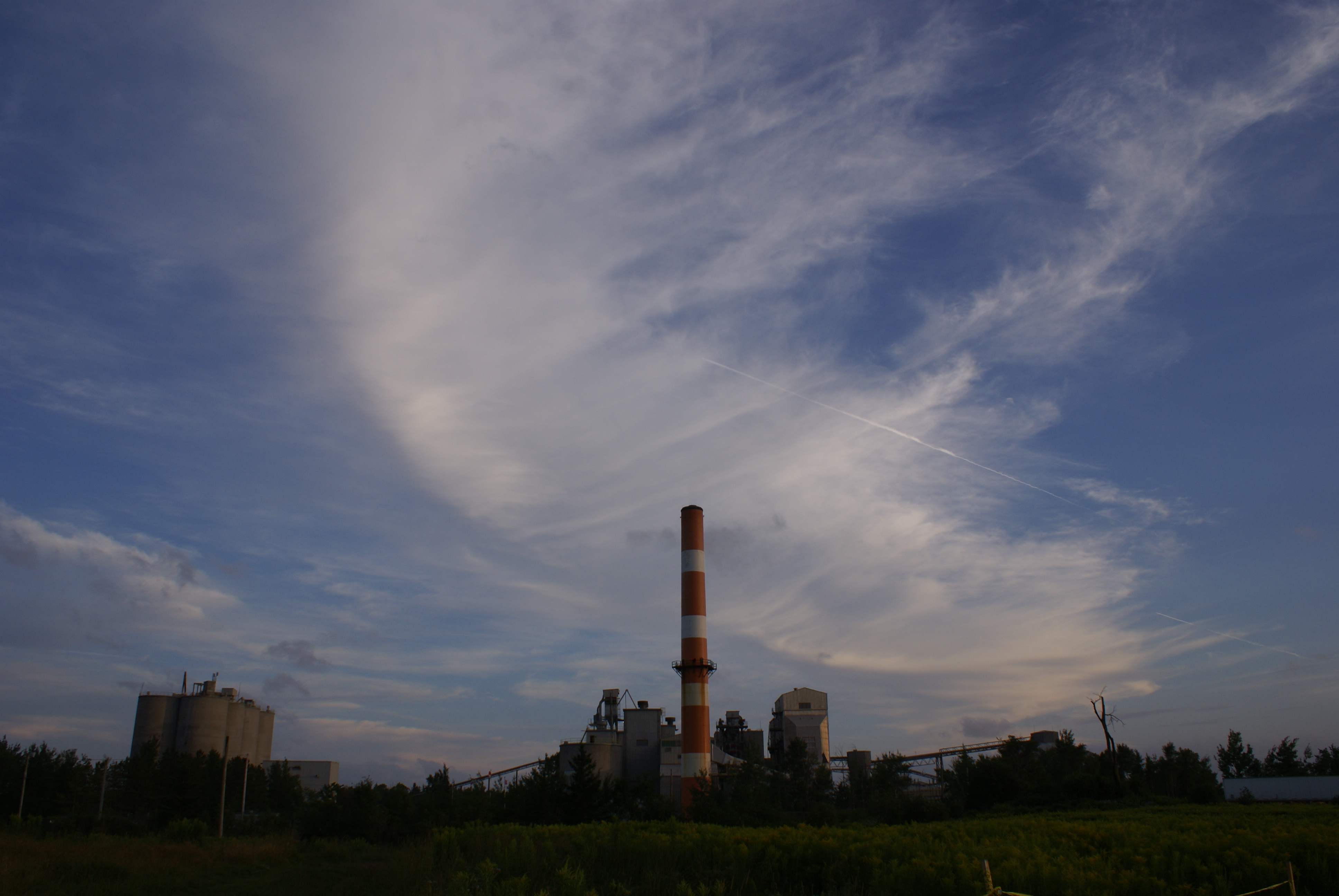
87 Cement Plant Rd
High Tide Road
47 Lockheed Crescent
Stewiacke
Shubenacadie
83 Morley Ave
Debert
Pleasant Valley Road
Upper Kennetcook
Truro Heights
Plains Rd, Debert, NS B0M 1G0, Canada
Lightbody Road
Northfield Rd, Upper Kennetcook, NS B0N 2L0, Canada
Recent Searches:
- Elevation of Corso Fratelli Cairoli, 35, Macerata MC, Italy
- Elevation of Tallevast Rd, Sarasota, FL, USA
- Elevation of 4th St E, Sonoma, CA, USA
- Elevation of Black Hollow Rd, Pennsdale, PA, USA
- Elevation of Oakland Ave, Williamsport, PA, USA
- Elevation of Pedrógão Grande, Portugal
- Elevation of Klee Dr, Martinsburg, WV, USA
- Elevation of Via Roma, Pieranica CR, Italy
- Elevation of Tavkvetili Mountain, Georgia
- Elevation of Hartfords Bluff Cir, Mt Pleasant, SC, USA