Elevation of Stewiacke, NS B0N, Canada
Location: Canada > Nova Scotia > Colchester County >
Longitude: -63.349350
Latitude: 45.1378331
Elevation: 30m / 98feet
Barometric Pressure: 101KPa
Elevation Map:
Satellite Map:
Related Photos:

Lonely Tree.....

Ghost in the Forest

HERH Morning View

Fall Marsh, Nova Scotia
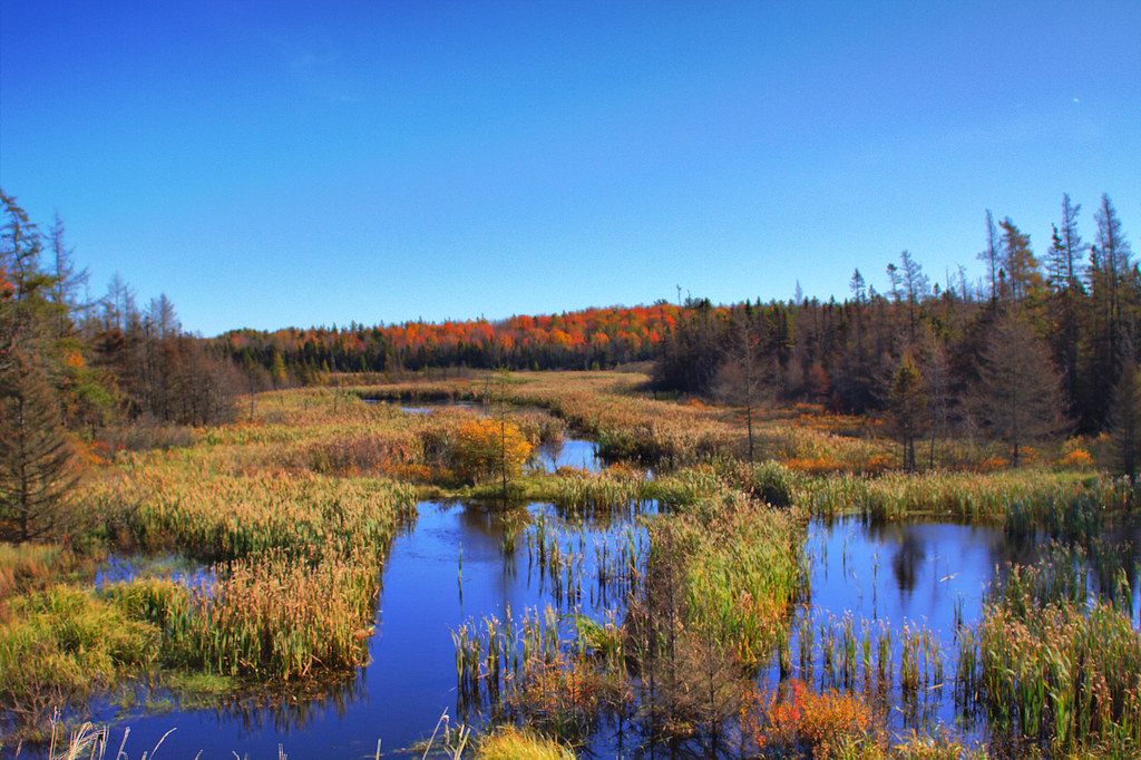
Fall Marsh, HDR
and the clouds blow in

Closer view of the clouds.

Sunrise in Shubie

Lonely tree....
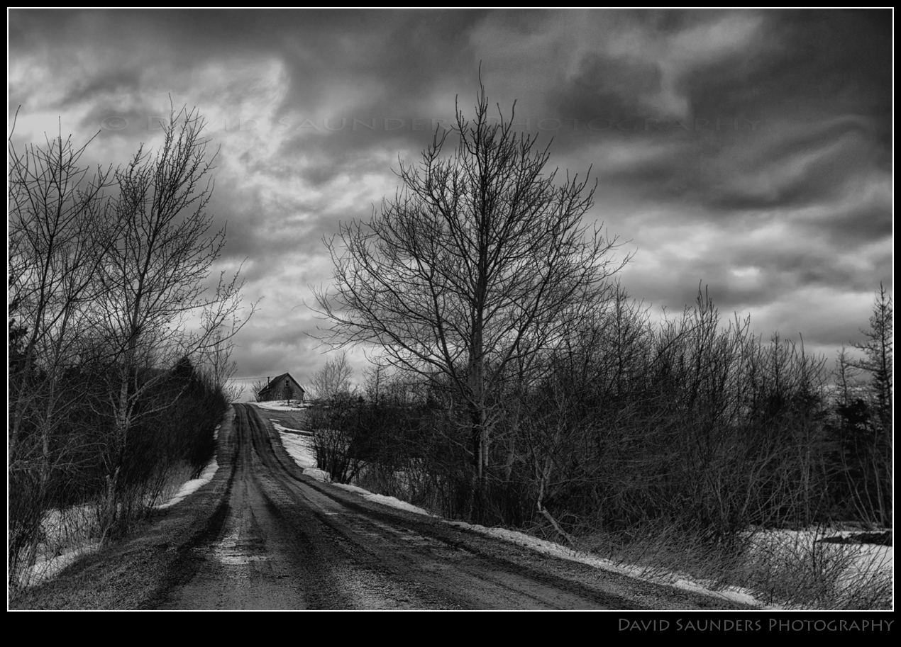
Haunted house on the hill?
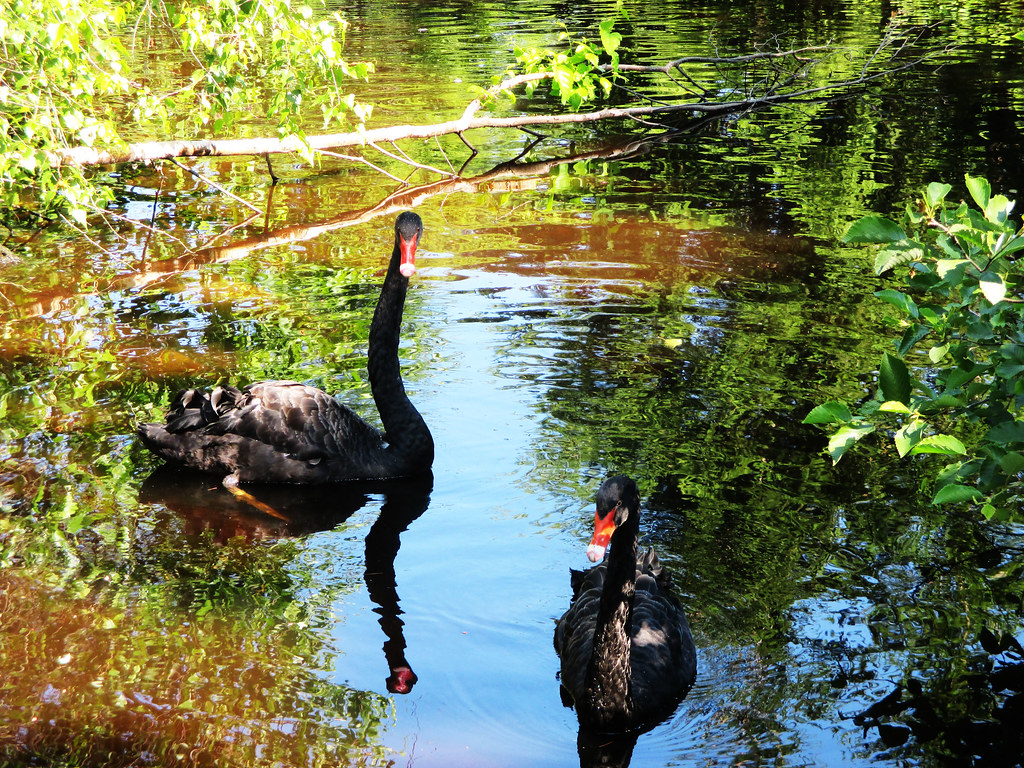
swan couple

Clouds and hay
Before the Bore
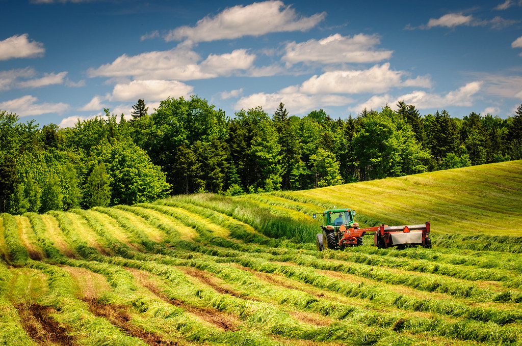
Cutting hay, Nova Scotia

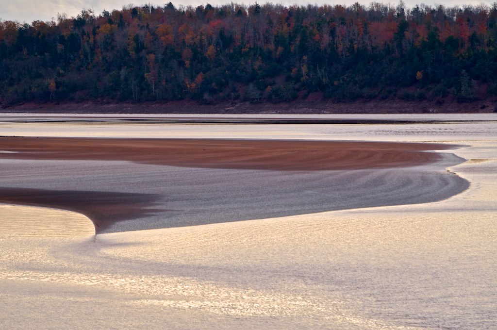
Low tide
Topographic Map of Stewiacke, NS B0N, Canada
Find elevation by address:

Places in Stewiacke, NS B0N, Canada:
Places near Stewiacke, NS B0N, Canada:
High Tide Road
1086 Stewiacke Rd
West Saint Andrews
Admiral Rock
Shubenacadie
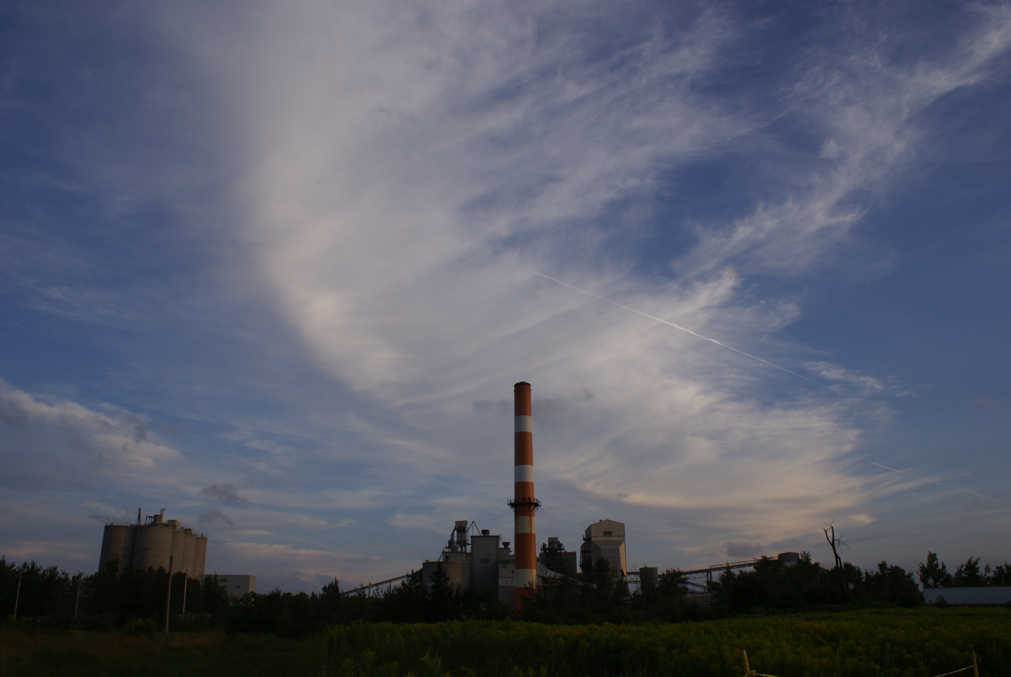
87 Cement Plant Rd
Nova Scotia Trunk 2, Hardwood Lands, NS B0N 1Y0, Canada
111 Wilson Rd
Cooks Brook
Pleasant Valley Road
Glooscap Trail, Shubenacadie, NS B0N 2H0, Canada
Beaver Brook
99 Archibald Rd
83 Morley Ave
NS-, Old Barns, NS B6L 1N6, Canada
Truro Heights
50 Abbey Ave
18 Roosevelt Ave
61 Smith Ave
78 King St
Recent Searches:
- Elevation of Corso Fratelli Cairoli, 35, Macerata MC, Italy
- Elevation of Tallevast Rd, Sarasota, FL, USA
- Elevation of 4th St E, Sonoma, CA, USA
- Elevation of Black Hollow Rd, Pennsdale, PA, USA
- Elevation of Oakland Ave, Williamsport, PA, USA
- Elevation of Pedrógão Grande, Portugal
- Elevation of Klee Dr, Martinsburg, WV, USA
- Elevation of Via Roma, Pieranica CR, Italy
- Elevation of Tavkvetili Mountain, Georgia
- Elevation of Hartfords Bluff Cir, Mt Pleasant, SC, USA