Elevation of 83 Morley Ave, Truro Heights, NS B6L 1M9, Canada
Location: Canada > Nova Scotia > Colchester County > Colchester, Subd. C > Truro Heights >
Longitude: -63.312585
Latitude: 45.342663
Elevation: 92m / 302feet
Barometric Pressure: 100KPa
Elevation Map:
Satellite Map:
Related Photos:
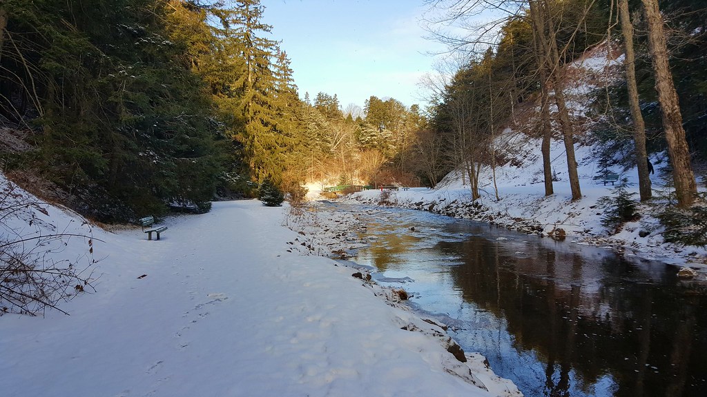
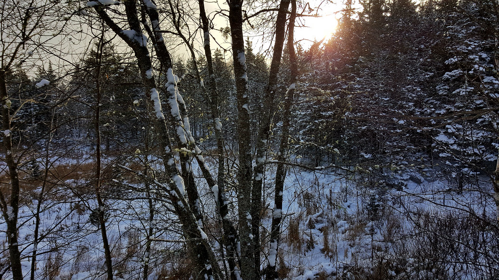
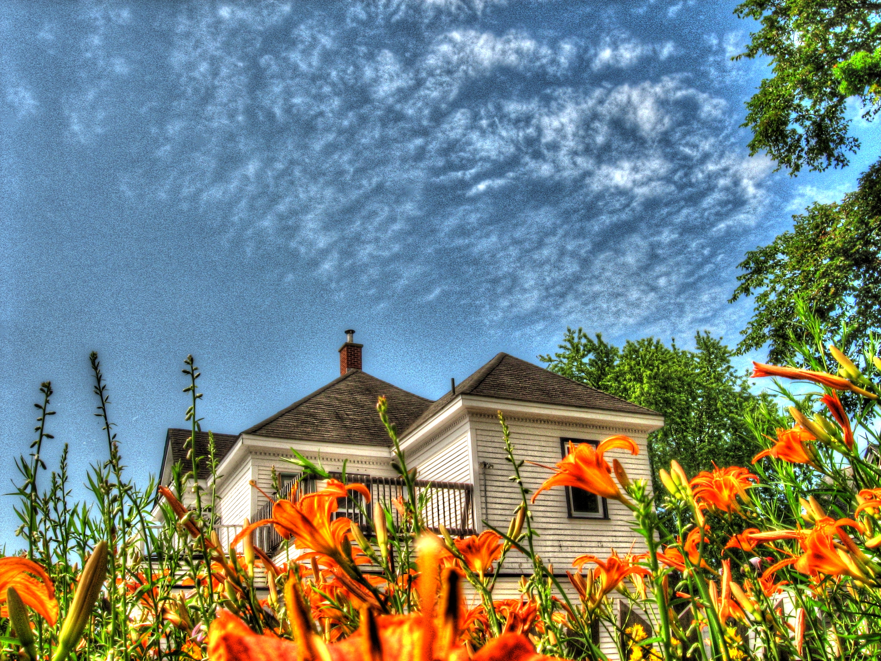
Beautiful Winter
Blackbird- Click the 3D Photosynth link below

Click below for Photosynth link

Victoria Park, Truro
Click link for HDR walk

Click below for Photosynth link
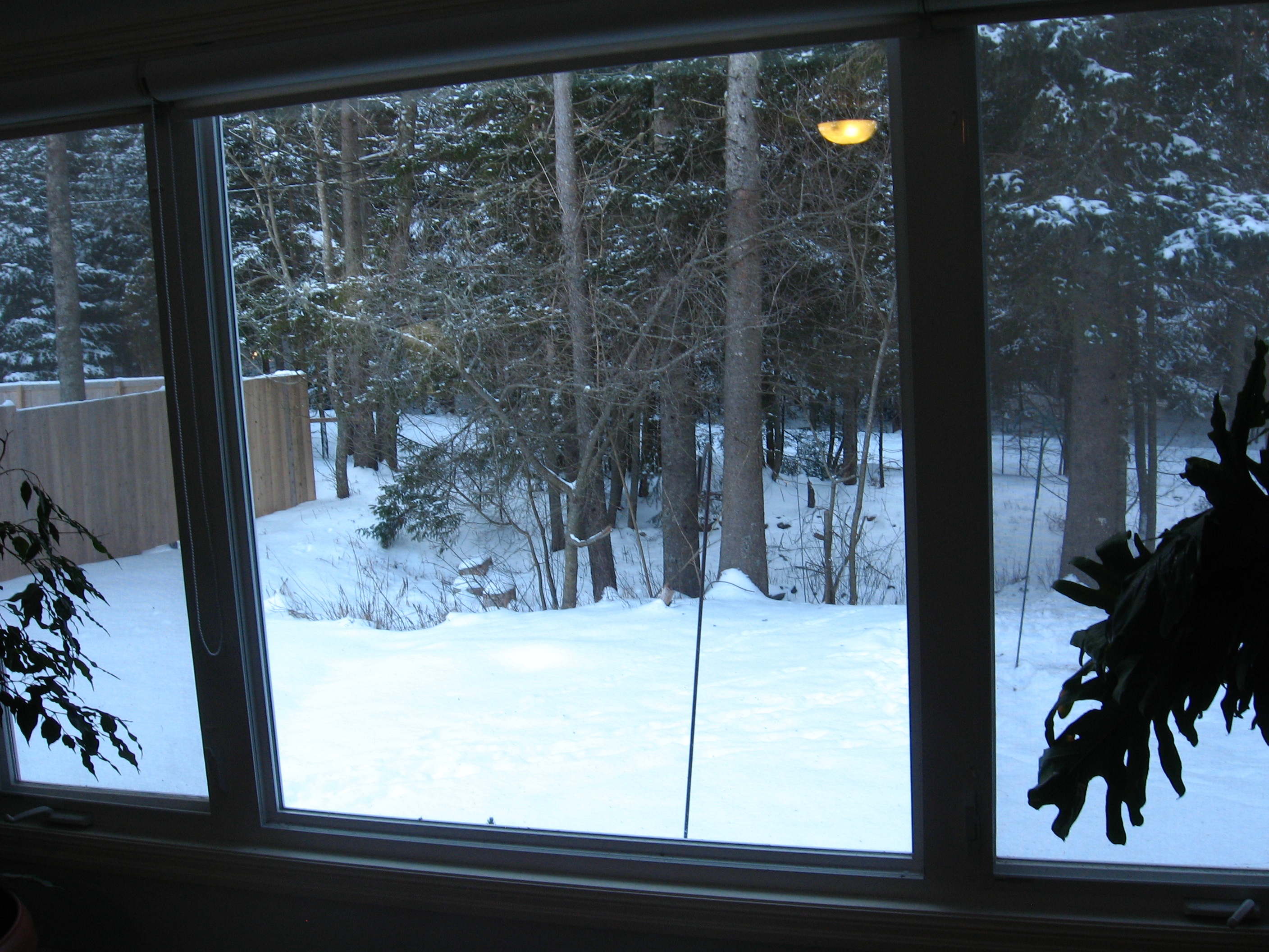
Click the link for living room window sweep

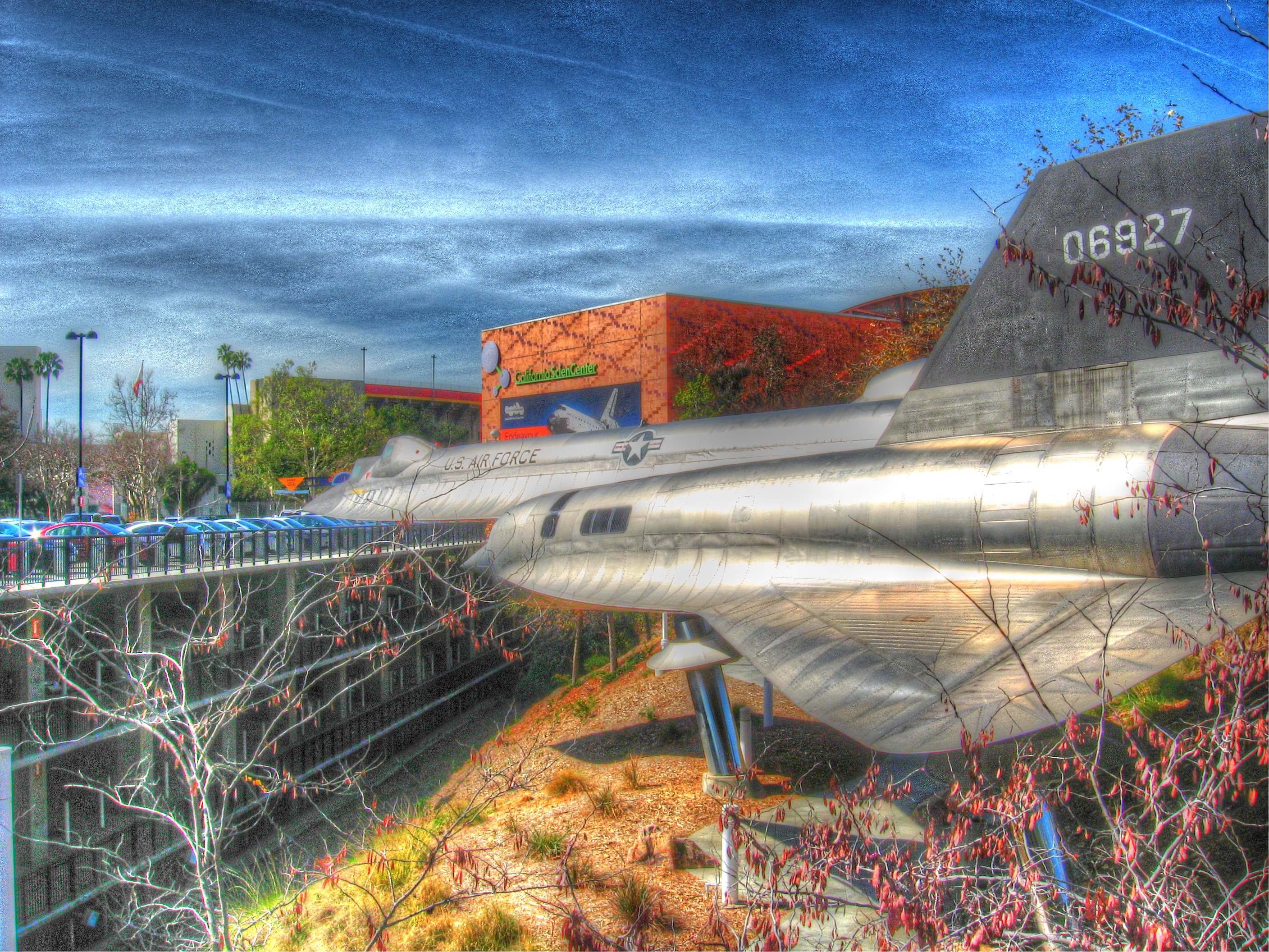
Truro Bearcat
Click below to float head

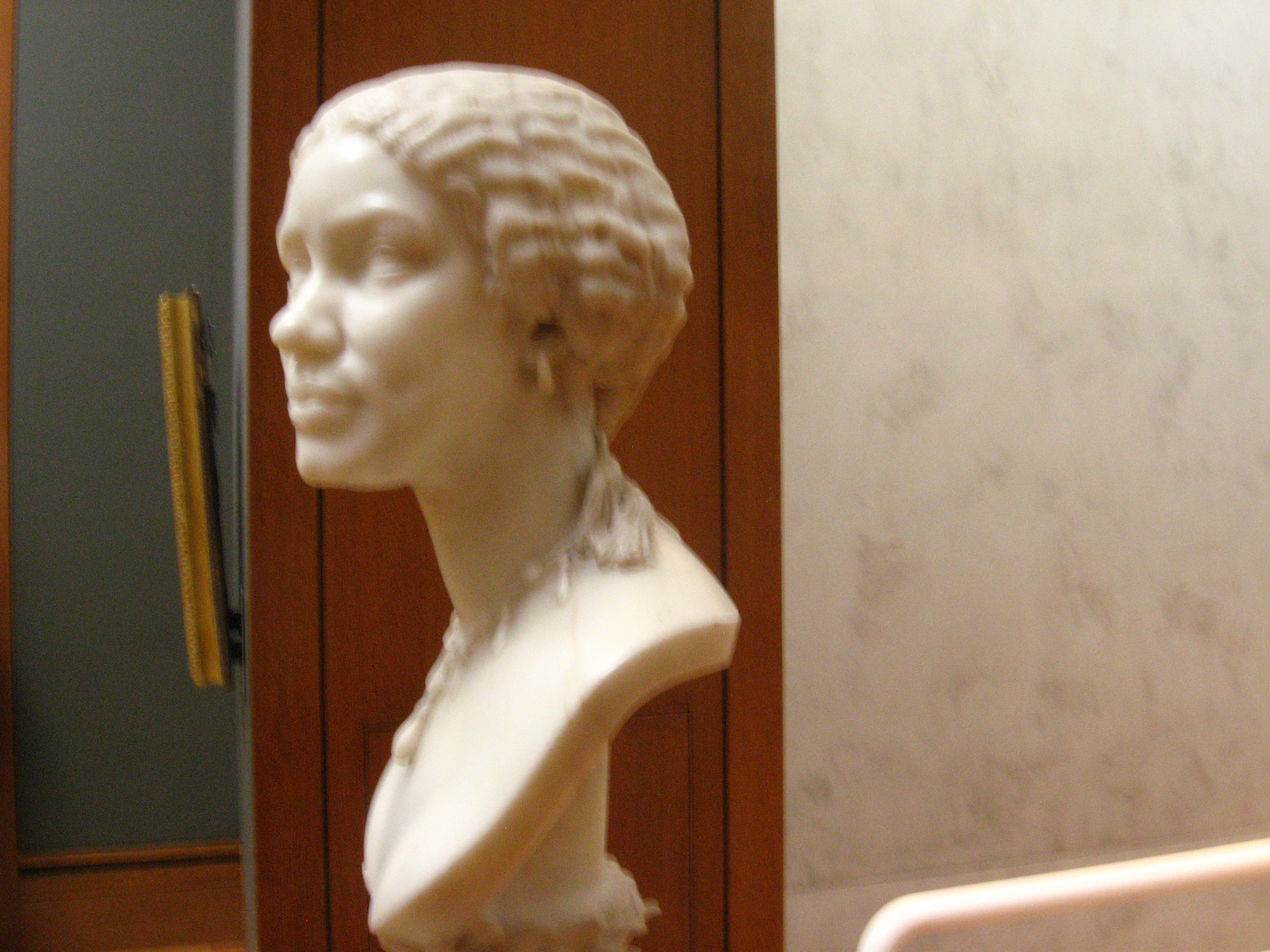
Truro Carvings

Click below for Photosynth link

Click below to approach

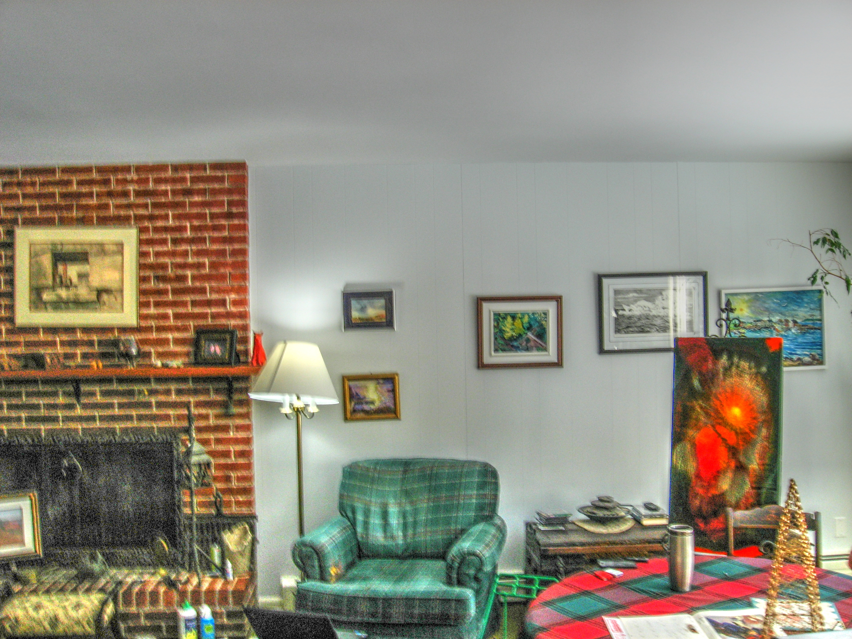
Follow the link to kitchen art walk

Click below for 3D Photosynth Italian Arum

Click the link to rotate the bear
Follow the link to take the walk

View from the lighthouse

Click below for 3D Photosynth Italian Arum
View from the lighthouse
View from the lighthouse

Click below for Photosynth link

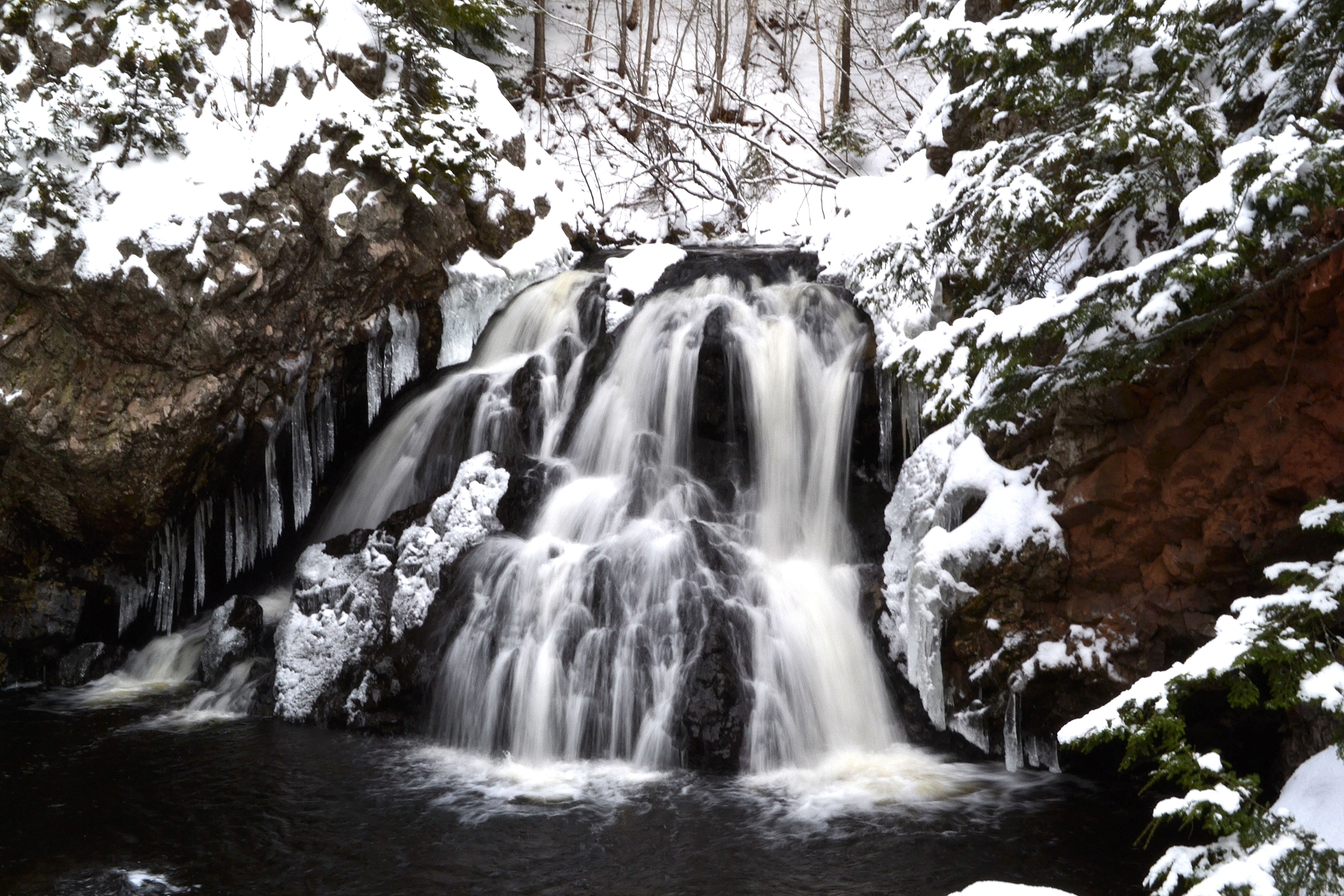
Waddell Falls
Early Winter's Day Sun (Victoria Park Reservoir Trail)
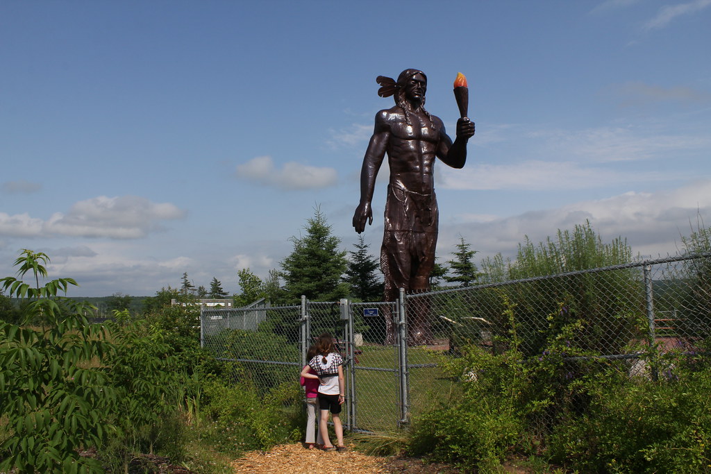
Statue of Glooscap

Dirt Piles

Victoria Falls

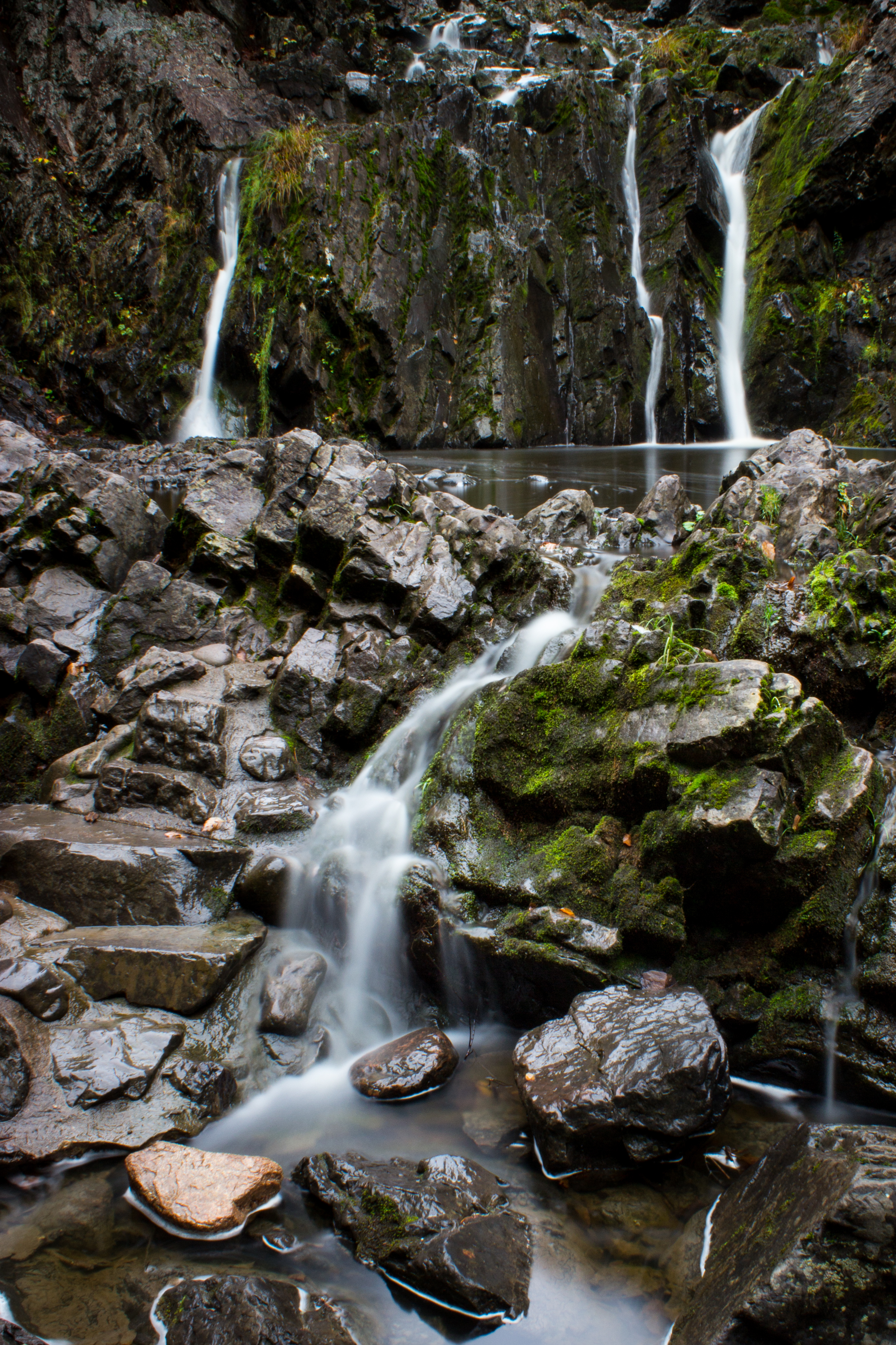
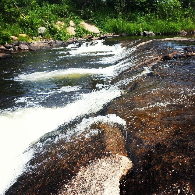
Waddell Falls, Truro, NS
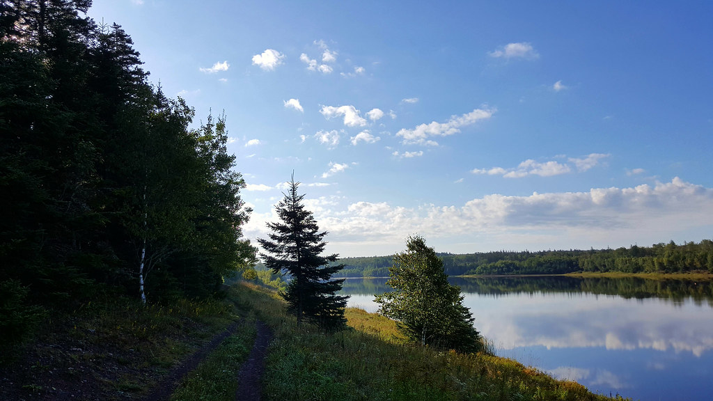
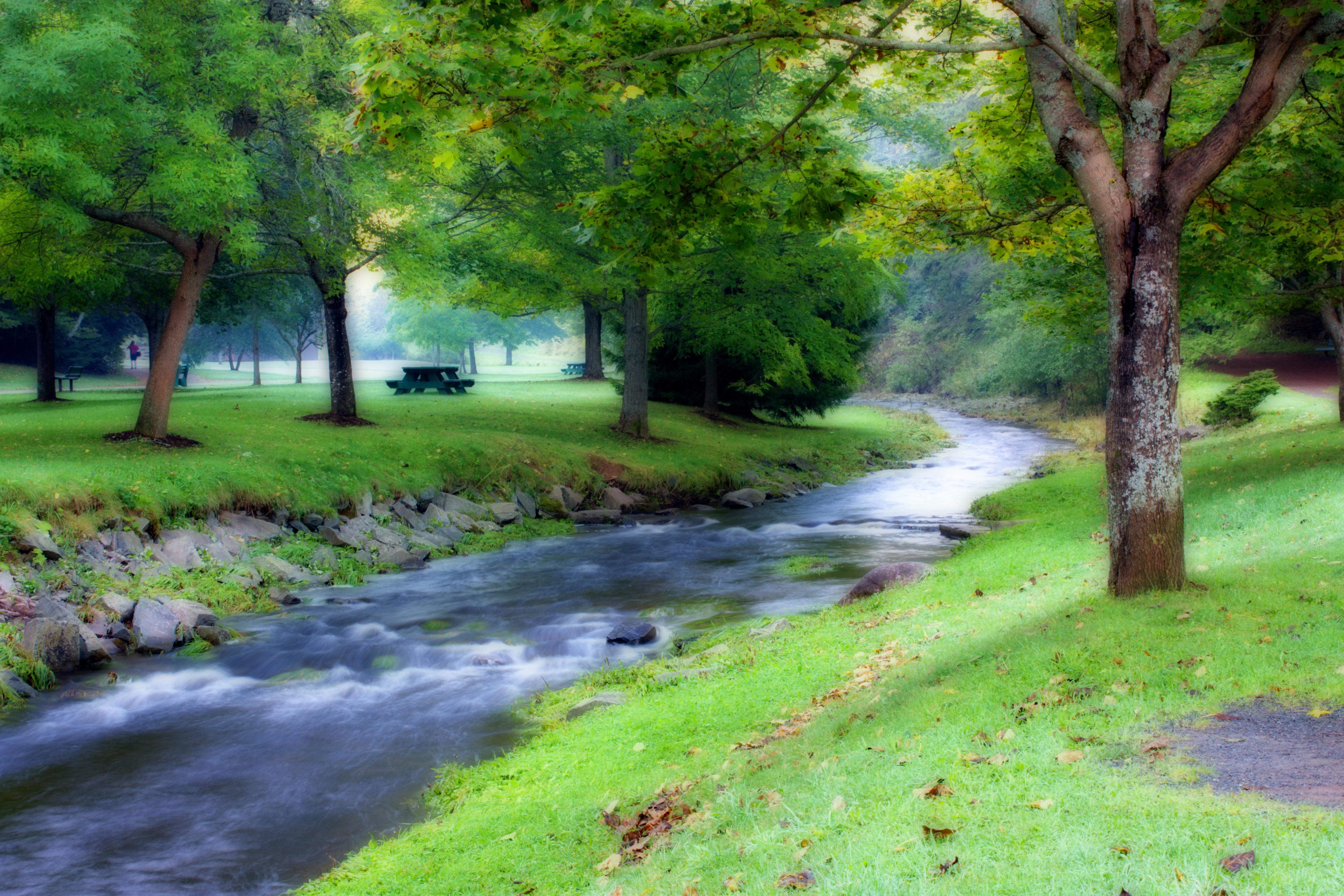
Blue Skies over Lepper Brook Reservoir

Cutting hay, Nova Scotia
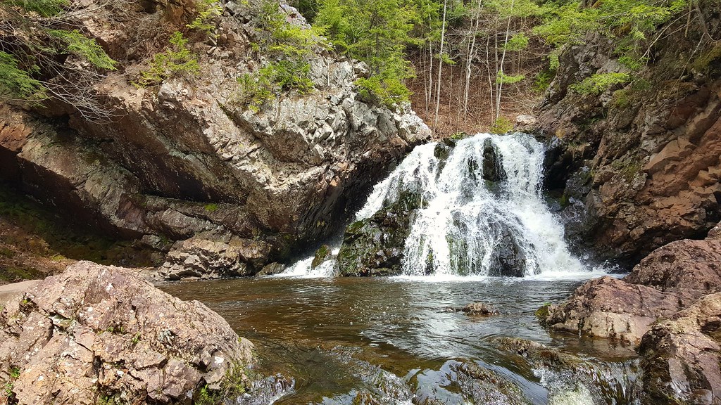
Waddell Falls (Truro, Nova Scotia, Canada)
Falls #2
Downtown Saturday
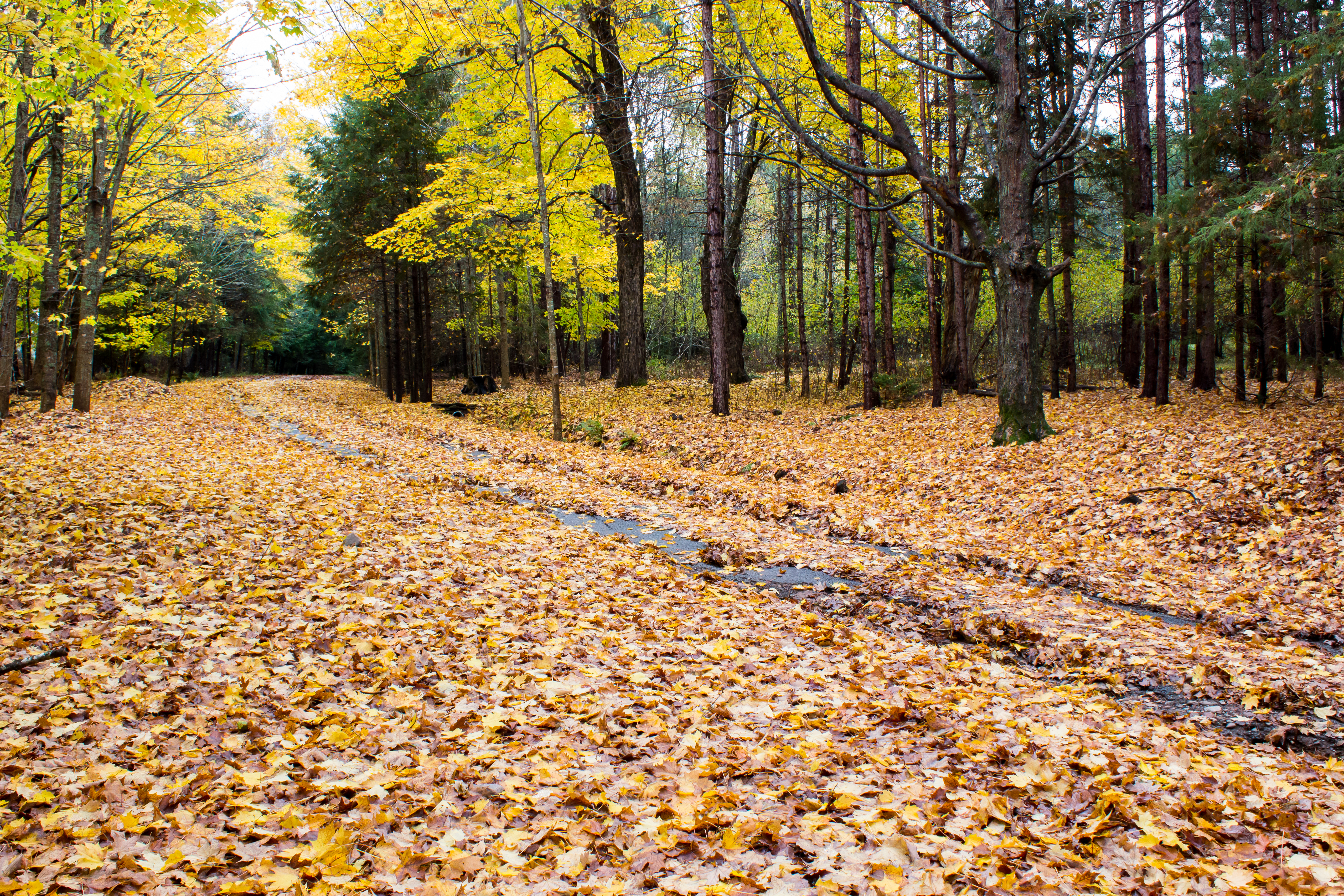
Autumn Lane
Nova Scotia Dreamin' 5 - Victoria Park
Joe Howe Falls
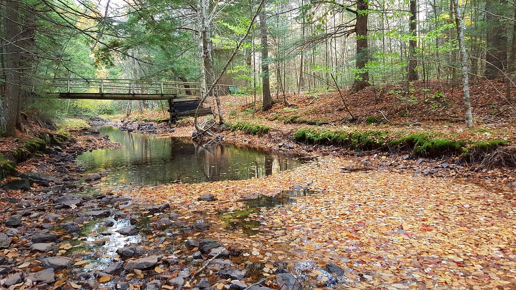
A Stream of Leaves

Lawrence Museum Wetlands

Downtown Saturday
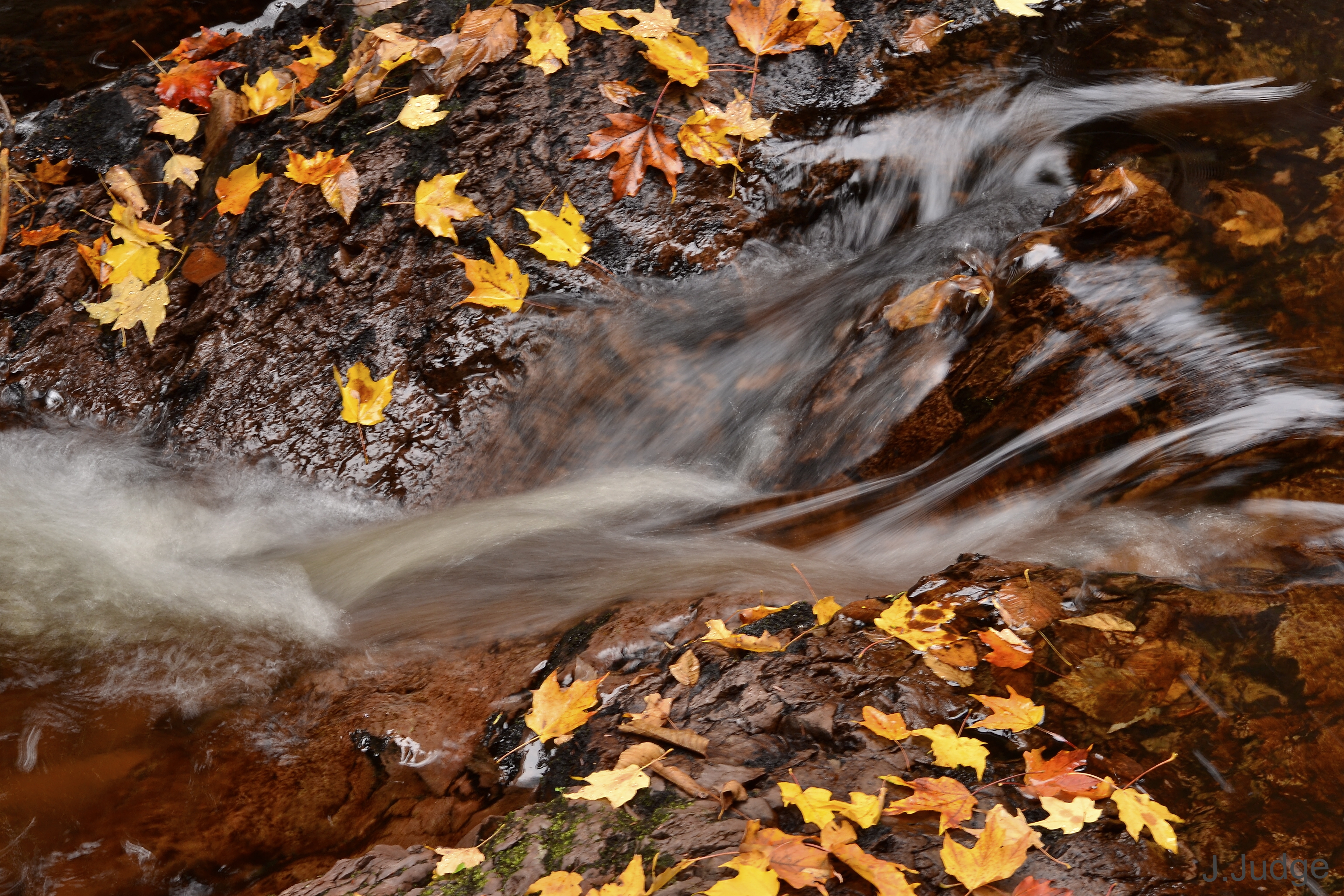
Water Fall Colours
The fish again
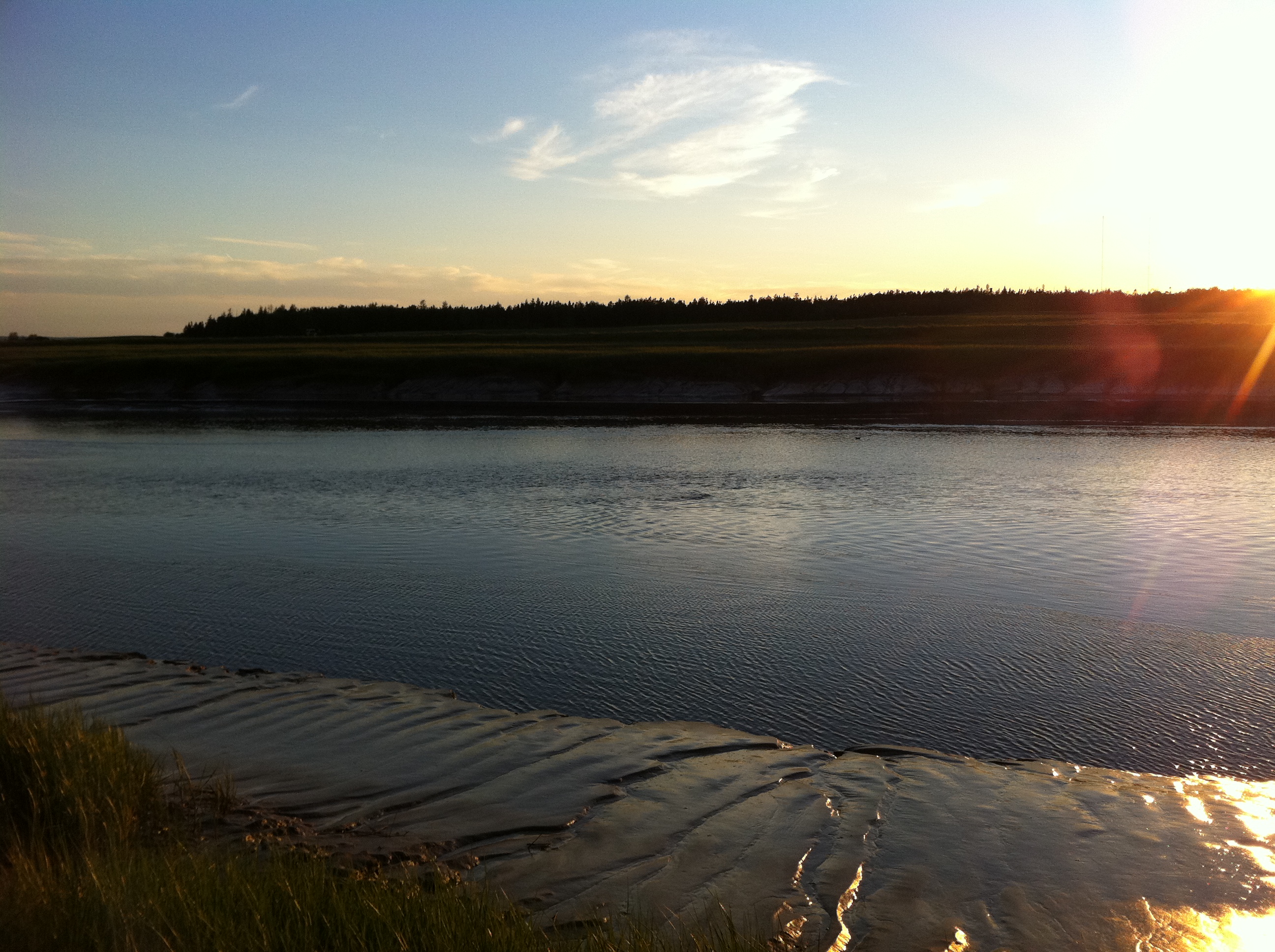
River shot
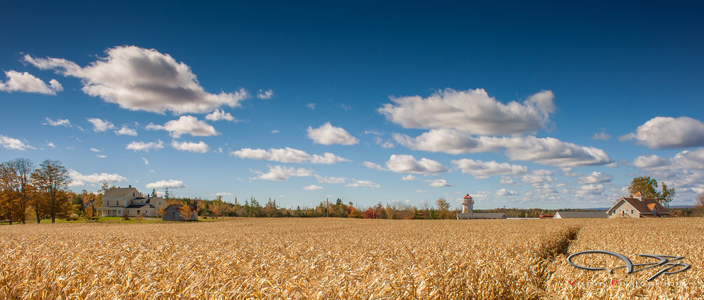
Corn Field
Topographic Map of 83 Morley Ave, Truro Heights, NS B6L 1M9, Canada
Find elevation by address:

Places near 83 Morley Ave, Truro Heights, NS B6L 1M9, Canada:
Truro Heights
50 Abbey Ave
18 Roosevelt Ave
61 Smith Ave
32 Whitman Ct
2 Churchill St
2 Churchill St
59 Churchill St
59 Churchill St
78 King St
401 Robie St
37 King St
Truro
63 Duke St
Old Tatamagouche Rd, Onslow Mountain, NS B6L 6P1, Canada
Colchester County
NS-, Old Barns, NS B6L 1N6, Canada
Pleasant Valley Road
313 Onslow Mountain Rd
87 Cement Plant Rd
Recent Searches:
- Elevation of Corso Fratelli Cairoli, 35, Macerata MC, Italy
- Elevation of Tallevast Rd, Sarasota, FL, USA
- Elevation of 4th St E, Sonoma, CA, USA
- Elevation of Black Hollow Rd, Pennsdale, PA, USA
- Elevation of Oakland Ave, Williamsport, PA, USA
- Elevation of Pedrógão Grande, Portugal
- Elevation of Klee Dr, Martinsburg, WV, USA
- Elevation of Via Roma, Pieranica CR, Italy
- Elevation of Tavkvetili Mountain, Georgia
- Elevation of Hartfords Bluff Cir, Mt Pleasant, SC, USA