Elevation of NS-, Kennetcook, NS B0N 1P0, Canada
Location: Canada > Nova Scotia > Hants County > East Hants > Kennetcook >
Longitude: -63.722603
Latitude: 45.1765996
Elevation: 29m / 95feet
Barometric Pressure: 101KPa
Elevation Map:
Satellite Map:
Related Photos:
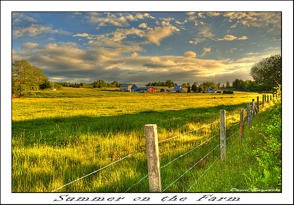
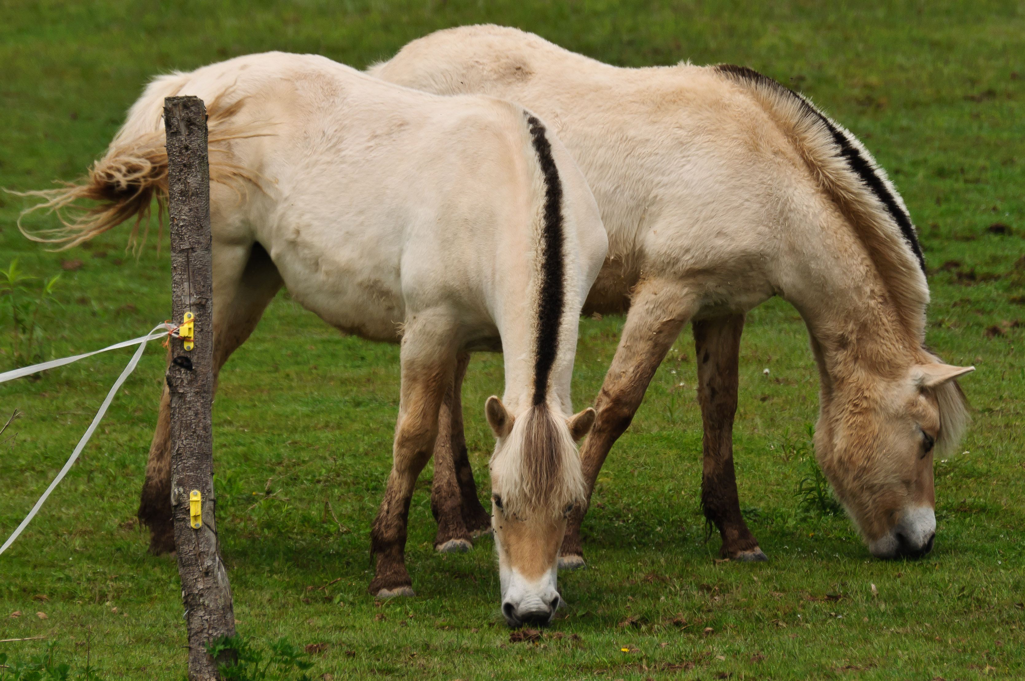
Summer on the Farm
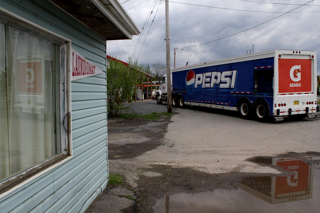
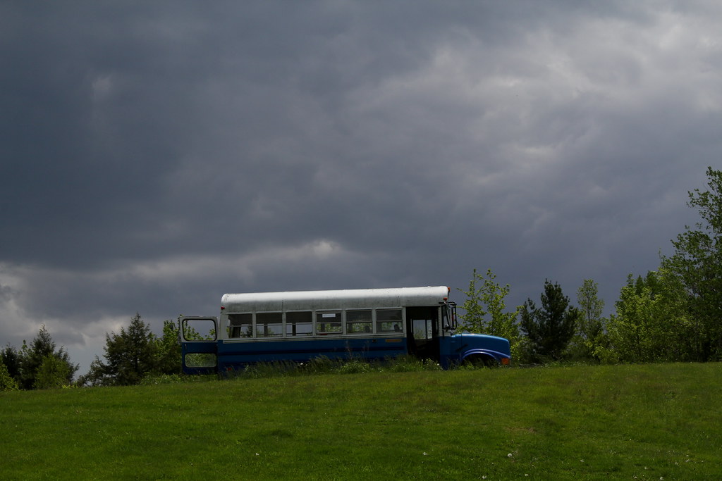
Hants County, NS
Hants County, NS
Rawdon Gold Mines, NS
Courthouse Hill
Rawdon Gold Mines, NS
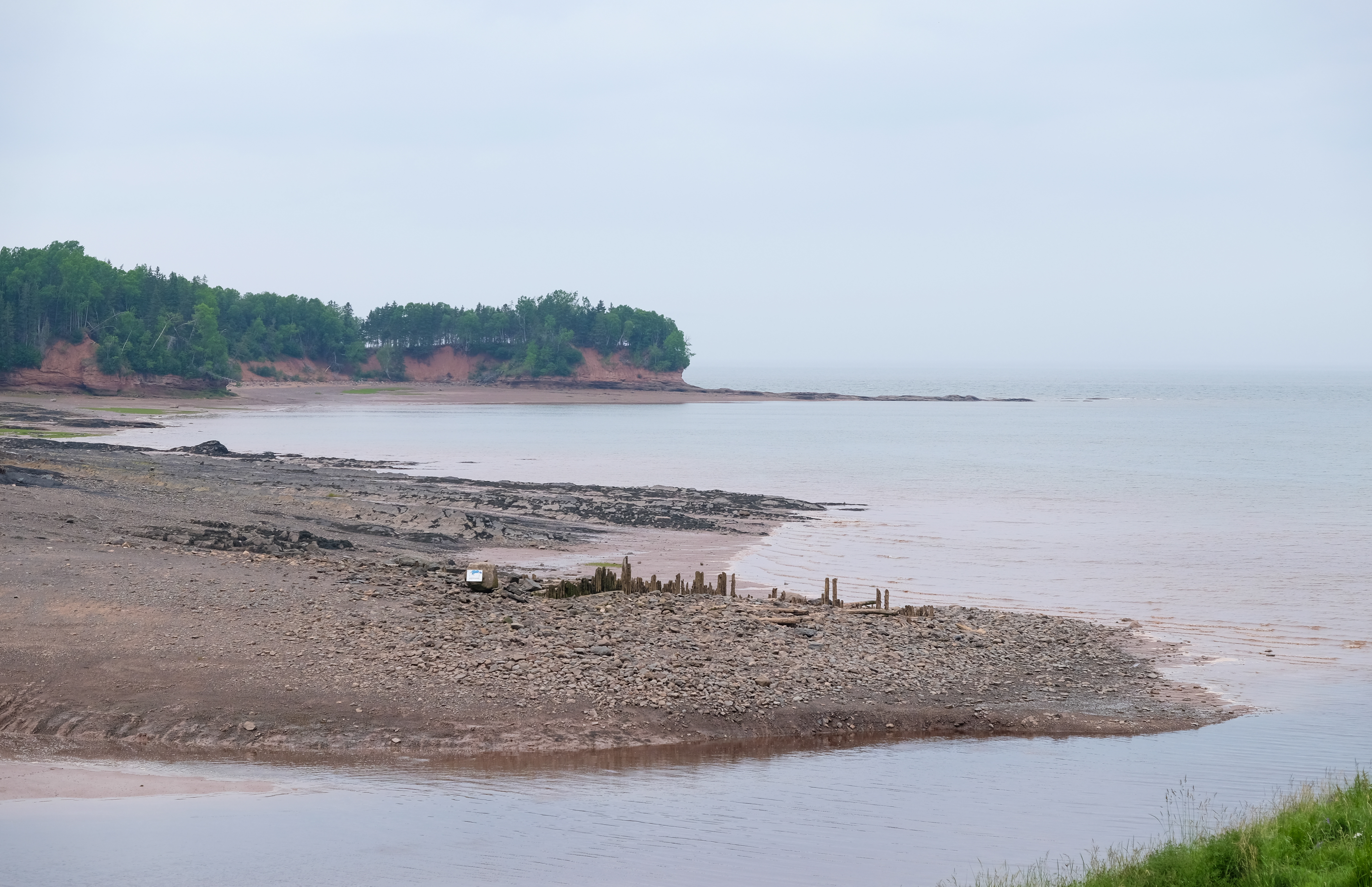
Low tide, Bay of Fundy
West Gore, NS
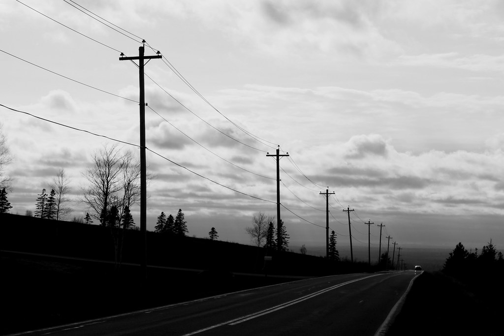
Hants County, NS
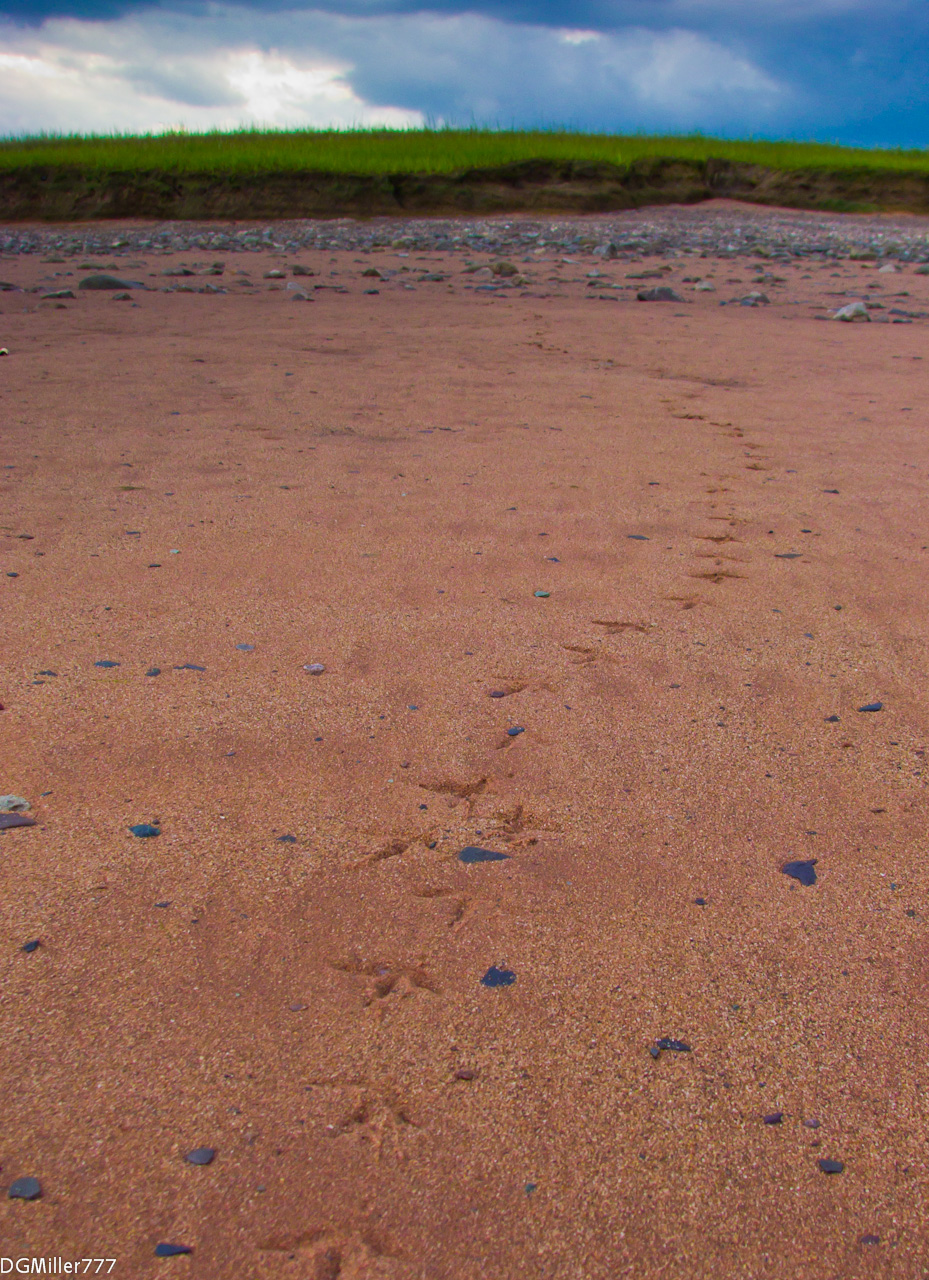
Footprints in the sand
_DSC9859.jpg

_C060041-Edit

_C060042-Edit

_C060046-EditBW
Topographic Map of NS-, Kennetcook, NS B0N 1P0, Canada
Find elevation by address:

Places near NS-, Kennetcook, NS B0N 1P0, Canada:
Kennetcook
Upper Kennetcook
Northfield Rd, Upper Kennetcook, NS B0N 2L0, Canada
4628 Nova Scotia Trunk 14
123 Hamilton Ln
East Hants
B0n 1t0
Highway 215
7877 Ns-215
181 Cross 2 Rd
Hants County
Portapique
Quarry Road
Quarry Road
663 Cross 3 Rd
Colchester, Subd. A
Glooscap Trail, Shubenacadie, NS B0N 2H0, Canada
Walton
Lornevale
Highway 104
Recent Searches:
- Elevation of Corso Fratelli Cairoli, 35, Macerata MC, Italy
- Elevation of Tallevast Rd, Sarasota, FL, USA
- Elevation of 4th St E, Sonoma, CA, USA
- Elevation of Black Hollow Rd, Pennsdale, PA, USA
- Elevation of Oakland Ave, Williamsport, PA, USA
- Elevation of Pedrógão Grande, Portugal
- Elevation of Klee Dr, Martinsburg, WV, USA
- Elevation of Via Roma, Pieranica CR, Italy
- Elevation of Tavkvetili Mountain, Georgia
- Elevation of Hartfords Bluff Cir, Mt Pleasant, SC, USA