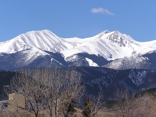
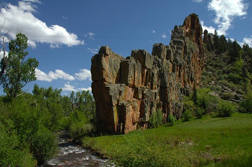
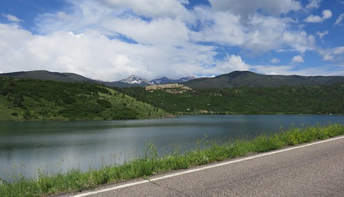
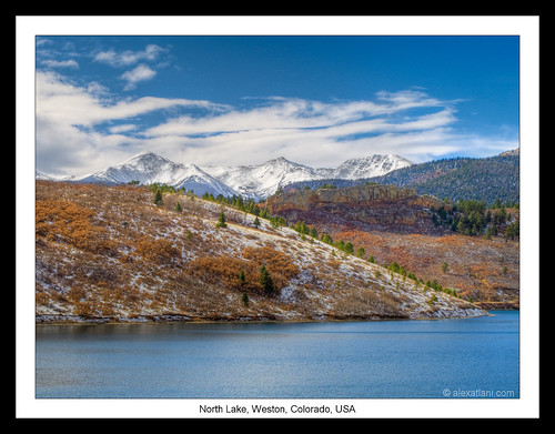
Elevation of Northridge Rd, Weston, CO, USA
Location: United States > Colorado > Costilla County > Weston >
Longitude: -104.91226
Latitude: 37.1924571
Elevation: 2352m / 7717feet
Barometric Pressure: 76KPa
Related Photos:
Topographic Map of Northridge Rd, Weston, CO, USA
Find elevation by address:

Places near Northridge Rd, Weston, CO, USA:
Escondido Road
Spanish Peaks Trail
Rinconda Trail
County Road 23.3
Timber Ridge Road
12030 County Rd 23.3
12402 Co-12
Zamara
West Point Road
CO-12, Weston, CO, USA
Wilderness Ridge Road
Parras Plaza
County Rd 21.6, Weston, CO, USA
12240 Big Pine Ridge Rd
11200 Co-12
17873 County Rd 31.9
14400 Logging Canyon Rd
17101 County Rd 31.9
17201 County Rd 31.9
17201 County Rd 31.9
Recent Searches:
- Elevation of Corso Fratelli Cairoli, 35, Macerata MC, Italy
- Elevation of Tallevast Rd, Sarasota, FL, USA
- Elevation of 4th St E, Sonoma, CA, USA
- Elevation of Black Hollow Rd, Pennsdale, PA, USA
- Elevation of Oakland Ave, Williamsport, PA, USA
- Elevation of Pedrógão Grande, Portugal
- Elevation of Klee Dr, Martinsburg, WV, USA
- Elevation of Via Roma, Pieranica CR, Italy
- Elevation of Tavkvetili Mountain, Georgia
- Elevation of Hartfords Bluff Cir, Mt Pleasant, SC, USA


