Elevation of West Point Road, W Point Rd, Colorado, USA
Location: United States > Colorado > Costilla County > Weston >
Longitude: -104.87238
Latitude: 37.1904237
Elevation: -10000m / -32808feet
Barometric Pressure: 295KPa
Elevation Map:
Satellite Map:
Related Photos:

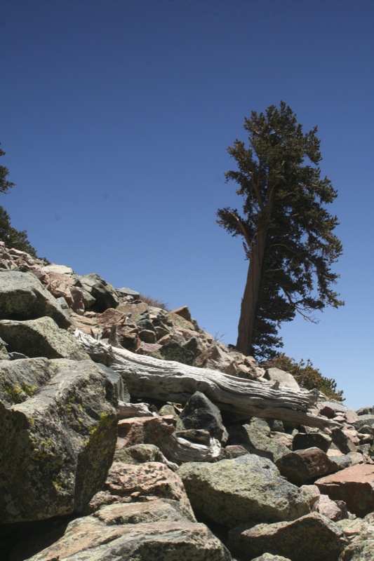
One of 500

Road through the dikes

20080530_7957.jpg

Clear Day

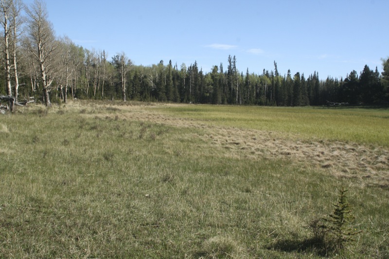
North Lake, Weston, Colorado, USA

Monument Lake 3
20080530_7964.jpg

Spanish Peaks

20080530_7965.jpg

20080530_7977.jpg
20080531_8130.jpg
Topographic Map of West Point Road, W Point Rd, Colorado, USA
Find elevation by address:

Places near West Point Road, W Point Rd, Colorado, USA:
Timber Ridge Road
12240 Big Pine Ridge Rd
13900 W Point Rd
13900 W Point Rd
13900 W Point Rd
Spanish Peaks Trail
13121 Northridge Rd
Rinconda Trail
Escondido Road
County Road 41.7
County Road 41.7
County Road 41.7
County Road 41.7
County Road 23.3
CO-12, Weston, CO, USA
12030 County Rd 23.3
Zamara
17873 County Rd 31.9
Weston
16900 Co-12
Recent Searches:
- Elevation of Corso Fratelli Cairoli, 35, Macerata MC, Italy
- Elevation of Tallevast Rd, Sarasota, FL, USA
- Elevation of 4th St E, Sonoma, CA, USA
- Elevation of Black Hollow Rd, Pennsdale, PA, USA
- Elevation of Oakland Ave, Williamsport, PA, USA
- Elevation of Pedrógão Grande, Portugal
- Elevation of Klee Dr, Martinsburg, WV, USA
- Elevation of Via Roma, Pieranica CR, Italy
- Elevation of Tavkvetili Mountain, Georgia
- Elevation of Hartfords Bluff Cir, Mt Pleasant, SC, USA