Elevation of CO-12, Weston, CO, USA
Location: United States > Colorado > Costilla County > Weston >
Longitude: -104.95328
Latitude: 37.1610852
Elevation: 2246m / 7369feet
Barometric Pressure: 77KPa
Elevation Map:
Satellite Map:
Related Photos:
Clear Day

Torres Ranch: South of Stonewall, Colorado (CO)

HDR Quakies
20080530_7957.jpg

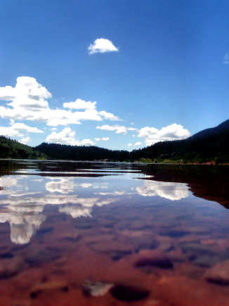
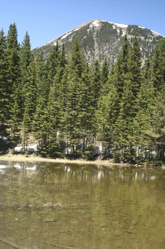
North Lake, Weston, Colorado, USA

Aspens 03

Monument Lake 3
One of 500
20080530_7964.jpg
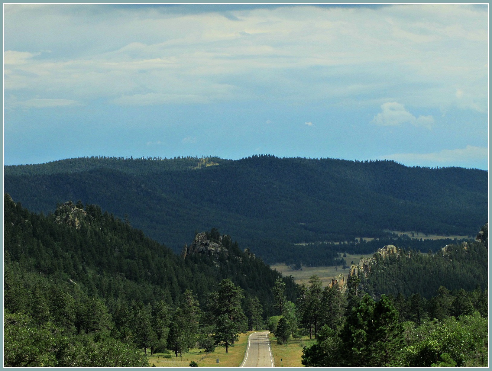
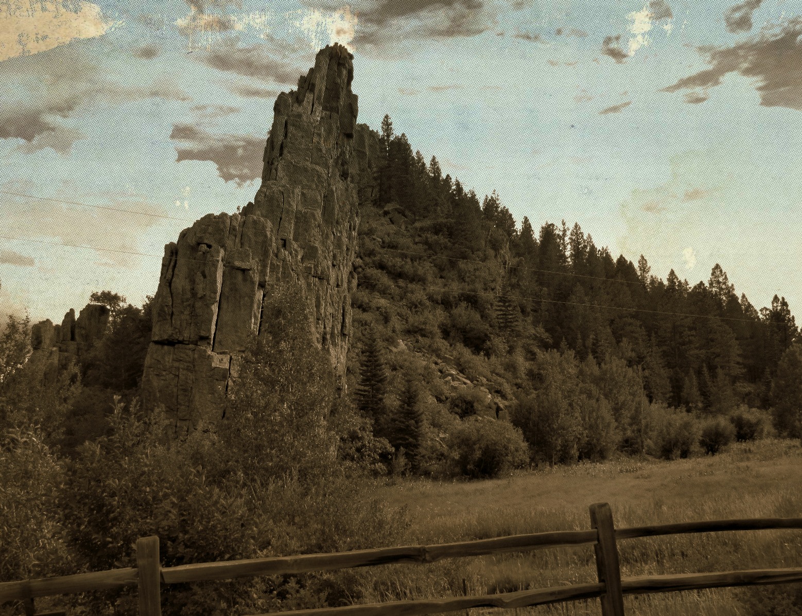
Road through the dikes

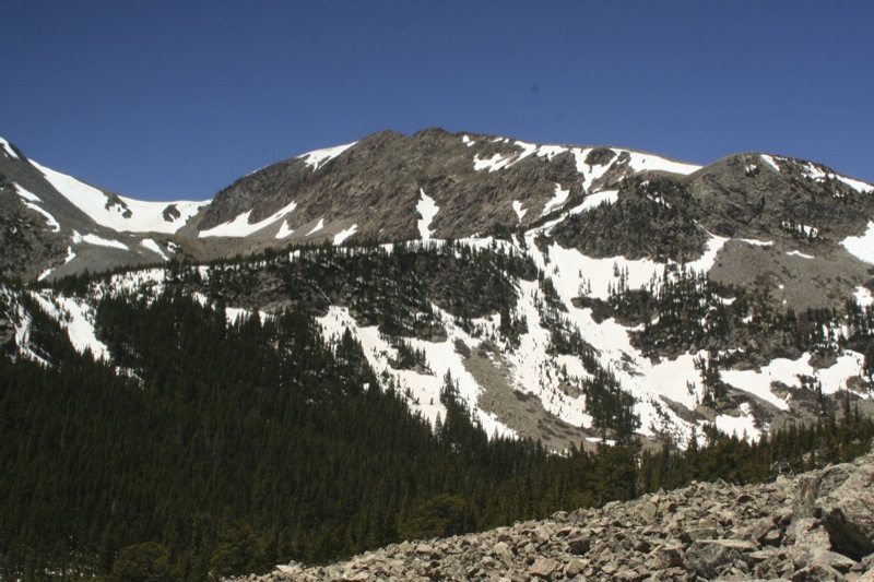
Spanish Peaks

20080530_7965.jpg
20080531_8050.jpg
20080530_7977.jpg
Topographic Map of CO-12, Weston, CO, USA
Find elevation by address:

Places near CO-12, Weston, CO, USA:
Parras Plaza
County Rd 21.6, Weston, CO, USA
12402 Co-12
12030 County Rd 23.3
County Road 23.3
Zamara
Weston, CO, USA
CO-12, Weston, CO, USA
11100 Logging Canyon Rd
Escondido Road
Rinconda Trail
14420 County Rd 21.6
14400 Logging Canyon Rd
13121 Northridge Rd
County Road 21.6
Spanish Peaks Trail
13333 Stonewall Parallel Rd
Stonewall Parallel
Stonewall
7600 Co-12
Recent Searches:
- Elevation of Corso Fratelli Cairoli, 35, Macerata MC, Italy
- Elevation of Tallevast Rd, Sarasota, FL, USA
- Elevation of 4th St E, Sonoma, CA, USA
- Elevation of Black Hollow Rd, Pennsdale, PA, USA
- Elevation of Oakland Ave, Williamsport, PA, USA
- Elevation of Pedrógão Grande, Portugal
- Elevation of Klee Dr, Martinsburg, WV, USA
- Elevation of Via Roma, Pieranica CR, Italy
- Elevation of Tavkvetili Mountain, Georgia
- Elevation of Hartfords Bluff Cir, Mt Pleasant, SC, USA