Elevation of Stonewall Parallel Rd, Weston, CO, USA
Location: United States > Colorado > Costilla County > Weston >
Longitude: -105.00555
Latitude: 37.1720698
Elevation: 2576m / 8451feet
Barometric Pressure: 74KPa
Elevation Map:
Satellite Map:
Related Photos:

HDR Quakies
20080530_7957.jpg
Clear Day

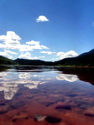
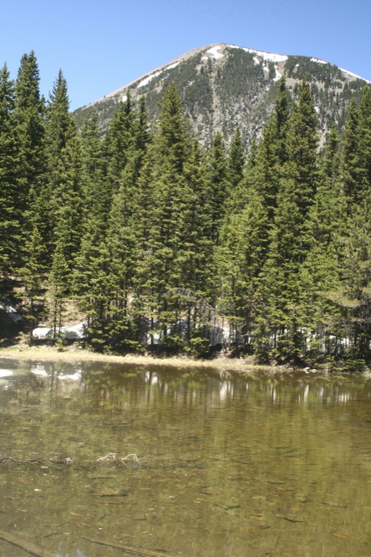
North Lake, Weston, Colorado, USA

Morning Aspens

Monument Lake 3
One of 500
20080530_7964.jpg
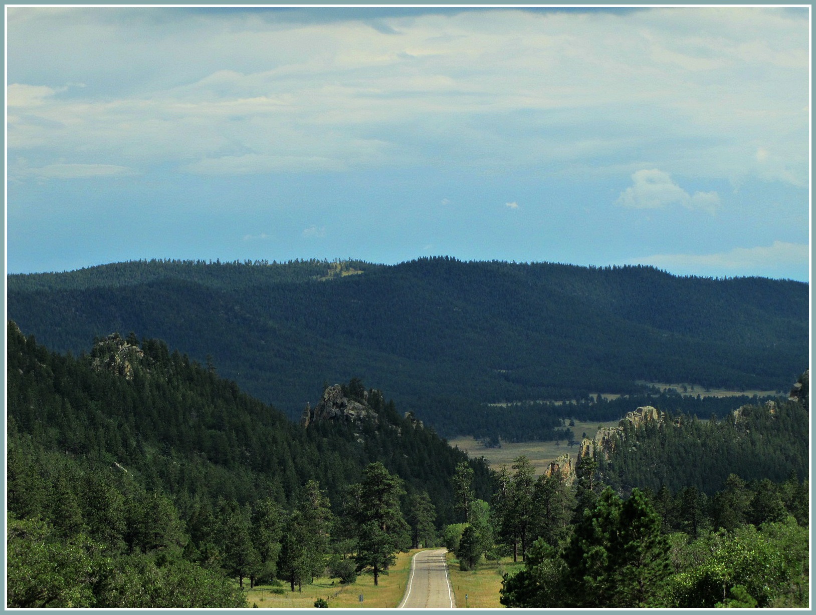
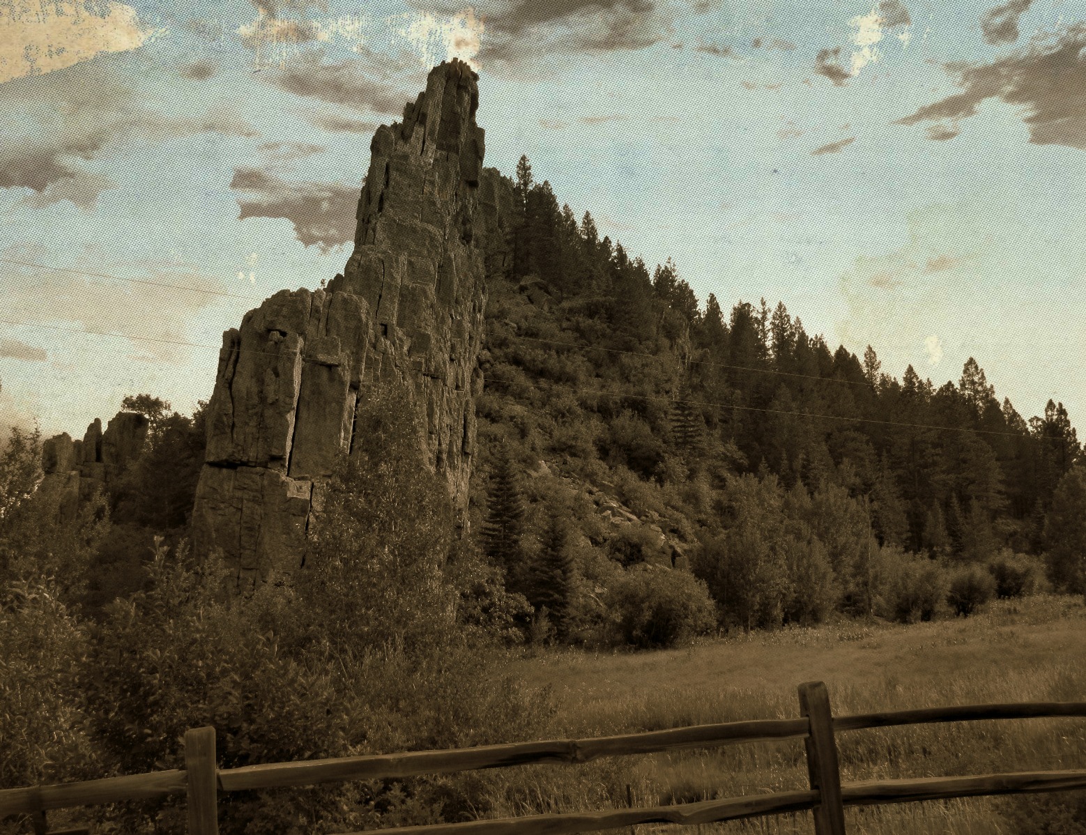
Road through the dikes

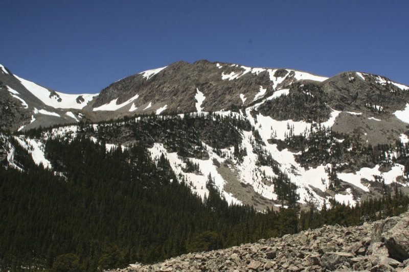
Spanish Peaks

20080530_7965.jpg
20080530_7977.jpg
20080531_8130.jpg
Topographic Map of Stonewall Parallel Rd, Weston, CO, USA
Find elevation by address:

Places near Stonewall Parallel Rd, Weston, CO, USA:
Stonewall Parallel
Stonewall
7600 Co-12
7555 Co-12
14483 W Valley Rd
Weston, CO, USA
County Road 21.6
14420 County Rd 21.6
6872 Co-12
Stonewall Gap
11100 Logging Canyon Rd
CO-12, Weston, CO, USA
County Rd 21.6, Weston, CO, USA
Parras Plaza
11200 Co-12
Monument Park
14400 Logging Canyon Rd
12402 Co-12
County Road 23.3
12030 County Rd 23.3
Recent Searches:
- Elevation of Corso Fratelli Cairoli, 35, Macerata MC, Italy
- Elevation of Tallevast Rd, Sarasota, FL, USA
- Elevation of 4th St E, Sonoma, CA, USA
- Elevation of Black Hollow Rd, Pennsdale, PA, USA
- Elevation of Oakland Ave, Williamsport, PA, USA
- Elevation of Pedrógão Grande, Portugal
- Elevation of Klee Dr, Martinsburg, WV, USA
- Elevation of Via Roma, Pieranica CR, Italy
- Elevation of Tavkvetili Mountain, Georgia
- Elevation of Hartfords Bluff Cir, Mt Pleasant, SC, USA