Elevation of North Okanagan D, BC, Canada
Location: Canada > British Columbia > North Okanagan >
Longitude: -118.8433301
Latitude: 50.1890871
Elevation: 1382m / 4534feet
Barometric Pressure: 0KPa
Related Photos:

the shed - right view

the neighbours used car lot

Bluenose Mountain Sunset

horsies!

Aberdeen Lake

Aberdeen Lake
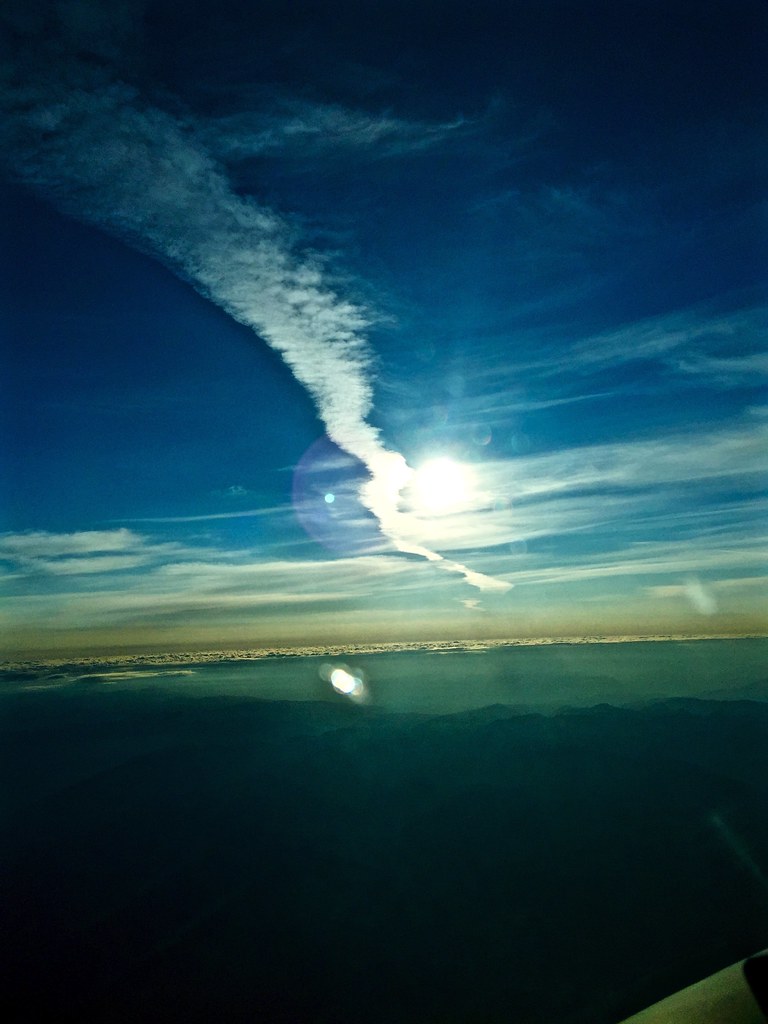
Sunrise Contrail

_CGP1864 - Shuswap Falls

_CGP1817-Wilsey Dam

IMG_7057.jpg

_CGP1838 - Shuswap Falls

_CGP1858 - Shuswap Falls

_CGP1813 - Shuswap Falls

_CGP1818 - Wilsey Dam
Topographic Map of North Okanagan D, BC, Canada
Find elevation by address:

Places in North Okanagan D, BC, Canada:
Places near North Okanagan D, BC, Canada:
Blue Springs Road
1879 Faulkner Ave
Lumby
2075 Mountain View Ave
Hurt Road
404 Whitevale Rd
Whitevale Road
144 Horner Rd
North Okanagan
1297 Bc-6
Buck Hills Road
50 Thompson Rd
Cherryville
Conn Road
2996 Lumby-mabel Lake Rd
Bluenose Road
Bardolph Lake
V1b 3e2
Nicklen Lake Resort
2009 Parkwood Dr
Recent Searches:
- Elevation of Pasing, Munich, Bavaria, 81241, Germany
- Elevation of 24, Auburn Bay Crescent SE, Auburn Bay, Calgary, Alberta, T3M 0A6, Canada
- Elevation of Denver, 2314, Arapahoe Street, Five Points, Denver, Colorado, 80205, USA
- Elevation of Community of the Beatitudes, 2924, West 43rd Avenue, Sunnyside, Denver, Colorado, 80211, USA
- Elevation map of Litang County, Sichuan, China
- Elevation map of Madoi County, Qinghai, China
- Elevation of 3314, Ohio State Route 114, Payne, Paulding County, Ohio, 45880, USA
- Elevation of Sarahills Drive, Saratoga, Santa Clara County, California, 95070, USA
- Elevation of Town of Bombay, Franklin County, New York, USA
- Elevation of 9, Convent Lane, Center Moriches, Suffolk County, New York, 11934, USA
- Elevation of Saint Angelas Convent, 9, Convent Lane, Center Moriches, Suffolk County, New York, 11934, USA
- Elevation of 131st Street Southwest, Mukilteo, Snohomish County, Washington, 98275, USA
- Elevation of 304, Harrison Road, Naples, Cumberland County, Maine, 04055, USA
- Elevation of 2362, Timber Ridge Road, Harrisburg, Cabarrus County, North Carolina, 28075, USA
- Elevation of Ridge Road, Marshalltown, Marshall County, Iowa, 50158, USA
- Elevation of 2459, Misty Shadows Drive, Pigeon Forge, Sevier County, Tennessee, 37862, USA
- Elevation of 8043, Brightwater Way, Spring Hill, Williamson County, Tennessee, 37179, USA
- Elevation of Starkweather Road, San Luis, Costilla County, Colorado, 81152, USA
- Elevation of 5277, Woodside Drive, Baton Rouge, East Baton Rouge Parish, Louisiana, 70808, USA
- Elevation of 1139, Curtin Street, Shepherd Park Plaza, Houston, Harris County, Texas, 77018, USA