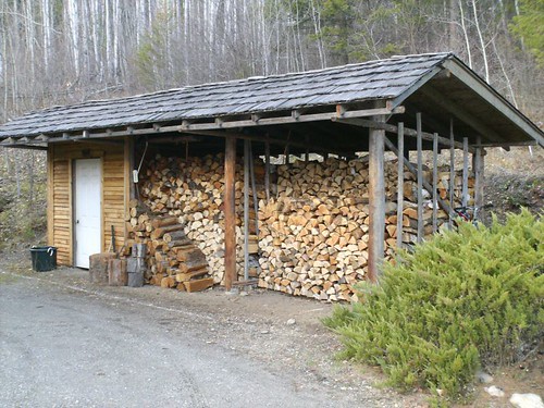
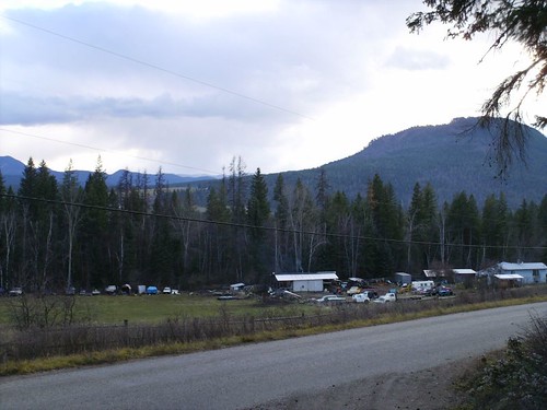
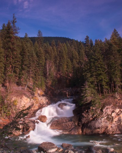
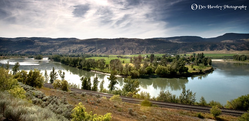
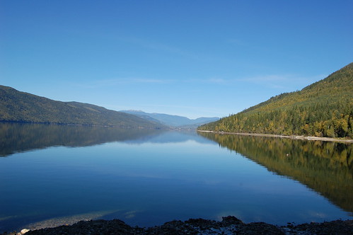
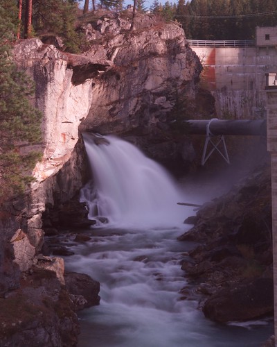
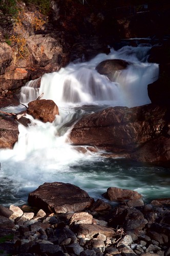
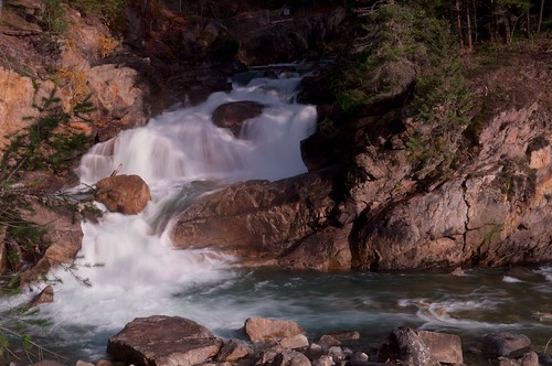
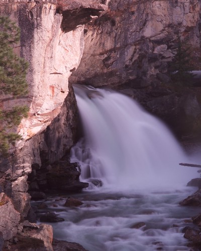
Elevation map of North Okanagan, BC, Canada
Location: Canada > British Columbia >
Longitude: -118.78409
Latitude: 50.3398977
Elevation: 608m / 1995feet
Barometric Pressure: 94KPa
Related Photos:
Topographic Map of North Okanagan, BC, Canada
Find elevation by address:

Places in North Okanagan, BC, Canada:
Vernon
Enderby
Spallumcheen
North Okanagan F
North Okanagan E
Lumby
Coldstream
North Okanagan C
North Okanagan D
North Okanagan B
Places near North Okanagan, BC, Canada:
2996 Lumby-mabel Lake Rd
Conn Road
1297 Bc-6
Blue Springs Road
North Okanagan D
Cherryville
Hurt Road
50 Thompson Rd
Lumby
1879 Faulkner Ave
2075 Mountain View Ave
Mabel Lake
2310 Trinity Valley Rd
Hidden Lake Road
404 Whitevale Rd
Whitevale Road
2310 Trinity Valley Rd
2406 Trinity Valley Rd
144 Horner Rd
2061 Enderby Mabel Lake Rd
Recent Searches:
- Elevation of Corso Fratelli Cairoli, 35, Macerata MC, Italy
- Elevation of Tallevast Rd, Sarasota, FL, USA
- Elevation of 4th St E, Sonoma, CA, USA
- Elevation of Black Hollow Rd, Pennsdale, PA, USA
- Elevation of Oakland Ave, Williamsport, PA, USA
- Elevation of Pedrógão Grande, Portugal
- Elevation of Klee Dr, Martinsburg, WV, USA
- Elevation of Via Roma, Pieranica CR, Italy
- Elevation of Tavkvetili Mountain, Georgia
- Elevation of Hartfords Bluff Cir, Mt Pleasant, SC, USA
