Elevation of 50 Thompson Rd, Cherryville, BC V0E 2G3, Canada
Location: Canada > British Columbia > North Okanagan > North Okanagan E > Cherryville >
Longitude: -118.63464
Latitude: 50.213131
Elevation: 785m / 2575feet
Barometric Pressure: 92KPa
Elevation Map:
Satellite Map:
Related Photos:

_CGP1864 - Shuswap Falls

_CGP1817-Wilsey Dam

_CGP1838 - Shuswap Falls

_CGP1858 - Shuswap Falls

_CGP1813 - Shuswap Falls

_CGP1818 - Wilsey Dam
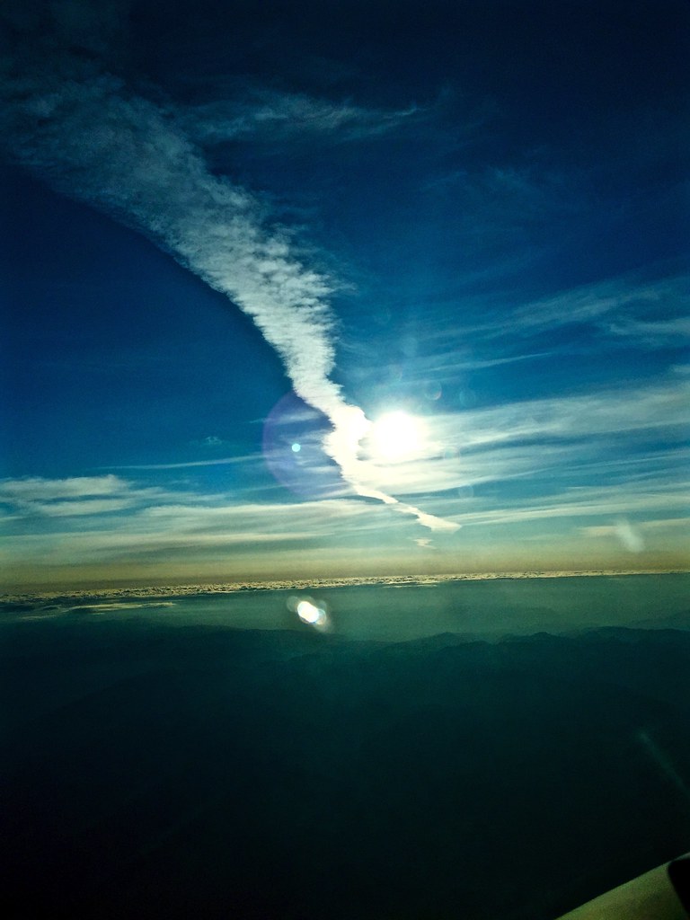
Sunrise Contrail

IMG_7057.jpg

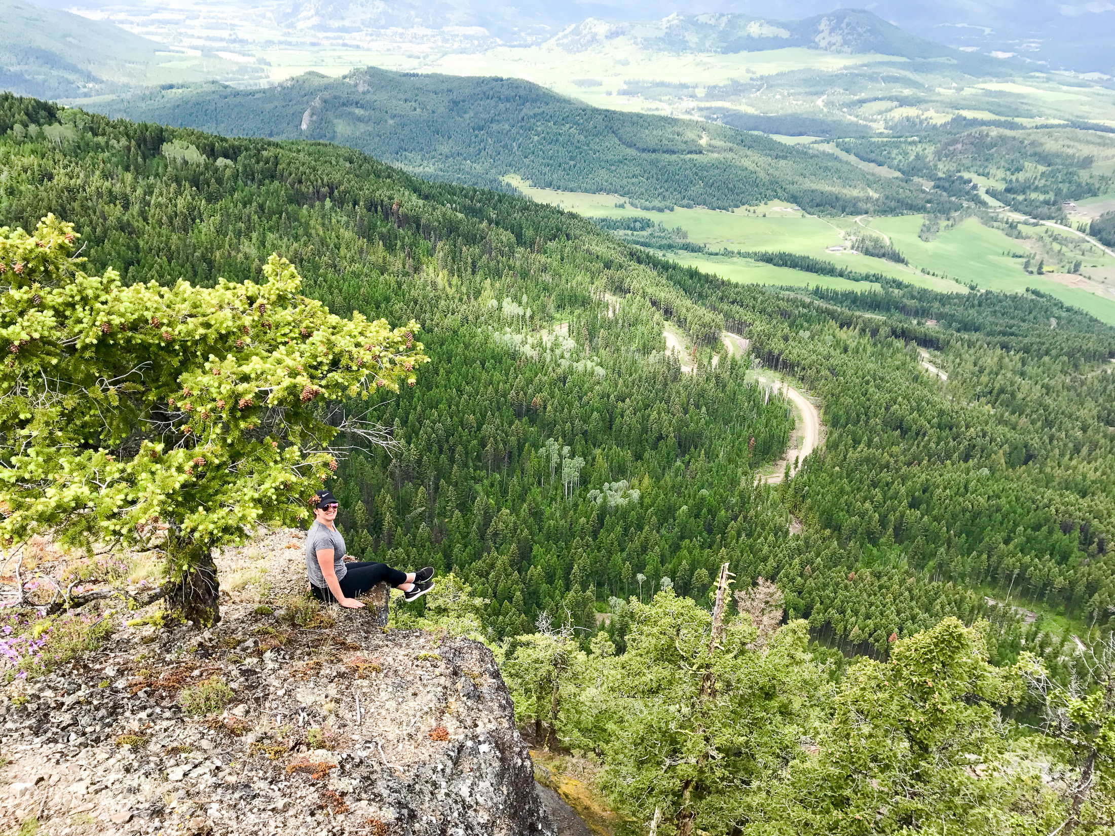
Another RV Camping Morning

IMG_7065.jpg

IMG_7164.jpg

IMG_7163.jpg

IMG_7162.jpg

IMG_7158.jpg

IMG_7156.jpg

IMG_7154.jpg

IMG_7153.jpg

IMG_7147.jpg

IMG_7145.jpg

IMG_7142.jpg

IMG_7141.jpg

IMG_7133.jpg

IMG_7130.jpg

IMG_7129.jpg
IMG_7123.jpg

IMG_7121.jpg

IMG_7118.jpg

IMG_7114.jpg
Topographic Map of 50 Thompson Rd, Cherryville, BC V0E 2G3, Canada
Find elevation by address:

Places near 50 Thompson Rd, Cherryville, BC V0E 2G3, Canada:
Cherryville
1297 Bc-6
North Okanagan E
North Okanagan
North Okanagan D
2996 Lumby-mabel Lake Rd
Blue Springs Road
Conn Road
Hurt Road
Lumby
1879 Faulkner Ave
Sugar Lake Road
2075 Mountain View Ave
404 Whitevale Rd
Whitevale Road
Mabel Lake
144 Horner Rd
Mabel Lake Forest Service Road
Buck Hills Road
30 Lusk Lake Rd
Recent Searches:
- Elevation of Corso Fratelli Cairoli, 35, Macerata MC, Italy
- Elevation of Tallevast Rd, Sarasota, FL, USA
- Elevation of 4th St E, Sonoma, CA, USA
- Elevation of Black Hollow Rd, Pennsdale, PA, USA
- Elevation of Oakland Ave, Williamsport, PA, USA
- Elevation of Pedrógão Grande, Portugal
- Elevation of Klee Dr, Martinsburg, WV, USA
- Elevation of Via Roma, Pieranica CR, Italy
- Elevation of Tavkvetili Mountain, Georgia
- Elevation of Hartfords Bluff Cir, Mt Pleasant, SC, USA