Elevation of North Grundy, VA, USA
Location: United States > Virginia > Buchanan County >
Longitude: -82.008014
Latitude: 37.3154704
Elevation: 564m / 1850feet
Barometric Pressure: 0KPa
Related Photos:
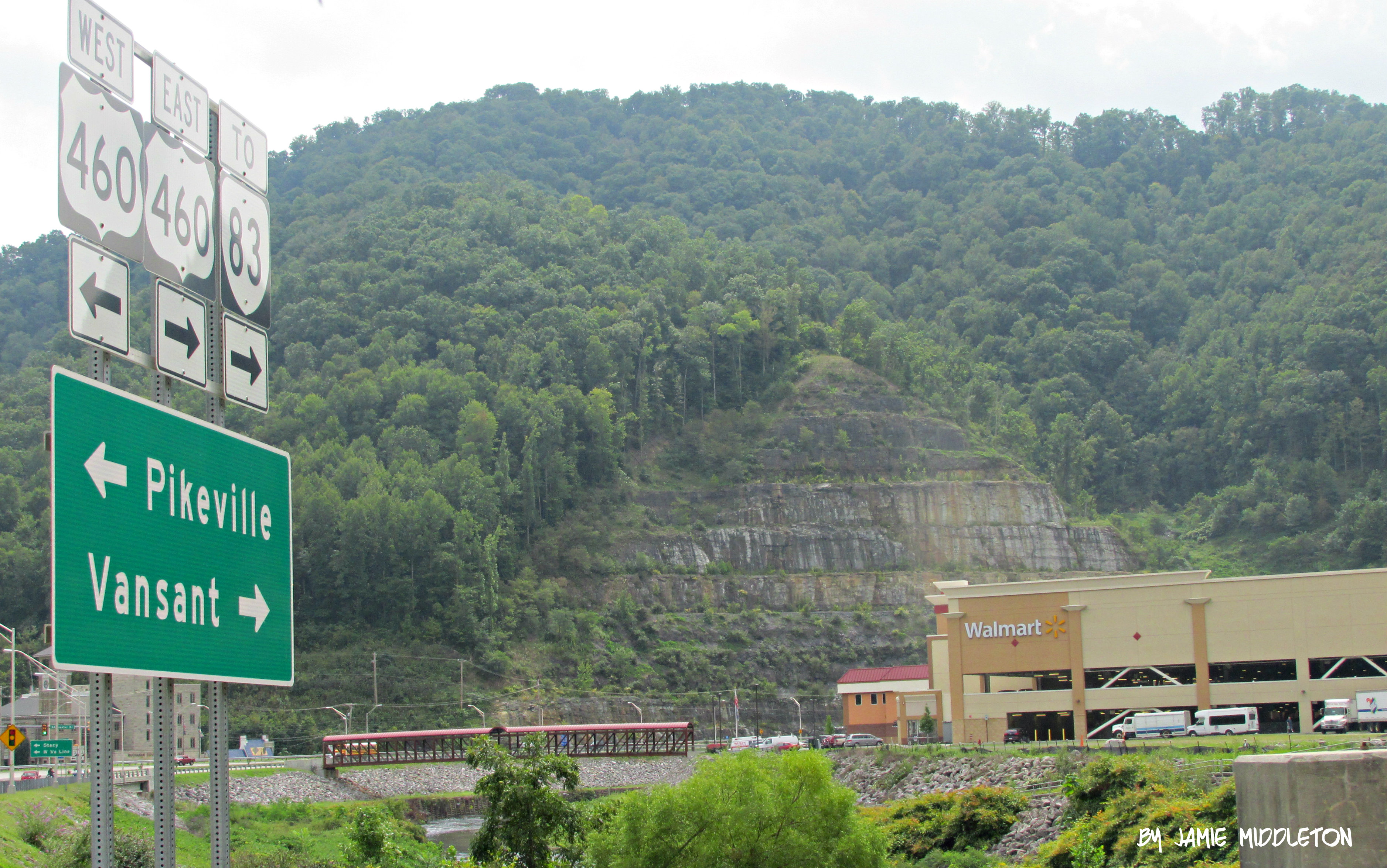
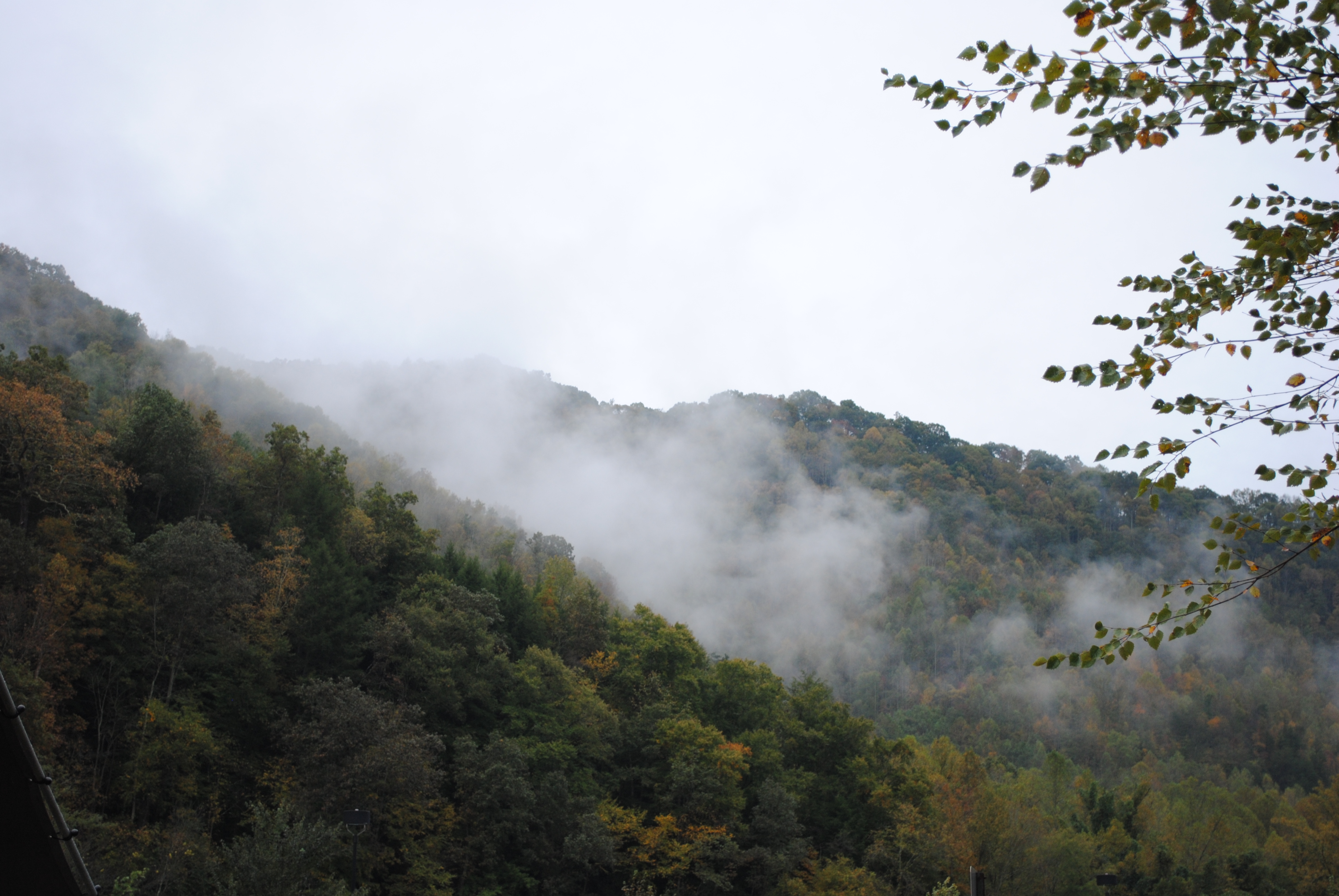
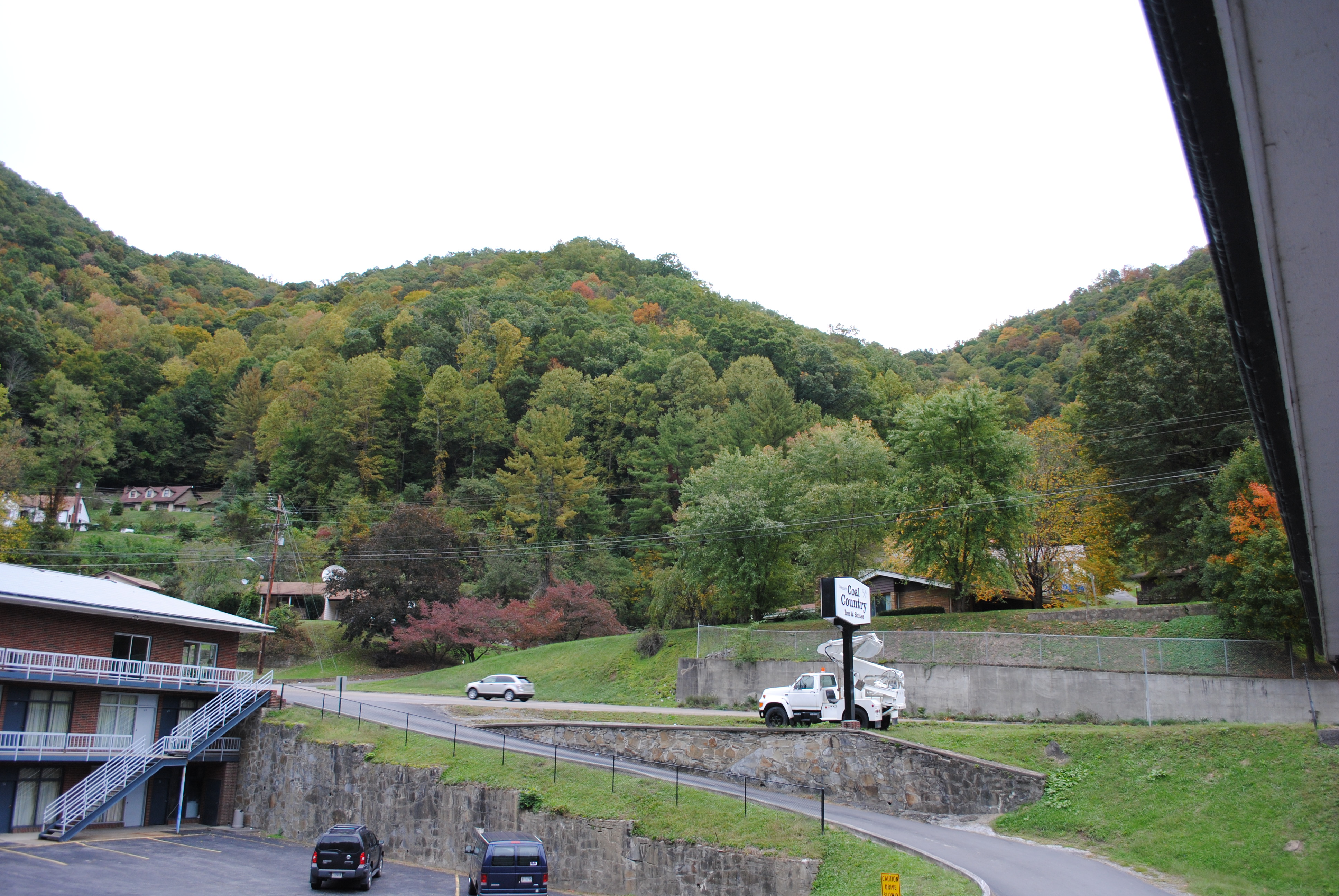
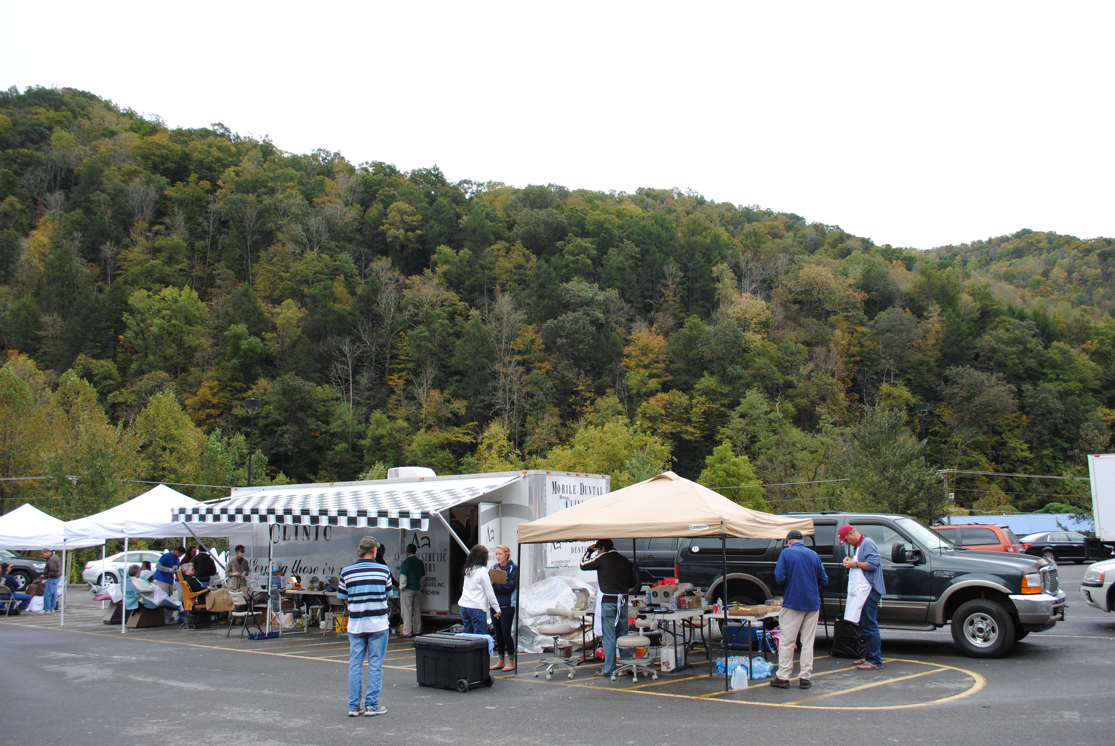
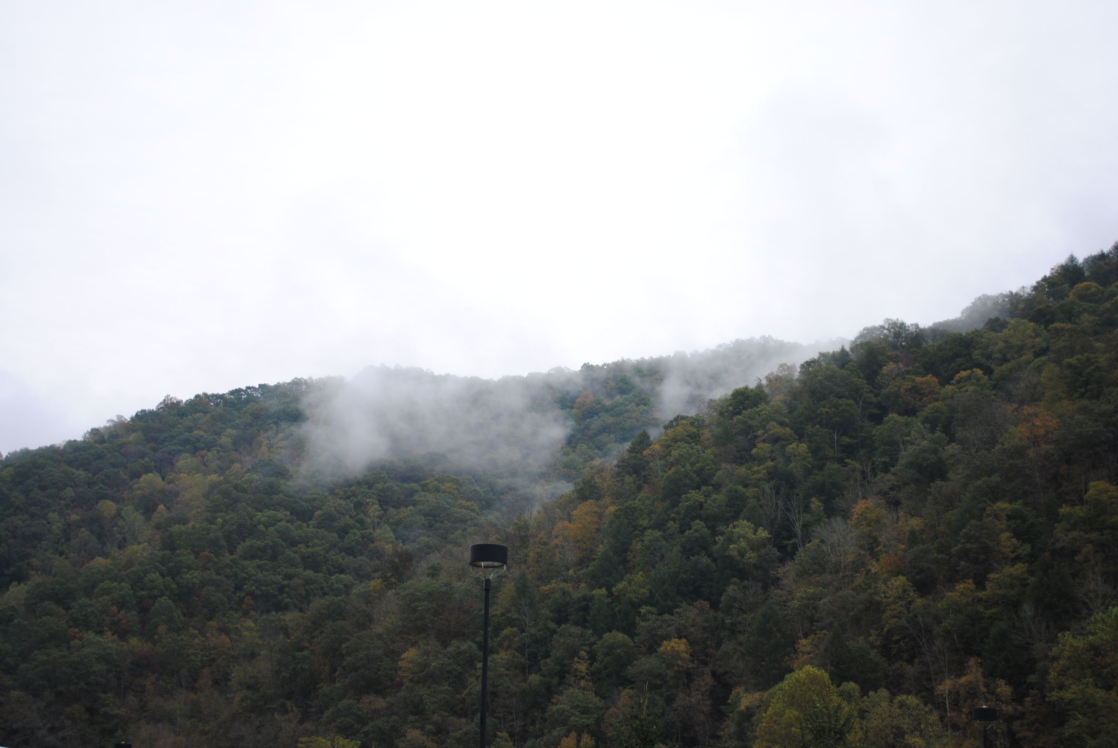
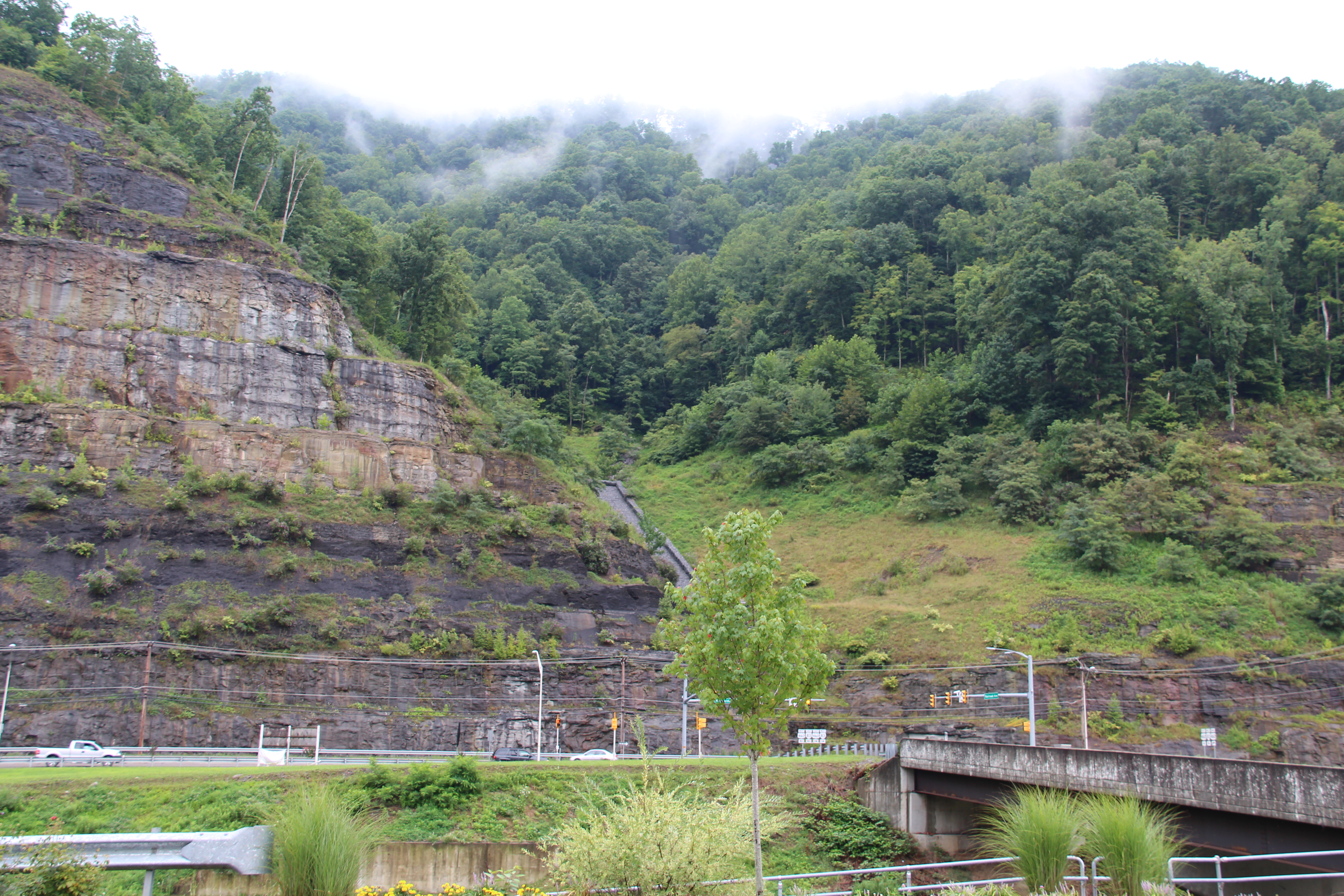
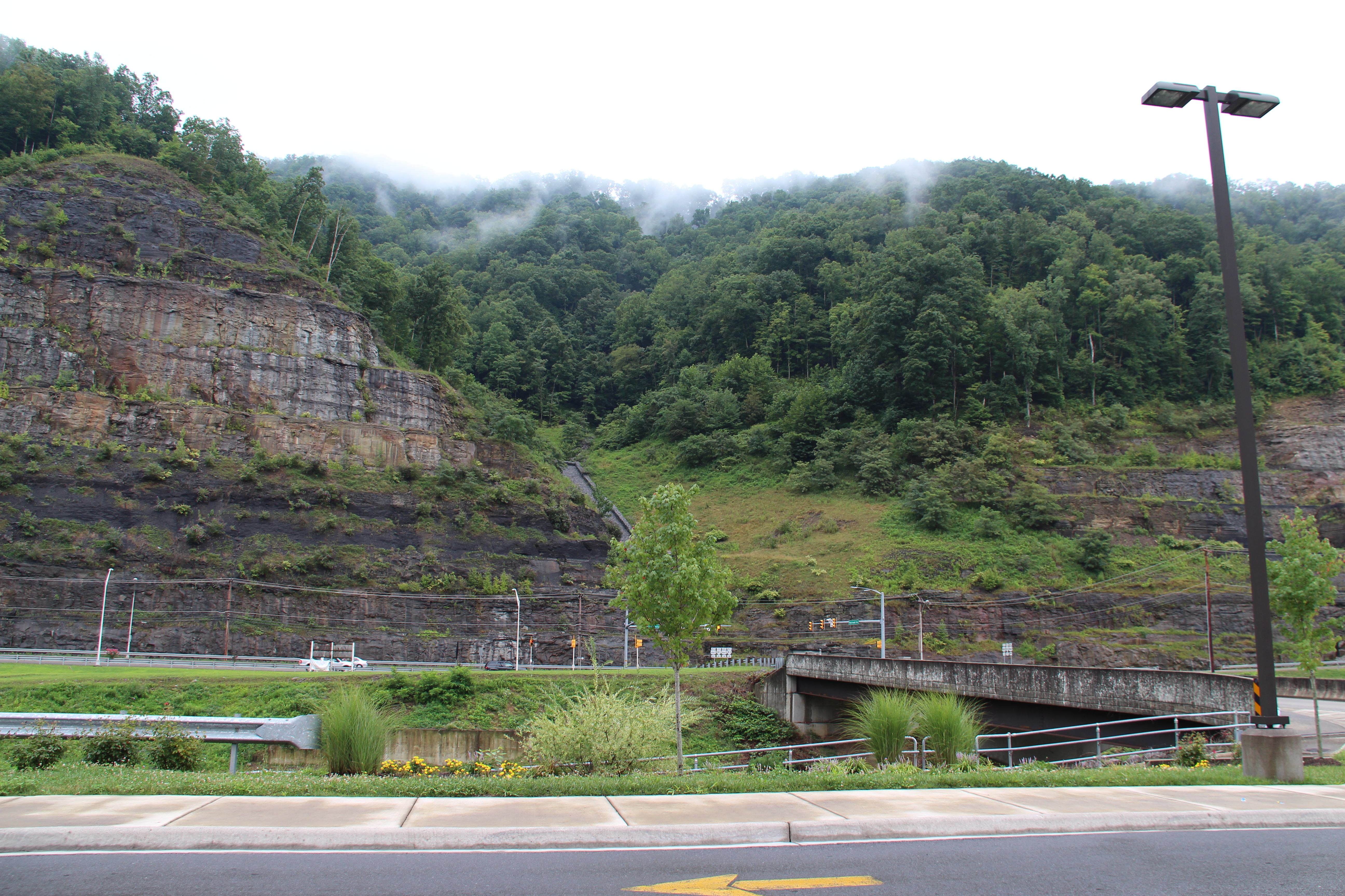
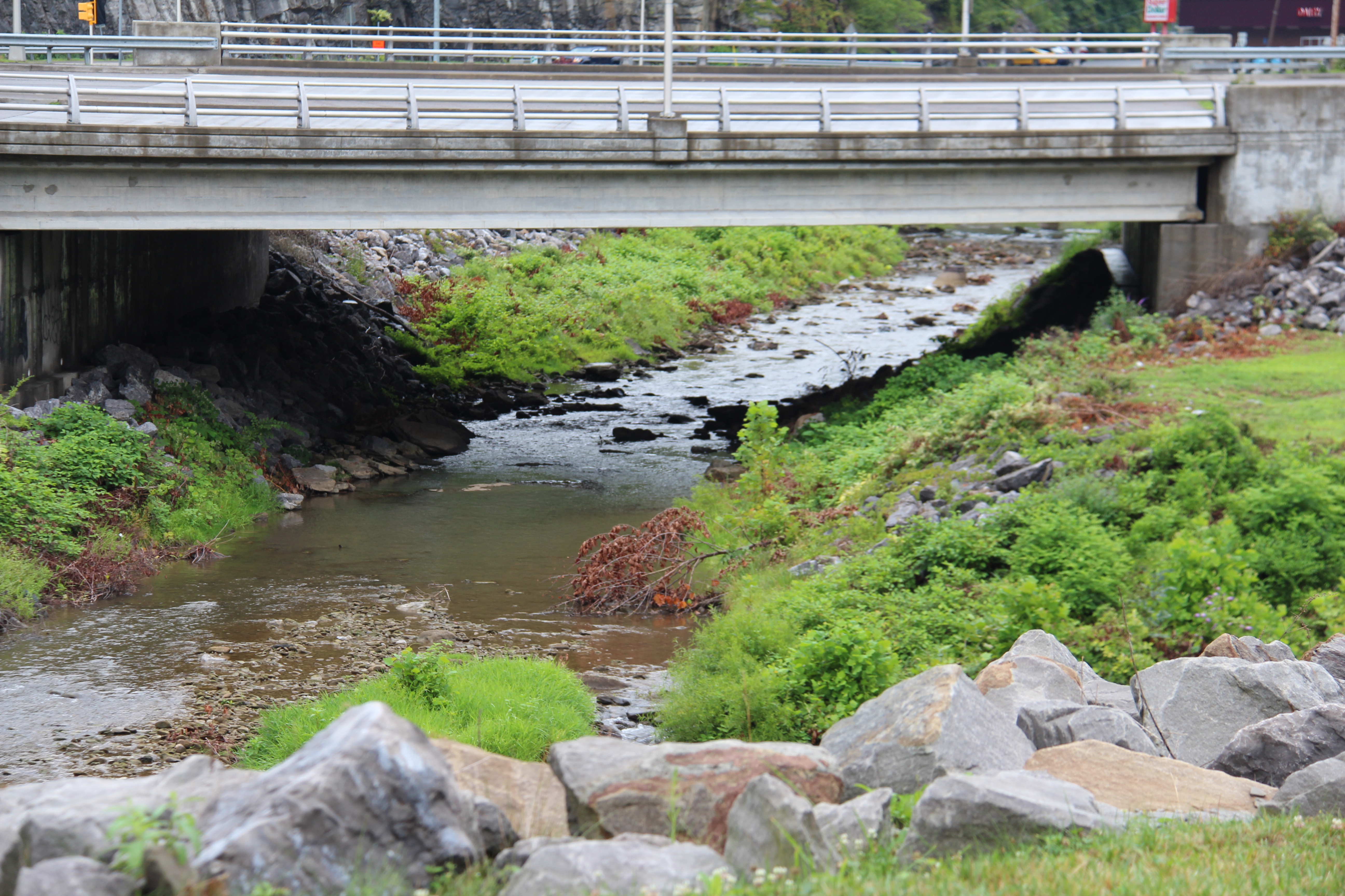
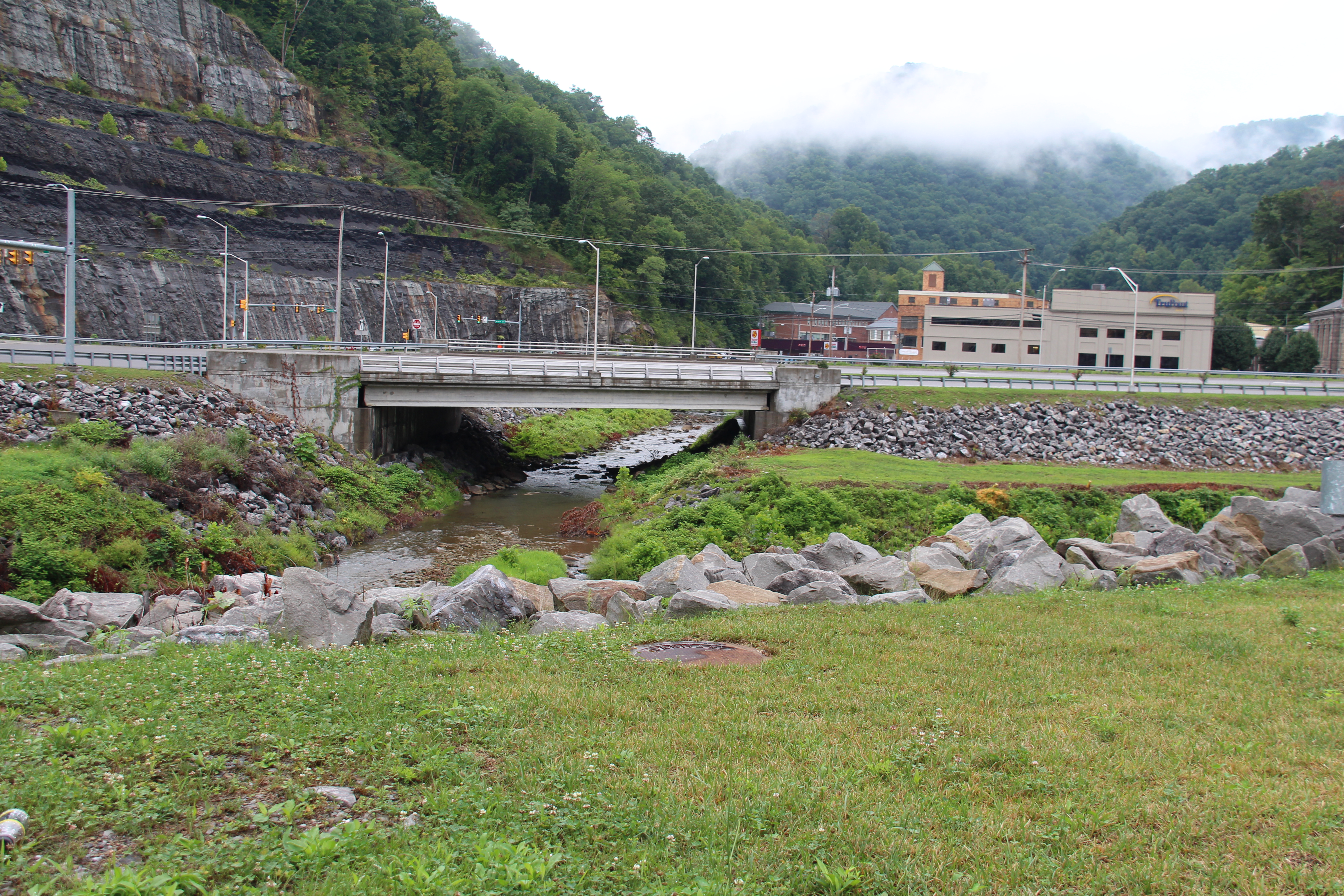
Grundy, Virginia

20081020-152502.jpg
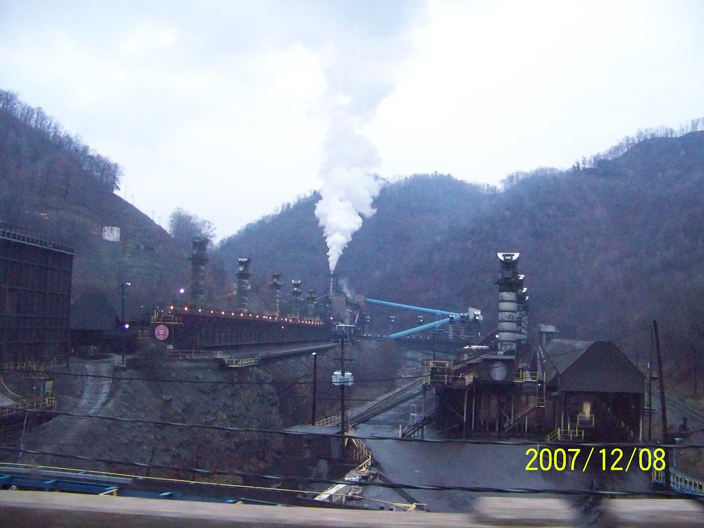
coke oven2

20081020-152449.jpg
Grundy, Virginia

20081020-152410.jpg
Grundy, Virginia
Grundy, Virginia
Grundy, Virginia
Grundy, Virginia
Grundy, Virginia
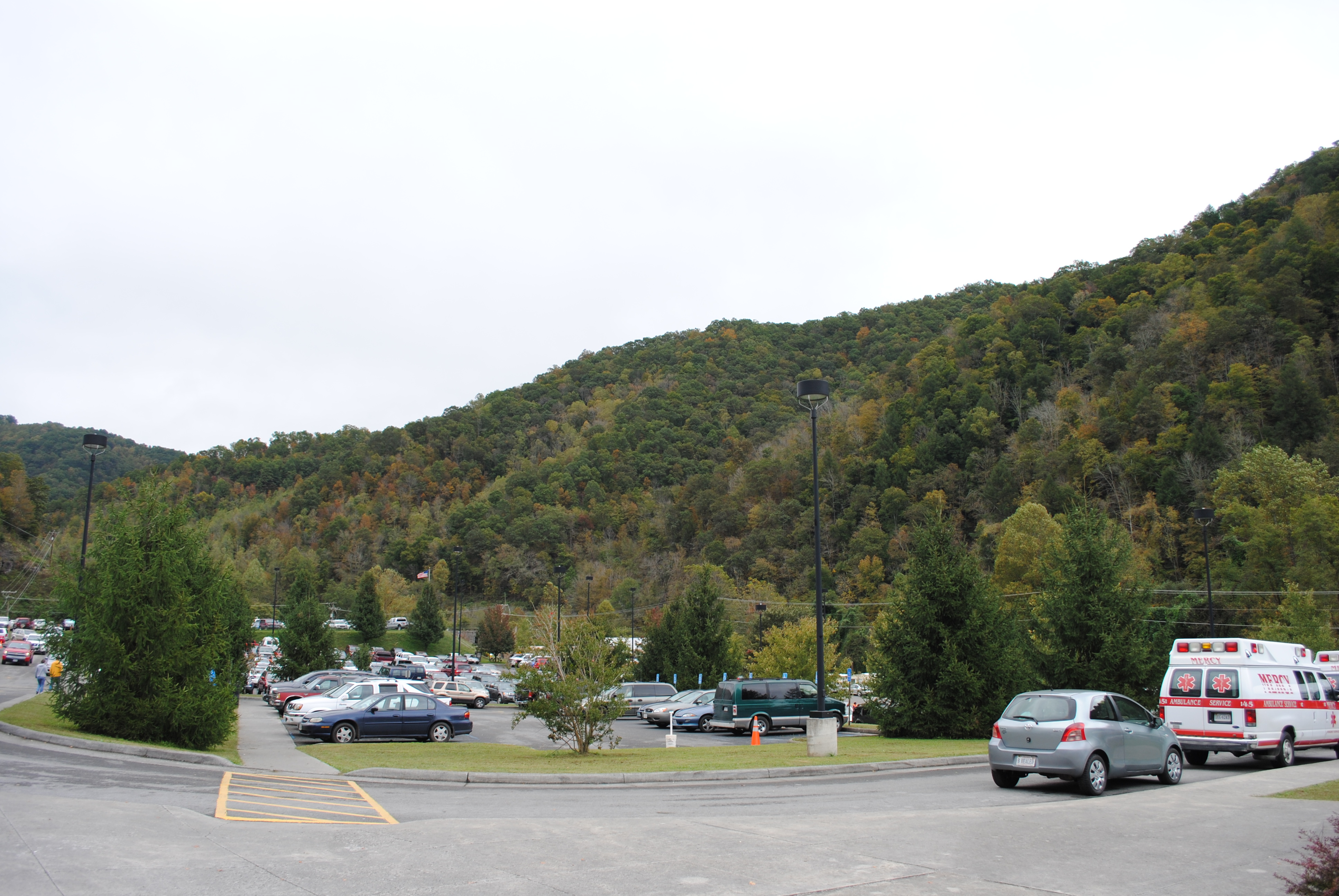
Grundy, Virginia
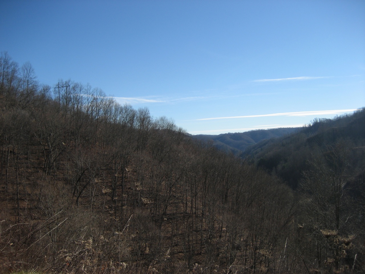
vandyke hollow 2
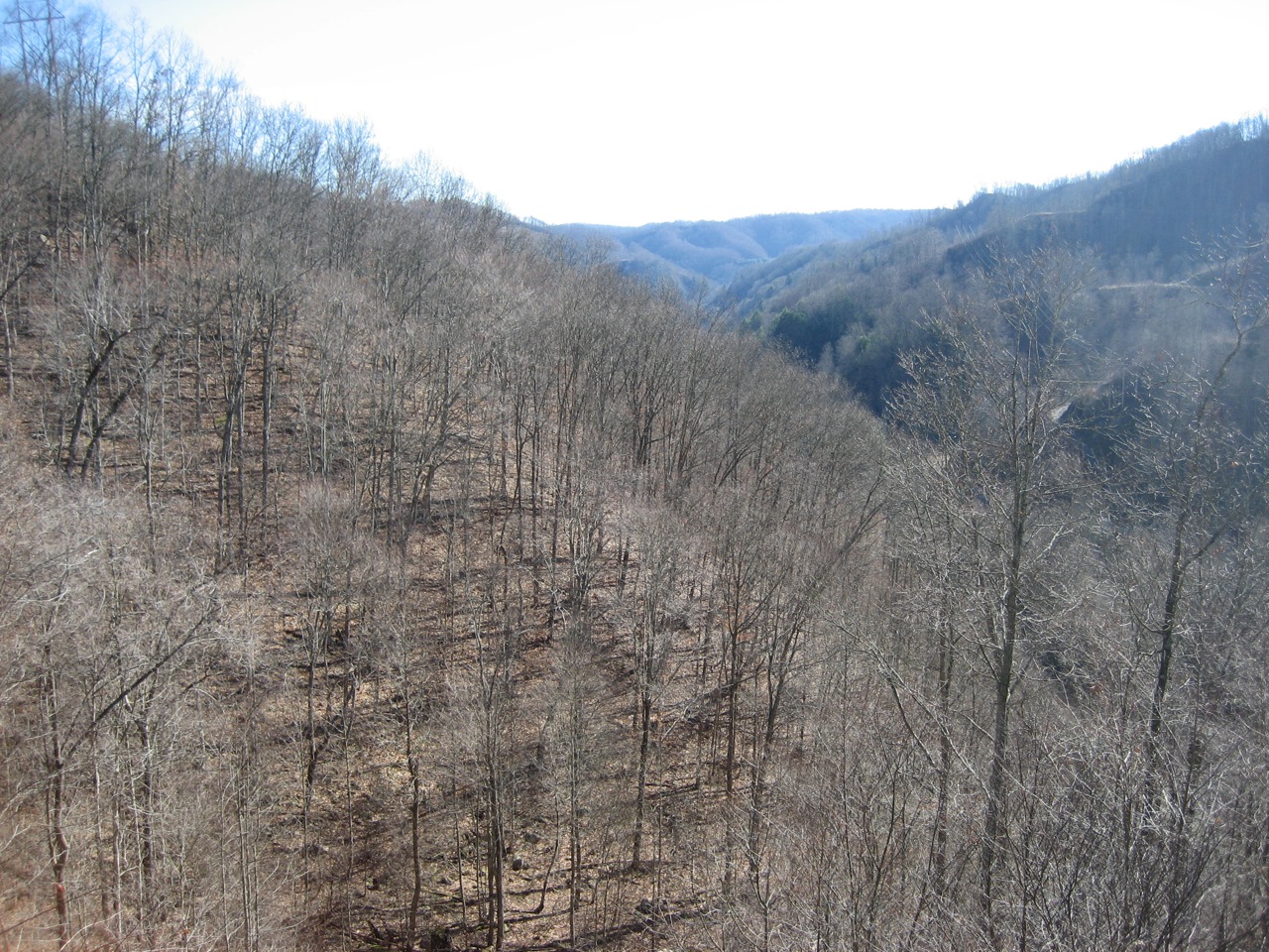
vandyke hollow
Grundy Cut

Grundy, Virginia

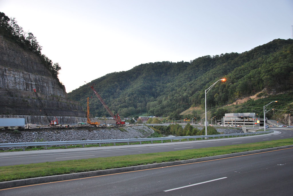
Southwestern Virginia US 460 Buchanan county County
IMG_0212.JPG
IMG_0213.JPG
IMG_0211.JPG
IMG_0210.JPG
Topographic Map of North Grundy, VA, USA
Find elevation by address:

Places in North Grundy, VA, USA:
Places near North Grundy, VA, USA:
1301 Charles Rd
1535 Slate Creek Rd
Booth Branch Road
1742 Booth Branch Rd
1748 Booth Branch Rd
1589 Slate Creek Rd
1834 Booth Branch Rd
Grundy
Grundy Funeral Home
Hurley
22006 Riverside Dr
Knox
Hoot Owl Street
1680 Puncheon Camp Rd
Jacks Creek Road
Jacks Creek Road
Jacks Creek Road
Jacks Creek Road
Elijah Branch Rd, Big Rock, VA, USA
Big Rock
Recent Searches:
- Elevation of 10370, West 107th Circle, Westminster, Jefferson County, Colorado, 80021, USA
- Elevation of 611, Roman Road, Old Ford, Bow, London, England, E3 2RW, United Kingdom
- Elevation of 116, Beartown Road, Underhill, Chittenden County, Vermont, 05489, USA
- Elevation of Window Rock, Colfax County, New Mexico, 87714, USA
- Elevation of 4807, Rosecroft Street, Kempsville Gardens, Virginia Beach, Virginia, 23464, USA
- Elevation map of Matawinie, Quebec, Canada
- Elevation of Sainte-Émélie-de-l'Énergie, Matawinie, Quebec, Canada
- Elevation of Rue du Pont, Sainte-Émélie-de-l'Énergie, Matawinie, Quebec, J0K2K0, Canada
- Elevation of 8, Rue de Bécancour, Blainville, Thérèse-De Blainville, Quebec, J7B1N2, Canada
- Elevation of Wilmot Court North, 163, University Avenue West, Northdale, Waterloo, Region of Waterloo, Ontario, N2L6B6, Canada
- Elevation map of Panamá Province, Panama
- Elevation of Balboa, Panamá Province, Panama
- Elevation of San Miguel, Balboa, Panamá Province, Panama
- Elevation of Isla Gibraleón, San Miguel, Balboa, Panamá Province, Panama
- Elevation of 4655, Krischke Road, Schulenburg, Fayette County, Texas, 78956, USA
- Elevation of Carnegie Avenue, Downtown Cleveland, Cleveland, Cuyahoga County, Ohio, 44115, USA
- Elevation of Walhonding, Coshocton County, Ohio, USA
- Elevation of Clifton Down, Clifton, Bristol, City of Bristol, England, BS8 3HU, United Kingdom
- Elevation map of Auvergne-Rhône-Alpes, France
- Elevation map of Upper Savoy, Auvergne-Rhône-Alpes, France