Elevation of Knox, VA, USA
| Latitude | 37.4329963 |
|---|---|
| Longitude | -82.0189155 |
| Elevation | 522m / 1713feet |
| Barometric Pressure | 952KPa |
Related Photos:

The way it is

Panther Creek Image 1 6-27-2004 Photo

Panther Creek Image 4 6-27-2004 Photo

Panther Creek Image 3 6-27-2004 Photo

Funky Junction

Tough Climb

Metal roofers

West Virginia, Kentucky, Virginia Borders from plane

Eastern tailed Blue - Grundy, VA

NS 8137 @ Home Creek, VA

SOU 630 at Virginia Lee, Home Creek, VA on April 12, 2014.
Hatfields and McCoys

Seven and rain...

For Tom - ICE in WV - Part I

Glen Alum Tunnel, North

Glen Alum Tunnel, North

Glen Alum Tunnel, South

Morning on the Tug Fork

Lonely place

Morning along the pokey

Glen Alum Tunnel, North - Glen Alum Junction, WV

Briar Mountain Branch
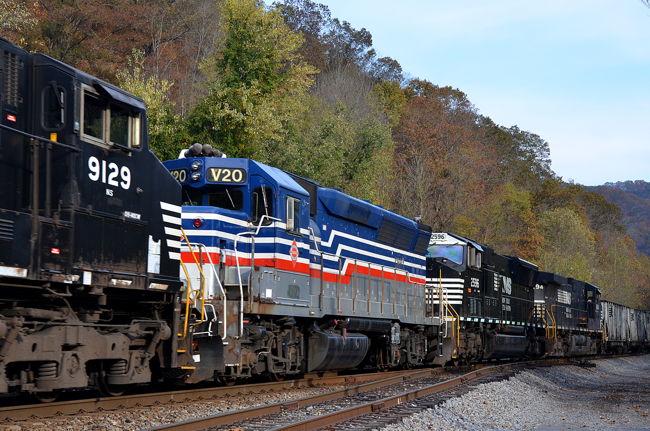
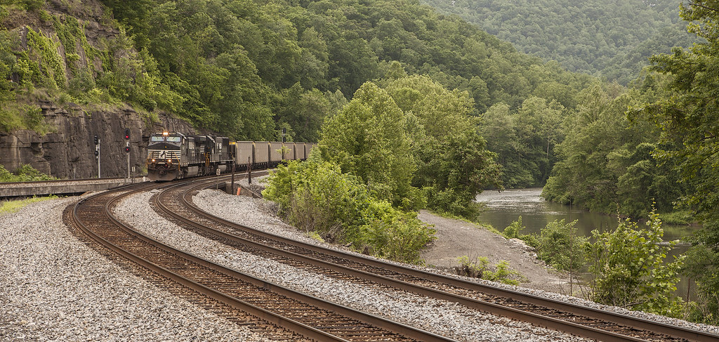
CRRX RP40-2C-V20 in W/B NS 185 at Panther, WV

A sad farewell
Topographic Map of Knox, VA, USA
Find elevation by address:
Places in Knox, VA, USA:
Places near Knox, VA, USA:
Hurley
1301 Charles Rd
1680 Puncheon Camp Rd
North Grundy
Jacks Creek Road
1535 Slate Creek Rd
1589 Slate Creek Rd
Jacks Creek Road
Jacks Creek Road
Jacks Creek Road
Booth Branch Road
1742 Booth Branch Rd
1748 Booth Branch Rd
1834 Booth Branch Rd
Grundy
Grundy Funeral Home
22006 Riverside Dr
Big Rock
Hoot Owl Street
Elijah Branch Rd, Big Rock, VA, USA
Recent Searches:
- Elevation of Burnt Store Village, Charlotte County, Florida, 33955, USA
- Elevation of 26552, Angelica Road, Punta Gorda, Charlotte County, Florida, 33955, USA
- Elevation of 104, Chancery Road, Middletown Township, Bucks County, Pennsylvania, 19047, USA
- Elevation of 1212, Cypress Lane, Dayton, Liberty County, Texas, 77535, USA
- Elevation map of Central Hungary, Hungary
- Elevation map of Pest, Central Hungary, Hungary
- Elevation of Pilisszentkereszt, Pest, Central Hungary, Hungary
- Elevation of Dharamkot Tahsil, Punjab, India
- Elevation of Bhinder Khurd, Dharamkot Tahsil, Punjab, India
- Elevation of 2881, Chabot Drive, San Bruno, San Mateo County, California, 94066, USA
- Elevation of 10370, West 107th Circle, Westminster, Jefferson County, Colorado, 80021, USA
- Elevation of 611, Roman Road, Old Ford, Bow, London, England, E3 2RW, United Kingdom
- Elevation of 116, Beartown Road, Underhill, Chittenden County, Vermont, 05489, USA
- Elevation of Window Rock, Colfax County, New Mexico, 87714, USA
- Elevation of 4807, Rosecroft Street, Kempsville Gardens, Virginia Beach, Virginia, 23464, USA
- Elevation map of Matawinie, Quebec, Canada
- Elevation of Sainte-Émélie-de-l'Énergie, Matawinie, Quebec, Canada
- Elevation of Rue du Pont, Sainte-Émélie-de-l'Énergie, Matawinie, Quebec, J0K2K0, Canada
- Elevation of 8, Rue de Bécancour, Blainville, Thérèse-De Blainville, Quebec, J7B1N2, Canada
- Elevation of Wilmot Court North, 163, University Avenue West, Northdale, Waterloo, Region of Waterloo, Ontario, N2L6B6, Canada