Elevation of Buchanan County, VA, USA
Location: United States > Virginia >
Longitude: -81.997110
Latitude: 37.2403134
Elevation: 540m / 1772feet
Barometric Pressure: 95KPa
Elevation Map:
Satellite Map:
Related Photos:
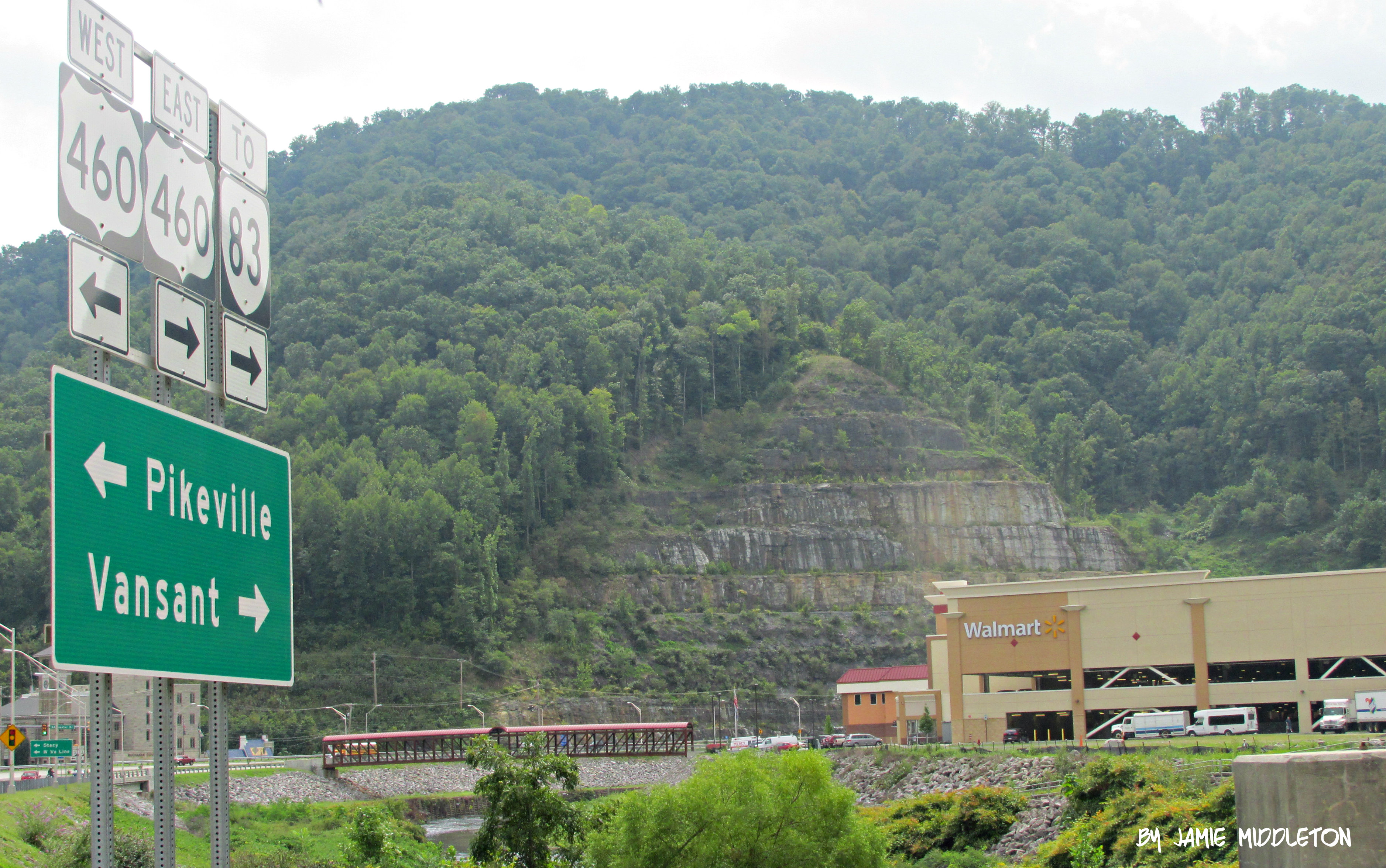
Grundy, Virginia

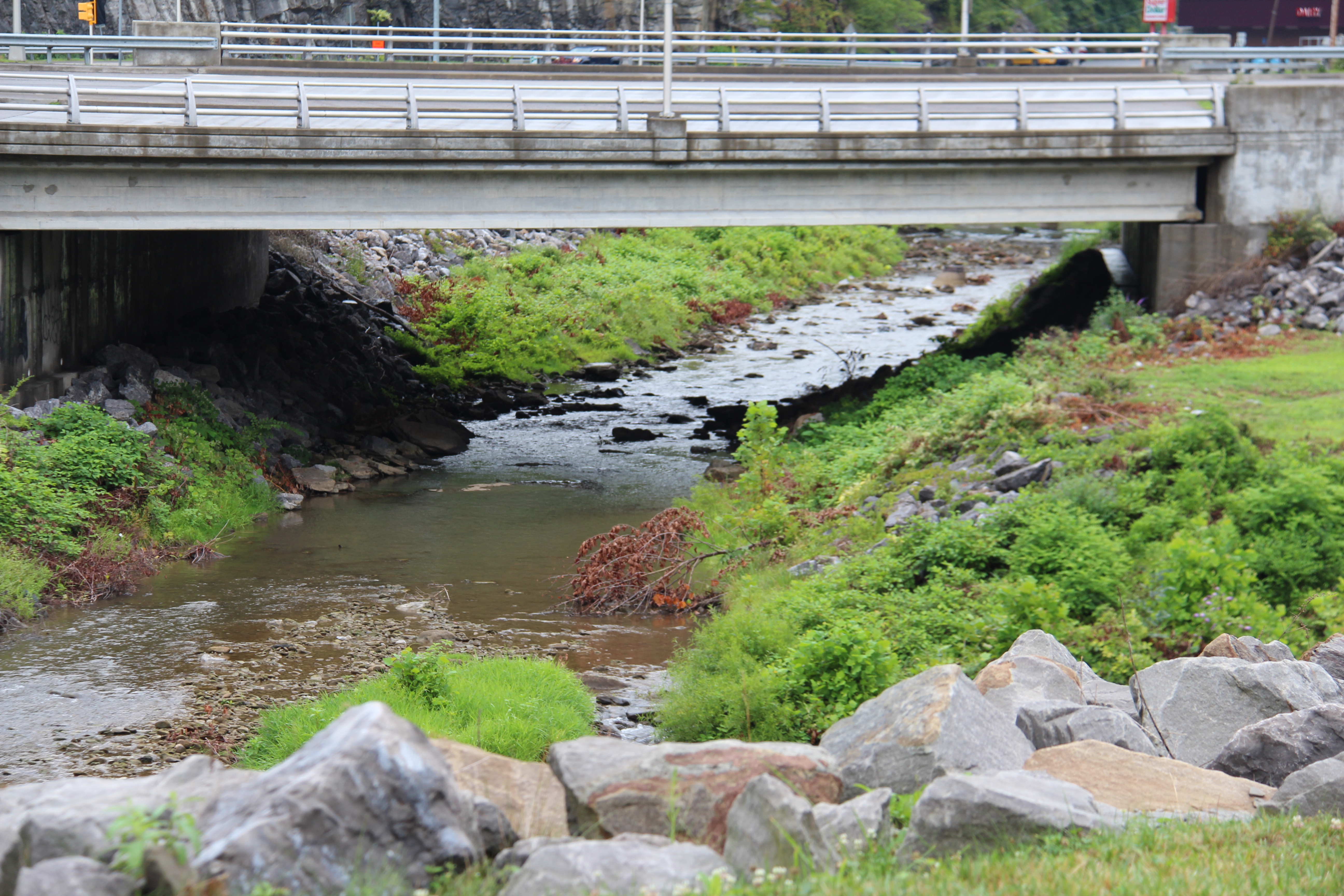
Bridge 564-05

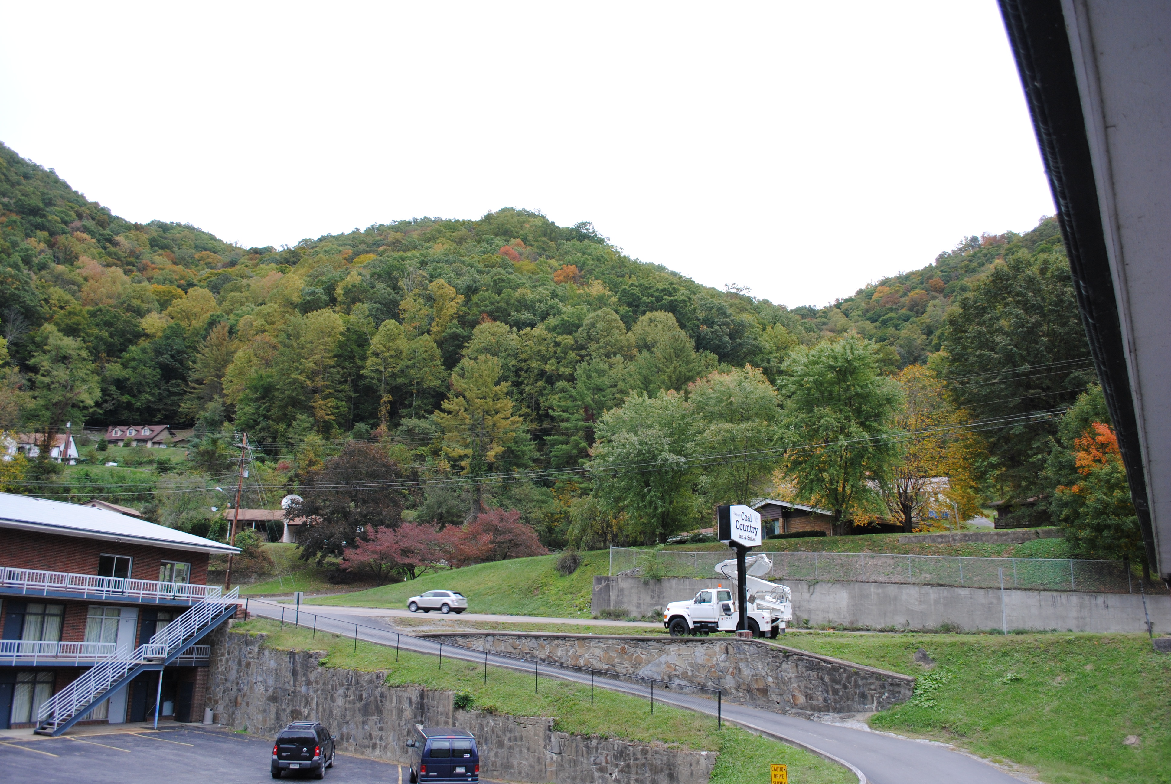
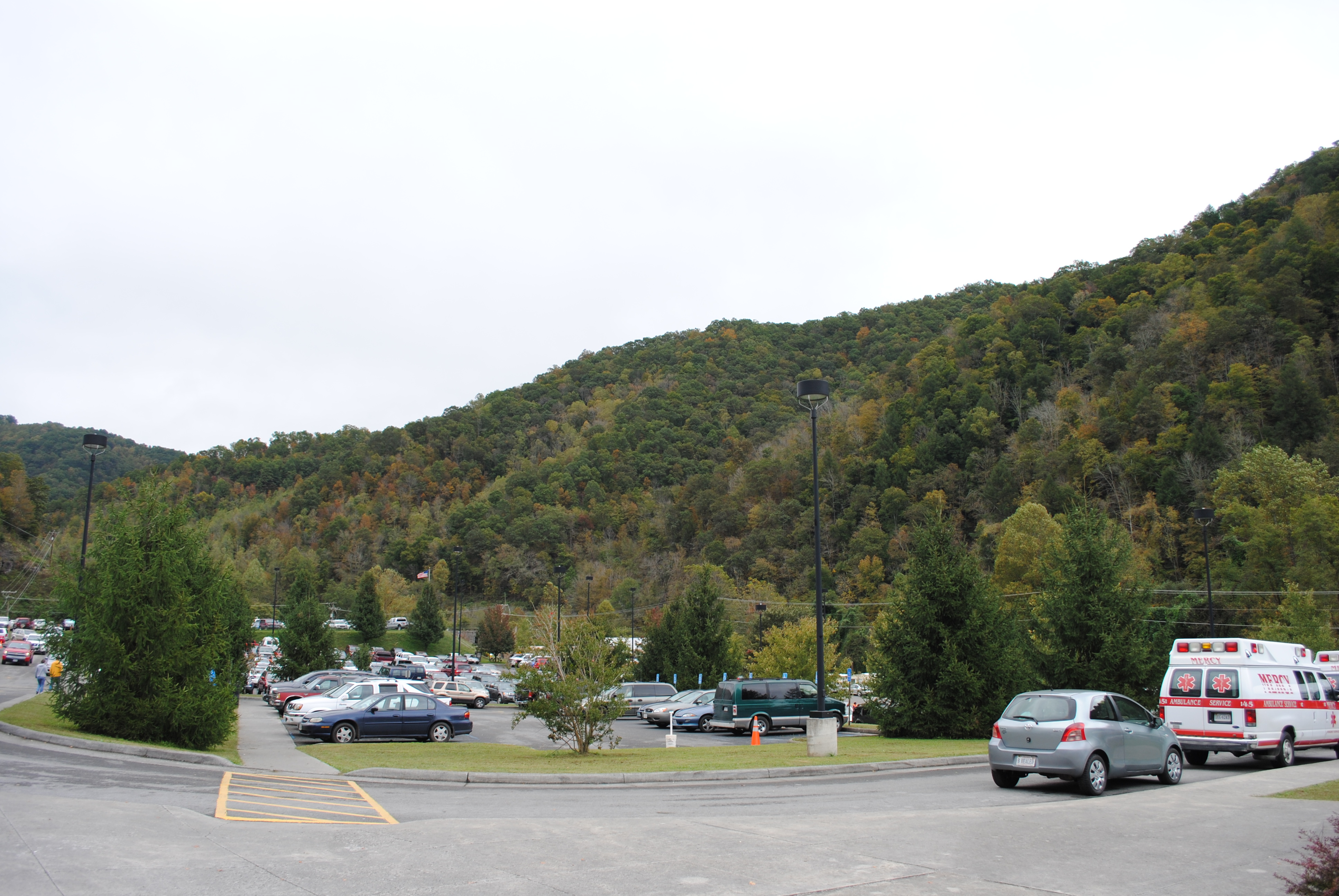
Grundy, Virginia

Grundy, Virginia
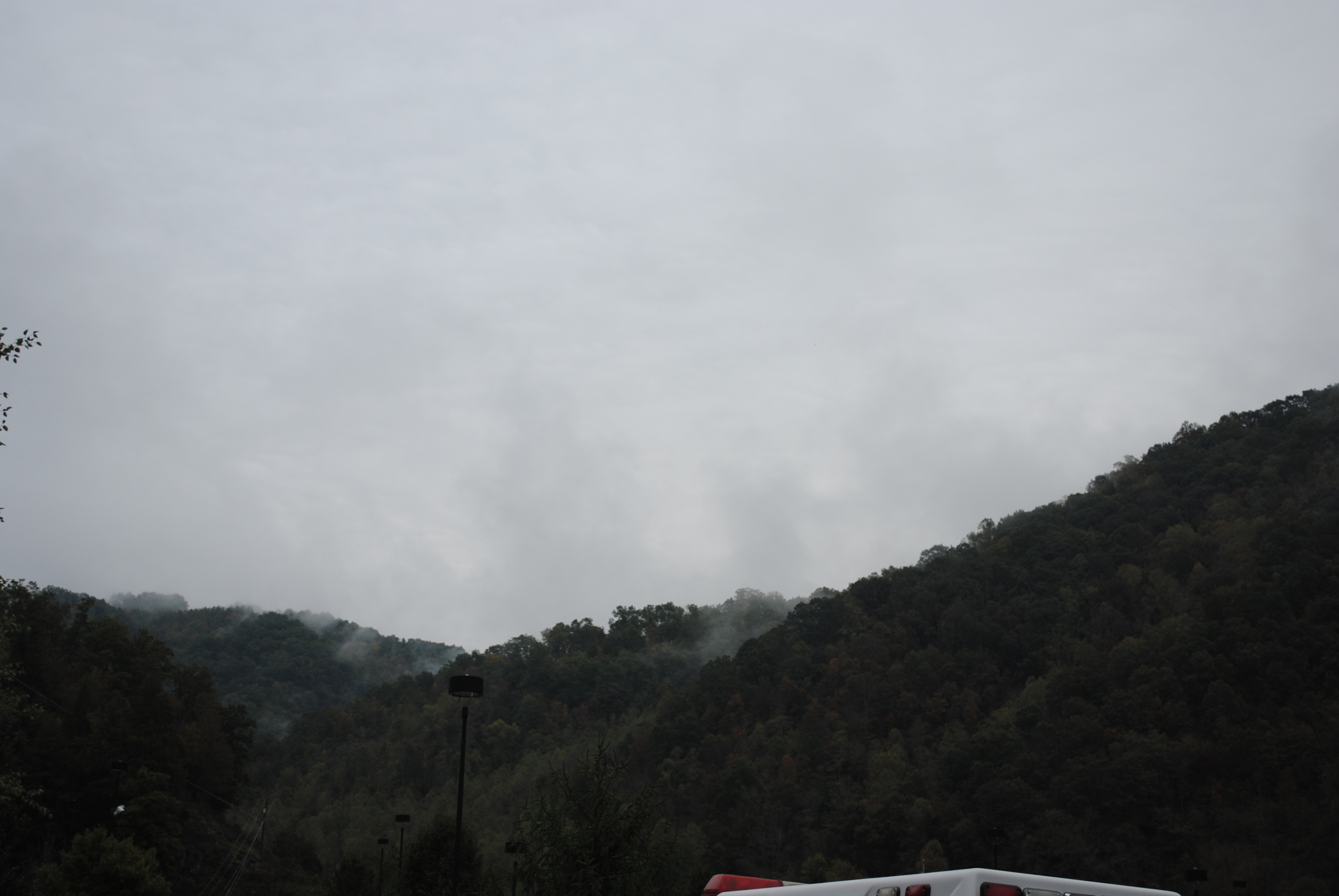
Grundy, Virginia
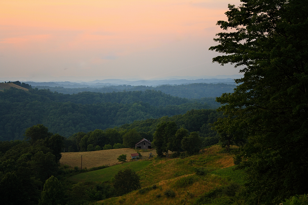
One of many cattle ranges on Compton Mountain. Grundy VA
Grundy, Virginia
Grundy, Virginia

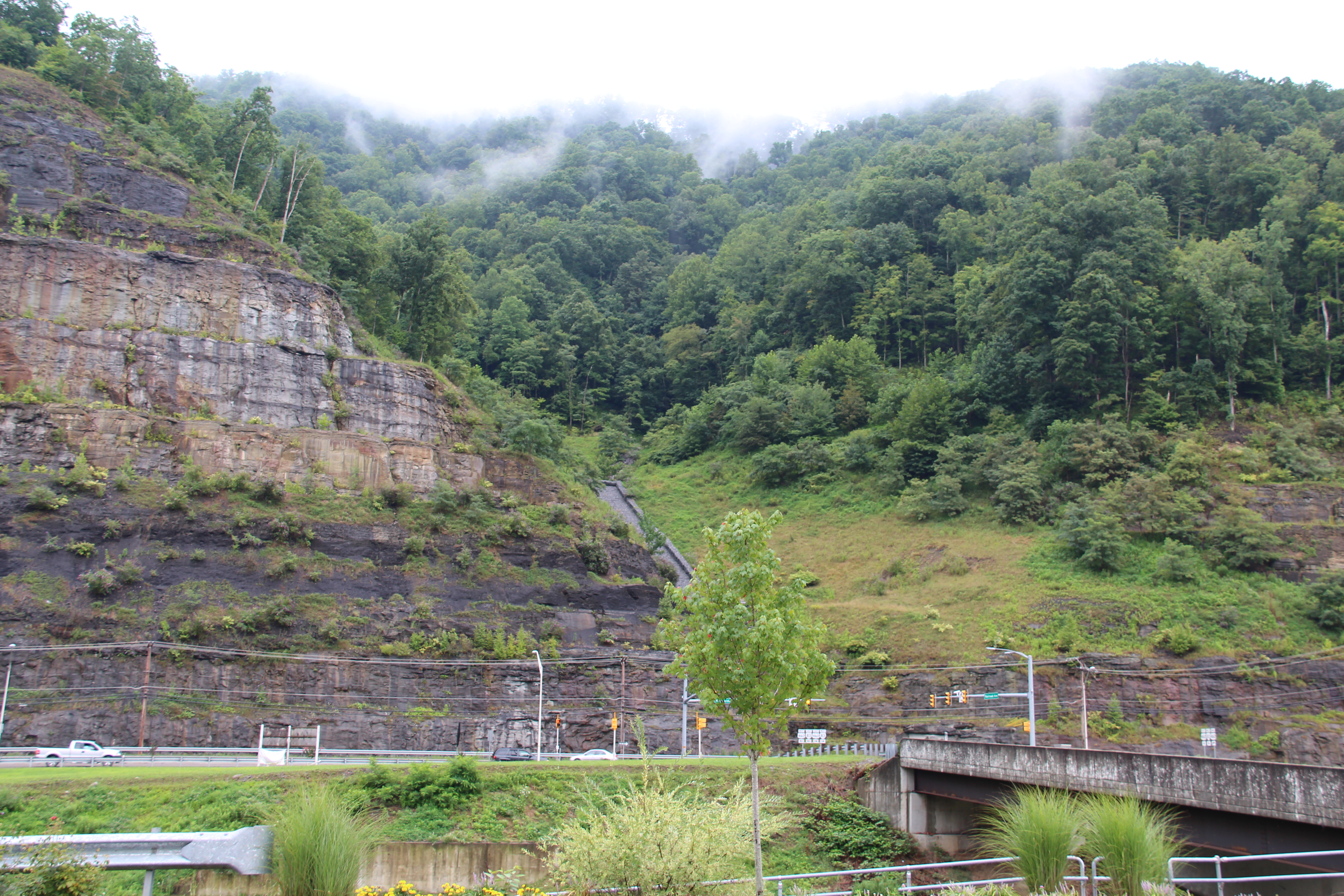
coke oven2
IMG_0214.JPG
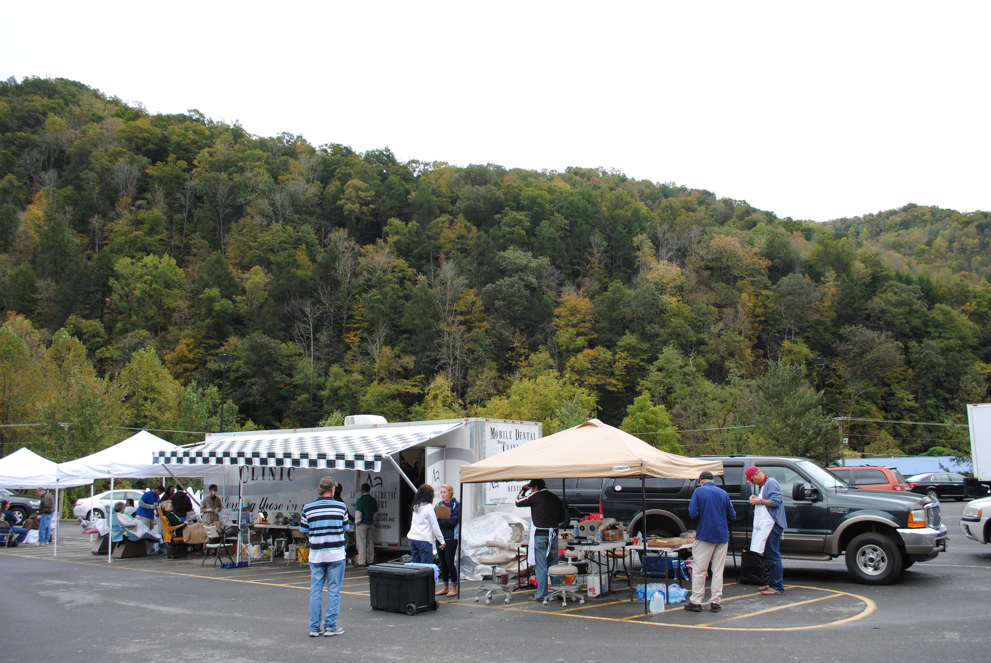
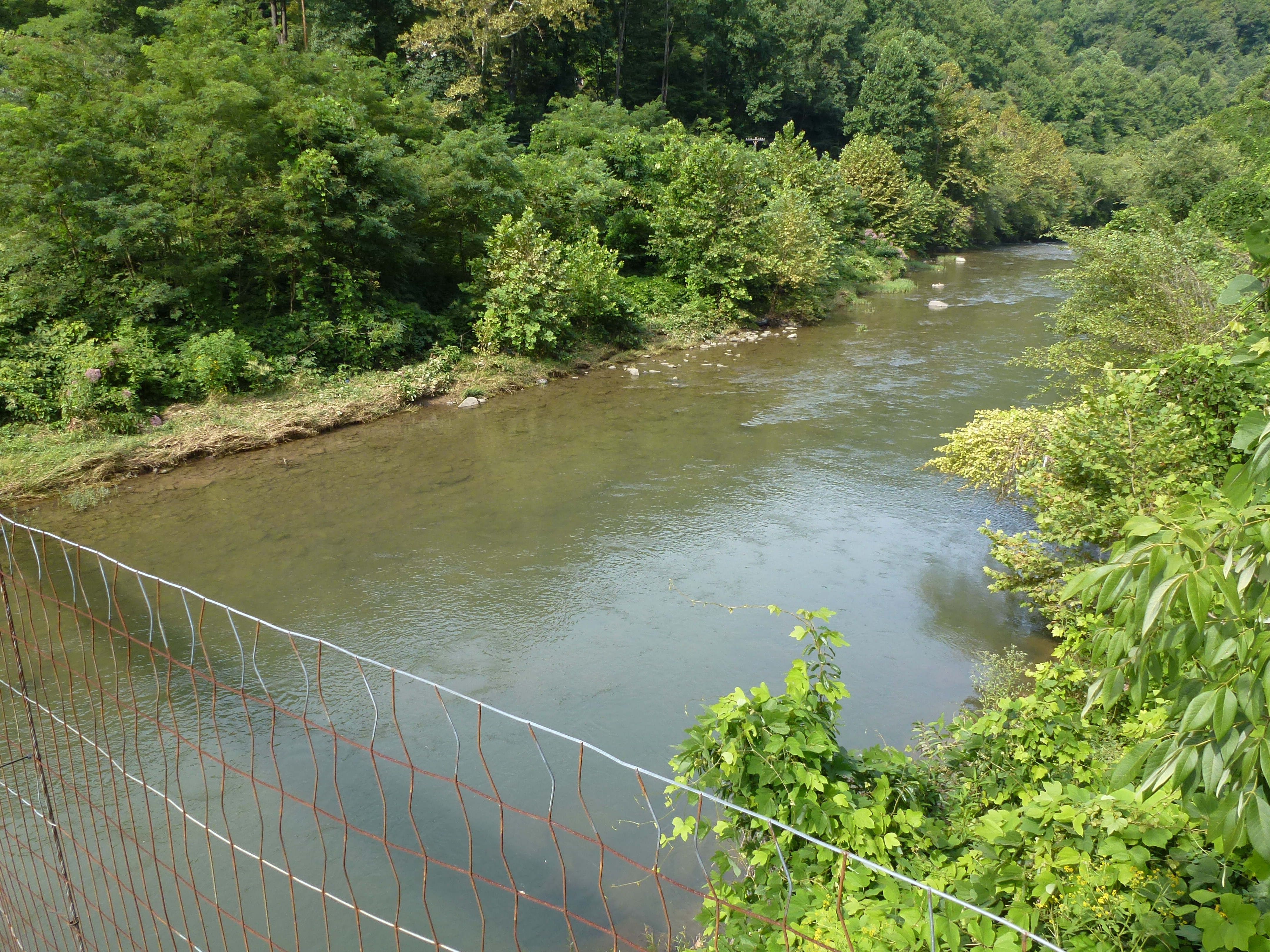
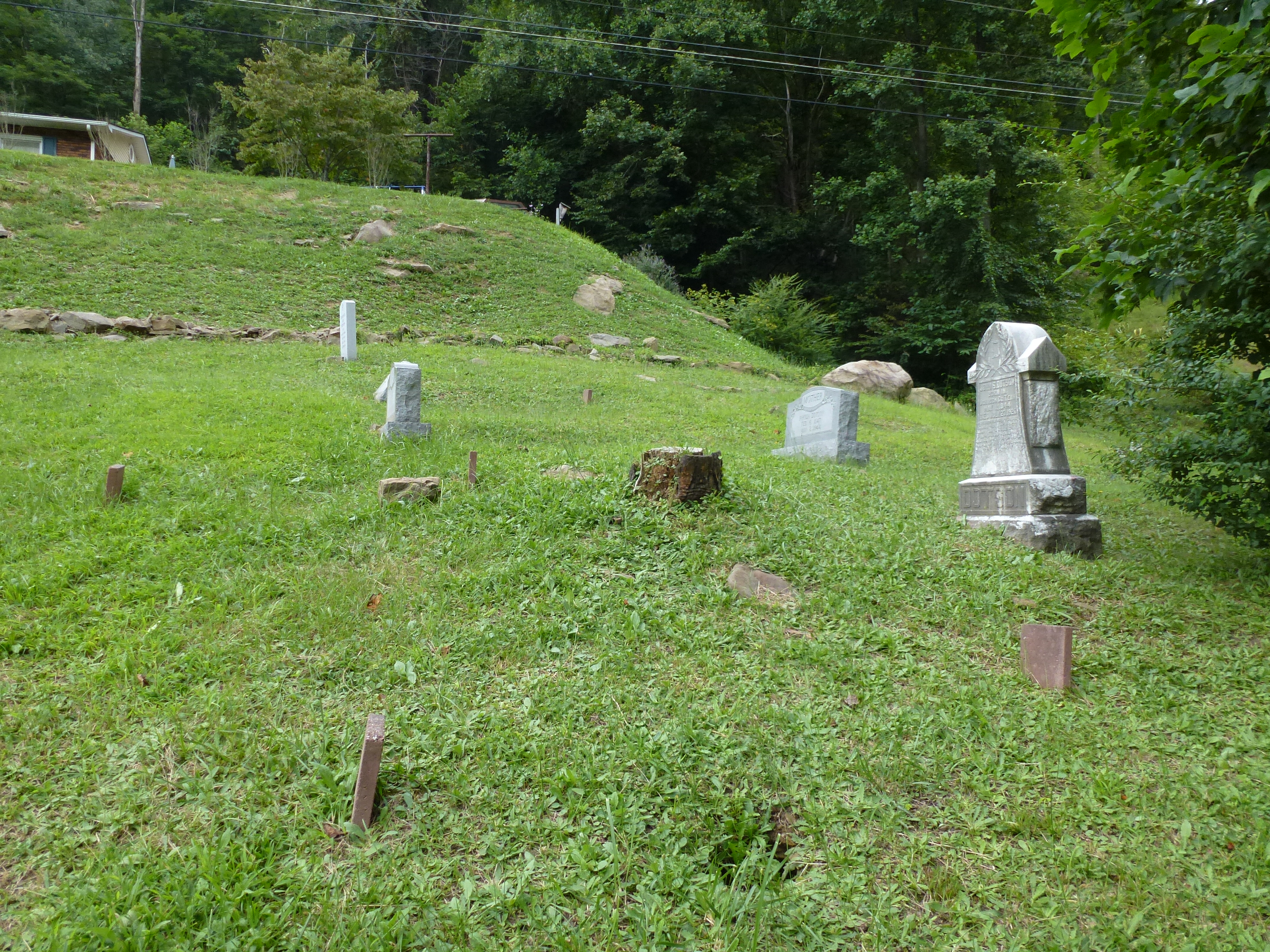
Grundy, Virginia
Grundy, Virginia
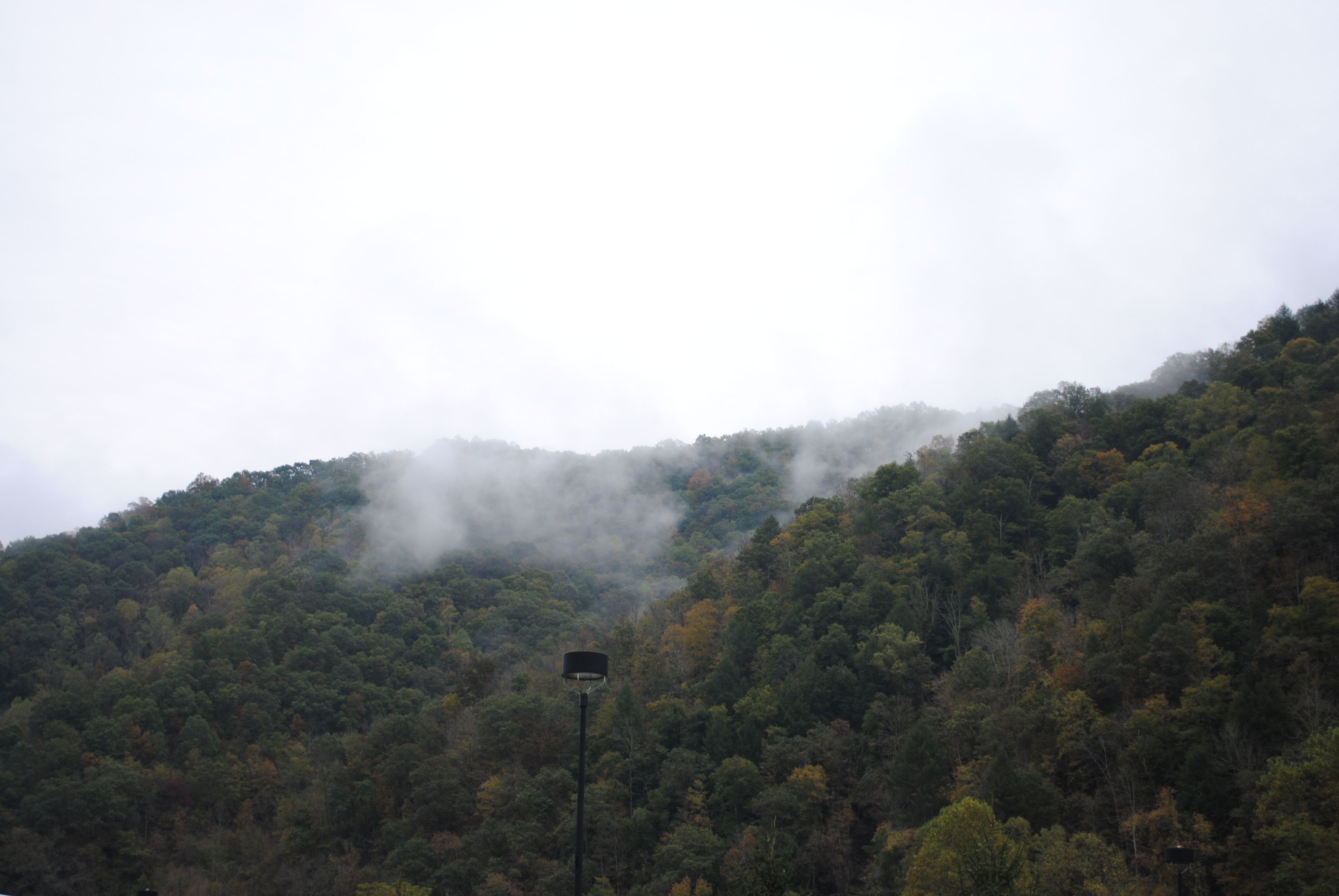
Grundy, Virginia
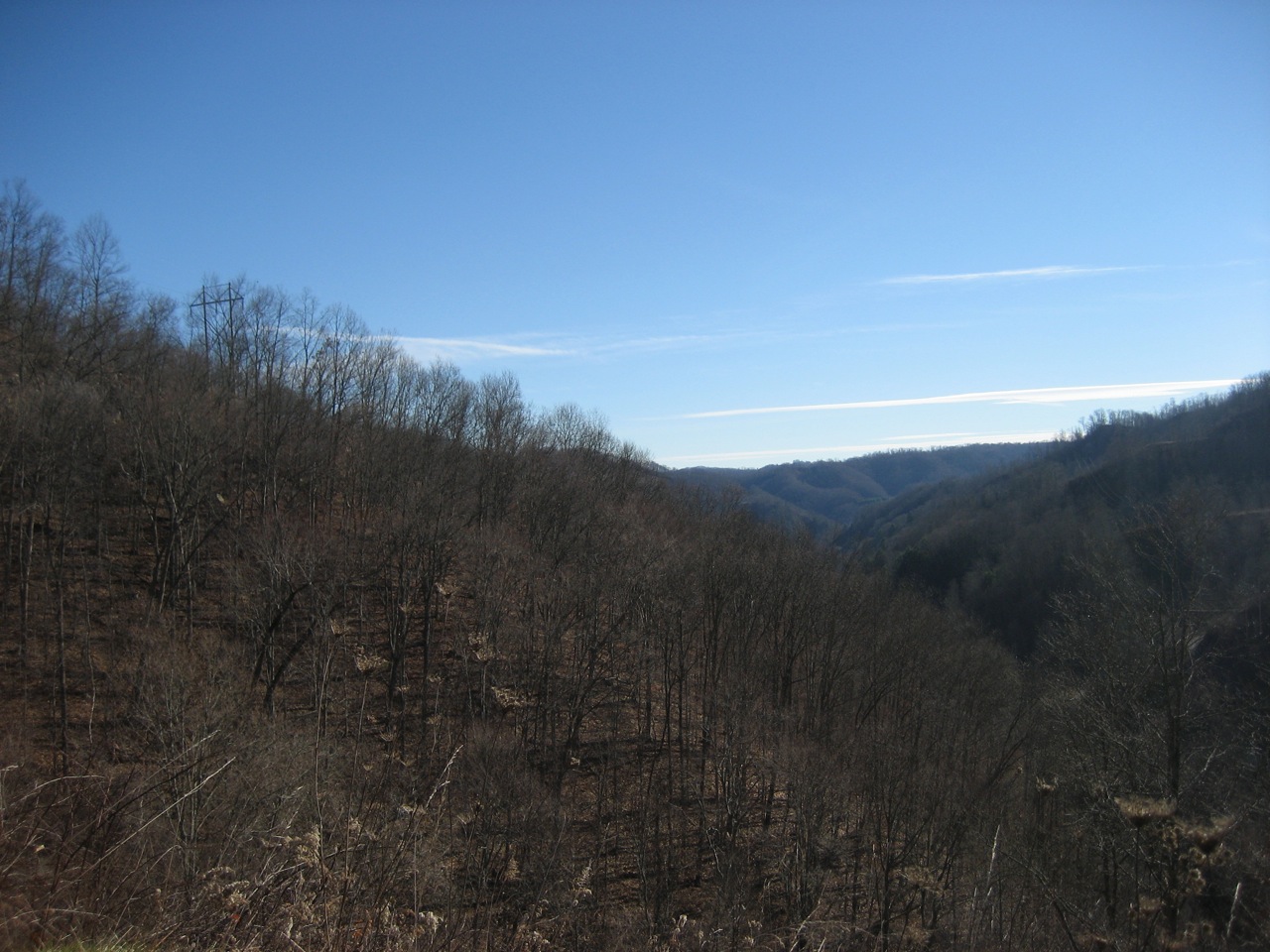
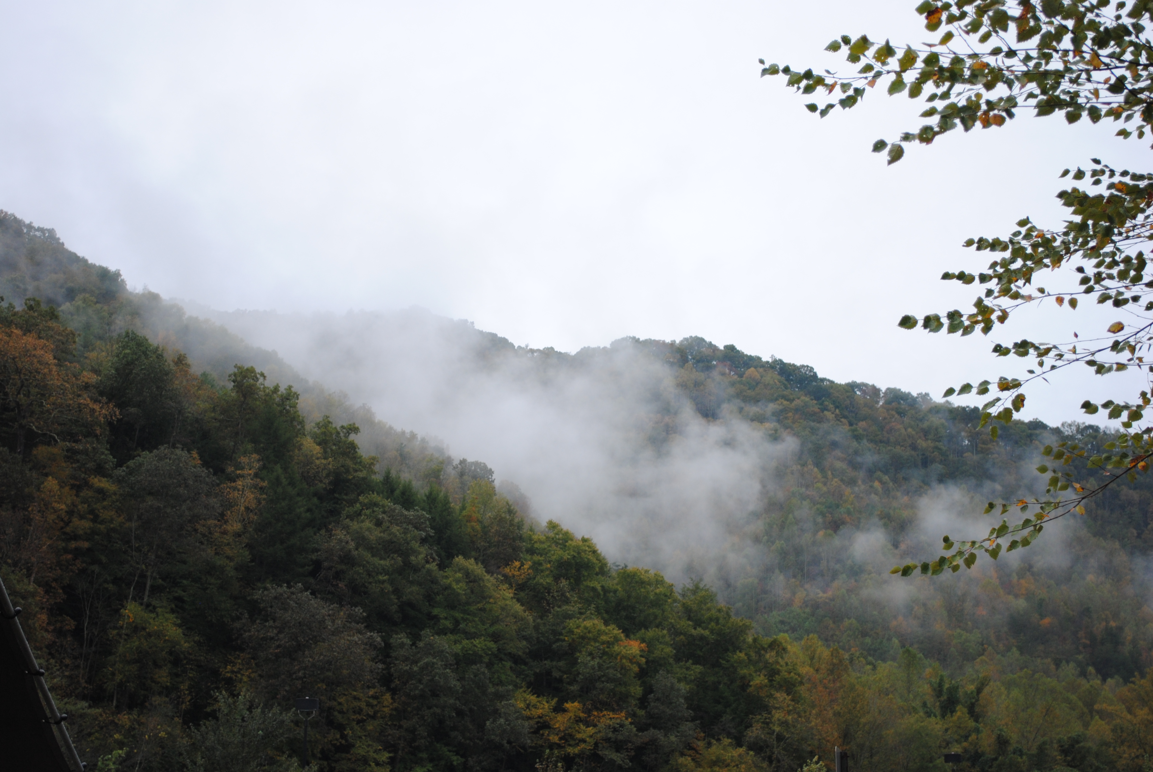
vandyke hollow 2
IMG_0211.JPG
IMG_0213.JPG
P1010004.JPG
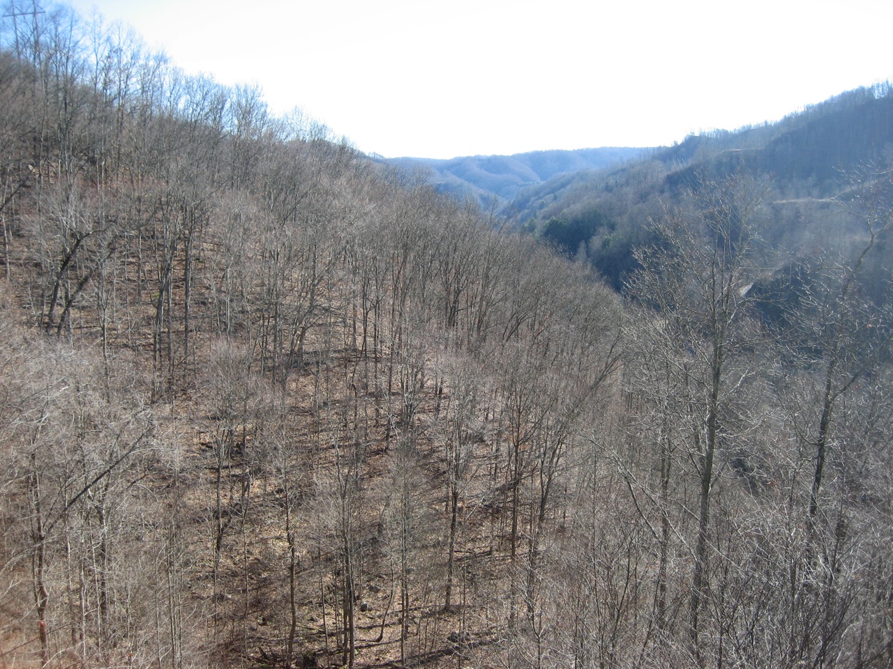
vandyke hollow
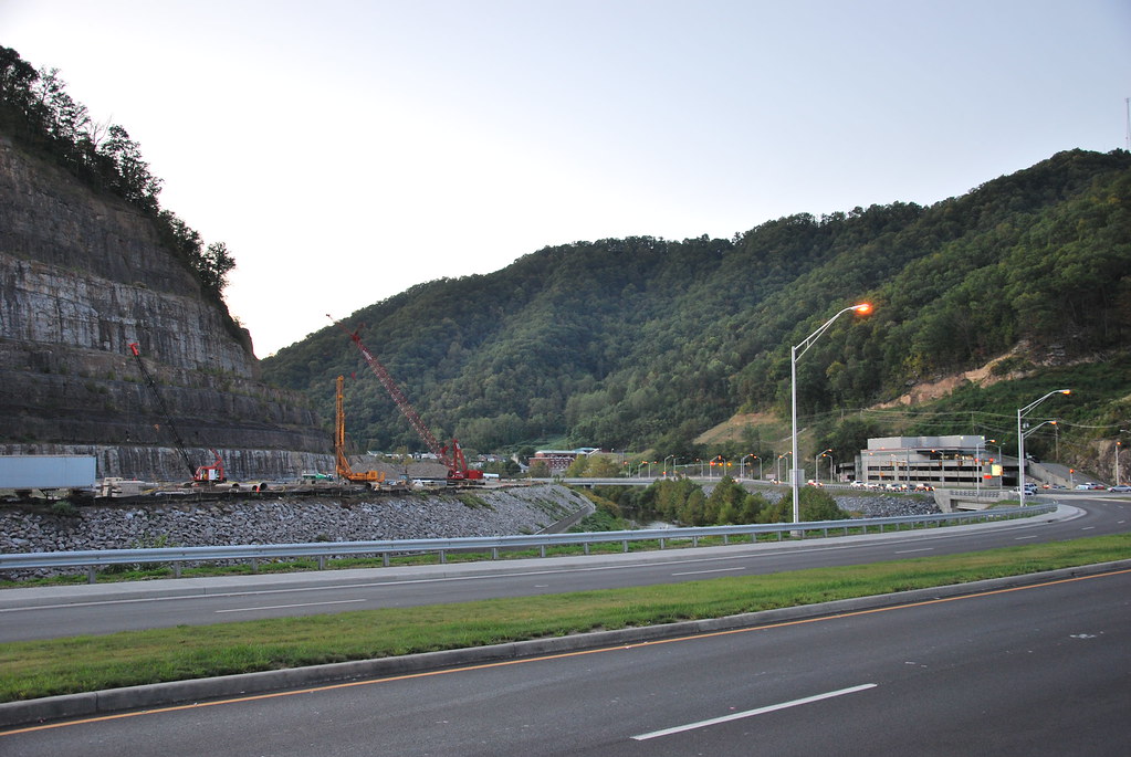
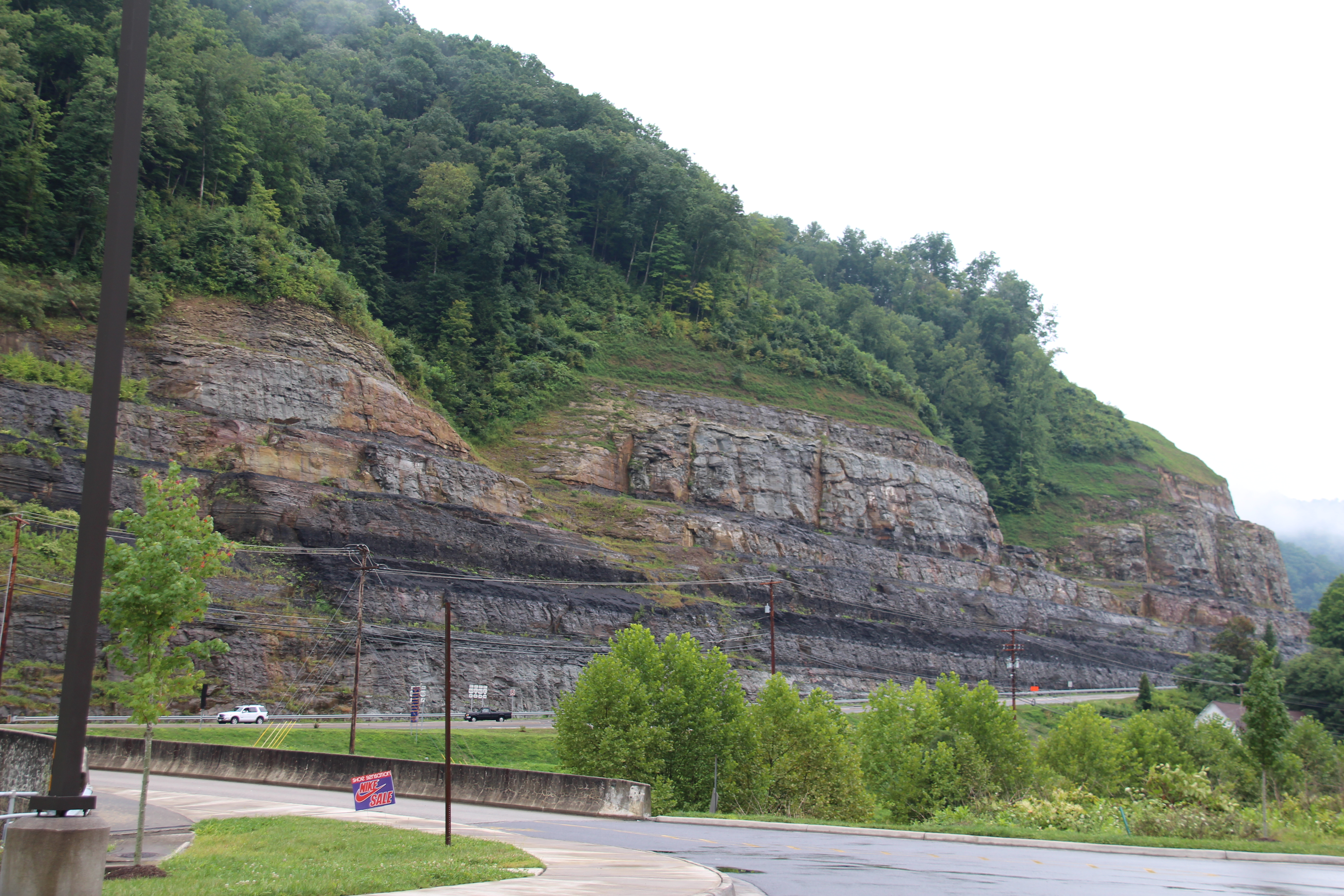
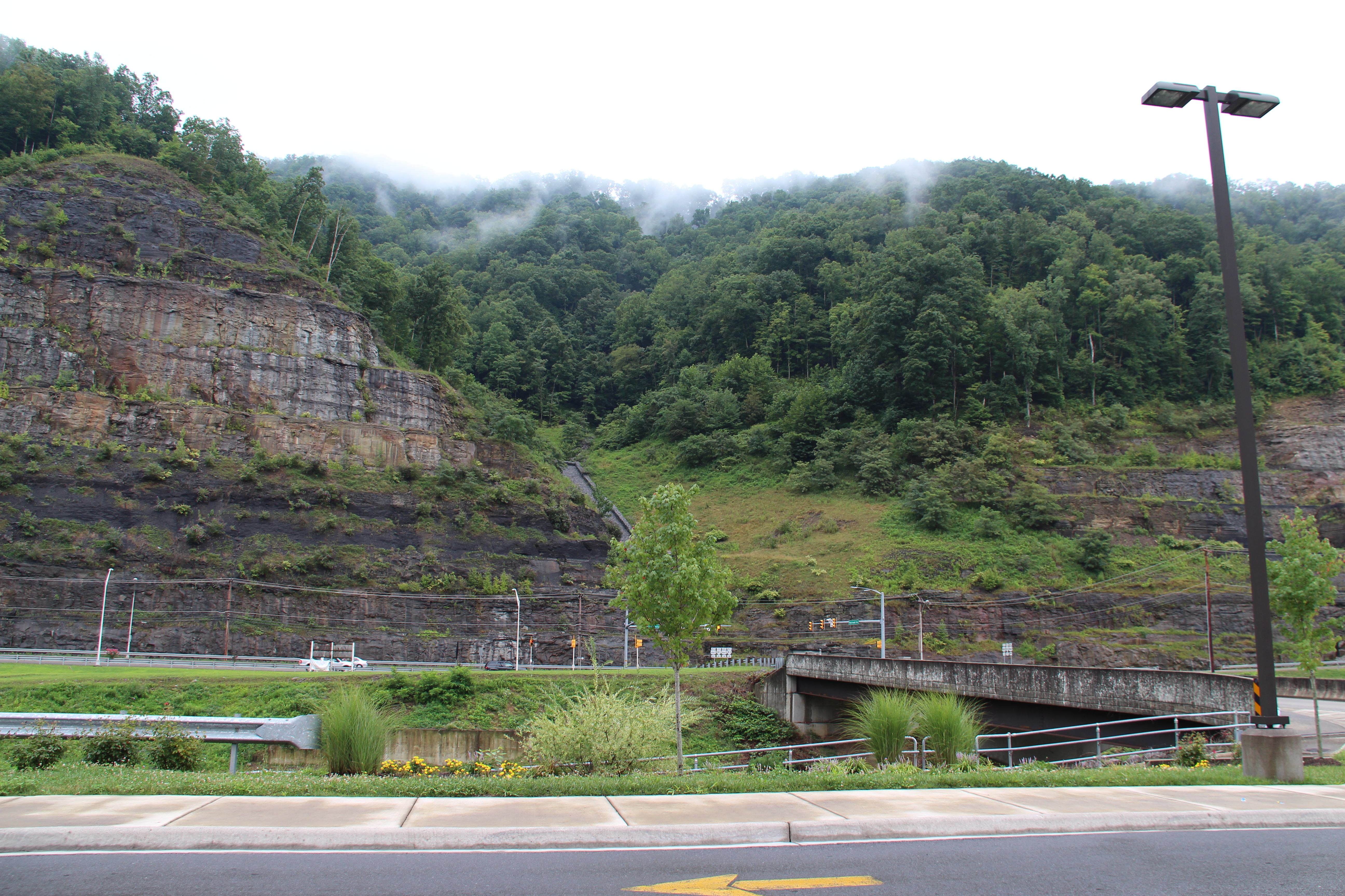
Grundy Cut
IMG_0212.JPG
P1010061.JPG
Topographic Map of Buchanan County, VA, USA
Find elevation by address:

Places in Buchanan County, VA, USA:
Places near Buchanan County, VA, USA:
Dragon Road
VA-, Oakwood, VA, USA
Oakwood
8936 Dismal River Rd
Booth Branch Road
1742 Booth Branch Rd
1748 Booth Branch Rd
1834 Booth Branch Rd
North Grundy
South Grundy
1535 Slate Creek Rd
1589 Slate Creek Rd
Twin Valley High School
Pilgrim's Knob
Garden
Vansant
5988 Deskins Rd
Grundy
Rowe
Grundy Funeral Home
Recent Searches:
- Elevation of Corso Fratelli Cairoli, 35, Macerata MC, Italy
- Elevation of Tallevast Rd, Sarasota, FL, USA
- Elevation of 4th St E, Sonoma, CA, USA
- Elevation of Black Hollow Rd, Pennsdale, PA, USA
- Elevation of Oakland Ave, Williamsport, PA, USA
- Elevation of Pedrógão Grande, Portugal
- Elevation of Klee Dr, Martinsburg, WV, USA
- Elevation of Via Roma, Pieranica CR, Italy
- Elevation of Tavkvetili Mountain, Georgia
- Elevation of Hartfords Bluff Cir, Mt Pleasant, SC, USA