Elevation of North Forks Road, N Forks Rd, Kootenay Boundary D, BC V0H, Canada
Location: Canada > British Columbia > Kootenay Boundary > Grand Forks >
Longitude: -118.44986
Latitude: 49.3046467
Elevation: 1114m / 3655feet
Barometric Pressure: 89KPa
Elevation Map:
Satellite Map:
Related Photos:
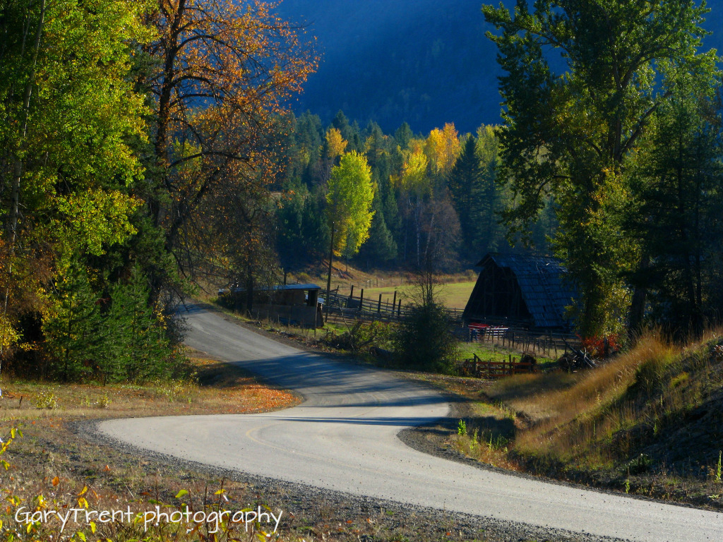
"Country Roads" Granby Wilderness north of Grand Forks B.C

Night Gallery
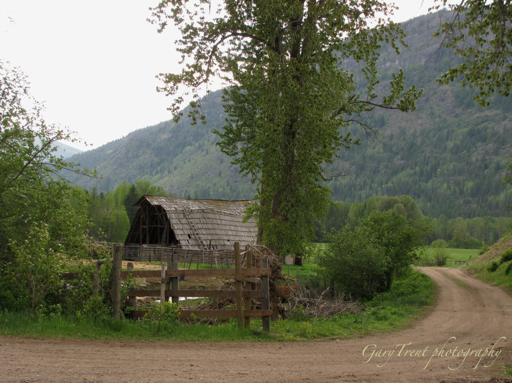
Country Road

Cloud Kingdom
Topographic Map of North Forks Road, N Forks Rd, Kootenay Boundary D, BC V0H, Canada
Find elevation by address:

Places near North Forks Road, N Forks Rd, Kootenay Boundary D, BC V0H, Canada:
Kootenay Boundary D
Kettle River
Kootenay Boundary
6055 Christian Valley Rd
6055 Christian Valley Rd
5855 Christian Valley Rd
5855 Christian Valley Rd
3260 Christian Valley Rd
Kootenay Boundary E
Granby Drive
Edgewood
Jordan Road
Ferret Road
Inonoaklin Valley Road
Okanagan Valley, Bc
Big White Ski Resort
4789 Snow Pines Way
Beaverdell
Big White Mountain
60 Smoker Rd
Recent Searches:
- Elevation of Congressional Dr, Stevensville, MD, USA
- Elevation of Bellview Rd, McLean, VA, USA
- Elevation of Stage Island Rd, Chatham, MA, USA
- Elevation of Shibuya Scramble Crossing, 21 Udagawacho, Shibuya City, Tokyo -, Japan
- Elevation of Jadagoniai, Kaunas District Municipality, Lithuania
- Elevation of Pagonija rock, Kranto 7-oji g. 8"N, Kaunas, Lithuania
- Elevation of Co Rd 87, Jamestown, CO, USA
- Elevation of Tenjo, Cundinamarca, Colombia
- Elevation of Côte-des-Neiges, Montreal, QC H4A 3J6, Canada
- Elevation of Bobcat Dr, Helena, MT, USA