Elevation of Beaverdell, BC V0H, Canada
Location: Canada > British Columbia > Kootenay Boundary > Kootenay Boundary E >
Longitude: -119.08829
Latitude: 49.434206
Elevation: 788m / 2585feet
Barometric Pressure: 92KPa
Elevation Map:
Satellite Map:
Related Photos:
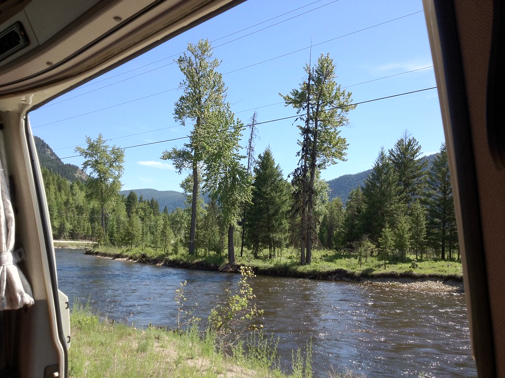
Get on the Doc Bus
1052 Kettle River
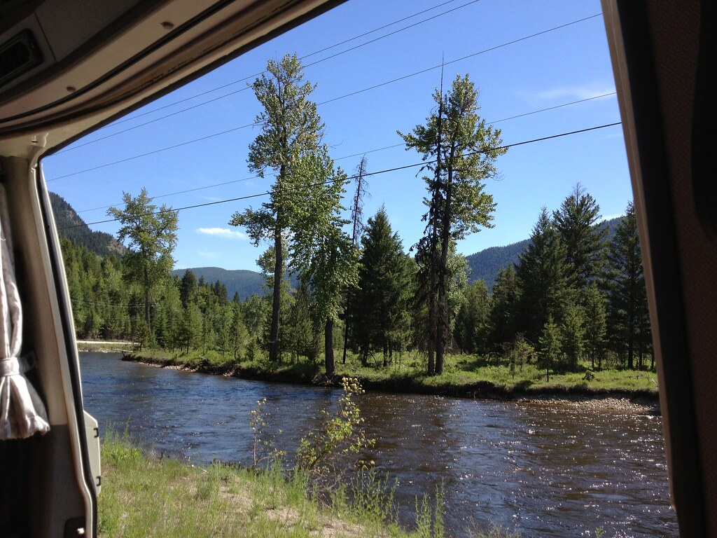
Get on the Doc Bus
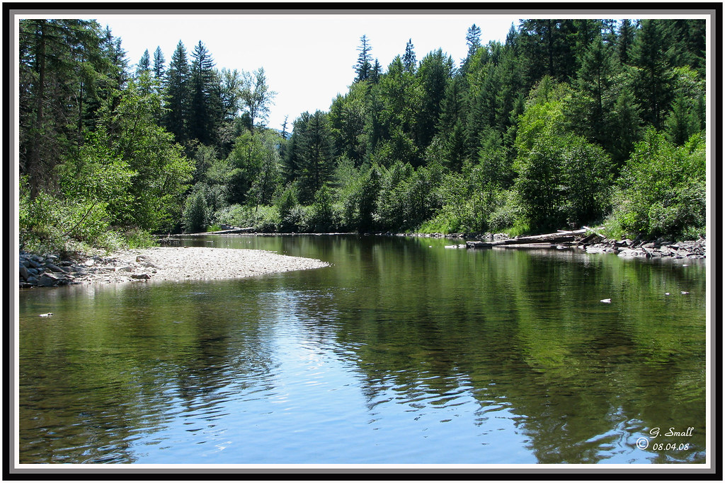
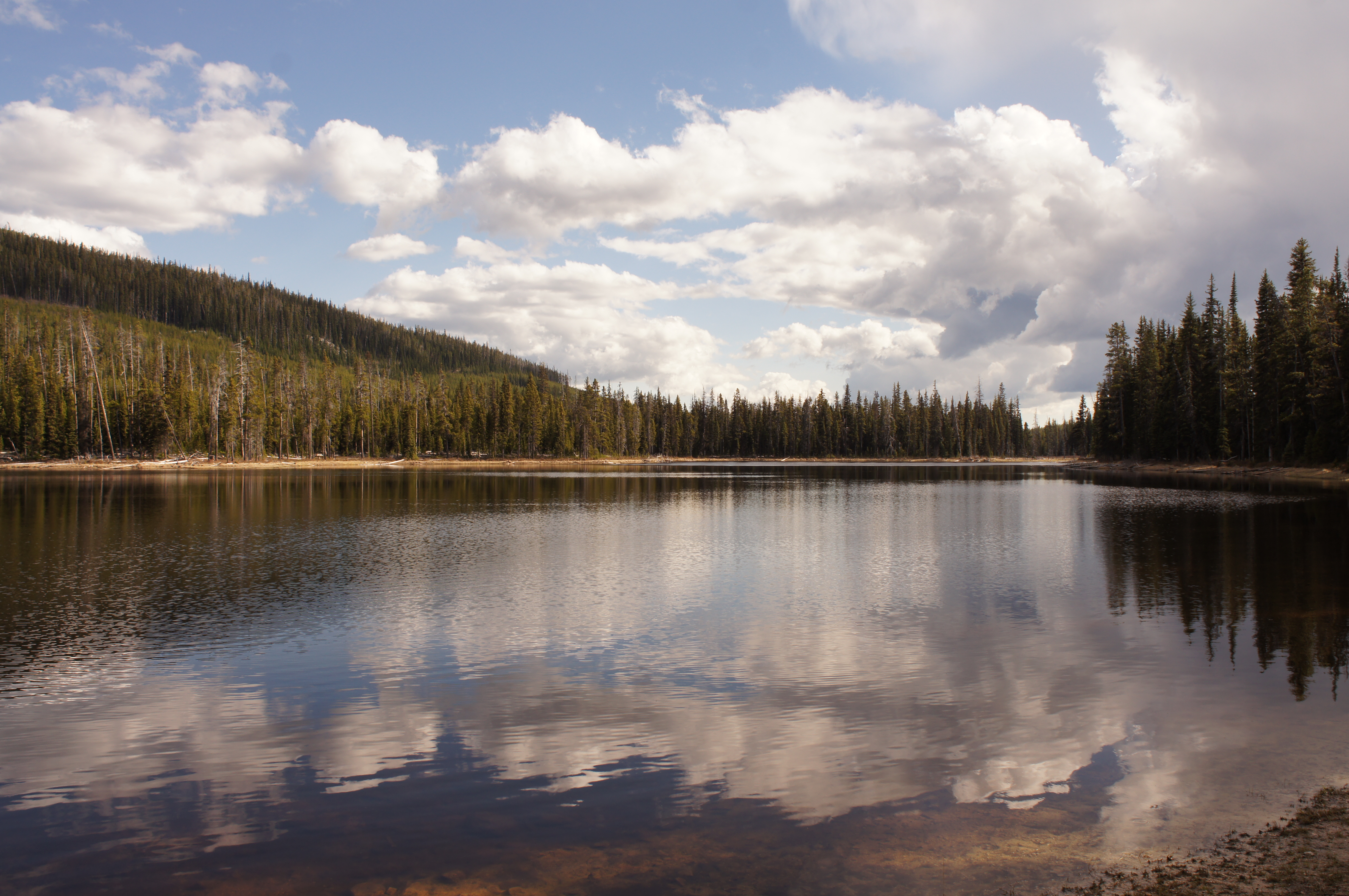
Solco Lake, BC
Solco Lake, BC
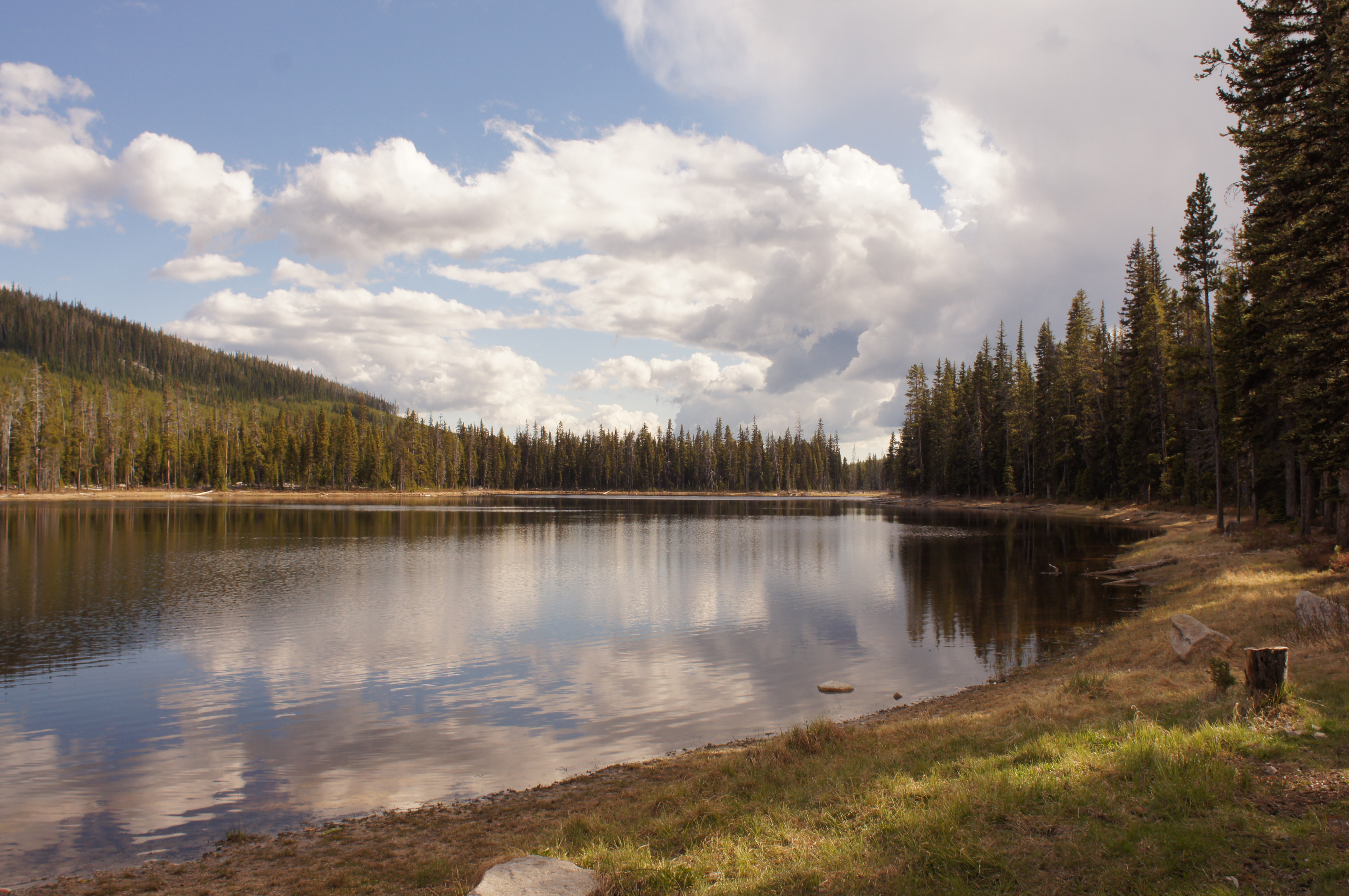
Trail to Osoyoos, BC
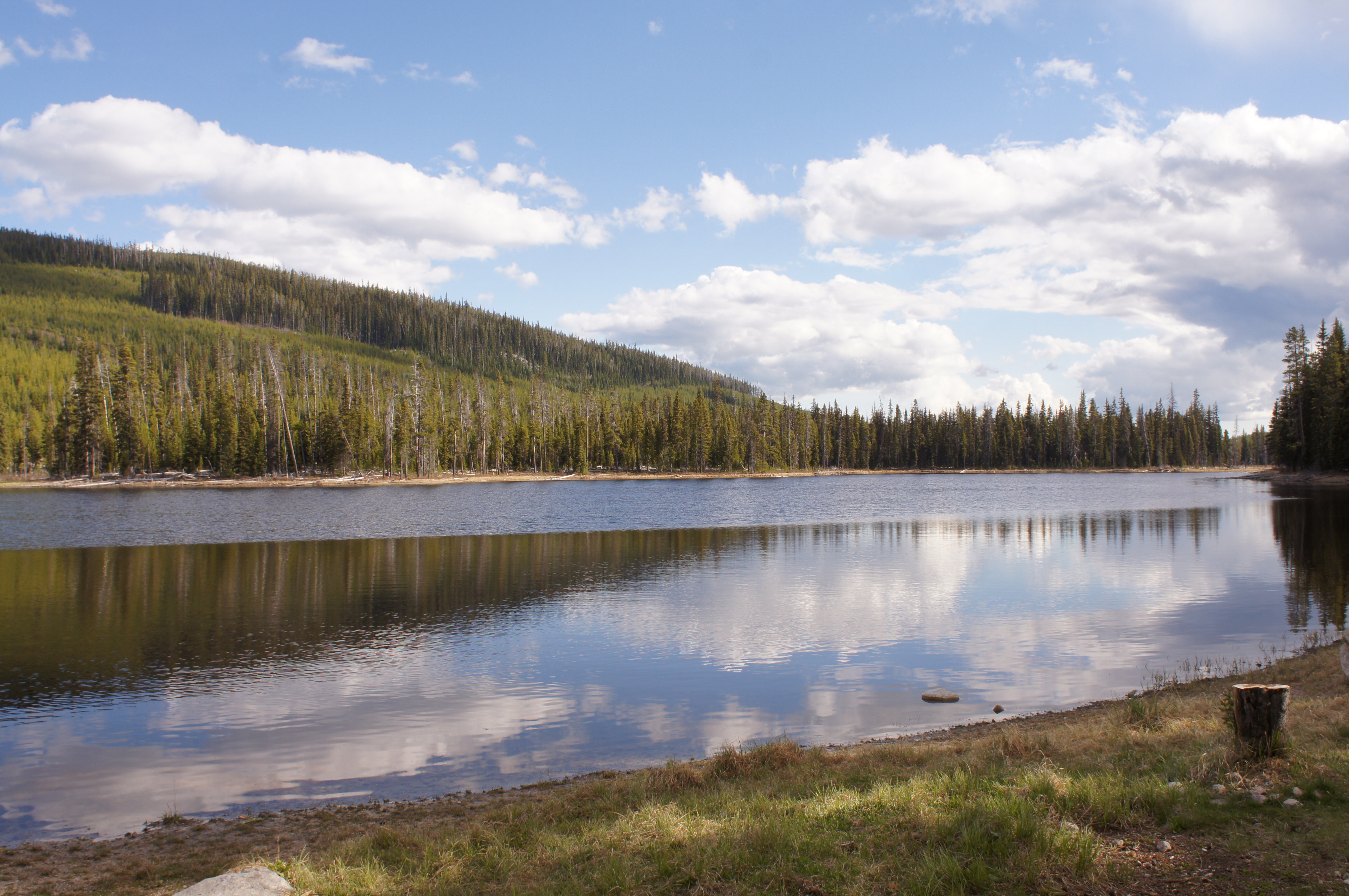
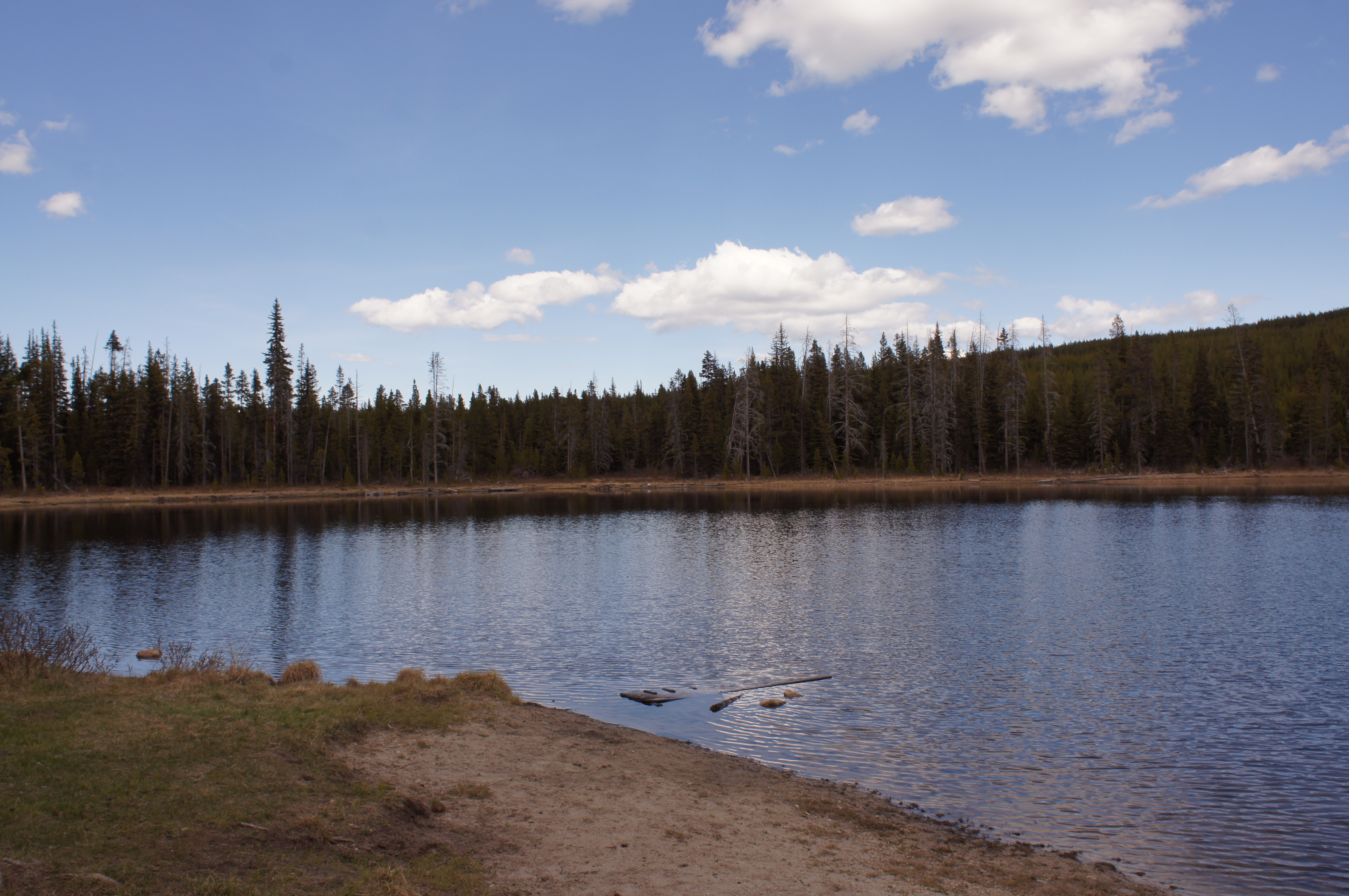
Solco Lake, BC
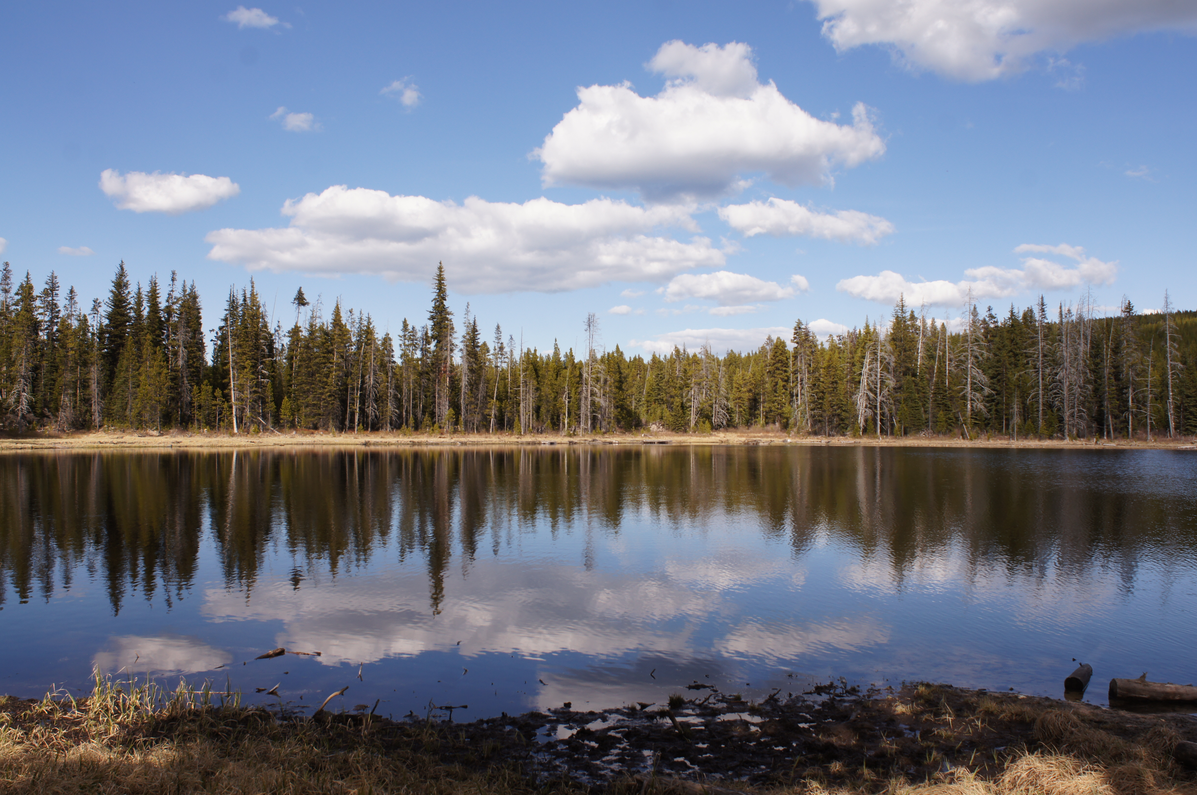
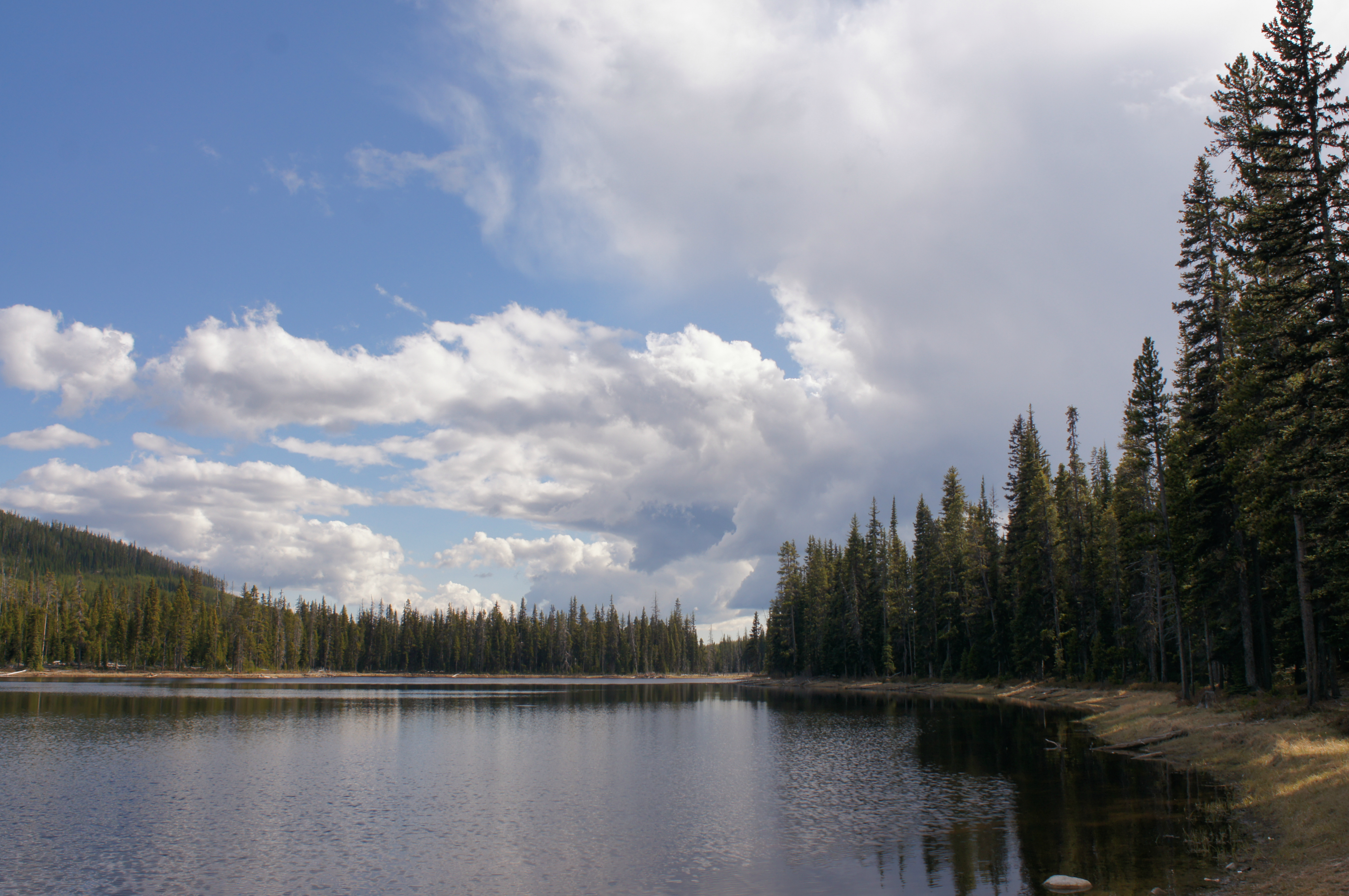
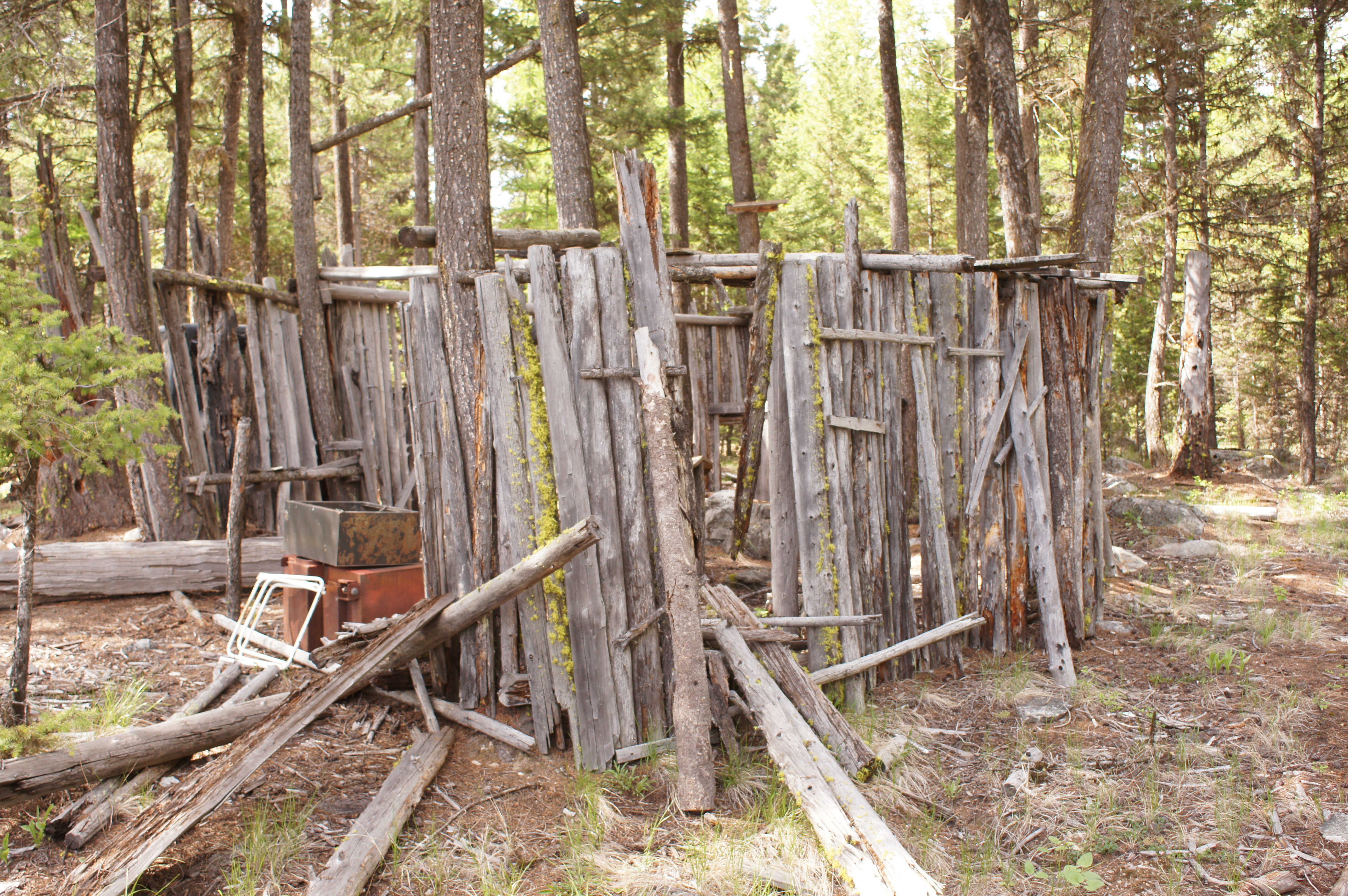
Solco Lake, BC

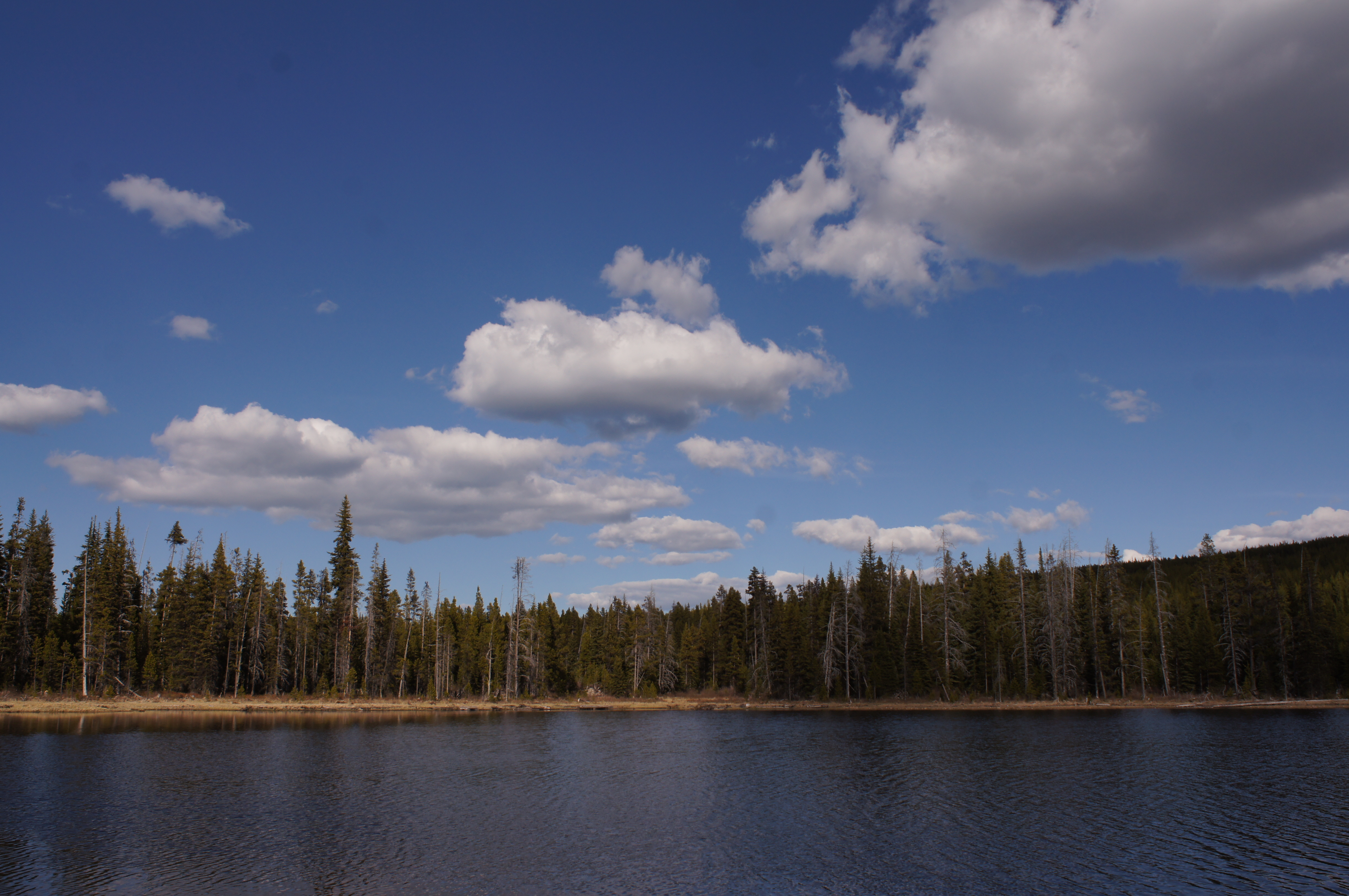
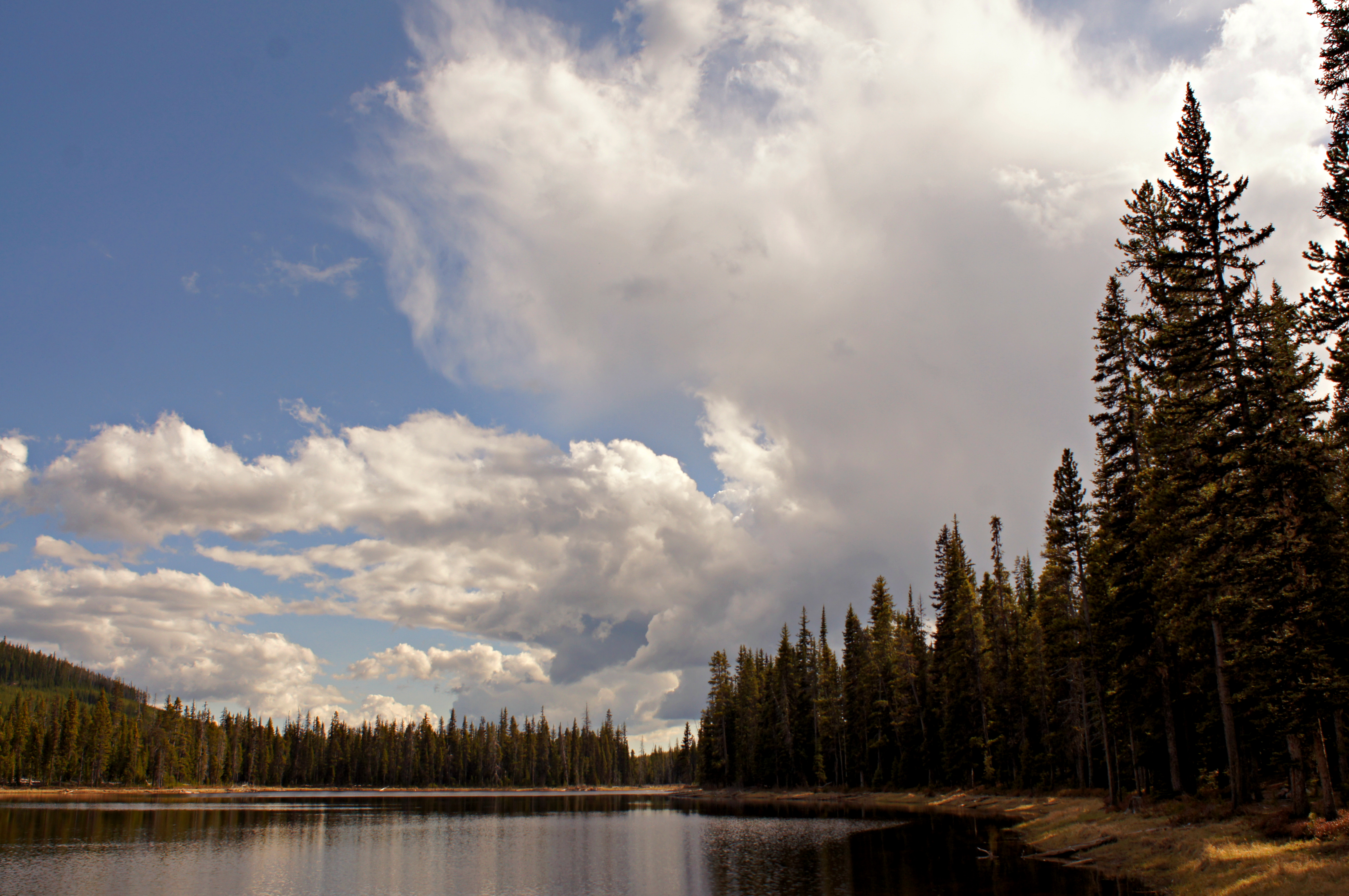
Solco Lake, BC
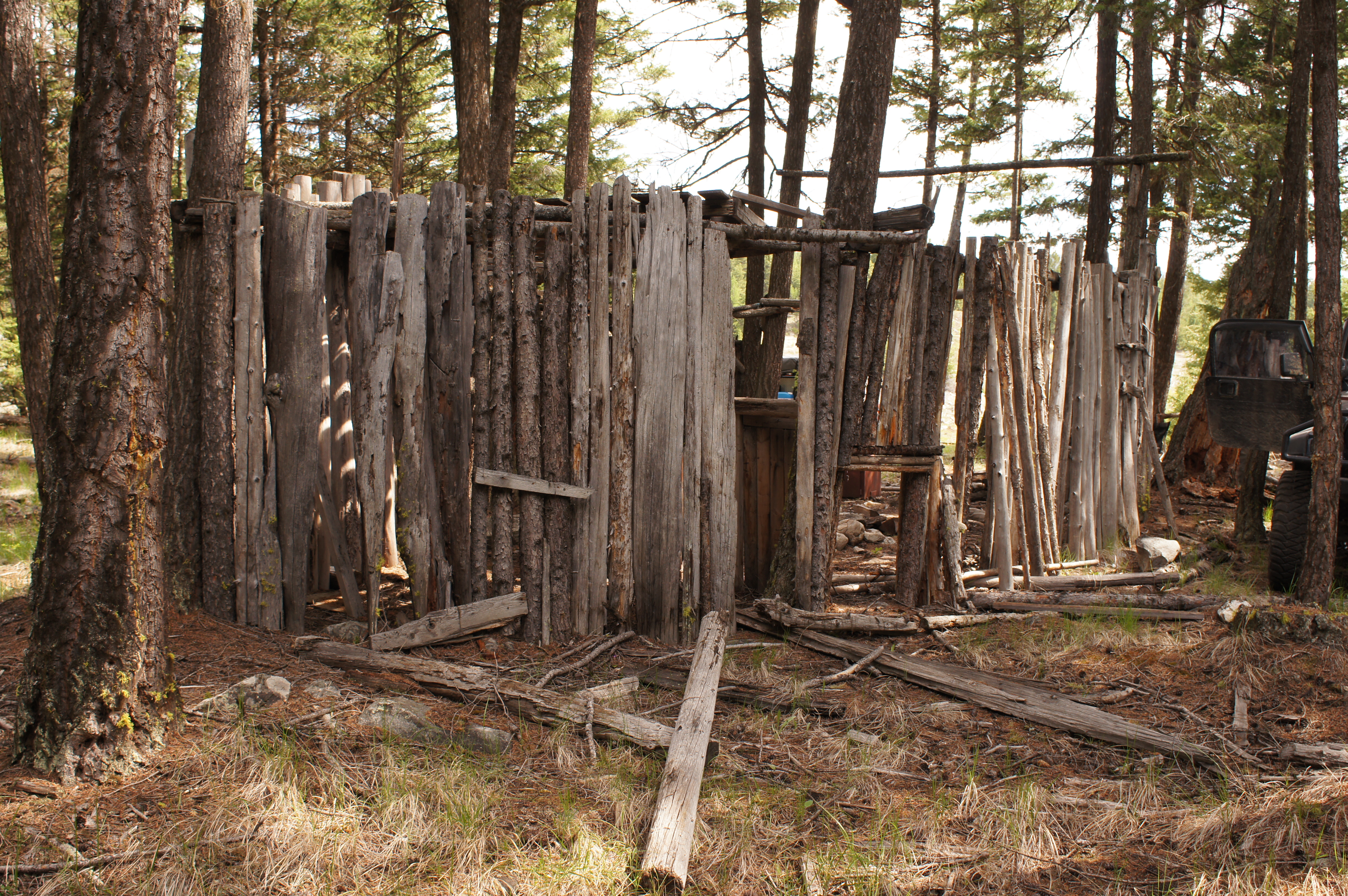
Solco Lake, BC
Solco Lake, BC
Solco Lake, BC
Trail to Osoyoos, BC
Trail to Osoyoos, BC
Okanagan Camping
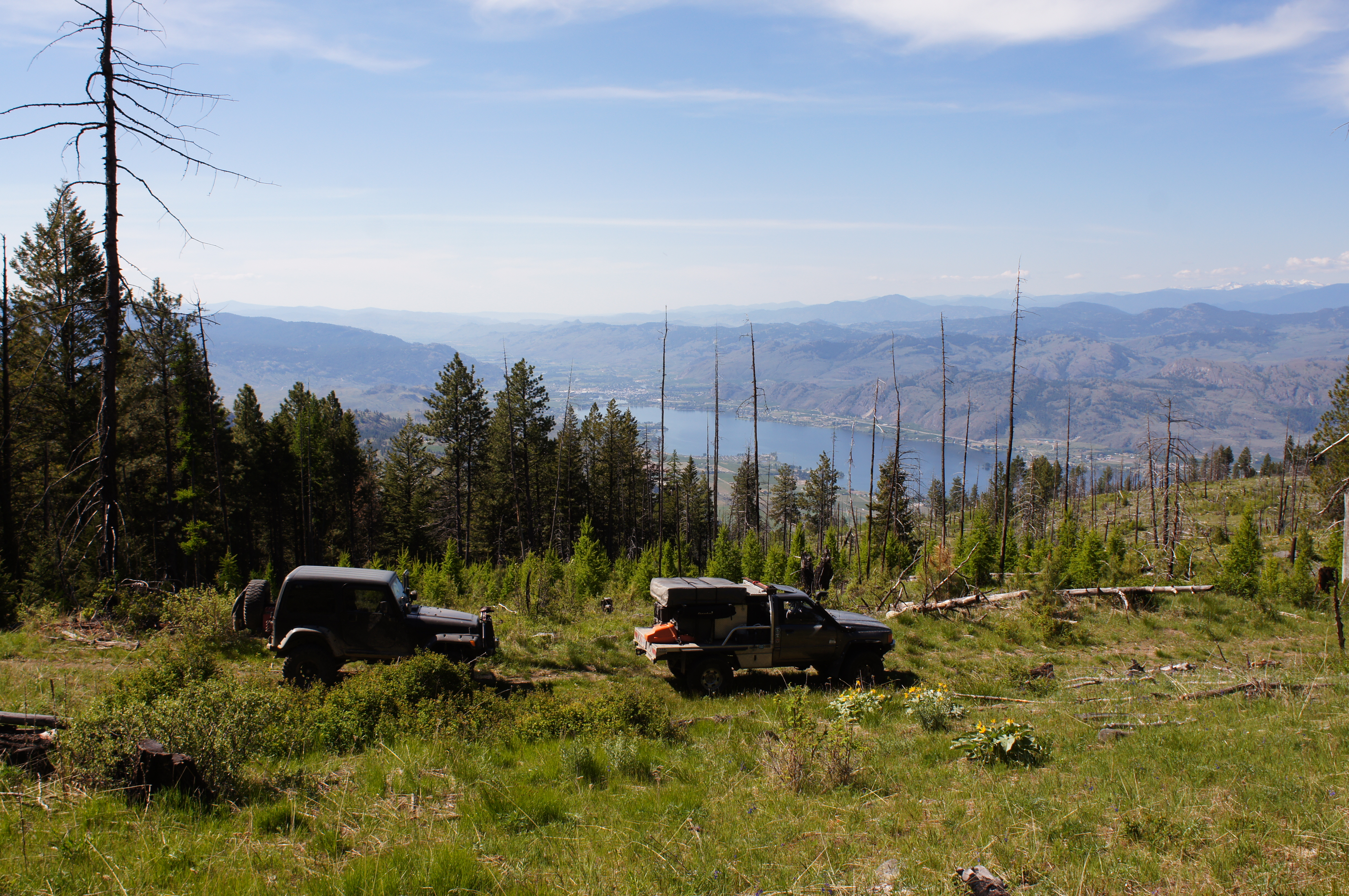
Solco Lake, BC

Solco Lake, BC
Okanagan Camping
Okanagan Camping
Trail to Osoyoos, BC
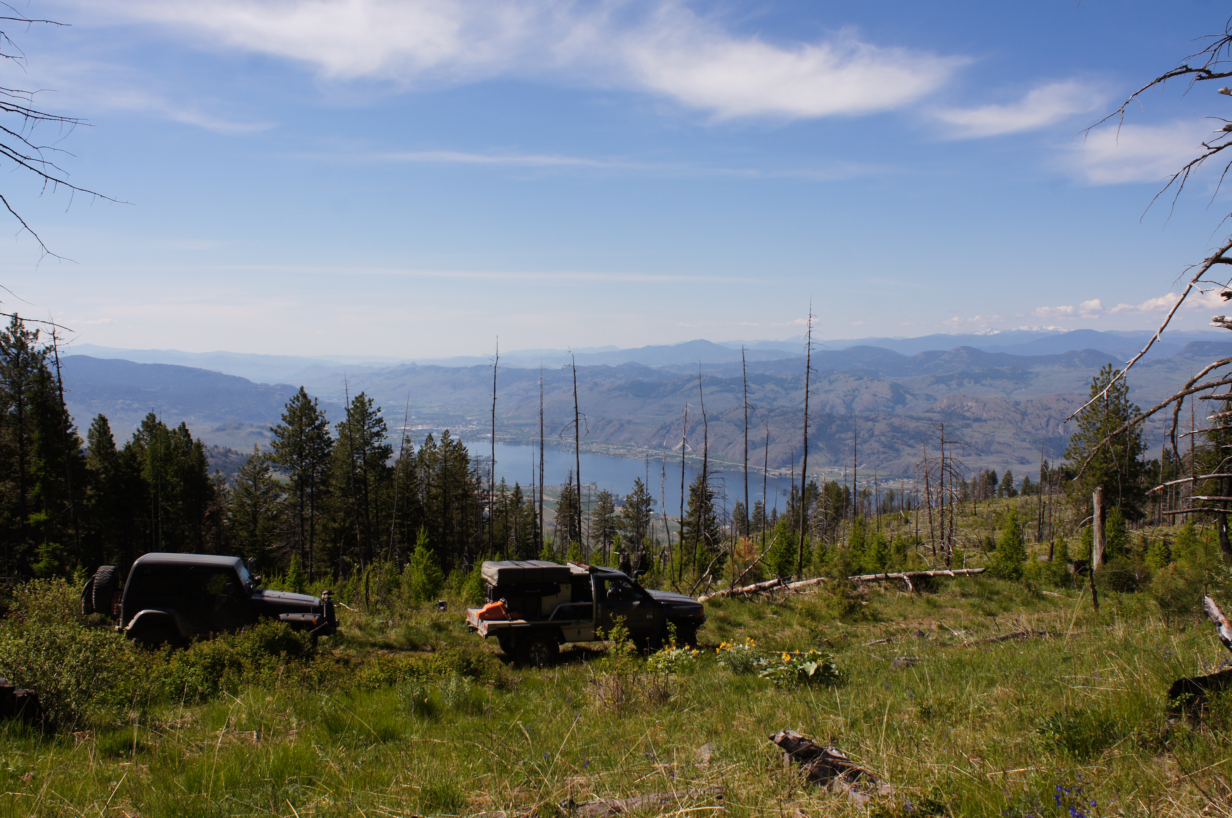
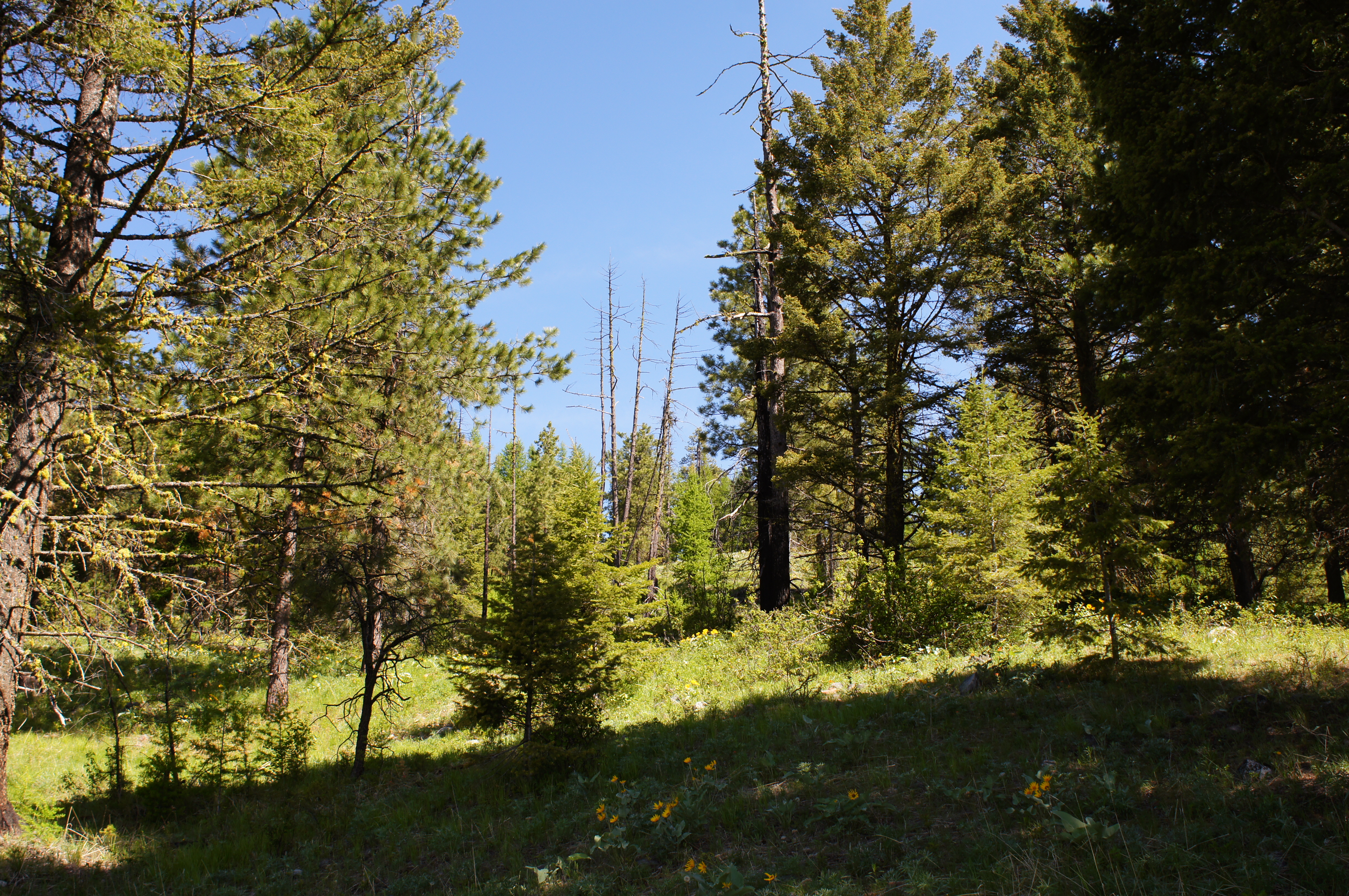
Wilkinson Creek valley
Topographic Map of Beaverdell, BC V0H, Canada
Find elevation by address:

Places in Beaverdell, BC V0H, Canada:
Places near Beaverdell, BC V0H, Canada:
60 Smoker Rd
5 Dale Ave, Beaverdell, BC V0H 1A0, Canada
Carmi
Kootenay Boundary E
6055 Christian Valley Rd
6055 Christian Valley Rd
5855 Christian Valley Rd
5855 Christian Valley Rd
3260 Christian Valley Rd
Idabel Lake
4789 Snow Pines Way
Idabel Lake Resort
Big White Ski Resort
Big White Road
Big White Mountain
Okanagan-similkameen D
3017 Carmi Rd
Okanagan Valley, Bc
2203 Carmi Rd
2183 Carmi Rd
Recent Searches:
- Elevation of Corso Fratelli Cairoli, 35, Macerata MC, Italy
- Elevation of Tallevast Rd, Sarasota, FL, USA
- Elevation of 4th St E, Sonoma, CA, USA
- Elevation of Black Hollow Rd, Pennsdale, PA, USA
- Elevation of Oakland Ave, Williamsport, PA, USA
- Elevation of Pedrógão Grande, Portugal
- Elevation of Klee Dr, Martinsburg, WV, USA
- Elevation of Via Roma, Pieranica CR, Italy
- Elevation of Tavkvetili Mountain, Georgia
- Elevation of Hartfords Bluff Cir, Mt Pleasant, SC, USA