Elevation of Christian Valley Rd, Westbridge, BC V0H 2B0, Canada

Location: Canada > British Columbia > Kootenay Boundary > Kootenay Boundary E > Westbridge >

Longitude: -118.87993

Latitude: 49.320949

Elevation: 672m / 2205feet

Barometric Pressure: 94KPa

Elevation Map:

elevation map of Christian Valley Rd, Westbridge, BC V0H 2B0, Canada

Satellite Map:

Satellite map of Christian Valley Rd, Westbridge, BC V0H 2B0, Canada

Related Photos:

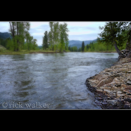
View from my lunchspot today...
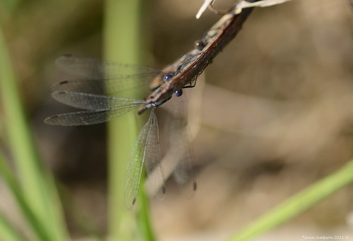
insects wings grass rock nature littledipperhideawaycampground westbridge okanaganboundary bc britishcolumbia canada taniasimpson photographer photography photograph photo image copyrightimage nikon spottedspreadwing lestescongener damselfly damselflies male female eyes hiding mating
We See You!
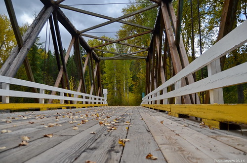
westbridge rhoneroad autumn leaves fallen fall nature trees pine birch landscape flora okanaganboundary bc britishcolumbia canada taniasimpson photographer photography photograph photo image copyrightimage nikon bridge structure crossing rivercrossing wood architecture
Crossing the Bridge
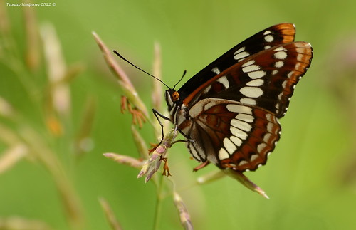
lorquinsadmiral butterfly limenitislorquini wings antenna eyes insect nature grass flora fauna littledipperhideawaycampground westbridge bc britishcolumbia canada taniasimpson photographer photography photograph photo image copyrightimage nikon nikond7000
Lorquin's Admiral (Limenitis lorquini)
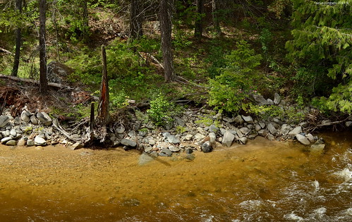
riversedge water river westkettleriver beaverdell rock trees pine wildroses flora vegetation shoreline stumps forest bc britishcolumbia canada taniasimpson photographer photography photograph photo image copyrightimage nikon nikond7000 transcanadatrail kvrtrail
At Rivers Edge
westbridge rhoneroad autumn leaves fallen fall nature trees pine birch landscape flora okanaganboundary bc britishcolumbia canada taniasimpson photographer photography photograph photo image copyrightimage nikon westkettleriver river rocks reflections shoreline shore sky mountain cloud overcast
West Kettle River
westkettleriver river water rock cliffs trees pines moss kvrtrail transcanadatrail okanaganboundary bc britishcolumbia canada taniasimpson photographer photography photograph photo image copyrightimage nikon nikond7000 pom
The River Gorge
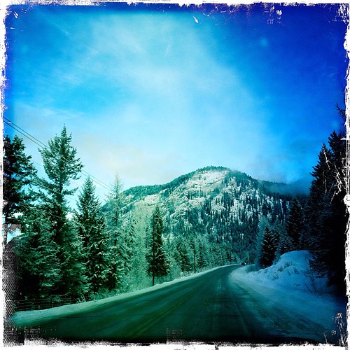
square squareformat iphoneography instagramapp uploaded:by=instagram
We saw some #blue #sky on our #drive from #nelson #bc to #kelowna #bc after #redbull #ultranatural
1052 Kettle River
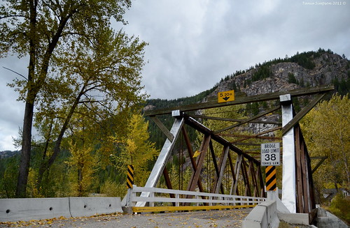
westbridge rhoneroad autumn leaves fallen fall nature trees pine birch landscape flora okanaganboundary bc britishcolumbia canada taniasimpson photographer photography photograph photo image copyrightimage nikon bridge structure crossing rivercrossing wood architecture
Bridge Over West Kettle River
britishcolumbia westbridge christianvalley
1210 East Kettle River
cycling day3 kvr bcinterior transcanadatrail kettlevalleyrailtrail
Bull Creek Canyon
cycling day3 kvr bcinterior transcanadatrail kettlevalleyrailtrail
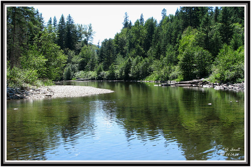
West Kettle River
The Kettle River