Elevation of Kootenay Boundary D, BC, Canada
Location: Canada > British Columbia > Kootenay Boundary >
Longitude: -118.42949
Latitude: 49.4099867
Elevation: 670m / 2198feet
Barometric Pressure: 94KPa
Elevation Map:
Satellite Map:
Related Photos:
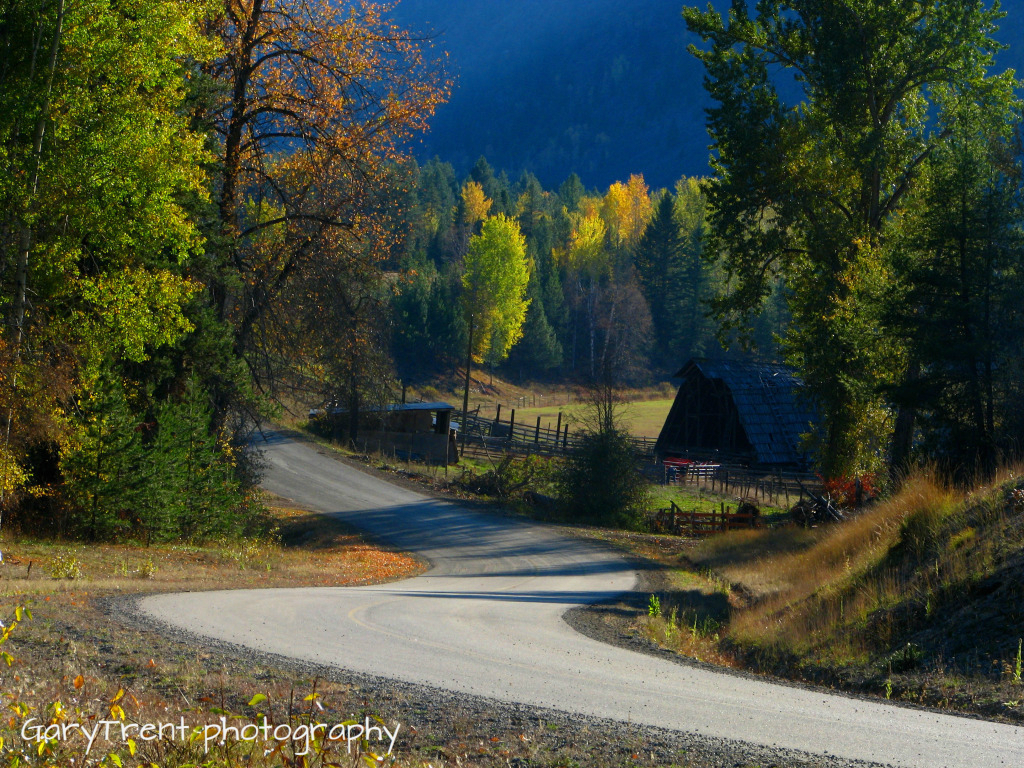
"Country Roads" Granby Wilderness north of Grand Forks B.C
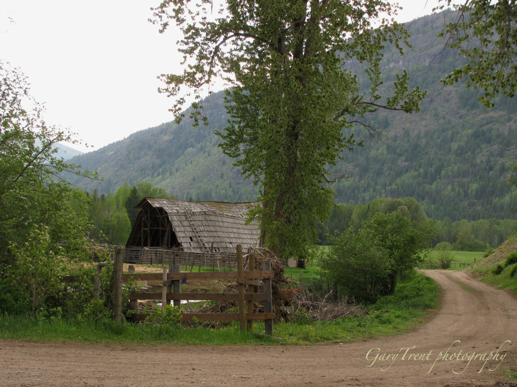
Country Road
Topographic Map of Kootenay Boundary D, BC, Canada
Find elevation by address:

Places in Kootenay Boundary D, BC, Canada:
Places near Kootenay Boundary D, BC, Canada:
North Forks Road
Kettle River
Kootenay Boundary
6055 Christian Valley Rd
6055 Christian Valley Rd
5855 Christian Valley Rd
5855 Christian Valley Rd
3260 Christian Valley Rd
Granby Drive
Edgewood
Jordan Road
Ferret Road
Inonoaklin Valley Road
Kootenay Boundary E
Okanagan Valley, Bc
Big White Ski Resort
4789 Snow Pines Way
Big White Mountain
Beaverdell
Big White Road
Recent Searches:
- Elevation of Corso Fratelli Cairoli, 35, Macerata MC, Italy
- Elevation of Tallevast Rd, Sarasota, FL, USA
- Elevation of 4th St E, Sonoma, CA, USA
- Elevation of Black Hollow Rd, Pennsdale, PA, USA
- Elevation of Oakland Ave, Williamsport, PA, USA
- Elevation of Pedrógão Grande, Portugal
- Elevation of Klee Dr, Martinsburg, WV, USA
- Elevation of Via Roma, Pieranica CR, Italy
- Elevation of Tavkvetili Mountain, Georgia
- Elevation of Hartfords Bluff Cir, Mt Pleasant, SC, USA