Elevation of Ninohe, Iwate, Japan
Location: Japan > Iwate Prefecture >
Longitude: 141.3050625
Latitude: 40.2711044
Elevation: 131m / 430feet
Barometric Pressure: 0KPa
Related Photos:

Mt.Iwate

男神岩展望台より - landscape
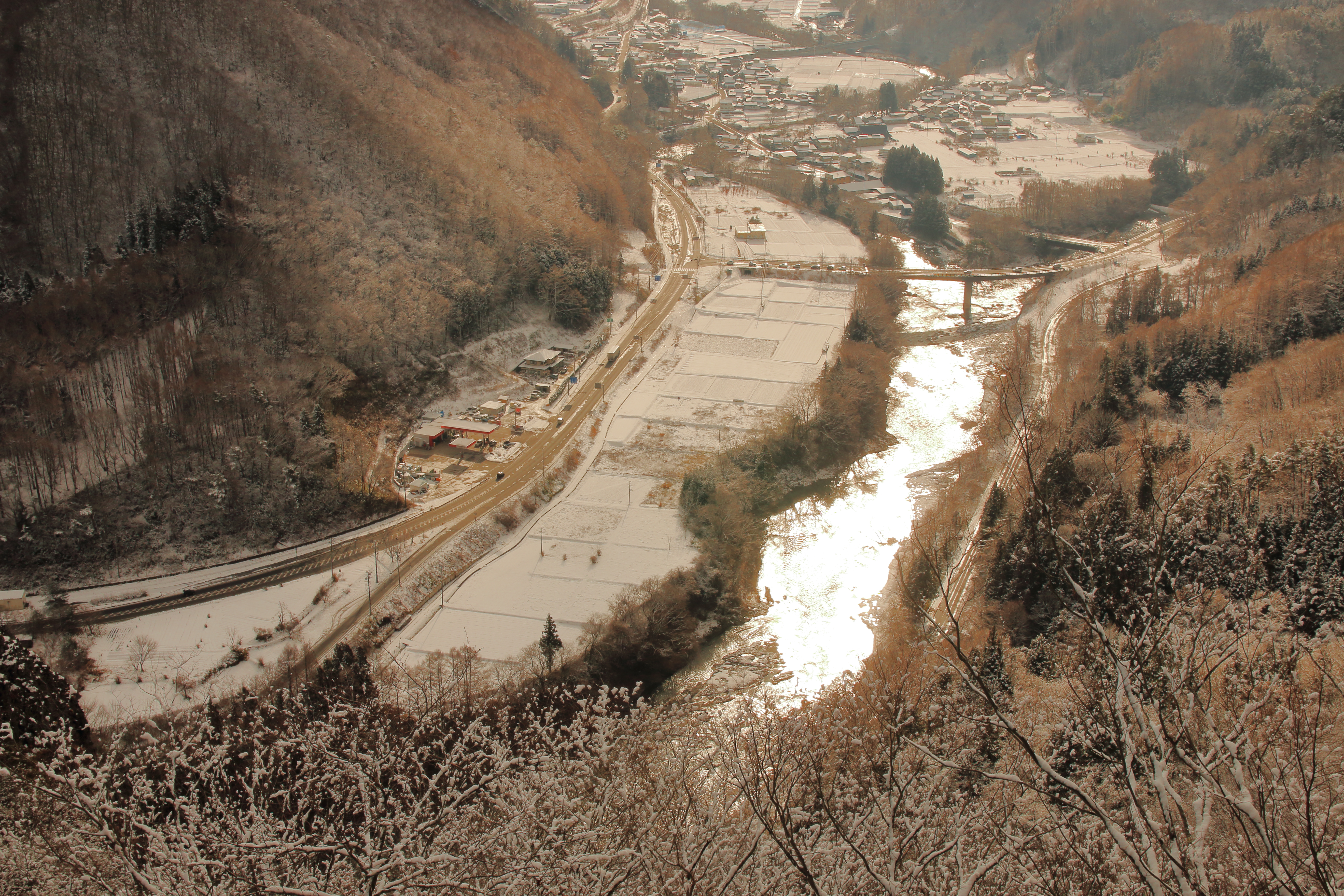
馬淵川 - Mabuchi river

20150304 11:48 Ninohe Iwate

馬淵川をチルトシフトしてみた

Steel tower

青森ツーリング

青森ツーリング

青森ツーリング

青森ツーリング

青森ツーリング

青森ツーリング

青森ツーリング

青森ツーリング
Topographic Map of Ninohe, Iwate, Japan
Find elevation by address:

Places near Ninohe, Iwate, Japan:
Uenoyama-23 Horino, Ninohe-shi, Iwate-ken -, Japan
Ichinohe
Sannohe
Ninohe District
Sannohe Castle
Shironoshita Umenai
Kunohe
Sawada-16 Tonai, Sannohe-machi, Sannohe-gun, Aomori-ken -, Japan
Dai 6 Chiwari-51 Ibonai, Kunohe-mura, Kunohe-gun, Iwate-ken -, Japan
Shinden-37 Mega, Ichinohe-machi, Ninohe-gun, Iwate-ken -, Japan
Dai 19 Chiwari- Toda, Kunohe-mura, Kunohe-gun, Iwate-ken -, Japan
Karumai
Dai 8 Chiwari--5 Karumai, Karumai-machi, Kunohe-gun, Iwate-ken -, Japan
Sannohe District
Takko
Shingo
Herai
Tonbigasawa-20 Yamaguchi, Takko-machi, Sannohe-gun, Aomori-ken -, Japan
Kunohe District
Gonohe
Recent Searches:
- Elevation map of Greenland, Greenland
- Elevation of Sullivan Hill, New York, New York, 10002, USA
- Elevation of Morehead Road, Withrow Downs, Charlotte, Mecklenburg County, North Carolina, 28262, USA
- Elevation of 2800, Morehead Road, Withrow Downs, Charlotte, Mecklenburg County, North Carolina, 28262, USA
- Elevation of Yangbi Yi Autonomous County, Yunnan, China
- Elevation of Pingpo, Yangbi Yi Autonomous County, Yunnan, China
- Elevation of Mount Malong, Pingpo, Yangbi Yi Autonomous County, Yunnan, China
- Elevation map of Yongping County, Yunnan, China
- Elevation of North 8th Street, Palatka, Putnam County, Florida, 32177, USA
- Elevation of 107, Big Apple Road, East Palatka, Putnam County, Florida, 32131, USA
- Elevation of Jiezi, Chongzhou City, Sichuan, China
- Elevation of Chongzhou City, Sichuan, China
- Elevation of Huaiyuan, Chongzhou City, Sichuan, China
- Elevation of Qingxia, Chengdu, Sichuan, China
- Elevation of Corso Fratelli Cairoli, 35, Macerata MC, Italy
- Elevation of Tallevast Rd, Sarasota, FL, USA
- Elevation of 4th St E, Sonoma, CA, USA
- Elevation of Black Hollow Rd, Pennsdale, PA, USA
- Elevation of Oakland Ave, Williamsport, PA, USA
- Elevation of Pedrógão Grande, Portugal