Elevation of Shironoshita Umenai, Sannohe, Sannohe District, Aomori -, Japan
Location: Japan > Aomori Prefecture > Sannohe District > Sannohe >
Longitude: 141.266201
Latitude: 40.3823579
Elevation: 128m / 420feet
Barometric Pressure: 100KPa
Elevation Map:
Satellite Map:
Related Photos:

Mt.Iwate

Jesus...

男神岩展望台より - landscape
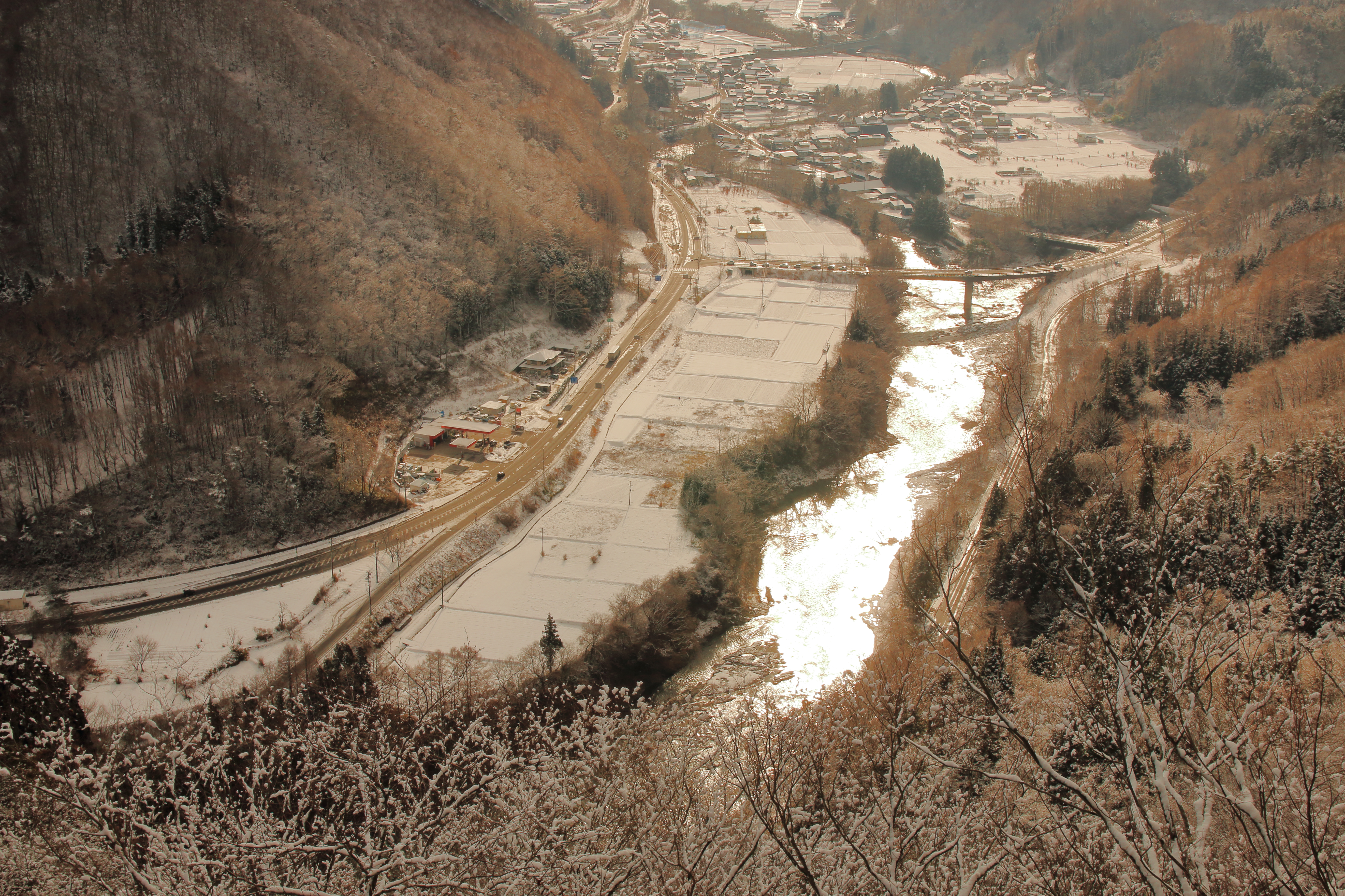
馬淵川 - Mabuchi river

Steel tower
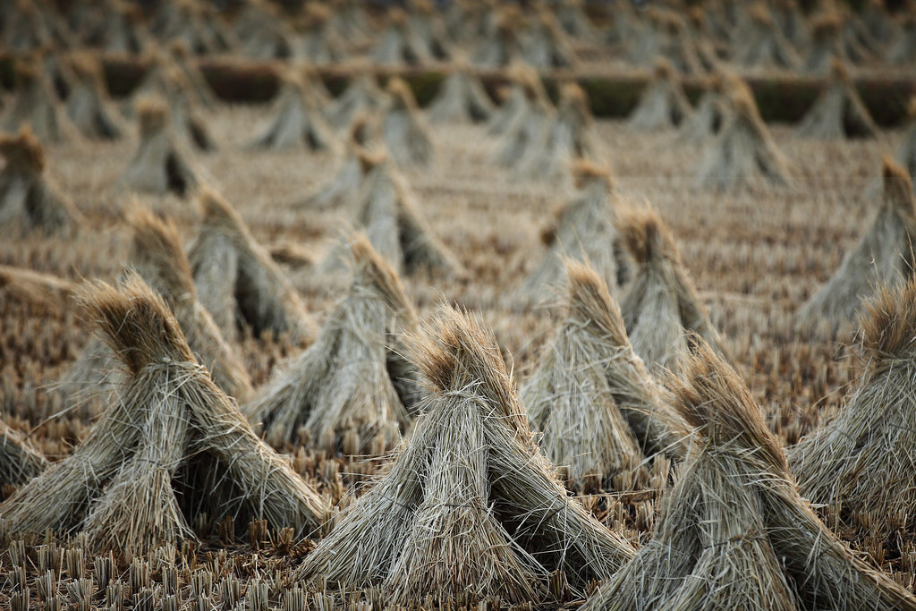
Longest straw

Cycle Memoreis

青森ツーリング

馬淵川をチルトシフトしてみた

青森ツーリング

青森ツーリング

青森ツーリング

青森ツーリング

青森ツーリング

青森ツーリング

青森ツーリング

青森ツーリング

青森ツーリング

青森ツーリング

青森ツーリング

青森ツーリング
Topographic Map of Shironoshita Umenai, Sannohe, Sannohe District, Aomori -, Japan
Find elevation by address:

Places near Shironoshita Umenai, Sannohe, Sannohe District, Aomori -, Japan:
Sannohe Castle
Sannohe
Sawada-16 Tonai, Sannohe-machi, Sannohe-gun, Aomori-ken -, Japan
Sannohe District
Uenoyama-23 Horino, Ninohe-shi, Iwate-ken -, Japan
Ninohe
Takko
Shingo
Herai
Gonohe
58 Shimoniida, Gonohe-machi, Sannohe-gun, Aomori-ken -, Japan
Ichinohe
Ishinashizaka Herai
Dai 8 Chiwari--5 Karumai, Karumai-machi, Kunohe-gun, Iwate-ken -, Japan
Karumai
Ishinashizaka-16 Herai
Kunohe
Ninohe District
Takkozawa-14 Korekawa, Hachinohe-shi, Aomori-ken -, Japan
Tonbigasawa-20 Yamaguchi, Takko-machi, Sannohe-gun, Aomori-ken -, Japan
Recent Searches:
- Elevation of Corso Fratelli Cairoli, 35, Macerata MC, Italy
- Elevation of Tallevast Rd, Sarasota, FL, USA
- Elevation of 4th St E, Sonoma, CA, USA
- Elevation of Black Hollow Rd, Pennsdale, PA, USA
- Elevation of Oakland Ave, Williamsport, PA, USA
- Elevation of Pedrógão Grande, Portugal
- Elevation of Klee Dr, Martinsburg, WV, USA
- Elevation of Via Roma, Pieranica CR, Italy
- Elevation of Tavkvetili Mountain, Georgia
- Elevation of Hartfords Bluff Cir, Mt Pleasant, SC, USA