Elevation of Karumai, Kunohe District, Iwate Prefecture, Japan
Location: Japan > Iwate Prefecture > Kunohe District >
Longitude: 141.460632
Latitude: 40.3267455
Elevation: 159m / 522feet
Barometric Pressure: 99KPa
Elevation Map:
Satellite Map:
Related Photos:
シャガ

01-02
住友金属鉱業 八戸石灰鉱山
八戸キャニオン
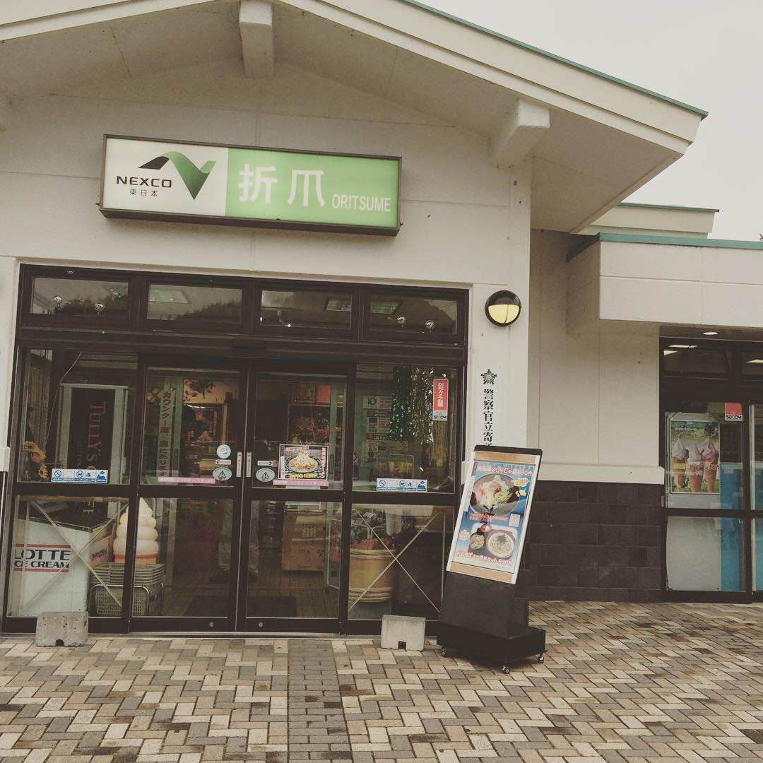
山の楽校
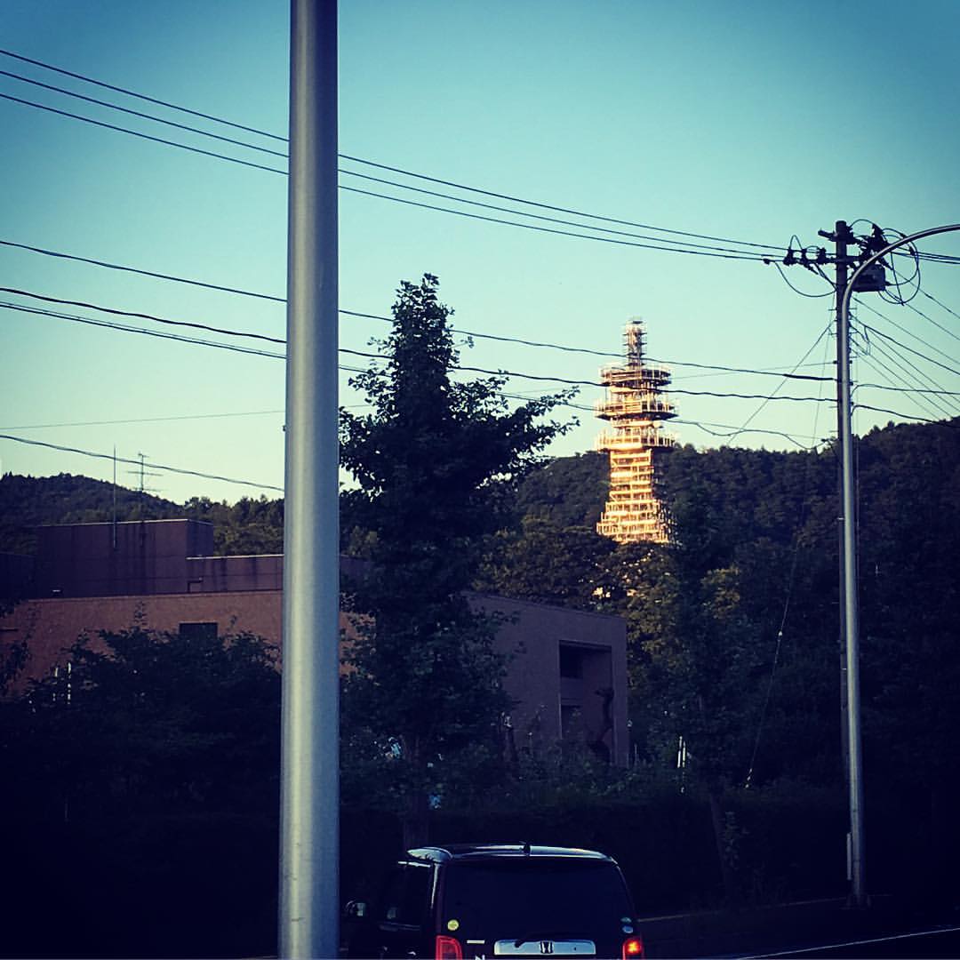
すごい建物が建ってる。
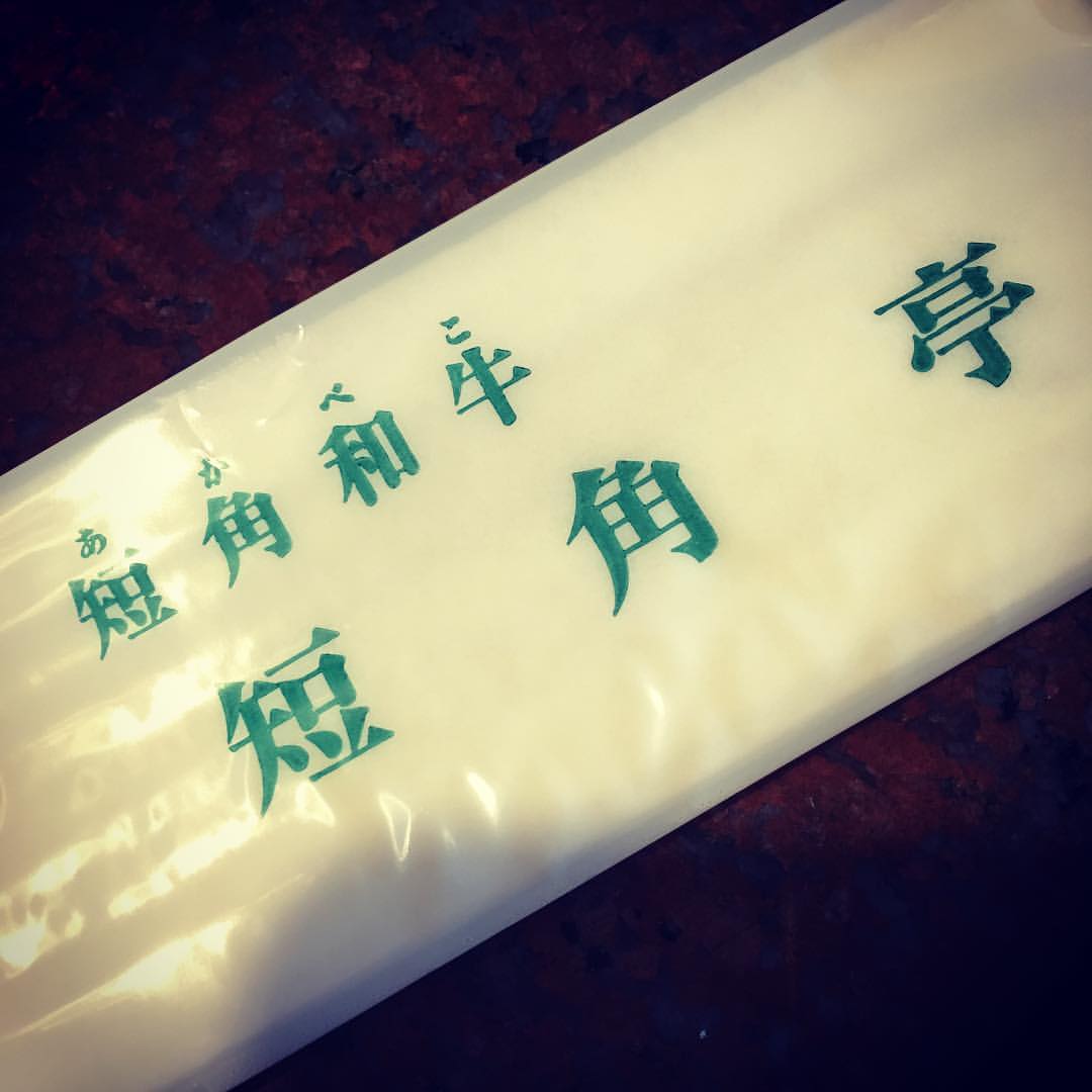
短角和牛をいただきに来ましたっ! (^_^)/
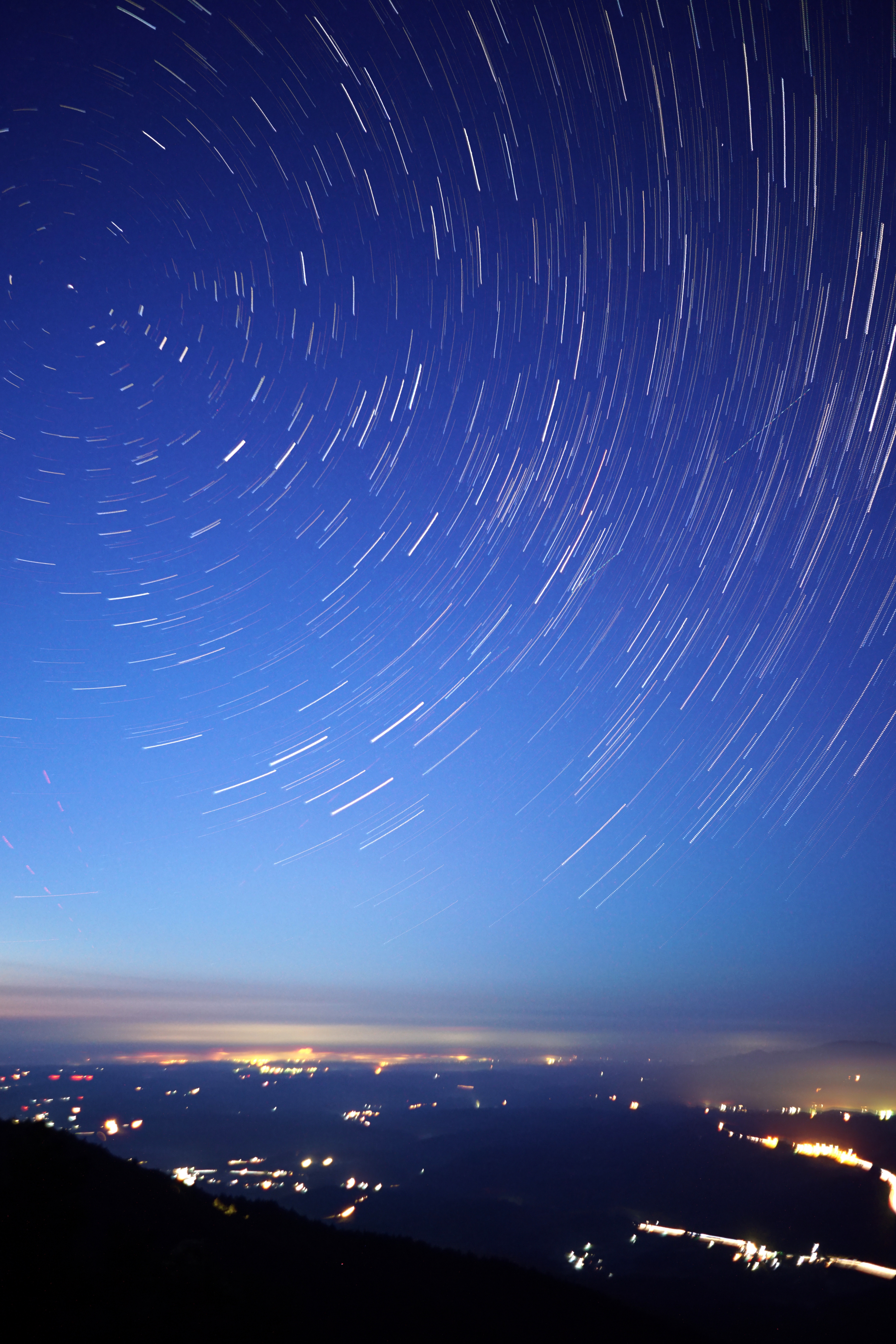
折爪星景 Star trails on Mt.Oritsume

キリの花

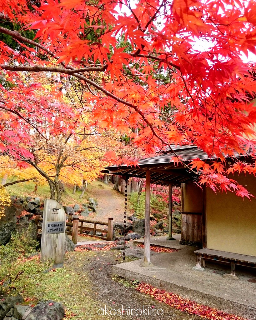
茶室
待合
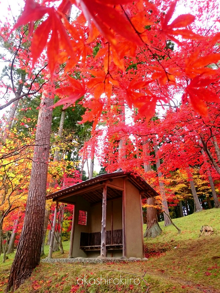
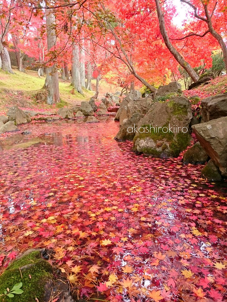
隠れもみじスポット
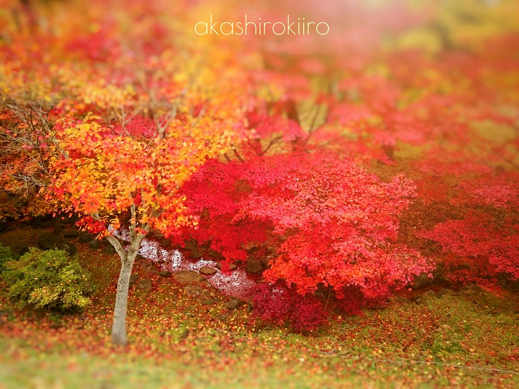
紅く染まる
カッコーの森エコーランド
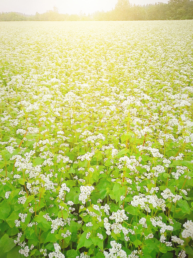
Buckwheat field

そば・ひまわりの花見週間
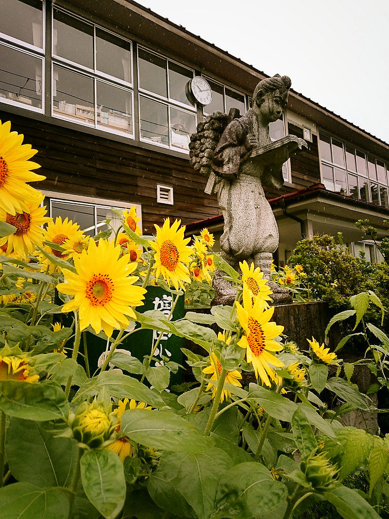
山の楽校
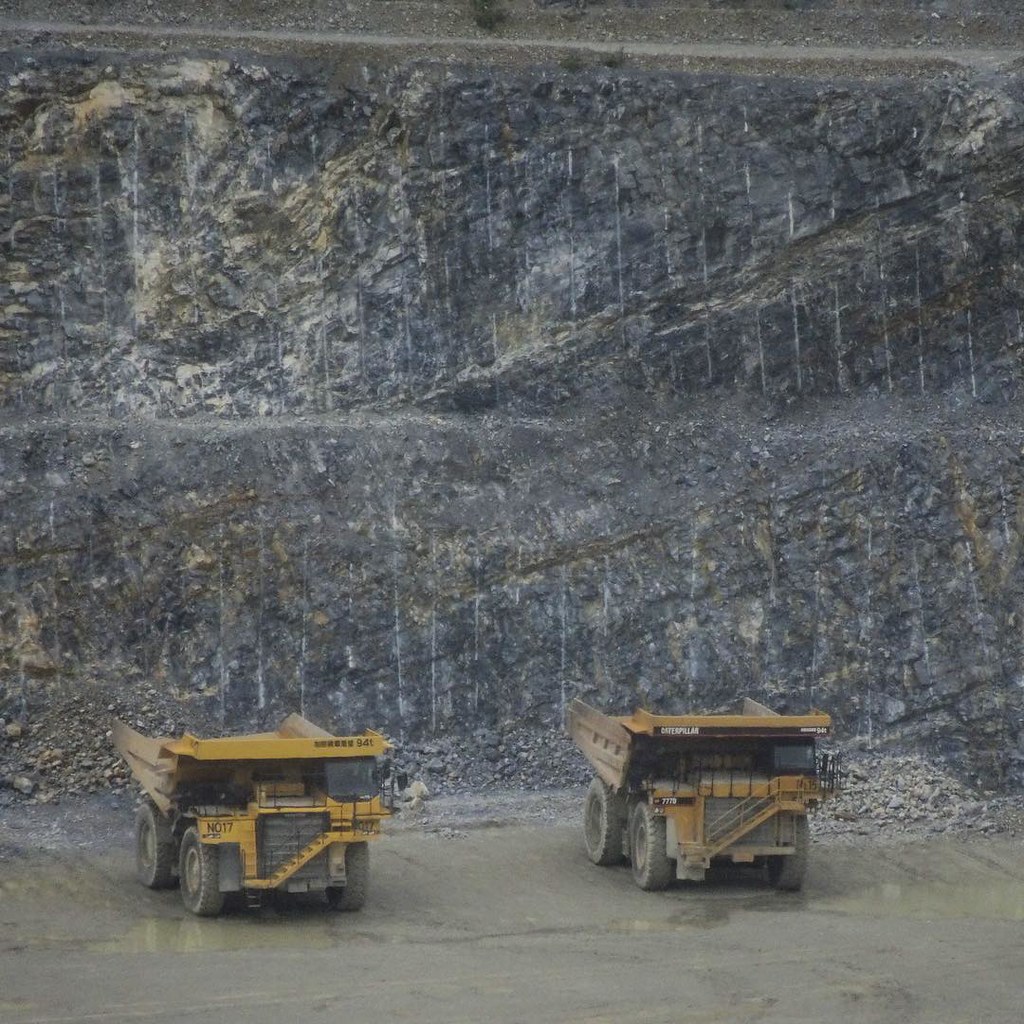
日本にこんな露天掘りがあるとは
移動中

ラパン

蔦サロンでの熊野さんのお話会
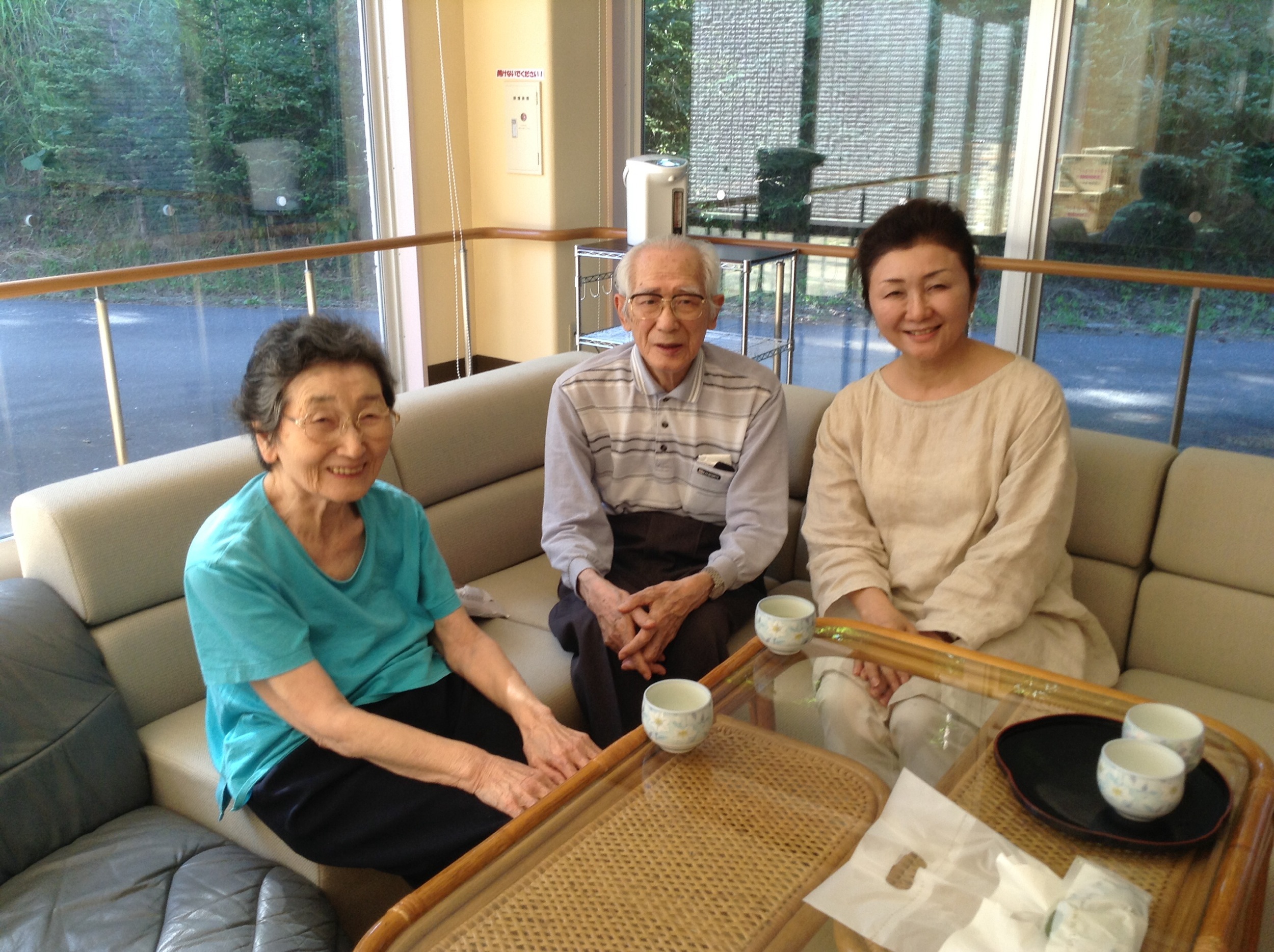
蔦サロンでの熊野さんのお話会
蔦サロンでの熊野さんのお話会
蔦サロンでの熊野さんのお話会
Topographic Map of Karumai, Kunohe District, Iwate Prefecture, Japan
Find elevation by address:

Places in Karumai, Kunohe District, Iwate Prefecture, Japan:
Places near Karumai, Kunohe District, Iwate Prefecture, Japan:
Dai 8 Chiwari--5 Karumai, Karumai-machi, Kunohe-gun, Iwate-ken -, Japan
Kunohe District
Kunohe
Dai 6 Chiwari-51 Ibonai, Kunohe-mura, Kunohe-gun, Iwate-ken -, Japan
Takkozawa-14 Korekawa, Hachinohe-shi, Aomori-ken -, Japan
Uenoyama-23 Horino, Ninohe-shi, Iwate-ken -, Japan
Gyōnin-17 Toyabe, Hashikami-chō, Sannohe-gun, Aomori-ken -, Japan
Ninohe
Hirono
Sannohe District
Dai 19 Chiwari- Toda, Kunohe-mura, Kunohe-gun, Iwate-ken -, Japan
Hachinohe
Ichinohe
Dai 58 Chiwari-12- Ōno, Hirono-chō, Kunohe-gun, Iwate-ken -, Japan
Shironoshita Umenai
Hashikami
Sannohe Castle
Sannohe
Same-56 Samemachi, Hachinohe-shi, Aomori-ken -, Japan
Onibatai-11 Samemachi, Hachinohe-shi, Aomori-ken -, Japan
Recent Searches:
- Elevation of Corso Fratelli Cairoli, 35, Macerata MC, Italy
- Elevation of Tallevast Rd, Sarasota, FL, USA
- Elevation of 4th St E, Sonoma, CA, USA
- Elevation of Black Hollow Rd, Pennsdale, PA, USA
- Elevation of Oakland Ave, Williamsport, PA, USA
- Elevation of Pedrógão Grande, Portugal
- Elevation of Klee Dr, Martinsburg, WV, USA
- Elevation of Via Roma, Pieranica CR, Italy
- Elevation of Tavkvetili Mountain, Georgia
- Elevation of Hartfords Bluff Cir, Mt Pleasant, SC, USA