Elevation of Dai 19 Chiwari- Toda, Kunohe-mura, Kunohe-gun, Iwate-ken -, Japan
Location: Japan > Iwate Prefecture > Kunohe District > Kunohe >
Longitude: 141.415056
Latitude: 40.1502375
Elevation: 427m / 1401feet
Barometric Pressure: 96KPa
Elevation Map:
Satellite Map:
Related Photos:

青森ツーリング

青森ツーリング

青森ツーリング

青森ツーリング

青森ツーリング

青森ツーリング

青森ツーリング
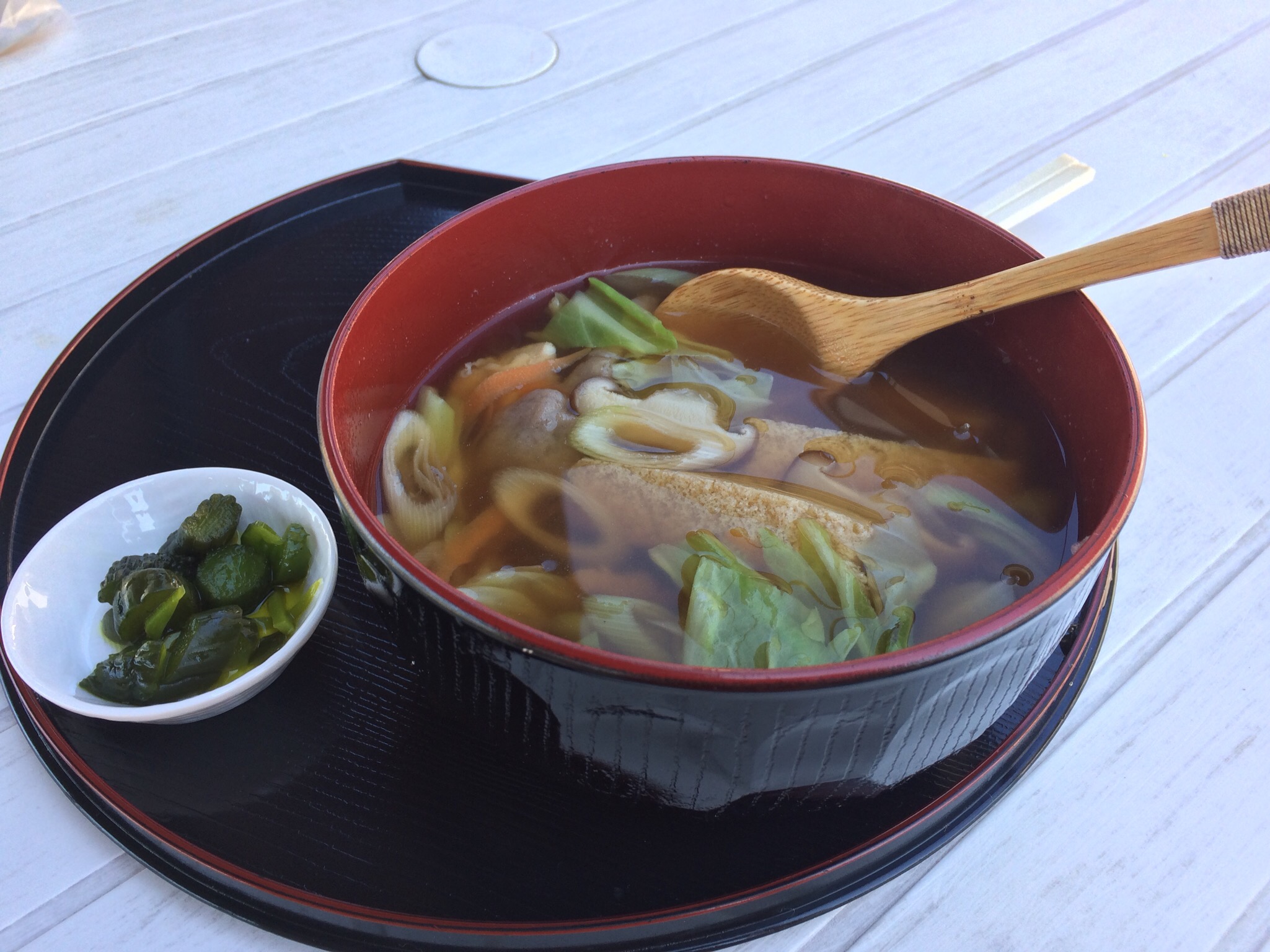
2016岩手グルメ
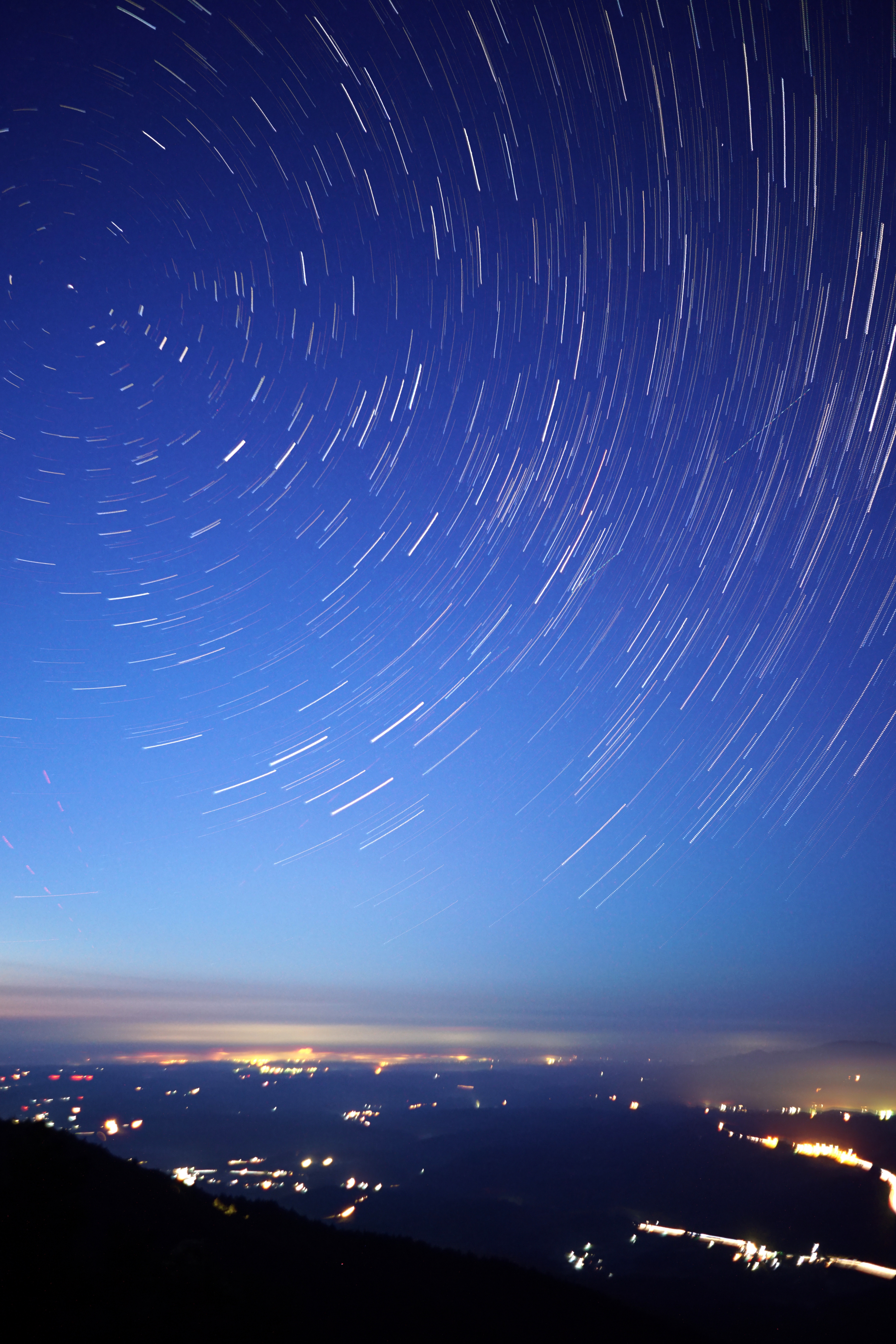
折爪星景 Star trails on Mt.Oritsume
Topographic Map of Dai 19 Chiwari- Toda, Kunohe-mura, Kunohe-gun, Iwate-ken -, Japan
Find elevation by address:

Places near Dai 19 Chiwari- Toda, Kunohe-mura, Kunohe-gun, Iwate-ken -, Japan:
Dai 6 Chiwari-51 Ibonai, Kunohe-mura, Kunohe-gun, Iwate-ken -, Japan
Kunohe
Dai 15 Chiwari-21 Kuzumaki, Kuzumaki-machi, Iwate-gun, Iwate-ken -, Japan
Kuzumaki
Ninohe District
Ichinohe
Shinden-37 Mega, Ichinohe-machi, Ninohe-gun, Iwate-ken -, Japan
Ninohe
Uenoyama-23 Horino, Ninohe-shi, Iwate-ken -, Japan
Karumai
Dai 8 Chiwari--5 Karumai, Karumai-machi, Kunohe-gun, Iwate-ken -, Japan
Kunohe District
Iwate District
Hirono
Iwate
Dai 22 Chiwari- Kawaguchi, Iwate-machi, Iwate-gun, Iwate-ken -, Japan
Dai 58 Chiwari-12- Ōno, Hirono-chō, Kunohe-gun, Iwate-ken -, Japan
Shironoshita Umenai
Sannohe Castle
Sannohe
Recent Searches:
- Elevation of Corso Fratelli Cairoli, 35, Macerata MC, Italy
- Elevation of Tallevast Rd, Sarasota, FL, USA
- Elevation of 4th St E, Sonoma, CA, USA
- Elevation of Black Hollow Rd, Pennsdale, PA, USA
- Elevation of Oakland Ave, Williamsport, PA, USA
- Elevation of Pedrógão Grande, Portugal
- Elevation of Klee Dr, Martinsburg, WV, USA
- Elevation of Via Roma, Pieranica CR, Italy
- Elevation of Tavkvetili Mountain, Georgia
- Elevation of Hartfords Bluff Cir, Mt Pleasant, SC, USA