Elevation of Newport Ct, Discovery Bay, CA, USA
Location: United States > California > San Joaquin County > Discovery Bay >
Longitude: -121.61661
Latitude: 37.8917778
Elevation: 5m / 16feet
Barometric Pressure: 101KPa
Elevation Map:
Satellite Map:
Related Photos:

Saturday Night Live

Old Times
Morning In Antioch
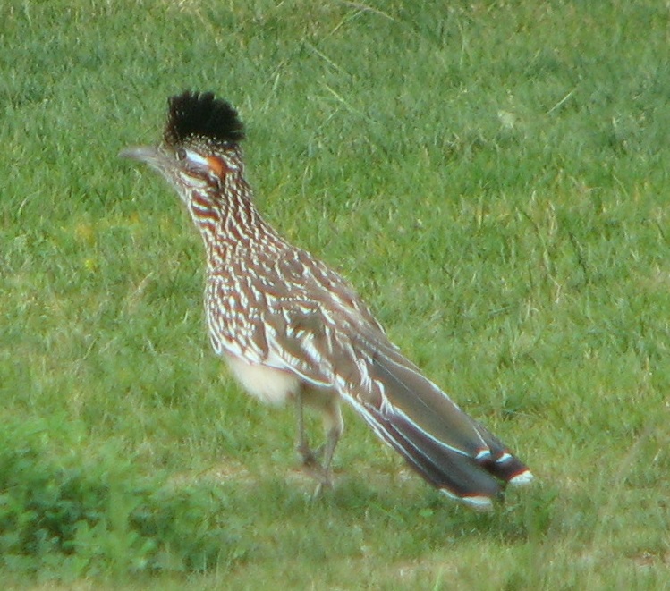
Greater Roadrunner
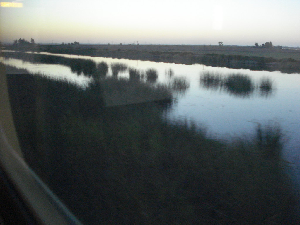
Amtrak from Stockton CA to San Francisco

Happy Cows
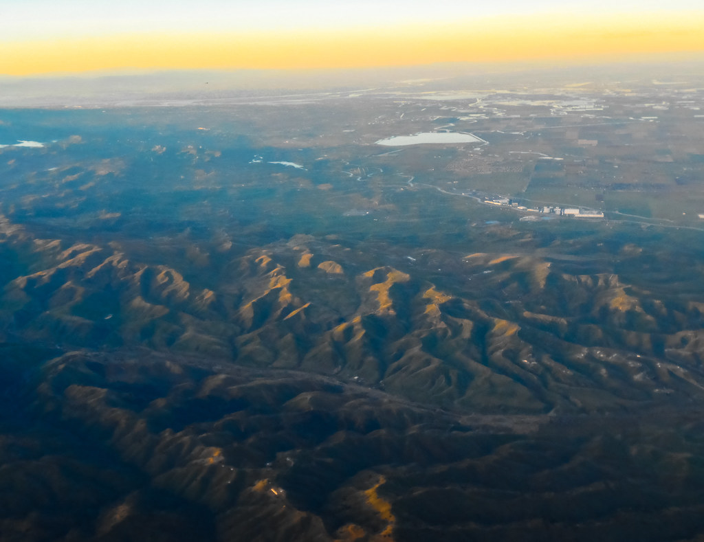
Aerial view of Suisun Bay and Sacramento River Delta in Northern California approaching Sunset

bacon island bridge. 2013.

The House on Byron Highway

'54 Chevy Truck

I like this view ????
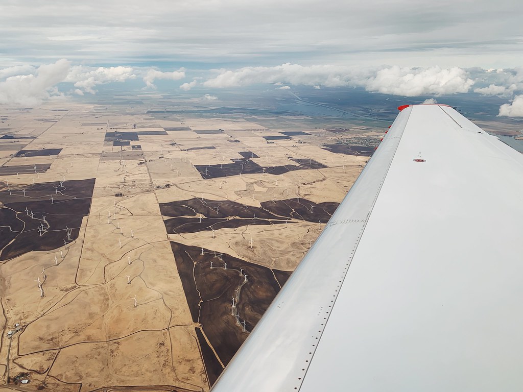
wind farm solano county.
Day 10 (2013-01-10)

Shore birds at Big Break Regional Shoreline

Just when you think it's done ...
snake?
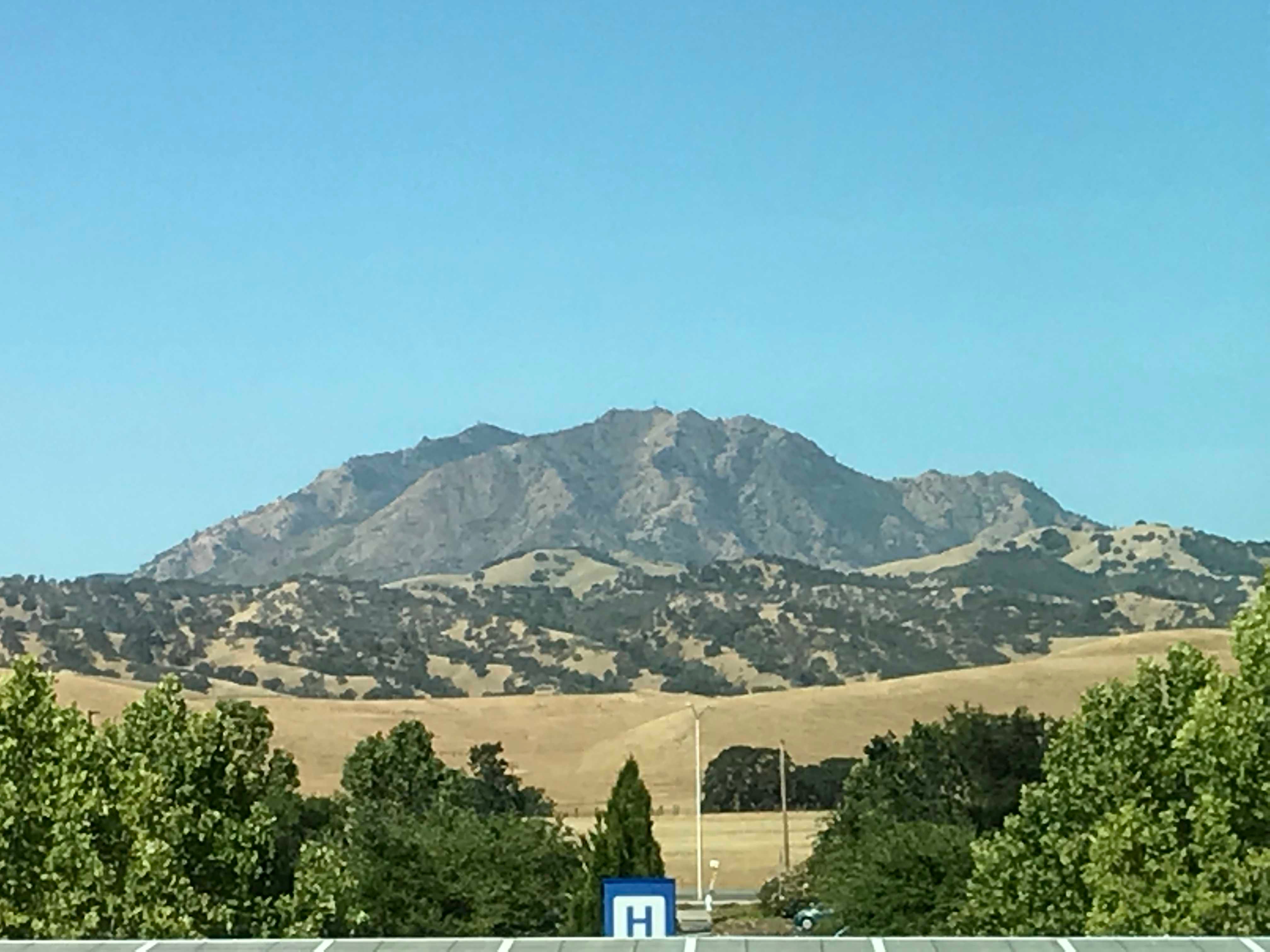
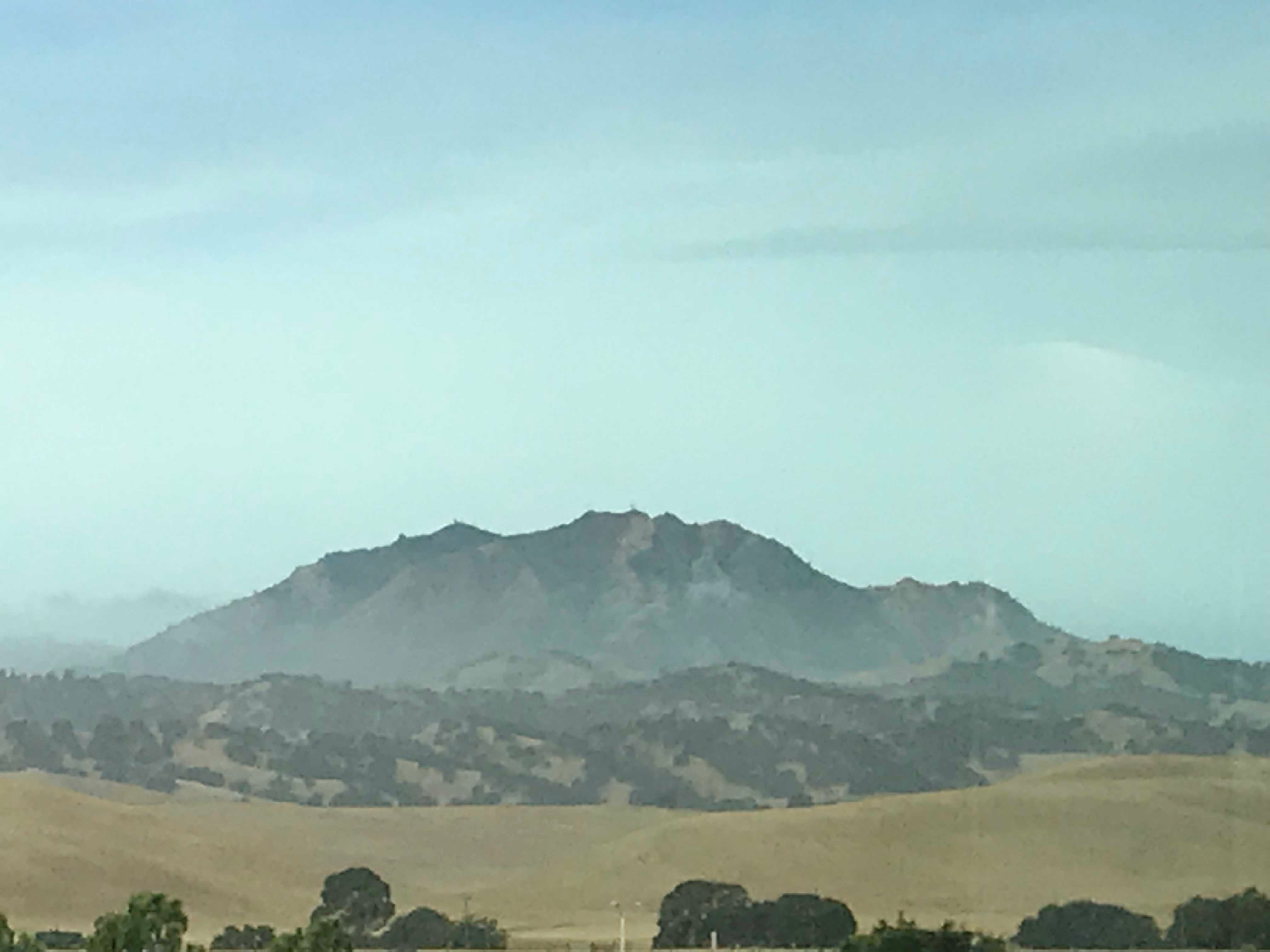
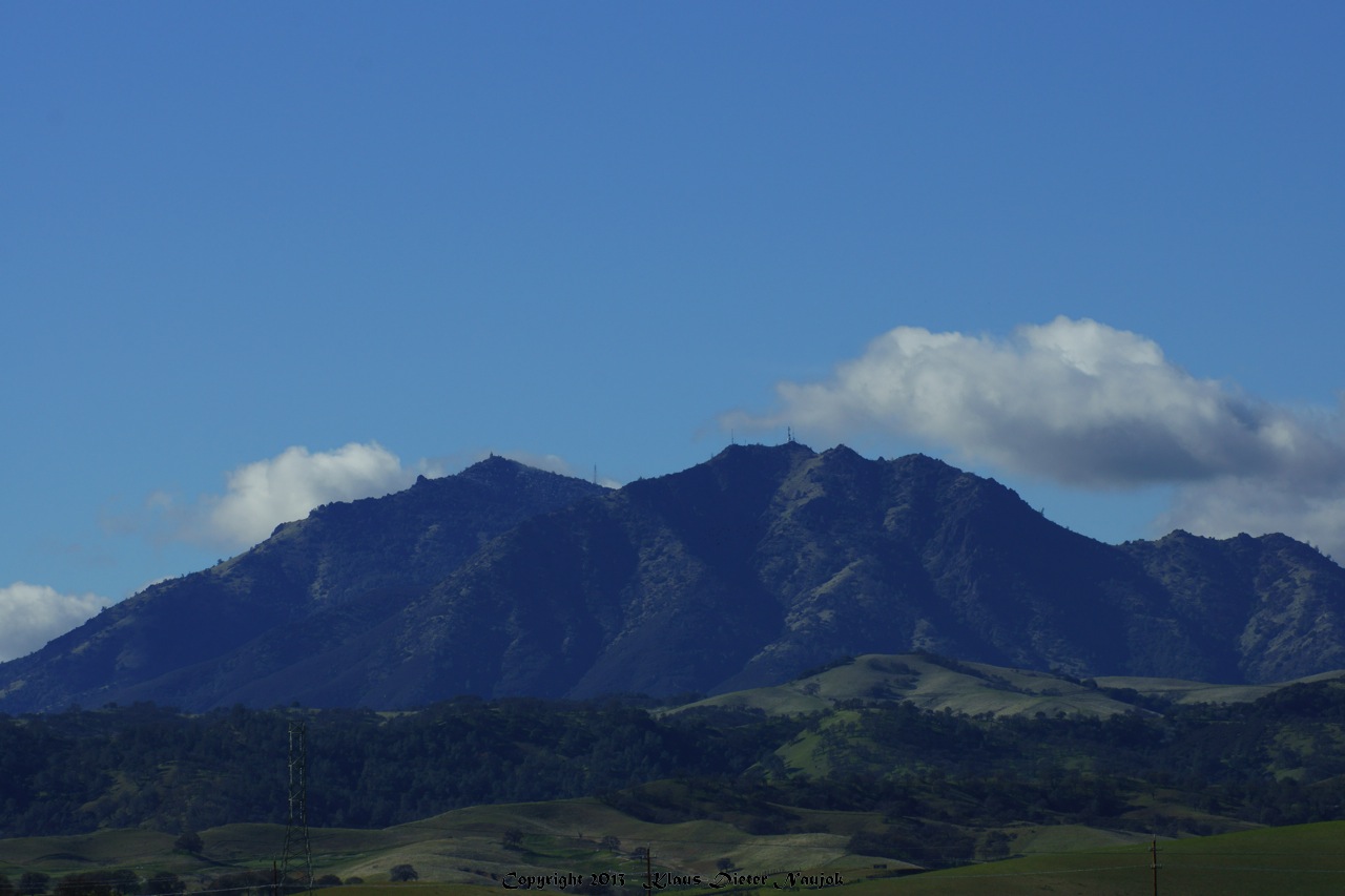
View To Diablo
Tres Vaqueros views

Diablo Sky Burn

Just when you think it's done ...

7g. Sedge Seeds

Across The Sky, Discovery Bay

It is always worth it

Old House in Knightsen

California Gold Rush

comet panstarrs and crescent moon above round valley
Grazing Cattle, Alameda County, CA

Silent Scenes , Discovery Bay California

God's Country , Byron California
fire and ice
moon reflection before sunrise

In Peace

Sunset, Union Island and Mount Diablo
Topographic Map of Newport Ct, Discovery Bay, CA, USA
Find elevation by address:

Places near Newport Ct, Discovery Bay, CA, USA:
Hampshire Drive
3501 Byer Rd
Discovery Bay
2414 Pinehurst Ct
2223 Pinehurst Ct
Pinehurst Court
5662 Oakmont Ct
2217 Prestwick Dr
5661 Oakmont Ct
Byron
New Melones Circle
15645 Byron Hwy
E Hwy 4, Discovery Bay, CA, USA
Clifton Court Forebay
7000 Orwood Rd
Orwood Rd, Knightsen, CA, USA
Stockton, CA, USA
S Natali Rd, Stockton, CA, USA
2012 Franklin Ave
2041 Lucerne Ave
Recent Searches:
- Elevation of Corso Fratelli Cairoli, 35, Macerata MC, Italy
- Elevation of Tallevast Rd, Sarasota, FL, USA
- Elevation of 4th St E, Sonoma, CA, USA
- Elevation of Black Hollow Rd, Pennsdale, PA, USA
- Elevation of Oakland Ave, Williamsport, PA, USA
- Elevation of Pedrógão Grande, Portugal
- Elevation of Klee Dr, Martinsburg, WV, USA
- Elevation of Via Roma, Pieranica CR, Italy
- Elevation of Tavkvetili Mountain, Georgia
- Elevation of Hartfords Bluff Cir, Mt Pleasant, SC, USA