Elevation of Byron, CA, USA
Location: United States > California > Contra Costa County >
Longitude: -121.63800
Latitude: 37.8671476
Elevation: 9m / 30feet
Barometric Pressure: 101KPa
Elevation Map:
Satellite Map:
Related Photos:

The Road Less Traveled...a Single RAW HDR

The Milky Way over Round Valley
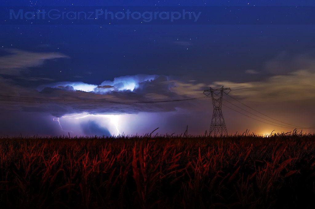
Lightning and Cornstalks in California

Saturday Night Live
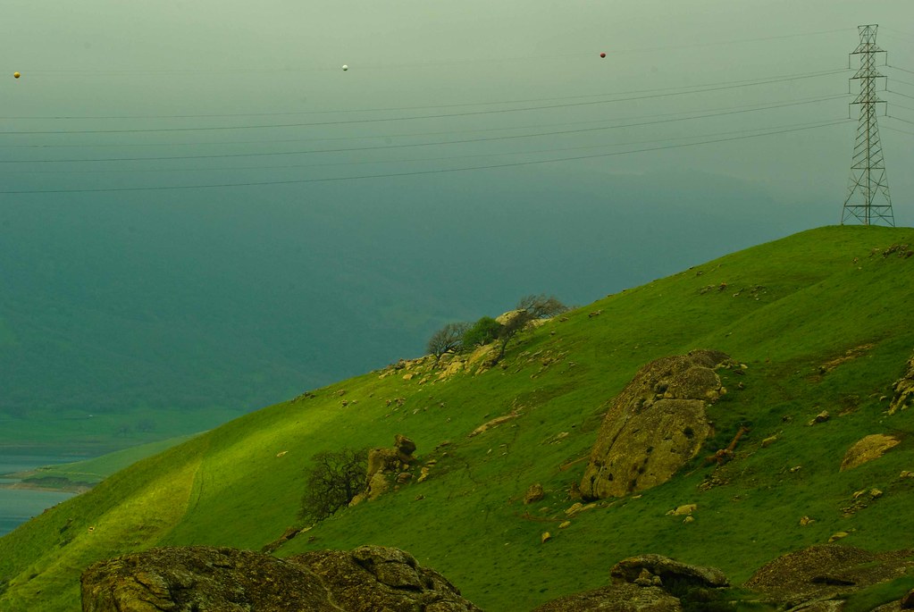
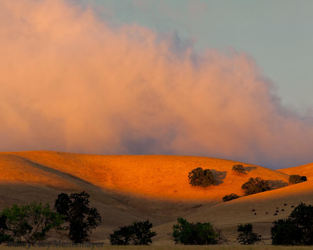
big cloud-brushy peak

EXPLORED: 1/365 - St. Anne Church a Single Raw HDR
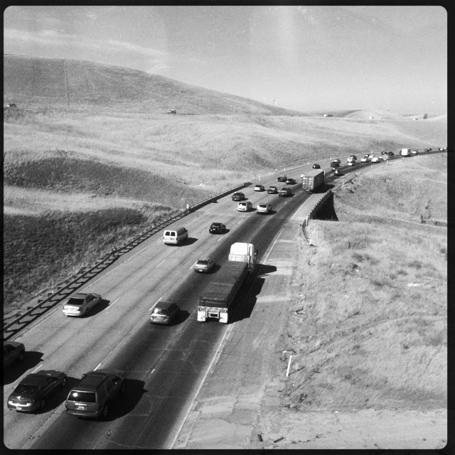
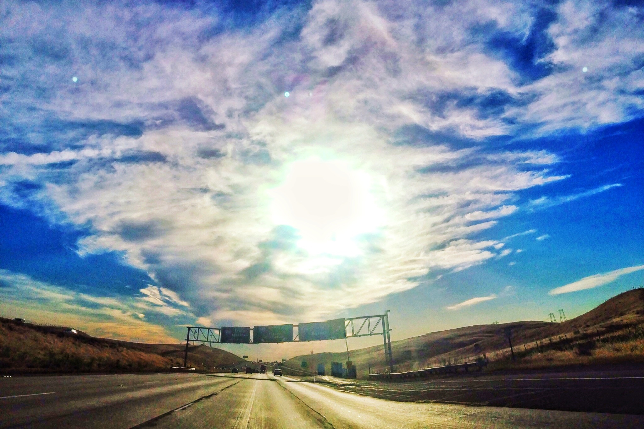
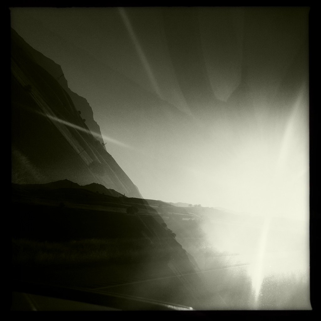
Interstate 580, eastbound down
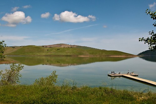
Reflections of Earth
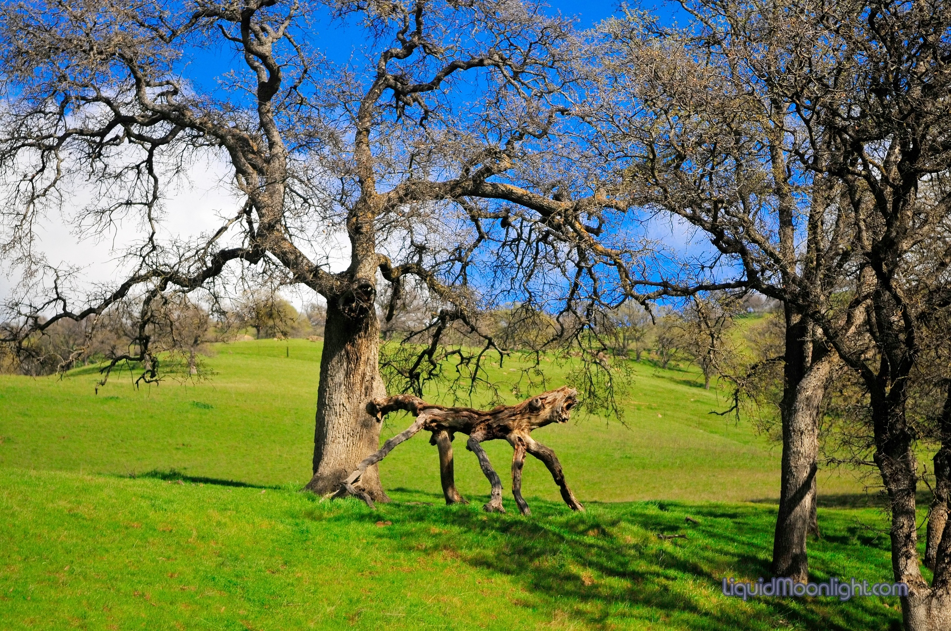
The Snarling Beast of Round Valley - Round Valley Regional Park California
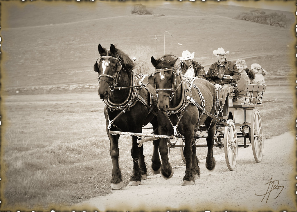
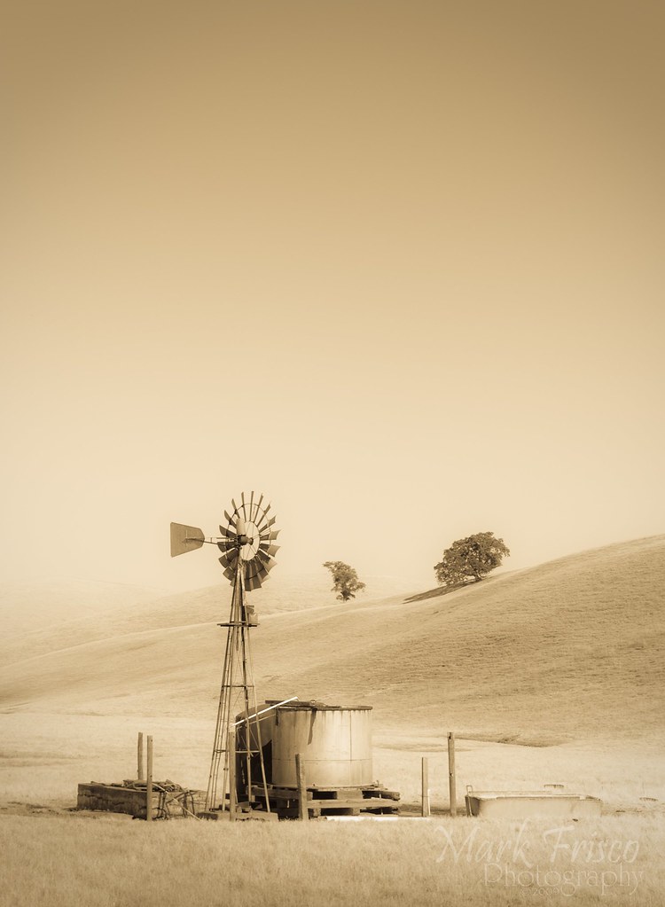
Old Times

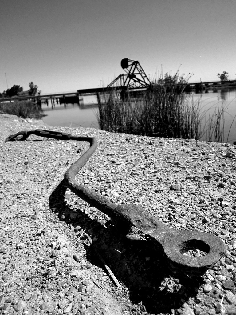
woodward ferry. california delta. 2011.
20121209-DSC04377.jpg
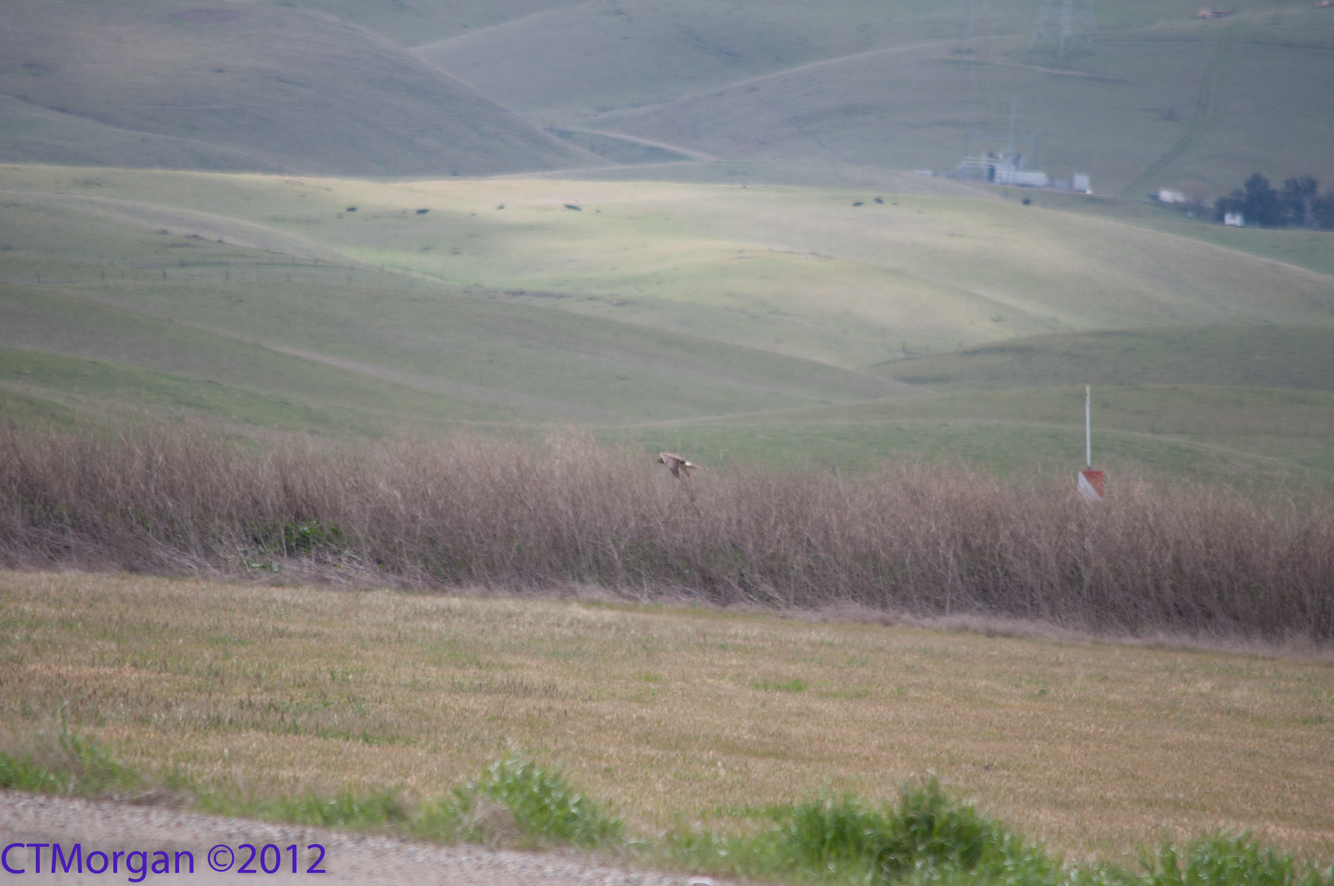
Race Against Time
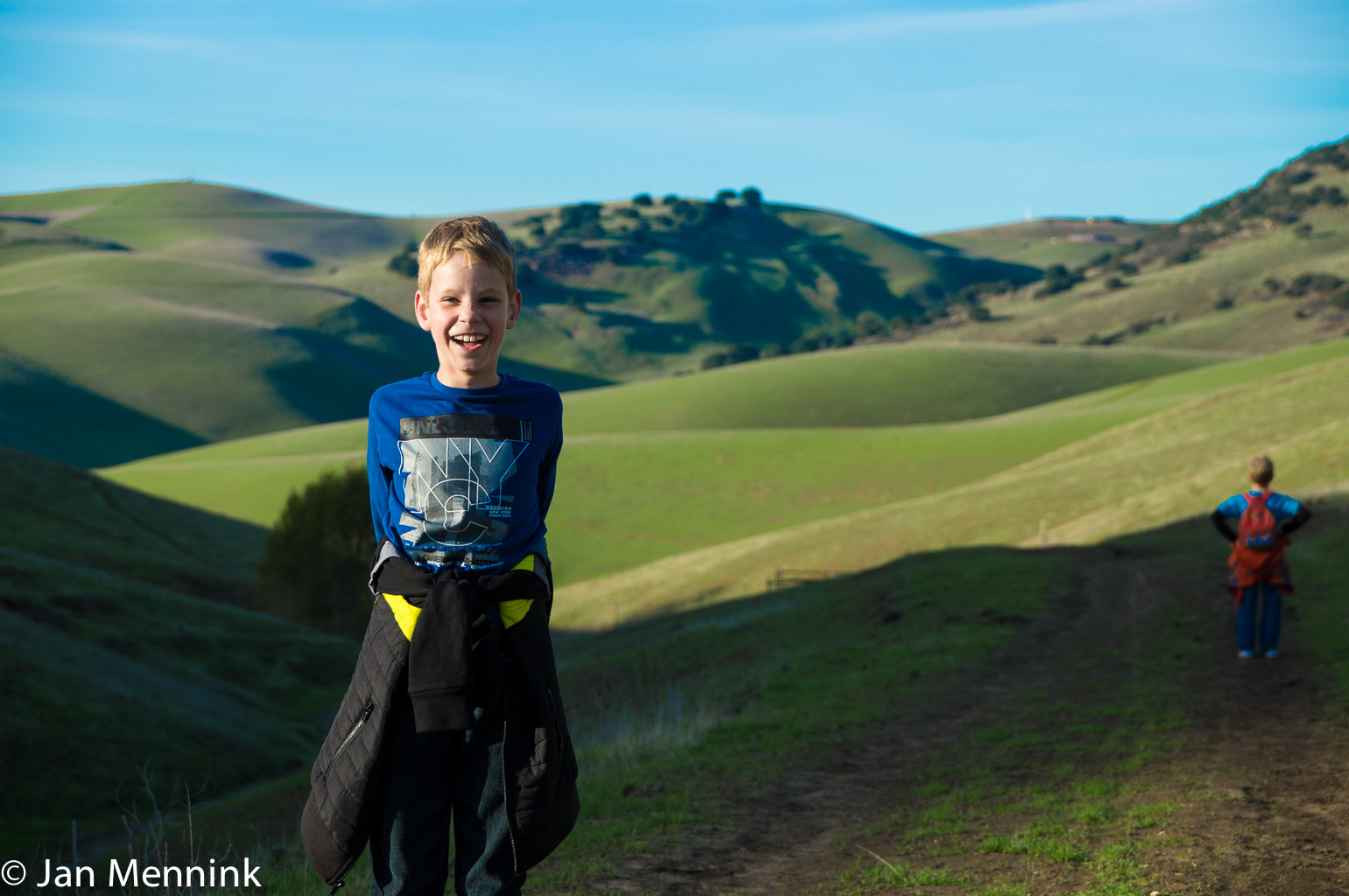
Tres Vaqueros views
snake?

View from Los Vaqueros Watershed Los Vaqueros Trail
Tres Vaqueros views
Radar jammers
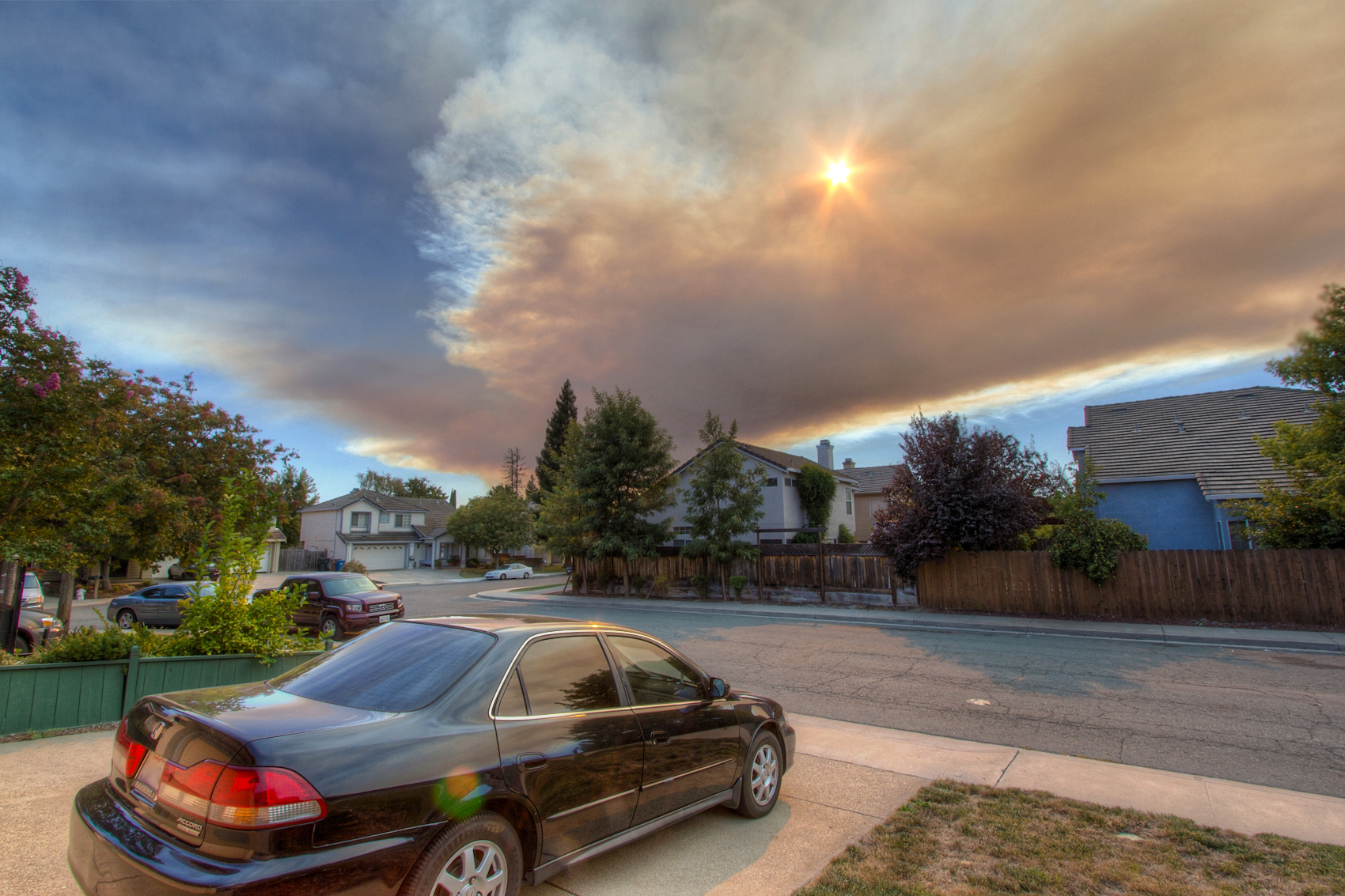
Vegetation fire smoke plume over Antioch California

I like this view ????
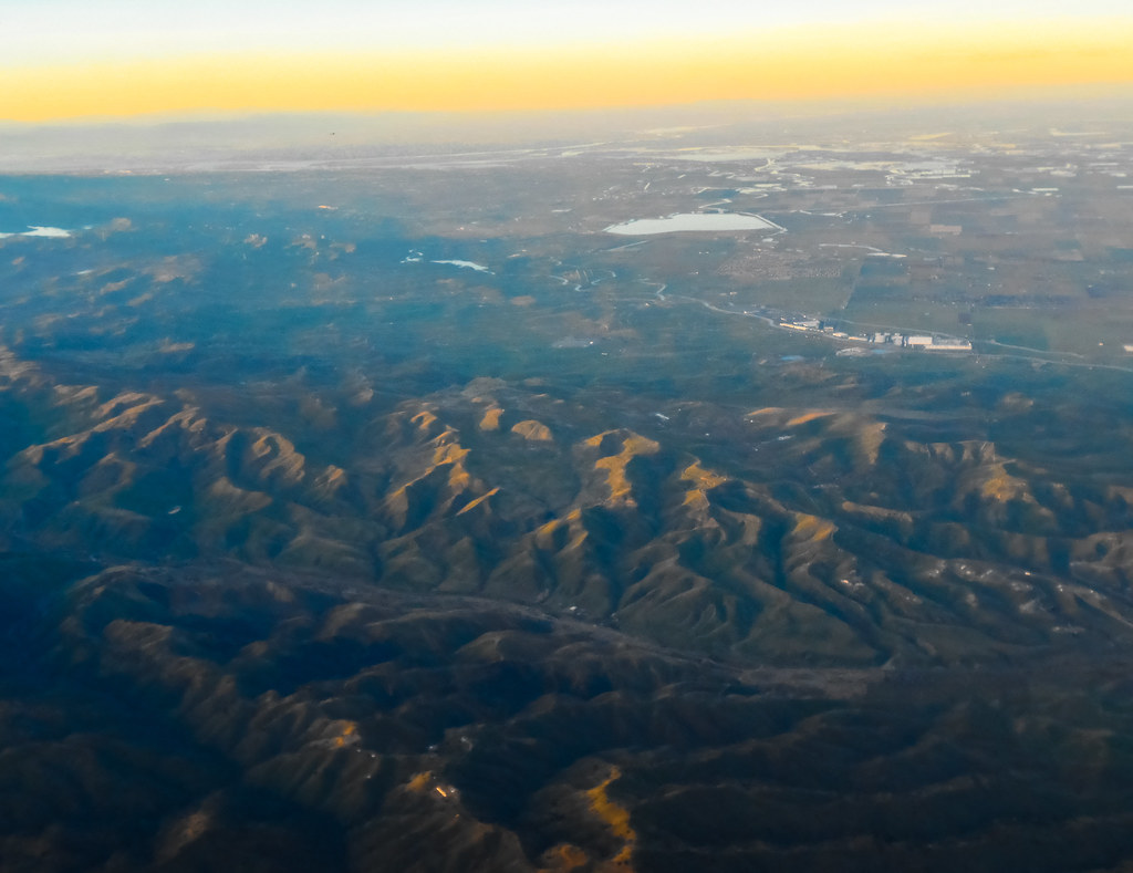
Aerial view of Suisun Bay and Sacramento River Delta in Northern California approaching Sunset
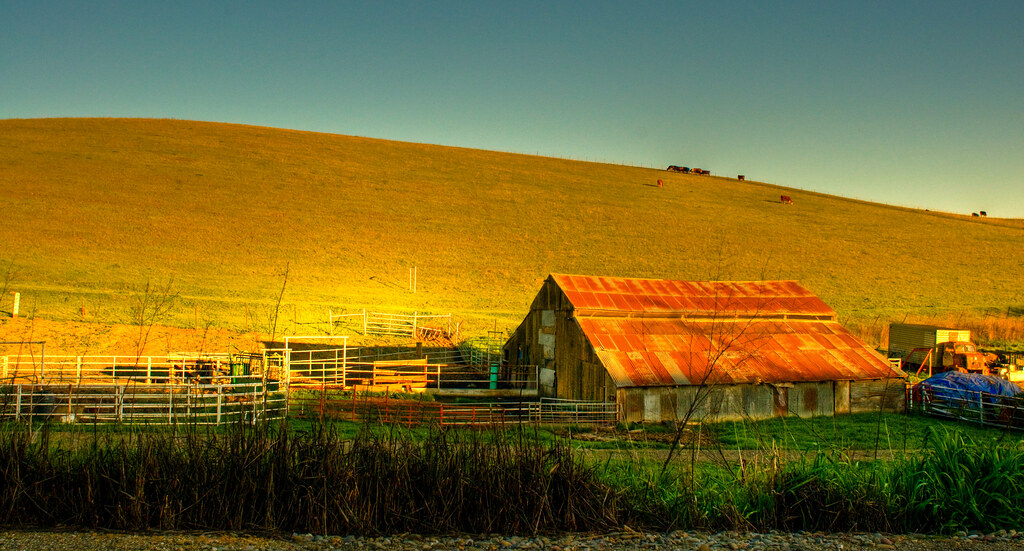
It is always worth it

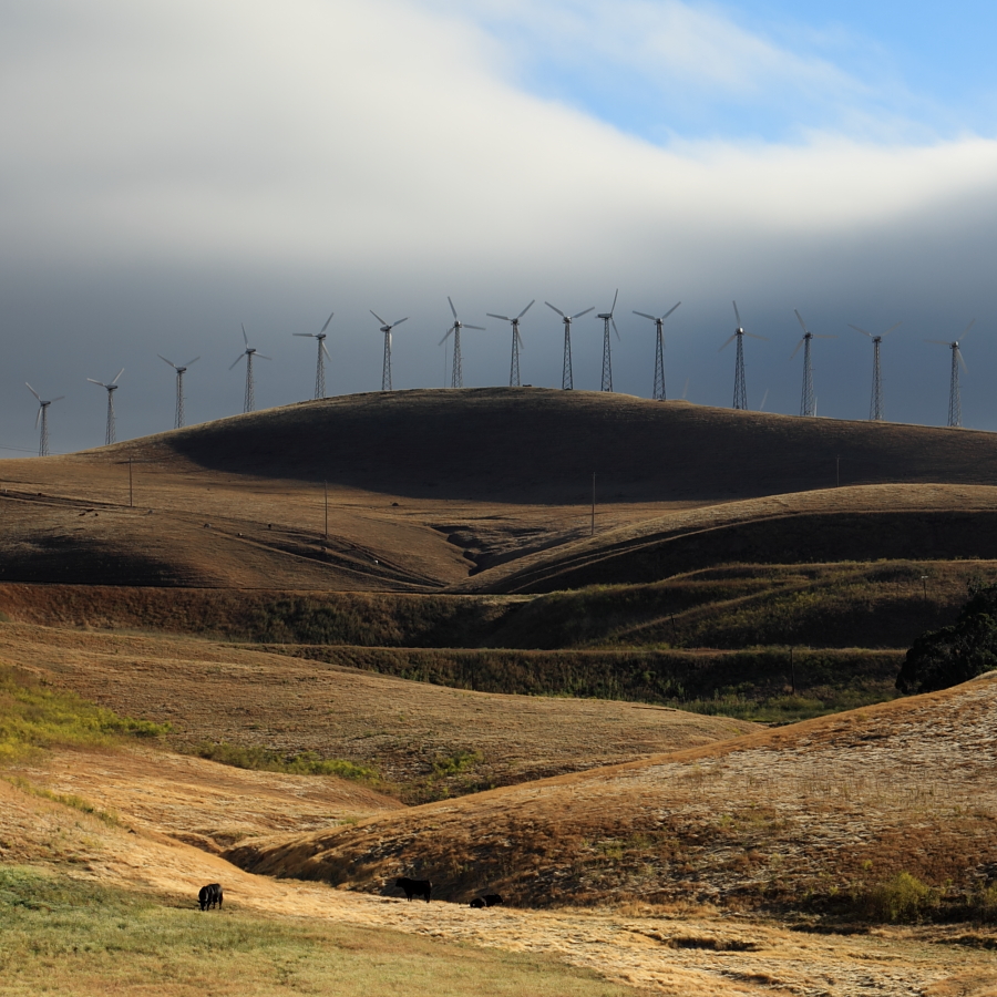
charles brush's turbines
Morgan Territory Road, Livermore, California

Across The Sky, Discovery Bay
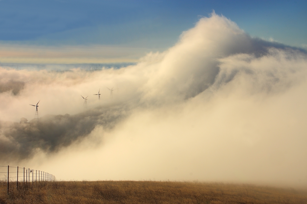
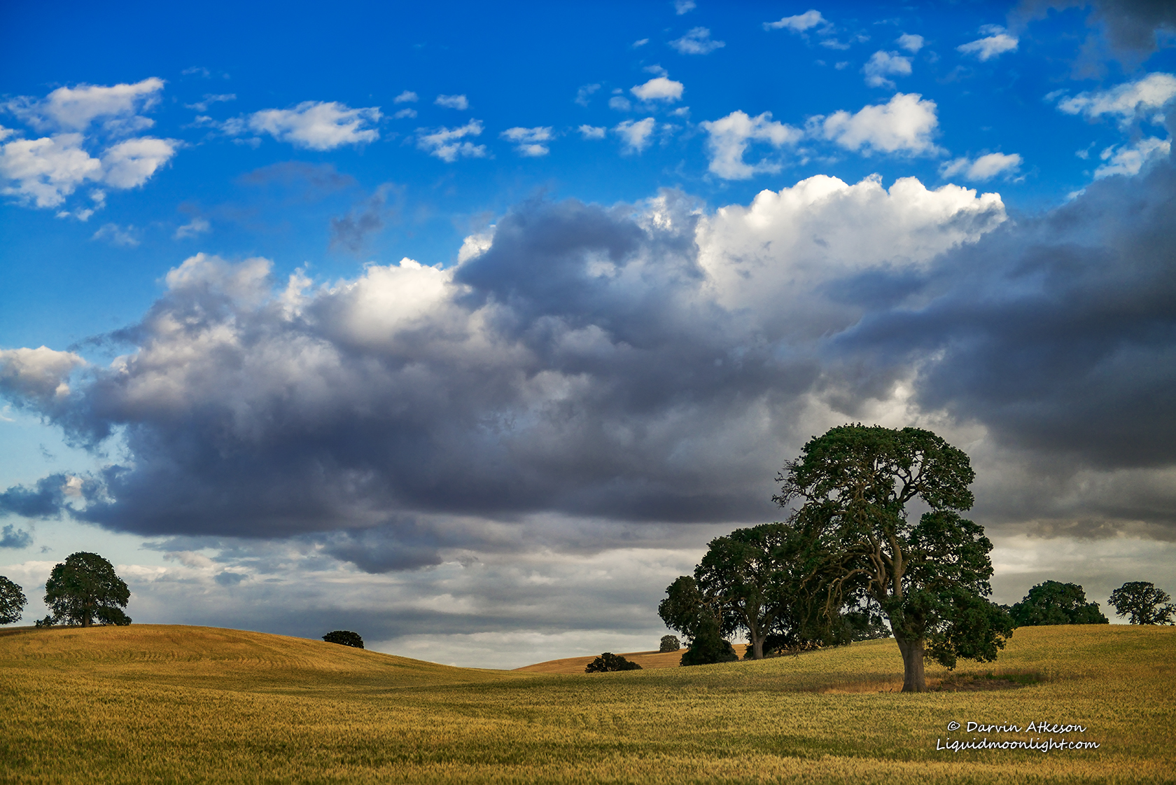
Morning Fog, Diablo Range, Contra Costa, CA
On The Way Home no. 1
The Buzz Cut
California Gold Rush
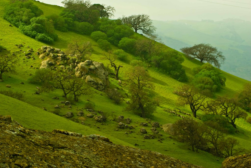
Valley - Brushy Peak Park
Old House in Knightsen
fire and ice
moon reflection before sunrise
SUN LANDSCAPE - Double Exposure
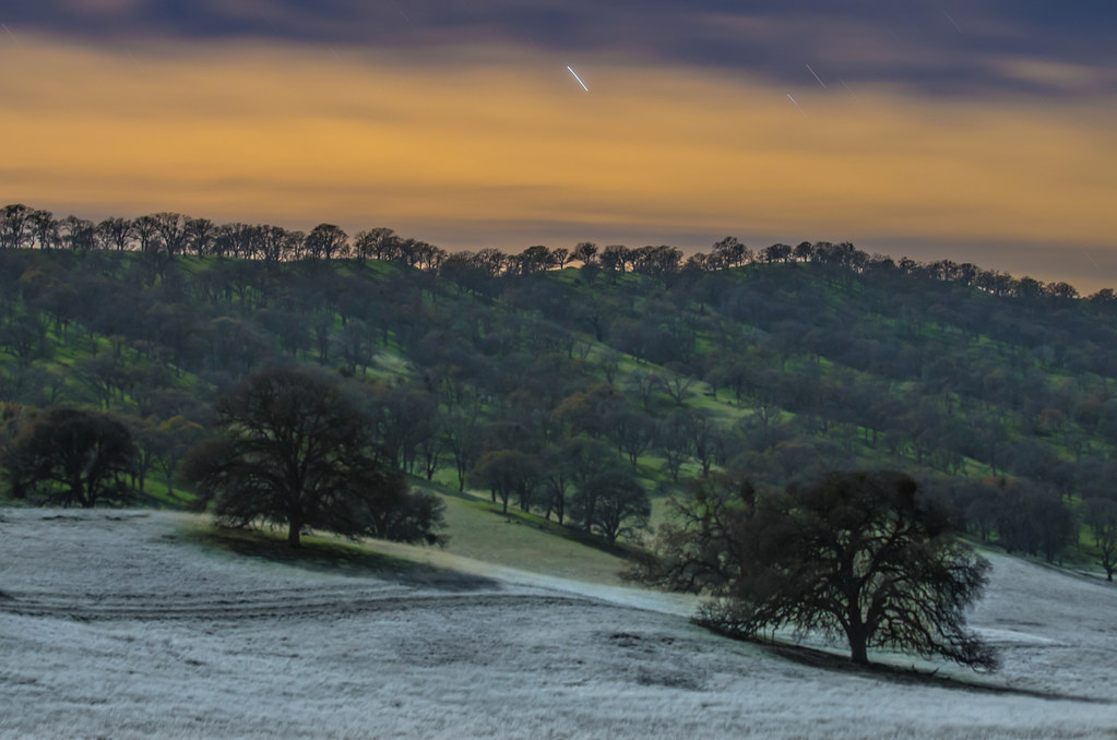
moonlit frost
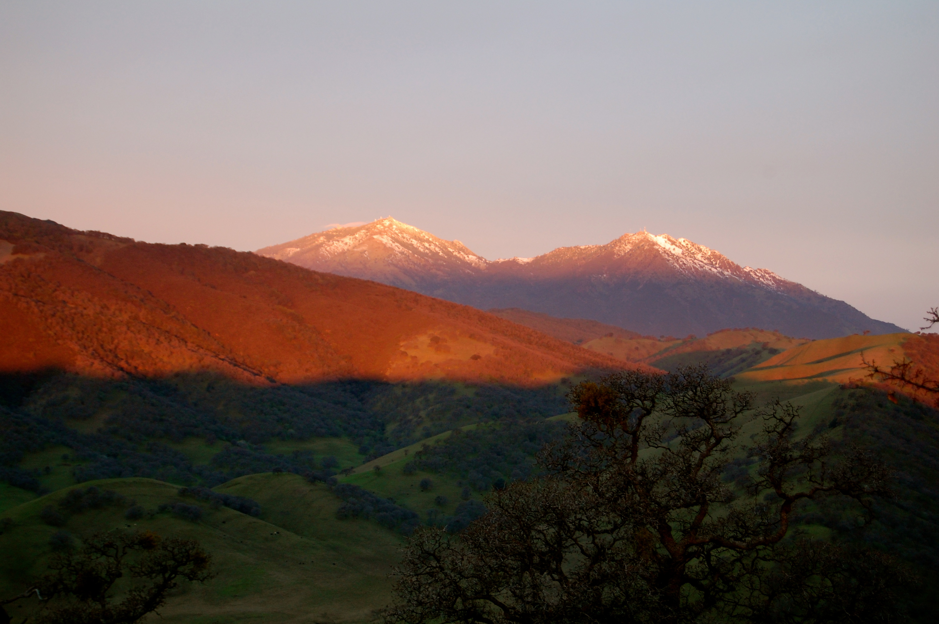
EBRPD - Round Valley Regional Preserve - First light on Diablo

Silent Scenes , Discovery Bay California
Deer Valley
20120325 011.jpg
Topographic Map of Byron, CA, USA
Find elevation by address:

Places in Byron, CA, USA:
Places near Byron, CA, USA:
15645 Byron Hwy
3501 Byer Rd
2265 Newport Ct
Hampshire Drive
Pinehurst Court
2414 Pinehurst Ct
2223 Pinehurst Ct
2217 Prestwick Dr
Discovery Bay
5661 Oakmont Ct
5662 Oakmont Ct
New Melones Circle
E Hwy 4, Discovery Bay, CA, USA
Clifton Court Forebay
7000 Orwood Rd
Orwood Rd, Knightsen, CA, USA
Stockton, CA, USA
S Natali Rd, Stockton, CA, USA
1654 Mulholland Dr
18131 Courtwright Ct
Recent Searches:
- Elevation of Corso Fratelli Cairoli, 35, Macerata MC, Italy
- Elevation of Tallevast Rd, Sarasota, FL, USA
- Elevation of 4th St E, Sonoma, CA, USA
- Elevation of Black Hollow Rd, Pennsdale, PA, USA
- Elevation of Oakland Ave, Williamsport, PA, USA
- Elevation of Pedrógão Grande, Portugal
- Elevation of Klee Dr, Martinsburg, WV, USA
- Elevation of Via Roma, Pieranica CR, Italy
- Elevation of Tavkvetili Mountain, Georgia
- Elevation of Hartfords Bluff Cir, Mt Pleasant, SC, USA