Elevation of Byron Hwy, Byron, CA, USA

Location: United States > California > Contra Costa County > Byron >

Longitude: -121.62888

Latitude: 37.858799

Elevation: 8m / 26feet

Barometric Pressure: 101KPa

Elevation Map:

elevation map of Byron Hwy, Byron, CA, USA

Satellite Map:

Satellite map of Byron Hwy, Byron, CA, USA

Related Photos:

california californiazephyr nilescanyon fromthetrain epsonv500 geotagged
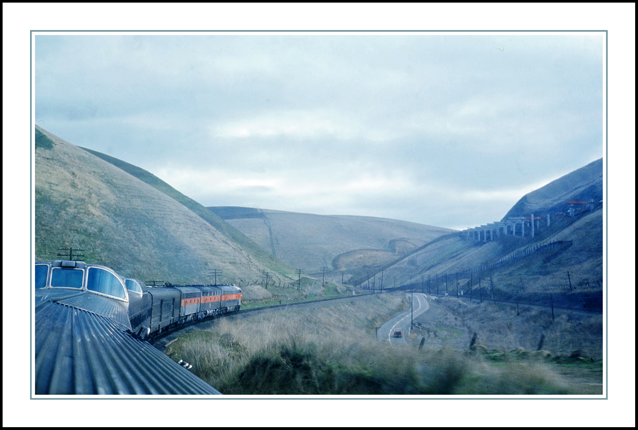
Altamont Pass from the California Zephyr - 1968
california ca abandoned graffiti decay urbanexploration eastbay byron ue urbex byronhotsprings
room with a view
california morning usa fog clouds canon landscape hiking trails windmills hills bayarea eastbay livermore alamedacounty windturbines ebrpd eastbayregionalparkdistrict brushypeak tamron1750 40d ebparks canon40d ilikethenight marccrumpler ebparksok
big cloud-brushy peak
truck chevy chevrolet 1954 50s 1955 54 55 outdoor rust rusty old antique abandoned derelict farm rural brentwood california 645 645z mikeoria photography f56 dfa35 35mm
'54 Chevy Truck
byron byronhotsprings california contracostacounty dmumeetup dmumeetup092609 dmumeetup09262009 eastbay usa unitedstates unitedstatesofamerica abandoned graffiti green hotel lightpainting night fav10 10 superfave fav25 save save2 save3 save4 save5 save6 save7 save8 save10 savedbythedeletemeuncensoredgroup gettyartistpicksoct09 fav20 fav30 fav40 fav50 fav60 fav70 fav80 fav90 fav100 america
Saturday Night Live
california mountdiablo mtdiablo diablo mount mountain snow brentwood briones antioch clayton grass pentax mikeoria mikeoriaphotography
Mt. Diablo
california sky nature water clouds reflections landscape dock nikon bluesky reservoir watershed brentwood ida shum d300 vascoroad contracostacounty contracostawaterdistrict losvaquerosreservoir idashum
Reflections of Earth
6 green nature plus brentwood iphone hollingsworth roundvalley iphoneography iphone6 hipstamatic oggl iphone6plus
Round Valley
california road park trees sky usa green nature grass america creek forest landscape us oak mt branches meadow coastal valley round angry beast marsh diablo unusual lush oaks twisted grazing snarling snarl rang darvin atkeson regiona カリフォルニア州 darv 캘리포니아 美国加州 liquidmoonlightcom
The Snarling Beast of Round Valley - Round Valley Regional Park California
ranch bw horse white black sepia cow nikon cowboy carriage cattle action photoshopped ps rope demonstration aged brand branding vaquero d300 losvaqueros 70300mmvr goldstaraward
Old Times
california green ecology birds geotagged tv energy power alternativeenergy environment kqed pbs raptors turbines altamont sanjoaquinvalley birdstrike sanjoaquincounty kqedquest geo:lat=377270427618921 geo:lon=121644161132011 enxco kqedsmc
California's largest wind farm, Altamont pass
california sky weather clouds skyscape spring skies atmosphere thunderstorm skyscapes westcoast mothernature meteorology thunderstorms severeweather greatoutdoors march2013 spring2013
Fully Grown, Healthy Thunderstorm Cell, Looks Like A Severe Cell, Over Tracy, CA!! (3-31-13) Photo #1
california barn truck landscape nikon cattle farm hill fences pastoral livermore hdr tarp d300
Race Against Time
california green ecology birds geotagged tv energy power alternativeenergy environment kqed pbs raptors turbines altamont sanjoaquinvalley birdstrike sanjoaquincounty kqedquest geo:lat=377388413088189 geo:lon=121616501143426 enxco
Burrowing Owl
california green ecology birds geotagged tv energy power alternativeenergy environment kqed pbs raptors turbines altamont sanjoaquinvalley birdstrike sanjoaquincounty kqedquest geo:lat=377274471901688 geo:lon=121649590134985 enxco
Old School
california green ecology birds geotagged tv energy power alternativeenergy environment kqed pbs raptors turbines altamont sanjoaquinvalley birdstrike sanjoaquincounty kqedquest geo:lat=377388413088189 geo:lon=121616501143426 enxco
Bundle of Energy
california county ca sunset sky orange usa mountain clouds fence landscape pentax cloudy outdoor valley diablo mtdiablo brentwood a75 trilogy deervalley fencepost mountdiablo 75mm contracosta mikeoria 645z
Diablo Sky Burn
california road ca usa june train tracy noflash freeway commute interstate livermore trucking 2012 iphone eastbound 580 daveparker iphone365 hipstamatic jamesmlens rockbw11film
Interstate 580, eastbound down
california flowers flower macro nature field fruit strawberry nikon farmers farm farming strawberries fields farmer pick agriculture brentwood ida picking shum agricultural d300 picker strawberryfarm idashum
Strawberry Fields Forever
california green ecology birds geotagged tv energy power alternativeenergy environment kqed pbs raptors turbines altamont sanjoaquinvalley birdstrike sanjoaquincounty kqedquest geo:lat=377388413088189 geo:lon=121616501143426 enxco
What's The Beef?
california park county trees costa nature night way stars landscape bay nacht east hills valley round brentwood milky antioch contra regional nocturnes
The Milky Way over Round Valley
texture windmill silhouette landscape feb 2015
Windmills at Altamont
fog night moonlight windfarm windpower geminids nightlandscape windturbines robertmilton 5dmk3
charles brush's turbines
brentwood california contracosta county mount mountain mountdiablo diablo mtdiablo sunset sunrise sun field crop vineyard grapes shadow layers gold peak pentax pentax645z 645 645z fa150 150mm
The Harvest
passenger ge intercity p42dc generalelectric superliner baggage viewliner locomotive
AMTK 43 East
johnmarsh house stone eastbay statepark regional creek marsh marshcreek landscape brentwood contracosta california county mikeoria pentax dfa55 55mm oria mike 645 645z
Breaking Storm at Marsh House
street beauty yard landscape oakland bush afro style neighborhood attitude americana shrub trim hairstyle fro stubble goodhairday bushy 5oclockshadow closecut uploaded:by=flickrmobile flickriosapp:filter=nofilter
The Buzz Cut
intermodal freight emd ge sd70ace doublestack electromotive
UP 8358 East
california brentwood landscape losvaquerosreservoir fineartphotography hollingsworth shotoniphone
Who knew you could find this in Brentwood.
california county pink sunset red sky grass rural 35mm landscape 645 outdoor hills brentwood epic antioch oakley trilogy mountdiablo marshcreek a35 contracosta 645d mtmordor mikeoriapentax
Into Mordor
california johnmarsh marsh regionalpark contracosta county brentwood antioch rancho meganos outdoor landscape night longexposure starstarsstartrails astro astrophotography sky galaxy constellation dark circle polaris north tree pentax 645z a35 dfa35 mikeoria marshcreek marshcreekstatepark mcsp statepark park marshamarshamarsha
Star Trails Over Marsh Home
california county summer costa storm weather night clouds squall stars landscape bay corn lightning northern byron discovery contra stalks fiels virga
Lightning and Cornstalks in California
4cornersphoto agriculture barn california centralvalley clouds farm landscape nature northamerica outdoor rain rural sanjoaquincounty sanjoaquinvalley scenery sky thunderstorm tree unionisland unitedstates weather winter stockton unitedstatesofamerica
Winter Thunderstorm and Farm, San Joaquin County, CA
4cornersphoto byron california clouds contracostacounty diablorange grass hill landscape mountains nature northamerica outdoor rain rural scenery shadow sky storm thunderstorm tree unitedstates weather winter unitedstatesofamerica
Storm Clouds and Tree, Byron, CA
dogwood2017 dogwood52 dogwoodweek3
Dogwood2017 - Week 3 Artistic Landscape
4cornersphoto agriculture autumn centralvalley clouds crop fall farm field landscape nature northamerica outdoor plow rural sanjoaquincounty sanjoaquinvalley scenery shadow sky storm tree unionisland unitedstates weather stockton california unitedstatesofamerica
Clouds and Shadows, San Joaquin County, CA
california morning canon photography outdoor marathon run brendan 6d losvaqueros cleak
In Peace
ebparksok
Morgan Territory Regional Preserve
california trees usa nature 05 may hills explore livermore 2008 biology roundvalleyregionalpark
It is always worth it
ebparksok
Morgan Territory Regional Preserve
california sky color tree rain weather clouds barn rural landscape us spring scenery unitedstates farm crop vegetation northamerica agriculture stockton centralvalley alfalfa sanjoaquinvalley sanjoaquincounty unionisland 4cornersphoto
Spring Storm and Barn, San Joaquin County, CA