Elevation of New Haven, KY, USA

Location: United States > Kentucky >

Longitude: -85.591072

Latitude: 37.6578396

Elevation: 146m / 479feet

Barometric Pressure: 100KPa

Elevation Map:

elevation map of New Haven, KY, USA

Satellite Map:

Satellite map of New Haven, KY, USA

Related Photos:

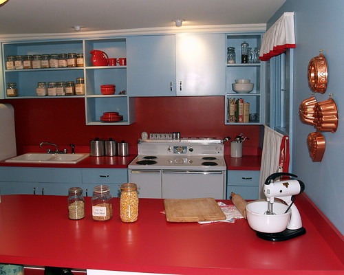
kitchen 1950s
grandma's kitchen
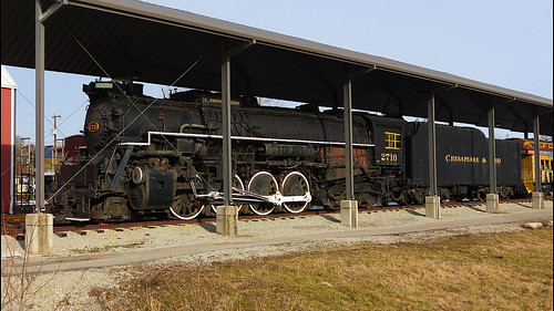
camera railroad travel ohio black color history tourism metal museum digital america train canon photography photo big flickr technology display kentucky events documentary machine saturday railway landmark science class powershot steam adventure southern national transportation co type locomotive berkshire powerful chesapeake hdr geographic cliche hs k4 alco kanawha 284 2716 sx40 flickrelite 844steamtrain
Chesapeake & Ohio 2716 Steam Locomotive
ikea photography interiordesign 1855mmf3556
Ikea. (05.03.2007)
kentucky marioncounty shadetreemechanic
Shade Tree Mechanic
844steamtrain co chesapeake ohio 2716 284 k4 kanawha berkshire big steam locomotive engine train railroad railway black white photo transportation travel tourism adventure events flickr flickrelite metal machine landmark science technology history canon powershot sx40 hs digital video camera restoration museum cliche saturday hdr alco america most popular views viewed favorited favorite
Chesapeake and Ohio 2716 Black and White
kentucky ky monks gethsemani gethsemanimonastery
Gethsemani Monastery, Trappist, KY
kentucky abraham lincoln hodgenville
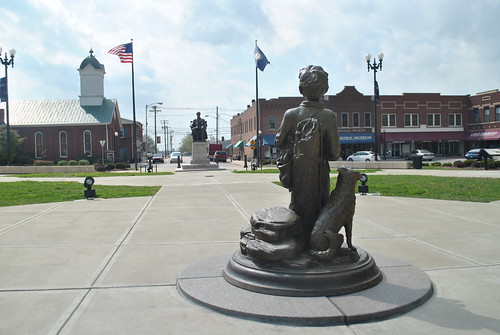
The Development of Abraham Lincoln
auto show park cruise classic car creek truck square drive nikon kentucky ky front lincoln 70300mm tamron d80 hodgenville detaling creekfront
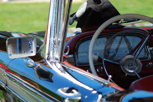
The Inside View
clouds rural farm kentucky oncewashome
Ginseng, KY Farm
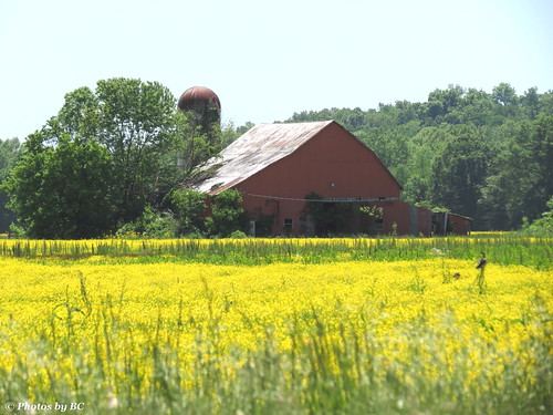
Yellow Fields.
kentucky countryroad fram laruecounty
Country Road, LaRue County, KY
bw farmhouse farm kentucky laruecounty
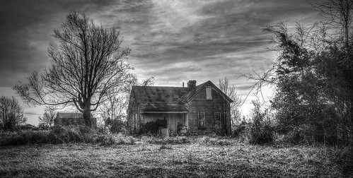
LaRue County, KY Farm House
morning field barn sunrise farm kentucky silo hardincounty
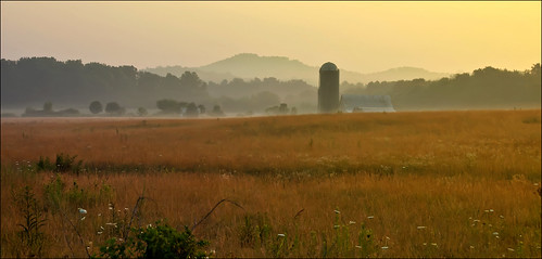
Morning Mist
fall colors farm
Old Farmstead, LaRue County, KY
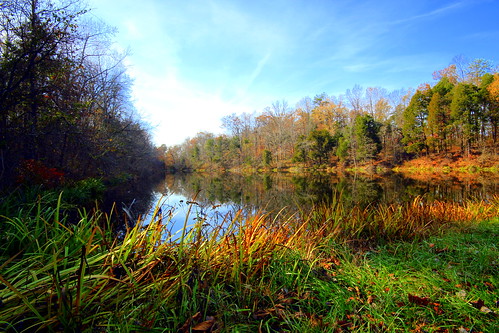
Gethsemani Guesthouse Pond
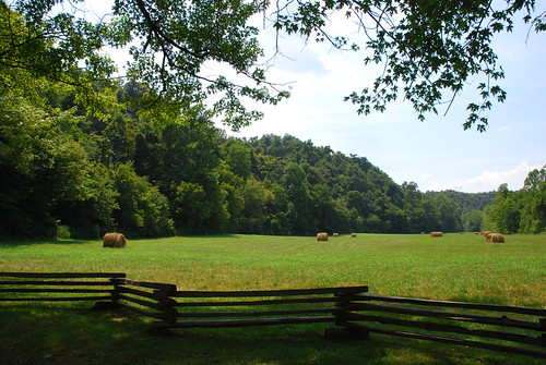
leica fall farm americana hay haybales ruralamerica
Round Bales, LaRue County, KY
Ginseng, KY Farm
sky field grass canon chair kentucky ky 14 trappist hilltop bower spaces wideopen thomasmerton abbeyofgethsemani samyang nelsoncounty rokinon canoneos450d canonrebelxsi rokinon35mmf14
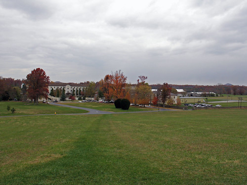
Gethsemani Scene
square squareformat iphoneography instagramapp uploaded:by=instagram foursquare:venue=4bba1dcc98c7ef3b3bb73202
At the Abbey.
rural farm kentucky rustic laruecounty
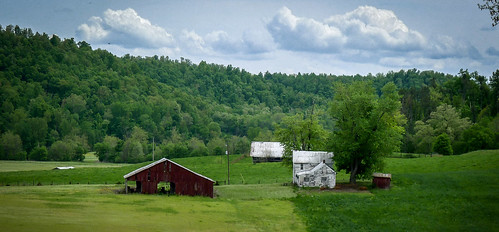
LaRue County, KY Farm
field landscape photography blackwhite corn country gravel emulation sonynex5n summer2013
The road goes ever on.
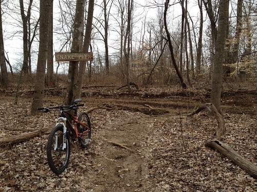
mtb youngerscreek
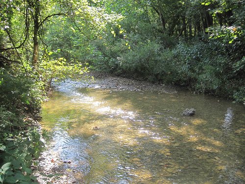
Younger's Creek, KY
kentucky nationalparkservice abrahamlincoln knobcreek hodgenville knobcreekfarm abrahamlincolnbirthplacenationalhistoricalpark
Abraham Lincoln Birthplace National Historical Park - Knob Creek Farm - Knob Creek
vacation abbey holidays raw kentucky bardstown gethsemani
Grace's House, Formerly The Solar House
kentucky hodgenville abrahamlincolnboyhoodhome mtts2012
Abe Lincoln Boyhood Home
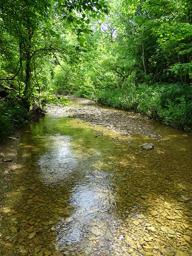
creek forest kentucky ky naturepreserve vernondouglas
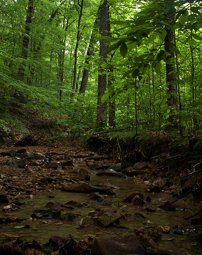
Hall Hollow
clouds 1855mmf3556
Cloudy.
blue trees sky forest kentucky damage damaged loretto makersmarkdistillery
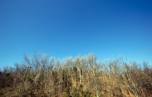
Ice Storm Survivors
usa unitedstates kentucky hodgenville laruecounty abrahamlincolnbirthplacenationalhistoricalpark
Abraham Lincoln Birthplace National Historical Park