Elevation of Center, New Haven, KY, USA
Location: United States > Kentucky > New Haven >
Longitude: -85.576366
Latitude: 37.6523668
Elevation: 159m / 522feet
Barometric Pressure: 99KPa
Elevation Map:
Satellite Map:
Related Photos:

grandma's kitchen
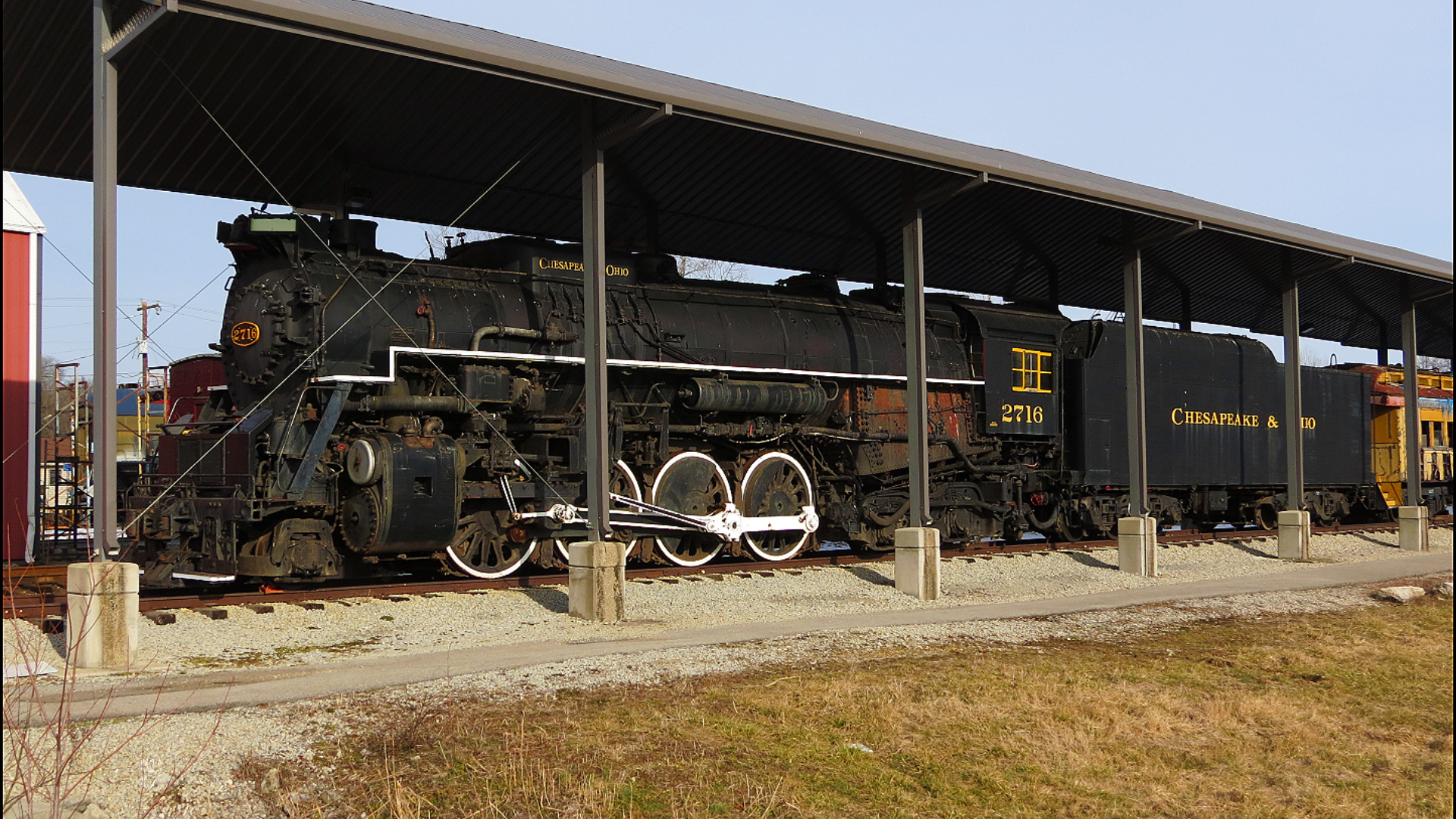
Chesapeake & Ohio 2716 Steam Locomotive
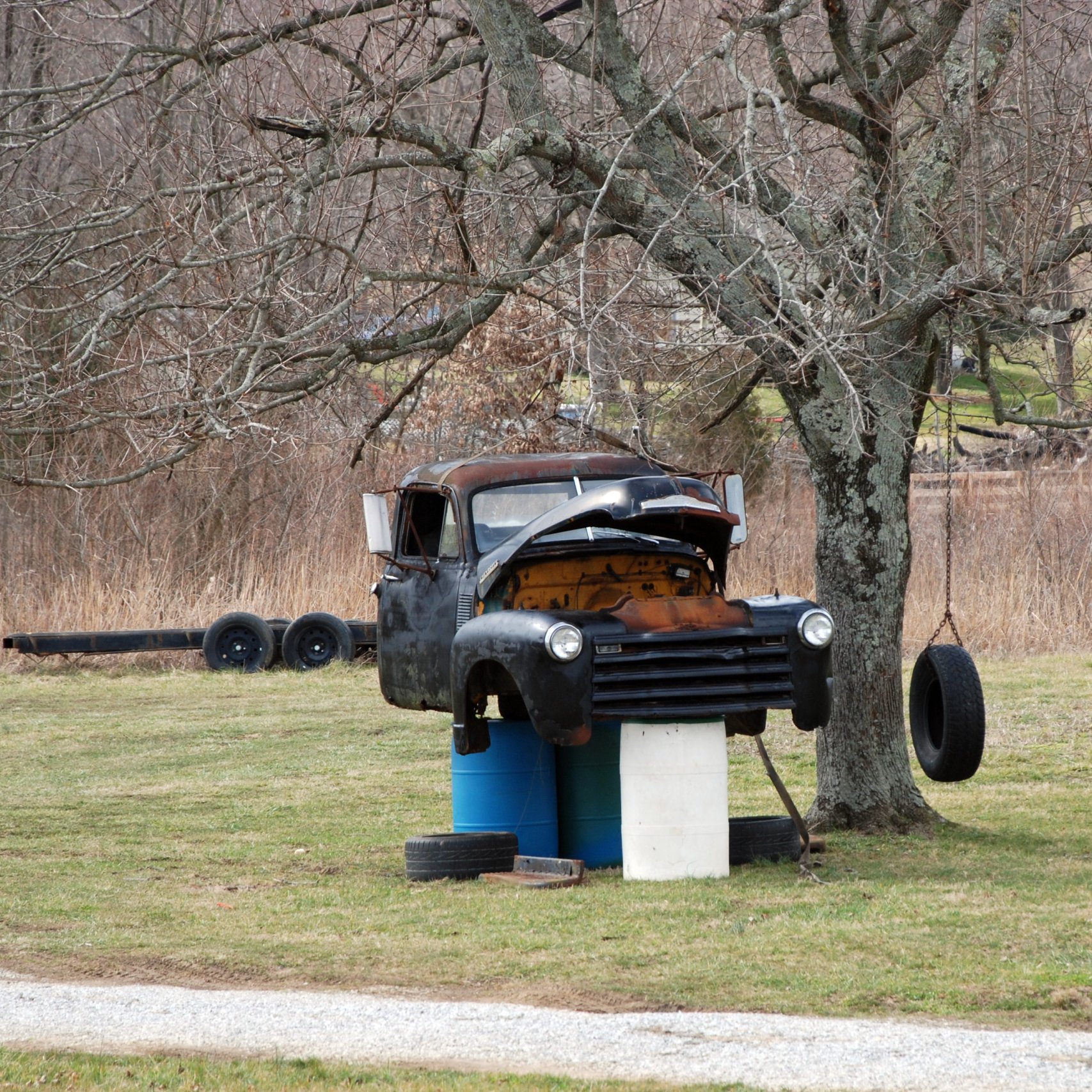
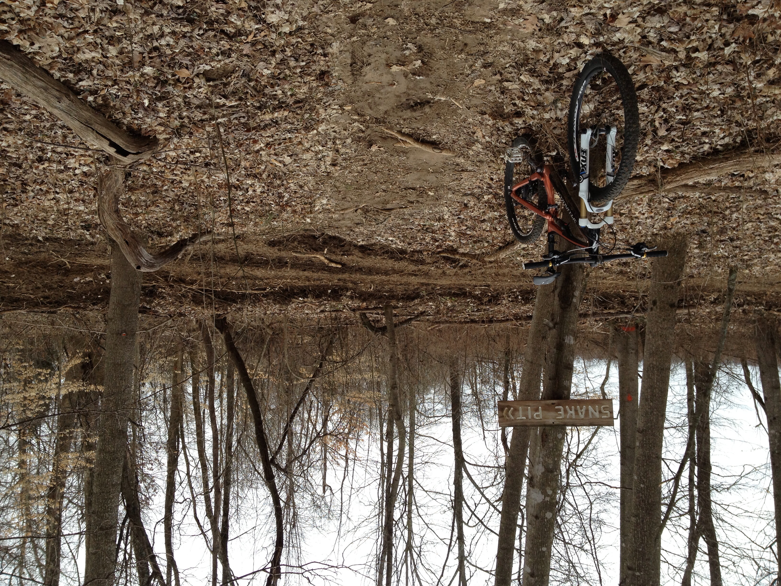
Shade Tree Mechanic
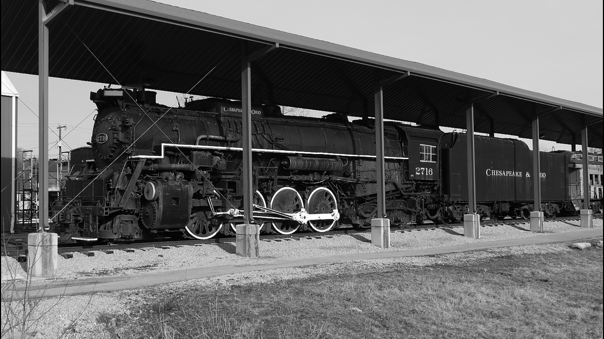
Chesapeake and Ohio 2716 Black and White

Ikea. (05.03.2007)
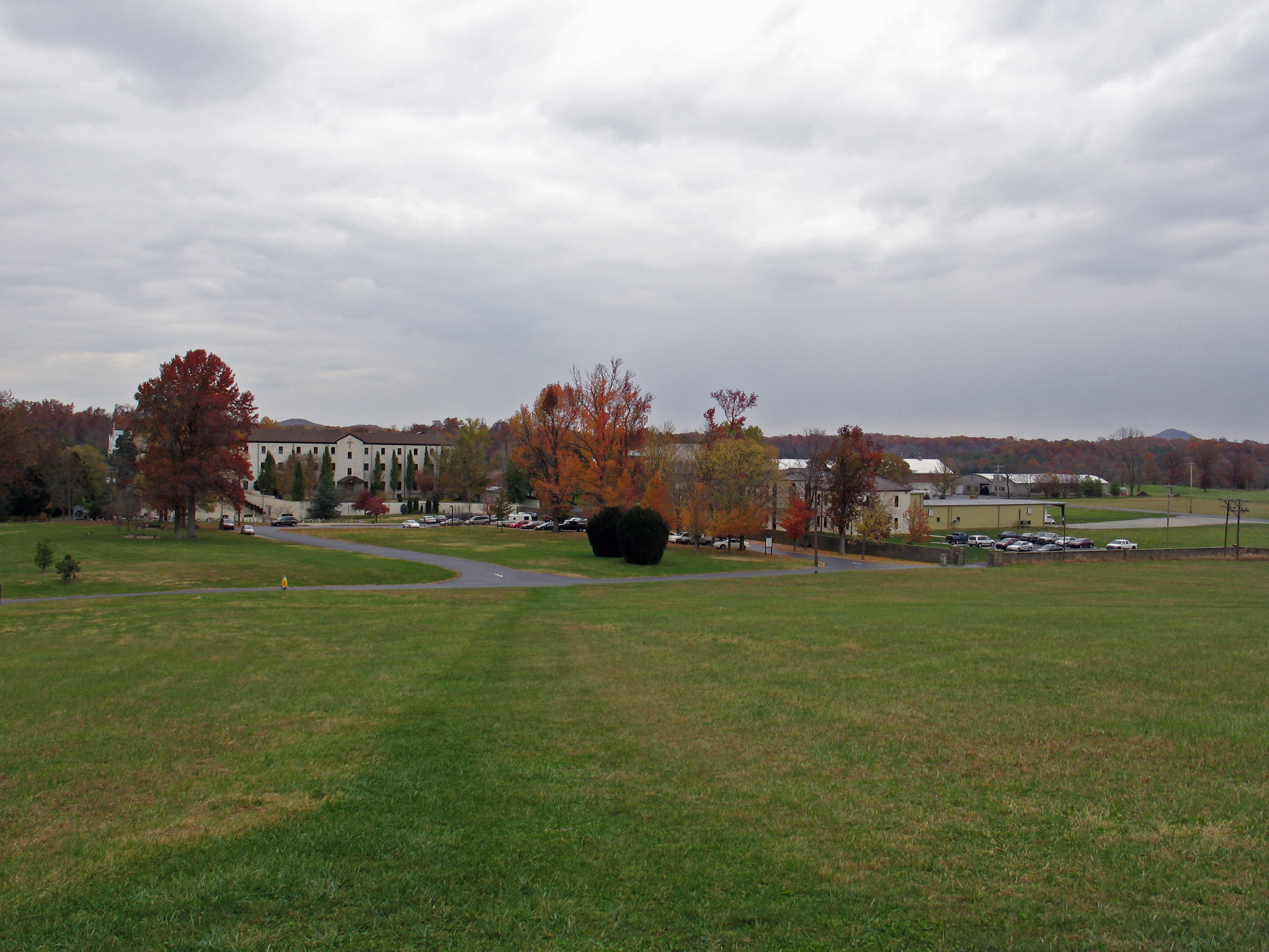
Gethsemani Monastery, Trappist, KY
Ginseng, KY Farm
The Approach to Grace's House

Ginseng, KY Farm
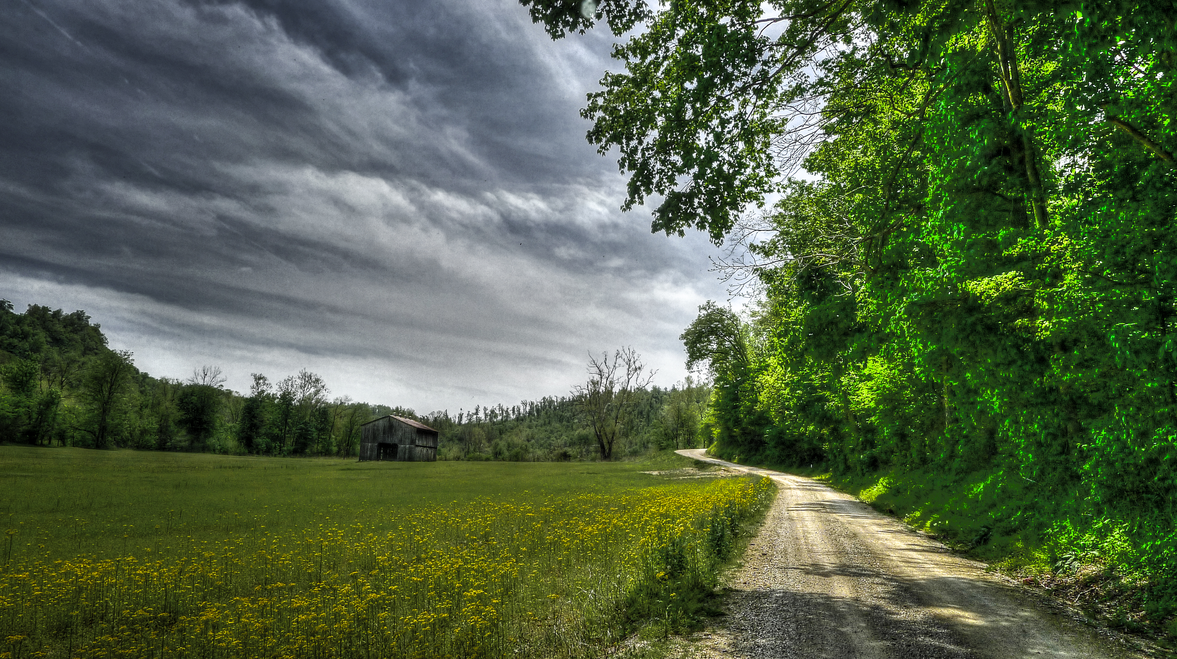
Yellow Fields.

Country Road, LaRue County, KY

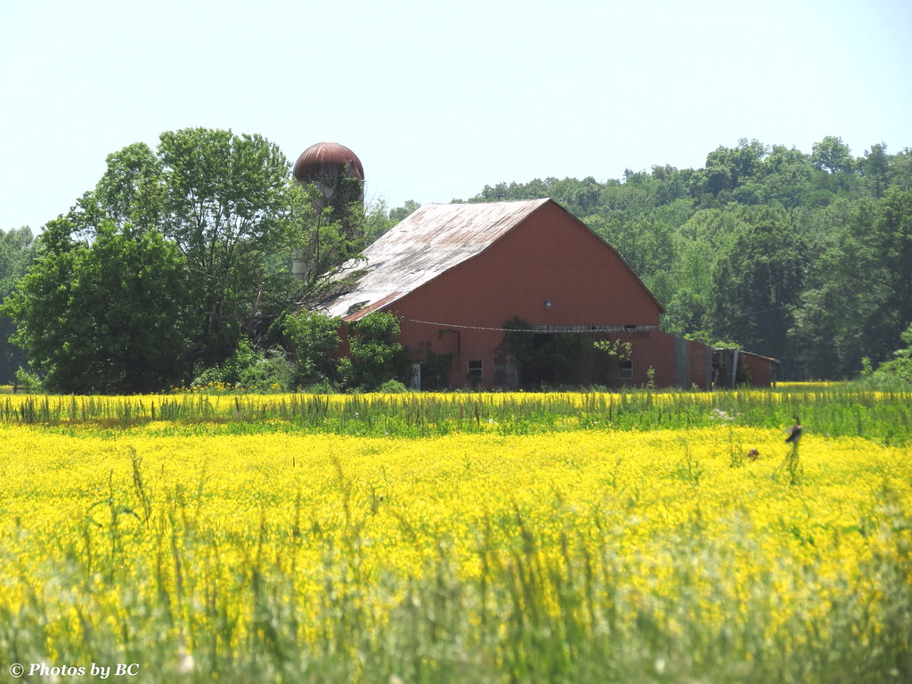
Tobacco Barn, LaRue County, KY

LaRue County, KY Farm House

Morning Mist

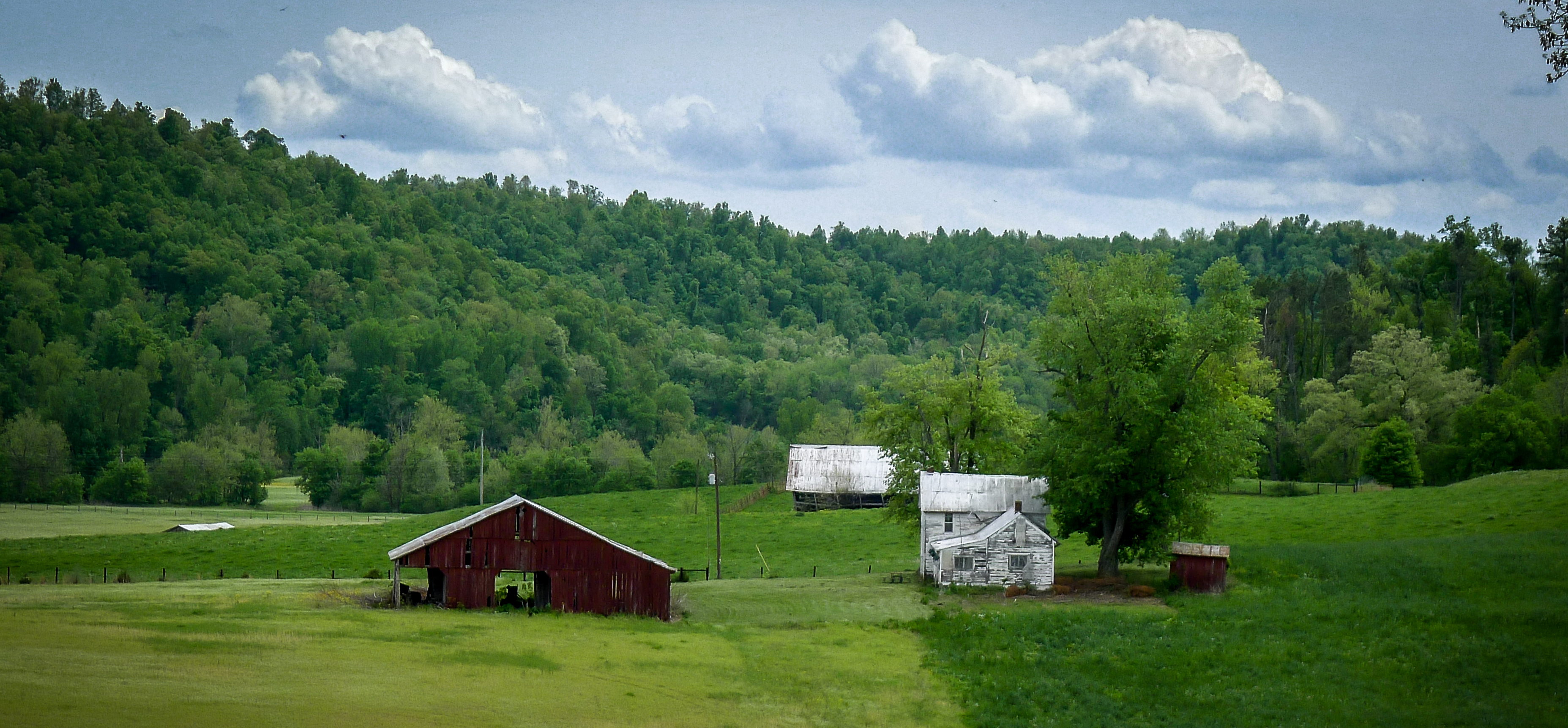
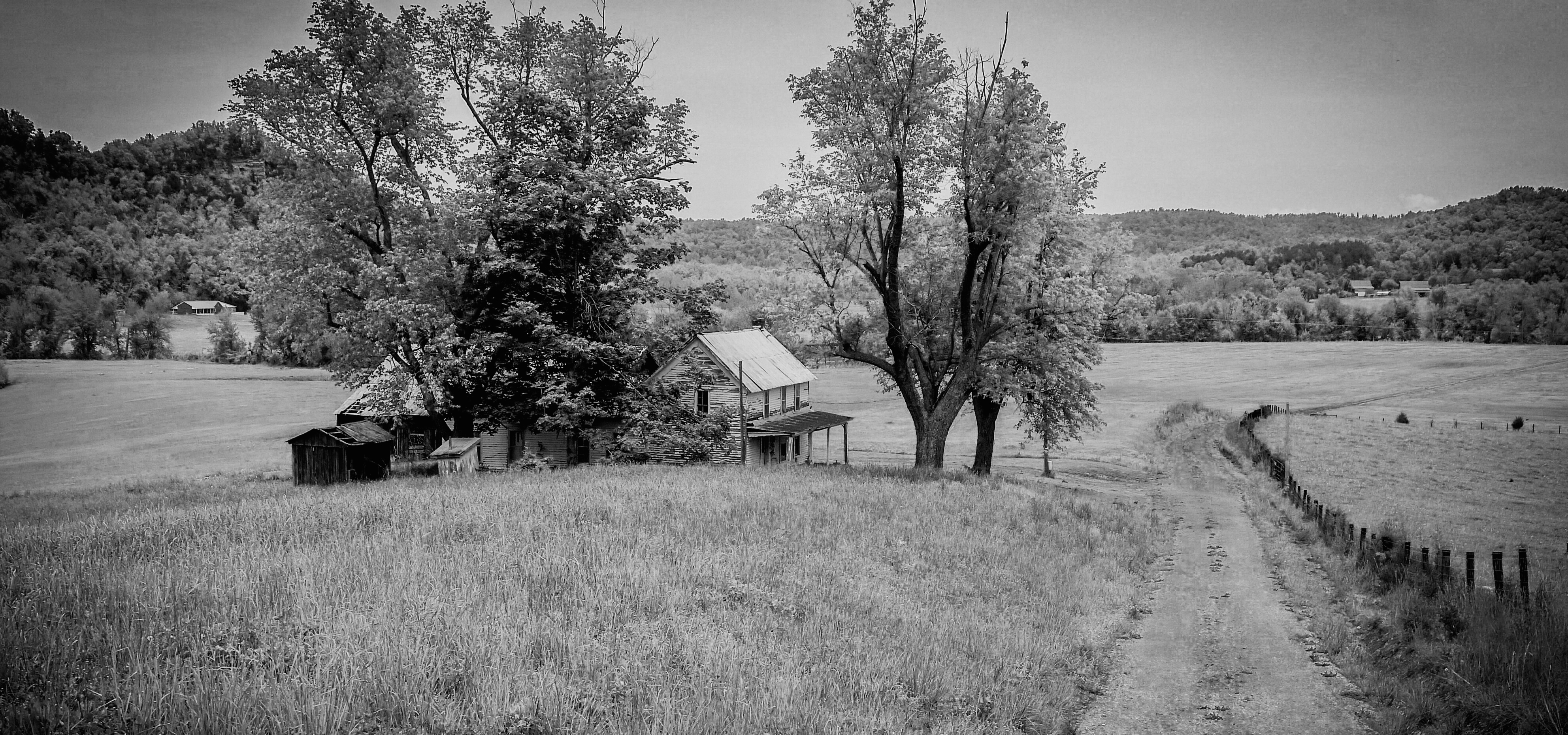
Old Farmstead, LaRue County, KY
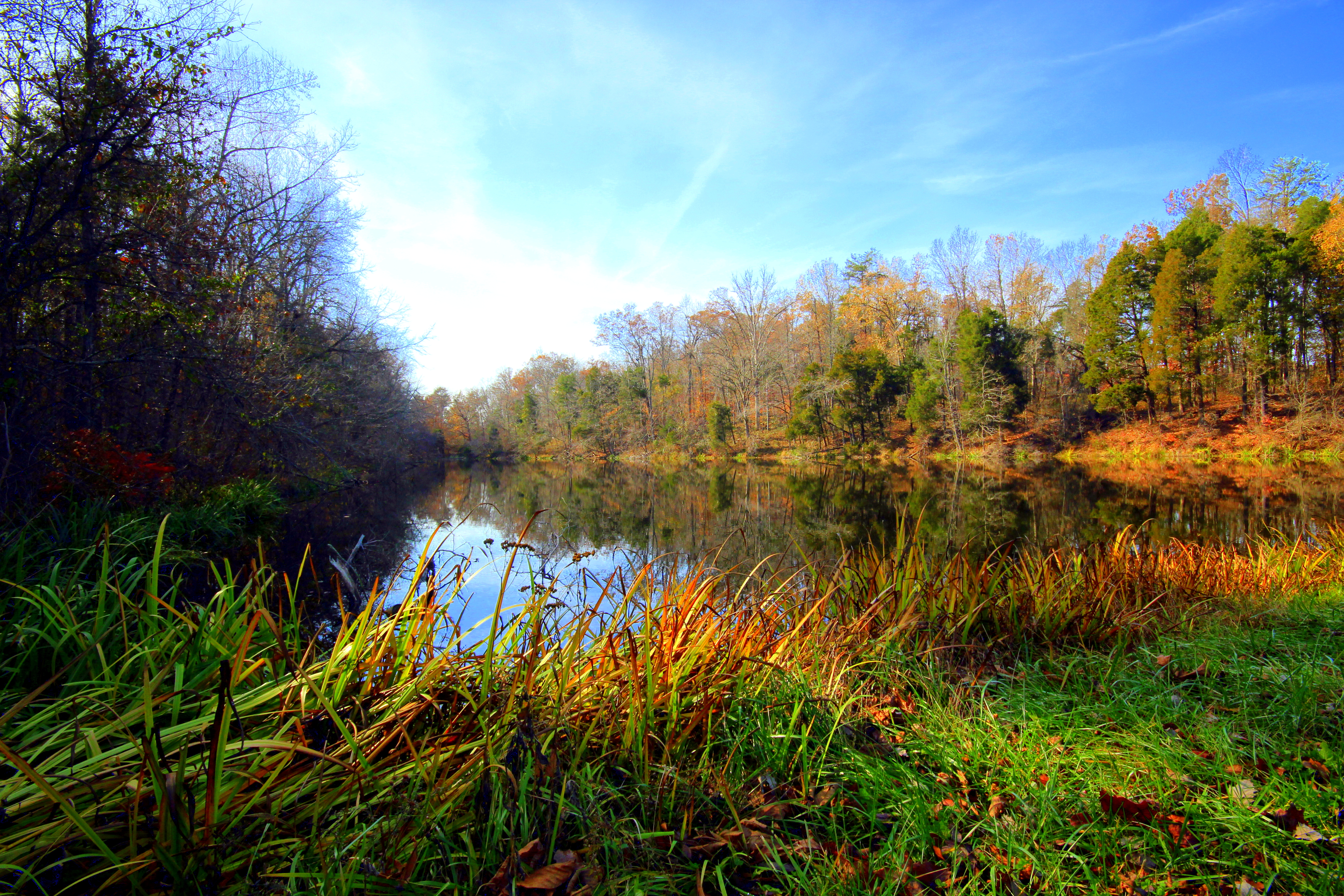
Gethsemani Guesthouse Pond

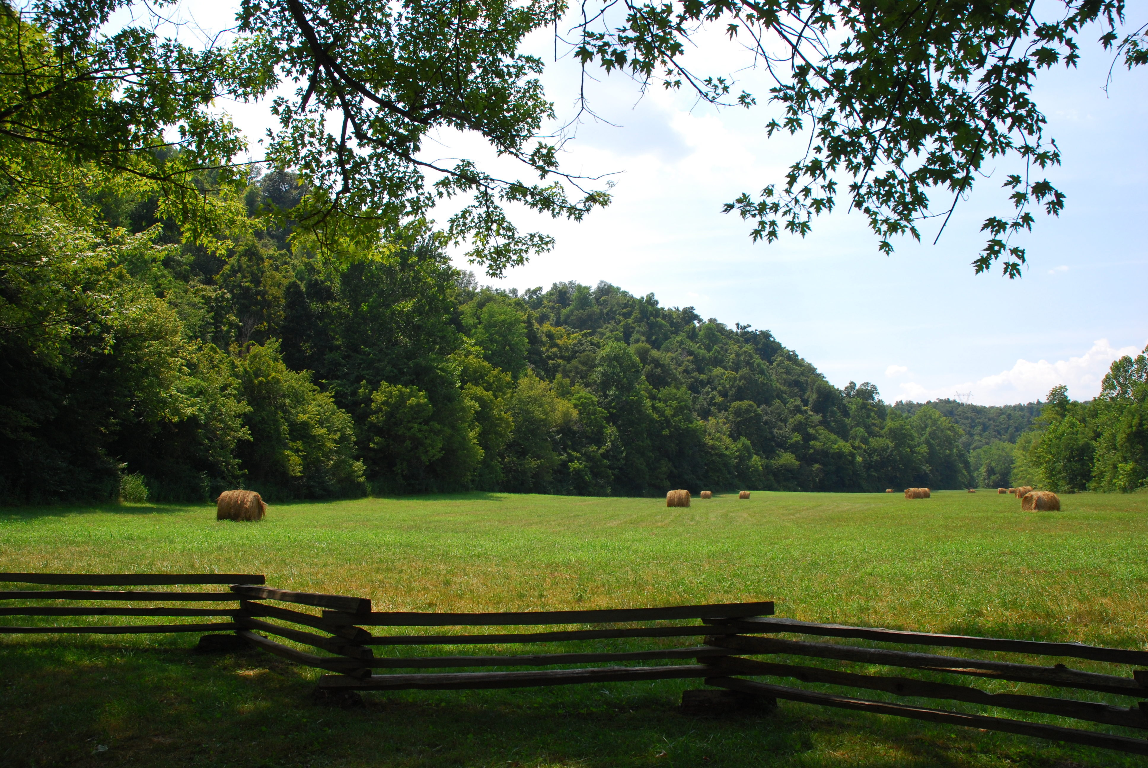
Round Bales, LaRue County, KY
Tobacco Barn, LaRue County, KY
Gethsemani Scene
At the Abbey.
LaRue County, KY Farm

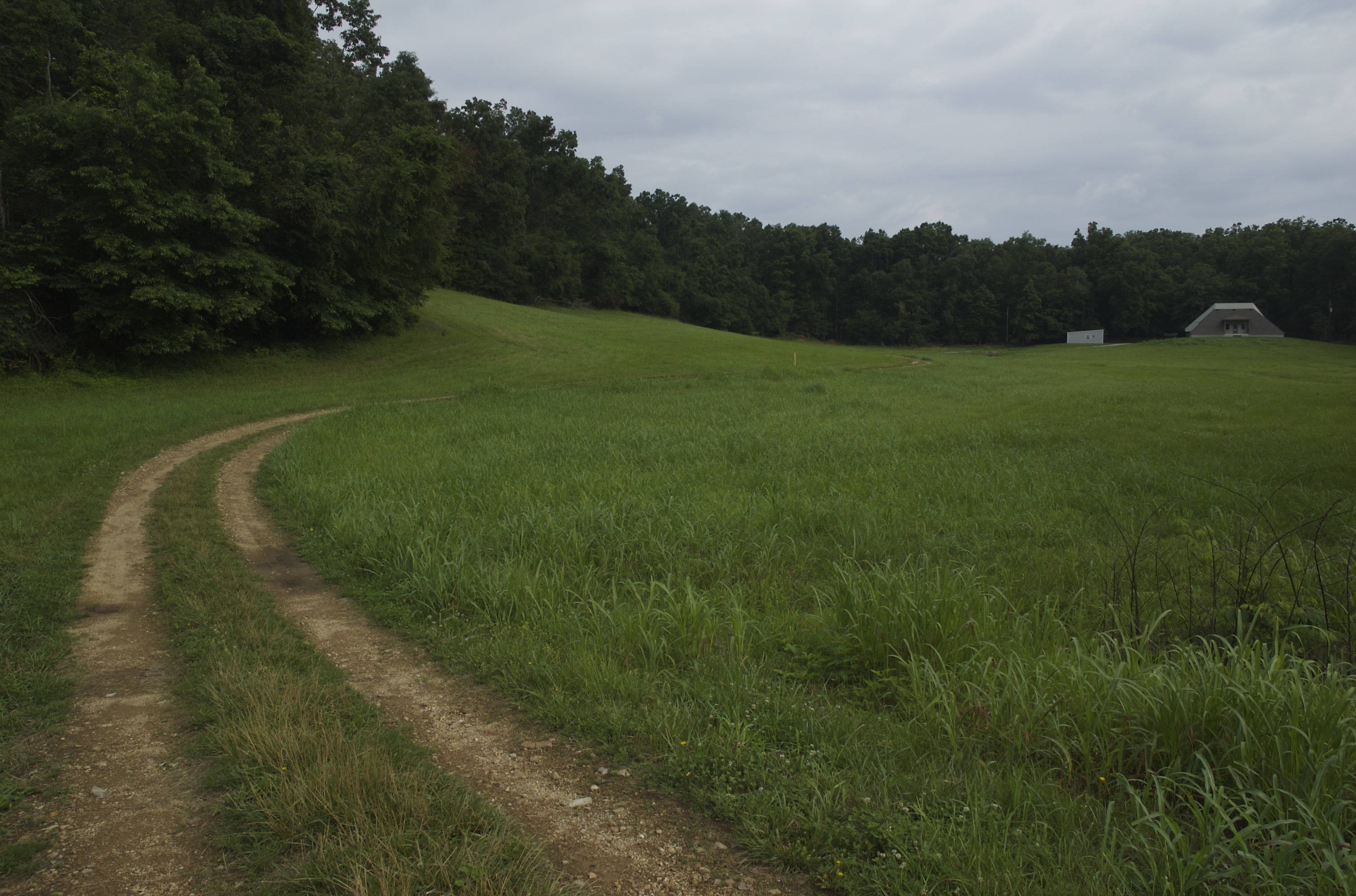
The road goes ever on.
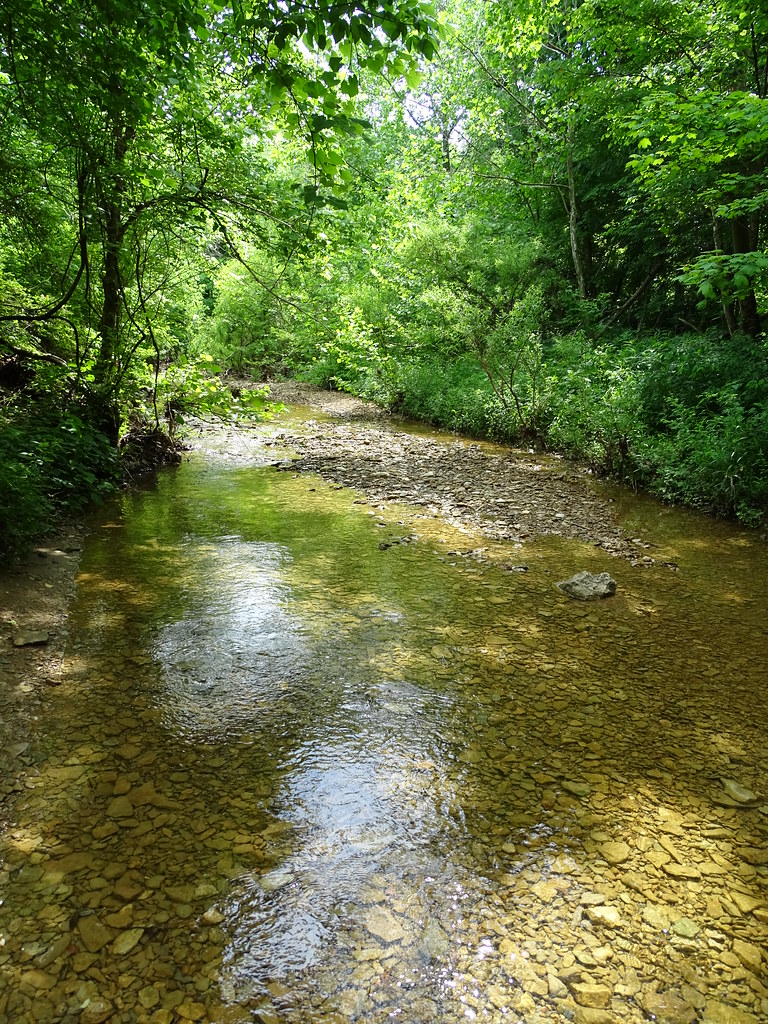
Younger's Creek, KY
Abraham Lincoln Birthplace National Historical Park - Knob Creek Farm - Knob Creek
Grace's House, Formerly The Solar House
Abe Lincoln Boyhood Home
Topographic Map of Center, New Haven, KY, USA
Find elevation by address:

Places near Center, New Haven, KY, USA:
855 New Hope Rd
New Haven
Bardstown Rd, Hodgenville, KY, USA
New Haven, KY, USA
298 J T Riggs Rd
Cecil Ridge Road
Melody Lake Ranch Club
Dan Dunn Rd, Hodgenville, KY, USA
Nelson County
4835 Holy Cross Rd
4835 Holy Cross Rd
6215 Boston Rd
White City
Boston
Old Boston Rd, Boston, KY, USA
974 Youngers Creek Rd
215 Phillips Ln
Loretto
Hodgenville
105 Polley Ave
Recent Searches:
- Elevation of Corso Fratelli Cairoli, 35, Macerata MC, Italy
- Elevation of Tallevast Rd, Sarasota, FL, USA
- Elevation of 4th St E, Sonoma, CA, USA
- Elevation of Black Hollow Rd, Pennsdale, PA, USA
- Elevation of Oakland Ave, Williamsport, PA, USA
- Elevation of Pedrógão Grande, Portugal
- Elevation of Klee Dr, Martinsburg, WV, USA
- Elevation of Via Roma, Pieranica CR, Italy
- Elevation of Tavkvetili Mountain, Georgia
- Elevation of Hartfords Bluff Cir, Mt Pleasant, SC, USA