Elevation of New Hartford Rd, Owensboro, KY, USA

Location: United States > Kentucky > Daviess County > Owensboro >

Longitude: -87.100561

Latitude: 37.7515173

Elevation: 124m / 407feet

Barometric Pressure: 100KPa

Elevation Map:

elevation map of New Hartford Rd, Owensboro, KY, USA

Satellite Map:

Satellite map of New Hartford Rd, Owensboro, KY, USA

Related Photos:

bridge trees geotagged boat 5 kentucky transport indiana tugboat treeline onwhite soe picnik girders ohioriver bluehue barges onblack westernkentucky metalbridge blueblueblue blueribbonwinner otw ohiorivervalley 5faves kartpostal coalbarges owensborokentucky viewonblack shieldofexcellence commonwealthofkentucky ohiorivercity downtownowensboro flickraward zerofaves owensbororiverfront anythingtodowithwater betterthangood goldstaraward daviescountykentucky thebluegrassstate viewonwhite bluespointofview yourprefferedpicture jasonpresser olétusfotos jediphotographer dragondaggerphoto dragonflyawardsgroup geo:lat=37780213 geo:lon=87109351 jrmillerblvd jrmillerbridge bestofformyspacestation
Bridge Over the Ohio
county city storm kentucky ky bolt lightning tornado owensboro daviess therebeastormabrewin kentuckythunderstorms
lighting - my fav
view holidayinn boardwalkpipeline owensboroconventioncenter owensboro aerial 5ds dslr ohioriver riverparkcenter occ smotherspark 50mp pier bluebridge downtown kentucky usa hampton inn
Downtown Owensboro
railroad geotagged graffiti kentucky tag railway tags tagged railcar rails brakes boxcar graff graphiti boxcars railcars dif trainart westernkentucky paintedtrain railart muj owensborokentucky taggedtrain dixieironfist virginiazeke daviesscountykentucky newsongsandsilence geo:lat=37764269 geo:lon=87094374
New Songs And Silence
2016 20160103 daviesscounty daviesscountykentucky indiana january january2016 kentucky kentuckylandscape ohioriver ohioriverdolphin ohioriverdolphinstructure ohioriverlandscape owensboro owensboroconventioncenter owensborokentucky owensborolandscape spencercounty spencercountyindiana brownandblue brownandbluelandscape brownwater cloudlesssky concretedolphin concretedolphinstructure concreteriverdolphin concretestructure dolphin dolphinstructure downtown downtownowensboro landscape muddywater riverdolphin riverlandscape riverinelandscape roundconcretestructure rounddolphin roundstructure roundthing stateboundary stateline sunny thing turbidwater view westkentucky westernkentucky winterlandscape unitedstates
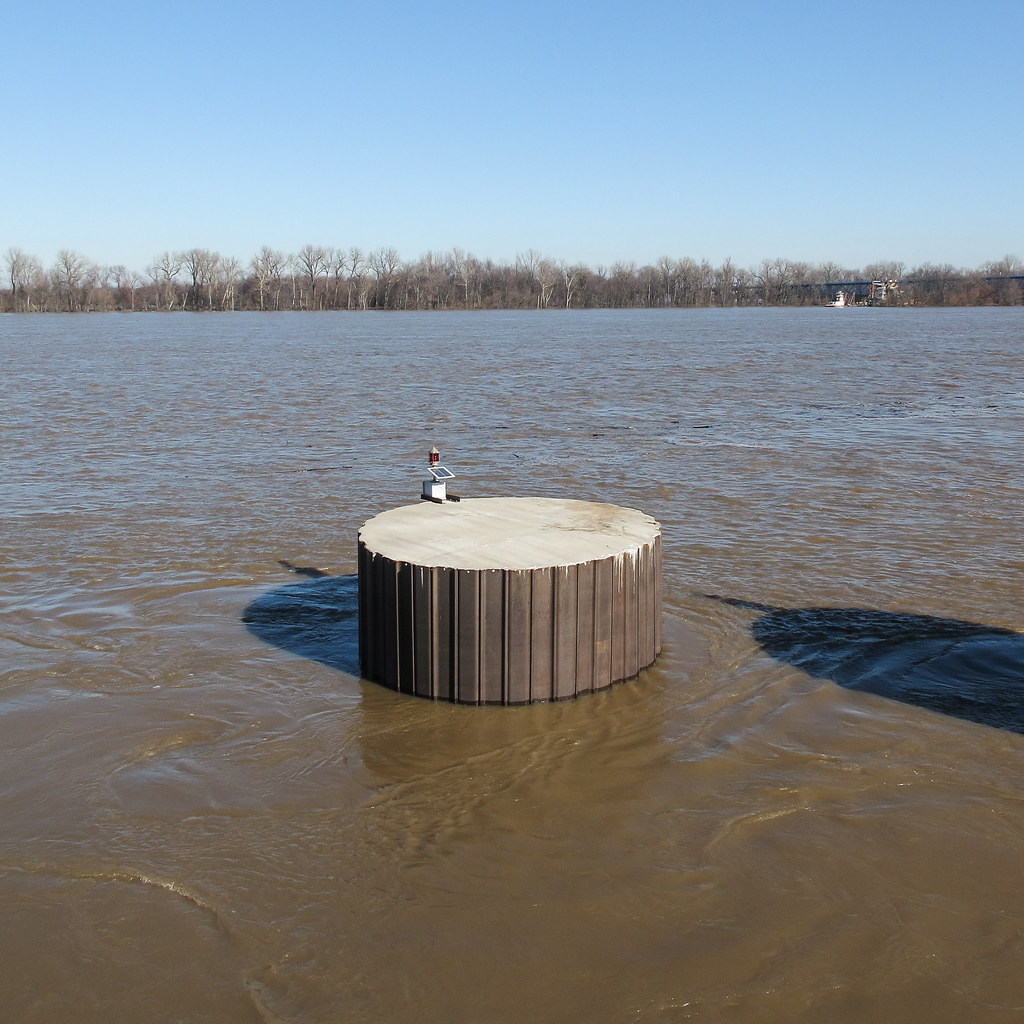
It's called a "dolphin," I'm told.
water waterfall day steps waterfeature owensboro smotherspark
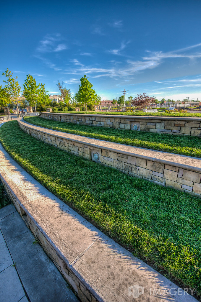
Smothers park - Water Feature
water waterfall day steps waterfeature owensboro smotherspark
Smothers Park - Water Feature
flowers orange sunlight flower green leaves yellow rural geotagged countryside petals shadows dof bokeh kentucky country farmland crop sunflowers sunflower westernkentucky openfield sunflowerfield natureworld sunflowerfarm flowerwatching top20green top20yellow naturewatching top20summer thebluegrassstate top20greenish daviesscountykentucky gemsofnature agriculturalarea tbfsgallery agricultralarea geo:lat=37766915 awesomeblossoms geo:lon=87216511 sorghokentucky
Sunflower in an Open Field
trees sunset summer sky sun clouds rural geotagged pod kentucky bluesky farmland summertime pow westernkentucky summersunset hendersoncountykentucky geo:lat=3782165 geo:lon=87259512 1on1sunrisesunsetsphotooftheweek 1on1sunrisesunsetsphotooftheweekaugust2007 jasonpresser corydonkentucky 11223344556677
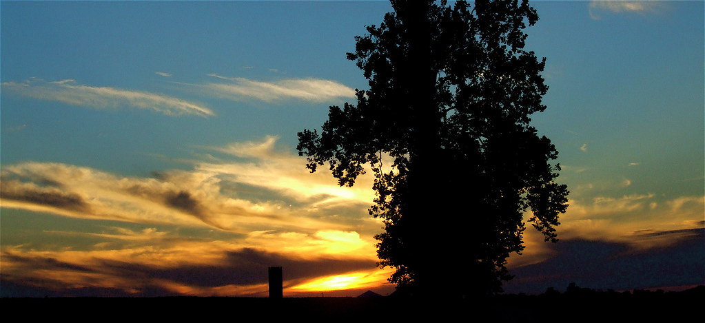
Brush Strokes And Silhouettes II
trees sunset summer sky sun clouds rural geotagged kentucky bluesky farmland summertime westernkentucky summersunset hendersoncountykentucky geo:lat=37778585 geo:lon=87201319 corydonkentucky
Kentucky Sky
church kentucky christian owensboro
Owensboro Christian Church entry view
bridge blue bw monochrome sepia gazebo telephoto ohioriver englishpark
English Park - Bridge View
trees sunset summer sky sun clouds rural geotagged kentucky bluesky farmland summertime westernkentucky summersunset hendersoncountykentucky geo:lat=37778585 geo:lon=87207756 corydonkentucky
A Painted Sunset
trees sunset summer sky sun clouds rural geotagged kentucky bluesky farmland summertime westernkentucky summersunset hendersoncountykentucky geo:lat=3779405 geo:lon=87228699 corydonkentucky
Brush Strokes And Silhouettes I
railroad geotagged graffiti stencil kentucky tag tracks railway tags tagged railcar rails sumo boxcar graff graphiti sws capped skol stamped gravel vois trainart str westernkentucky paintedtrain rbox railart railbox 37222 owensborokentucky r86 daviesscountykentucky geo:lat=37772258 taggedboxcar paintedboxcar paintedrailcar taggedrailcar geo:lon=8708431
...
robin canon nest chicks 60d canonef75300f456usm
Robin chicks
railroad overgrown logo geotagged graffiti weeds kentucky tag tracks railway motto tags tagged railcar rusted rails weathered spraypaint boxcar graff graphiti trainart westernkentucky paintedtrain railart spraypaintart reflectivetape southernservesthesouth owensborokentucky retribalize dmak wafflecar daviesscountykentucky taggedboxcar paintedboxcar doctorscrew paintedrailcar taggedrailcar southernboxcar geo:lon=87092636 geo:lat=3776873
?
kentucky ohioriver owensboro smotherspark sunset downtown lazydayz wall
Smothers Park Sunset with River View
railroad nova geotagged graffiti streak tag indiana railway tags tagged railcar stickfigure boxcar graff graphiti dif trainart railart moniker dixieironfist evansvilleindiana geo:lat=37771563 notforsaleanymore geo:lon=87084417
Not For Sale Anymore
school college view middle
Katie inducted into National Junior Honor Society.
square squareformat iphoneography instagramapp uploaded:by=instagram foursquare:venue=4c92960afc9a224b045bf3f1
The view from the truck this morning. Good morning! #Kentucky #Sunrise
sunset lake clouds landscape pond kentucky ky aerial golfcourse summit owensboro p3p pearlclub daviessco
Aerial - Golf Course Sunset
sunset usa downtown waterfront kentucky riverfront ohioriver owensboro bluebridge glovercary
Ohio River Sunset
history night landscape store downtown ray parkinggarage historic department owensboro lyddane mcatees
McAtee's at Night
square lofi squareformat iphoneography instagramapp uploaded:by=instagram
Where I'm from. It looks like this sometimes, and … yeah. It's nice to be home. "The Sun, the Sun's is goin down— The Ohio River's turnin' 'round…" #owensboro
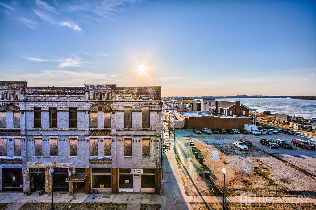
ohio river hotel inn downtown kentucky ky center historic convention historical riverfront hampton remodel owensboro revitalization cupcakery
Downtown - Mar 2011
square lofi squareformat iphoneography instagramapp uploaded:by=instagram
The Ohio River rolls on. #dchs84
sunset club golf landscape greens summit owensboro omu pearlclub
Summit Sunset
sky expo steps center e bige rivermont executiveinn smotherspark friverfront
Smothers Park
development commons cinema theater malco owensboro aerial hwy54 gateway construction kentucky usa
Malco and Stores
winter lake clouds landscape frozen pond kentucky ky owensboro thesummit daviesscounty thepearlclub
Frozen Lake 2
grass golf landscape kentucky ky bluesky course hills valley summit owensboro
Summit Golf Course
panorama lake water pond pano kingfisher maceo carpenterslake
KIngfisher Lake Panorama
sunset lake reflection landscape pond owensboro veach
Sunset - Veach Rd
wimsatt building corner construction aerial hwy54 bypass carwash kentucky usa
Construction on Wimsatt Ct
park bridge sunset sky night clouds river ohioriver smothers smotherspark
Ohio River Sunset
usa river unitedstates kentucky southern ohioriver owensboro towboat towboats glovercarybridge
87l040: Southern upbound at Glover Cary Bridge
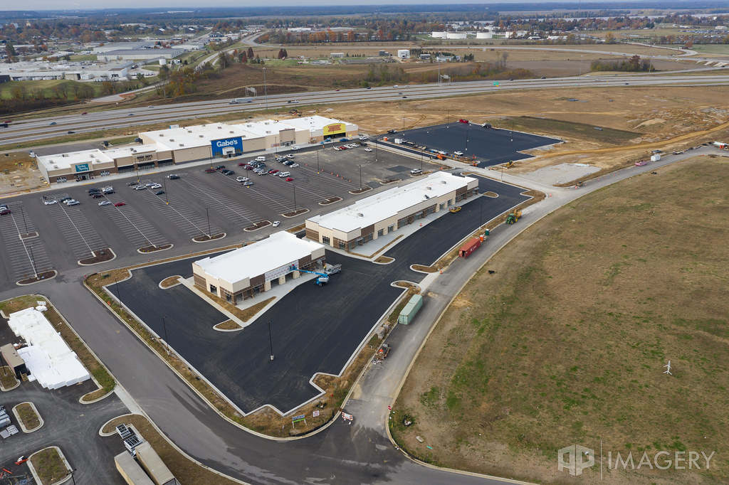
retail development stores commons mall strip owensboro aerial hwy54 gateway construction kentucky usa
New Retail Strip
bridge blue sunset sunrise river downtown glover cary ohioriver owensboro smotherspark
Sunrise at Smothers - 2
treament plant drone station utilities elmersmith industrial cavin water ess municipal aerial owensboro omu dji kentucky usa
OMU - Cavin and Elmer Smith Station
sunset kentucky ky owensboro mywinners
sunset 2-11-07