Elevation of Griffith Ave, Owensboro, KY, USA
Location: United States > Kentucky > Daviess County > Owensboro >
Longitude: -87.114655
Latitude: 37.760373
Elevation: 129m / 423feet
Barometric Pressure: 100KPa
Elevation Map:
Satellite Map:
Related Photos:
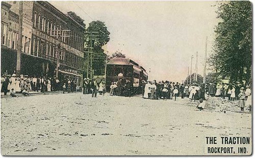
Trolleys on Main Street, Rockport, Indiana
English Park - Bridge View

Robin chicks
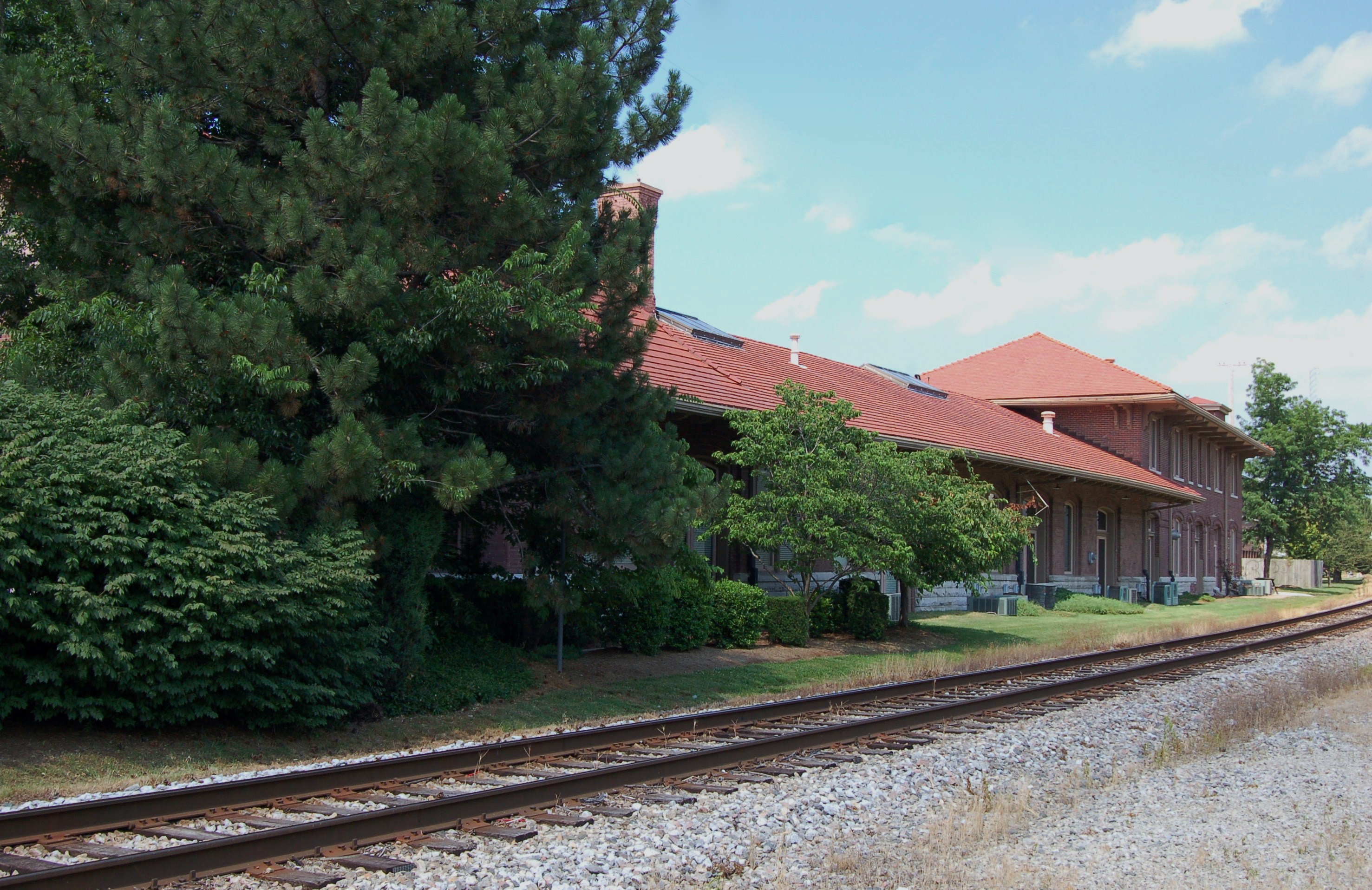
Union Station, Kentucky, Owensboro (3,415b)
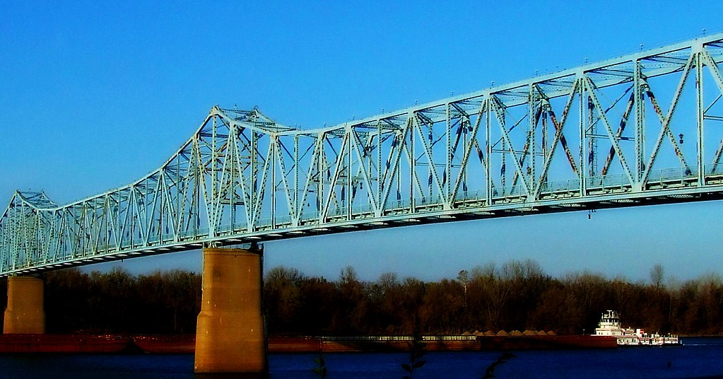
Bridge Over the Ohio

Sunflower in an Open Field
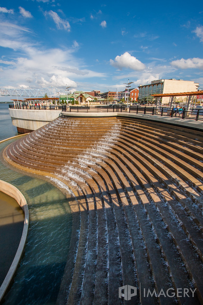
Smothers park - Water Feature

Brush Strokes And Silhouettes II

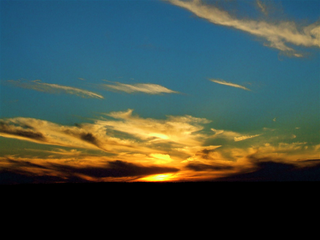
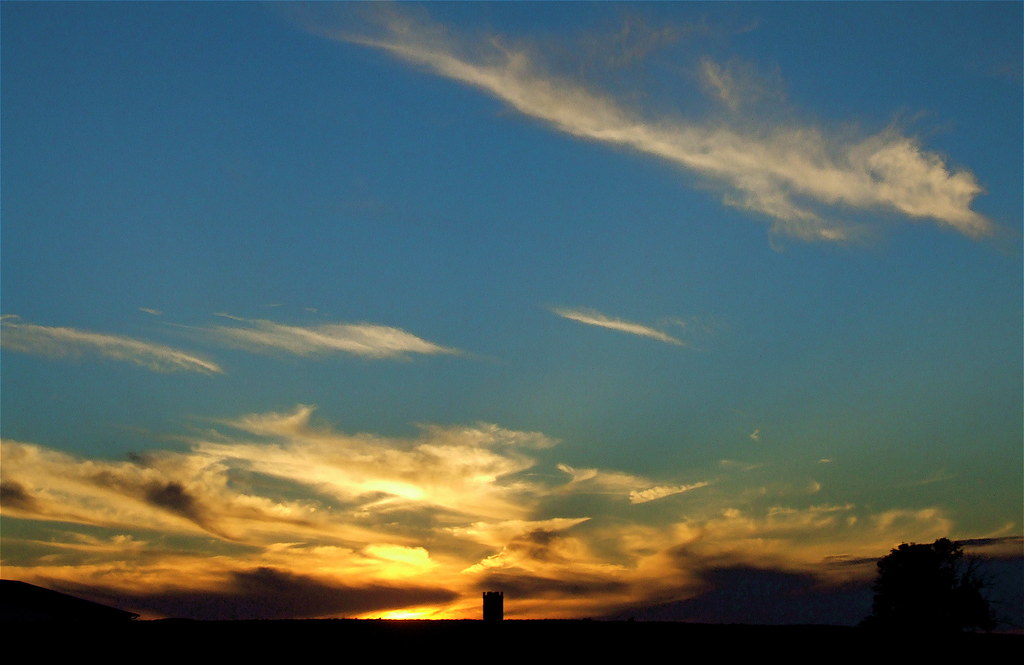
Bluegrass Sunset

Smothers Park - Water Feature
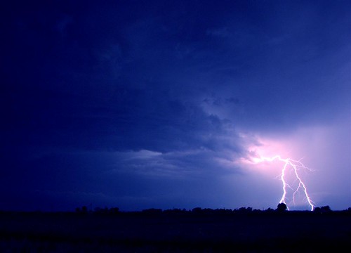
lighting - my fav
Kentucky Sky

Fall Dawn Breaks

Katie inducted into National Junior Honor Society.
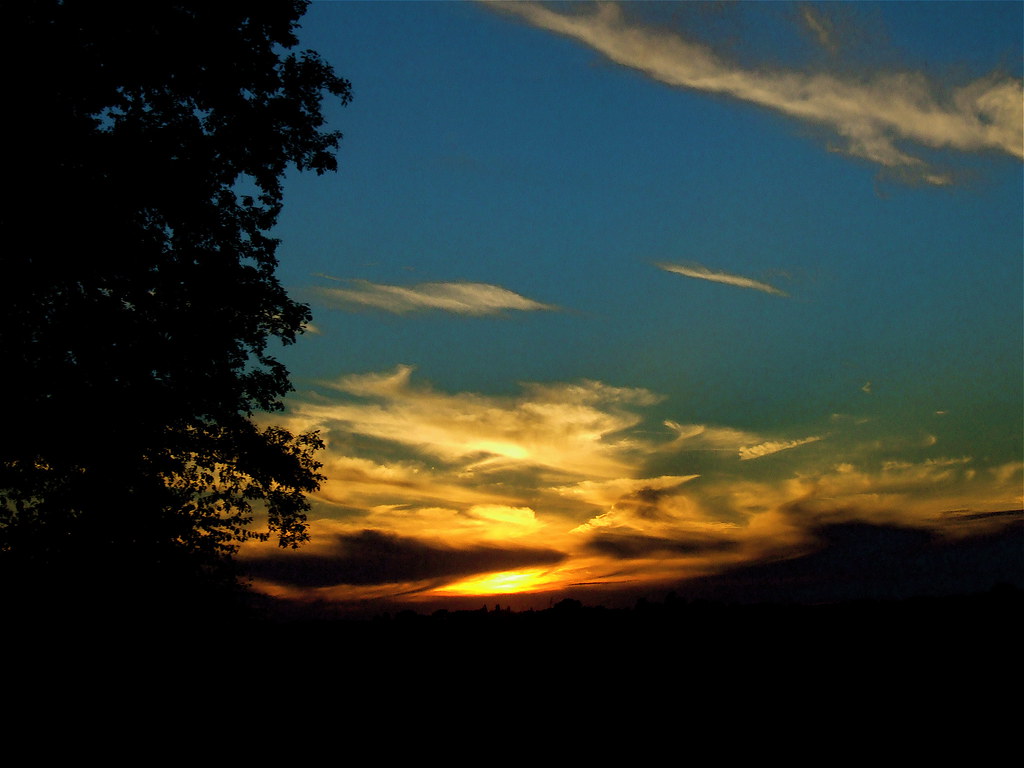
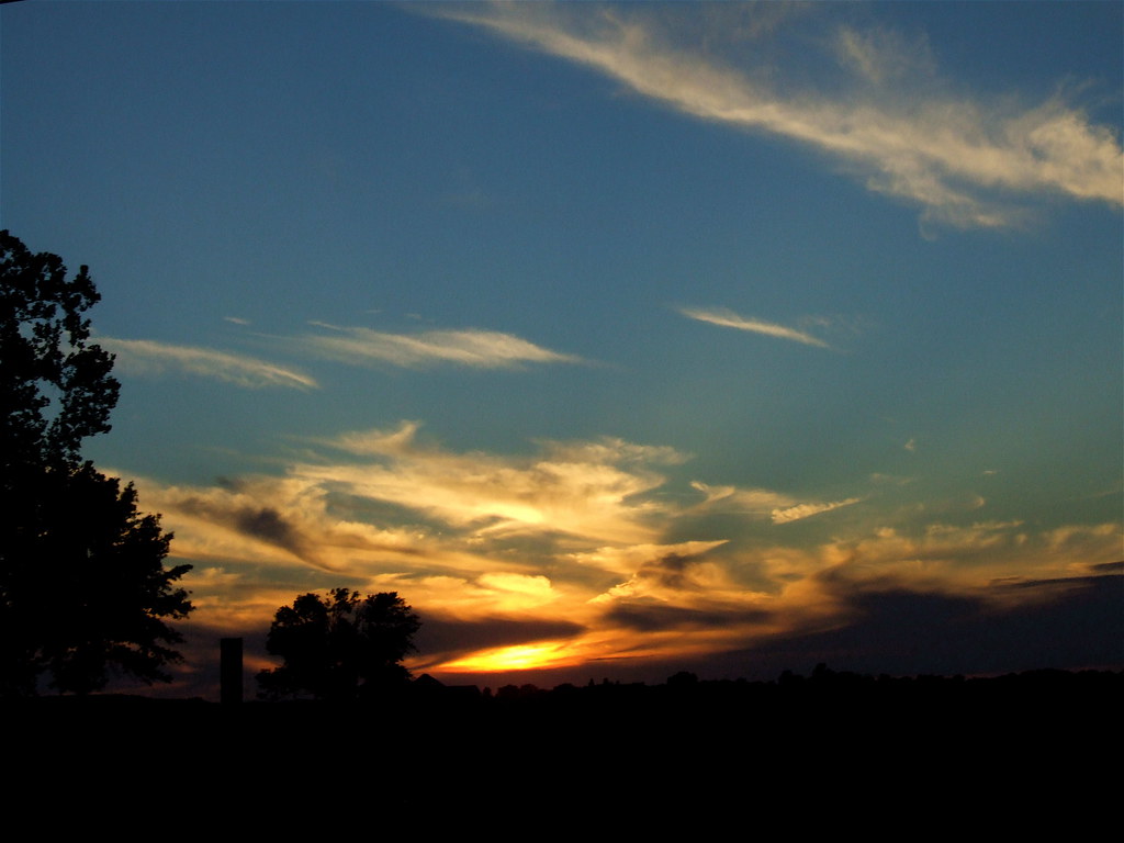
Summer Evening
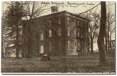
High School, Rockport, Indiana
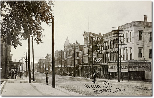
Main Street looking west, Rockport, Indiana
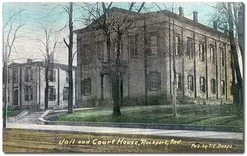
Spencer County Court House and jail, Rockport, Indiana
Brush Strokes And Silhouettes III
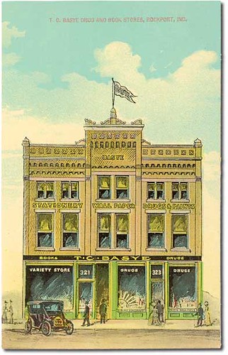
T. C. Basye Drug and Book Stores, Rockport, Indiana
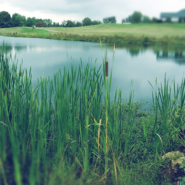
#lake #view

Glover Cary

Aerial - Golf Course Sunset

long gone
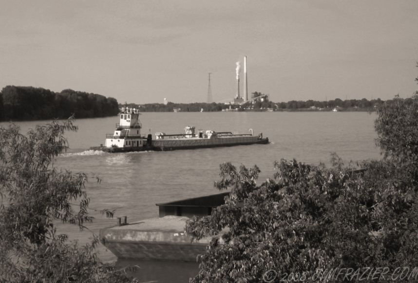
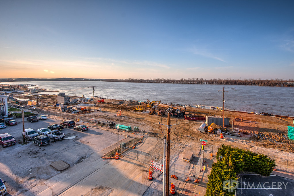
Towboat and Cement Barge
Brush Strokes And Silhouettes I
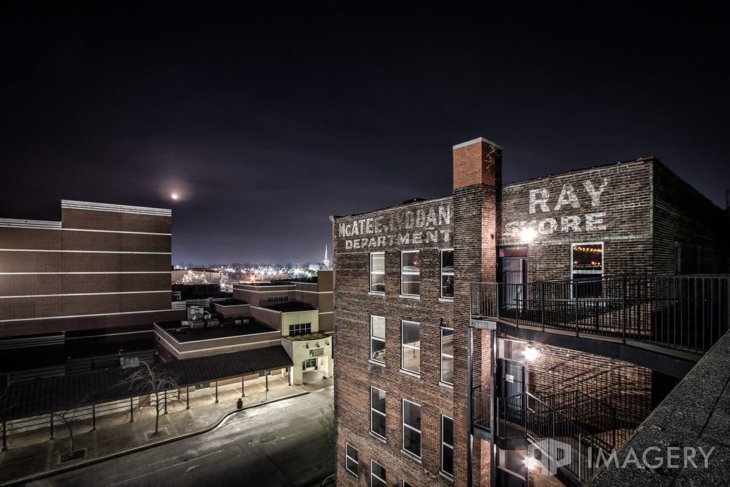
McAtee's at Night

Sunrise in the Summit

Ohio River Sunset
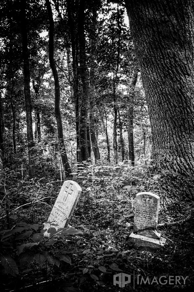
Abandoned - Cemetery

Summit Sunset

Where I'm from. It looks like this sometimes, and … yeah. It's nice to be home. "The Sun, the Sun's is goin down— The Ohio River's turnin' 'round…" #owensboro
Smothers Park - Mar 2011

The Summit
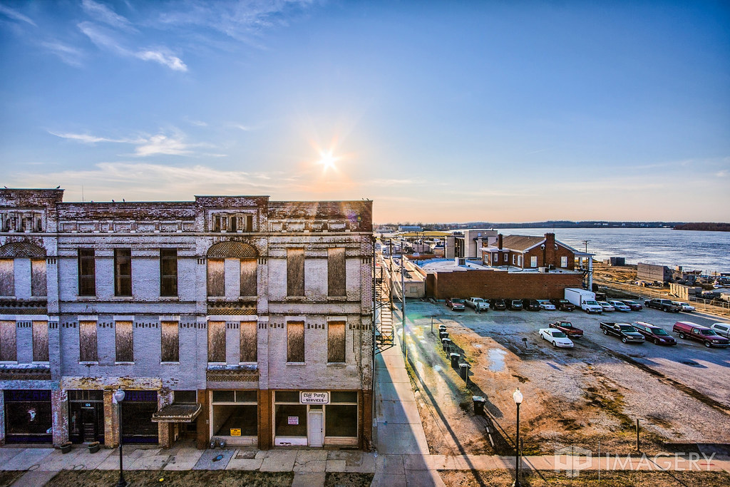
Downtown - Mar 2011

Abandoned - Cemetery

The Ohio River rolls on. #dchs84
Smothers Park

Quack (w/ fx)
Topographic Map of Griffith Ave, Owensboro, KY, USA
Find elevation by address:

Places near Griffith Ave, Owensboro, KY, USA:
Owensboro
2405 Veach Rd
600 E 26th St
2115 Center St
311 W Veterans Blvd
Smothers Park
2508 New Hartford Rd
116 Wesleyan Pl
240 Tremont Dr
Tremont Drive
1222 Avondale Rd
Birkhead Avenue
2114 Oak Ave
3332 Bryant Ct
2767 Wayside Dr E
629 Chuck Gray Ct
3509 Comanche Pl
Daviess County
2011 Trillium Gardens
664 Fargo St
Recent Searches:
- Elevation of Corso Fratelli Cairoli, 35, Macerata MC, Italy
- Elevation of Tallevast Rd, Sarasota, FL, USA
- Elevation of 4th St E, Sonoma, CA, USA
- Elevation of Black Hollow Rd, Pennsdale, PA, USA
- Elevation of Oakland Ave, Williamsport, PA, USA
- Elevation of Pedrógão Grande, Portugal
- Elevation of Klee Dr, Martinsburg, WV, USA
- Elevation of Via Roma, Pieranica CR, Italy
- Elevation of Tavkvetili Mountain, Georgia
- Elevation of Hartfords Bluff Cir, Mt Pleasant, SC, USA