Elevation of NC-, Aulander, NC, USA
Location: United States > North Carolina > Bertie County > Snakebite > Aulander >
Longitude: -77.032746
Latitude: 36.1287073
Elevation: 18m / 59feet
Barometric Pressure: 101KPa
Elevation Map:
Satellite Map:
Related Photos:

NB076CashieRSR1257_bottomUPS_20130604
NB076CashieRSR1257_topDNS_20130604
NB076CashieRSR1257_topUPS_20130604
CIMG1625
IMG_3629
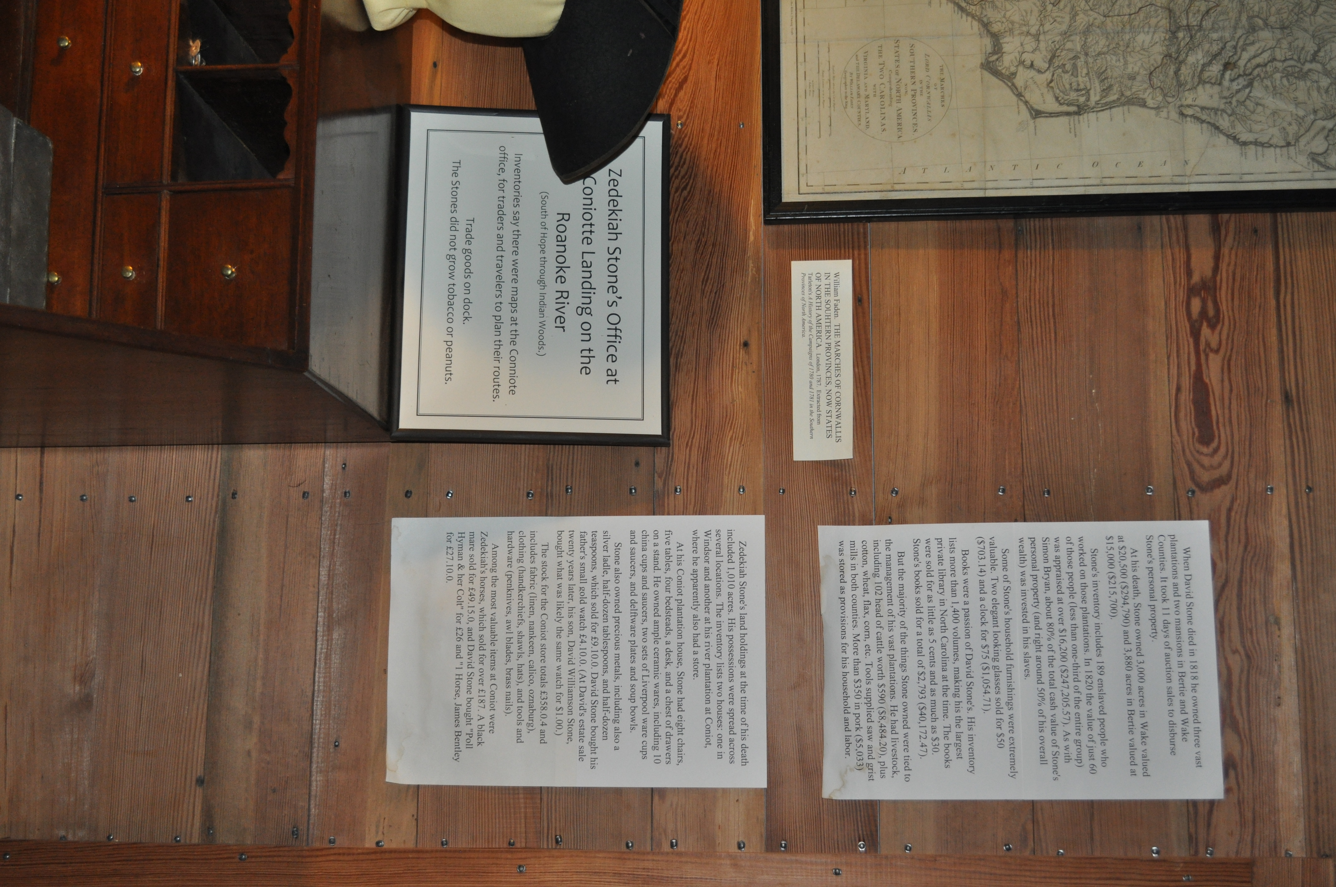
2328 Zedekiah Stones Office Img_16922

2402 Coniotte Landing Img_16996
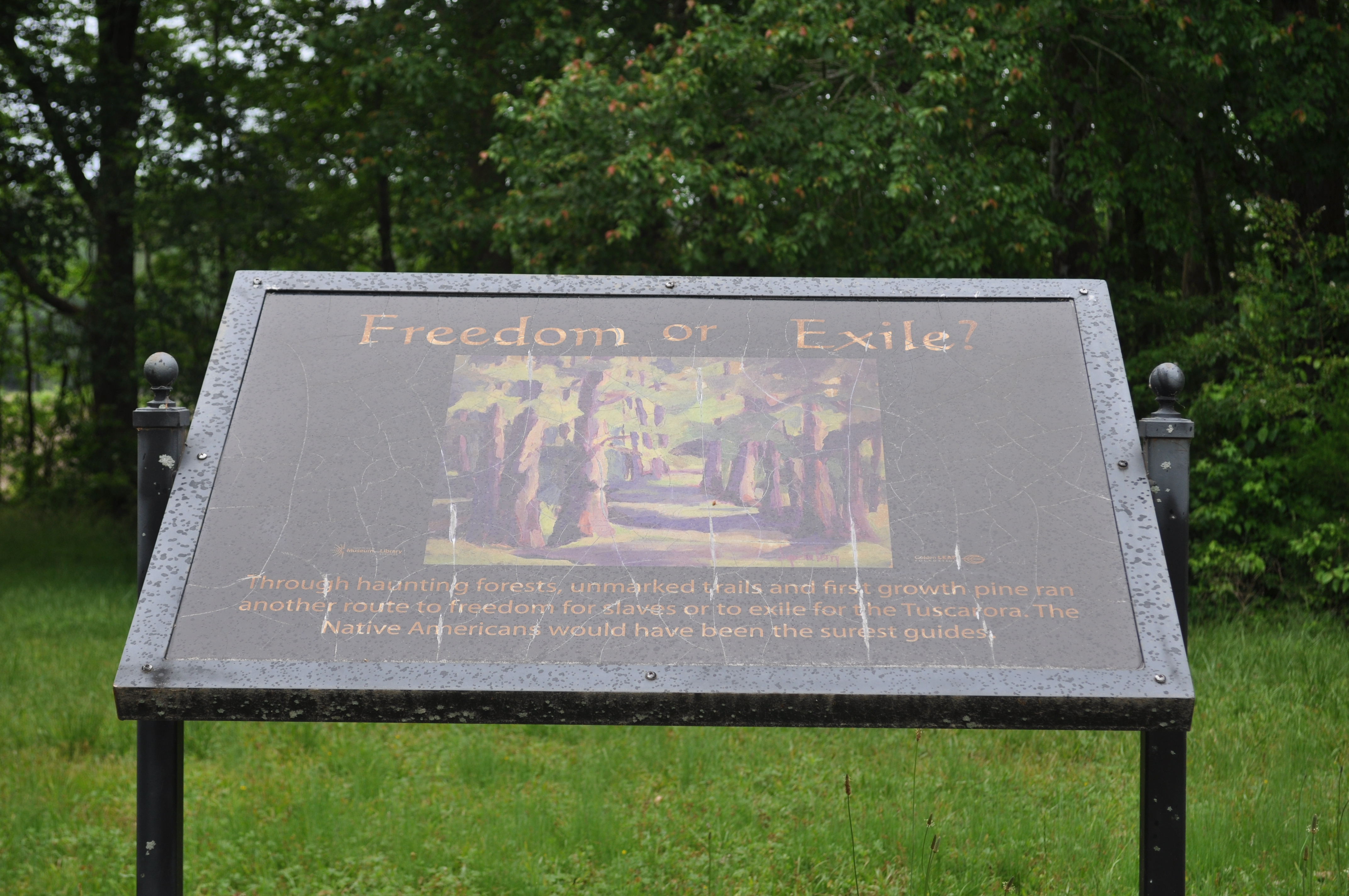
2403 Freedom or Exile Img_16997
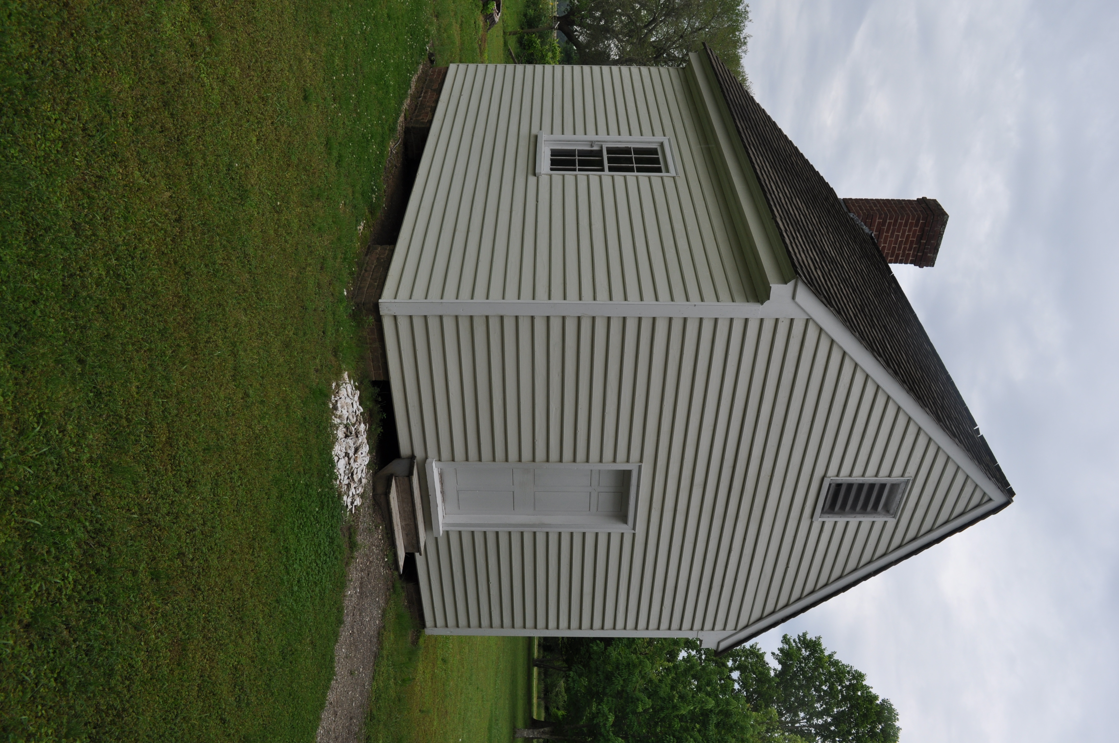
2405 Building A Img_16999

2406 Building A Img_17000
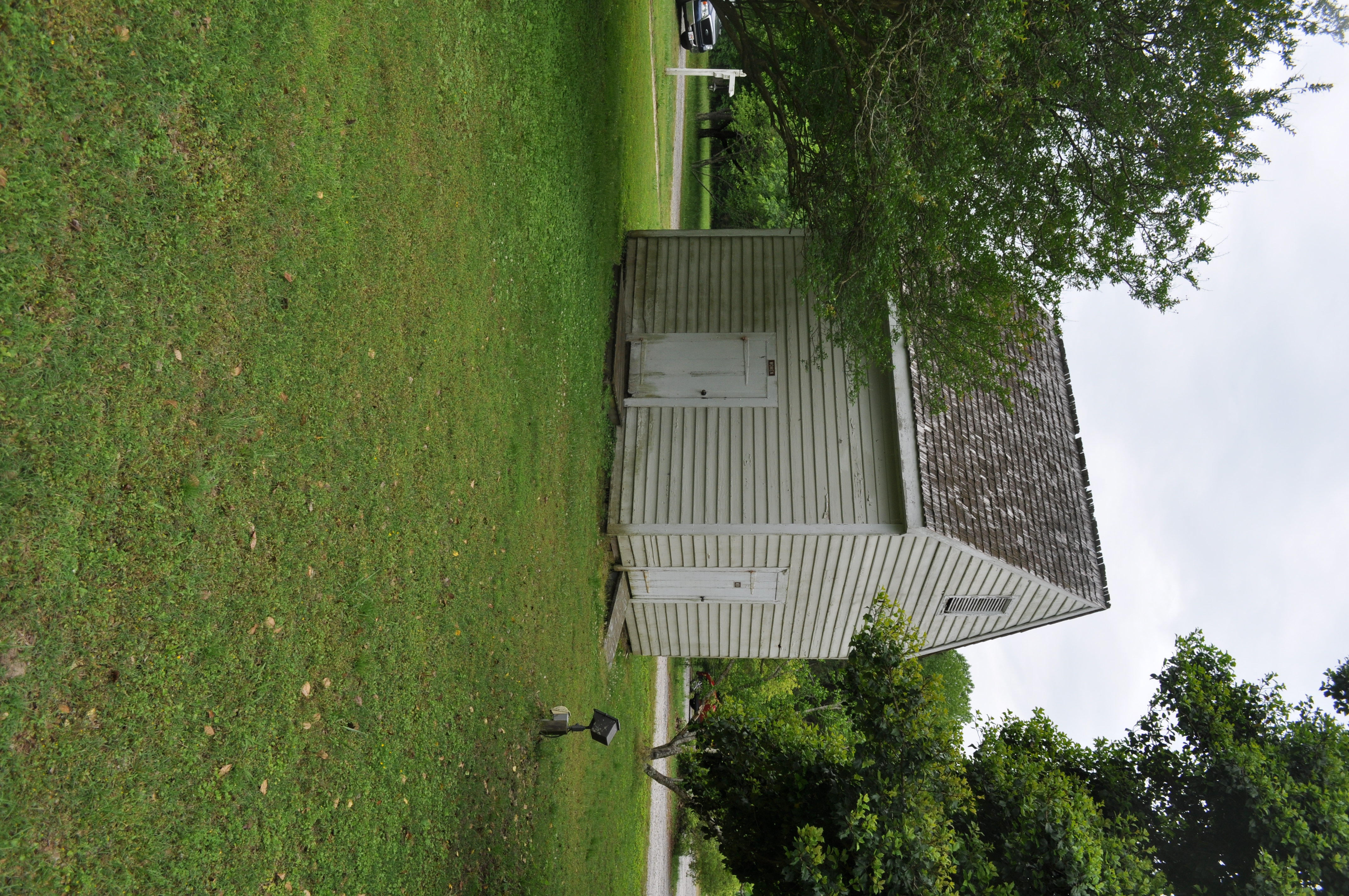
2407 Building B Img_17001
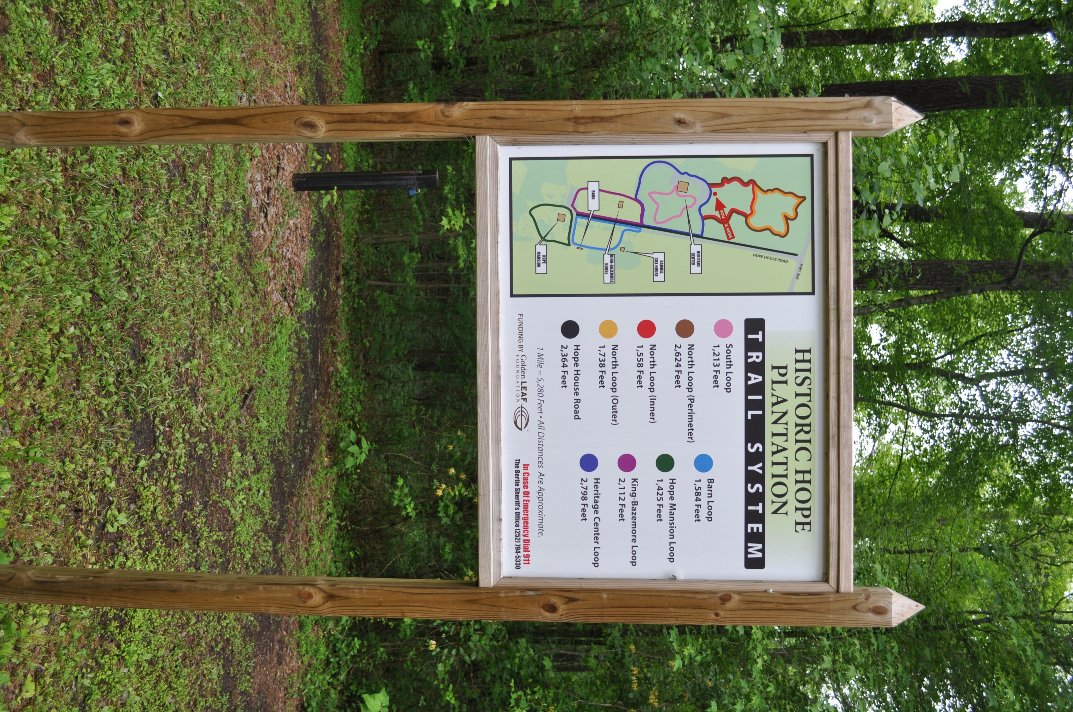
2408 Plantation trail system Img_17002
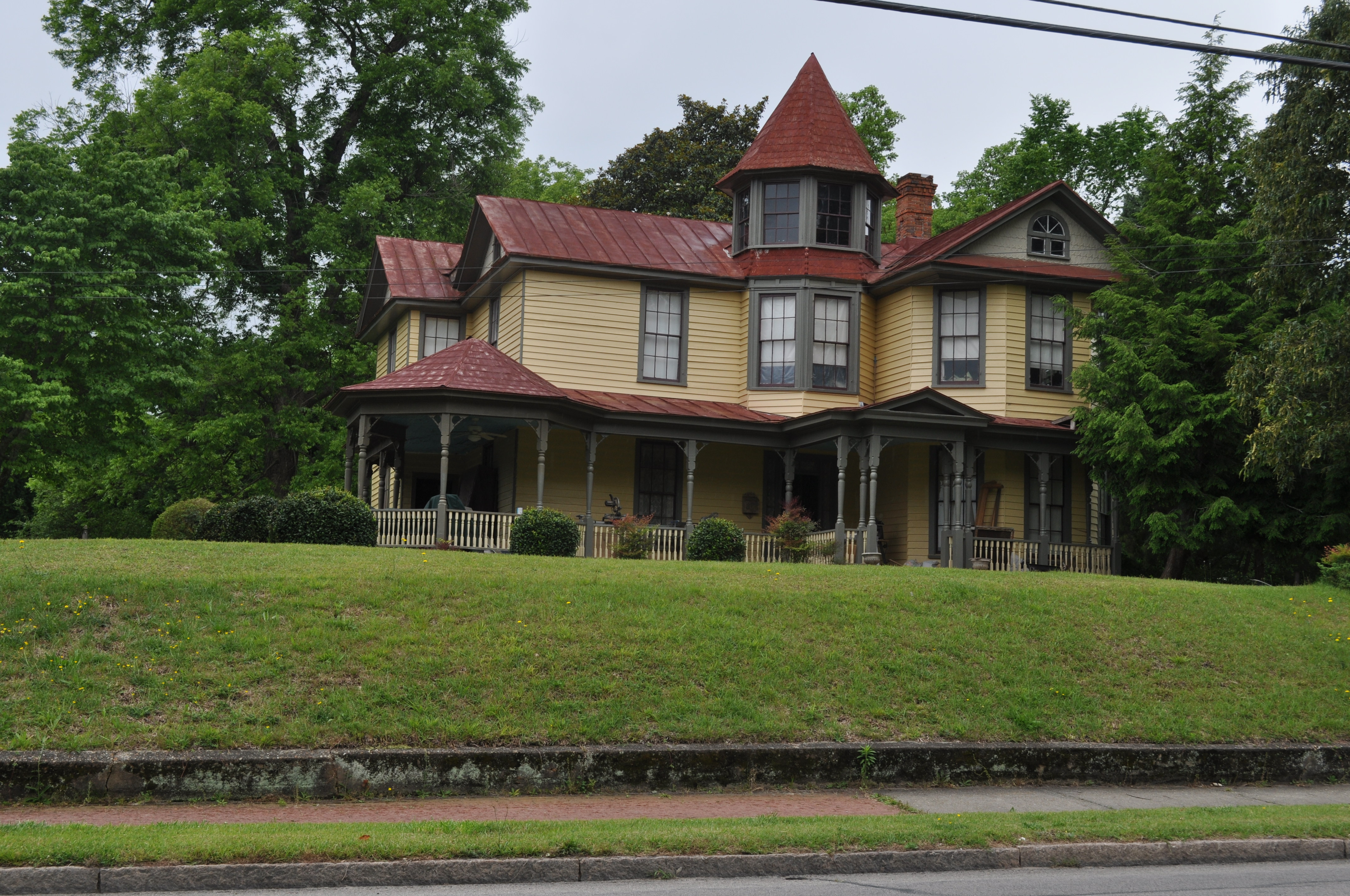
2426 L F Pierce House Img_17020
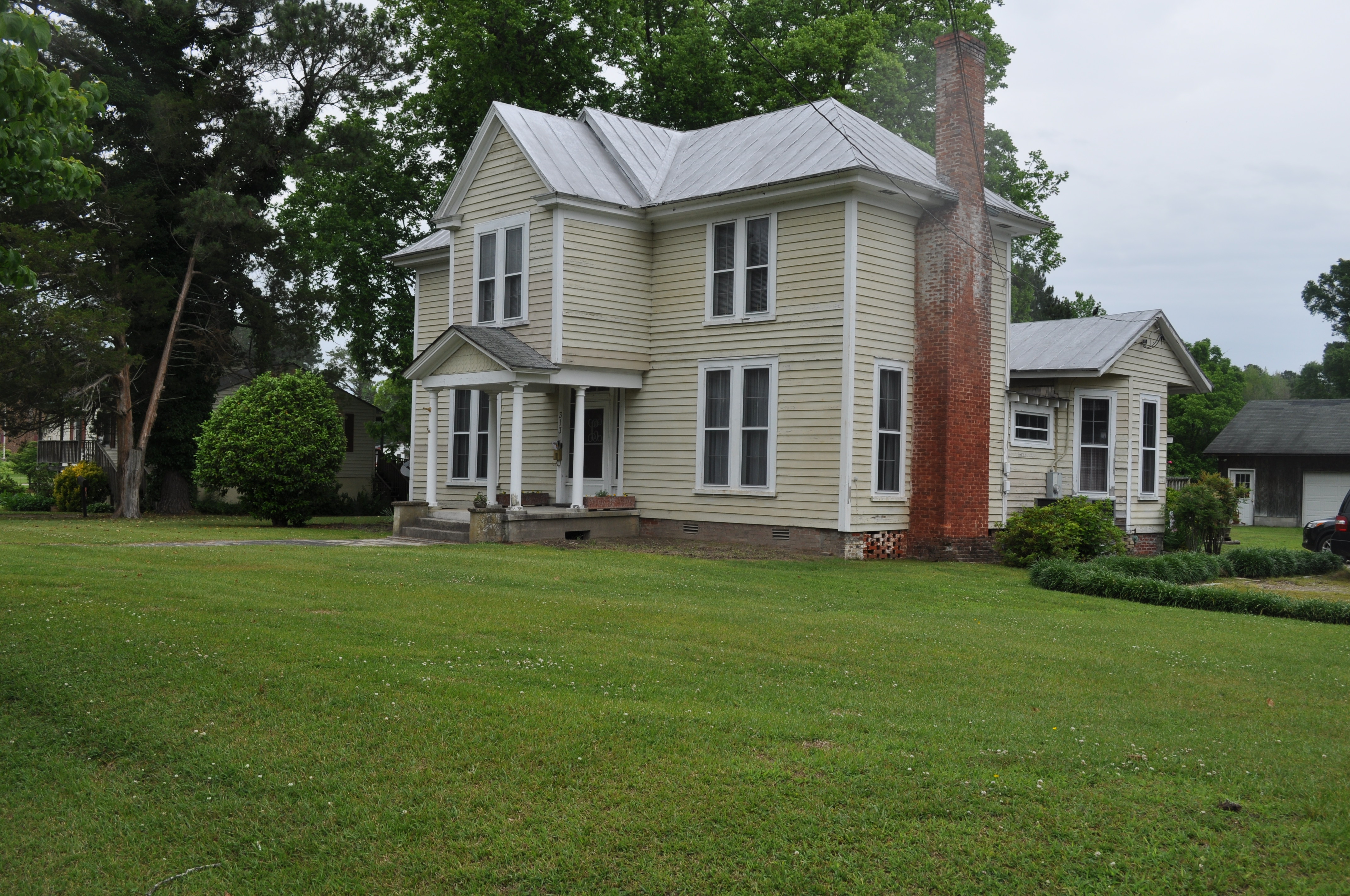
2427 ES Dail House Img_17021

2430 JP Freeman House Img_17024
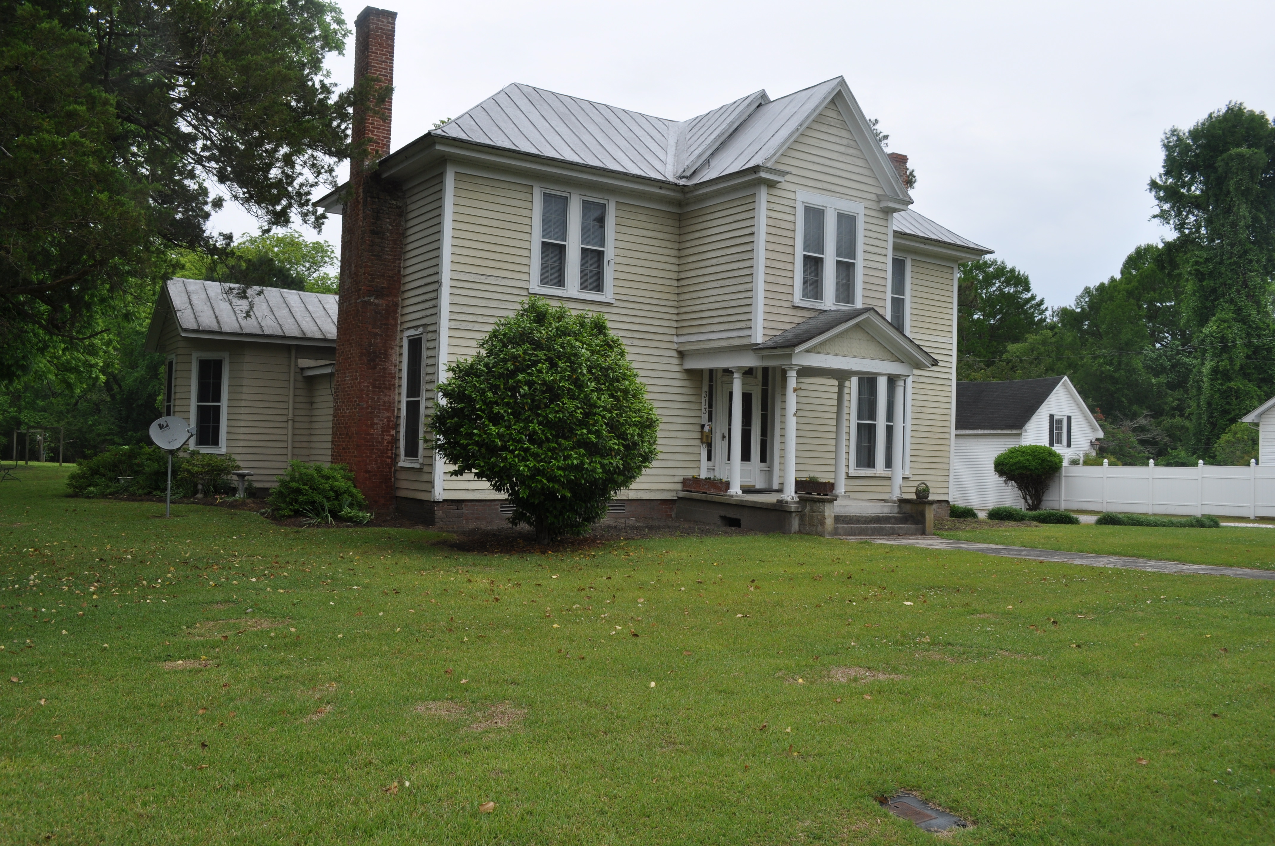
2428 ES Dail House Img_17022
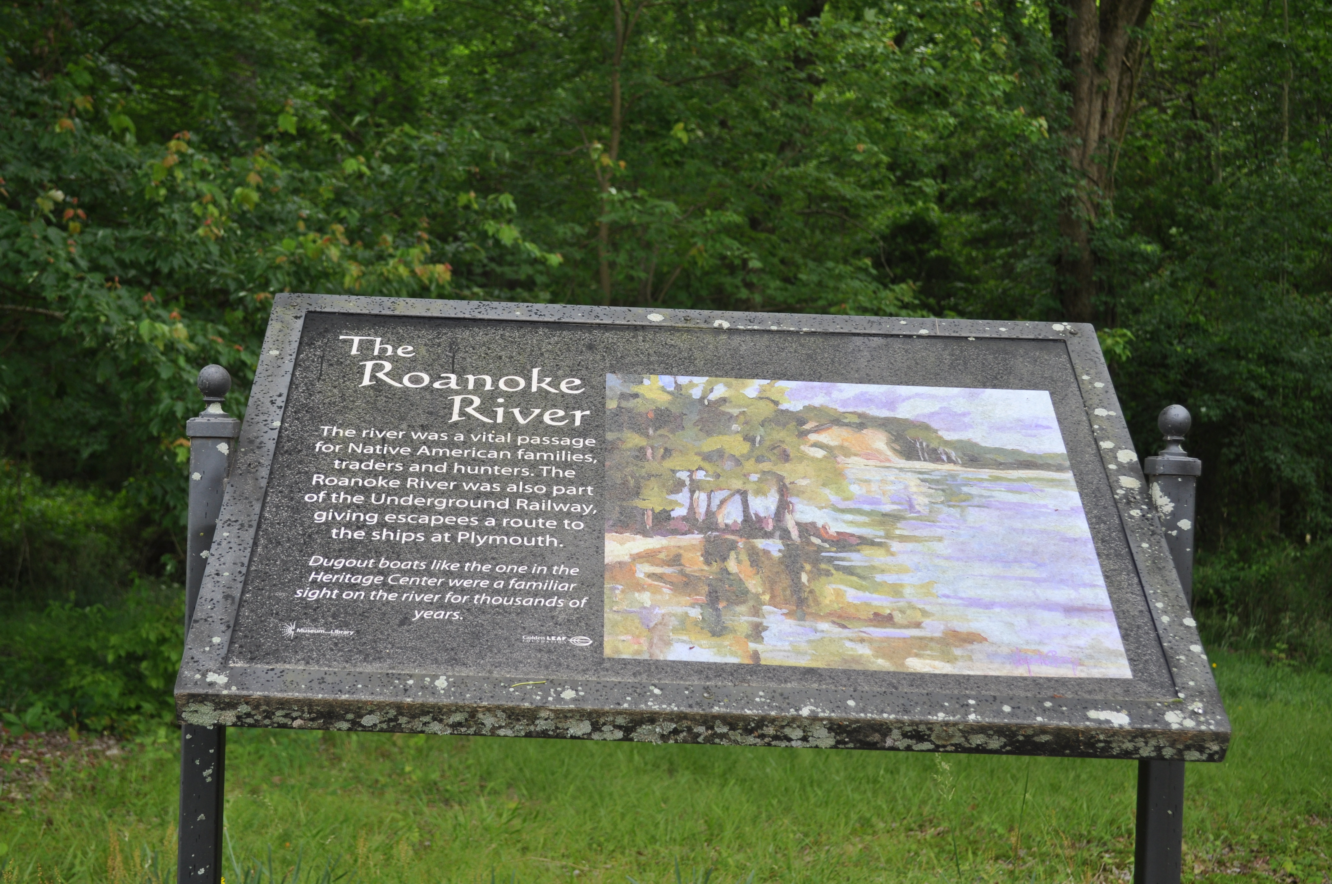
2401 The Roanoke River Img_16995
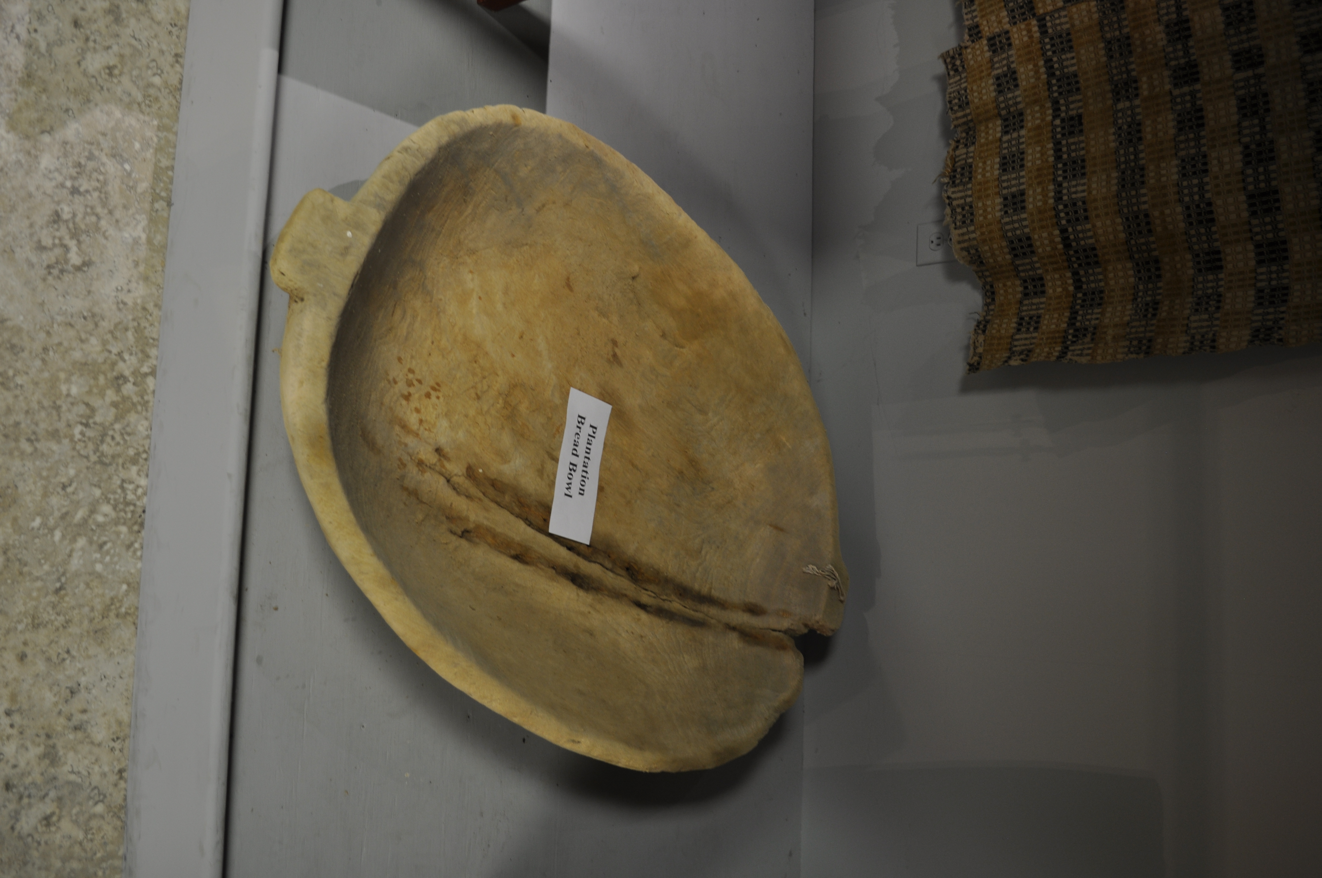
2322 Plantation bread bowl Img_16916
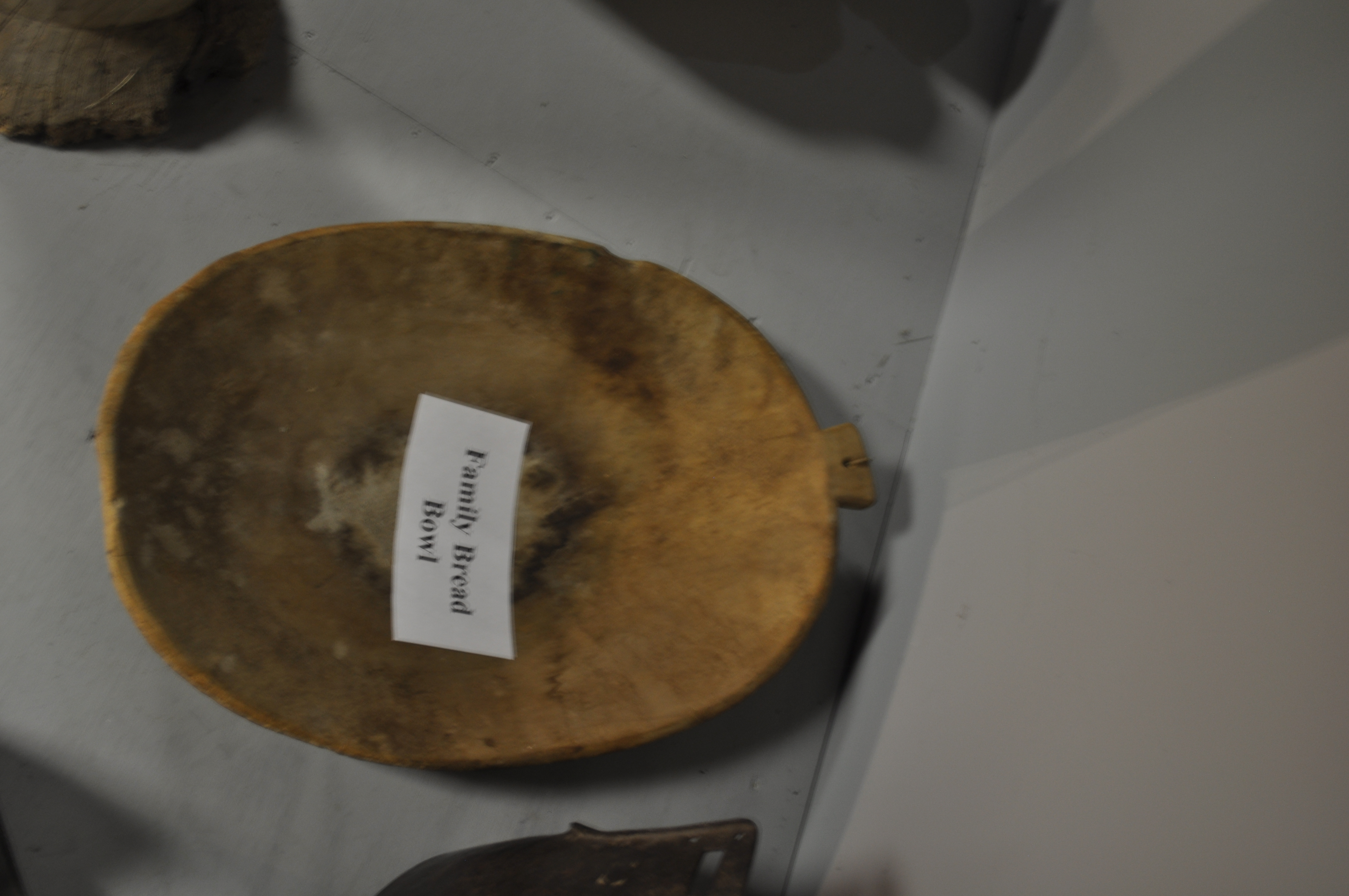
2323 Family bread bowl Img_16917
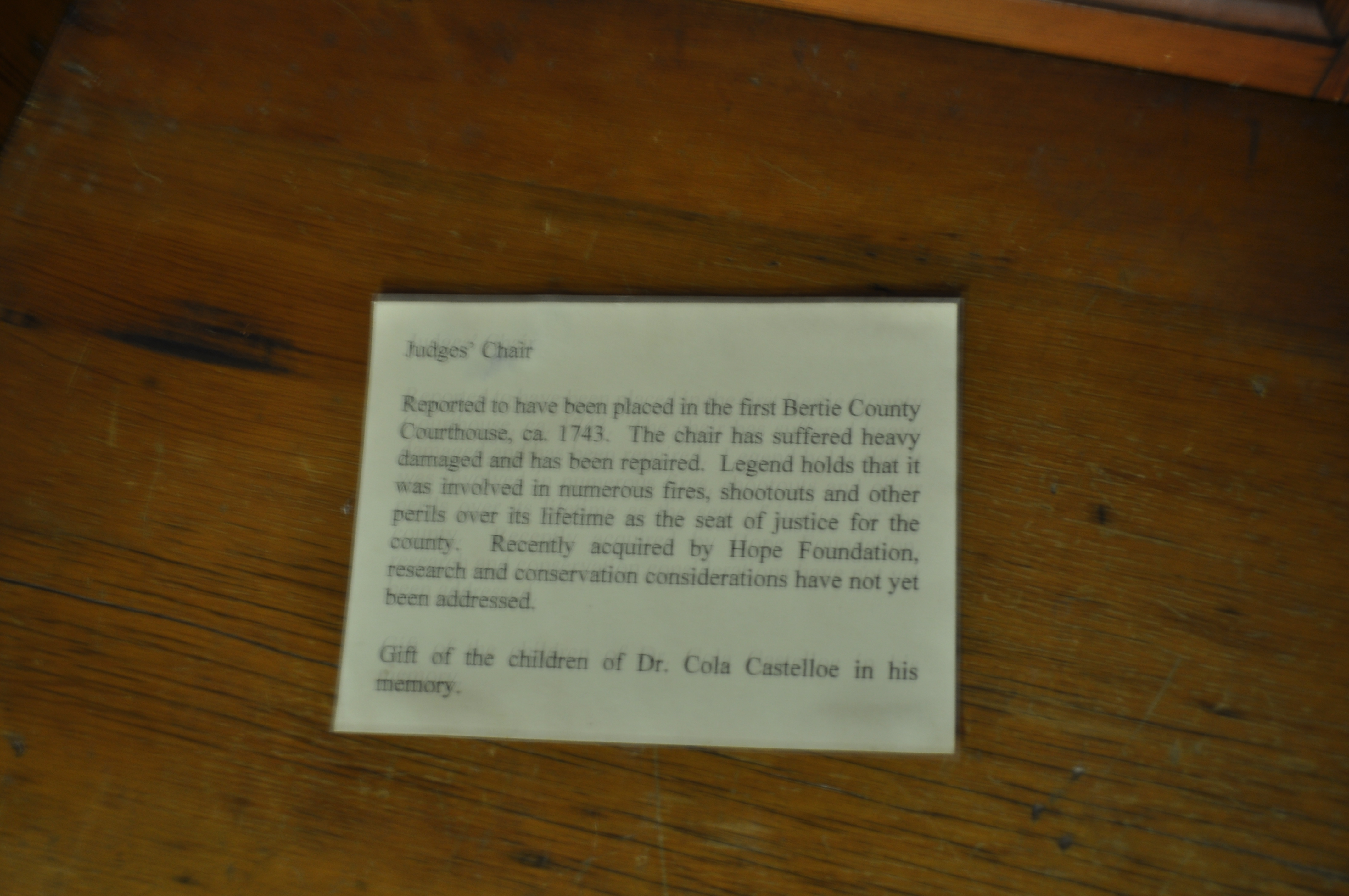
2324 Judges Chair Img_16918
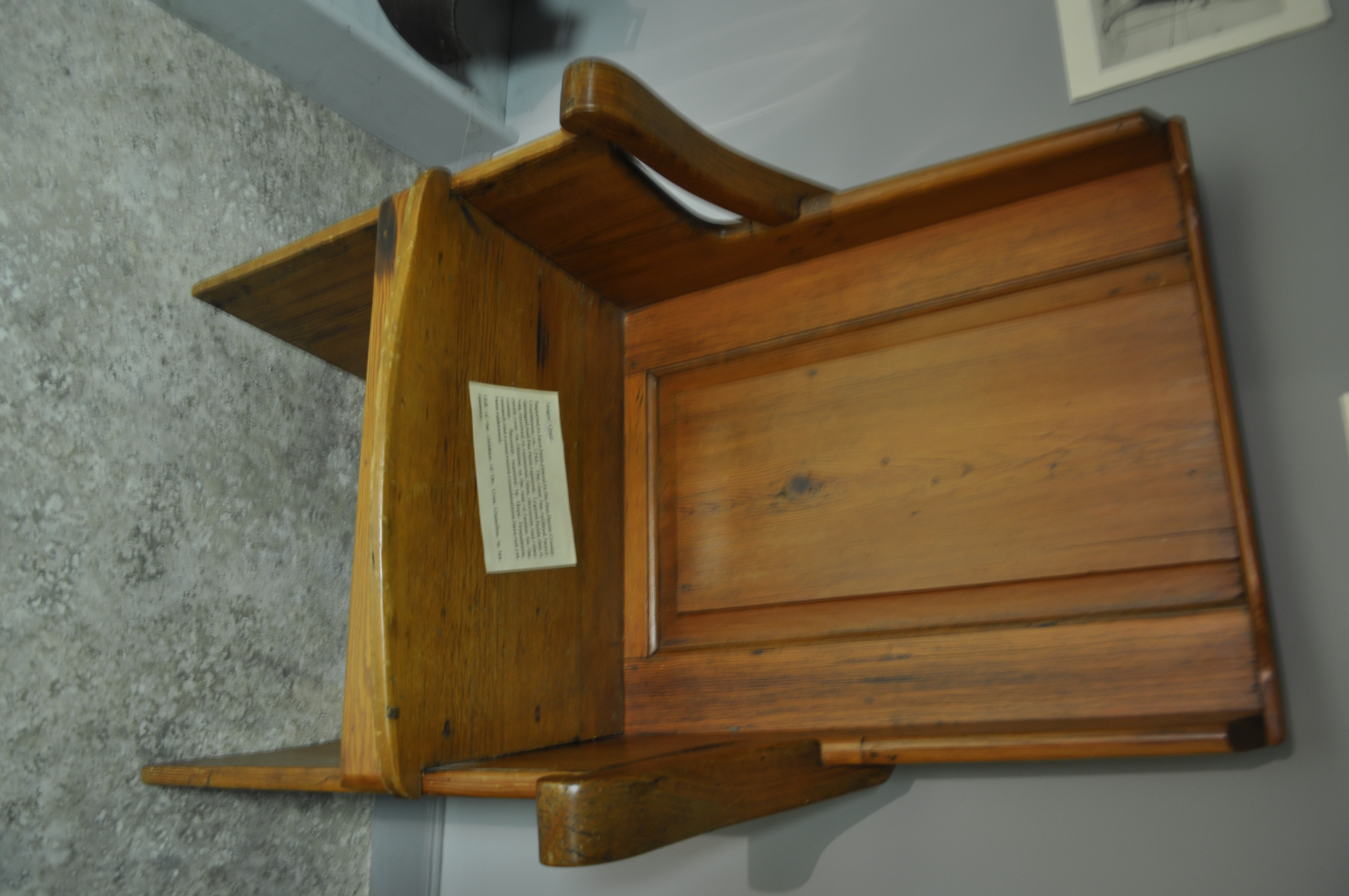
2325 Judges Chair Img_16919
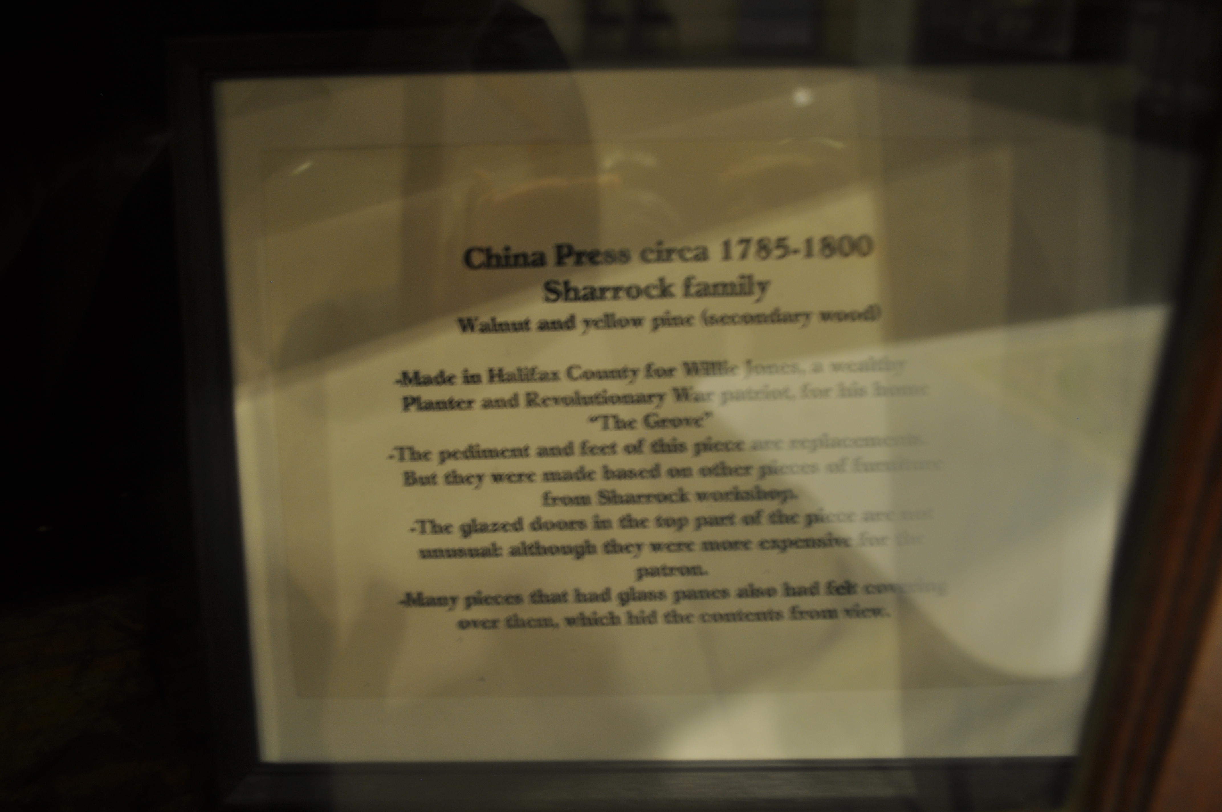
2329 China Press circa 1785-1800 Img_16923
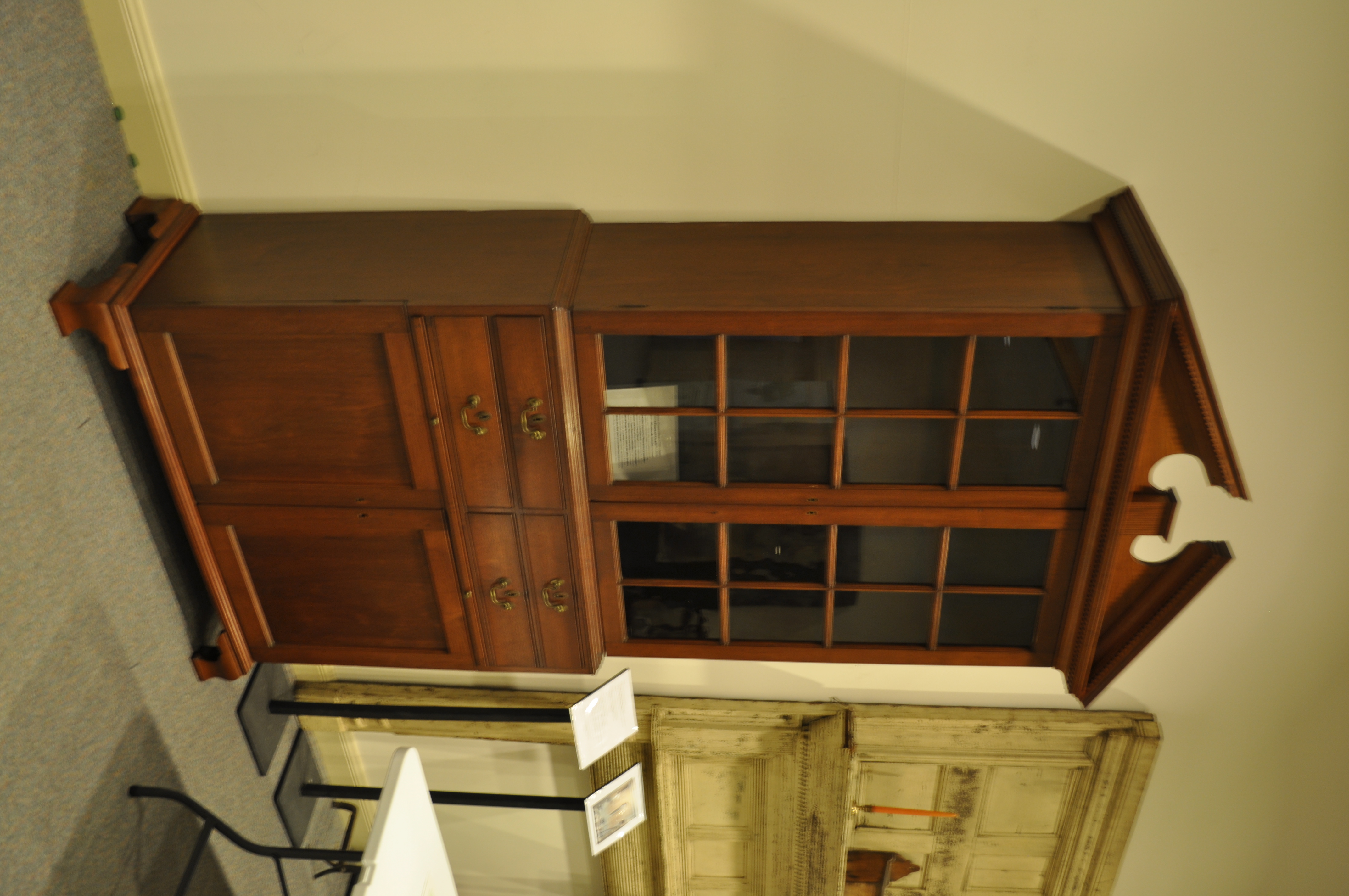
2330 China Press circa 1785-1800 Img_16924
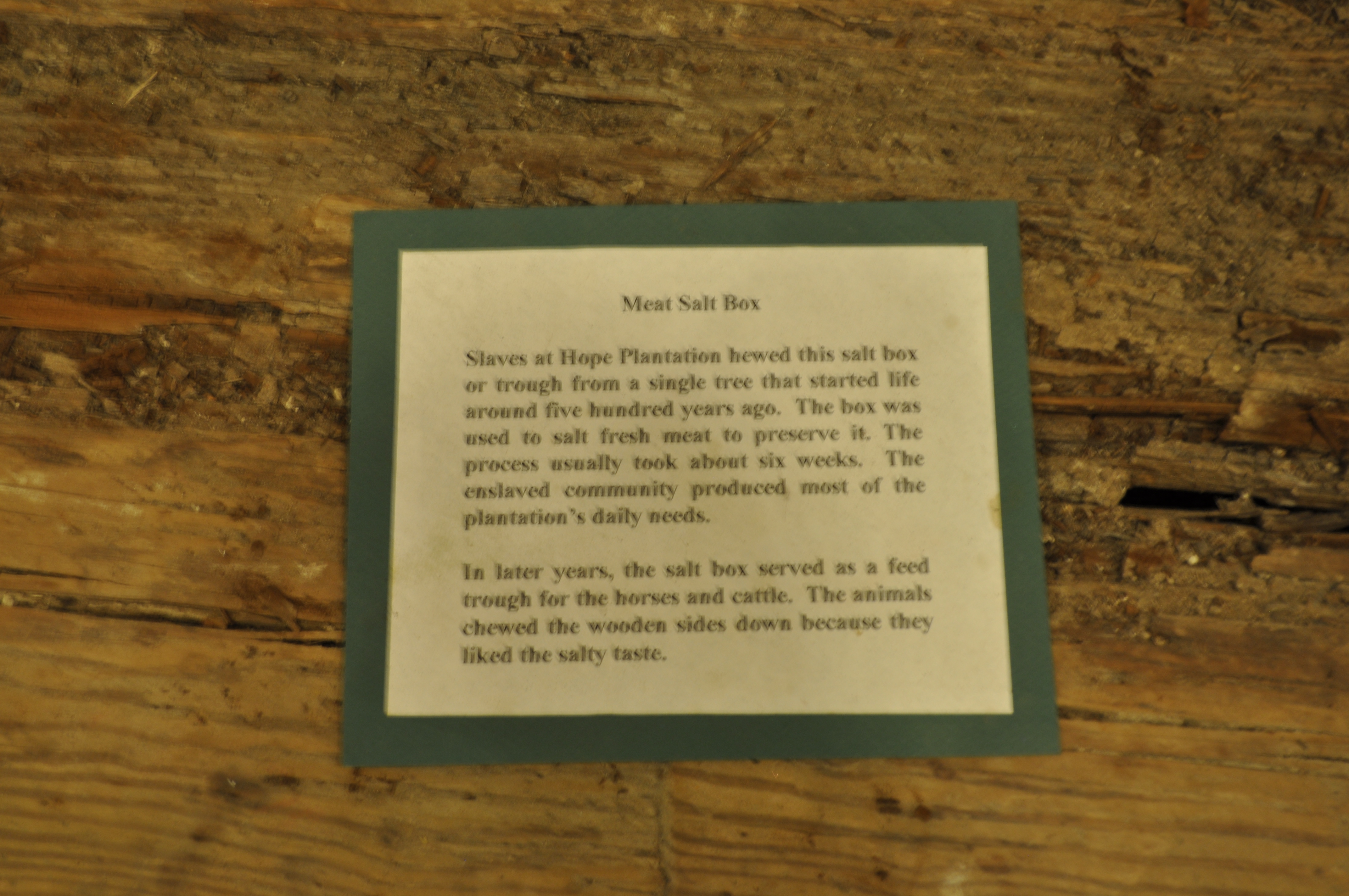
2331 Meat Salt Box Img_16925
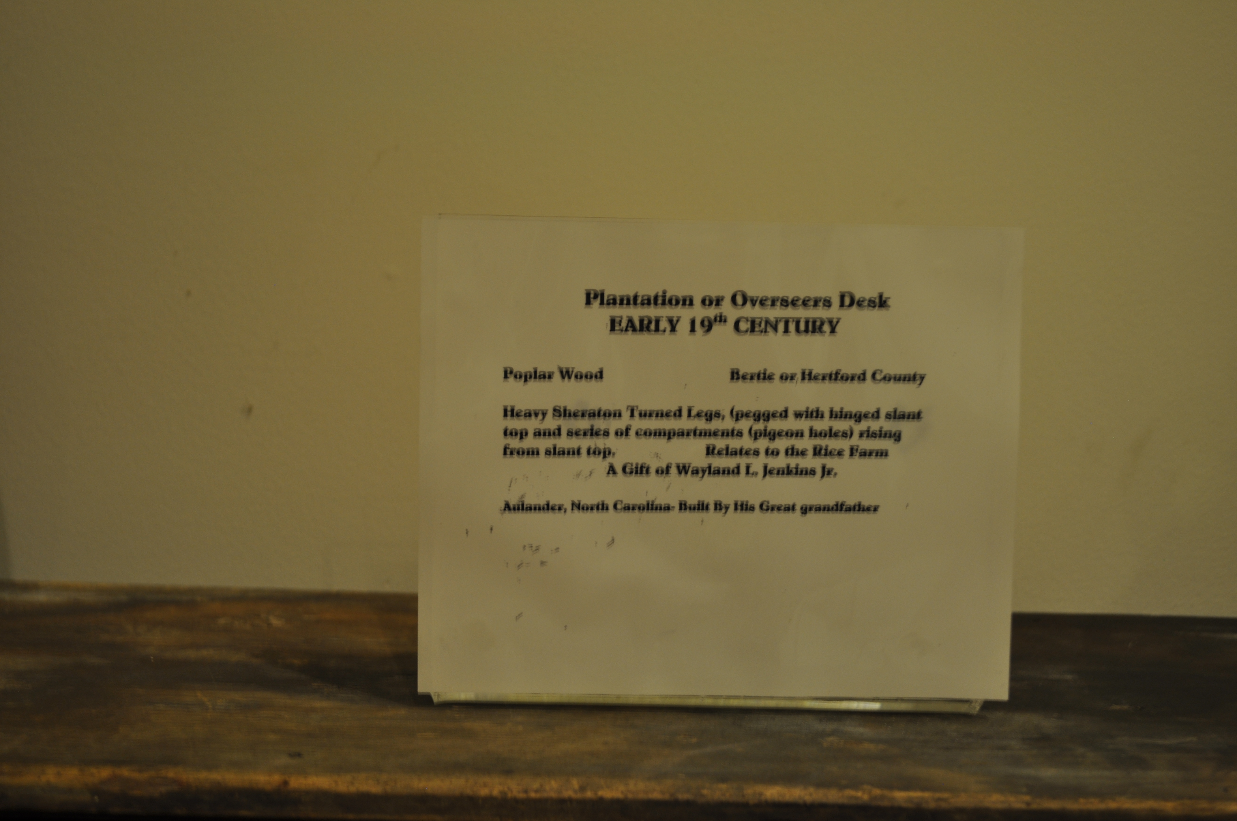
2334 Plantation or Overseers Desk Img_16928
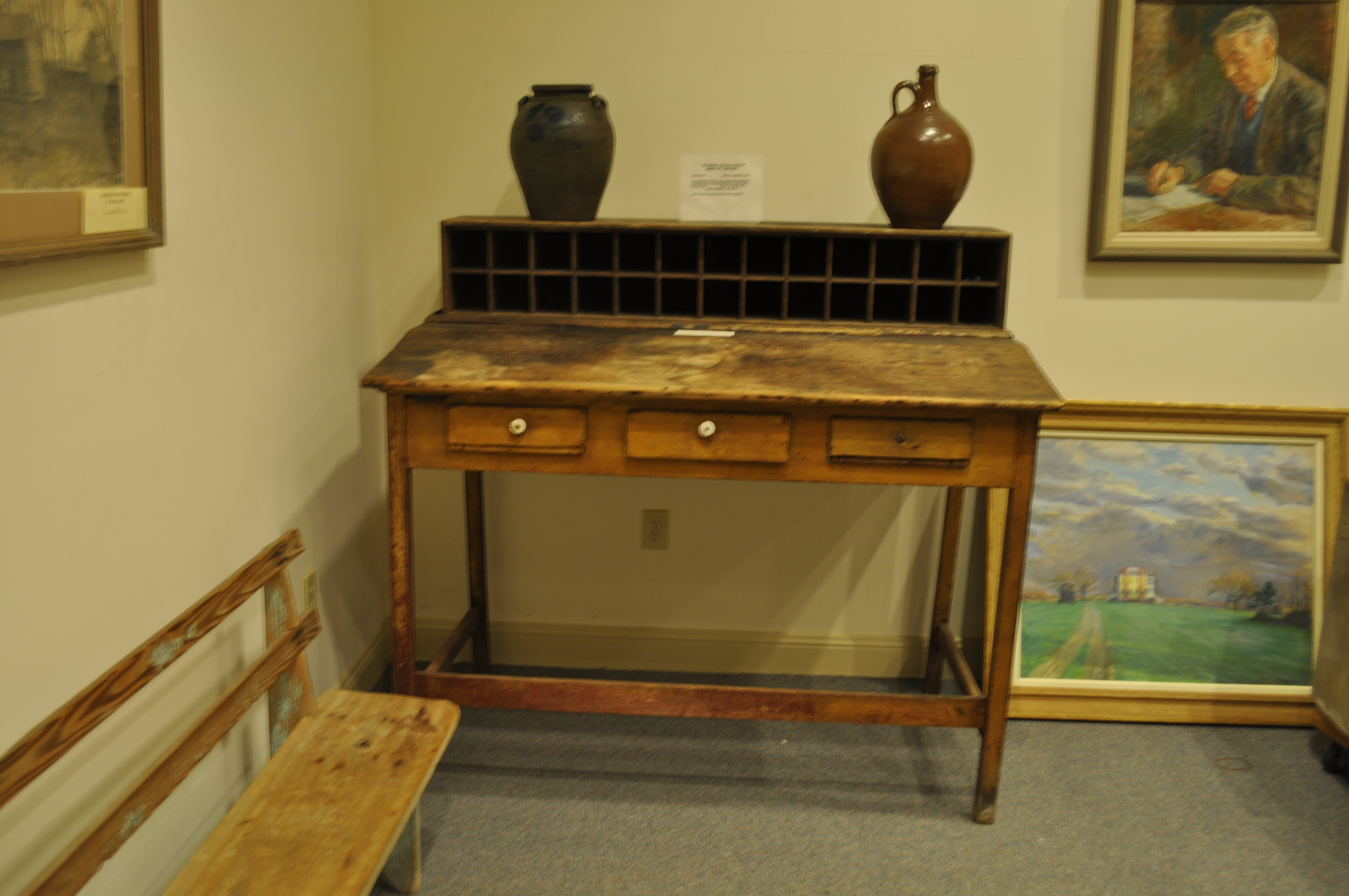
2335 Plantation or Overseers Desk Img_16929
Topographic Map of NC-, Aulander, NC, USA
Find elevation by address:

Places near NC-, Aulander, NC, USA:
Snakebite
Early Station Rd, Windsor, NC, USA
W Askewville Rd, Askewville, NC, USA
108 Cherry Farm Ln
739 Us-13
Cremo Rd, Colerain, NC, USA
Bertie County
Windsor, NC, USA
719 Elm Grove Rd
206 S Pine Dr
Early Station Rd, Ahoskie, NC, USA
Aulander
W Main St, Aulander, NC, USA
242 Us-13
Bruce Farmer Rd, Aulander, NC, USA
Powellsville
Powellsville Town Hall
Lewiston Woodville
1003 N King St
404 Sterlingworth St
Recent Searches:
- Elevation of Corso Fratelli Cairoli, 35, Macerata MC, Italy
- Elevation of Tallevast Rd, Sarasota, FL, USA
- Elevation of 4th St E, Sonoma, CA, USA
- Elevation of Black Hollow Rd, Pennsdale, PA, USA
- Elevation of Oakland Ave, Williamsport, PA, USA
- Elevation of Pedrógão Grande, Portugal
- Elevation of Klee Dr, Martinsburg, WV, USA
- Elevation of Via Roma, Pieranica CR, Italy
- Elevation of Tavkvetili Mountain, Georgia
- Elevation of Hartfords Bluff Cir, Mt Pleasant, SC, USA