Elevation of Aulander, NC, USA
Location: United States > North Carolina > Bertie County > Snakebite >
Longitude: -77.114128
Latitude: 36.2296004
Elevation: 20m / 66feet
Barometric Pressure: 101KPa
Elevation Map:
Satellite Map:
Related Photos:

IMG_3283

Glad to see American Airlines see that not all body types can get that head-on-the-knees position.

NCVA 3837

Arizona and er.....North Carolina?

Ghost sign abandoned building
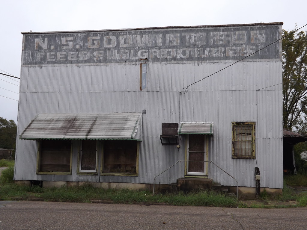
Ghost sign abandoned building

NCVA #3837 GP38-3

NCVA #4167 Mate

Cruel Bonds

Tomahawk Motel, Ahoskie, NC

@ Ahoskie, NC Aug 2004

3813 @ Ahoskie, NC Aug 2004
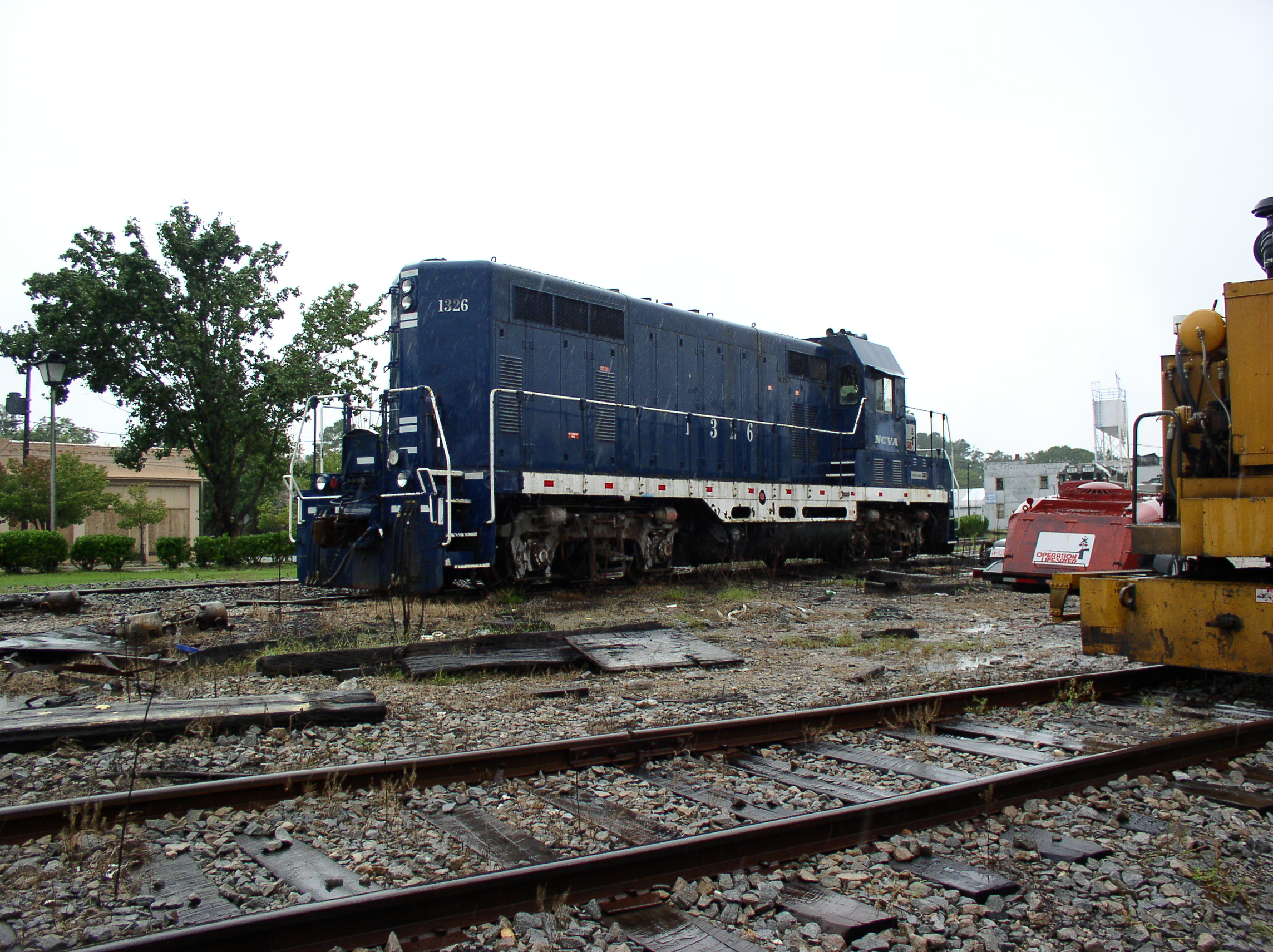
1326 @ Ahoskie, NC Aug 2004

1326 @ Ahoskie, NC Aug 2004 2

Bertie County Church

Averitte-Pugh House

Ahoskie Cinema 4

Various Shops 1

Ahoskie Town Hall

Ahoskie Radiator and Glass

The Only One

NC 305 & 561
Topographic Map of Aulander, NC, USA
Find elevation by address:

Places near Aulander, NC, USA:
W Main St, Aulander, NC, USA
206 S Pine Dr
Bruce Farmer Rd, Aulander, NC, USA
St. Johns
Early Station Rd, Ahoskie, NC, USA
NC-, Woodland, NC, USA
Lewiston Woodville
1010 Nc-305
508 Curtis St
3539 Governors Rd
620 Church St W
Liverman Road
Tomahawk Motel
Ahoskie
Snakebite
Hertford County
Kingdom Hall-jehovah's
108 Cherry Farm Ln
Brinkleyville Rd, Ahoskie, NC, USA
Murfreesboro
Recent Searches:
- Elevation of Corso Fratelli Cairoli, 35, Macerata MC, Italy
- Elevation of Tallevast Rd, Sarasota, FL, USA
- Elevation of 4th St E, Sonoma, CA, USA
- Elevation of Black Hollow Rd, Pennsdale, PA, USA
- Elevation of Oakland Ave, Williamsport, PA, USA
- Elevation of Pedrógão Grande, Portugal
- Elevation of Klee Dr, Martinsburg, WV, USA
- Elevation of Via Roma, Pieranica CR, Italy
- Elevation of Tavkvetili Mountain, Georgia
- Elevation of Hartfords Bluff Cir, Mt Pleasant, SC, USA